Elevation of Zolman Rd, Fredericktown, OH, USA
Location: United States > Ohio > Knox County > Berlin Township >
Longitude: -82.540931
Latitude: 40.5445412
Elevation: 368m / 1207feet
Barometric Pressure: 97KPa
Elevation Map:
Satellite Map:
Related Photos:
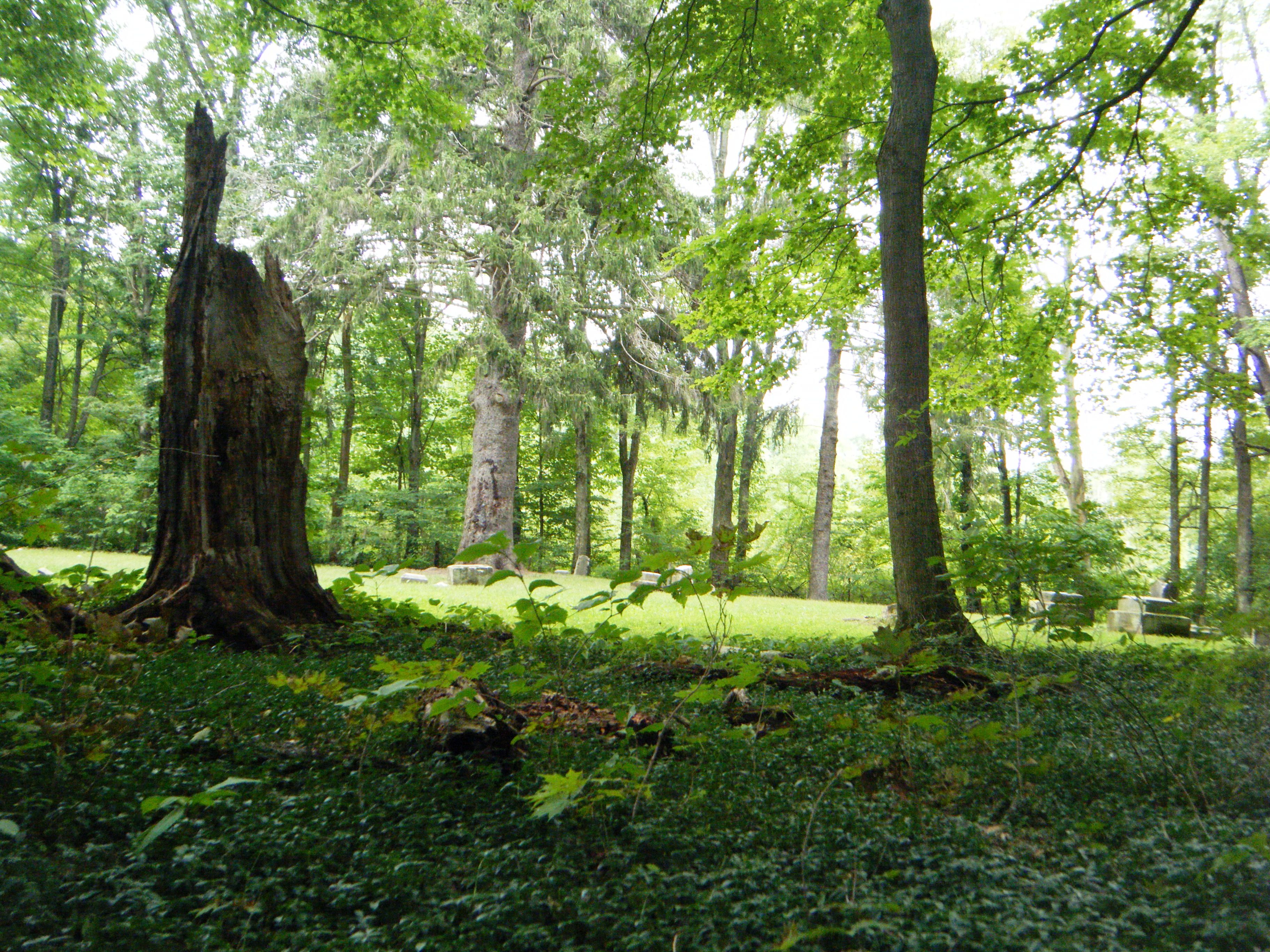
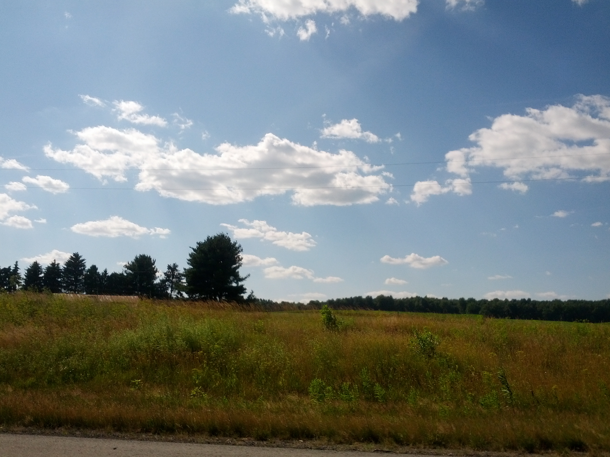
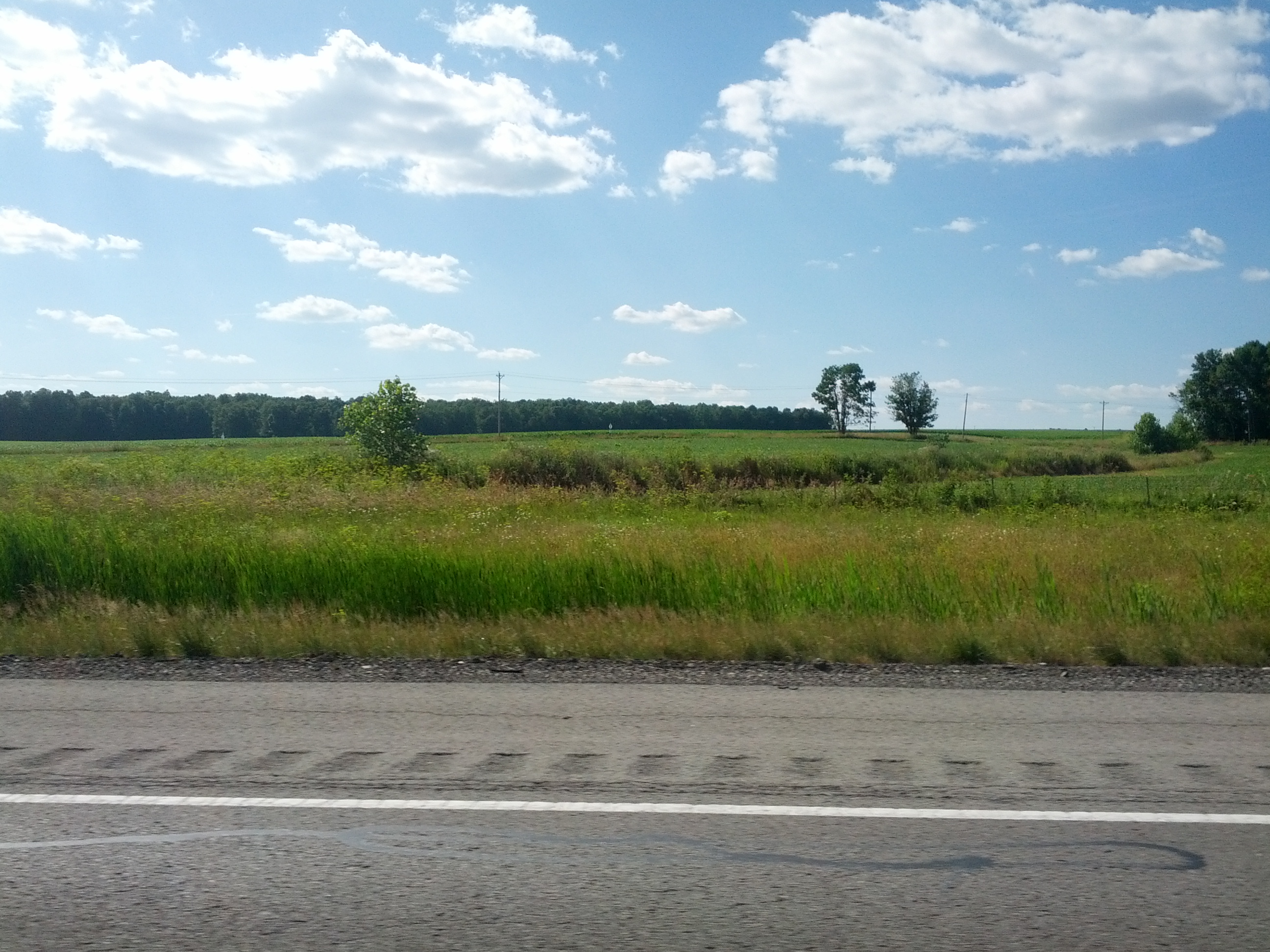
view from the woods
photo(an6z)

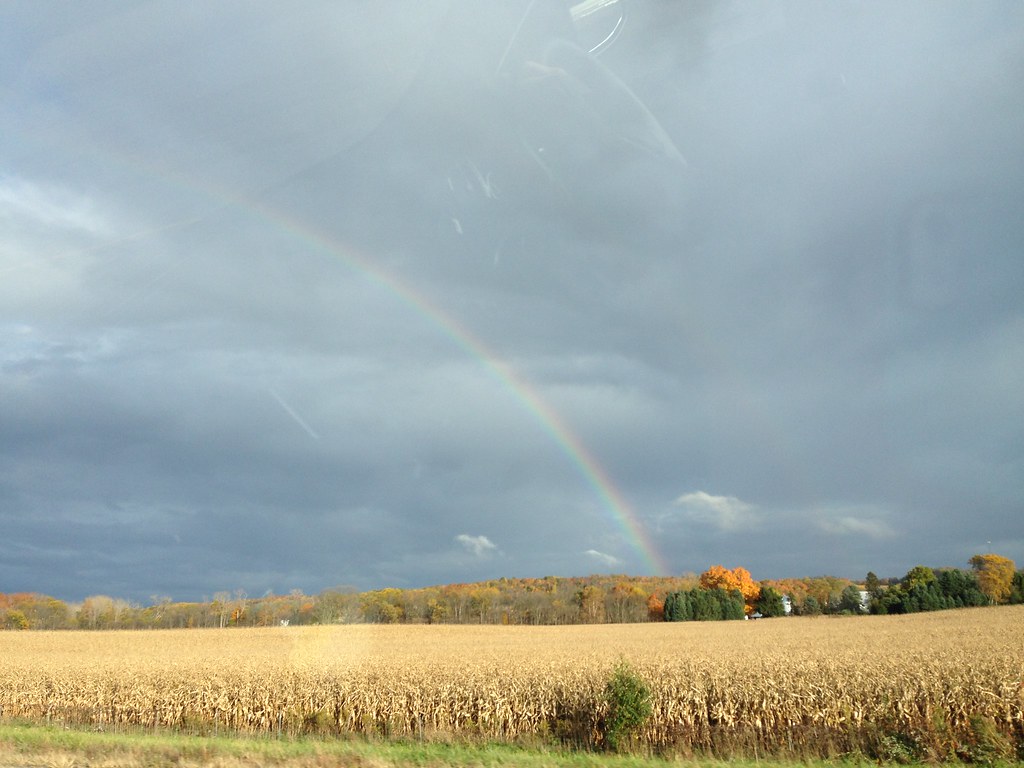
#cloudpoker #sunrise #fallphotos #iphonephotography #clouds #highwayphotography #mobilepictures #sun #10-2-14
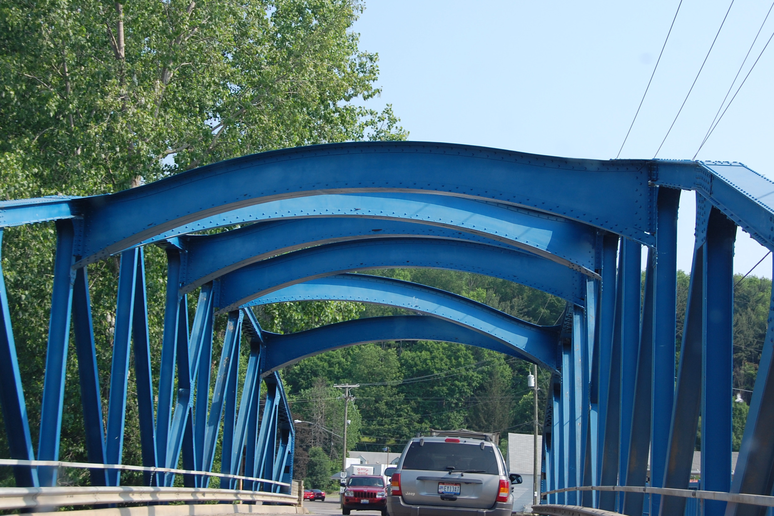
Southern Ohio Bridge June 2011

Sunset Water Tower

Ordinary Wonder

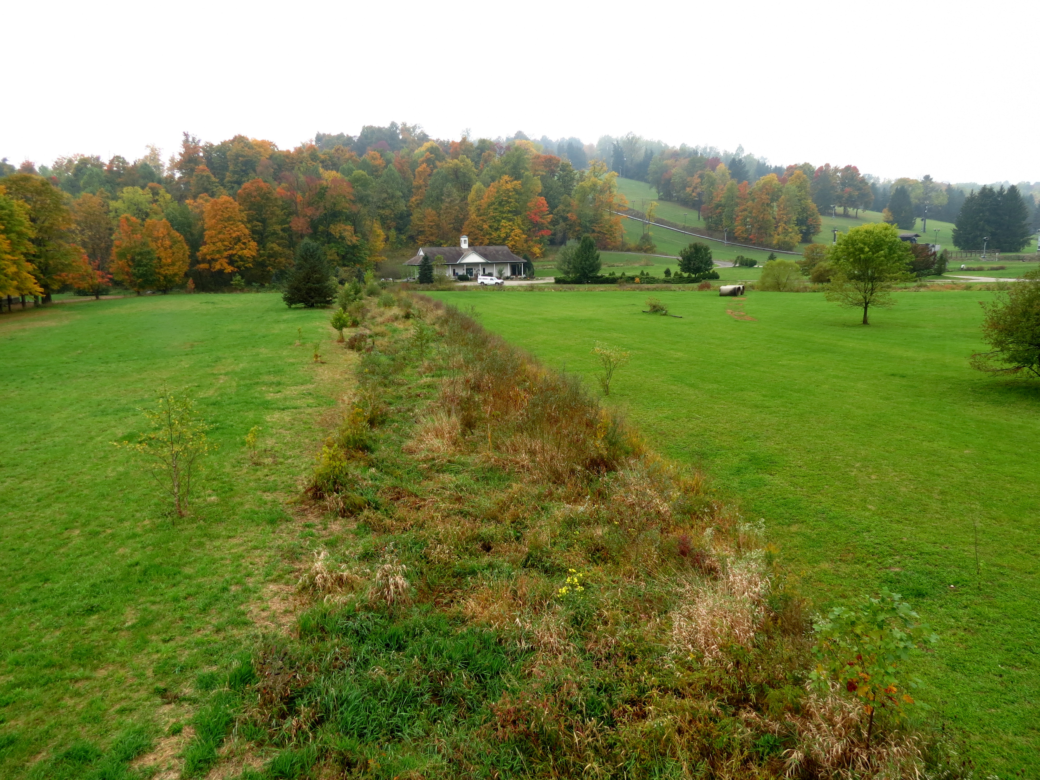
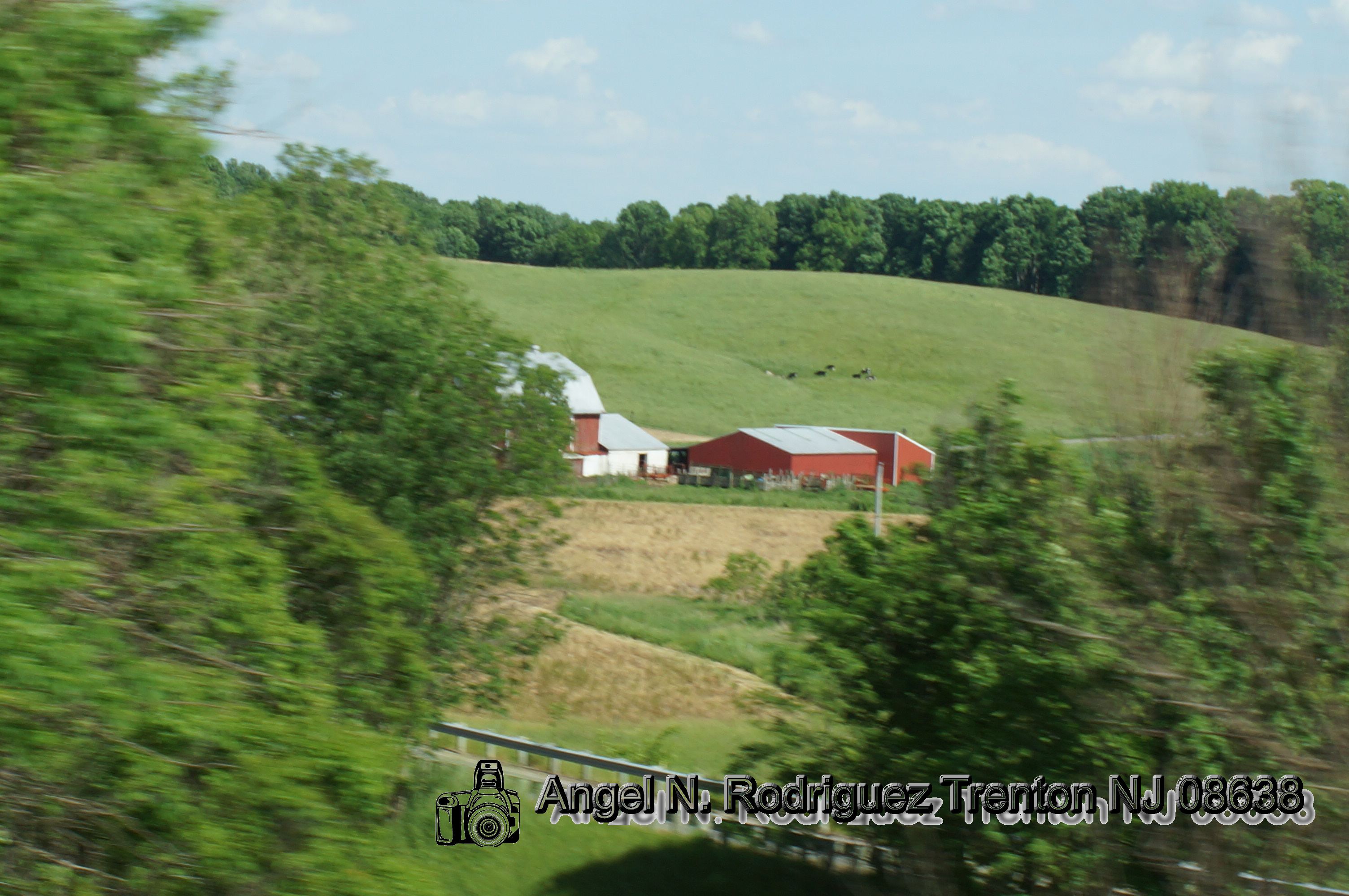
The Farm
IMAGE_1A479FD2-6BF4-4BD5-8A29-4EA1E69331EC.JPG

Thanksgivings, Joy, Blessings

hemlock falls
Cross-Country Road Trip
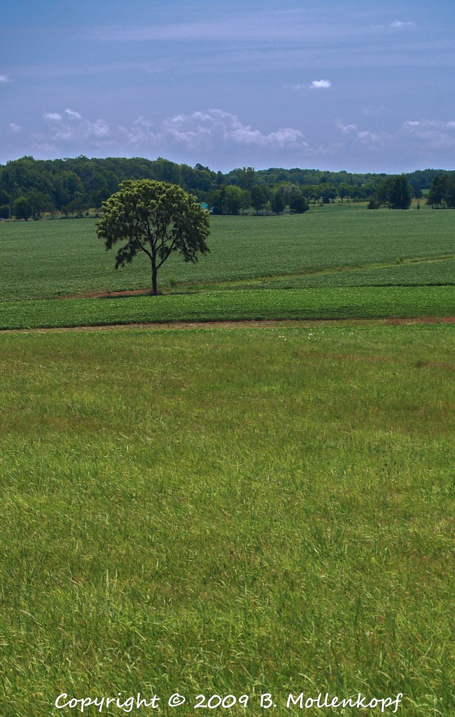
Lone Tree
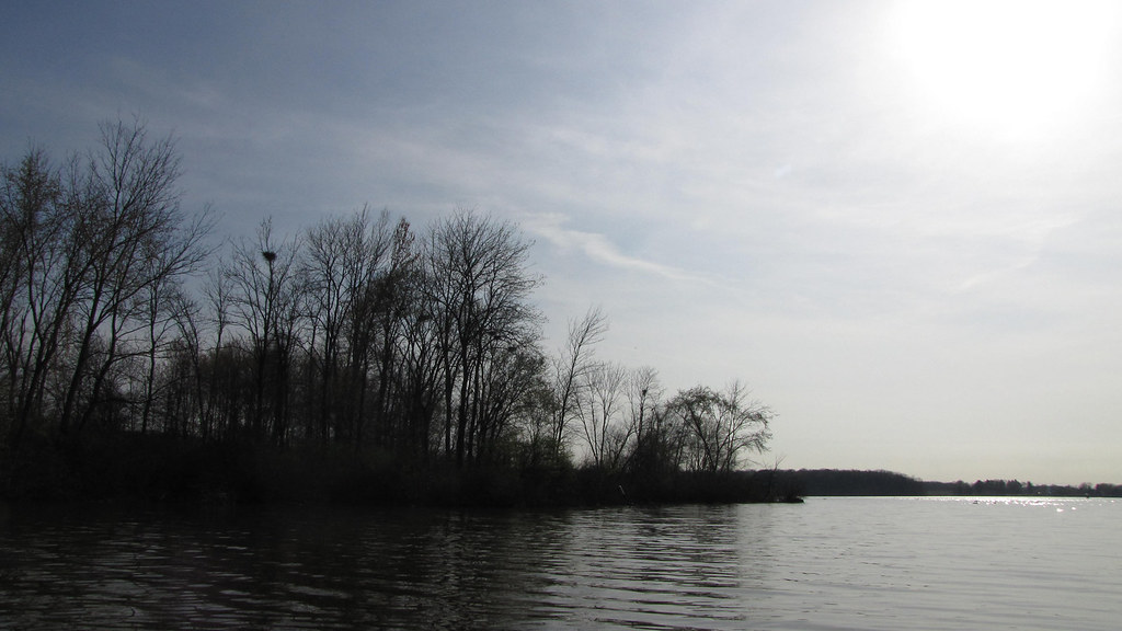
Bird Island
Year 5 2012-10-05 (a)

Trees at Camp
Cross-Country Road Trip

6 5 2016 (166)
6 5 2016 (176)
6 5 2016 (187)
Topographic Map of Zolman Rd, Fredericktown, OH, USA
Find elevation by address:

Places near Zolman Rd, Fredericktown, OH, USA:
Berlin Township
Woodview Ln, Fredericktown, OH, USA
349 Bollinger Rd
Fredericktown, OH, USA
Fredericktown
8 Summit Dr
Love Road
19060 Love Rd
19200 Love Rd
19160 Love Rd
19064 Love Rd
Fredericktown Amity Road
Dill Rd, Bellville, OH, USA
Morris Township
7635 Armstrong Rd
Butler
Ohio 97
Nunda Rd, Butler, OH, USA
24 Glenridge Cir
Brown Township
Recent Searches:
- Elevation of Bernina Dr, Lake Arrowhead, CA, USA
- Elevation of N 82nd Pl, Mesa, AZ, USA
- Elevation of Snake Hill Rd, North Scituate, RI, USA
- Elevation of Lake Shore Dr, Warwick, RI, USA
- Elevation of E Brightview Ave, Pittsburgh, PA, USA
- Elevation of Cavendish Rd, Harringay Ladder, London N4 1RR, UK
- Elevation of 1 Zion Park Blvd, Springdale, UT, USA
- Elevation of Ganderbal
- Elevation map of Konkan Division, Maharashtra, India
- Elevation of Netaji Nagar, Hallow Pul, Kurla, Mumbai, Maharashtra, India