Elevation of Level Plains, AL, USA
Location: United States > Alabama > Dale County >
Longitude: -85.777991
Latitude: 31.2996162
Elevation: 97m / 318feet
Barometric Pressure: 100KPa
Elevation Map:
Satellite Map:
Related Photos:

Storage Building 6008 - Fort Rucker

Five Hueys - Fort Rucker

UH-1 Huey line-up - Fort Rucker
ACL 248
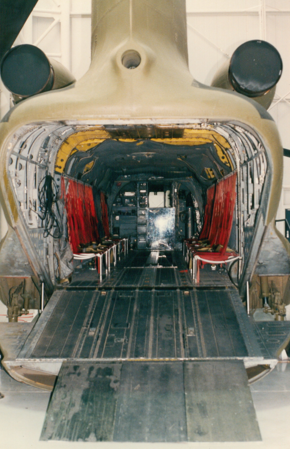
CH-47A

IMG_4936.JPG

IMG_4935.JPG

Streetside view
Partly Cloudy
Partly Cloudy

Cotton field back home

Partly Cloudy
Topographic Map of Level Plains, AL, USA
Find elevation by address:

Places near Level Plains, AL, USA:
55 Oak Lake Dr
Lowe Dr, Enterprise, AL, USA
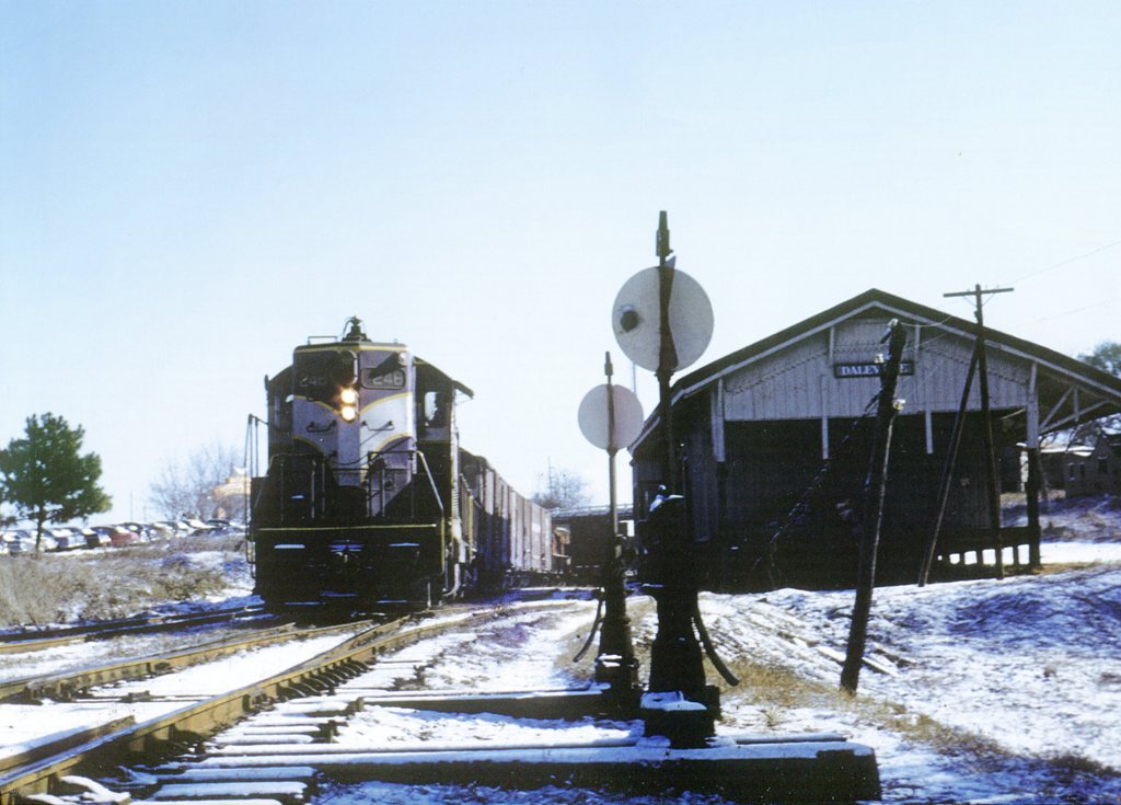
Daleville
Daleville Ave, Daleville, AL, USA
20 Ferguson Ln
Fort Rucker
Hanchey Field Rd, Daleville, AL, USA
County Road 31
Newton
Wildwood Ct, Ozark, AL, USA
Dale County
Waterford Rd, Newton, AL, USA
627 Matthews Ave
Ozark
Ranah Dr, Midland City, AL, USA
756 Johntown Rd
Co Rd 20, Ozark, AL, USA
S Co Rd, Midland City, AL, USA
Midland City
3792 Mance Newton Rd
Recent Searches:
- Elevation of Congressional Dr, Stevensville, MD, USA
- Elevation of Bellview Rd, McLean, VA, USA
- Elevation of Stage Island Rd, Chatham, MA, USA
- Elevation of Shibuya Scramble Crossing, 21 Udagawacho, Shibuya City, Tokyo -, Japan
- Elevation of Jadagoniai, Kaunas District Municipality, Lithuania
- Elevation of Pagonija rock, Kranto 7-oji g. 8"N, Kaunas, Lithuania
- Elevation of Co Rd 87, Jamestown, CO, USA
- Elevation of Tenjo, Cundinamarca, Colombia
- Elevation of Côte-des-Neiges, Montreal, QC H4A 3J6, Canada
- Elevation of Bobcat Dr, Helena, MT, USA