Elevation of Wildwood Ct, Ozark, AL, USA
Location: United States > Alabama > Dale County > Ozark >
Longitude: -85.623201
Latitude: 31.393671
Elevation: 90m / 295feet
Barometric Pressure: 100KPa
Elevation Map:
Satellite Map:
Related Photos:

Five Hueys - Fort Rucker
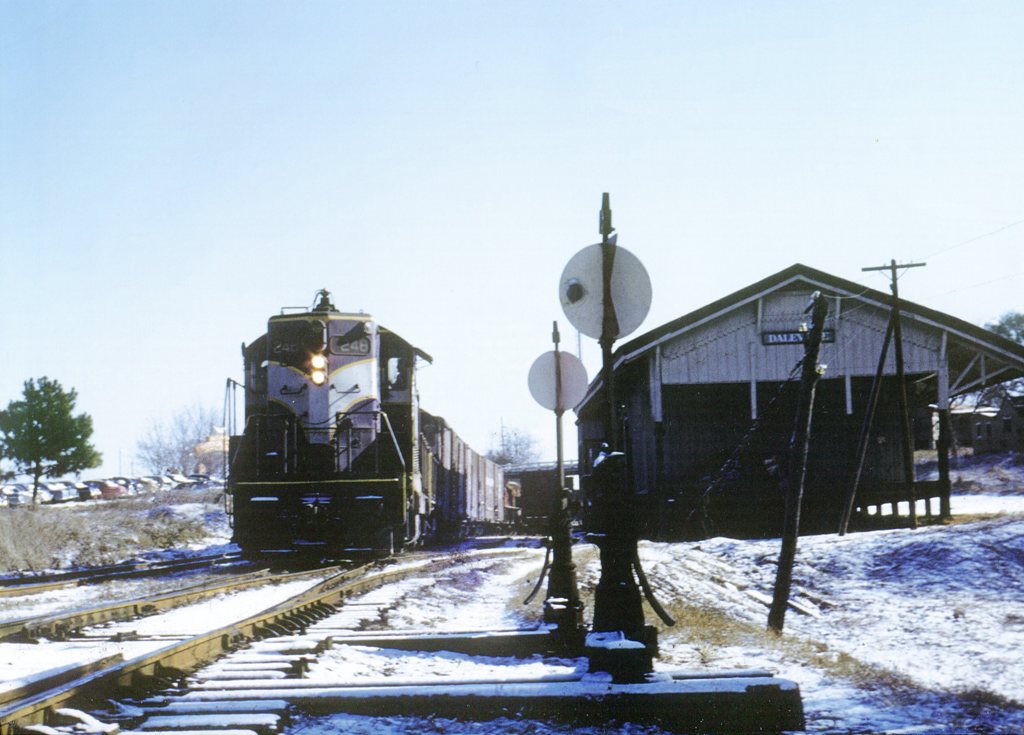
ACL 248

Storage Building 6008 - Fort Rucker

UH-1 Huey line-up - Fort Rucker
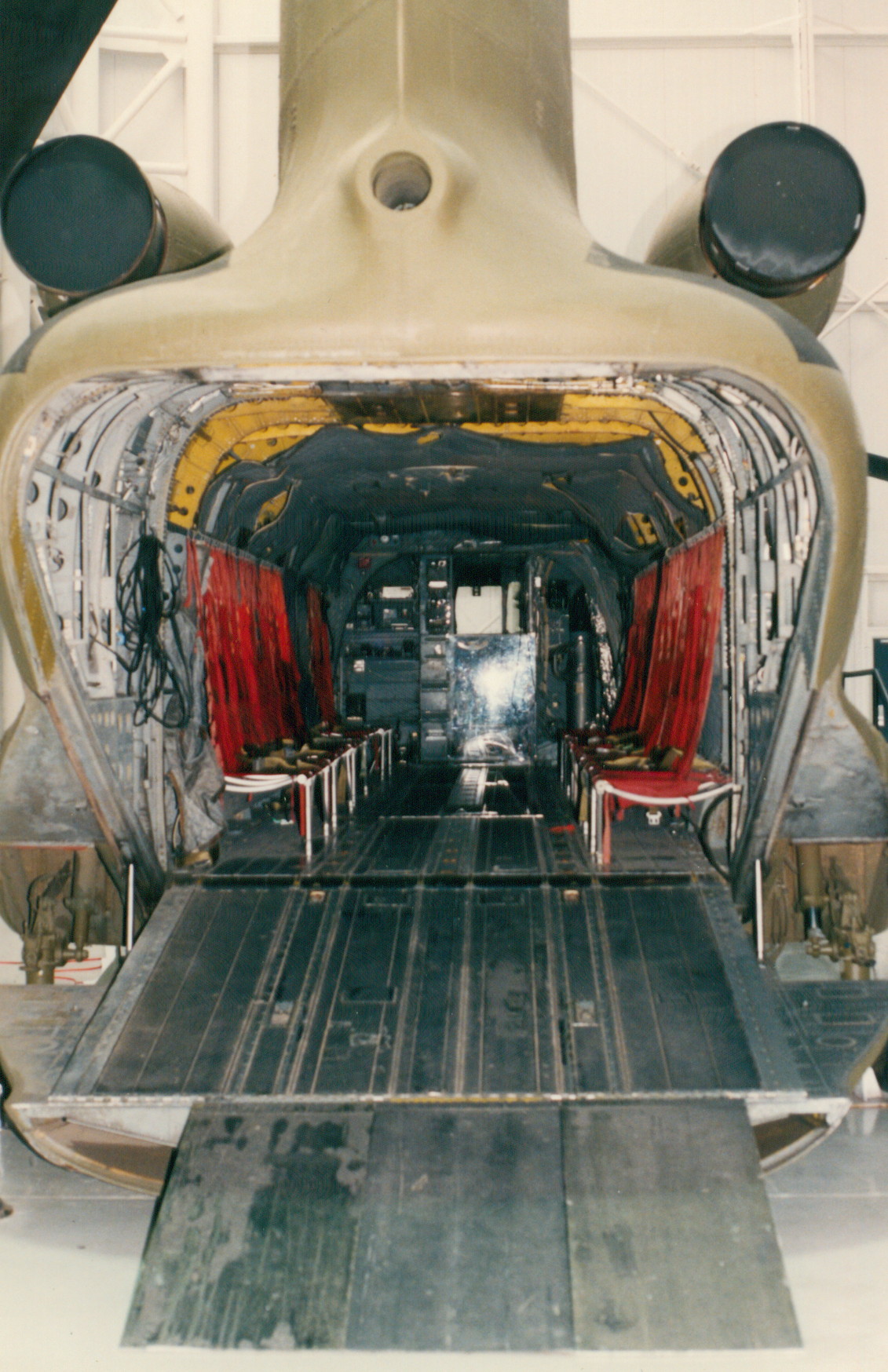
CH-47A

IMG_4936.JPG

IMG_4935.JPG
Ozark/Fort Rucker KOA

Ozark/Fort Rucker KOA

Pink Cloud Sunrise 12.19.13

Termite Log

Alabama Shaded Sun
Topographic Map of Wildwood Ct, Ozark, AL, USA
Find elevation by address:

Places near Wildwood Ct, Ozark, AL, USA:
Waterford Rd, Newton, AL, USA
627 Matthews Ave
756 Johntown Rd
Co Rd 20, Ozark, AL, USA
Newton
Ozark
Hanchey Field Rd, Daleville, AL, USA
Dale County
County Road 31
S Co Rd, Midland City, AL, USA
Fort Rucker
20 Ferguson Ln
Ranah Dr, Midland City, AL, USA
Daleville Ave, Daleville, AL, USA
Daleville
Midland City
372 Co Rd 61
Lowe Dr, Enterprise, AL, USA
55 Oak Lake Dr
S County Rd 67, Midland City, AL, USA
Recent Searches:
- Elevation of Corso Fratelli Cairoli, 35, Macerata MC, Italy
- Elevation of Tallevast Rd, Sarasota, FL, USA
- Elevation of 4th St E, Sonoma, CA, USA
- Elevation of Black Hollow Rd, Pennsdale, PA, USA
- Elevation of Oakland Ave, Williamsport, PA, USA
- Elevation of Pedrógão Grande, Portugal
- Elevation of Klee Dr, Martinsburg, WV, USA
- Elevation of Via Roma, Pieranica CR, Italy
- Elevation of Tavkvetili Mountain, Georgia
- Elevation of Hartfords Bluff Cir, Mt Pleasant, SC, USA