Elevation of Lena, LA, USA
Location: United States > Louisiana > Rapides Parish > E >
Longitude: -92.770707
Latitude: 31.4607299
Elevation: 41m / 135feet
Barometric Pressure: 101KPa
Elevation Map:
Satellite Map:
Related Photos:
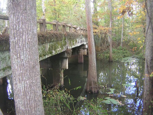
Aloha Bridge- Side View
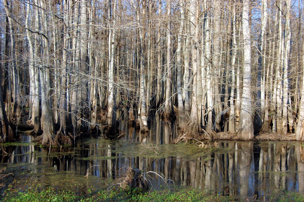
Cypress Trees and Swamp
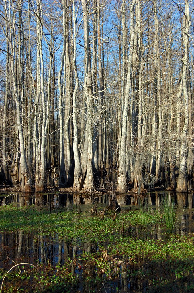
Cypress Trees and Swamp

Little Eva Plantation Herd
On the road to New Orleans

Postcard from the road. Visiting an old college buddy, haven't seen since 78.

Bayou mikveh

Double-J photographer

Bright Eyes.
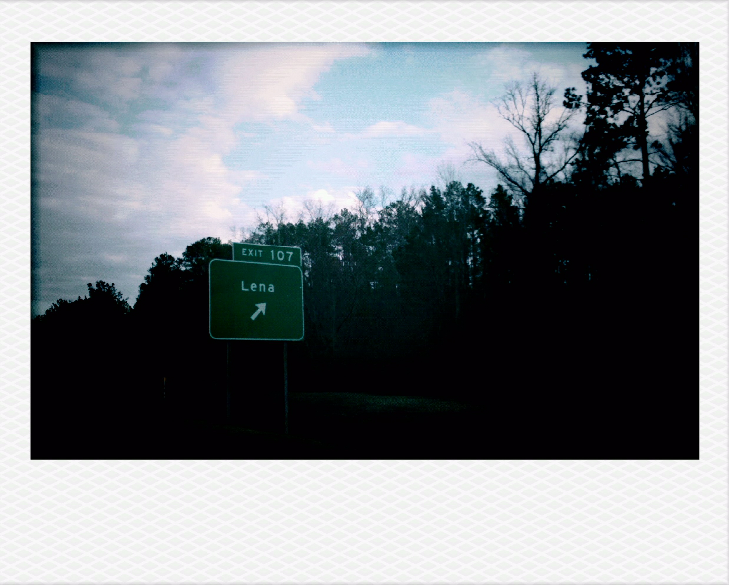
Lena, LA.
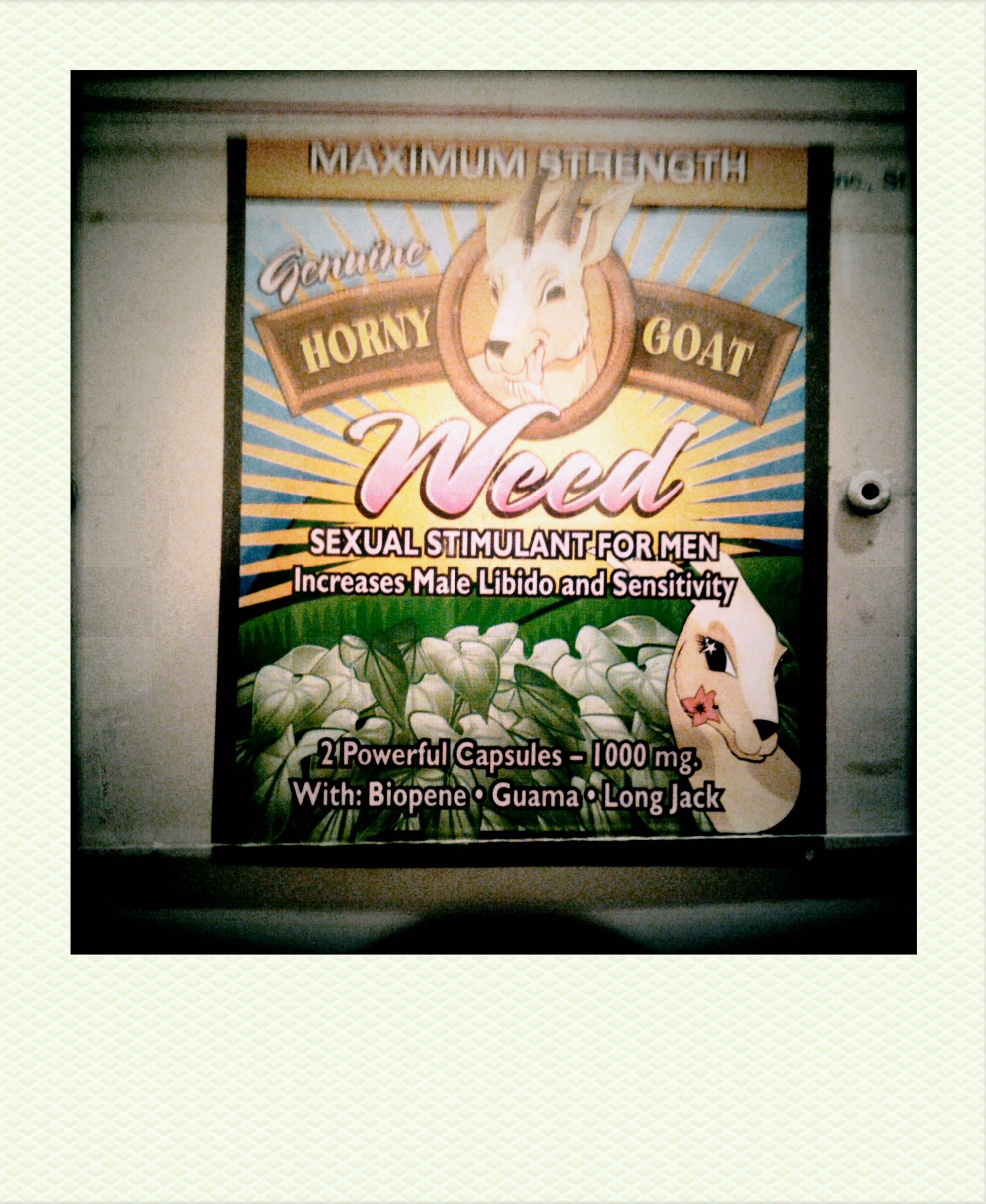
Horny Goat Weed
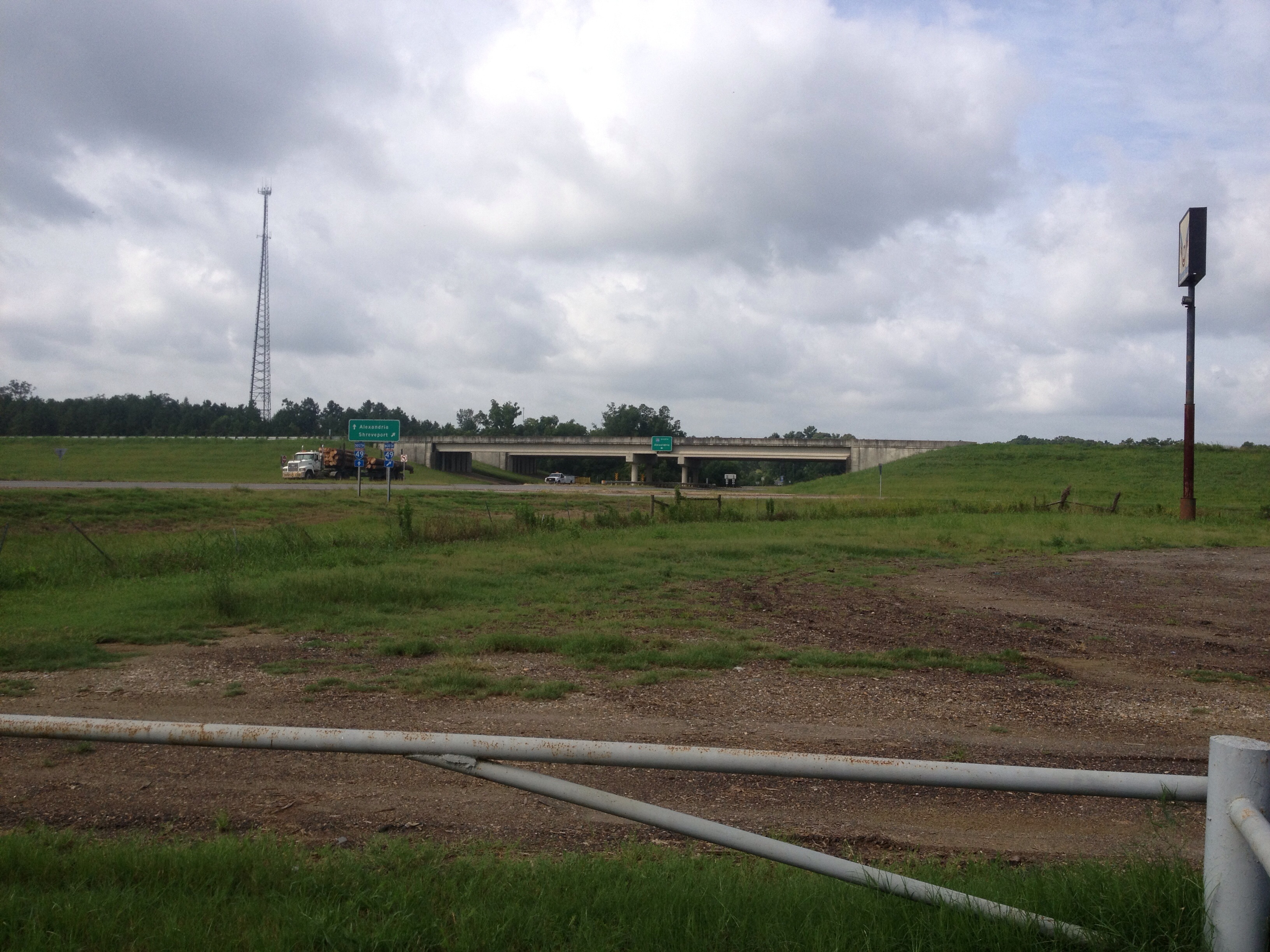
Rapides 07

Merry Christmas ♥

Albert Chenault
Topographic Map of Lena, LA, USA
Find elevation by address:

Places in Lena, LA, USA:
29 Rock Quarry Rd, Lena, LA, USA
10 Red Bayou Rd, Lena, LA, USA
Lena, LA, USA
19 Campbell Creek Rd, Lena, LA, USA
Places near Lena, LA, USA:
Lena, LA, USA
29 Rock Quarry Rd, Lena, LA, USA
19 Campbell Creek Rd, Lena, LA, USA
10 Red Bayou Rd, Lena, LA, USA
8th St, Colfax, LA, USA
LA-8, Colfax, LA, USA
4422 Us-71
4418 Us-71
4418 Us-71
805 Stewart St
4424 Us-71
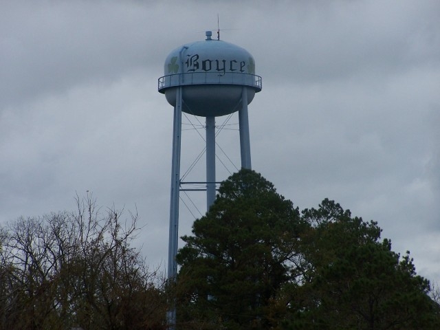
Boyce
3052 Hoyt Rd
2, LA, USA
1144 Pin Oak Dr
1142 Pin Oak Dr
1142 Pin Oak Dr
1142 Pin Oak Dr
1140 Pin Oak Dr
1128 Pin Oak Dr
Recent Searches:
- Elevation of Corso Fratelli Cairoli, 35, Macerata MC, Italy
- Elevation of Tallevast Rd, Sarasota, FL, USA
- Elevation of 4th St E, Sonoma, CA, USA
- Elevation of Black Hollow Rd, Pennsdale, PA, USA
- Elevation of Oakland Ave, Williamsport, PA, USA
- Elevation of Pedrógão Grande, Portugal
- Elevation of Klee Dr, Martinsburg, WV, USA
- Elevation of Via Roma, Pieranica CR, Italy
- Elevation of Tavkvetili Mountain, Georgia
- Elevation of Hartfords Bluff Cir, Mt Pleasant, SC, USA