Elevation of 19 Campbell Creek Rd, Lena, LA, USA
Location: United States > Louisiana > Rapides Parish > E > Lena >
Longitude: -92.794169
Latitude: 31.400413
Elevation: 39m / 128feet
Barometric Pressure: 101KPa
Elevation Map:
Satellite Map:
Related Photos:
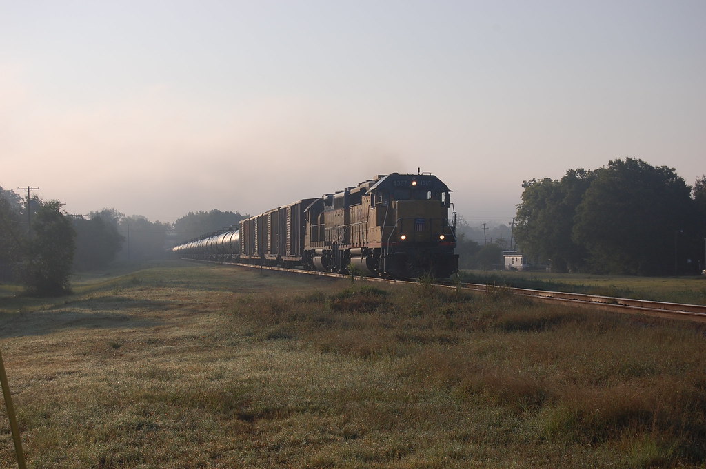
UP 1367
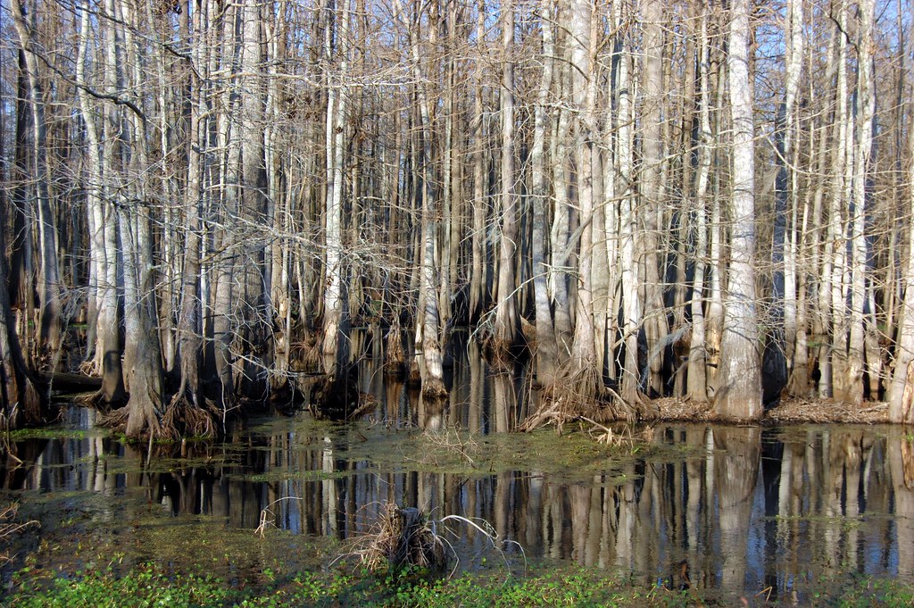
Cypress Trees and Swamp
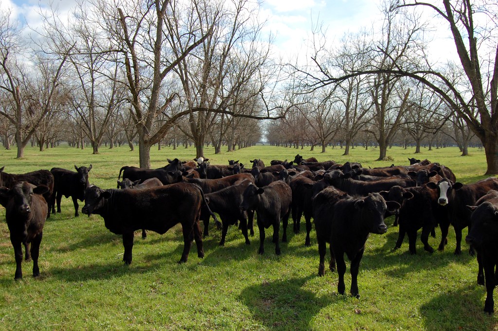
Little Eva Plantation Herd
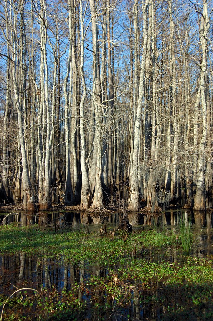
Cypress Trees and Swamp
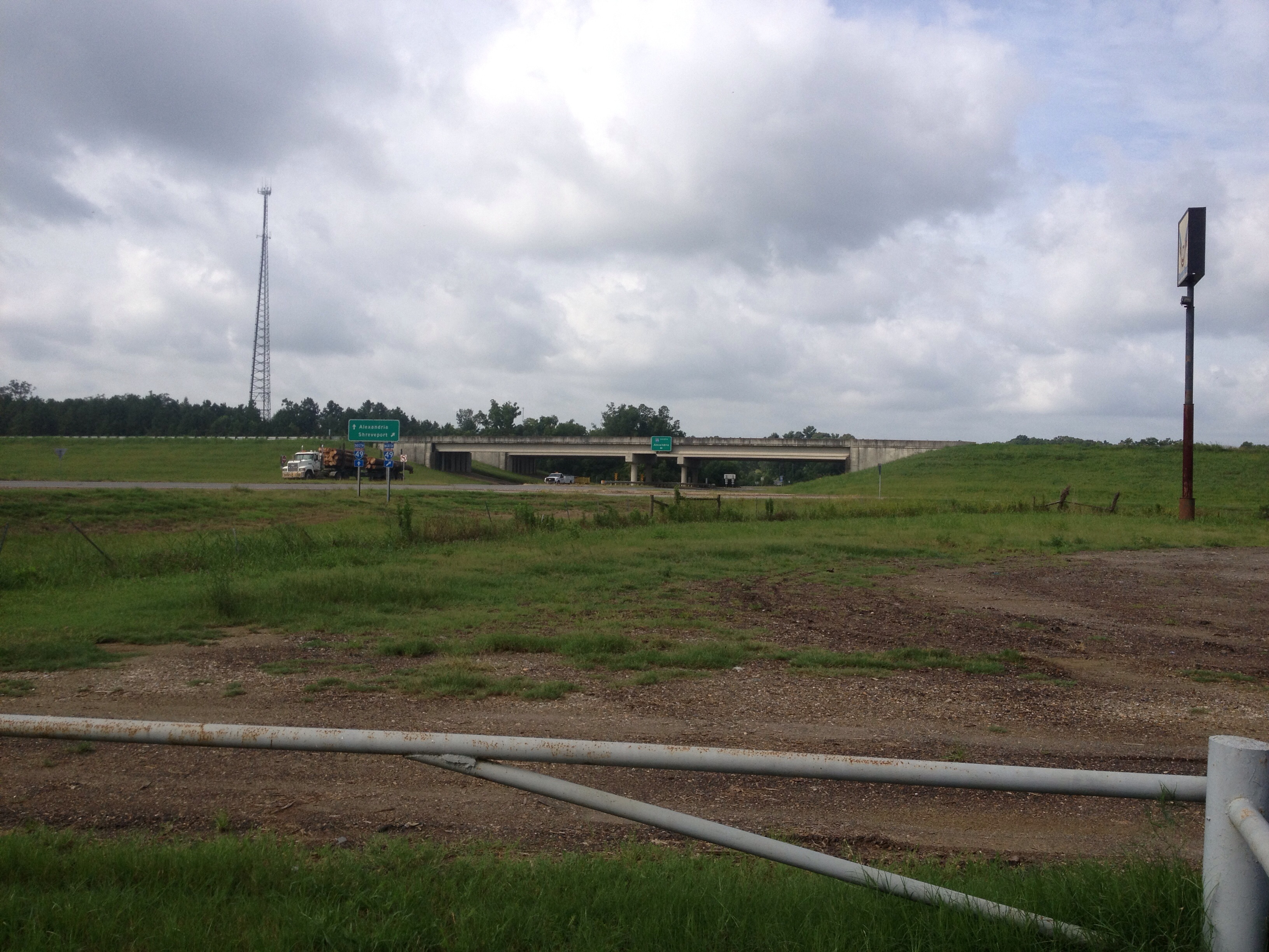
On the road to New Orleans
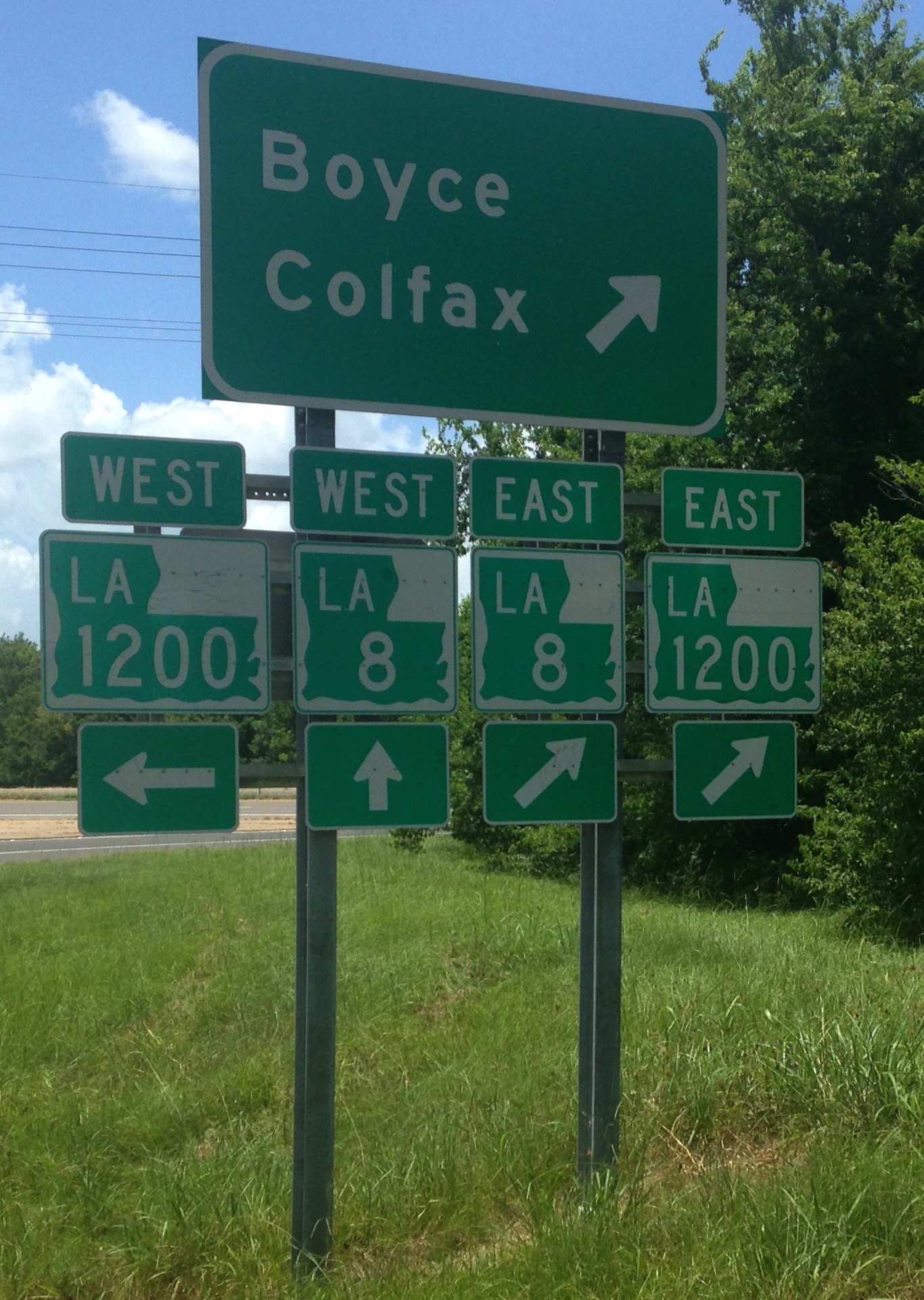
LA 8/1200 Route Signs

Postcard from the road. Visiting an old college buddy, haven't seen since 78.

Double-J photographer

Bright Eyes.
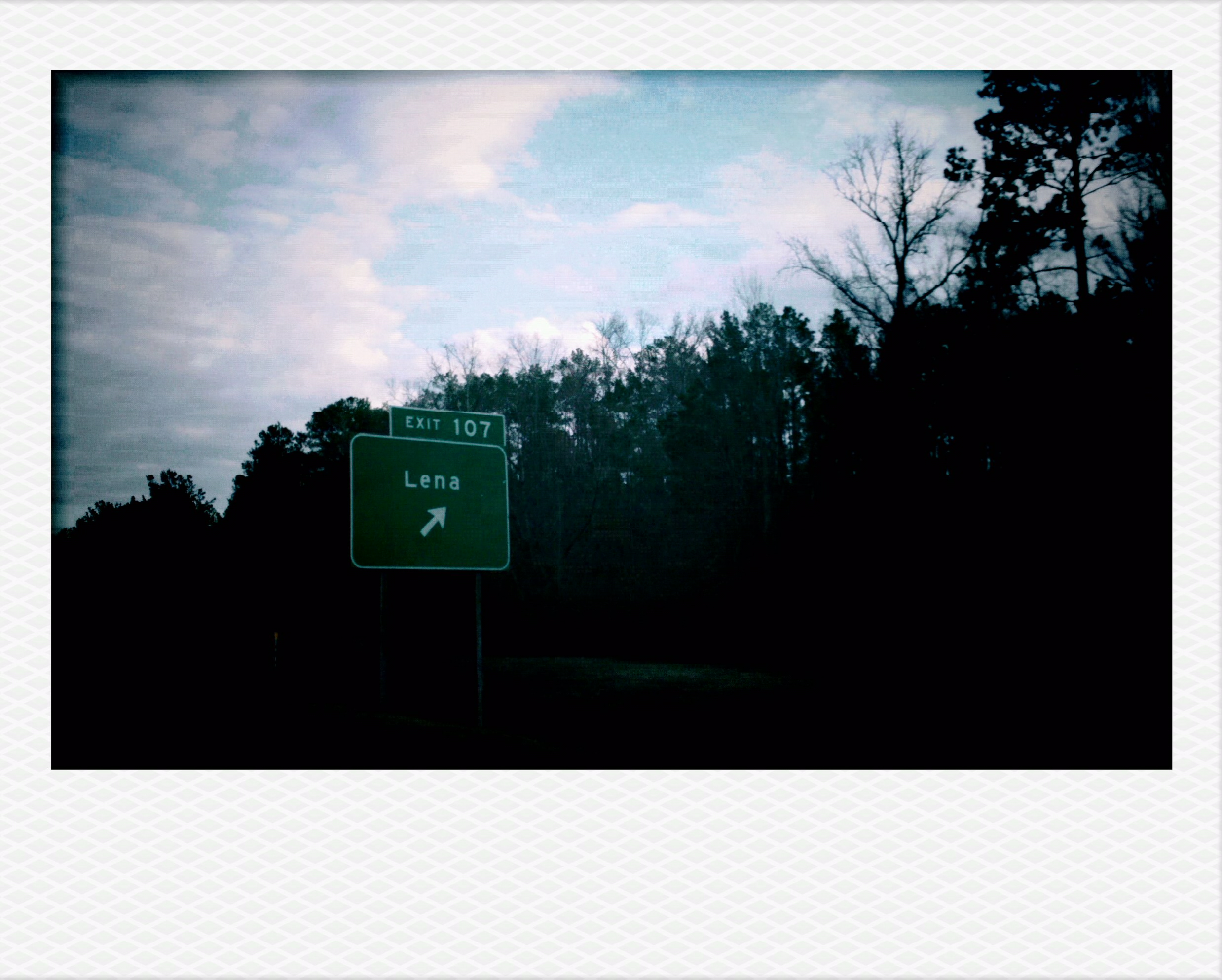
Lena, LA.
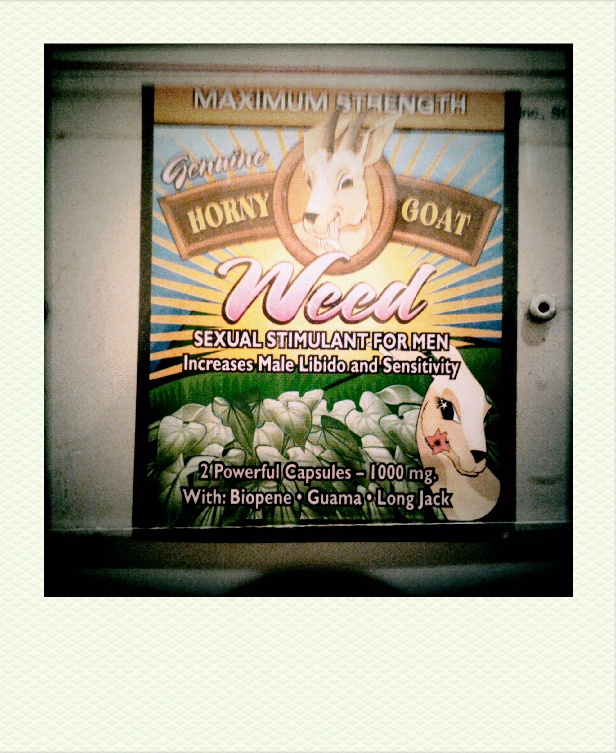
Horny Goat Weed
Rapides 07

Merry Christmas ♥

Albert Chenault
Topographic Map of 19 Campbell Creek Rd, Lena, LA, USA
Find elevation by address:

Places near 19 Campbell Creek Rd, Lena, LA, USA:
Lena, LA, USA
Lena
29 Rock Quarry Rd, Lena, LA, USA
3052 Hoyt Rd
10 Red Bayou Rd, Lena, LA, USA
805 Stewart St
LA-8, Colfax, LA, USA
Boyce
8th St, Colfax, LA, USA
Ian Johnson Rd, Otis, LA, USA
LA-, Boyce, LA, USA
E
4422 Us-71
4418 Us-71
4418 Us-71
4424 Us-71
Ian Johnson Rd, Sieper, LA, USA
2, LA, USA
167 Grayson Marler Rd
1144 Pin Oak Dr
Recent Searches:
- Elevation of Lalagbene, Bayelsa, Nigeria
- Elevation of Ogbosuware Health Centre, 2WWJ+4PJ, Lalagbene, Bayelsa, Nigeria
- Elevation of Duckhorn Ct, Las Vegas, NV, USA
- Elevation of Garretts Run Rd, Ford City, PA, USA
- Elevation of N WI-55, Freedom, WI, USA
- Elevation map of Hadiya, Ethiopia
- Elevation of Hosaina, Ethiopia
- Elevation of Verde Terrace, North Port, FL, USA
- Elevation of US-, Leesburg, FL, USA
- Elevation of Summit Dr, Kerrville, TX, USA