Elevation of Le Chauvet, Sainte-Luce, France
Location: France > Isere > Sainte-luce >
Longitude: 5.890119
Latitude: 44.851054
Elevation: 1666m / 5466feet
Barometric Pressure: 83KPa
Elevation Map:
Satellite Map:
Related Photos:
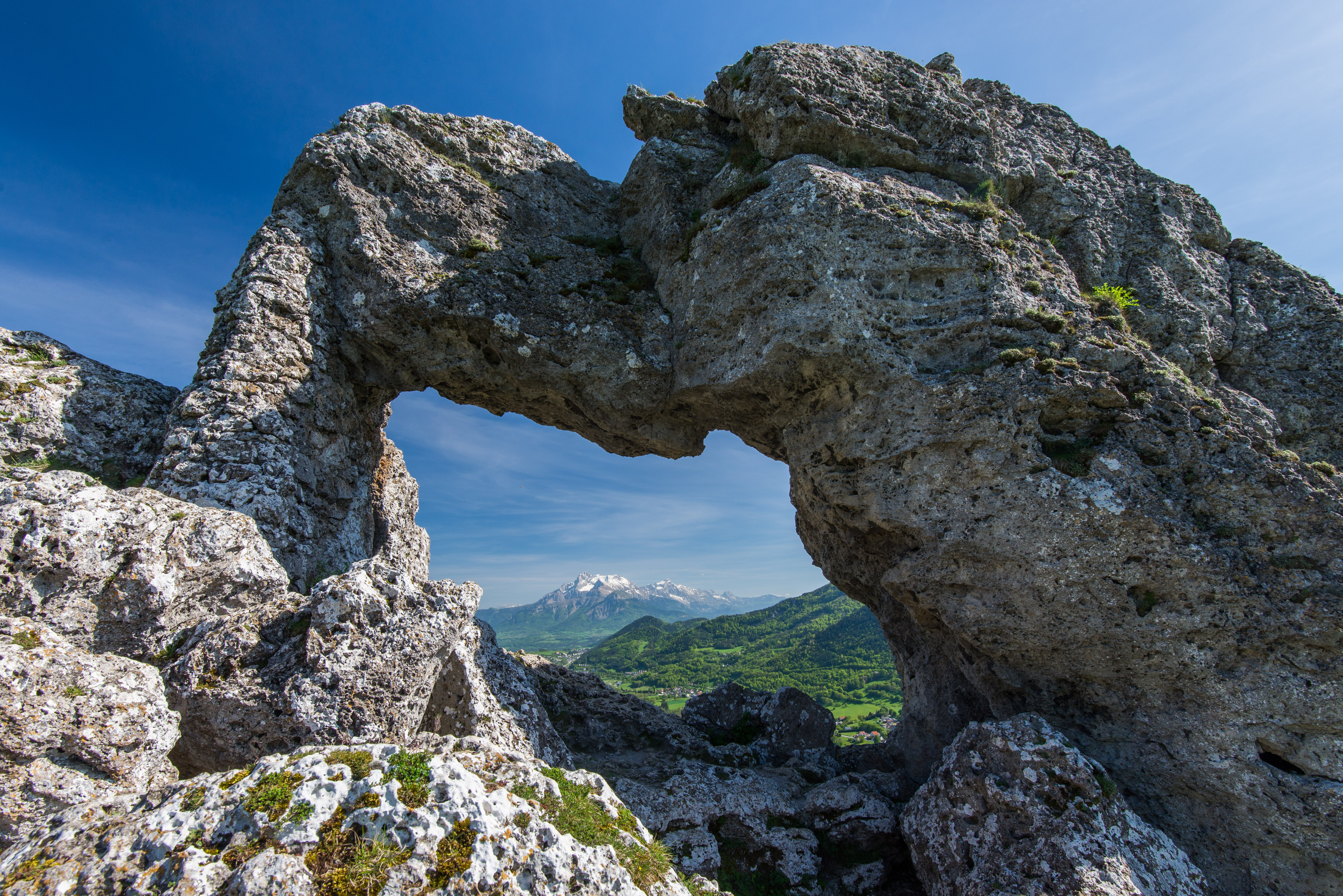
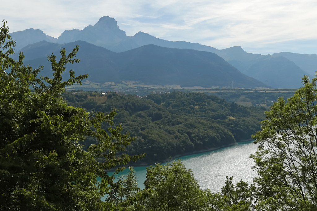
The way to Obiou
Route Napoléon [N85] - Corps (France)

Route Napoléon [N85] - Les Côtes-des-Corps (France)

Lac de Ponsonnas, Isère, France

Lac de Ponsonnas, Isère, France

Les foins près du lac de Ponsonnas, Isère, France 1/4
Topographic Map of Le Chauvet, Sainte-Luce, France
Find elevation by address:

Places near Le Chauvet, Sainte-Luce, France:
Sainte-luce
Sous Belle Roche
Valbonnais
Cordéac
Les Pras
Siévoz
Le Bas Siévoz, Siévoz, France
Entraigues
Gargas
La Valette
51 La Valette, La Valette, France
Rocher Du Lac
Route du Grand Armet, Lavaldens, France
Le Périer
Lavaldens
Isere
10 Les Faures, Chantelouve, France
Lavars
Pont De Brion
4 Chemin du Pré de la Cour, Monteynard, France
Recent Searches:
- Elevation of Corso Fratelli Cairoli, 35, Macerata MC, Italy
- Elevation of Tallevast Rd, Sarasota, FL, USA
- Elevation of 4th St E, Sonoma, CA, USA
- Elevation of Black Hollow Rd, Pennsdale, PA, USA
- Elevation of Oakland Ave, Williamsport, PA, USA
- Elevation of Pedrógão Grande, Portugal
- Elevation of Klee Dr, Martinsburg, WV, USA
- Elevation of Via Roma, Pieranica CR, Italy
- Elevation of Tavkvetili Mountain, Georgia
- Elevation of Hartfords Bluff Cir, Mt Pleasant, SC, USA