Elevation of Gargas, Entraigues, France
Location: France > Isere > Entraigues >
Longitude: 5.9691666
Latitude: 44.865
Elevation: 2113m / 6932feet
Barometric Pressure: 0KPa
Related Photos:
Route Napoléon [N85] - Corps (France)

Route Napoléon [N85] - Les Côtes-des-Corps (France)

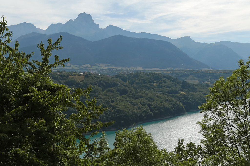
Lac de Ponsonnas, Isère, France

Lac de Ponsonnas, Isère, France

Les foins près du lac de Ponsonnas, Isère, France 1/4

Day 4 (f): Refuge de la Muzelle
Topographic Map of Gargas, Entraigues, France
Find elevation by address:

Places near Gargas, Entraigues, France:
Entraigues
Sainte-luce
Le Périer
Valbonnais
Sous Belle Roche
Le Chauvet
Rocher Du Lac
Les Pras
10 Les Faures, Chantelouve, France
Siévoz
Cordéac
Isere
Le Bas Siévoz, Siévoz, France
51 La Valette, La Valette, France
La Valette
Route du Grand Armet, Lavaldens, France
Lavaldens
4 Chemin du Pré de la Cour, Monteynard, France
Monteynard
Lavars
Recent Searches:
- Elevation map of Greenland, Greenland
- Elevation of Sullivan Hill, New York, New York, 10002, USA
- Elevation of Morehead Road, Withrow Downs, Charlotte, Mecklenburg County, North Carolina, 28262, USA
- Elevation of 2800, Morehead Road, Withrow Downs, Charlotte, Mecklenburg County, North Carolina, 28262, USA
- Elevation of Yangbi Yi Autonomous County, Yunnan, China
- Elevation of Pingpo, Yangbi Yi Autonomous County, Yunnan, China
- Elevation of Mount Malong, Pingpo, Yangbi Yi Autonomous County, Yunnan, China
- Elevation map of Yongping County, Yunnan, China
- Elevation of North 8th Street, Palatka, Putnam County, Florida, 32177, USA
- Elevation of 107, Big Apple Road, East Palatka, Putnam County, Florida, 32131, USA
- Elevation of Jiezi, Chongzhou City, Sichuan, China
- Elevation of Chongzhou City, Sichuan, China
- Elevation of Huaiyuan, Chongzhou City, Sichuan, China
- Elevation of Qingxia, Chengdu, Sichuan, China
- Elevation of Corso Fratelli Cairoli, 35, Macerata MC, Italy
- Elevation of Tallevast Rd, Sarasota, FL, USA
- Elevation of 4th St E, Sonoma, CA, USA
- Elevation of Black Hollow Rd, Pennsdale, PA, USA
- Elevation of Oakland Ave, Williamsport, PA, USA
- Elevation of Pedrógão Grande, Portugal