Elevation of Lawrence, Miller, MO, USA
Location: United States > Missouri > Lawrence County > Ozark Township >
Longitude: -93.7025888
Latitude: 37.1845493
Elevation: 323m / 1060feet
Barometric Pressure: 0KPa
Related Photos:
.....For Hire
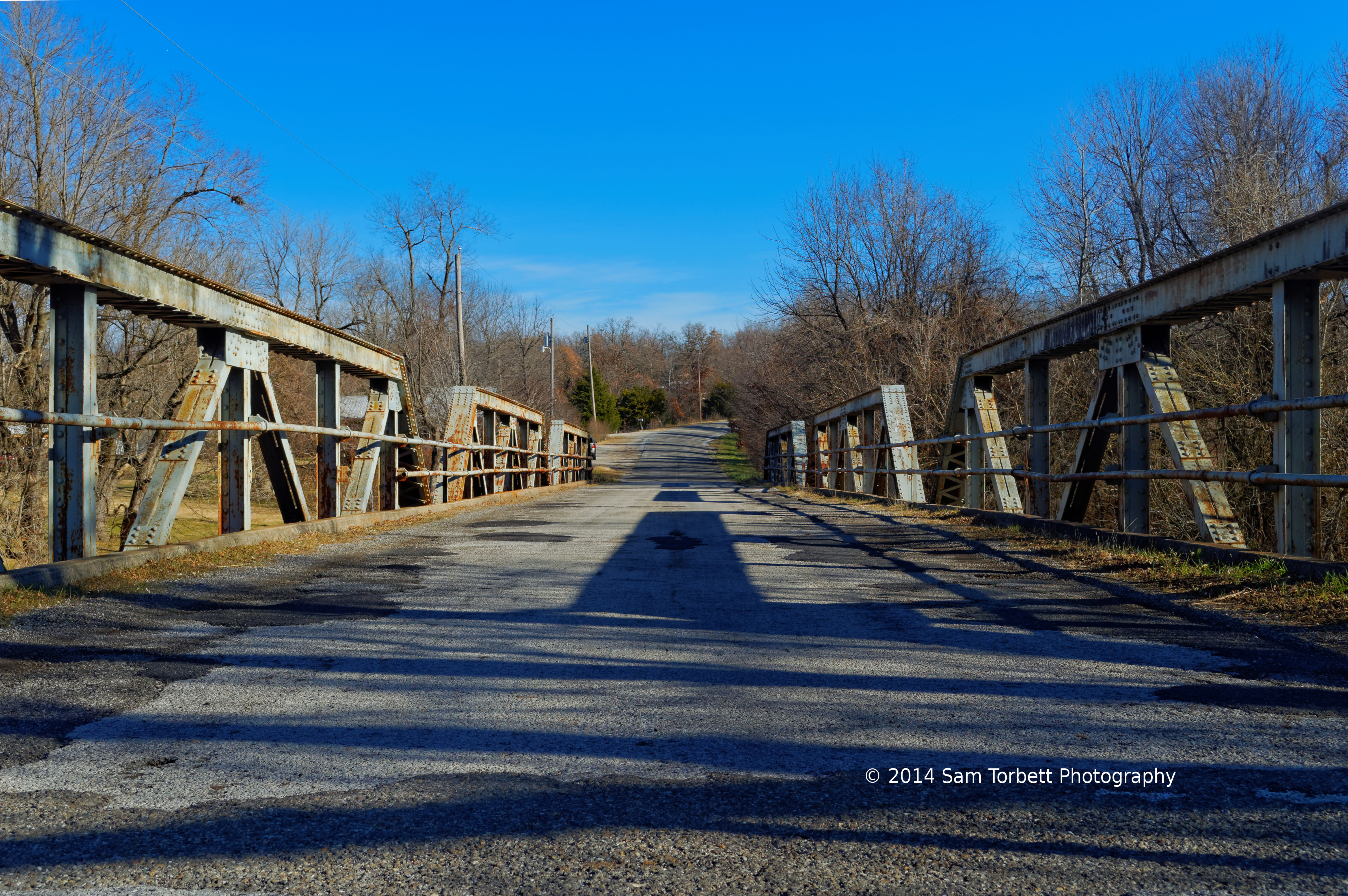
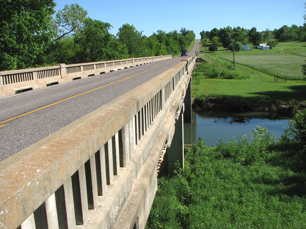
Rt 266 Bridge View #2
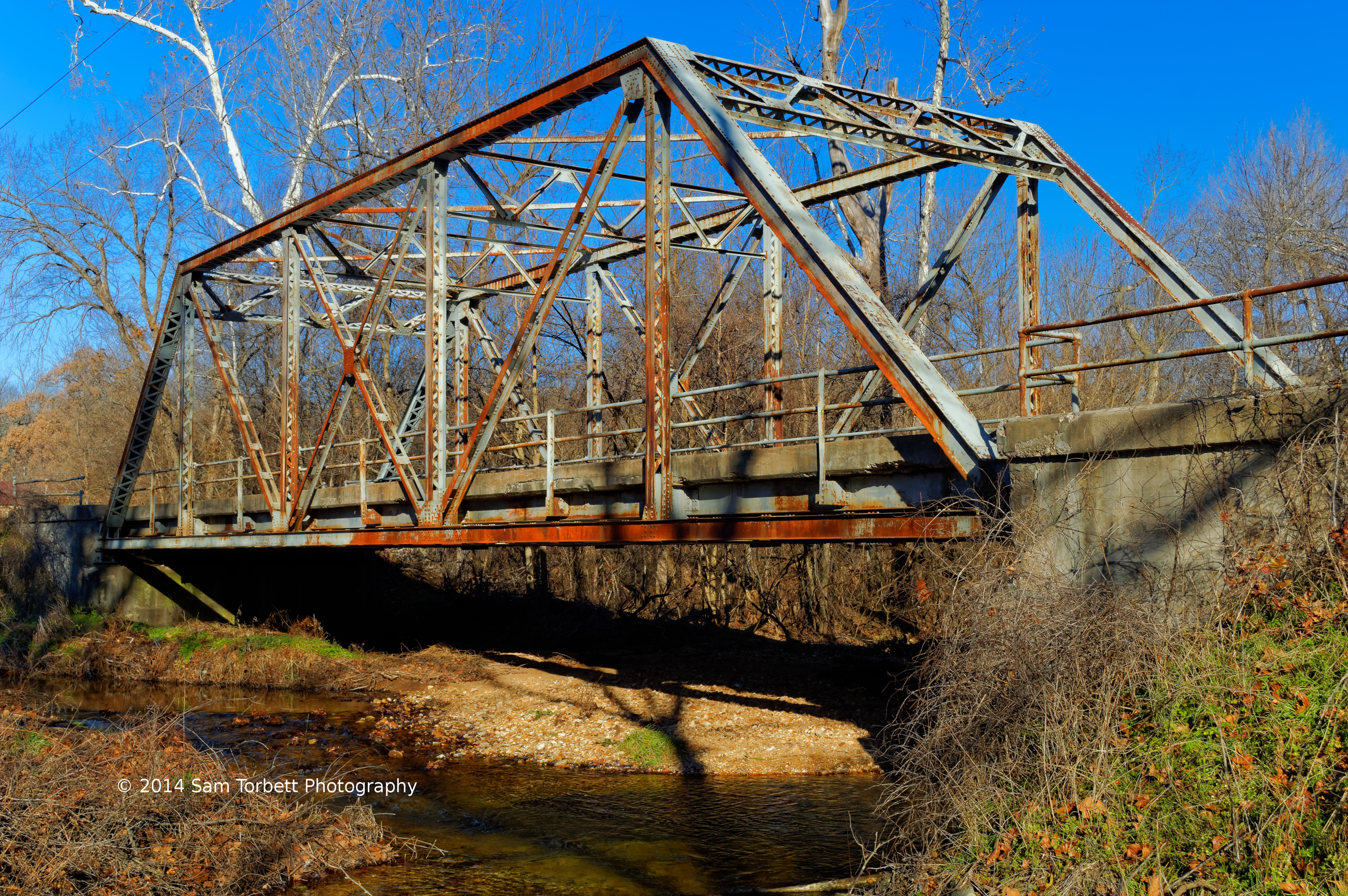
Old Johnson Creek Bridge View #2

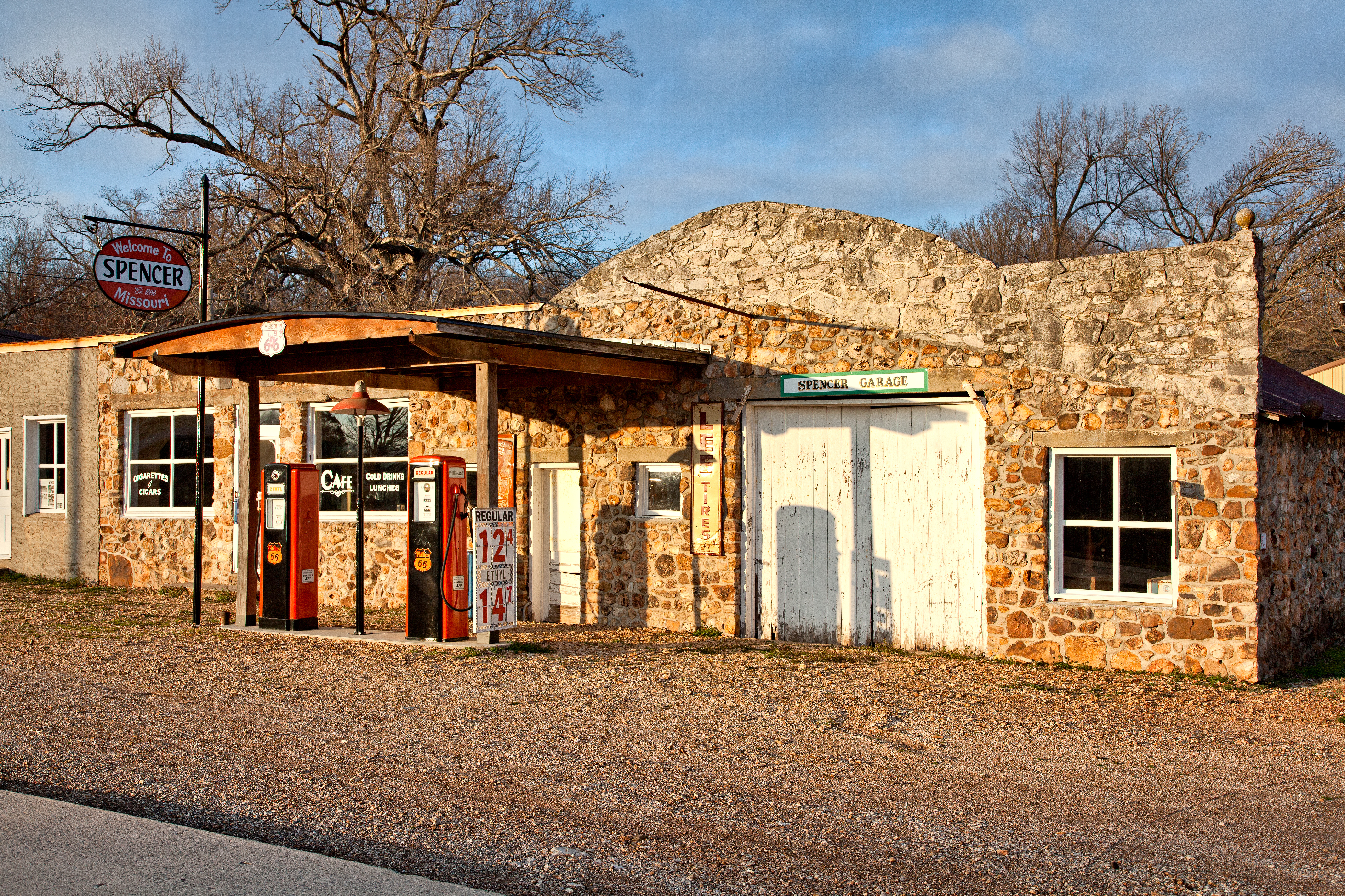
Fill 'er up
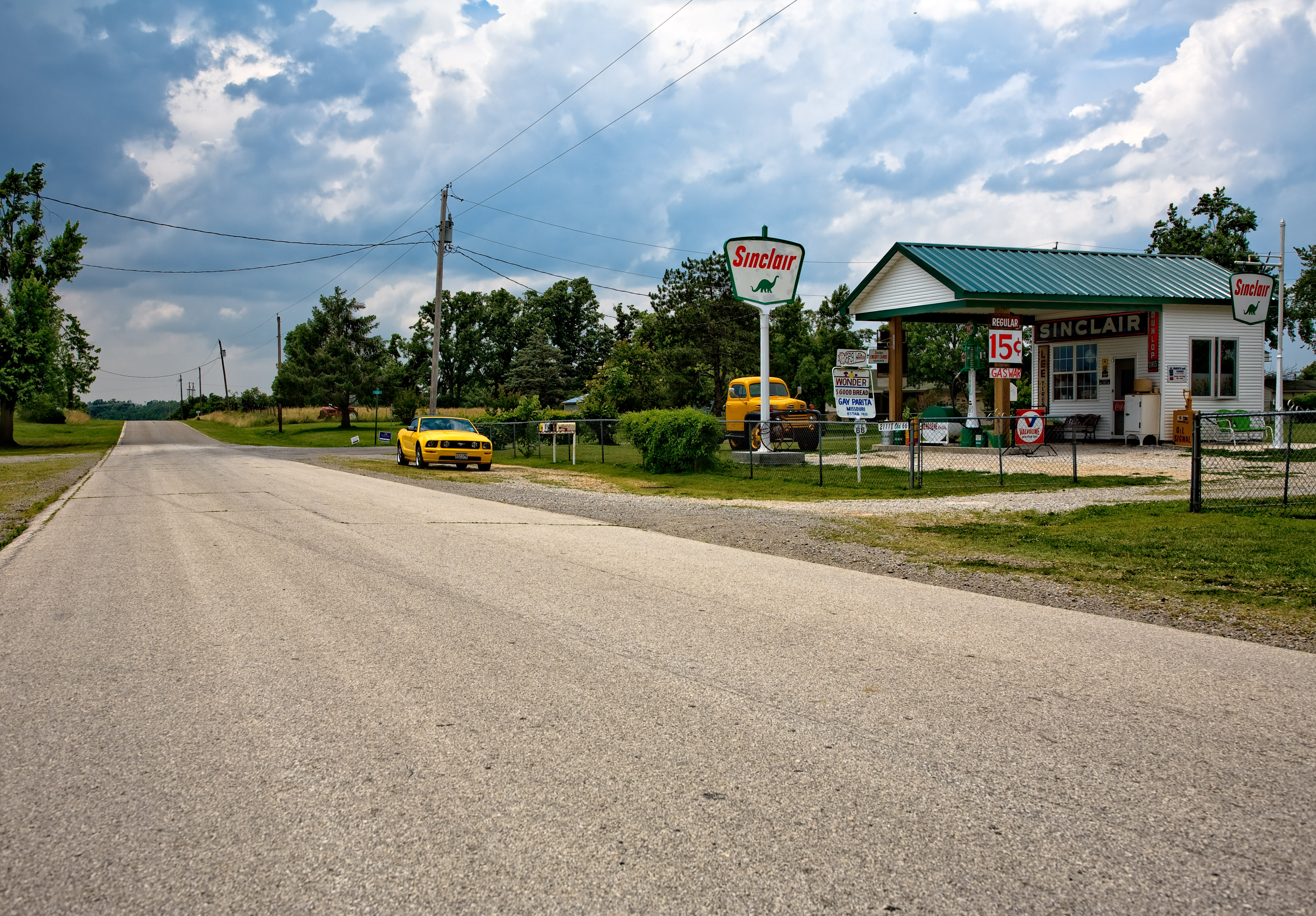
The view out of Paris Springs looking west on old 66
Deck View-Branch Sac River
Side View-Branch Sac River
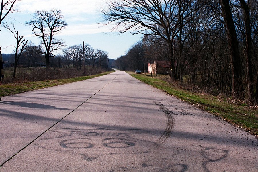
Here's a stretch of old route 66 in Lawrence County that is reasonably intact with the original concrete. Someone has also spray-painted a crude 66 emblem onto the concrete.

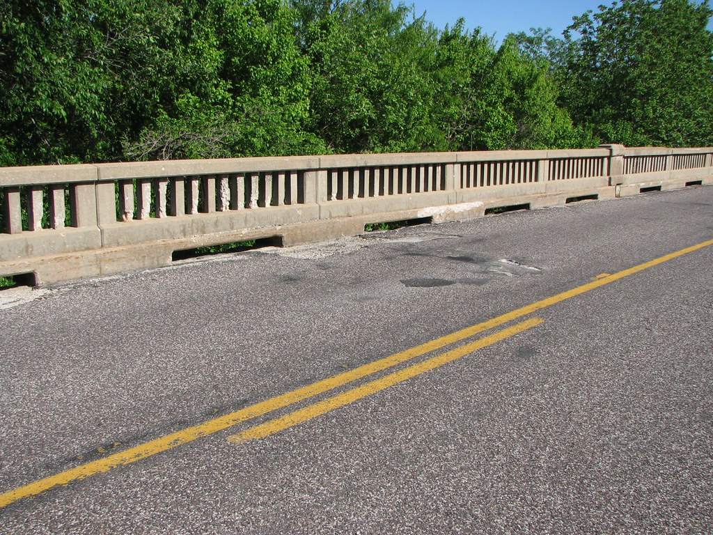
Law 1205 Bridge View #2
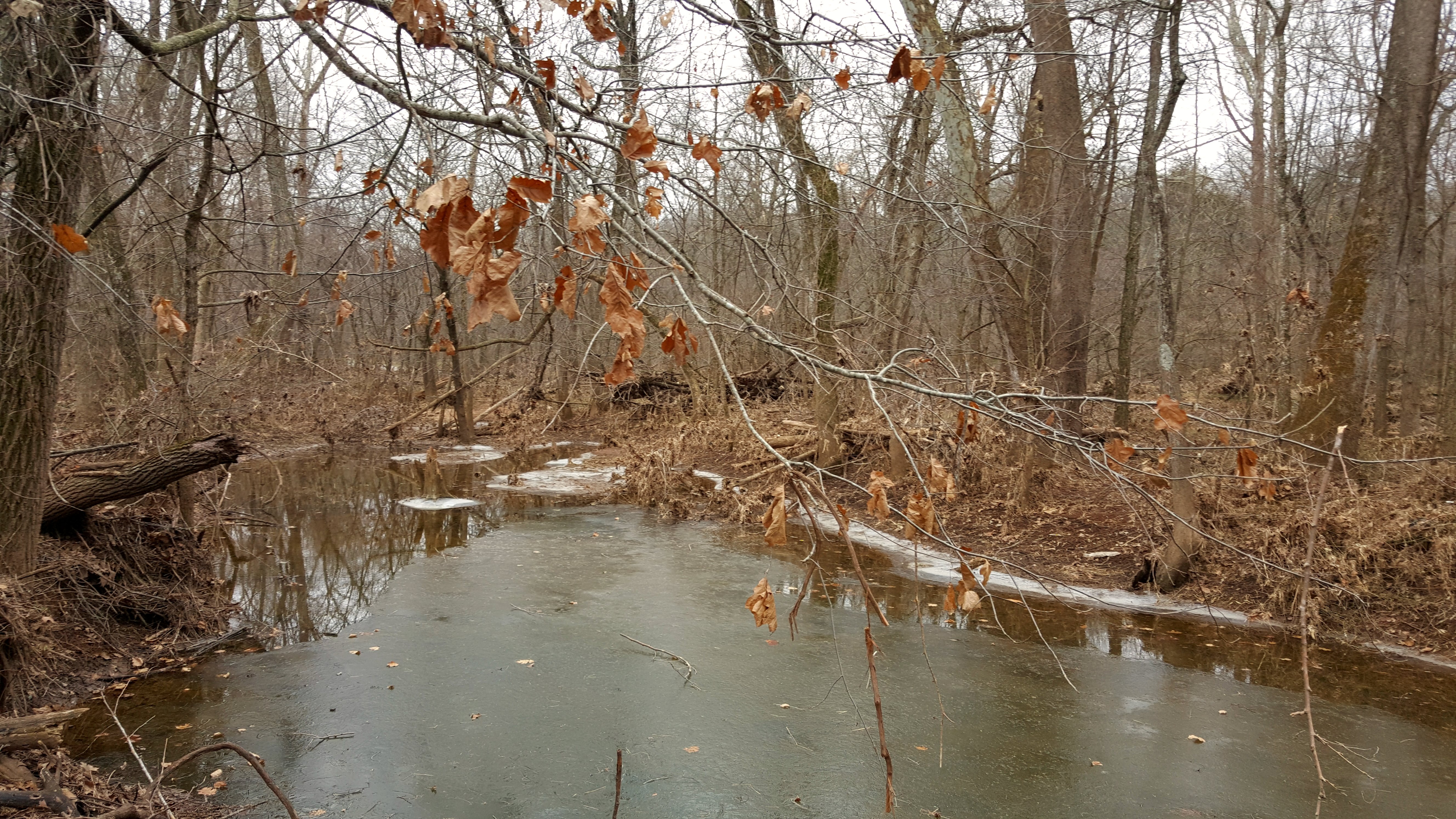
waiting for spring

Old Barn
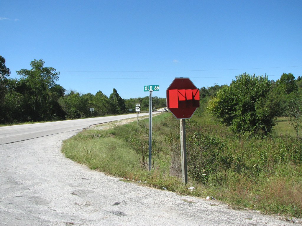
STOP Sign With Glasses?
Topographic Map of Lawrence, Miller, MO, USA
Find elevation by address:

Places near Lawrence, Miller, MO, USA:
Ozark Township
State Hwy Z, Everton, MO, USA
Turnback Township
Rte 66, Miller, MO, USA
Lincoln Township
State Highway T
727 N Oak Arbor Ln
Lawrence County
Miller
S Holmes St, Miller, MO, USA
Center No. 3 Township
Everton
West Polk Township
10896 Lawrence 2120
Aurora Township
Hoberg
1st St, Mt Vernon, MO, USA
Hoberg Township
Buck Prairie Township
NE Elm St, Billings, MO, USA
Recent Searches:
- Elevation of Sullivan Hill, New York, New York, 10002, USA
- Elevation of Morehead Road, Withrow Downs, Charlotte, Mecklenburg County, North Carolina, 28262, USA
- Elevation of 2800, Morehead Road, Withrow Downs, Charlotte, Mecklenburg County, North Carolina, 28262, USA
- Elevation of Yangbi Yi Autonomous County, Yunnan, China
- Elevation of Pingpo, Yangbi Yi Autonomous County, Yunnan, China
- Elevation of Mount Malong, Pingpo, Yangbi Yi Autonomous County, Yunnan, China
- Elevation map of Yongping County, Yunnan, China
- Elevation of North 8th Street, Palatka, Putnam County, Florida, 32177, USA
- Elevation of 107, Big Apple Road, East Palatka, Putnam County, Florida, 32131, USA
- Elevation of Jiezi, Chongzhou City, Sichuan, China
- Elevation of Chongzhou City, Sichuan, China
- Elevation of Huaiyuan, Chongzhou City, Sichuan, China
- Elevation of Qingxia, Chengdu, Sichuan, China
- Elevation of Corso Fratelli Cairoli, 35, Macerata MC, Italy
- Elevation of Tallevast Rd, Sarasota, FL, USA
- Elevation of 4th St E, Sonoma, CA, USA
- Elevation of Black Hollow Rd, Pennsdale, PA, USA
- Elevation of Oakland Ave, Williamsport, PA, USA
- Elevation of Pedrógão Grande, Portugal
- Elevation of Klee Dr, Martinsburg, WV, USA