Elevation of Lawrence County, MO, USA
Location: United States > Missouri >
Longitude: -93.824824
Latitude: 37.1500679
Elevation: 364m / 1194feet
Barometric Pressure: 97KPa
Elevation Map:
Satellite Map:
Related Photos:
.....For Hire
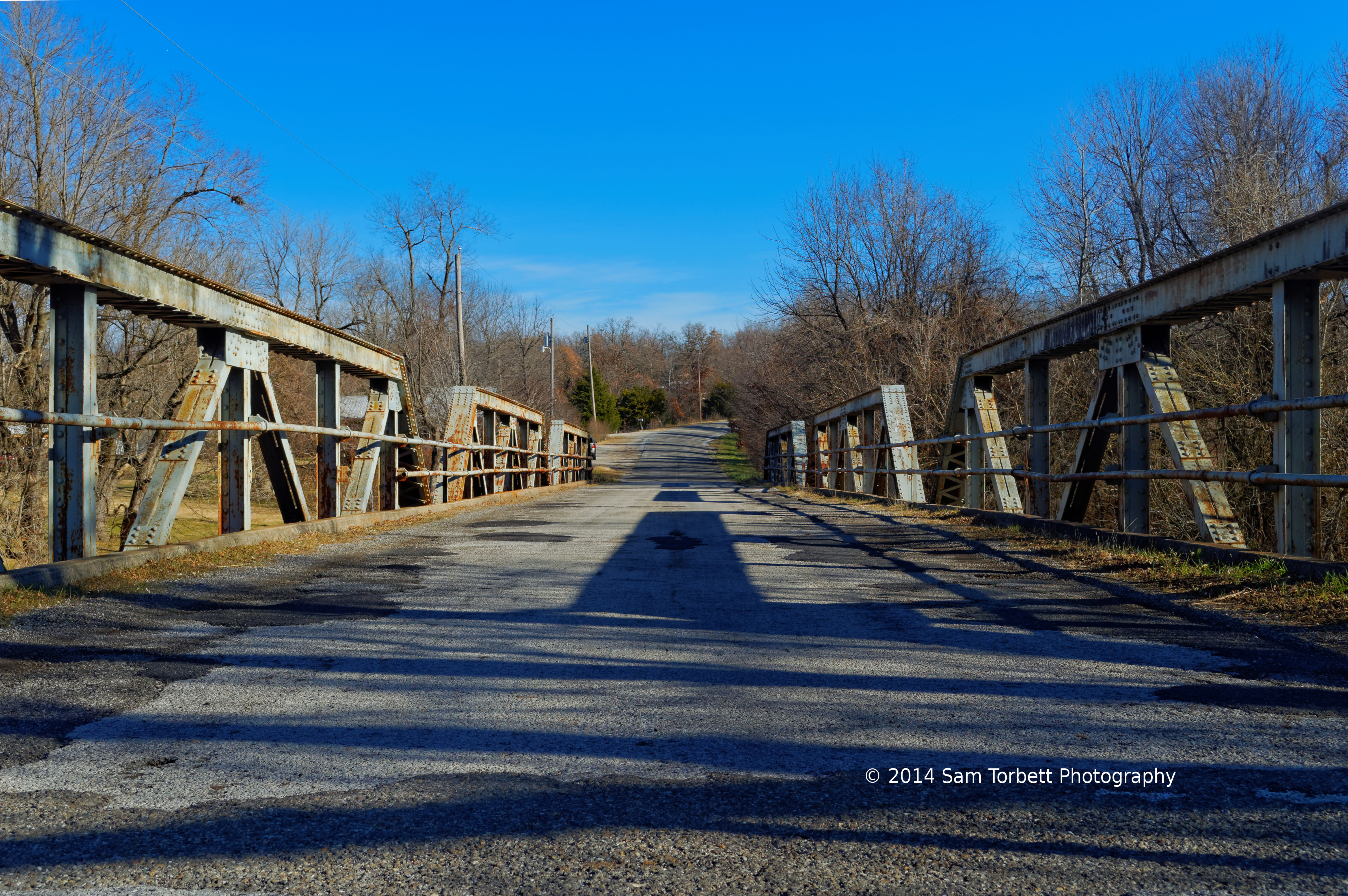
Rt 266 Bridge View #2
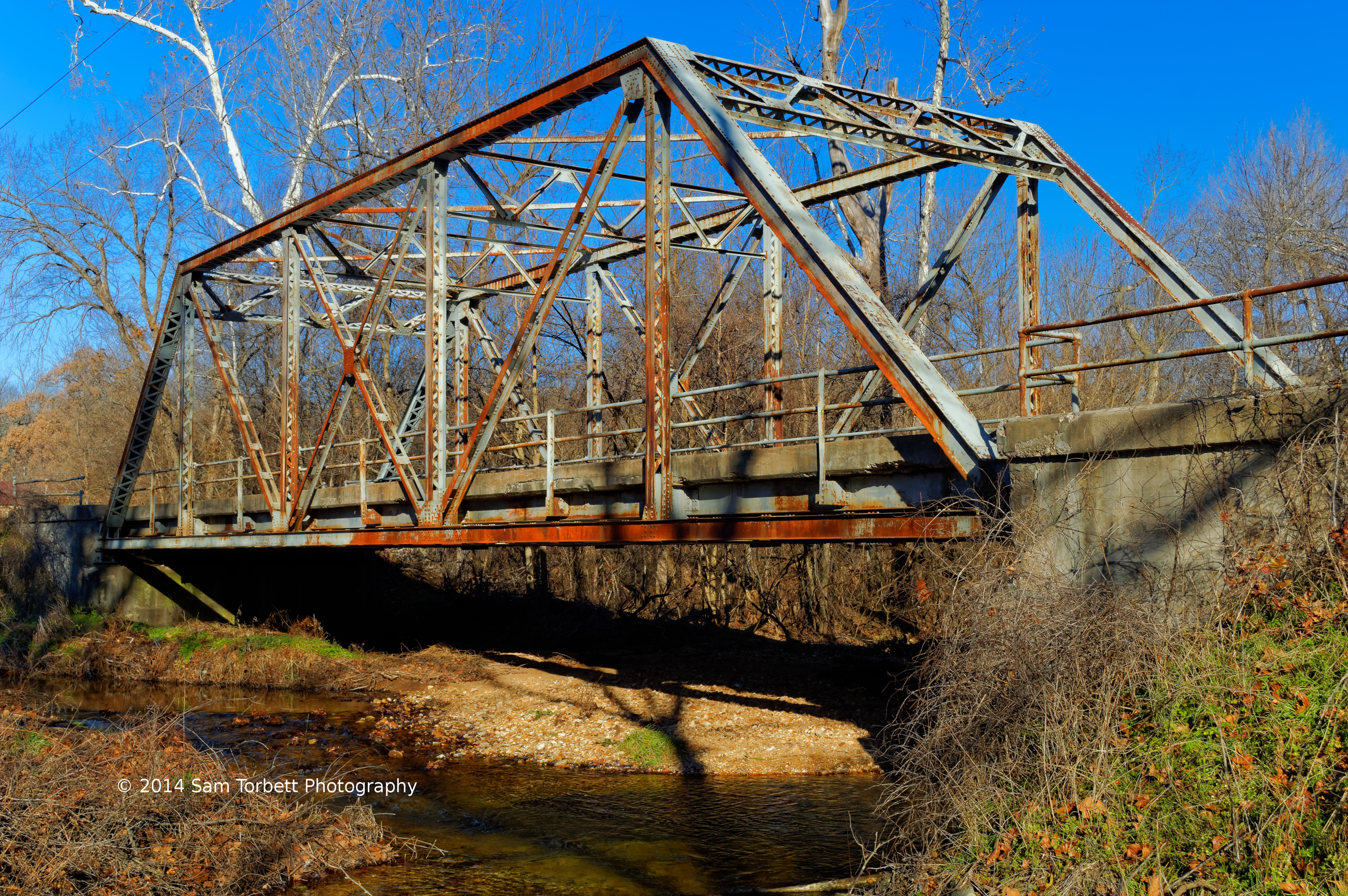
Old Johnson Creek Bridge View #2

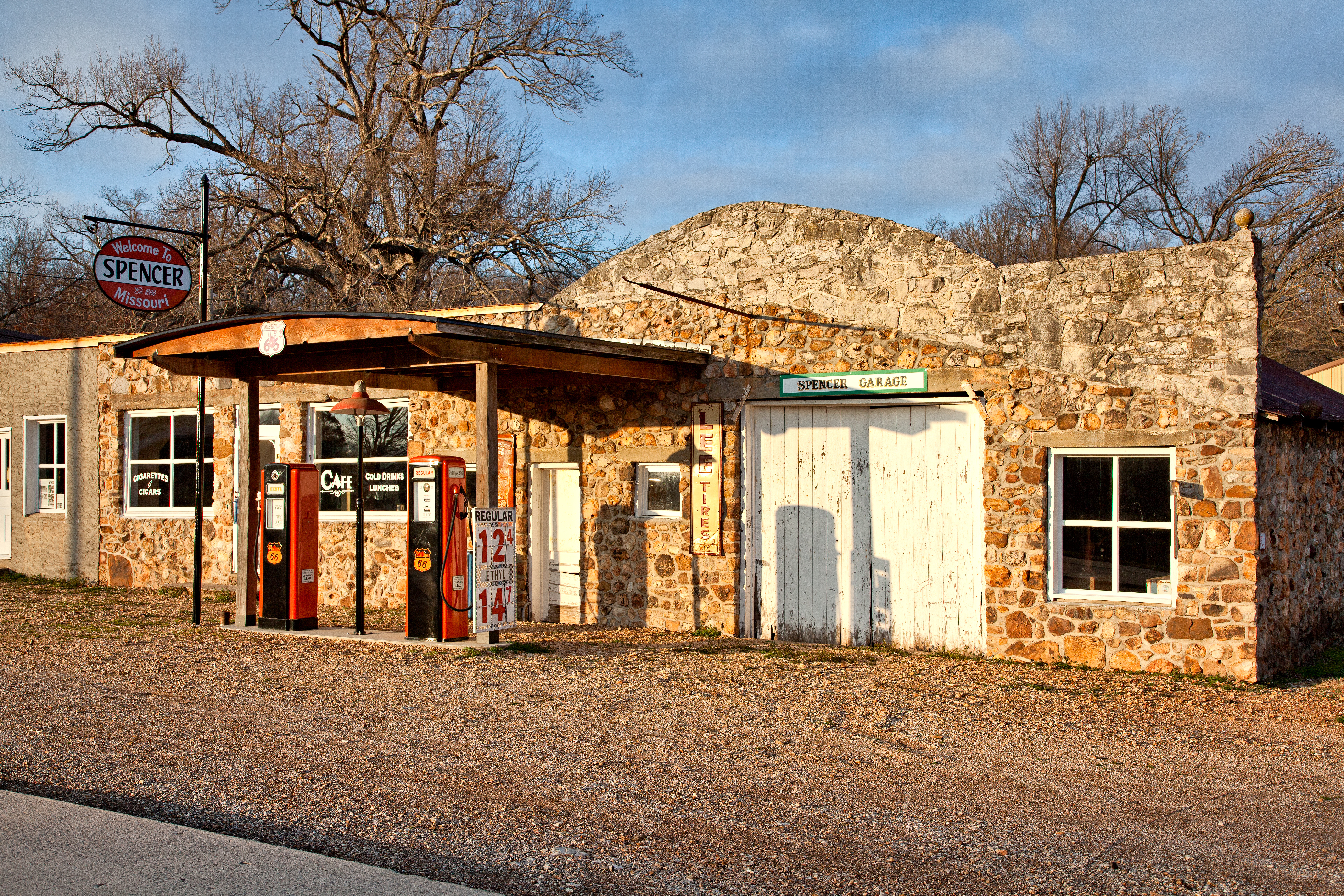
Fill 'er up
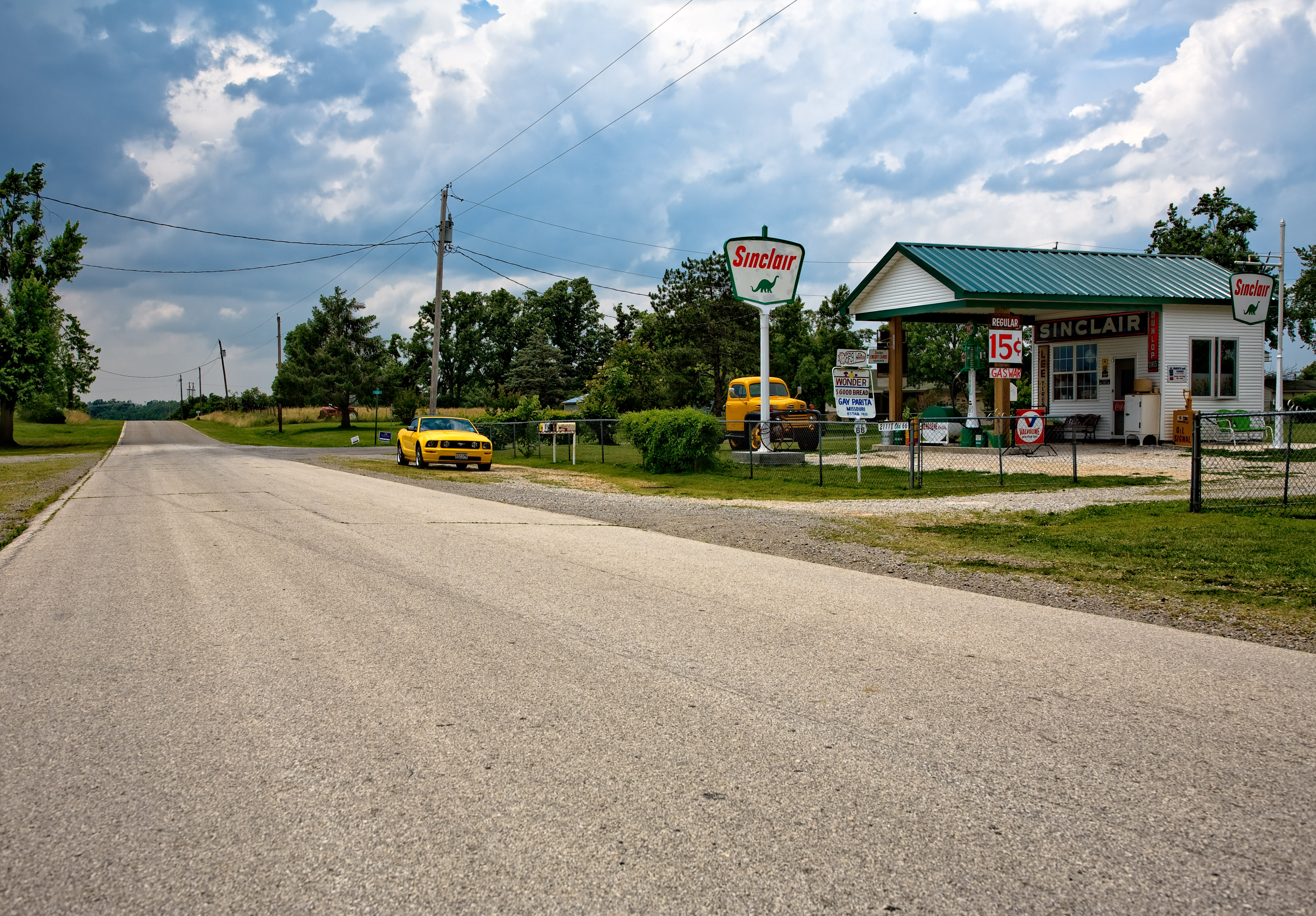
The view out of Paris Springs looking west on old 66
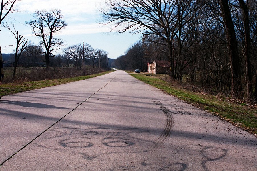
Here's a stretch of old route 66 in Lawrence County that is reasonably intact with the original concrete. Someone has also spray-painted a crude 66 emblem onto the concrete.

Law 1205 Bridge View #2

Sad and All Alone

Old Barn
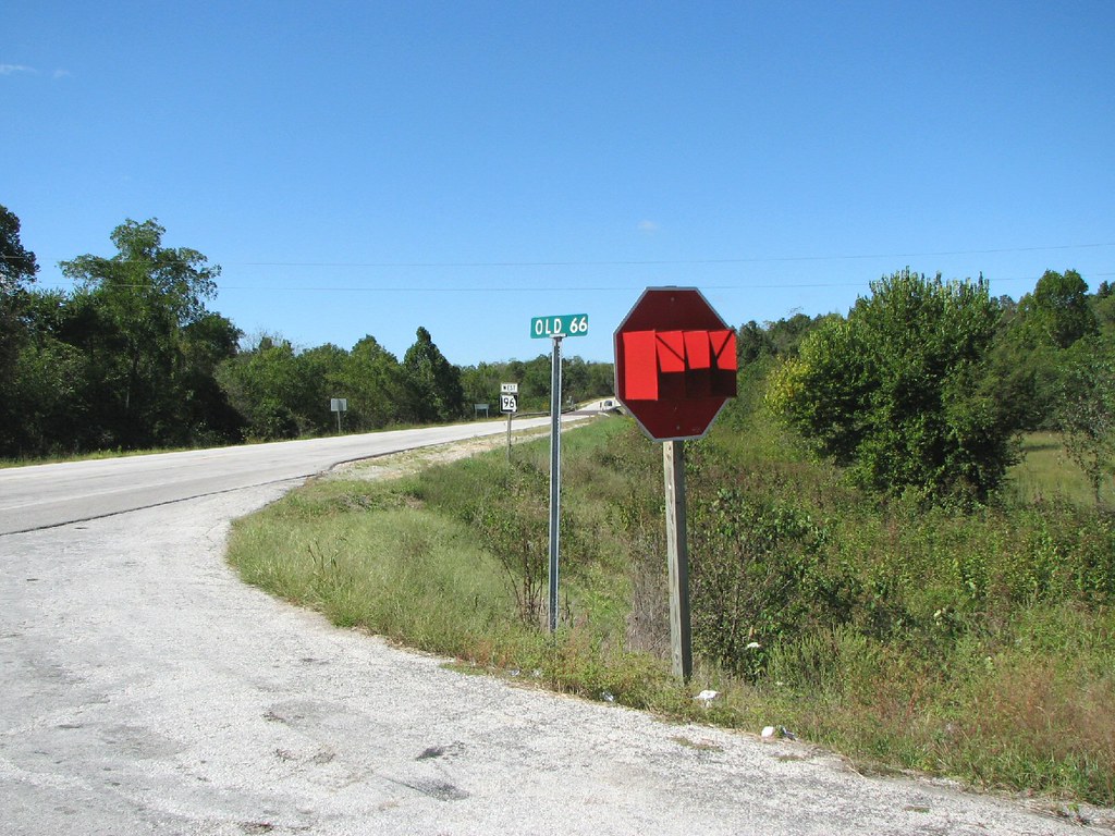
STOP Sign With Glasses?
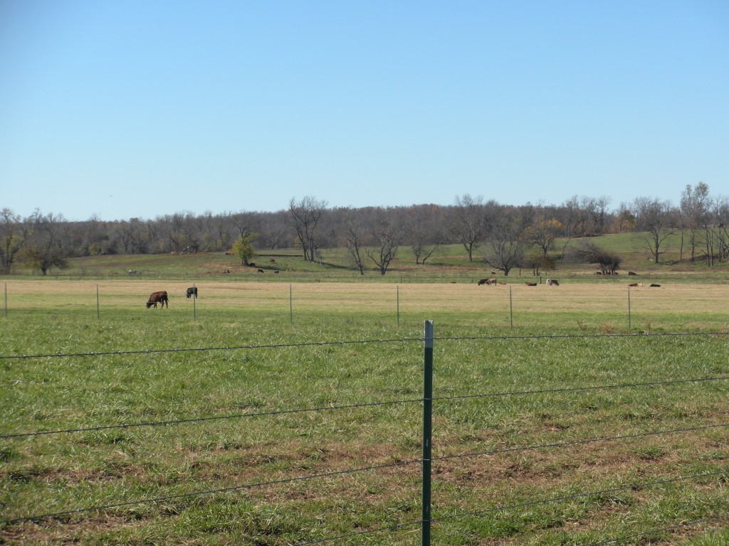
Cattle farm
Topographic Map of Lawrence County, MO, USA
Find elevation by address:

Places in Lawrence County, MO, USA:
Lincoln Township
Ozark Township
Buck Prairie Township
Spring River
Hoberg Township
Turnback Township
N Central Ave, Monett, MO, USA
Aurora Township
Places near Lawrence County, MO, USA:
Rte 66, Miller, MO, USA
10896 Lawrence 2120
S Holmes St, Miller, MO, USA
Miller
Lincoln Township
Hoberg
1st St, Mt Vernon, MO, USA
Hoberg Township
Robert E. Talbot Conservation Area
Lawrence, Miller, MO, USA
Ozark Township
Aurora Township
Turnback Township
Verona
State Hwy Z, Everton, MO, USA
Spring River
State Highway T
220 N Elliott Ave
214 N Elliott Ave
212 N Elliott Ave
Recent Searches:
- Elevation of Corso Fratelli Cairoli, 35, Macerata MC, Italy
- Elevation of Tallevast Rd, Sarasota, FL, USA
- Elevation of 4th St E, Sonoma, CA, USA
- Elevation of Black Hollow Rd, Pennsdale, PA, USA
- Elevation of Oakland Ave, Williamsport, PA, USA
- Elevation of Pedrógão Grande, Portugal
- Elevation of Klee Dr, Martinsburg, WV, USA
- Elevation of Via Roma, Pieranica CR, Italy
- Elevation of Tavkvetili Mountain, Georgia
- Elevation of Hartfords Bluff Cir, Mt Pleasant, SC, USA