Elevation of Lavender, ON L0M, Canada
Location: Canada > Ontario > Simcoe County > Clearview >
Longitude: -80.163831
Latitude: 44.269608
Elevation: 465m / 1526feet
Barometric Pressure: 96KPa
Elevation Map:
Satellite Map:
Related Photos:
Far Far Away
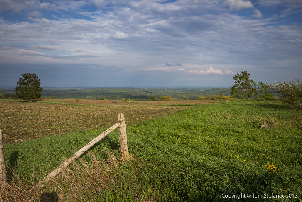
Farm On A Hill
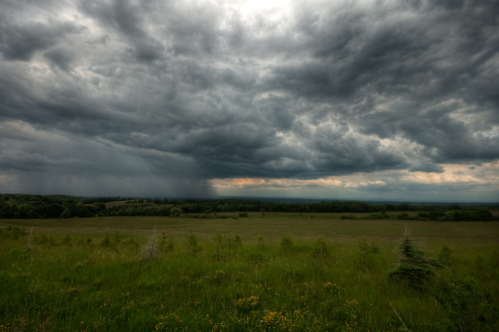
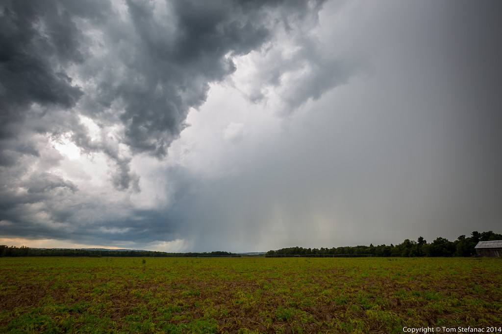
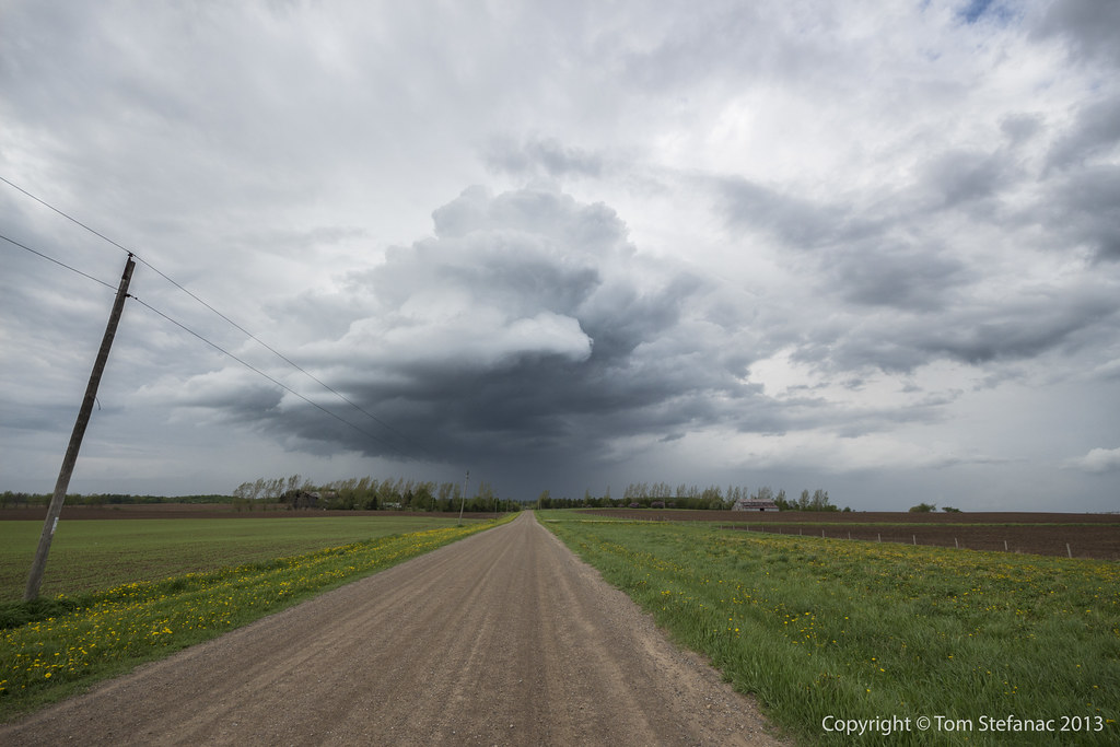
Collingwood Rain
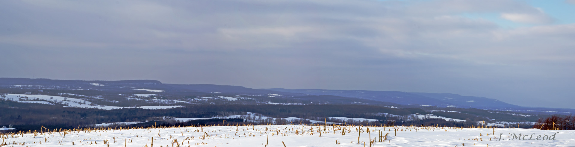
Escarpment View 2
Escarpment View 1

Bald Eagle (Haliaeetus leucocephalus) AA278524

Roman Blind
Vanishing Point
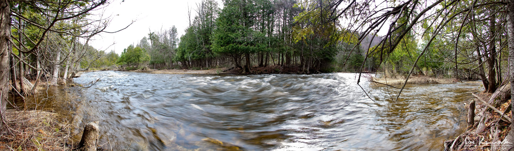
Mad River Panorama
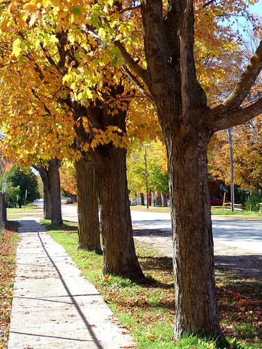
Creemore Streetscape
Dress Up Dance

Autumn at the Library
Approaching Sunset
Foggy Hills

Eugenia Falls
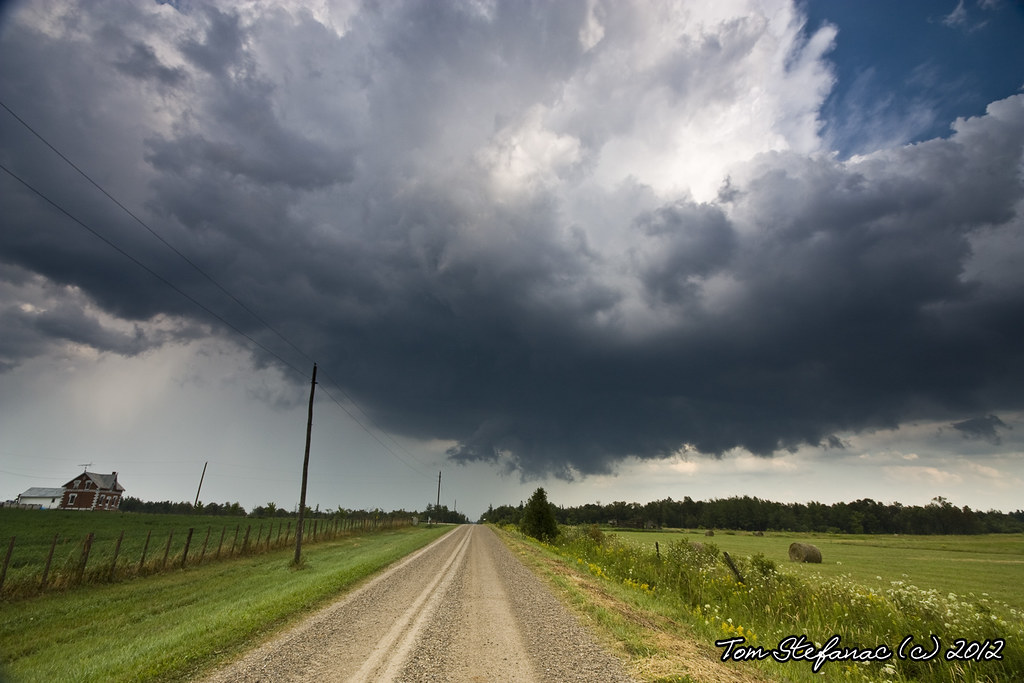
A Break in the Clouds
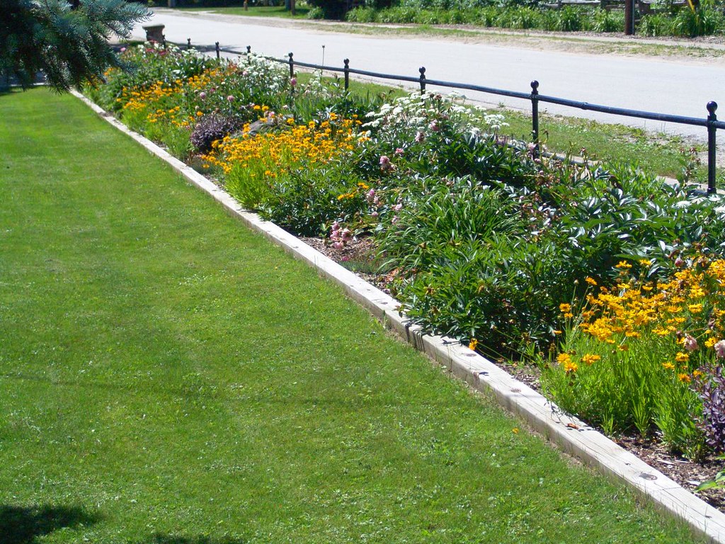
220 Mill Street Garden
Bokeh Day

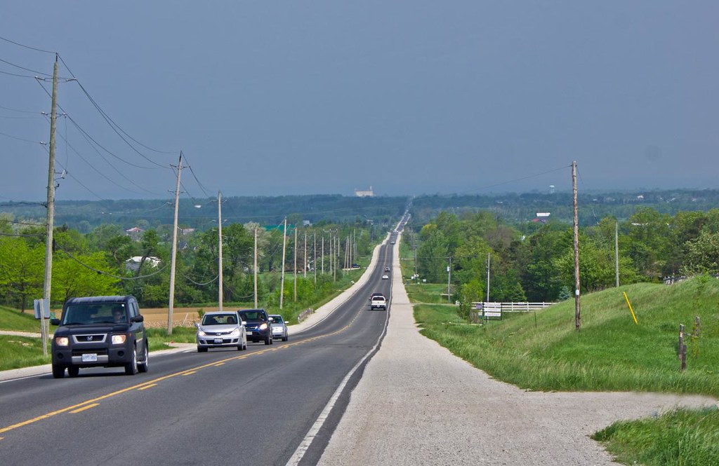
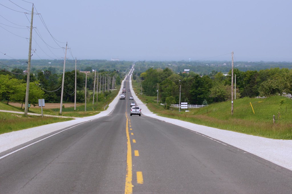
back on the road
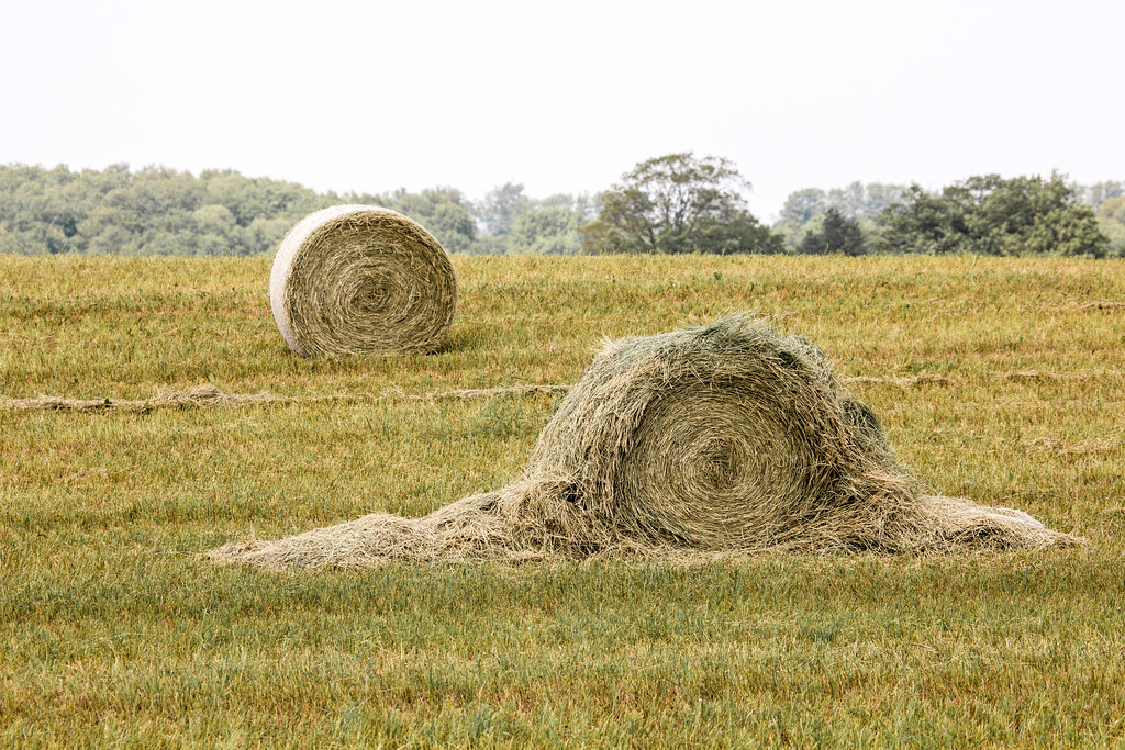
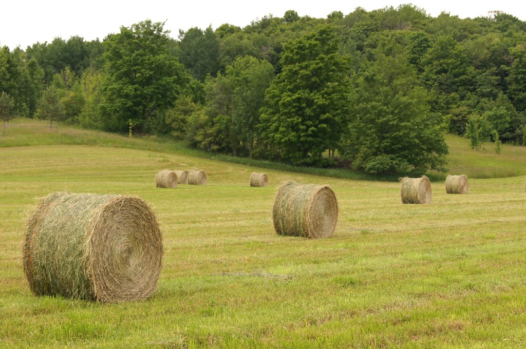
Hay, Hey!
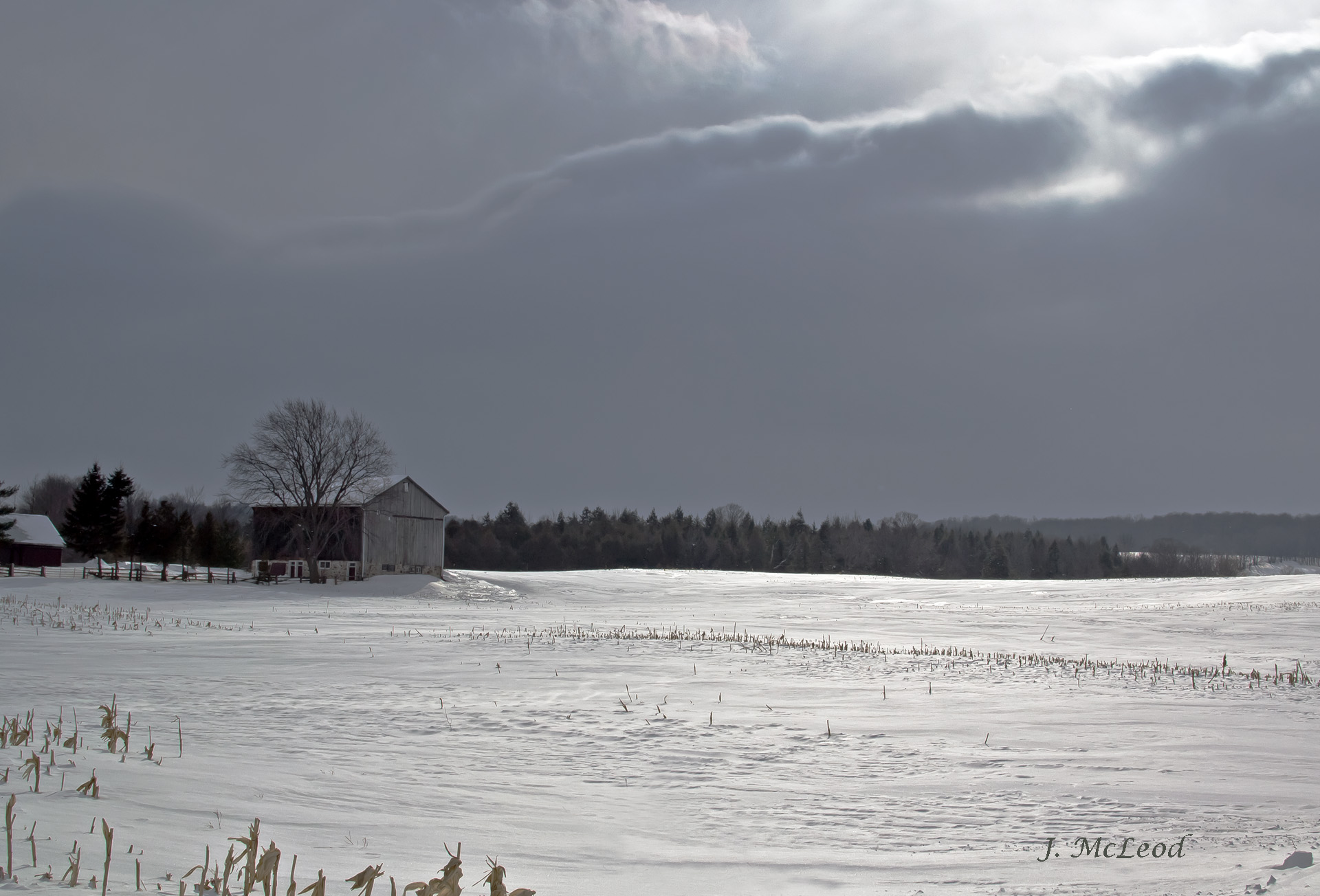
Winter Light

a tree thought
Blue Mountain Panorama from Glen Huron Sideroad
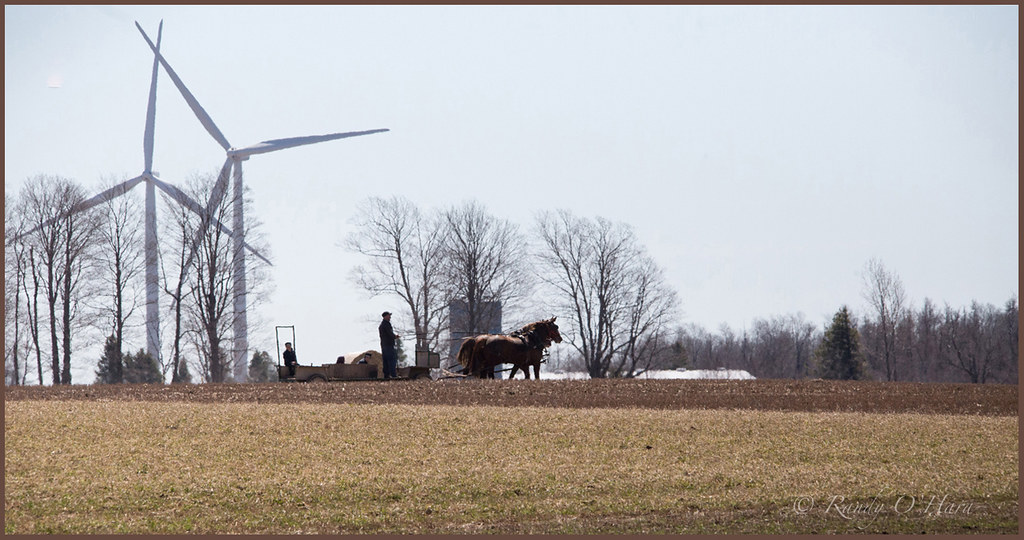
Horse Drawn
20140905-_E1A8886.jpg
The Birth of Azul

River Road -1
20140905-_E1A8897.jpg
20140905-_E1A8903.jpg
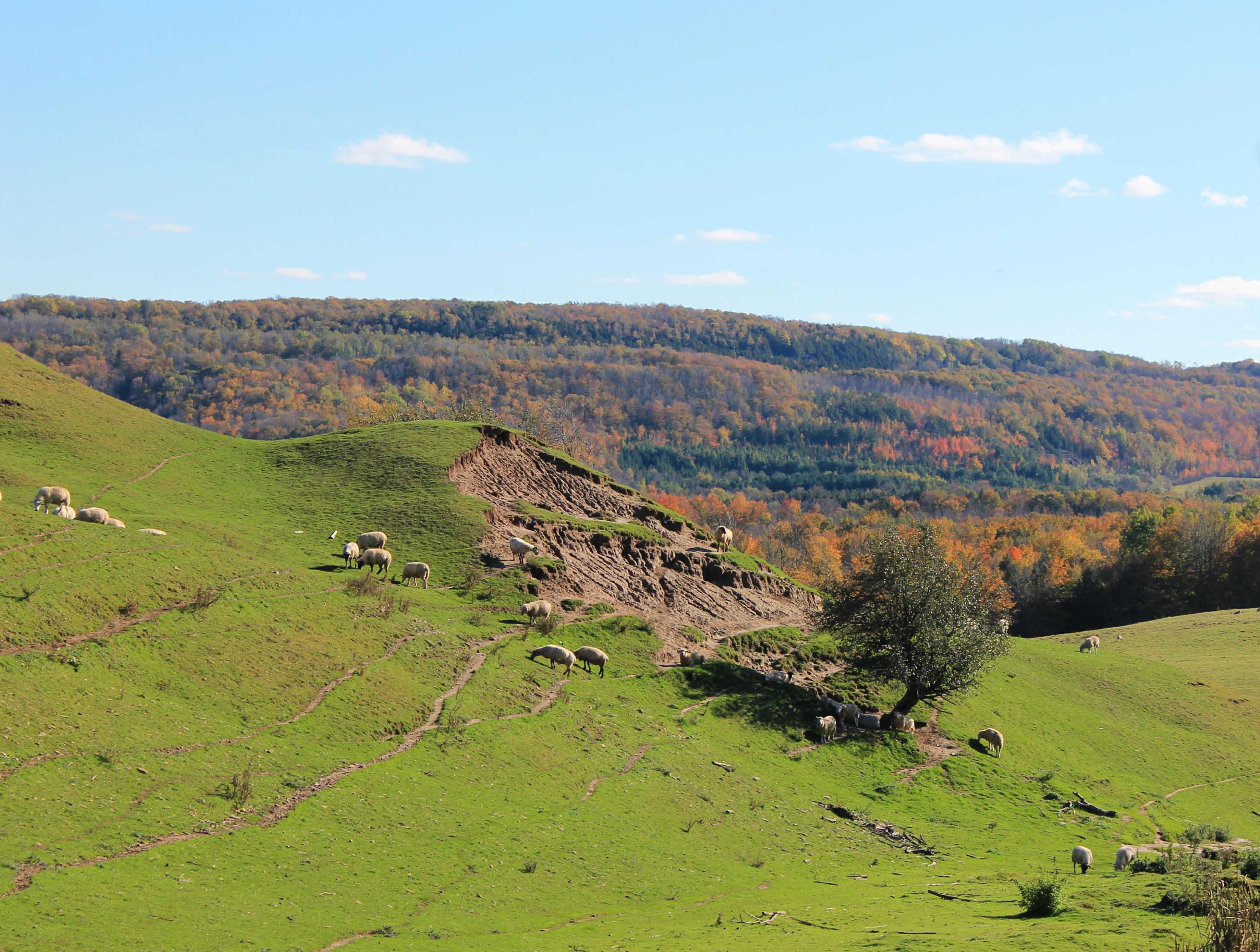
Hilly pasture

Through the grass
Structure Growing
'Round The Farm
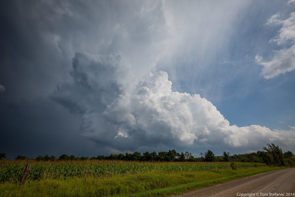
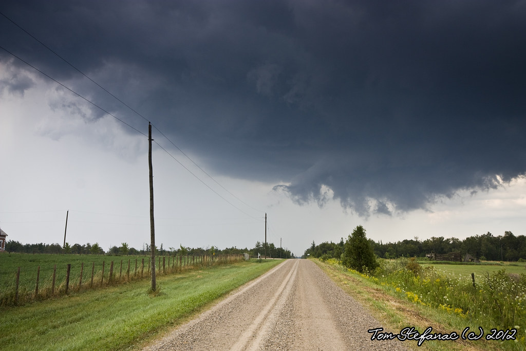
Wanna Be Supercell
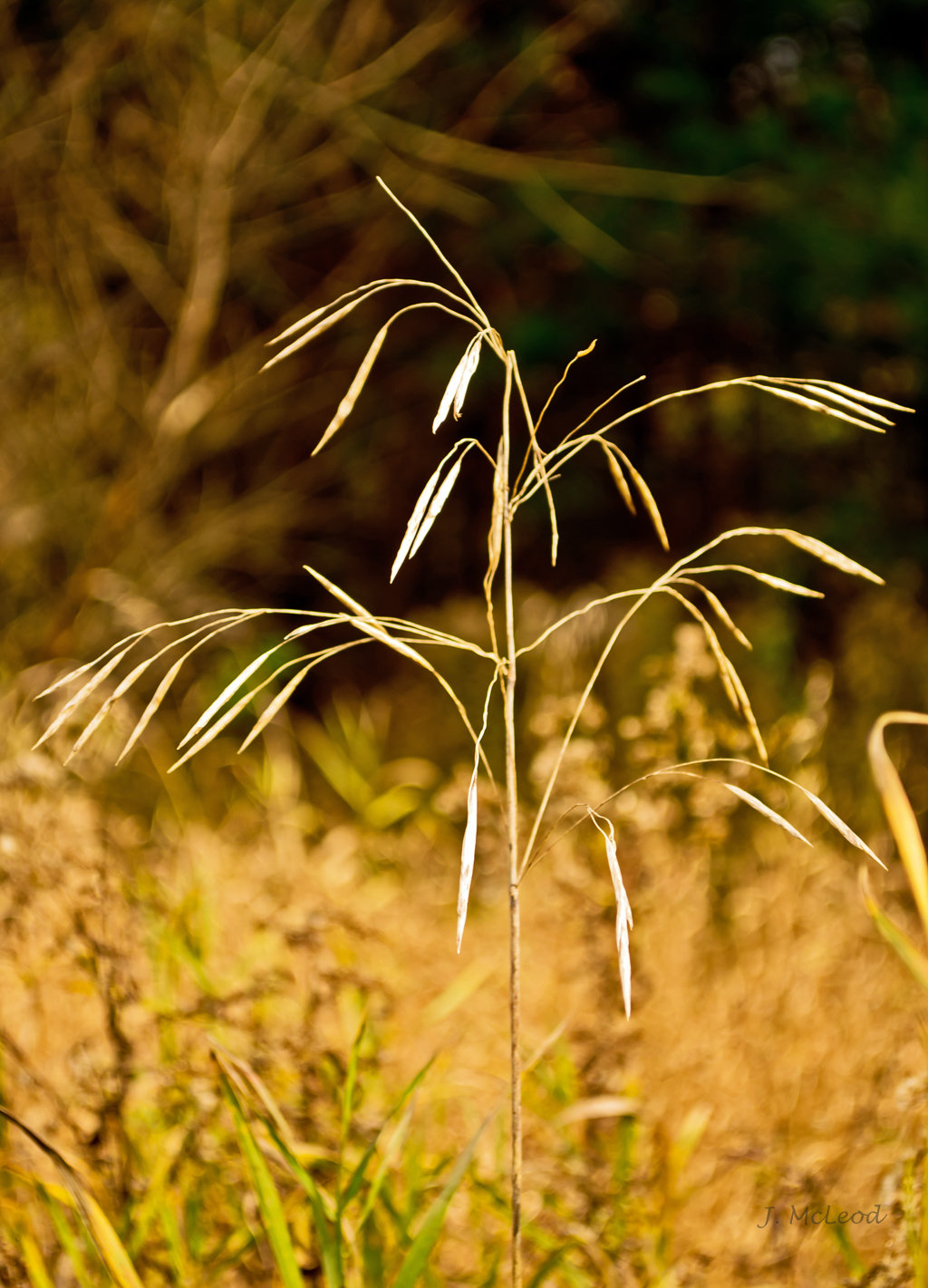
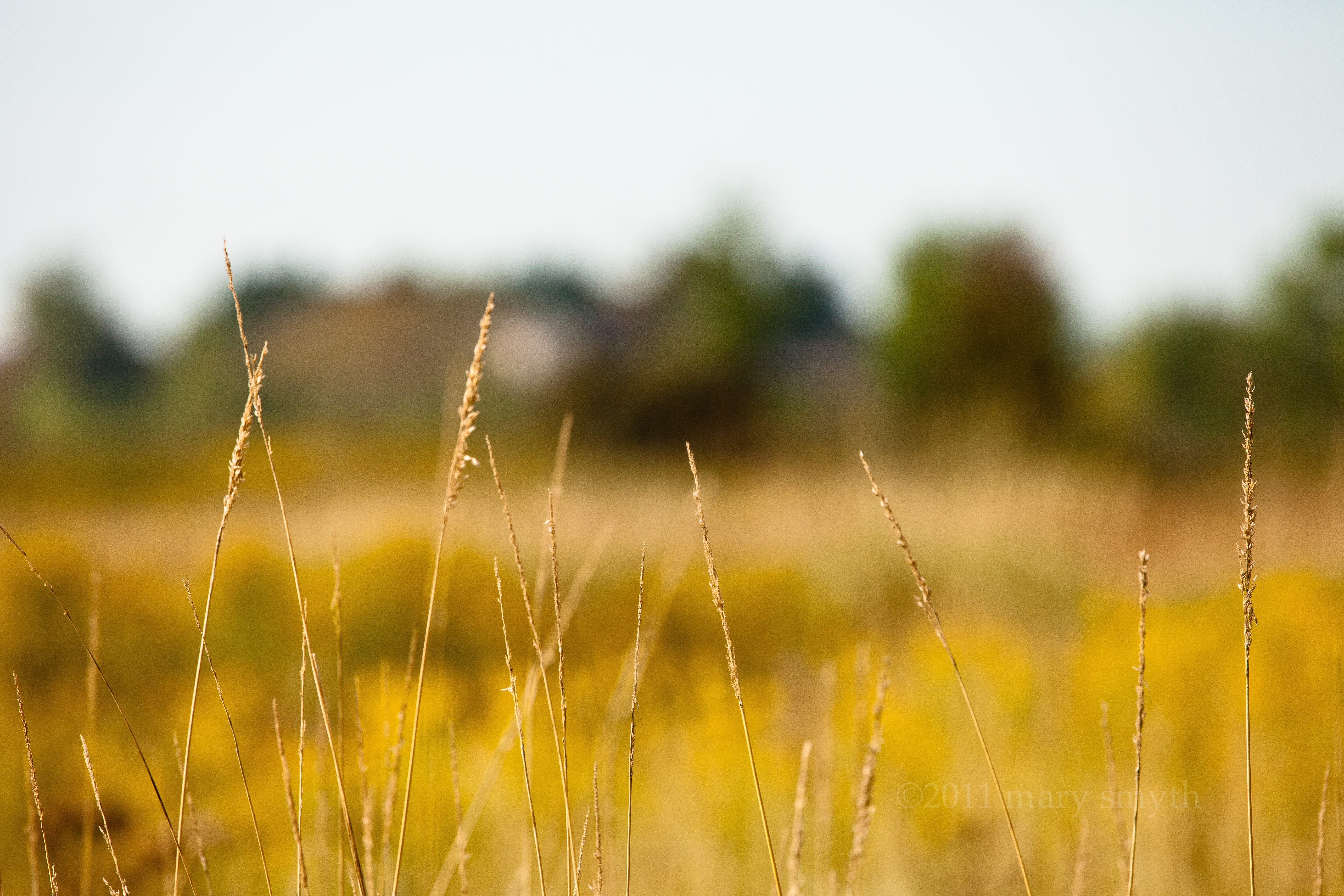
Wild Grass
Georgian Bay
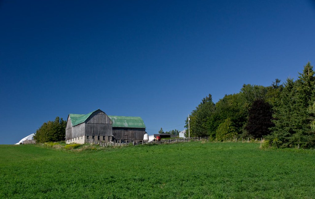
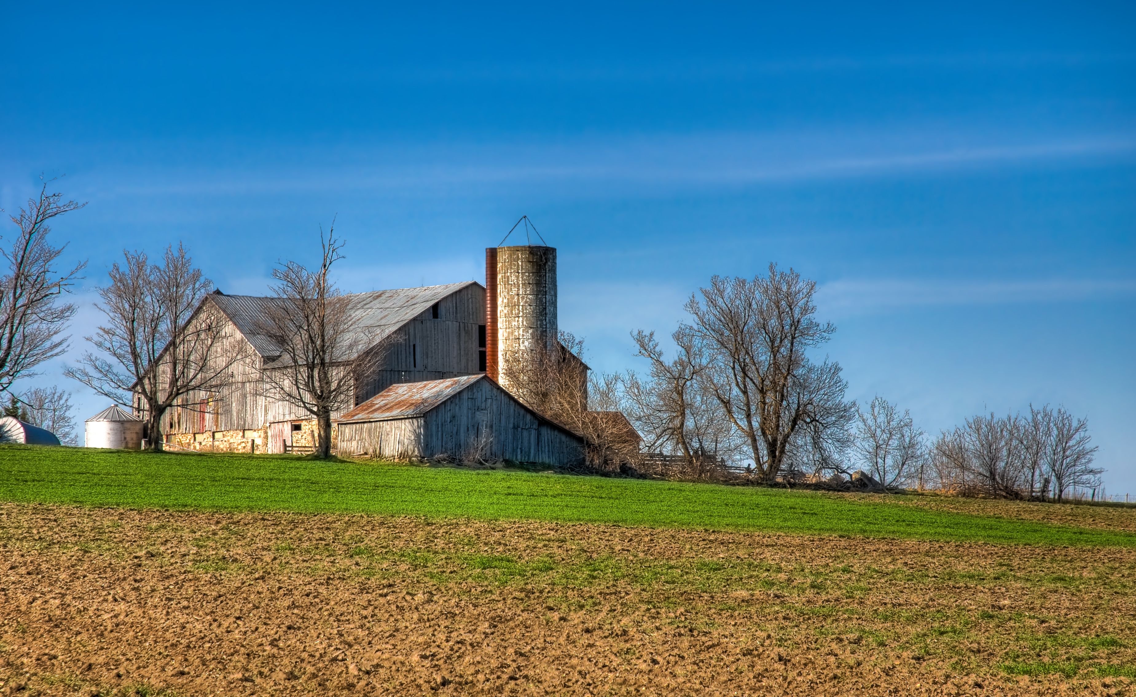
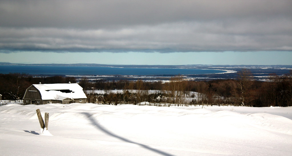
Hillside Barn
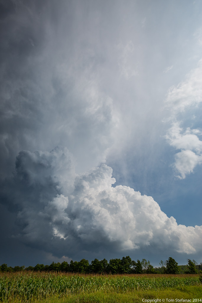
First Intercept
Topographic Map of Lavender, ON L0M, Canada
Find elevation by address:

Places near Lavender, ON L0M, Canada:
826298 Mulmur Nottawasaga Townline
826298 Mulmur Nottawasaga Townline
826298 Mulmur Nottawasaga Townline
826298 Mulmur Nottawasaga Townline
826298 Mulmur Nottawasaga Townline
Honeywood
Osprey Wetlands
Devils Glen Provincial Park
606060 River Rd
18 Mill Town Rd
Singhampton
Badjeros
3001 Simcoe County Rd 124
468375 Grey Rd 31 - Simcoe Rd 95
794232 Grey Rd 31 - Simcoe Rd 95
794232 Grey Rd 31 - Simcoe Rd 95
794232 Grey Rd 31 - Simcoe Rd 95
794232 Grey Rd 31 - Simcoe Rd 95
South Line
Duntroon
Recent Searches:
- Elevation of Corso Fratelli Cairoli, 35, Macerata MC, Italy
- Elevation of Tallevast Rd, Sarasota, FL, USA
- Elevation of 4th St E, Sonoma, CA, USA
- Elevation of Black Hollow Rd, Pennsdale, PA, USA
- Elevation of Oakland Ave, Williamsport, PA, USA
- Elevation of Pedrógão Grande, Portugal
- Elevation of Klee Dr, Martinsburg, WV, USA
- Elevation of Via Roma, Pieranica CR, Italy
- Elevation of Tavkvetili Mountain, Georgia
- Elevation of Hartfords Bluff Cir, Mt Pleasant, SC, USA