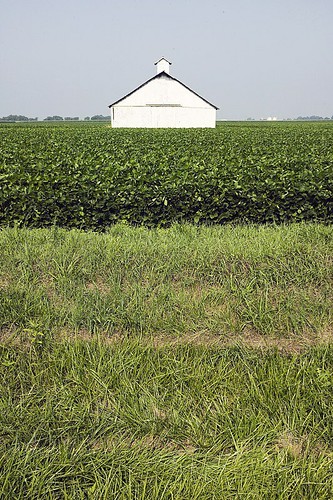
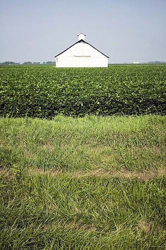
Elevation of Laurel St, Scottville, IL, USA
Location: United States > Illinois > Macoupin County > Scottville Township > Scottville >
Longitude: -90.103793
Latitude: 39.4812375
Elevation: 199m / 653feet
Barometric Pressure: 99KPa
Related Photos:
Topographic Map of Laurel St, Scottville, IL, USA
Find elevation by address:

Places near Laurel St, Scottville, IL, USA:
Scottville
Scottville Township
County Highway 38
3188 Il-104
Franklin
Franklin Township
Flinn Rd, Franklin, IL, USA
836 Hoagland Rd
Woodson
Woodson
Woods Ln, Jacksonville, IL, USA
298 Moeller Rd
Alexander Precinct
974 Lonergan Ln
974 Lonergan Ln
Arnold Rd, Jacksonville, IL, USA
W Wabash Ave, Jacksonville, IL, USA
Alexander
203 Orr St
Roodhouse Township
Recent Searches:
- Elevation of Martins Mill Ct, Eagle Rock, NC, USA
- Elevation of Kippen, Stirling FK8, UK
- Elevation of Sieveringer Straße, Sieveringer Str., Wien, Austria
- Elevation of Bratskaya Ulitsa, 24, Kurgan, Kurganskaya oblast', Russia
- Elevation of Paradisvegen, Biri, Norway
- Elevation of Crystal Cir, Birmingham, AL, USA
- Elevation of N Railroad Ave, West Palm Beach, FL, USA
- Elevation of 55 Cassick Valley Rd, Wellfleet, MA, USA
- Elevation of Ironwood Dr, Minden, NV, USA
- Elevation of 高尾山口駅, Takaomachi, Hachioji, Tokyo -, Japan


