Elevation of IL-, Waverly, IL, USA
Location: United States > Illinois > Morgan County > Waverly >
Longitude: -90.013453
Latitude: 39.5938852
Elevation: 185m / 607feet
Barometric Pressure: 99KPa
Elevation Map:
Satellite Map:
Related Photos:

NS #255 at Orleans - Pt. 2
NS D31 at Alexander

Penn Central 1073 at Franklin - Pt. 2

NS #145 at Orleans

Side view of the SCOBY. And an awesomely distorted sink reflection.

Orleans Washout - Eastbound
Maxwell Township, Sangamon County

Five Trees

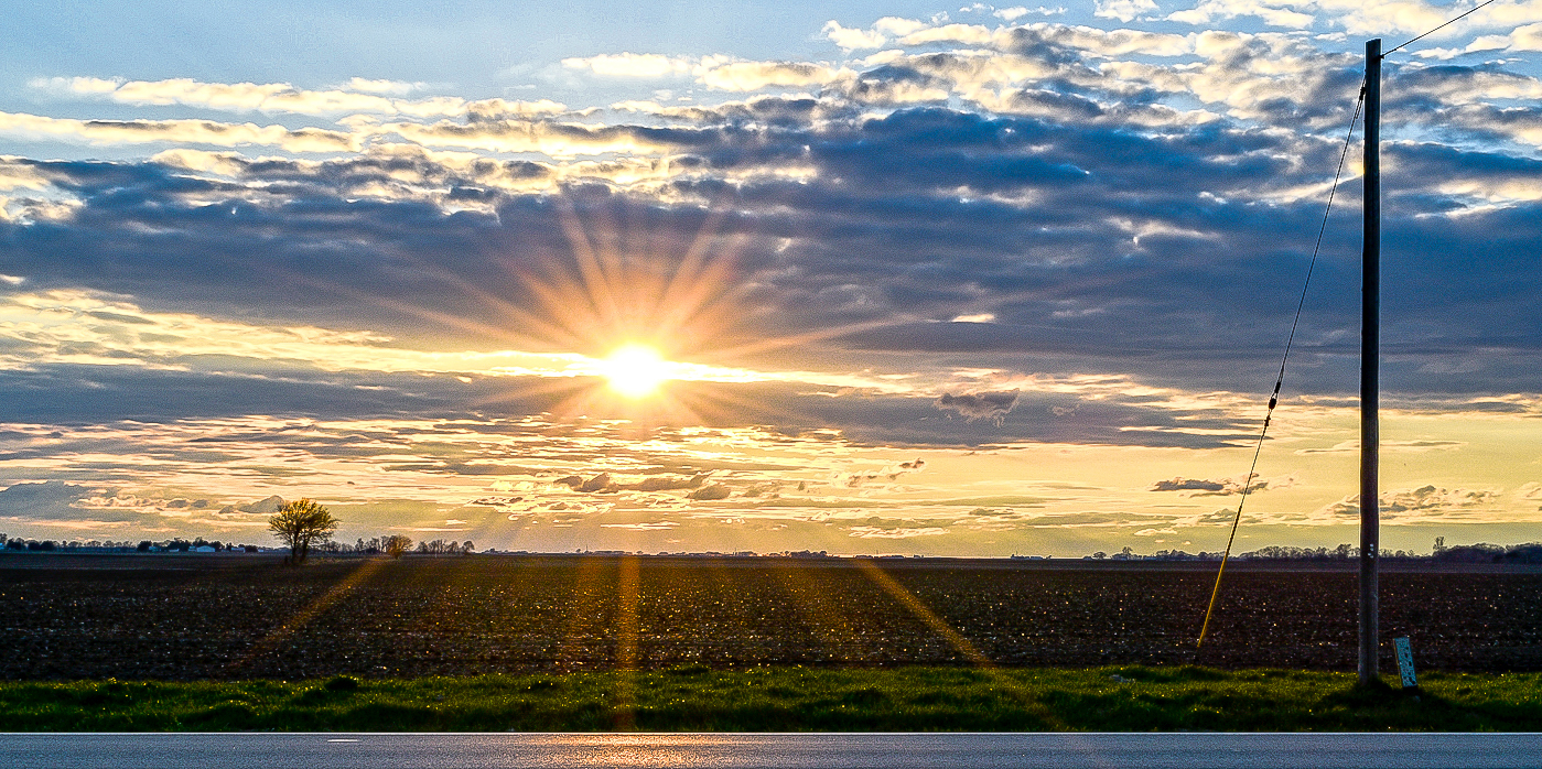
sun down

BNSF 9346 East at Lowder

_MG_0357.jpg

NS D31 east of Island Grove

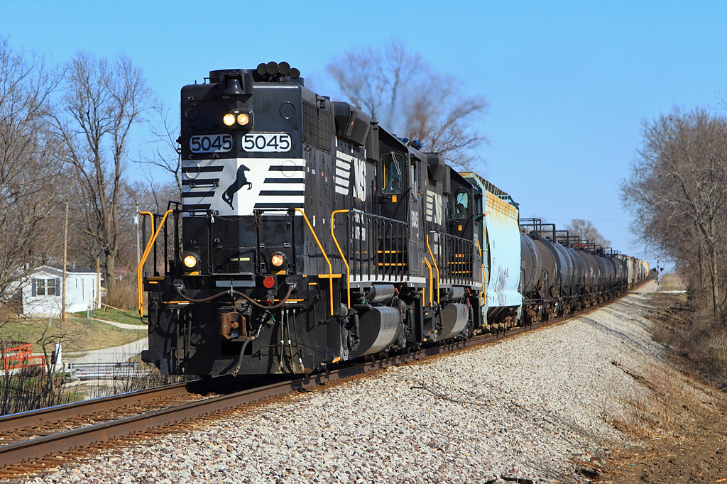
CN Grain Train west of Waverly
Topographic Map of IL-, Waverly, IL, USA
Find elevation by address:

Places near IL-, Waverly, IL, USA:
Franklin
Franklin Township
Flinn Rd, Franklin, IL, USA
County Highway 38
Alexander Precinct
Alexander
W Wabash Ave, Jacksonville, IL, USA
Laurel St, Scottville, IL, USA
Scottville
Scottville Township
836 Hoagland Rd
Arnold Rd, Jacksonville, IL, USA
Twyford Bbq & Catering
Woods Ln, Jacksonville, IL, USA
Woodson
Woodson
E Strawn Crossing Rd, Jacksonville, IL, USA
298 Moeller Rd
929 Goltra Ave
Morgan County
Recent Searches:
- Elevation of Kambingan Sa Pansol Atbp., Purok 7 Pansol, Candaba, Pampanga, Philippines
- Elevation of Pinewood Dr, New Bern, NC, USA
- Elevation of Mountain View, CA, USA
- Elevation of Foligno, Province of Perugia, Italy
- Elevation of Blauwestad, Netherlands
- Elevation of Bella Terra Blvd, Estero, FL, USA
- Elevation of Estates Loop, Priest River, ID, USA
- Elevation of Woodland Oak Pl, Thousand Oaks, CA, USA
- Elevation of Brownsdale Rd, Renfrew, PA, USA
- Elevation of Corcoran Ln, Suffolk, VA, USA