Elevation of Launch Landing Rd, Moyock, NC, USA
Location: United States > North Carolina > Currituck County > Moyock > Moyock >
Longitude: -76.046211
Latitude: 36.4984556
Elevation: 3m / 10feet
Barometric Pressure: 101KPa
Elevation Map:
Satellite Map:
Related Photos:

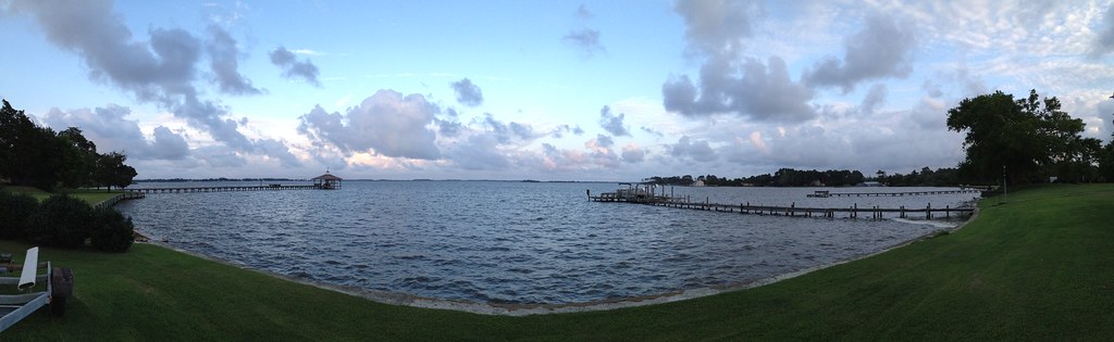
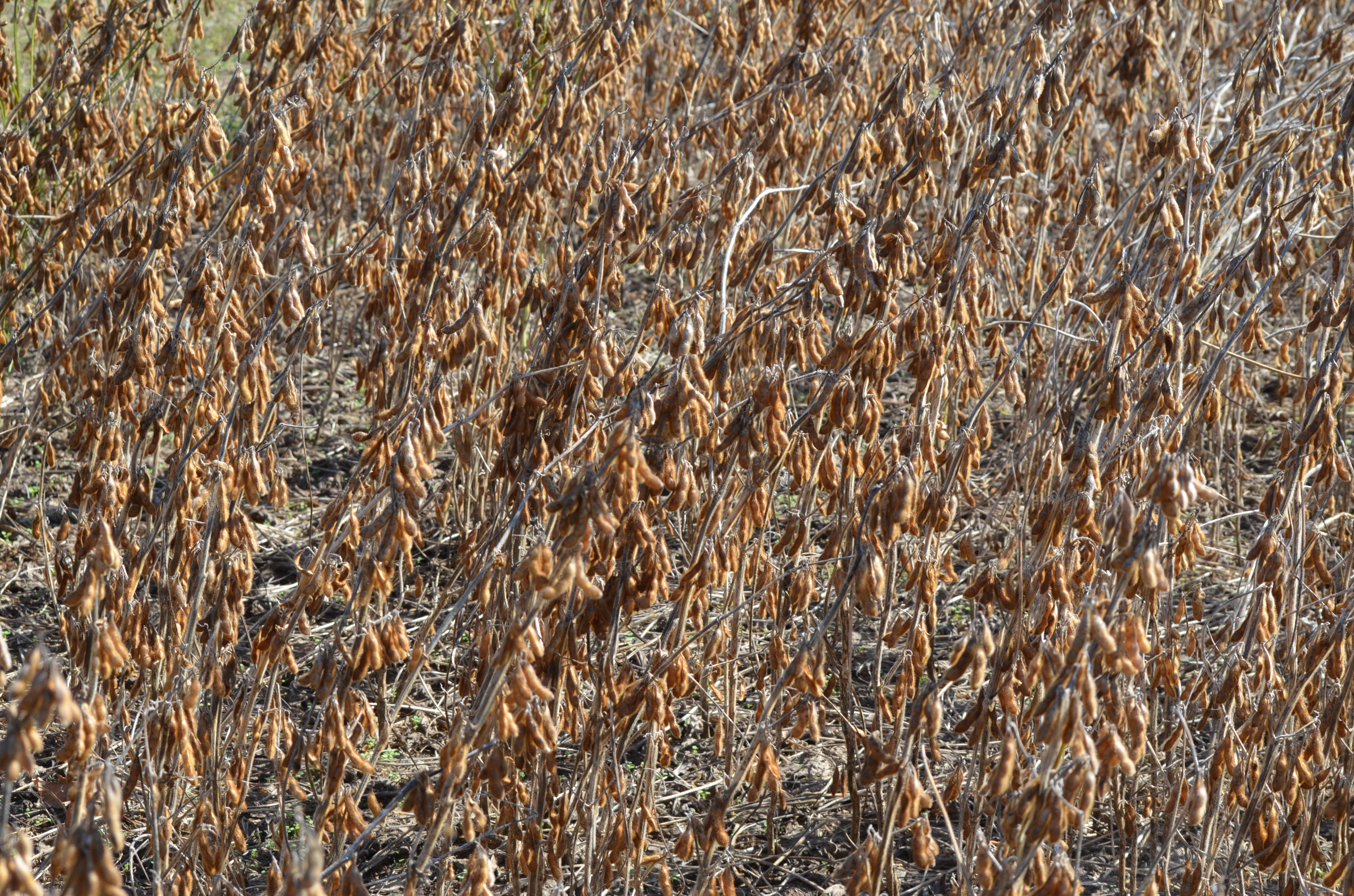
Blackwater 025
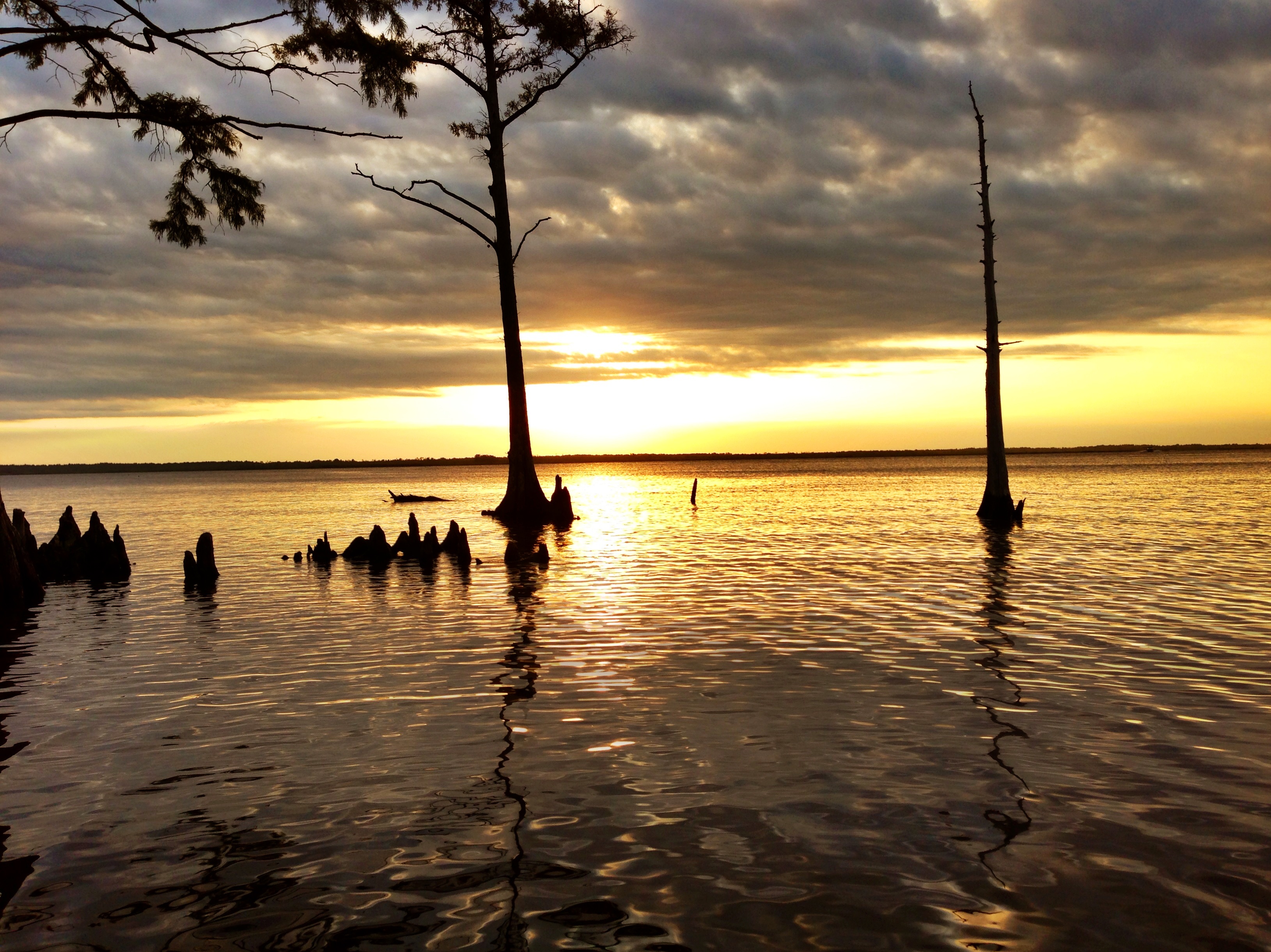
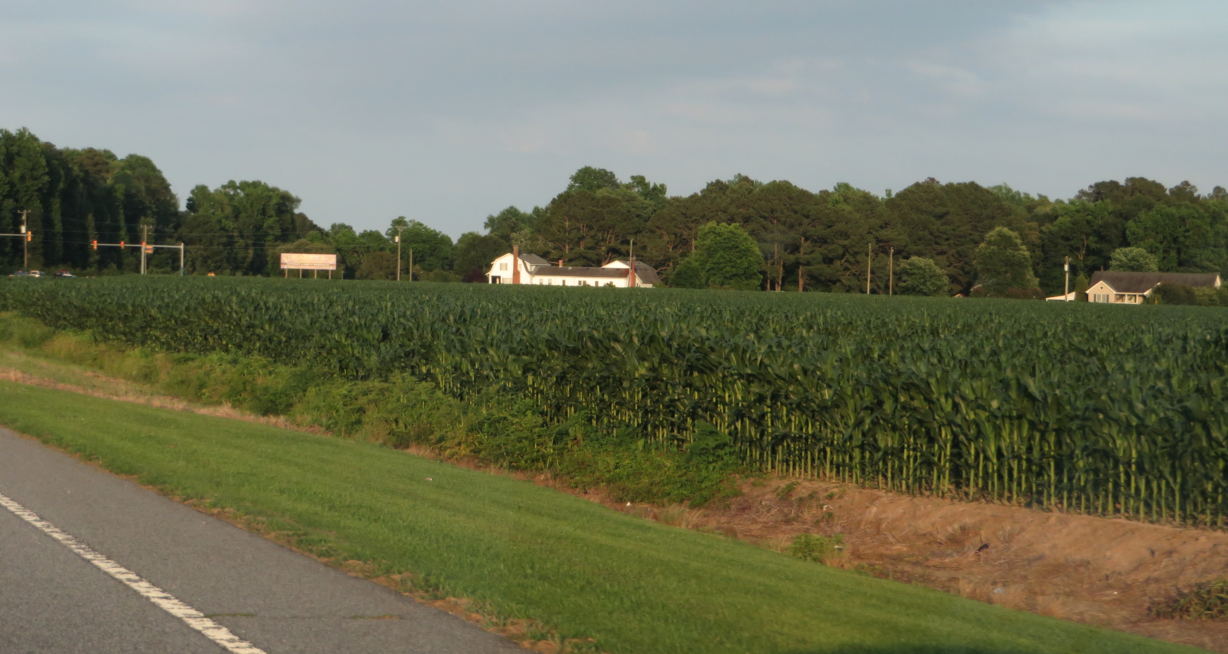
Wonderful Evening

A Sight for Sore Feet

The Captains Quarters
2013-10-24 - (20) Morris Farm Market
2013-10-24 (33) chainsaw wood carving
2013-10-24 - (22) Morris Farm Market

20080822 12-56-09WHB

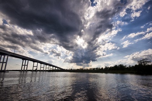
Storms moving through
Labor Day Camping Trip - Sunset from North Landing Beach
8-366-1
Indian Creek Horizontal Crop

Last Days of Summer
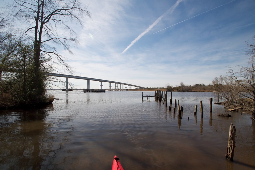
A Bridge Too Far

Stallion & Foal

z2013-09-11 (22) Currituck County NC

North Landing River
2013-10-24 - (37) Morris Farm Market

DSC_9784-Pano

DSCN4655.JPG
Caratoke Highway (North Carolina Highway 168), Currituck, North Carolina
Pungo Ferry Road Bridge

Knott's Island Camping Trip

Munden Point Park
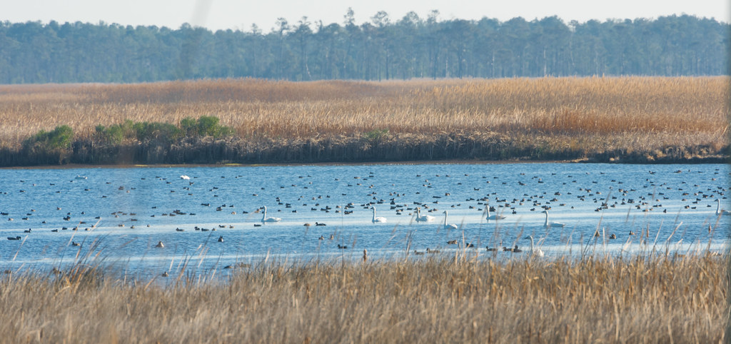
Back Bay Wildlife Refuge

IMG_1749.jpg

Ponies at the stream
Topographic Map of Launch Landing Rd, Moyock, NC, USA
Find elevation by address:

Places near Launch Landing Rd, Moyock, NC, USA:
100 Carol Cir
122 Waters Dr
136 Travis Boulevard
137 Travis Boulevard
221 Poyners Rd
221 Poyners Rd
221 Poyners Rd
184 Brumsey Rd
Elizabeth Circle
120 Elizabeth Cir
283 Brumsey Rd
165 Mariners Way
147 Mariners Way
107 Drumm St
1356 Tulls Creek Rd
111 Marlin St
Barracuda Street
653 Poyners Rd
1294 Tulls Creek Rd
1288 Tulls Creek Rd
Recent Searches:
- Elevation of Congressional Dr, Stevensville, MD, USA
- Elevation of Bellview Rd, McLean, VA, USA
- Elevation of Stage Island Rd, Chatham, MA, USA
- Elevation of Shibuya Scramble Crossing, 21 Udagawacho, Shibuya City, Tokyo -, Japan
- Elevation of Jadagoniai, Kaunas District Municipality, Lithuania
- Elevation of Pagonija rock, Kranto 7-oji g. 8"N, Kaunas, Lithuania
- Elevation of Co Rd 87, Jamestown, CO, USA
- Elevation of Tenjo, Cundinamarca, Colombia
- Elevation of Côte-des-Neiges, Montreal, QC H4A 3J6, Canada
- Elevation of Bobcat Dr, Helena, MT, USA