Elevation of Poyners Rd, Moyock, NC, USA
Location: United States > North Carolina > Currituck County > Moyock > Moyock >
Longitude: -76.069671
Latitude: 36.456588
Elevation: 0m / 0feet
Barometric Pressure: 101KPa
Elevation Map:
Satellite Map:
Related Photos:
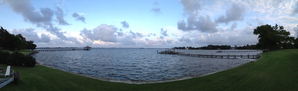
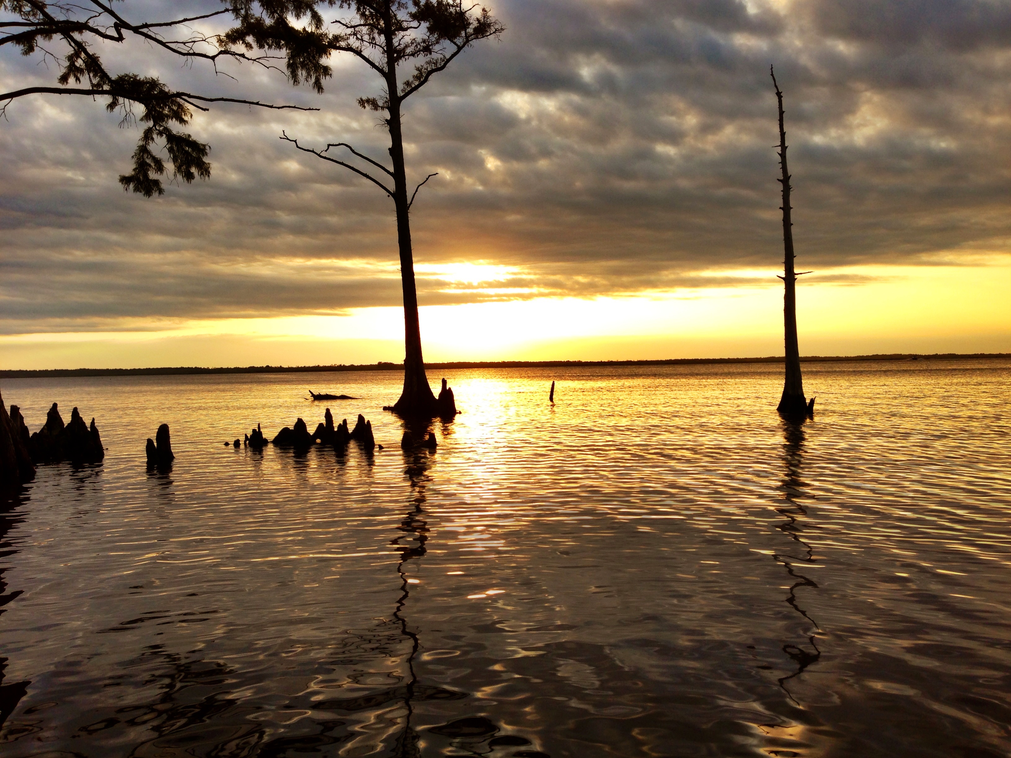
Wonderful Evening
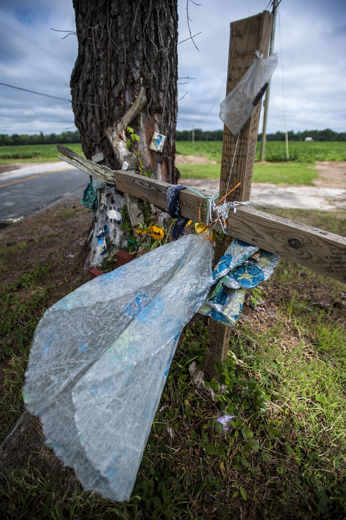
Wreck Tree
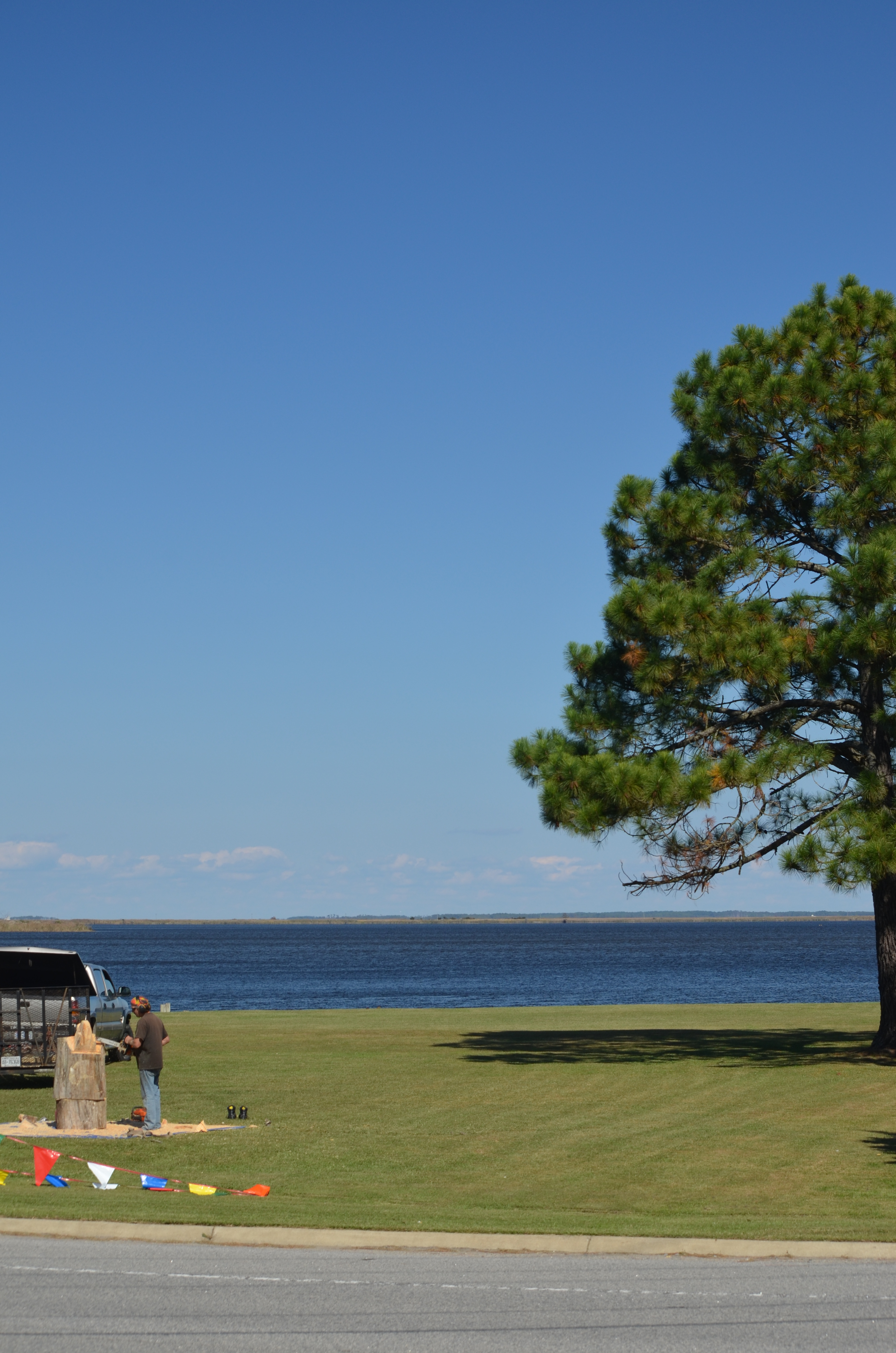
2013-10-24 (29) chainsaw wood carving
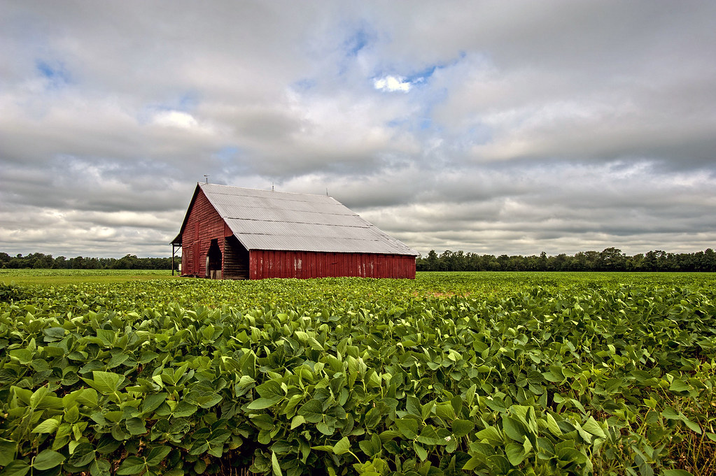
2013-10-24 - (20) Morris Farm Market

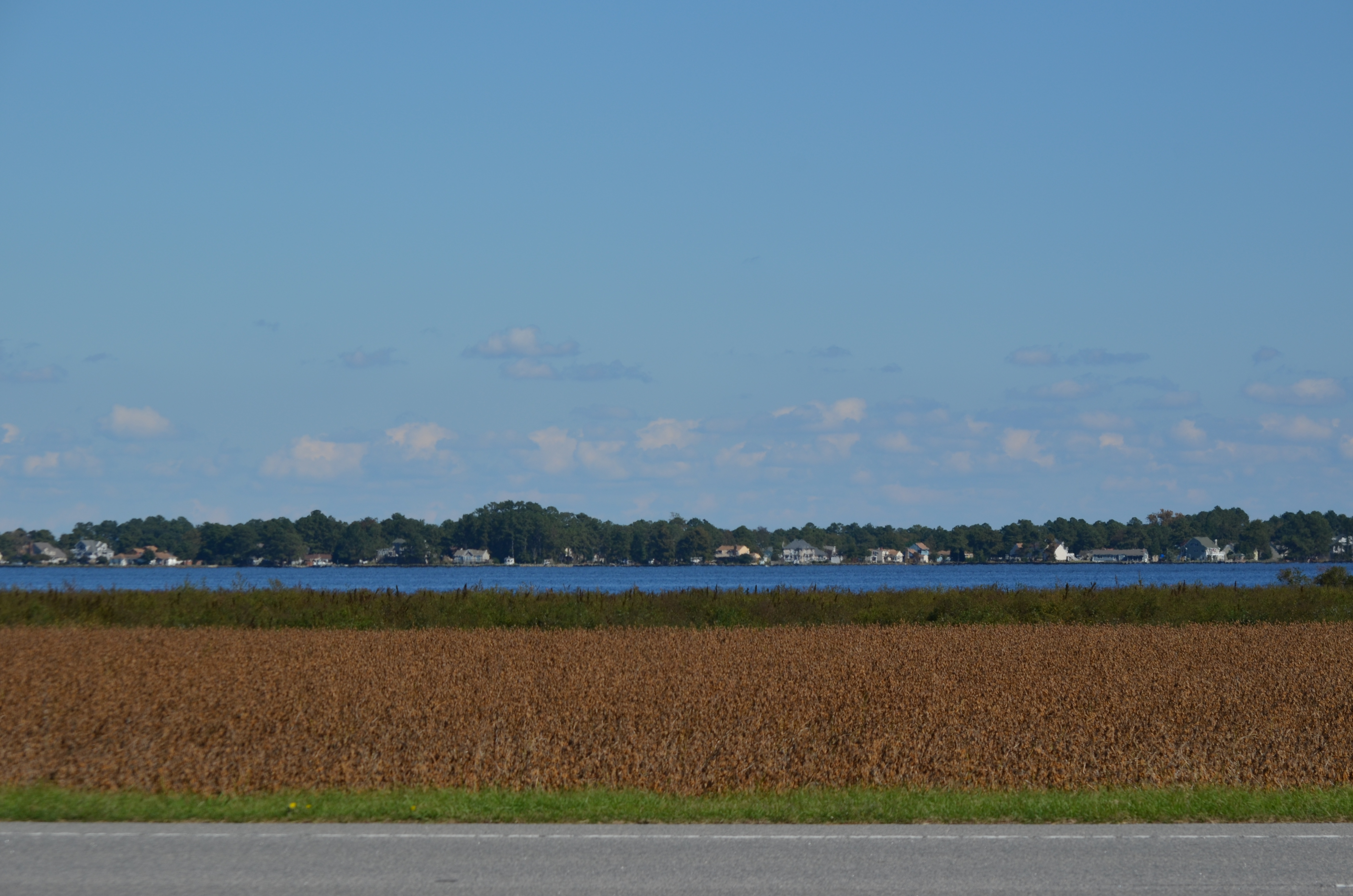
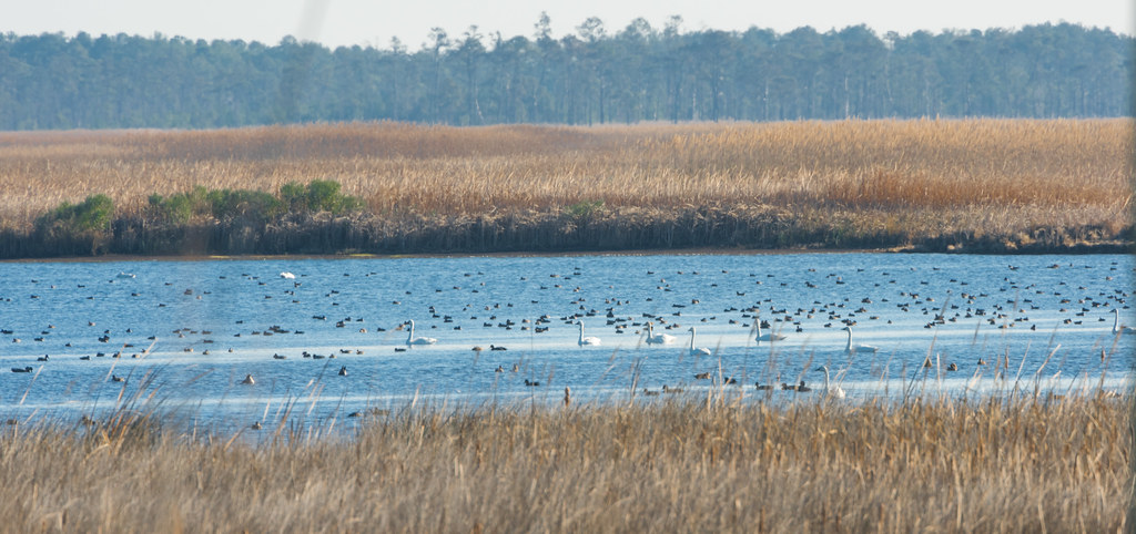
z2013-09-11 (22) Currituck County NC
2013-10-24 (33) chainsaw wood carving
Squirrels eye view
2013-10-24 - (21) Morris Farm Market
2013-10-24 - (22) Morris Farm Market
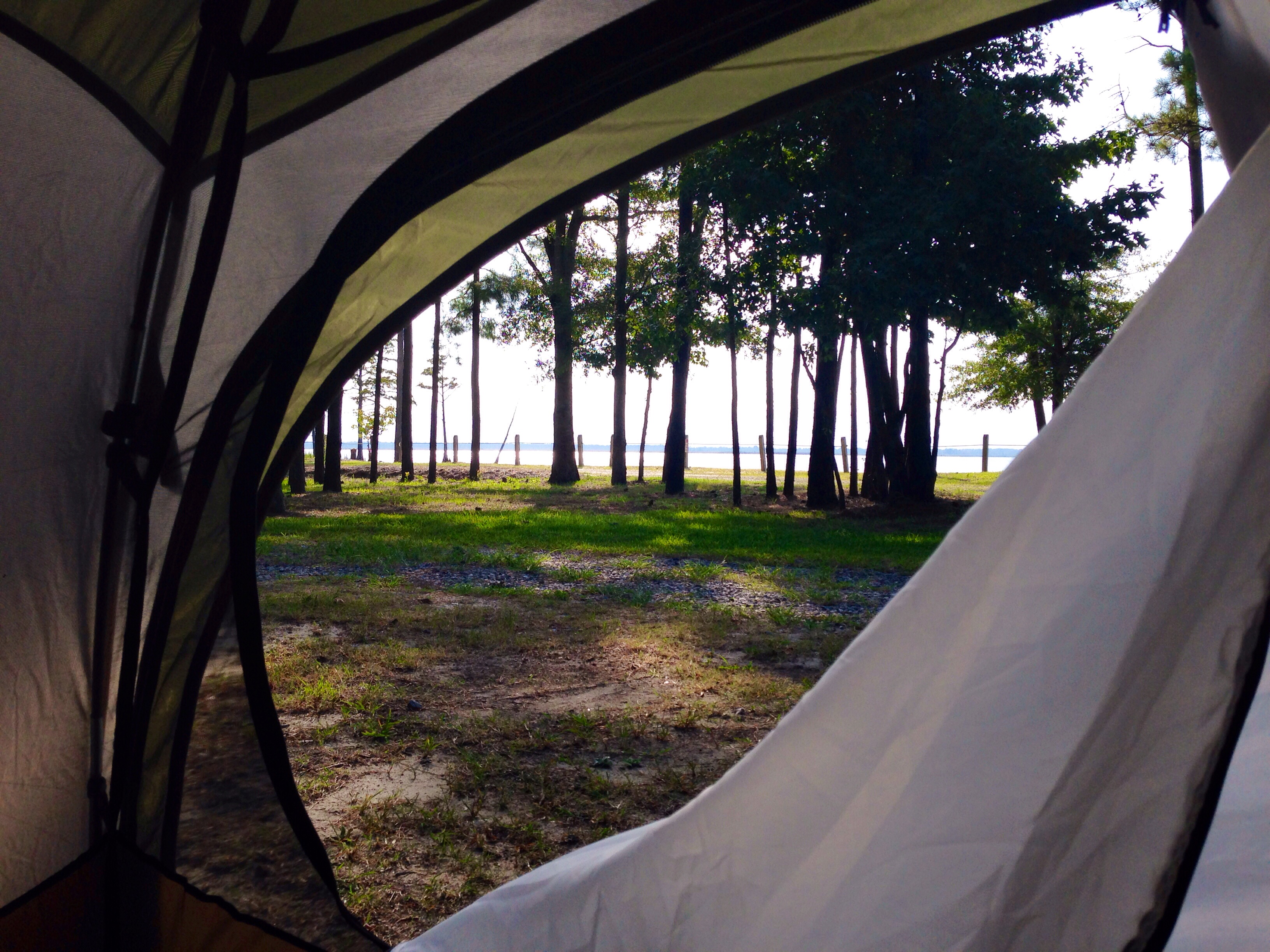
Labor Day Camping Trip - view from campsite
Blackwater 025
20080822 12-56-09WHB
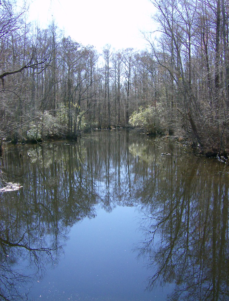
Sawyer's Creek

Storms moving through
Labor Day Camping Trip - Sunset from North Landing Beach
Last Days of Summer
20121215-DSC_0131.jpg

Outer Banks Trip
Caratoke Highway (North Carolina Highway 168), Currituck, North Carolina

Currituck High School Football

Knott's Island Camping Trip

Munden Point Park
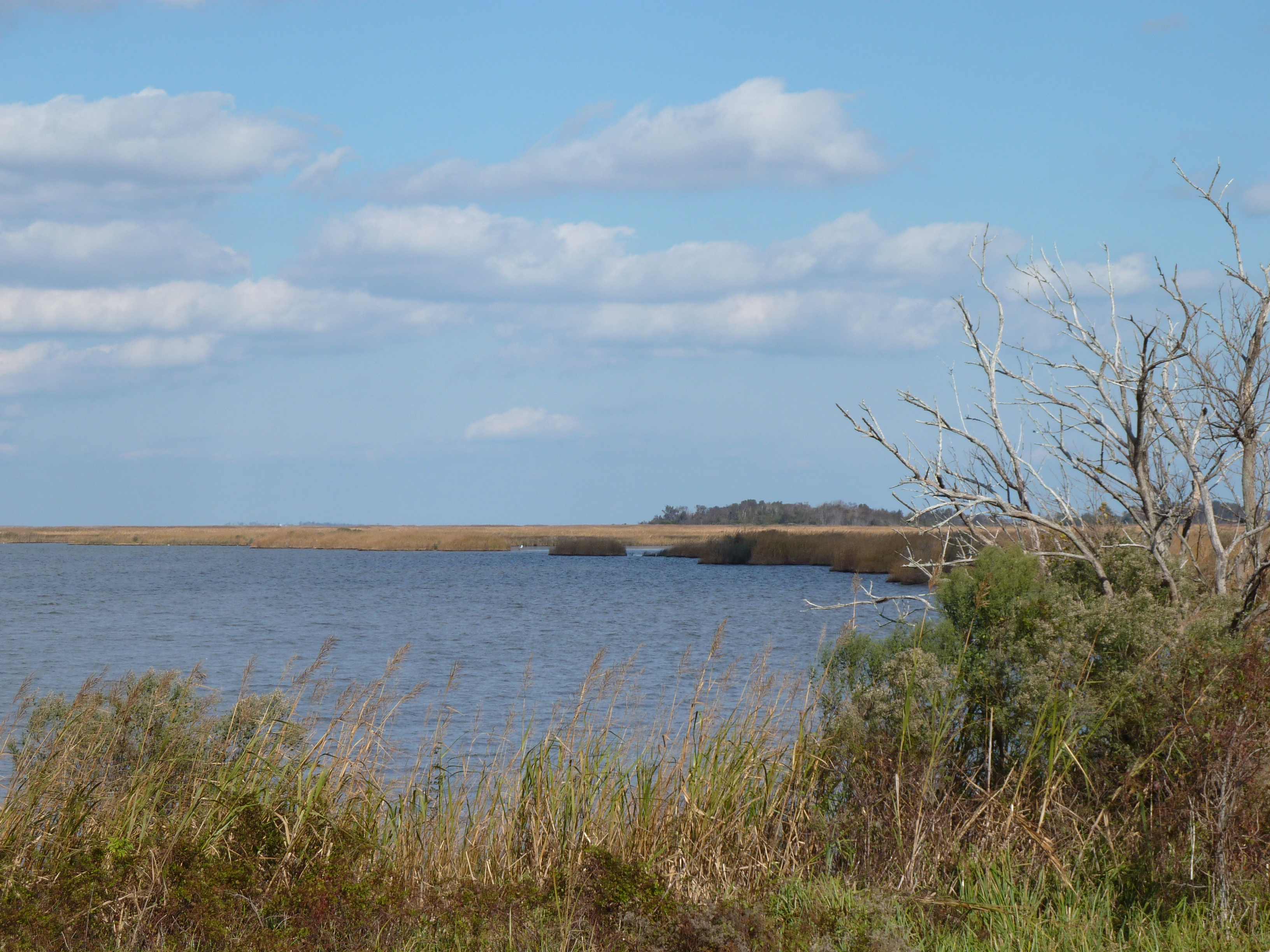
Back Bay Wildlife Refuge

Ocean music
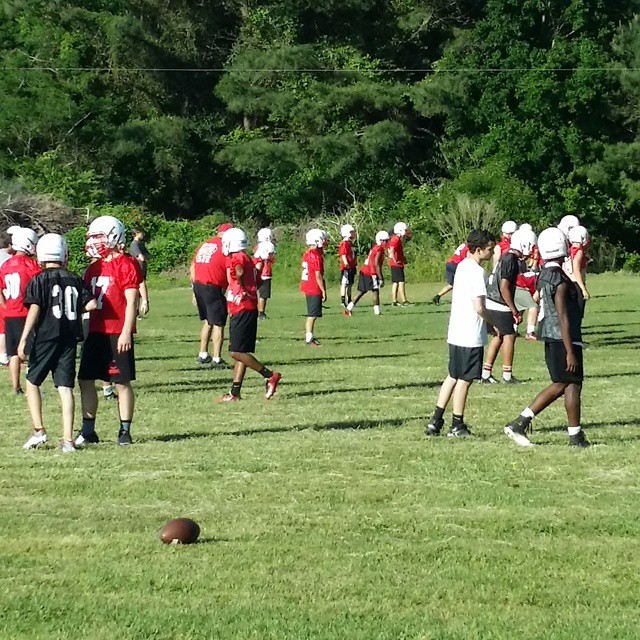
First day of Currituck spring FB practice. You know @currituckfb coach John Wheeler was excited. #nencsports
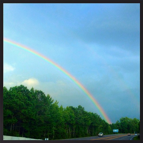
cray rainbow right before we arrived at the outer banks yesterday !

Sunset on the baseball field
Mackay Island National Wildlife Refuge
Topographic Map of Poyners Rd, Moyock, NC, USA
Find elevation by address:

Places near Poyners Rd, Moyock, NC, USA:
191 Arabian Ln
221 Poyners Rd
221 Poyners Rd
221 Poyners Rd
110 Creek Dr
567 Snowden Rd
Hastings Drive
101 Hastings Dr
Crawford
Elizabeth Circle
137 Travis Boulevard
184 Brumsey Rd
136 Travis Boulevard
120 Elizabeth Cir
147 Mariners Way
165 Mariners Way
177 Launch Landing Rd
283 Brumsey Rd
100 Carol Cir
103 Cameron Rd
Recent Searches:
- Elevation of Unnamed Road, Respublika Severnaya Osetiya — Alaniya, Russia
- Elevation of Verkhny Fiagdon, North Ossetia–Alania Republic, Russia
- Elevation of F. Viola Hiway, San Rafael, Bulacan, Philippines
- Elevation of Herbage Dr, Gulfport, MS, USA
- Elevation of Lilac Cir, Haldimand, ON N3W 2G9, Canada
- Elevation of Harrod Branch Road, Harrod Branch Rd, Kentucky, USA
- Elevation of Wyndham Grand Barbados Sam Lords Castle All Inclusive Resort, End of Belair Road, Long Bay, Bridgetown Barbados
- Elevation of Iga Trl, Maggie Valley, NC, USA
- Elevation of N Co Rd 31D, Loveland, CO, USA
- Elevation of Lindever Ln, Palmetto, FL, USA