Elevation of Latham, IL, USA
Location: United States > Illinois > Logan County > Laenna Township >
Longitude: -89.162309
Latitude: 39.9686517
Elevation: 187m / 614feet
Barometric Pressure: 99KPa
Elevation Map:
Satellite Map:
Related Photos:
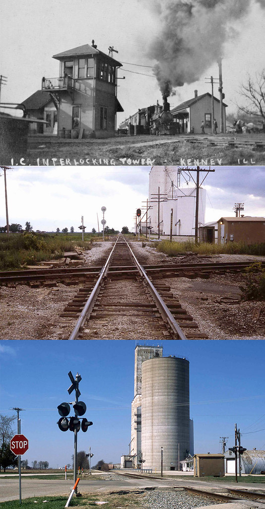
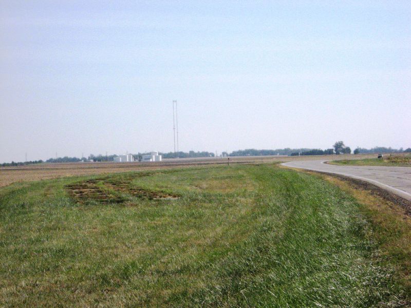
Illinois Central/Pennsylvania crossing, Kenney, Illinois

Harristown Depot - Pt. 1

NS #255 at Illiopolis - Pt. 2
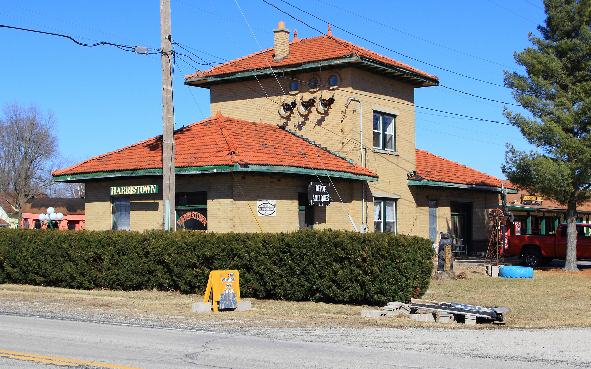
Harristown Depot - Pt. 2
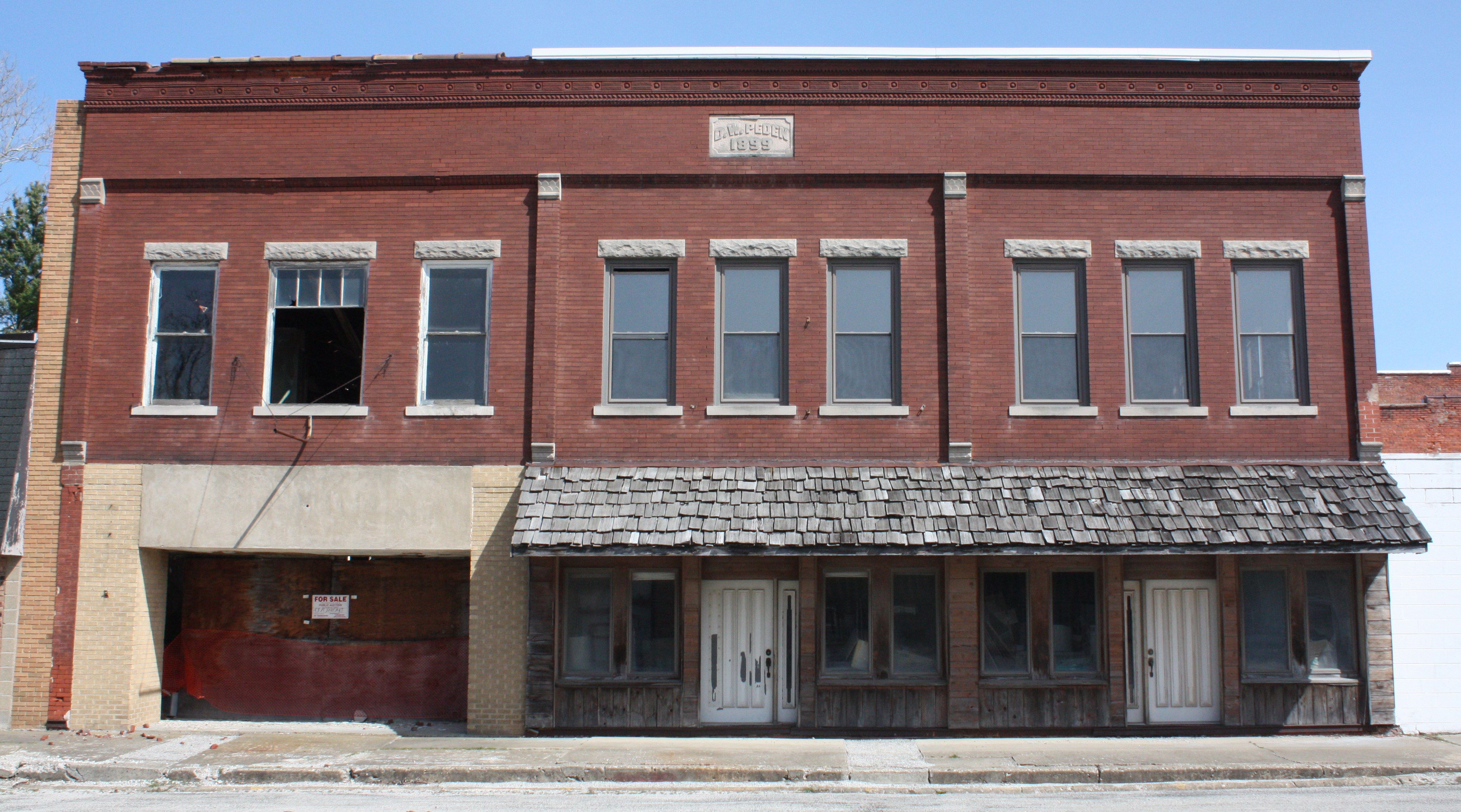
Illiopolis IL - Business District (12 of 20)

Sunset east of Illiopolis

Trumpeter Swans 001
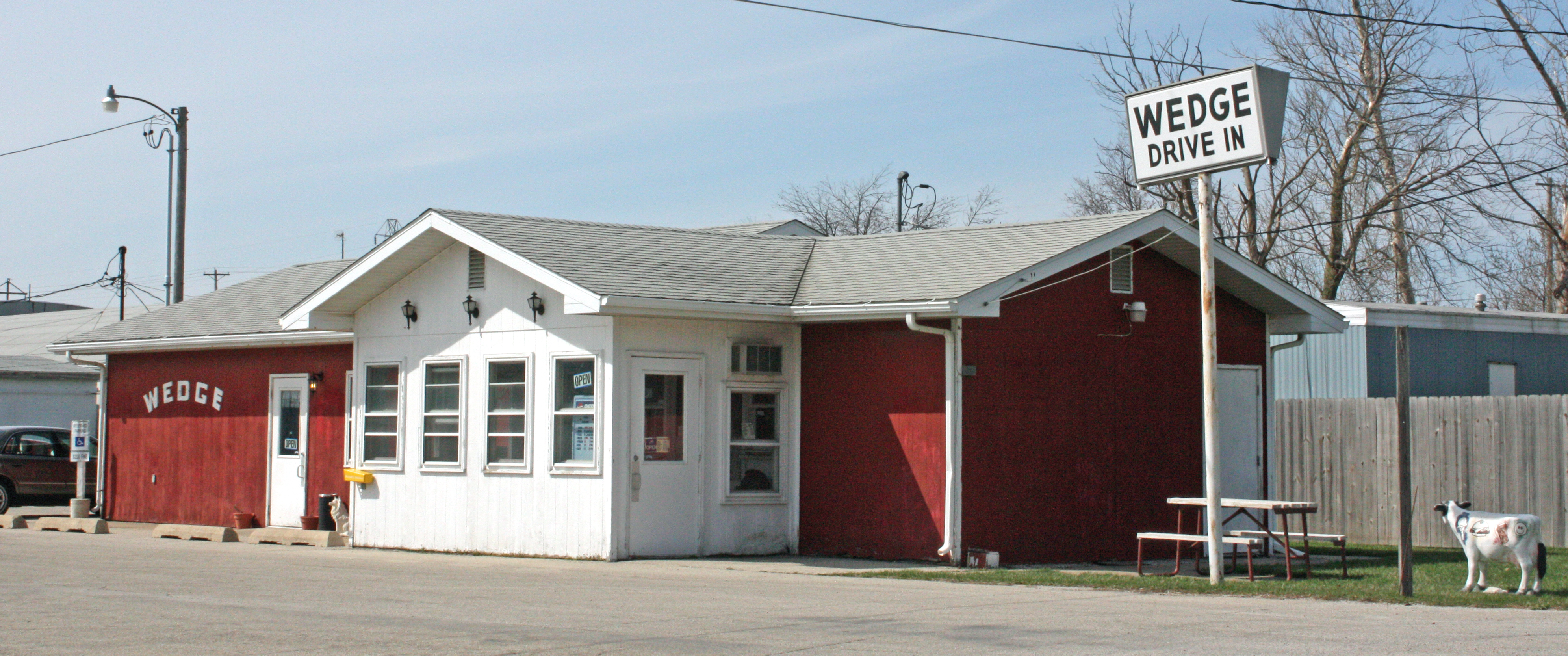
Illiopolis IL - Roadside Drive-In (20 of 20)

1009 Flag-SH
Ghost Road, Old US 36, Near Niantic, Illinois

Harvest Morning

Harvest Day
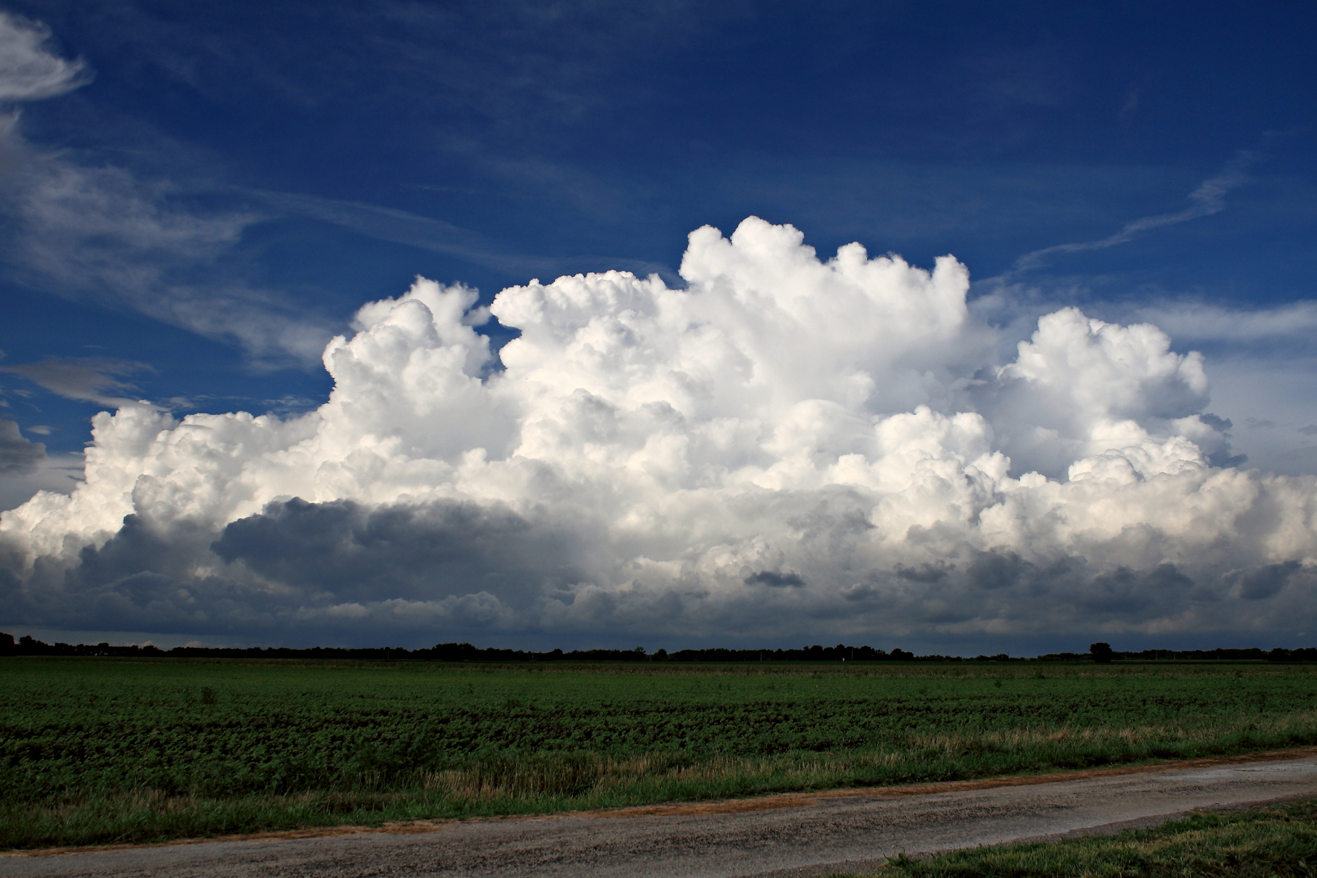
cumulus sky
Topographic Map of Latham, IL, USA
Find elevation by address:

Places in Latham, IL, USA:
Places near Latham, IL, USA:
E 4th St, Latham, IL, USA
Laenna Township
N Melvin St, Chestnut, IL, USA
Chestnut
932 2000 Ave
Illini Township
940 2000 Ave
Warrensburg
N Main St, Warrensburg, IL, USA
Niantic
Aetna Township
Mount Pulaski
220 S Lafayette St
Illiopolis Township
Illiopolis
5th St, Illiopolis, IL, USA
Illiopolis Village Hall
Tunbridge Township
Mount Pulaski Township
Co Rd 7, Kenney, IL, USA
Recent Searches:
- Elevation of Congressional Dr, Stevensville, MD, USA
- Elevation of Bellview Rd, McLean, VA, USA
- Elevation of Stage Island Rd, Chatham, MA, USA
- Elevation of Shibuya Scramble Crossing, 21 Udagawacho, Shibuya City, Tokyo -, Japan
- Elevation of Jadagoniai, Kaunas District Municipality, Lithuania
- Elevation of Pagonija rock, Kranto 7-oji g. 8"N, Kaunas, Lithuania
- Elevation of Co Rd 87, Jamestown, CO, USA
- Elevation of Tenjo, Cundinamarca, Colombia
- Elevation of Côte-des-Neiges, Montreal, QC H4A 3J6, Canada
- Elevation of Bobcat Dr, Helena, MT, USA