Elevation of Aetna Township, IL, USA
Location: United States > Illinois > Logan County >
Longitude: -89.189643
Latitude: 40.0809881
Elevation: 184m / 604feet
Barometric Pressure: 99KPa
Elevation Map:
Satellite Map:
Related Photos:
Illinois Central/Pennsylvania crossing, Kenney, Illinois
Train at sunset
Lincoln Christian College - Jessie C. Eury Library
IC/Pennsy Crossing, Midland City, Illinois

Falling leaves

Logan County Sunrise
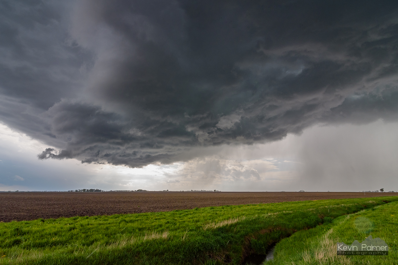
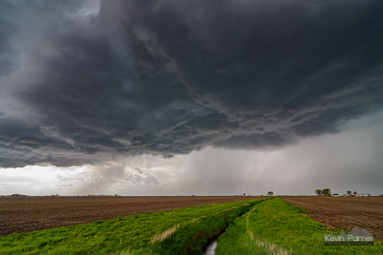
Outflow Overhead
Outflow and Ditch

Pickup, Barn, and Storm

Cutoff Rainbow

IMG_6634 internet

IMG_6646 internet

The Countryside at Little Galilee Christian Camp in Clinton, IL
Topographic Map of Aetna Township, IL, USA
Find elevation by address:

Places in Aetna Township, IL, USA:
Places near Aetna Township, IL, USA:
Beason
th Ave, Beason, IL, USA
Oran Township
Rejected Rock St, Clinton, IL, USA
Co Rd 7, Kenney, IL, USA
Kenney
N, Waynesville, IL, USA
Tunbridge Township
Barnett Township
E, Clinton, IL, USA
6210 N 500 East Rd
2192 County Rd 2175 E
Atlanta Township
IL-10, Clinton, IL, USA
5401 Hickory Manor Ln
Park Lane
Texas Township
45 Holiday Dr
E North Rd, Clinton, IL, USA
West Webster Street
Recent Searches:
- Elevation of Congressional Dr, Stevensville, MD, USA
- Elevation of Bellview Rd, McLean, VA, USA
- Elevation of Stage Island Rd, Chatham, MA, USA
- Elevation of Shibuya Scramble Crossing, 21 Udagawacho, Shibuya City, Tokyo -, Japan
- Elevation of Jadagoniai, Kaunas District Municipality, Lithuania
- Elevation of Pagonija rock, Kranto 7-oji g. 8"N, Kaunas, Lithuania
- Elevation of Co Rd 87, Jamestown, CO, USA
- Elevation of Tenjo, Cundinamarca, Colombia
- Elevation of Côte-des-Neiges, Montreal, QC H4A 3J6, Canada
- Elevation of Bobcat Dr, Helena, MT, USA