Elevation of Las Pulgas, Chubut, Argentina
Location: Argentina > Chubut Province > Río Senguer Department >
Longitude: -69.639454
Latitude: -45.451676
Elevation: 546m / 1791feet
Barometric Pressure: 95KPa
Elevation Map:
Satellite Map:
Related Photos:

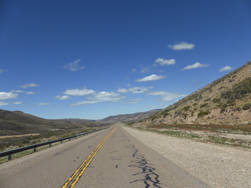
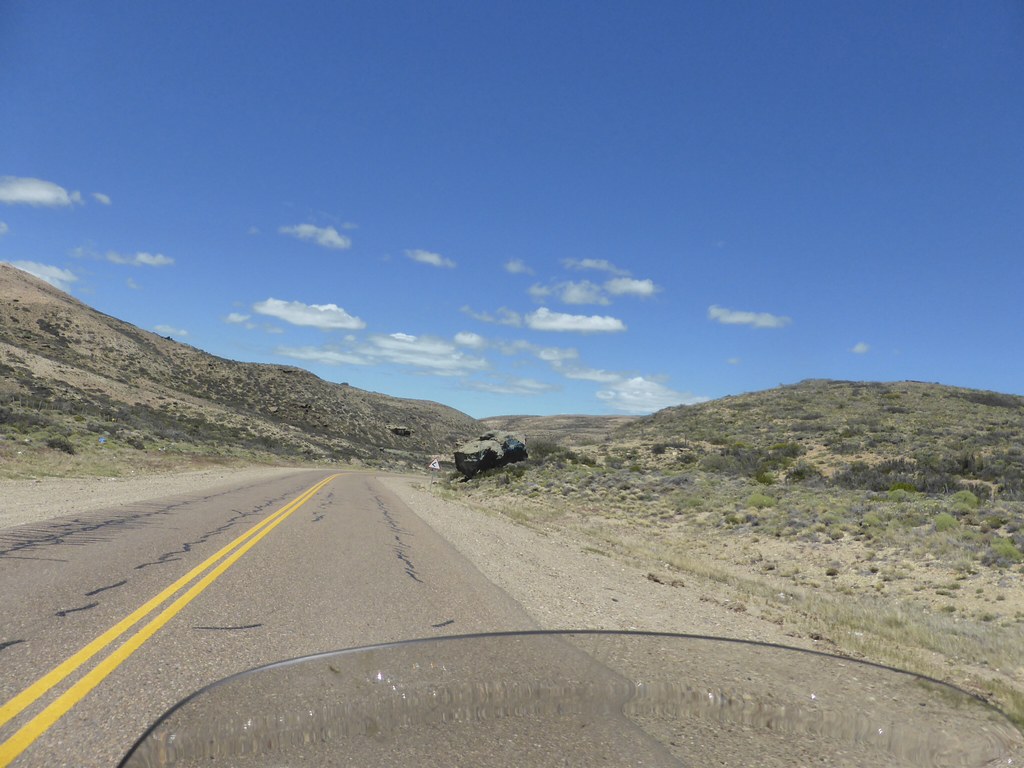
Argentina (Patagonia) [108]

16º dia. 30 de novembro.
16º dia. 30 de novembro.

16º dia. 30 de novembro.

16º dia. 30 de novembro.

16º dia. 30 de novembro.
16º dia. 30 de novembro.

16º dia. 30 de novembro.

16º dia. 30 de novembro.

El Chaltén
Topographic Map of Las Pulgas, Chubut, Argentina
Find elevation by address:

Places near Las Pulgas, Chubut, Argentina:
Recent Searches:
- Elevation of Lalagbene, Bayelsa, Nigeria
- Elevation of Ogbosuware Health Centre, 2WWJ+4PJ, Lalagbene, Bayelsa, Nigeria
- Elevation of Duckhorn Ct, Las Vegas, NV, USA
- Elevation of Garretts Run Rd, Ford City, PA, USA
- Elevation of N WI-55, Freedom, WI, USA
- Elevation map of Hadiya, Ethiopia
- Elevation of Hosaina, Ethiopia
- Elevation of Verde Terrace, North Port, FL, USA
- Elevation of US-, Leesburg, FL, USA
- Elevation of Summit Dr, Kerrville, TX, USA