Elevation of Facundo, Chubut Province, Argentina
Location: Argentina > Chubut Province > Río Senguer Department >
Longitude: -69.973948
Latitude: -45.311788
Elevation: 439m / 1440feet
Barometric Pressure: 96KPa
Elevation Map:
Satellite Map:
Related Photos:

Rio Senguerr

El Chaltén

16º dia. 30 de novembro.

16º dia. 30 de novembro.

16º dia. 30 de novembro.

16º dia. 30 de novembro.
16º dia. 30 de novembro.

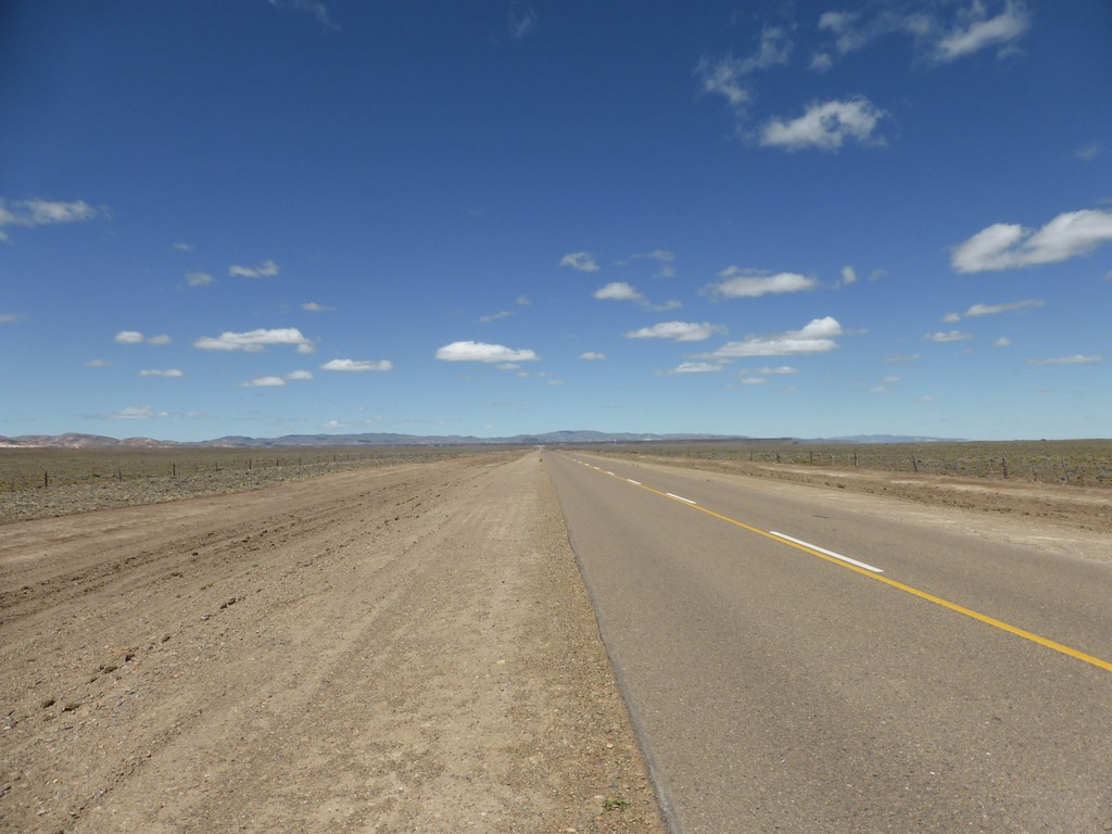
Ruta 40 Argentina
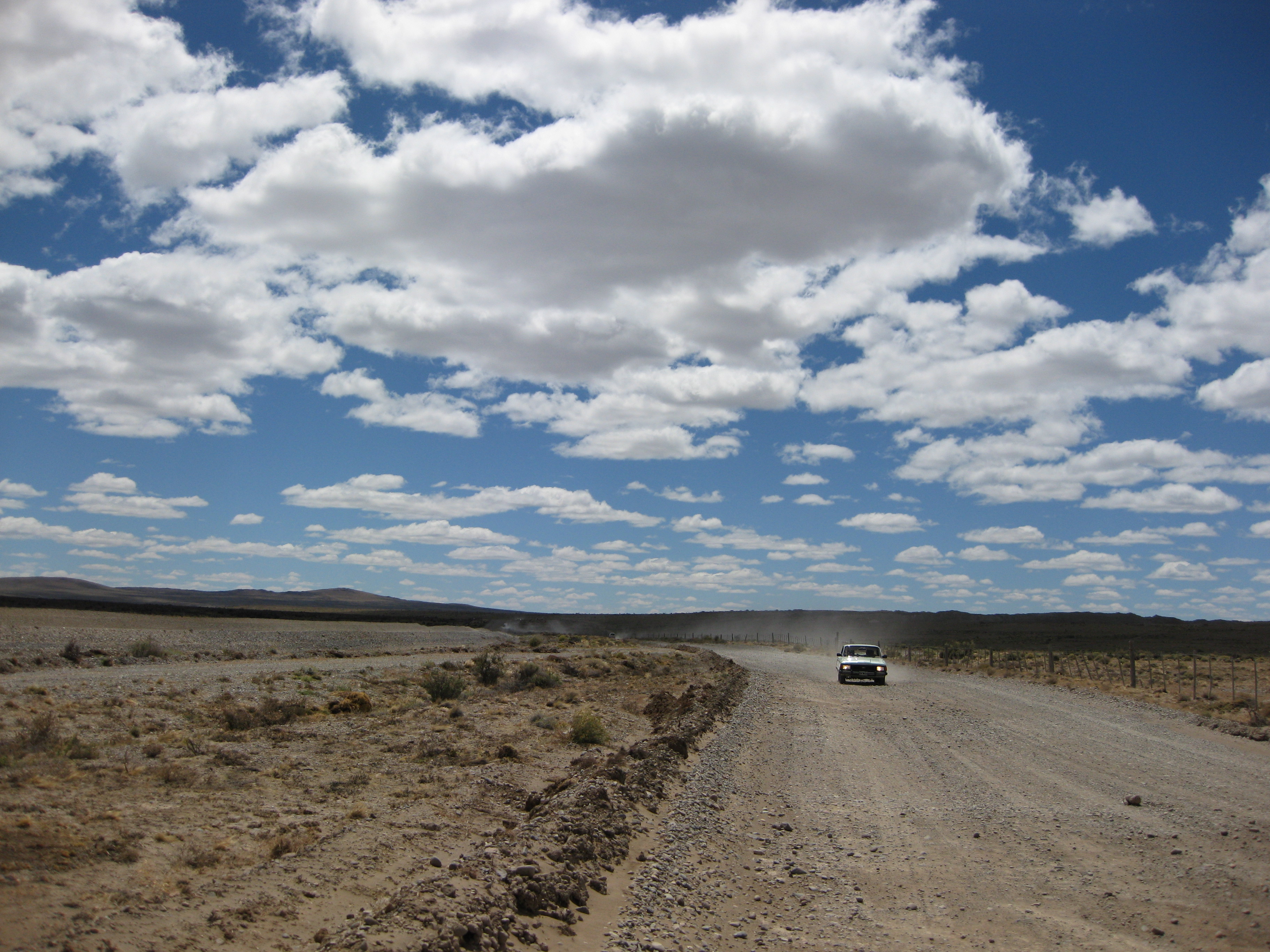
Carretera de ripio. Direccion, Rio Mayo.Chubut.
Topographic Map of Facundo, Chubut Province, Argentina
Find elevation by address:

Places near Facundo, Chubut Province, Argentina:
Recent Searches:
- Elevation of S Layton Cir W, Layton, UT, USA
- Elevation of F36W+3M, Mussoorie, Uttarakhand, India
- Elevation of Fairland Ave, Fairhope, AL, USA
- Elevation of Sunset Dr, Richmond, VA, USA
- Elevation of Grodna District, Hrodna Region, Belarus
- Elevation of Hrodna, Hrodna Region, Belarus
- Elevation of Sandia Derby Estates, Tijeras, NM, USA
- Elevation of 23 Sunrise View Ct, Tijeras, NM, USA
- Elevation of Lytham Ln, Katy, TX, USA
- Elevation of Tater Hill, Oklahoma, USA