Elevation of Larue Rd, Mountainburg, AR, USA
Location: United States > Arkansas > Crawford County > Mountainburg Township > Mountainburg >
Longitude: -94.192067
Latitude: 35.6187239
Elevation: 270m / 886feet
Barometric Pressure: 98KPa
Elevation Map:
Satellite Map:
Related Photos:
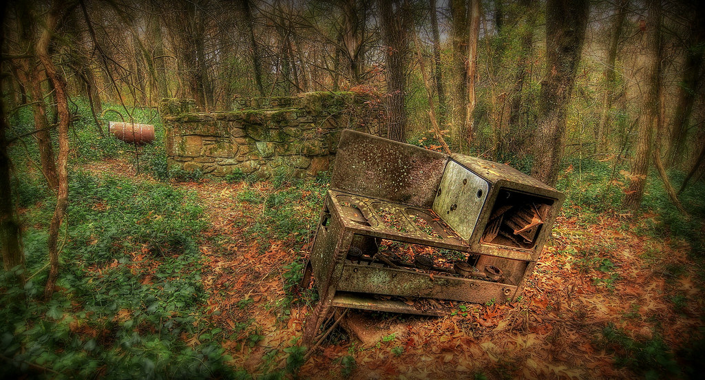
backyard cookout

Frog Bayou Side View

Hurricane Creek-Side View
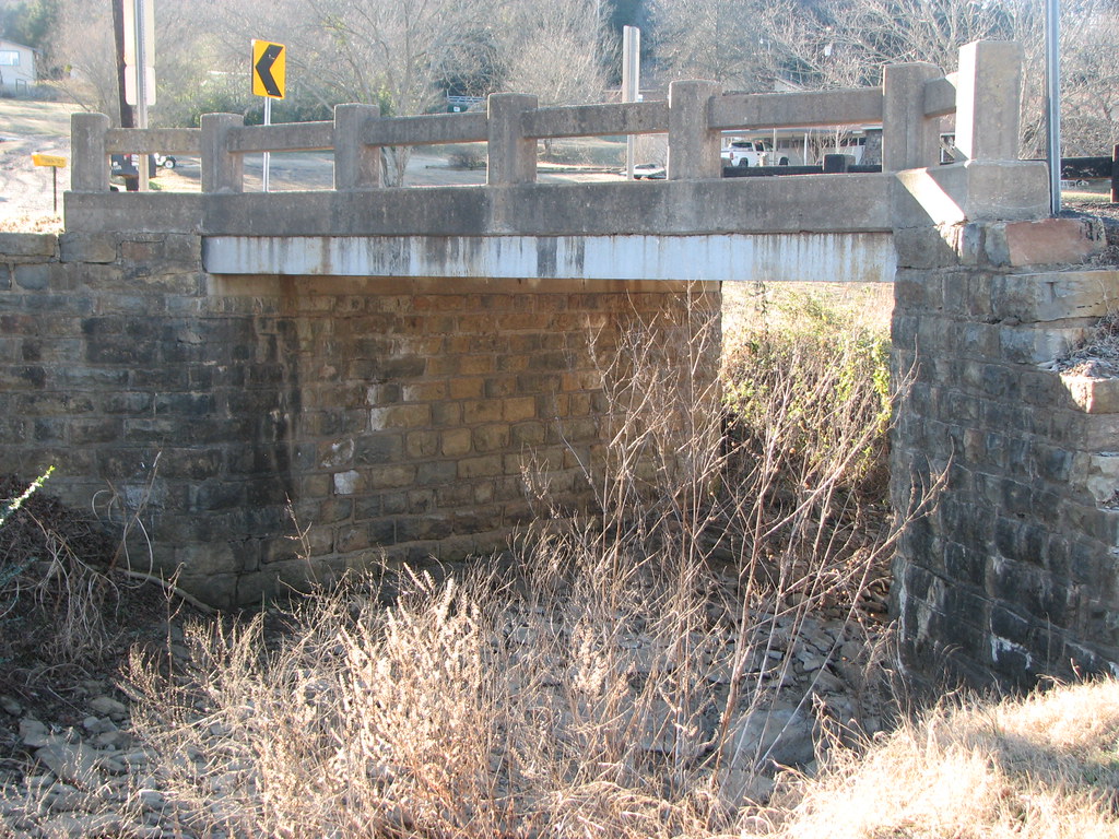
AR 282 Bridge- Side Below
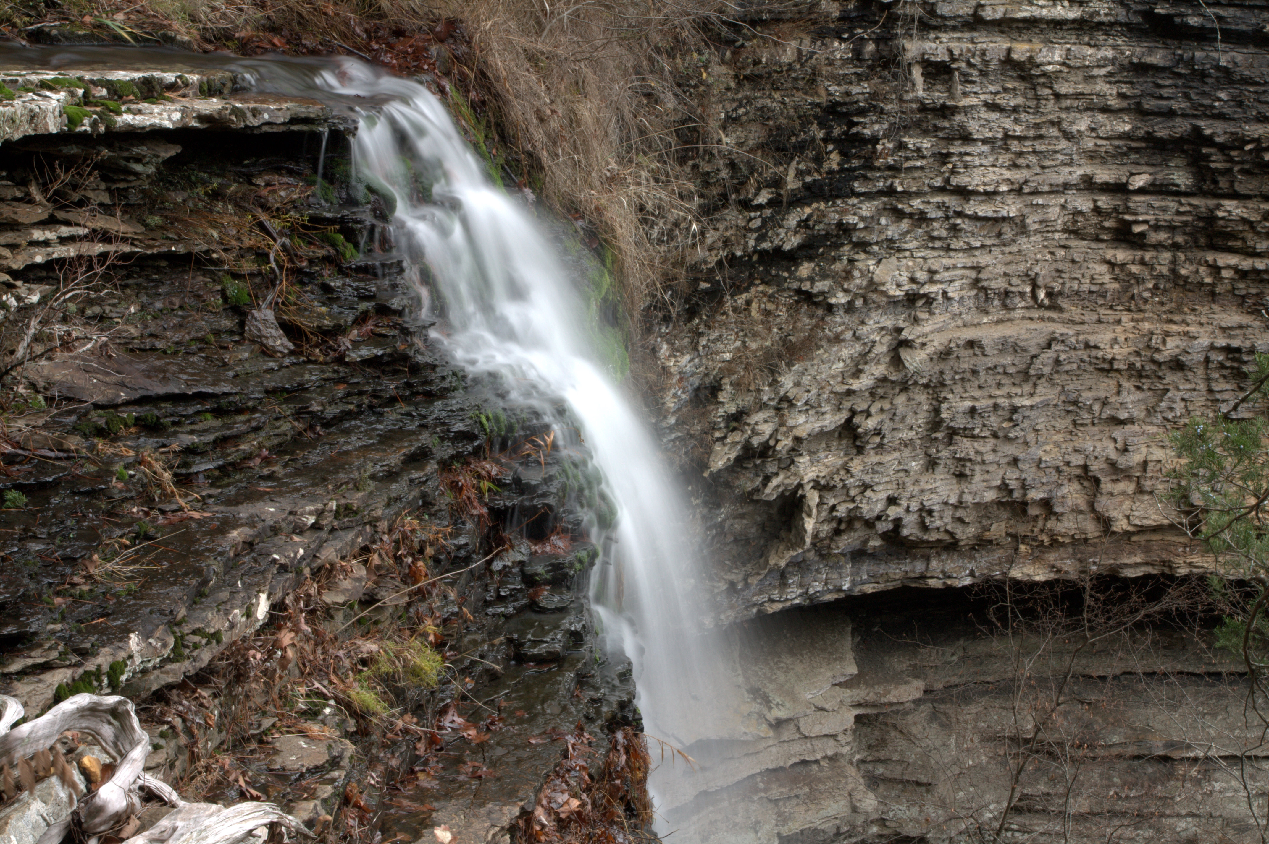
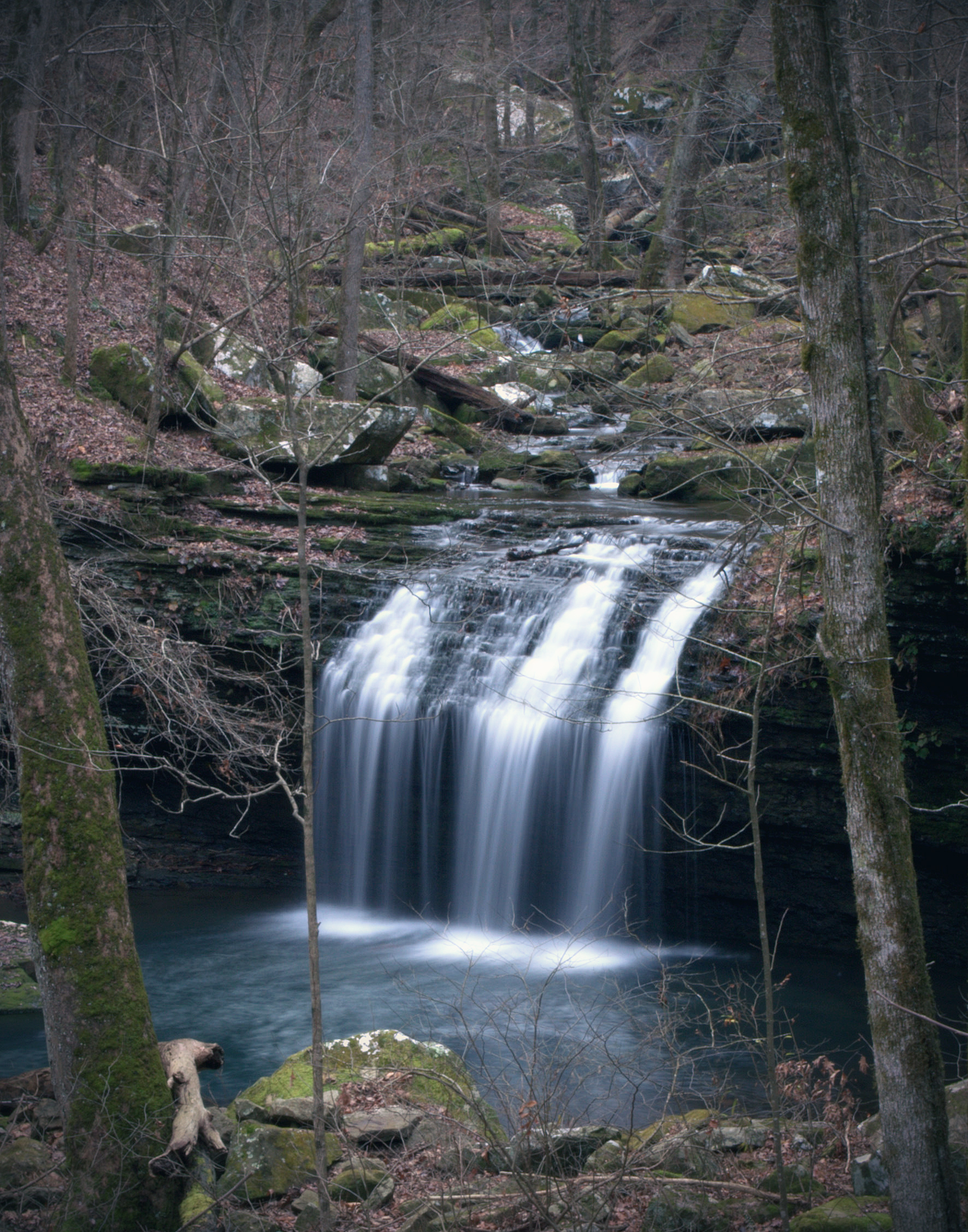
Devil's Canyon Falls (side)
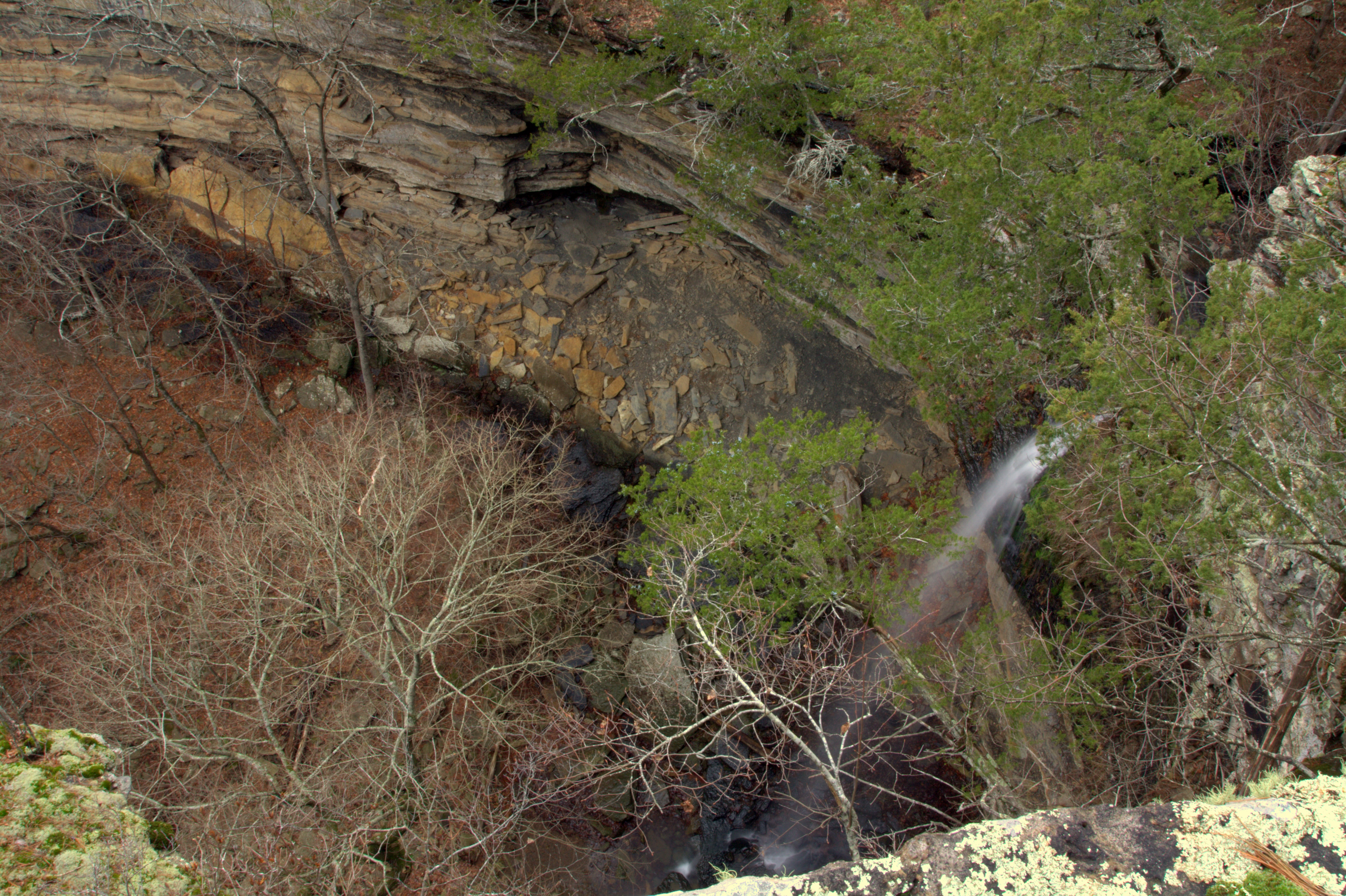
Devil's Canyon Falls (above)
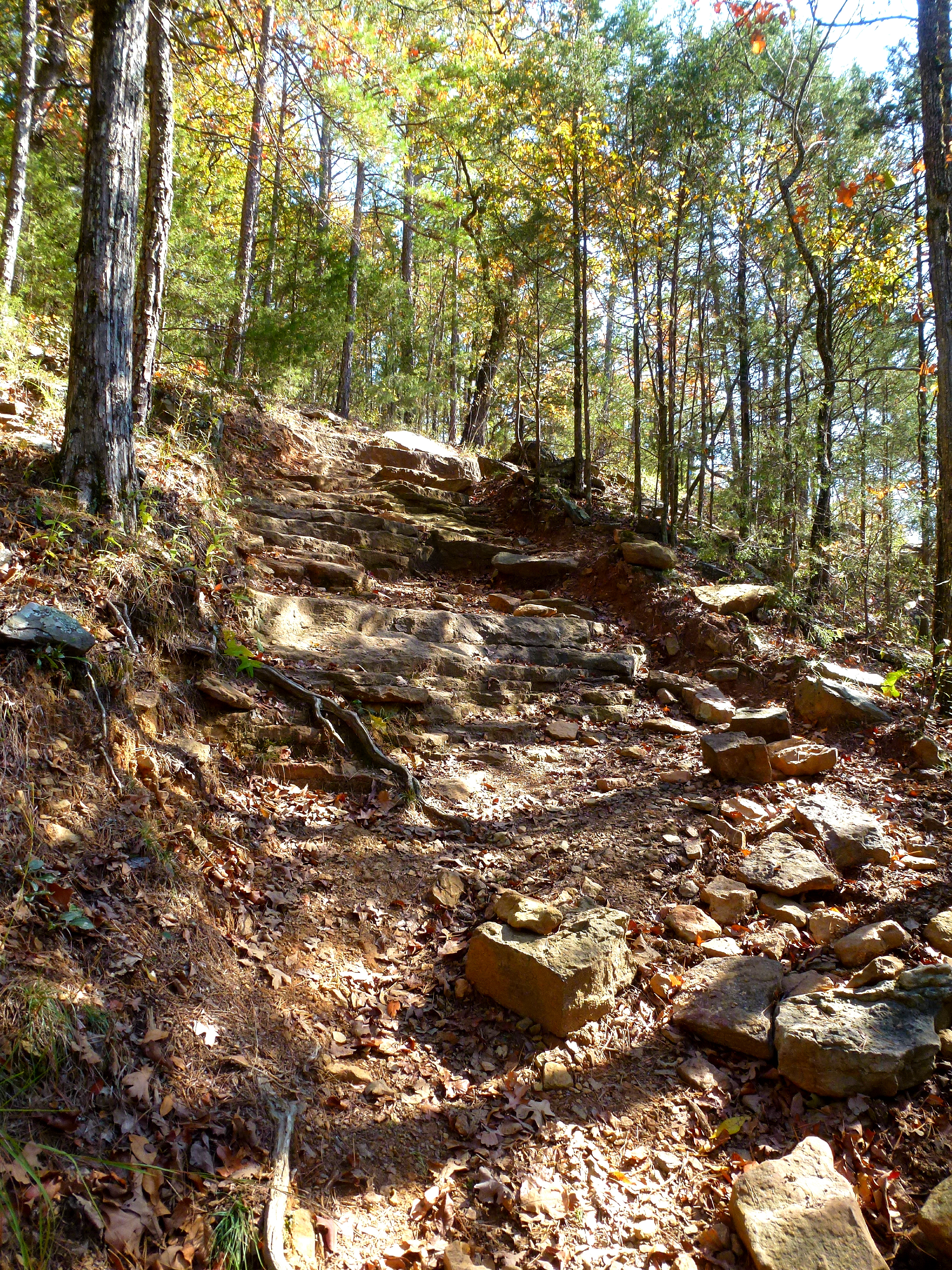
Rough Trail
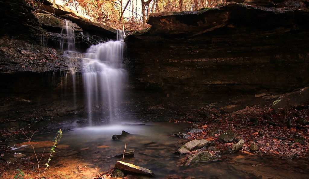
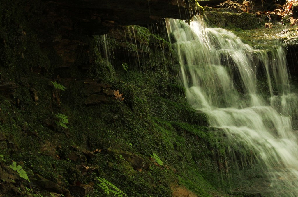
McWater Falls (really)
Deep Thought, Artist Point
Devils Hollow Mulberry, Arkansas
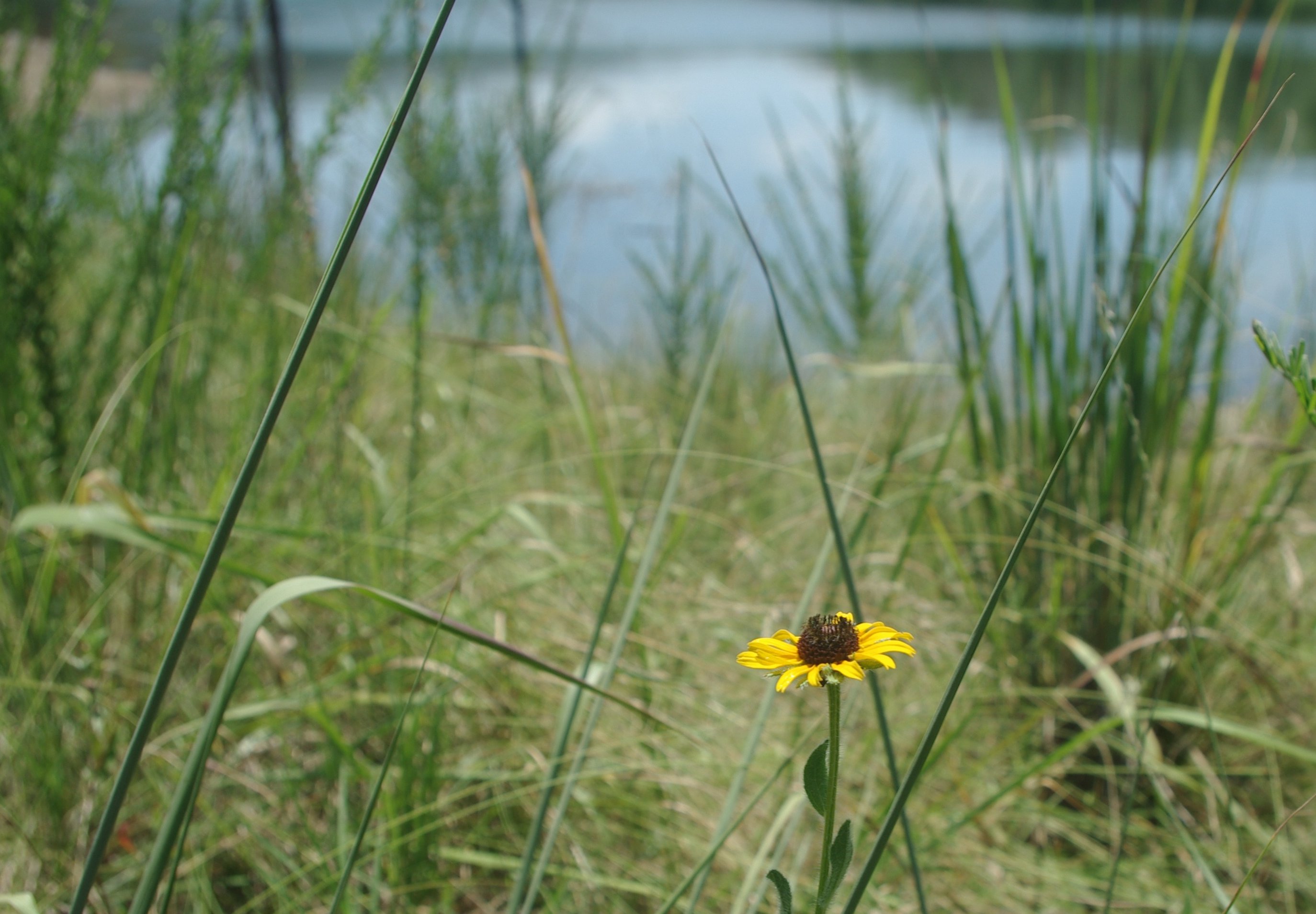
Lonely blossom
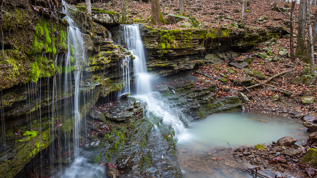
Artist Point Falls
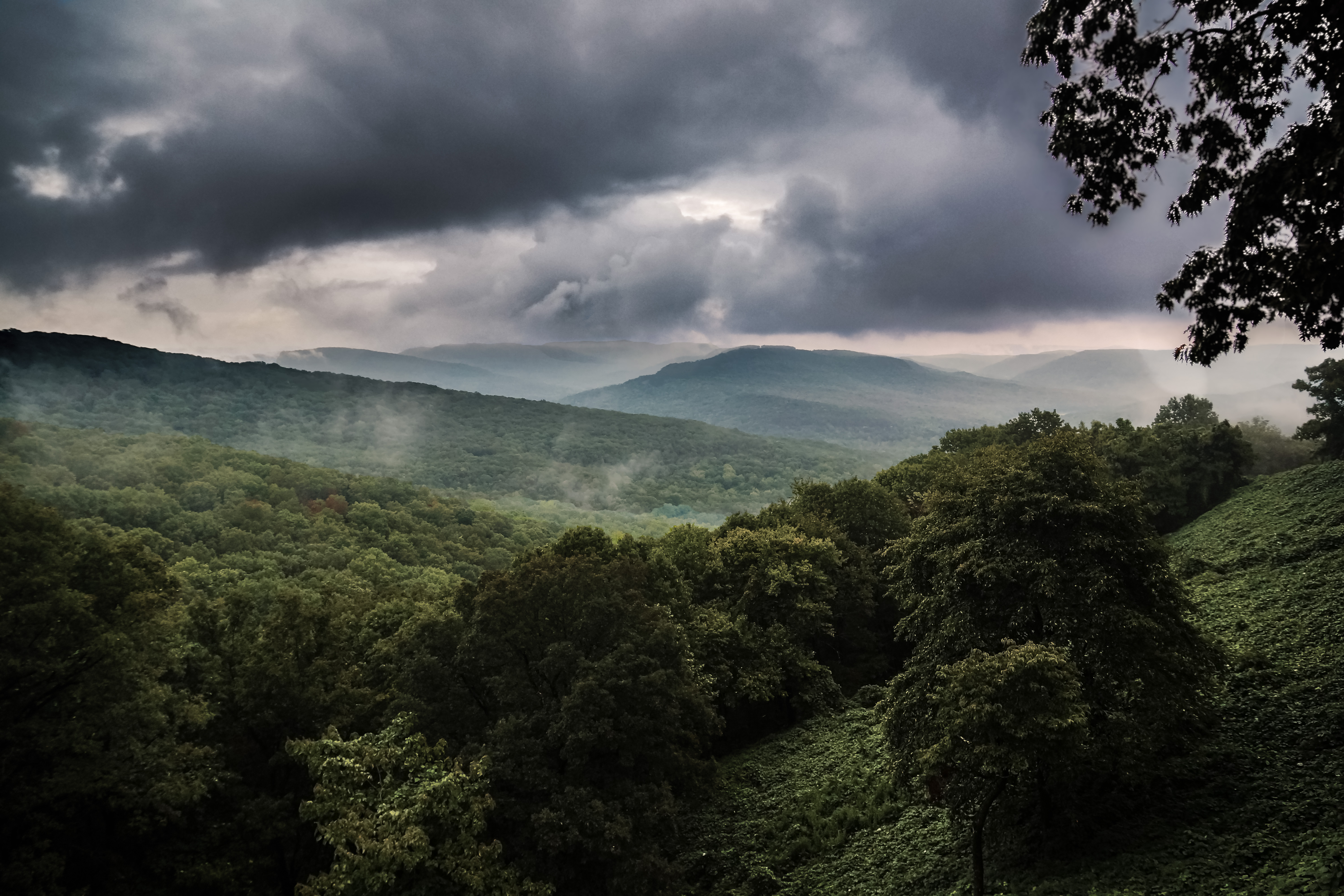
OZARK MOUNTAINS
Lower unnamed falls #1 of Winfrey Valley
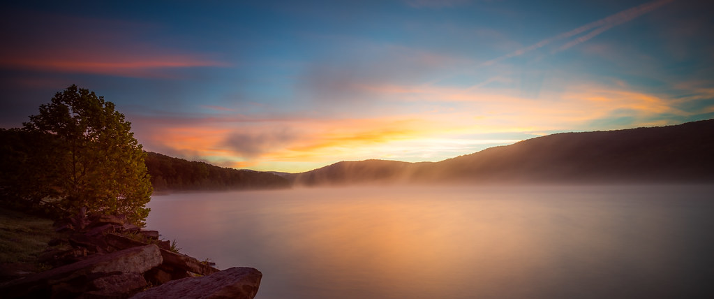
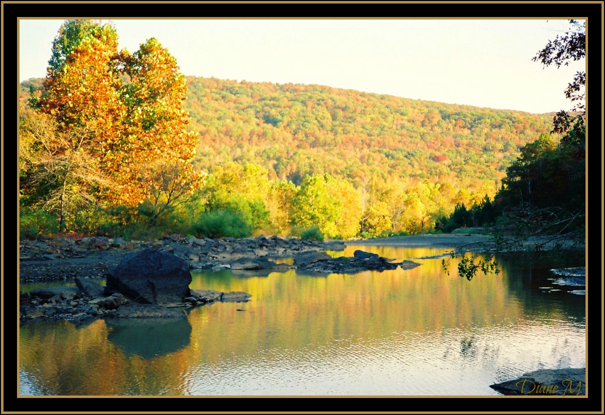
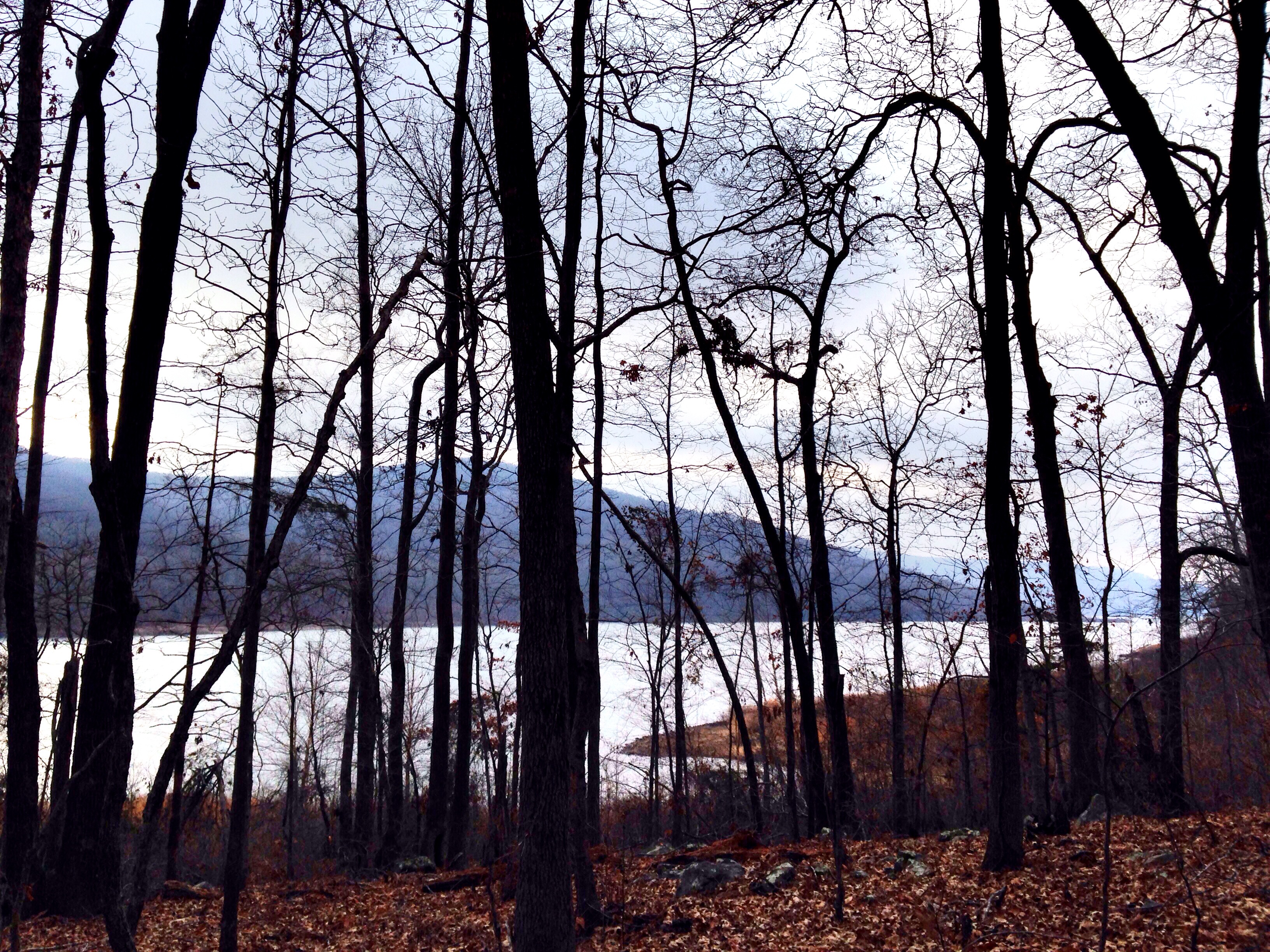
Lake Ft. Smith

20081225_0246.jpg
Lake Fort Smith State Park
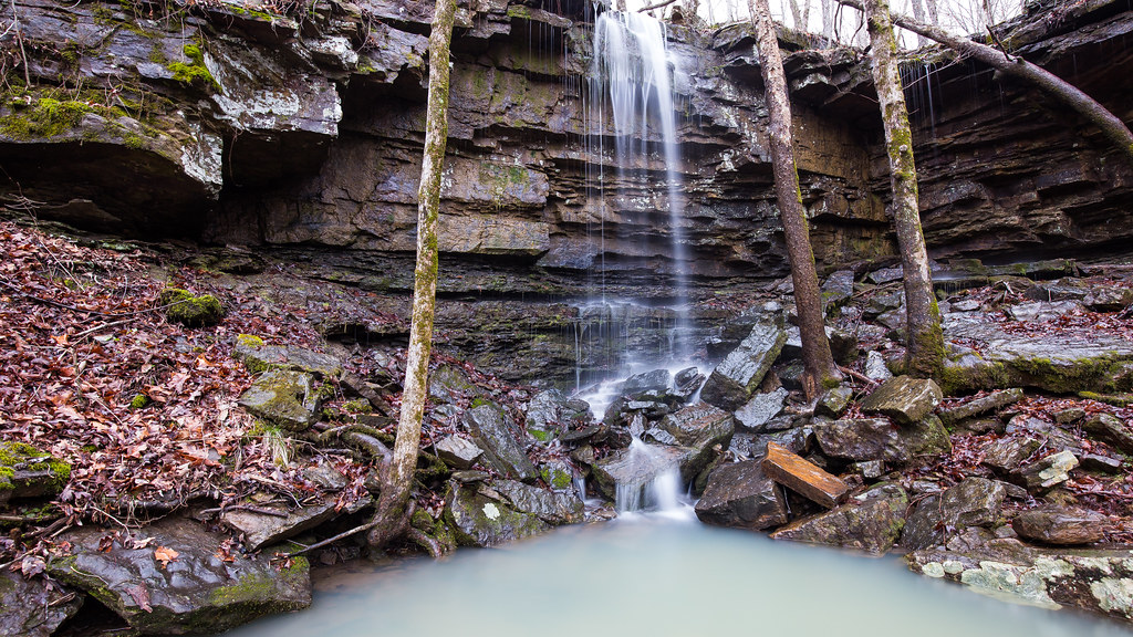
Upper unnamed falls #1 of Winfrey Valley
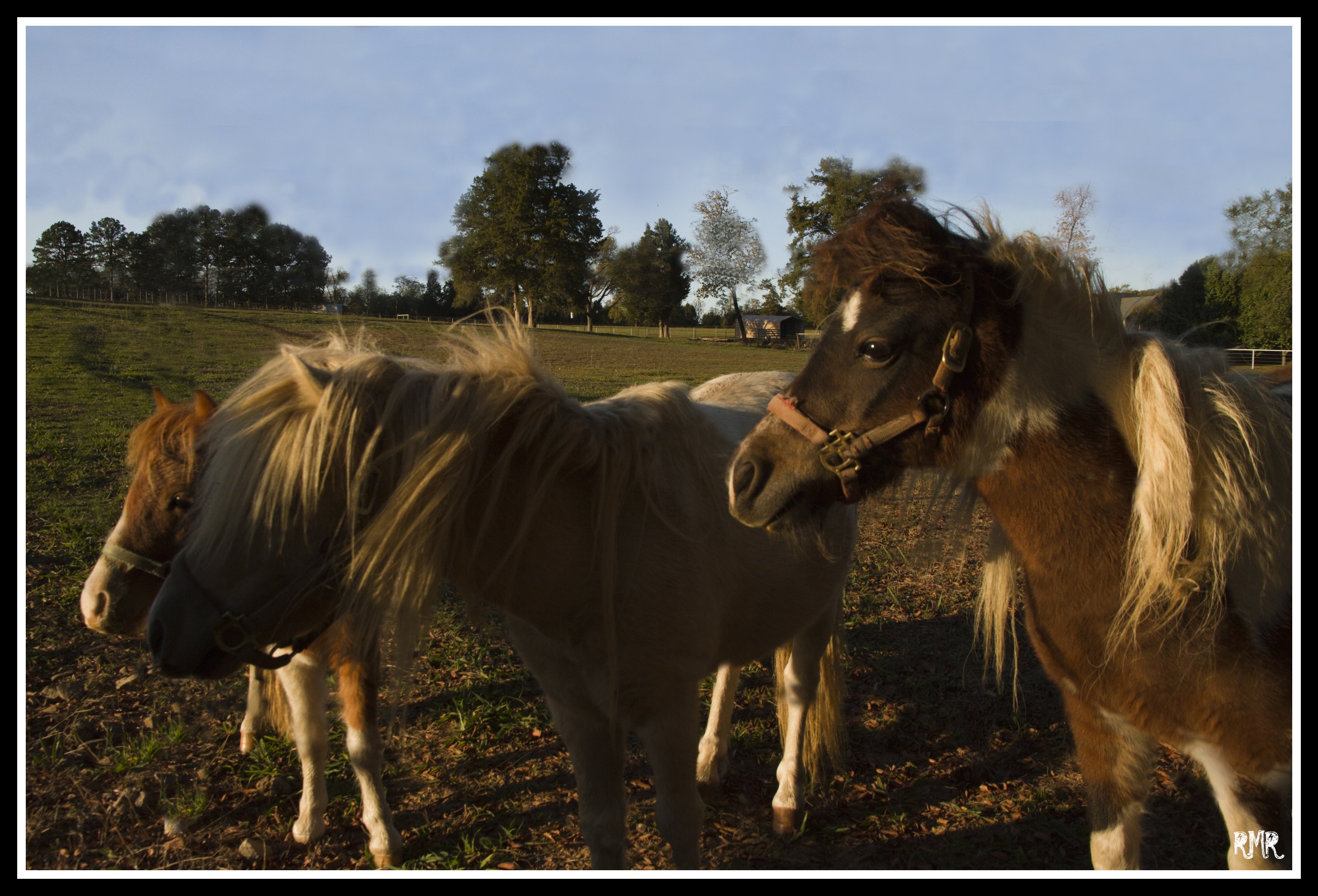
Three Amigos

Balckburn Creek
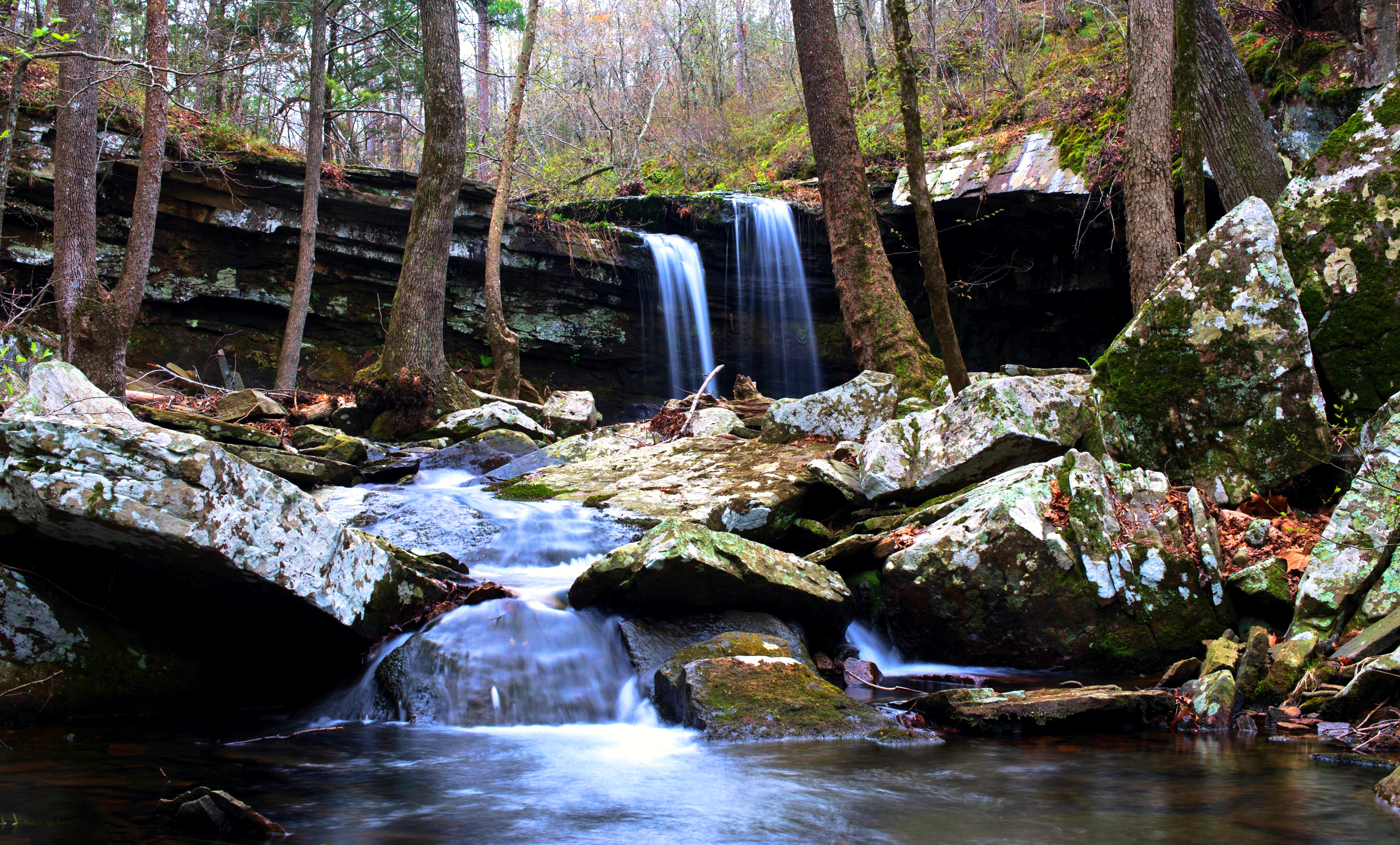
Unnamed Falls of Devil's Canyon

Unnamed Falls (V Rock)

DSC00117.jpg
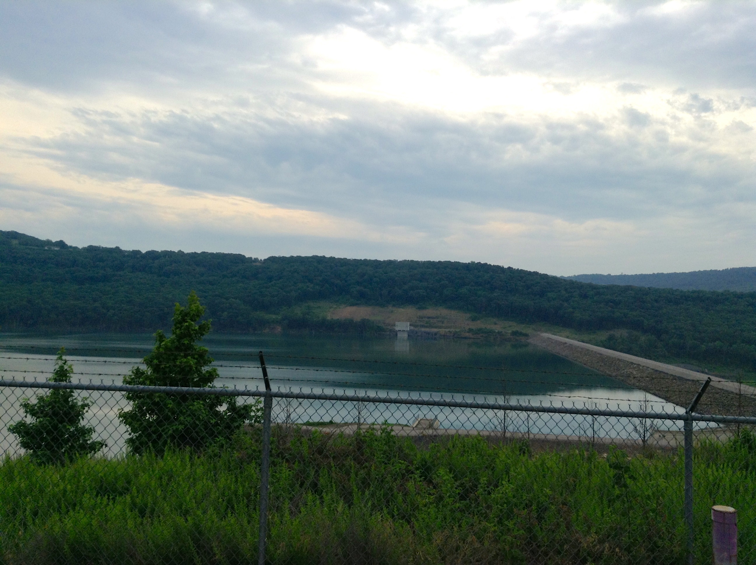
Lake Fort Smith

iPhone 5 pic of where I am right now
Topographic Map of Larue Rd, Mountainburg, AR, USA
Find elevation by address:

Places near Larue Rd, Mountainburg, AR, USA:
Mountainburg Township
Mountainburg
US-71, Mountainburg, AR, USA
9301 Rackley Mountain Rd
1000 Serviceberry Rd
2109 Hickory St
846 E Rumpus Ridge Rd
Chester
1508 Dow Jones Rd
Dickson, Chester, AR, USA
Chester
Piney Rd, Mulberry, AR, USA
Miller Township
934 Mulberry Wire Rd
15620 Maxey Hill Rd
Mulberry
7347 Hickory Ridge Rd
5318 Us-64
Scenic View Drive
Wire Rd, Ozark, AR, USA
Recent Searches:
- Elevation of Elwyn Dr, Roanoke Rapids, NC, USA
- Elevation of Congressional Dr, Stevensville, MD, USA
- Elevation of Bellview Rd, McLean, VA, USA
- Elevation of Stage Island Rd, Chatham, MA, USA
- Elevation of Shibuya Scramble Crossing, 21 Udagawacho, Shibuya City, Tokyo -, Japan
- Elevation of Jadagoniai, Kaunas District Municipality, Lithuania
- Elevation of Pagonija rock, Kranto 7-oji g. 8"N, Kaunas, Lithuania
- Elevation of Co Rd 87, Jamestown, CO, USA
- Elevation of Tenjo, Cundinamarca, Colombia
- Elevation of Côte-des-Neiges, Montreal, QC H4A 3J6, Canada