Elevation of Hickory St, Mountainburg, AR, USA
Location: United States > Arkansas > Crawford County > Mountainburg Township > Mountainburg >
Longitude: -94.149674
Latitude: 35.6362
Elevation: 468m / 1535feet
Barometric Pressure: 96KPa
Elevation Map:
Satellite Map:
Related Photos:
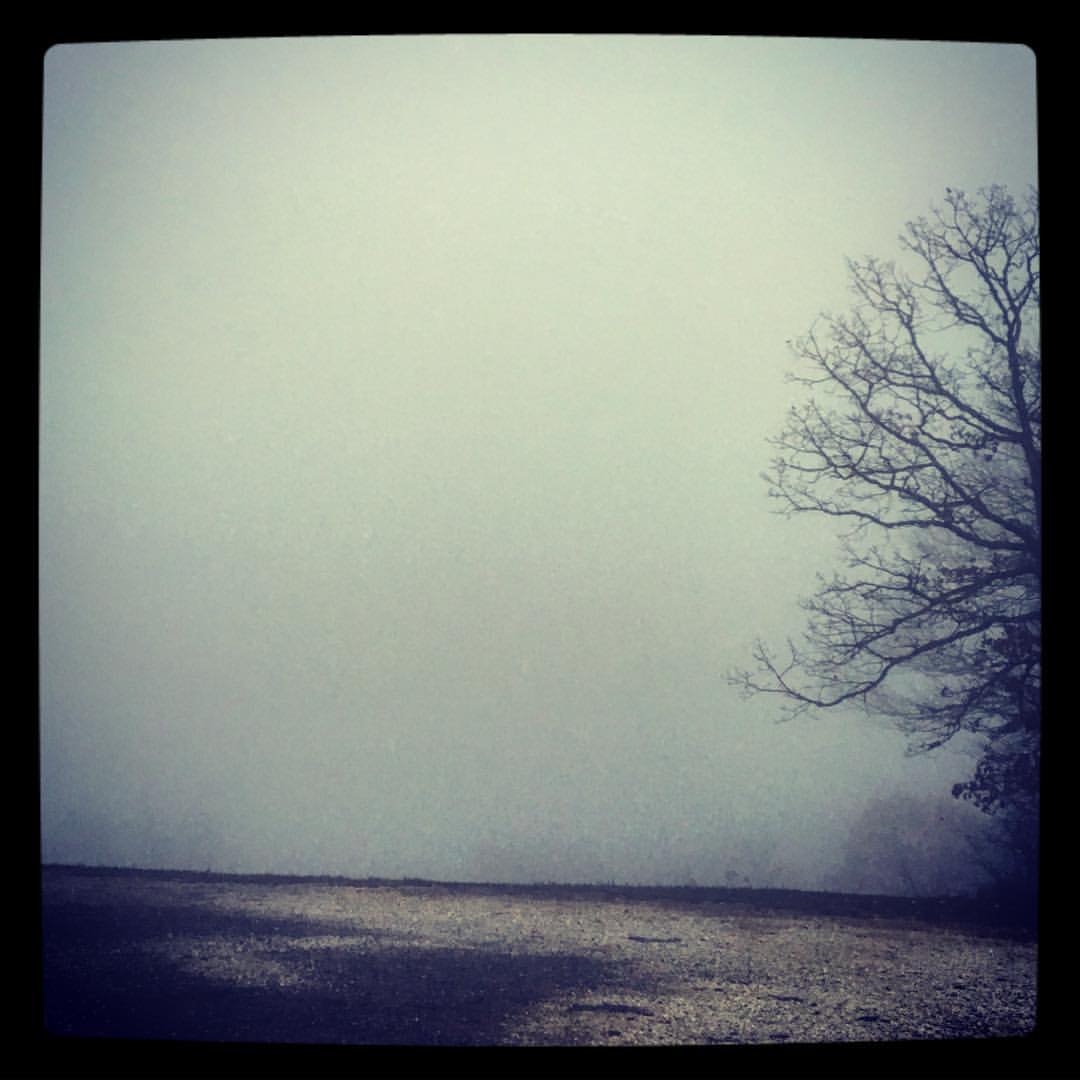
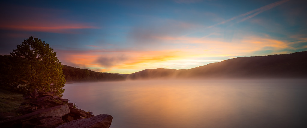
took the scenic route from Fayetteville to Ft. Smith so I could stop and take in my favorite view -- I got this fog and a scary drive instead. ????
Almost home... My jammies are calling. #triptophilly

View of the Mulberry River from Silver Bridge

Hurricane Creek-Side View

Frog Bayou Side View
Sun hitting the mist
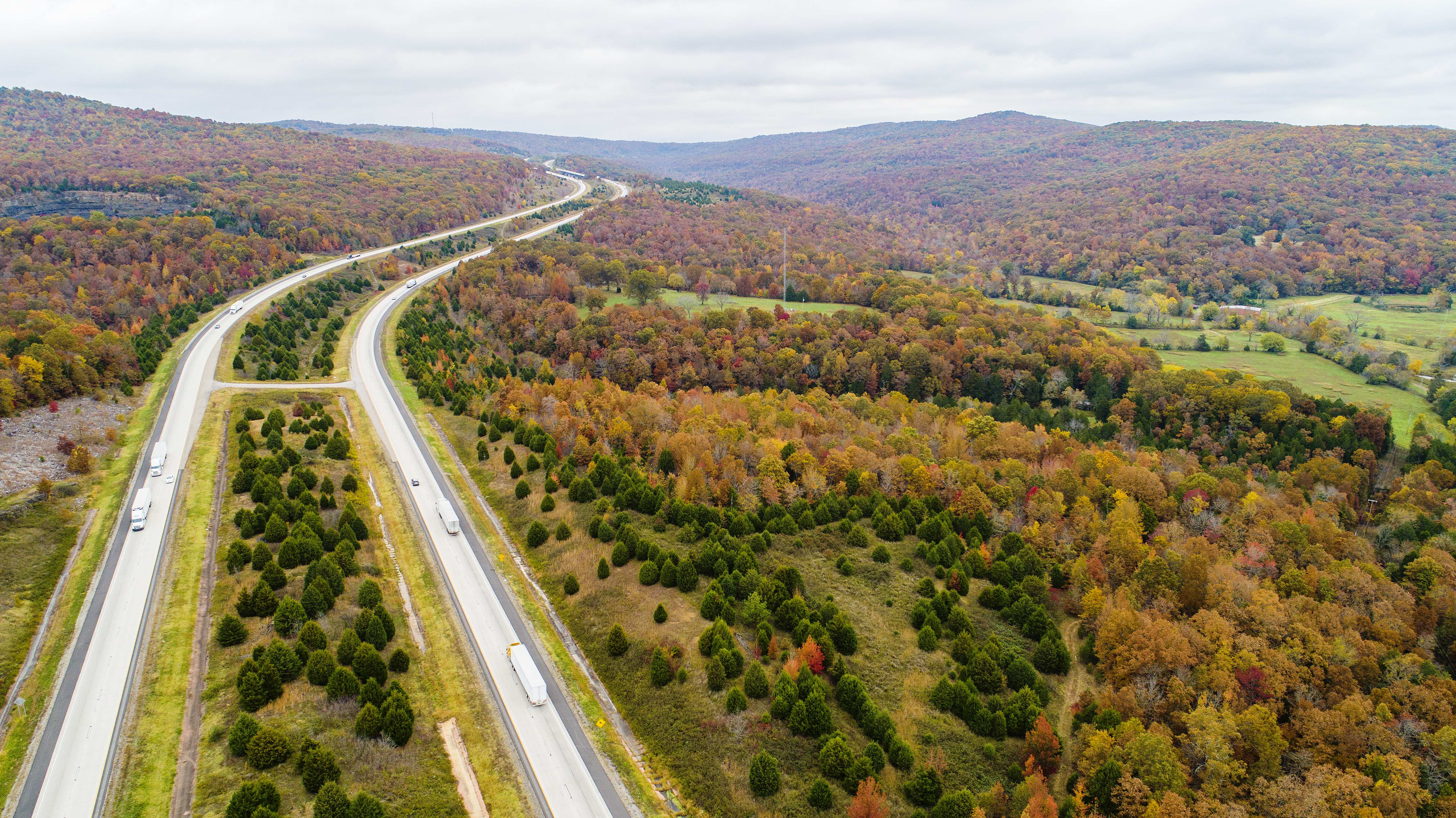
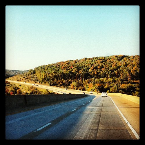
I-49 fall color
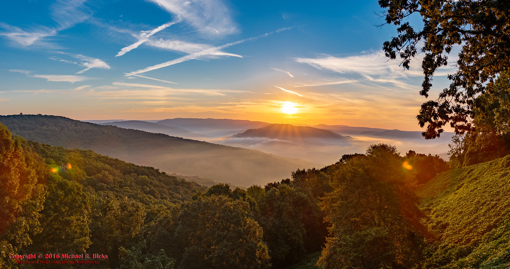
Sunrise at Artist Point on the Boston Mountains Scenic Highway
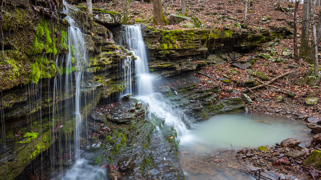
Lower unnamed falls #1 of Winfrey Valley
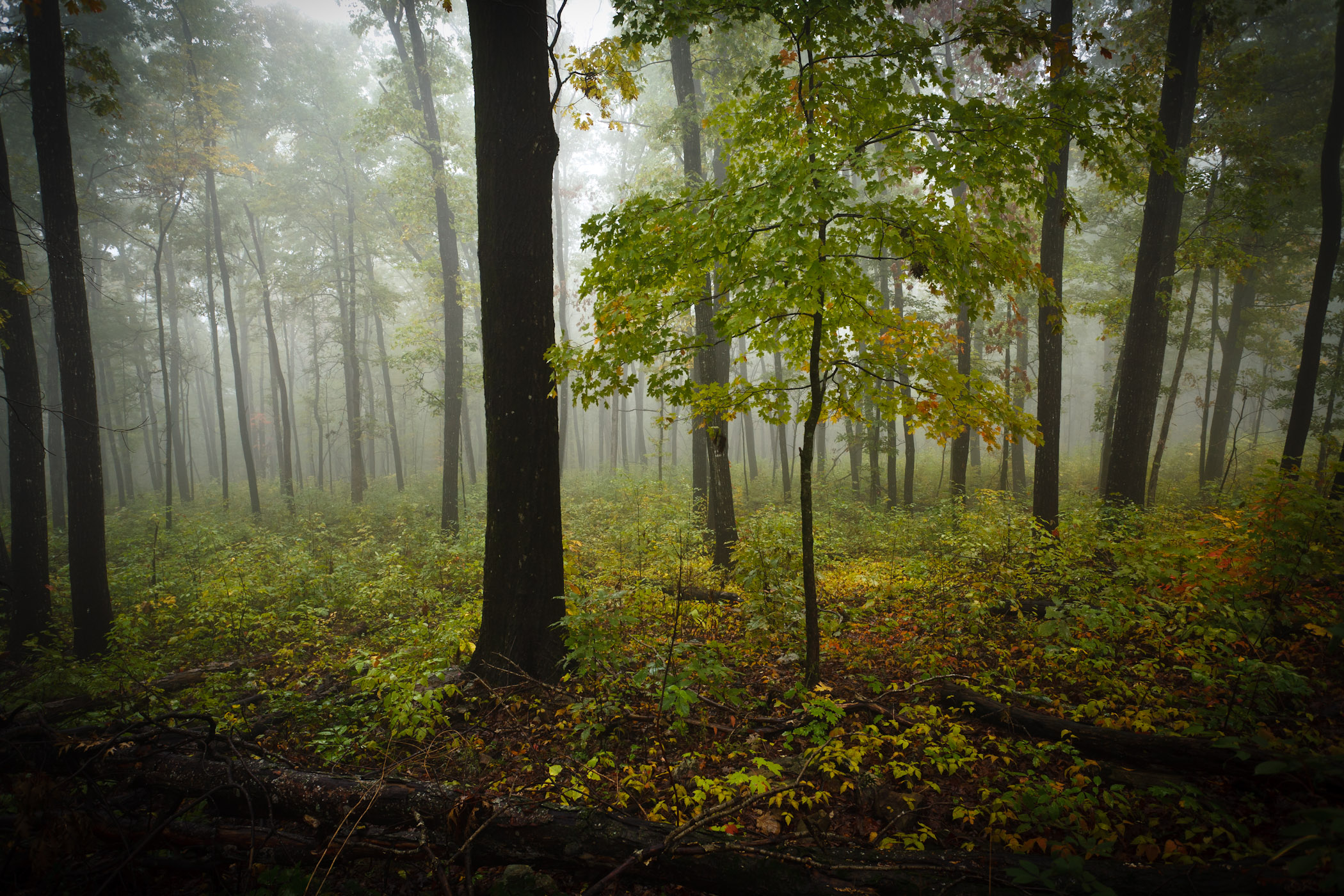
Foggy Trees
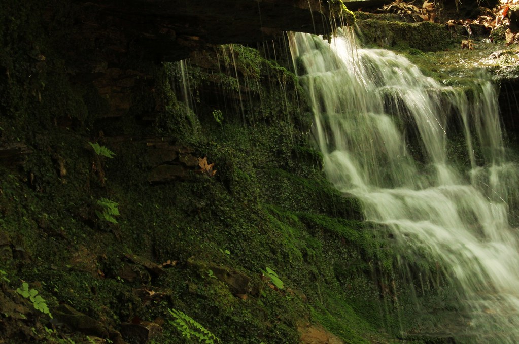
McWater Falls (really)
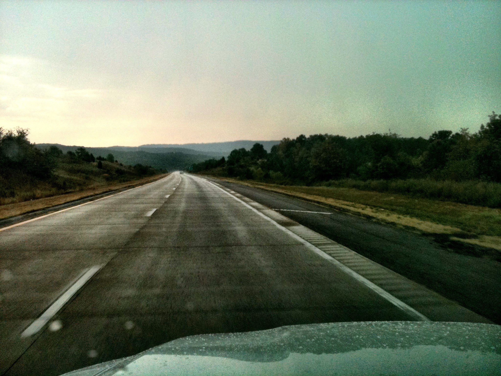
A Rainy Drive Home
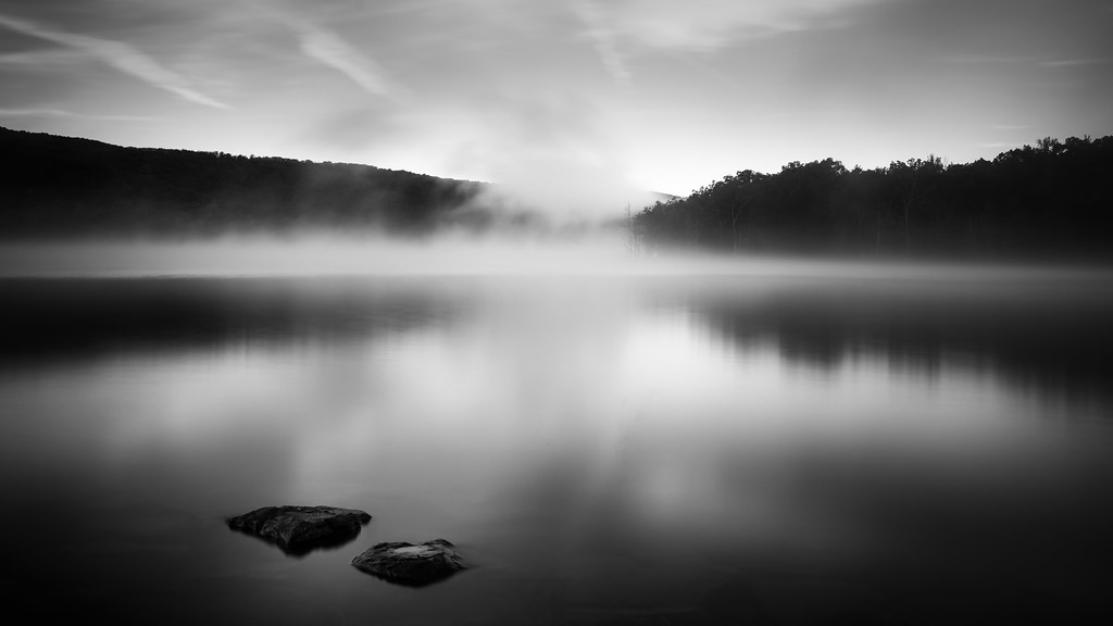
Two Rocks
Deep Thought, Artist Point
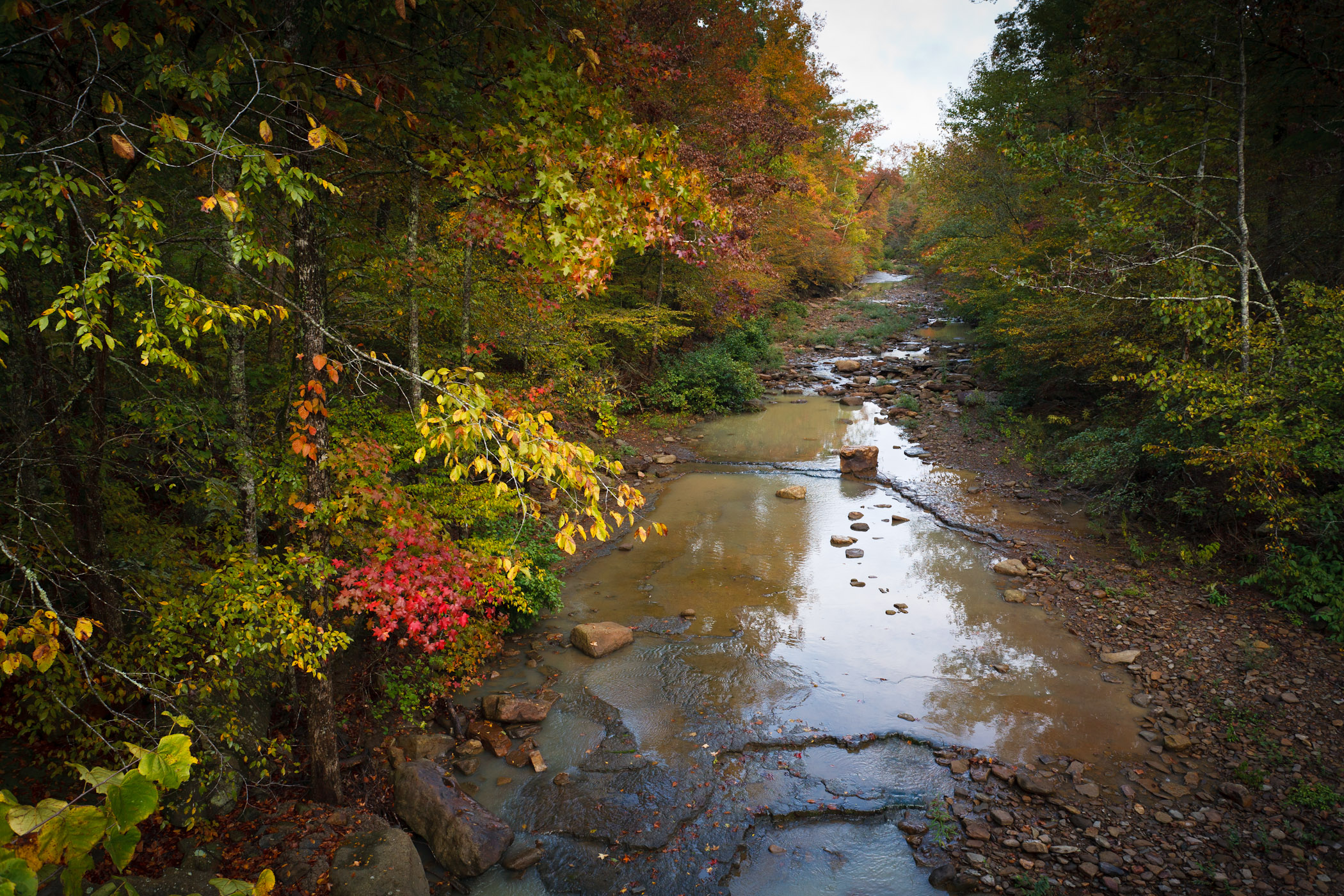
Hurricane Creek
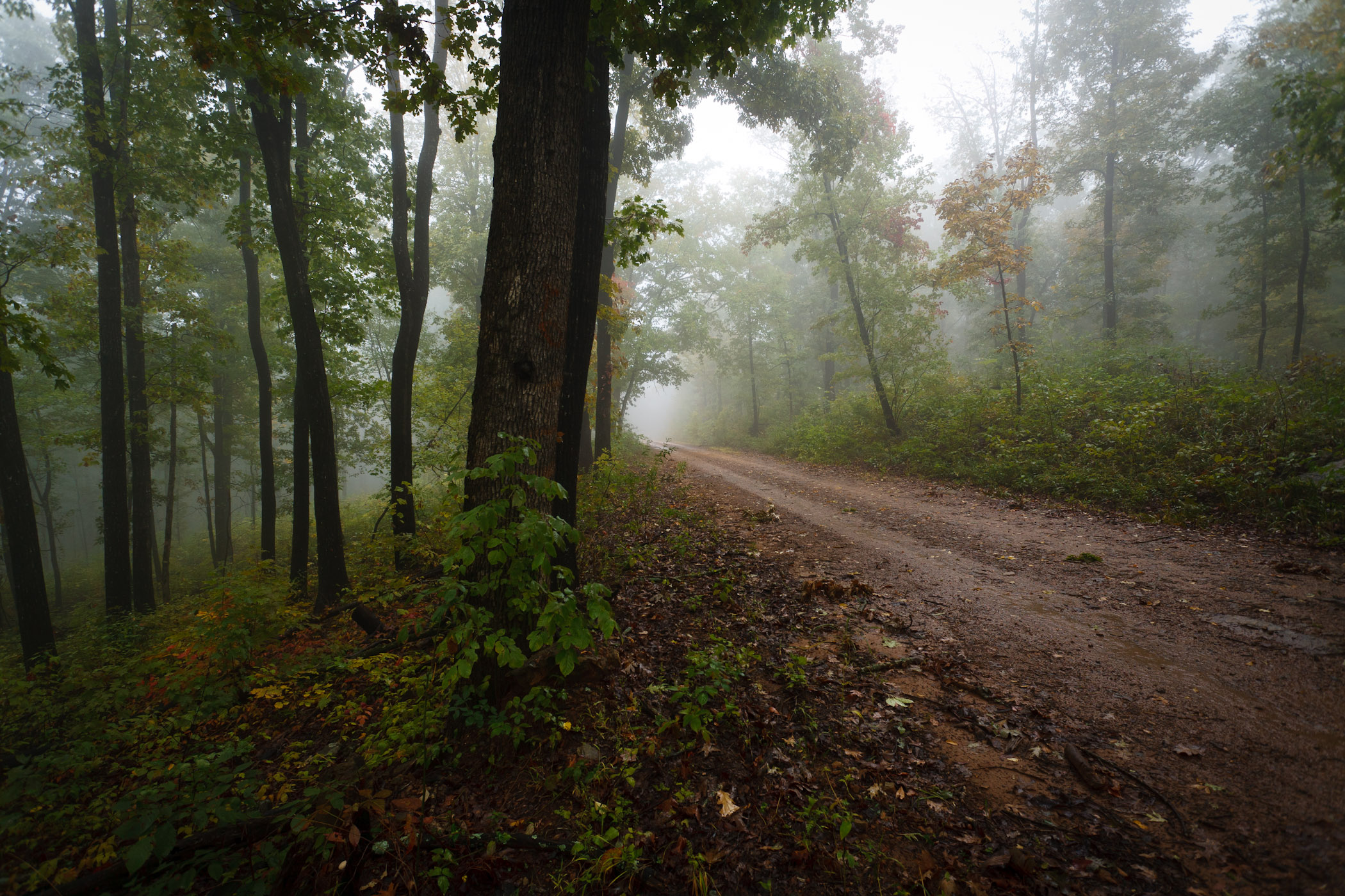
Foggy Road

Nostalgia Sunday
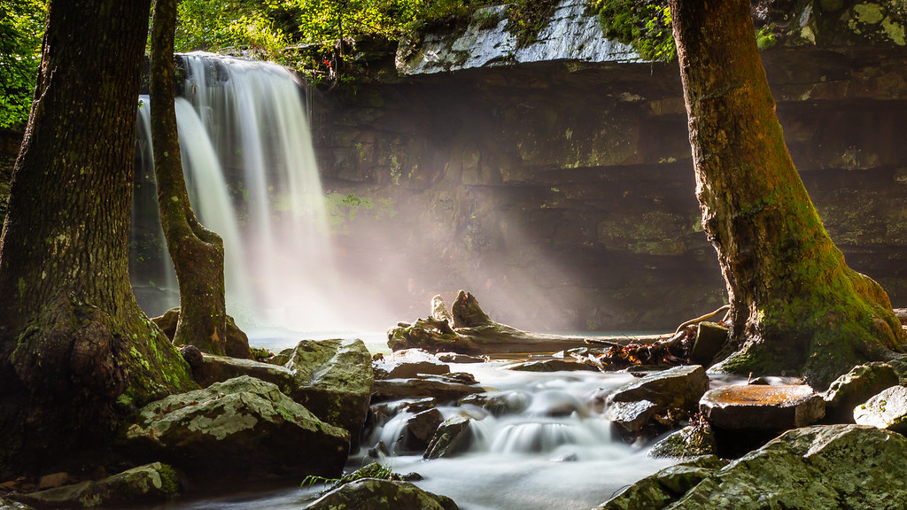
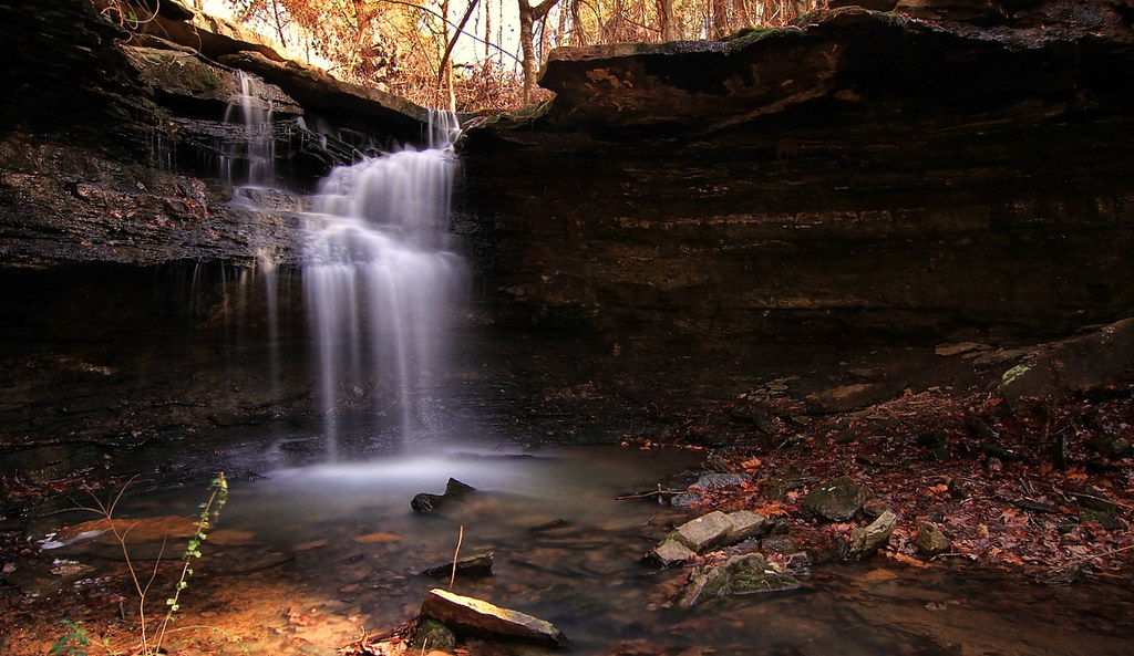
Artist Point Falls
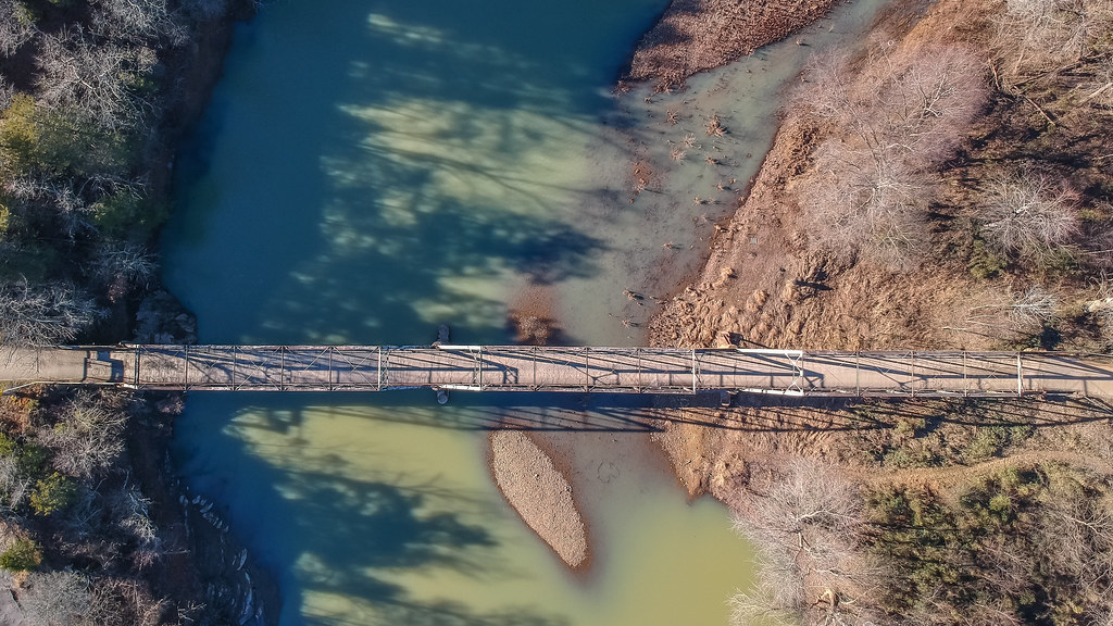
Bridge over the Mulberry
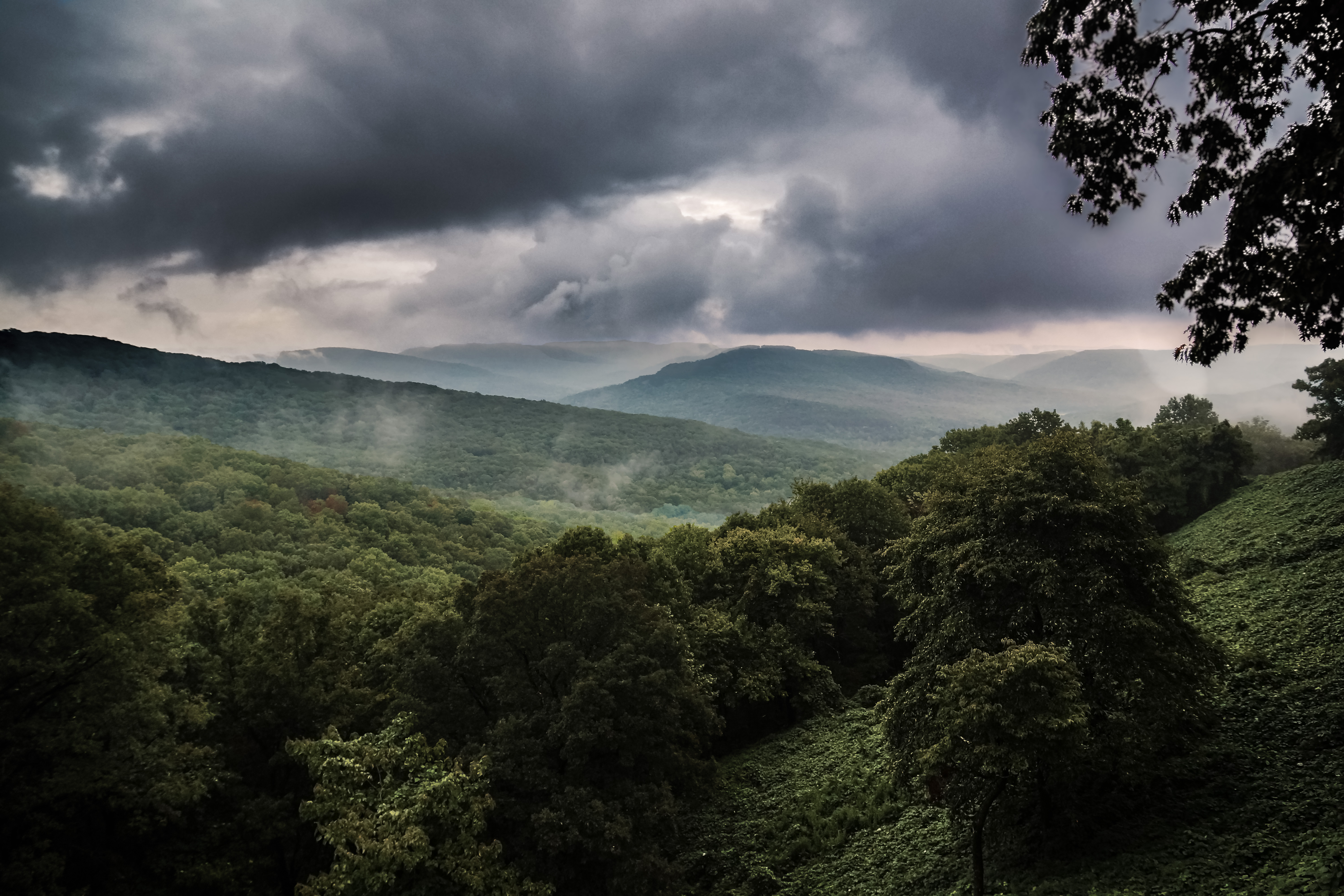
OZARK MOUNTAINS
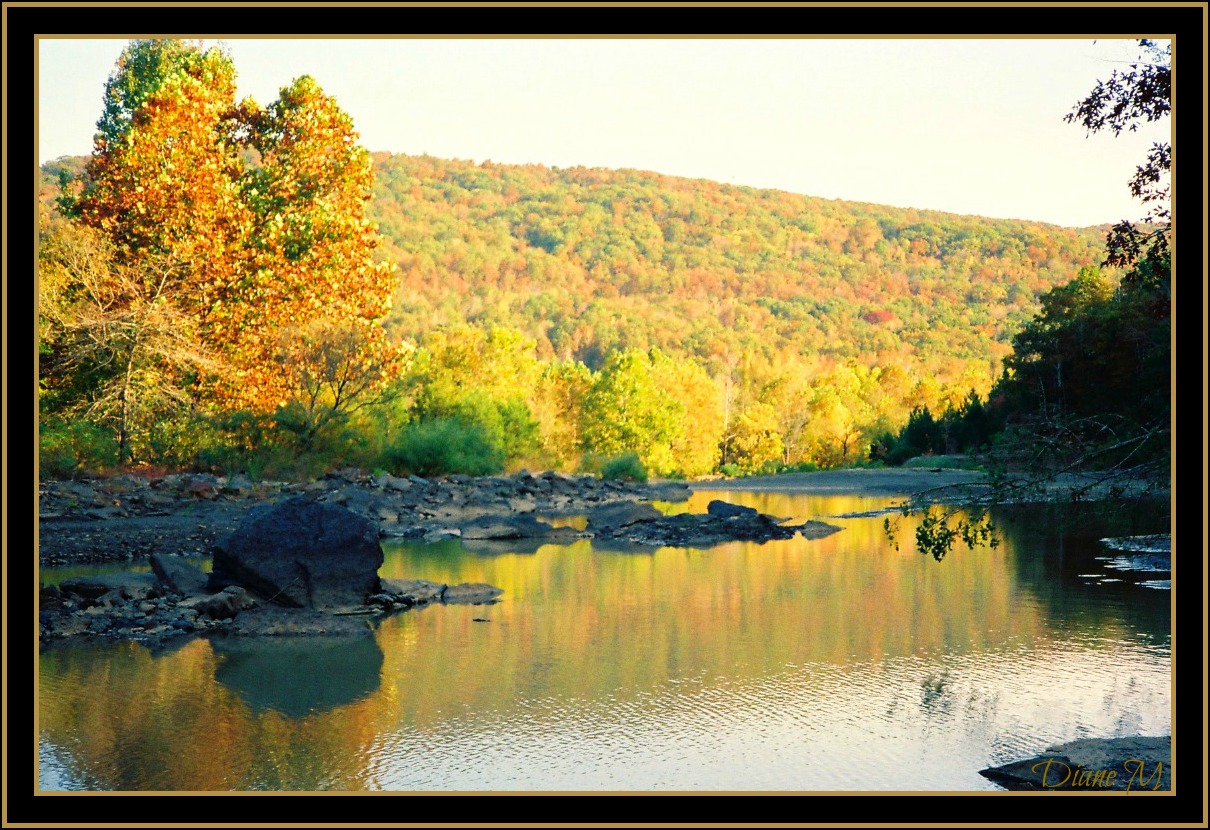
Lake Ft. Smith
20171123_133747(1)
Ozarks Wide
20171123_133900~2
Three Amigos

Shores Lake-6
Topographic Map of Hickory St, Mountainburg, AR, USA
Find elevation by address:

Places near Hickory St, Mountainburg, AR, USA:
1000 Serviceberry Rd
US-71, Mountainburg, AR, USA
Mountainburg
846 E Rumpus Ridge Rd
Mountainburg Township
12739 Larue Rd
Chester
Dickson, Chester, AR, USA
Chester
9301 Rackley Mountain Rd
1508 Dow Jones Rd
Miller Township
Piney Rd, Mulberry, AR, USA
15620 Maxey Hill Rd
934 Mulberry Wire Rd
Mulberry
7347 Hickory Ridge Rd
5318 Us-64
Scenic View Drive
Wire Rd, Ozark, AR, USA
Recent Searches:
- Elevation of Lampiasi St, Sarasota, FL, USA
- Elevation of Elwyn Dr, Roanoke Rapids, NC, USA
- Elevation of Congressional Dr, Stevensville, MD, USA
- Elevation of Bellview Rd, McLean, VA, USA
- Elevation of Stage Island Rd, Chatham, MA, USA
- Elevation of Shibuya Scramble Crossing, 21 Udagawacho, Shibuya City, Tokyo -, Japan
- Elevation of Jadagoniai, Kaunas District Municipality, Lithuania
- Elevation of Pagonija rock, Kranto 7-oji g. 8"N, Kaunas, Lithuania
- Elevation of Co Rd 87, Jamestown, CO, USA
- Elevation of Tenjo, Cundinamarca, Colombia