Elevation of Langseite 5a, Rohr im Gebirge, Austria
Location: Austria > Lower Austria > Wiener Neustadt-land District > Gemeinde Rohr Im Gebirge > Rohr Im Gebirge >
Longitude: 15.6705066
Latitude: 47.8930327
Elevation: 772m / 2533feet
Barometric Pressure: 92KPa
Elevation Map:
Satellite Map:
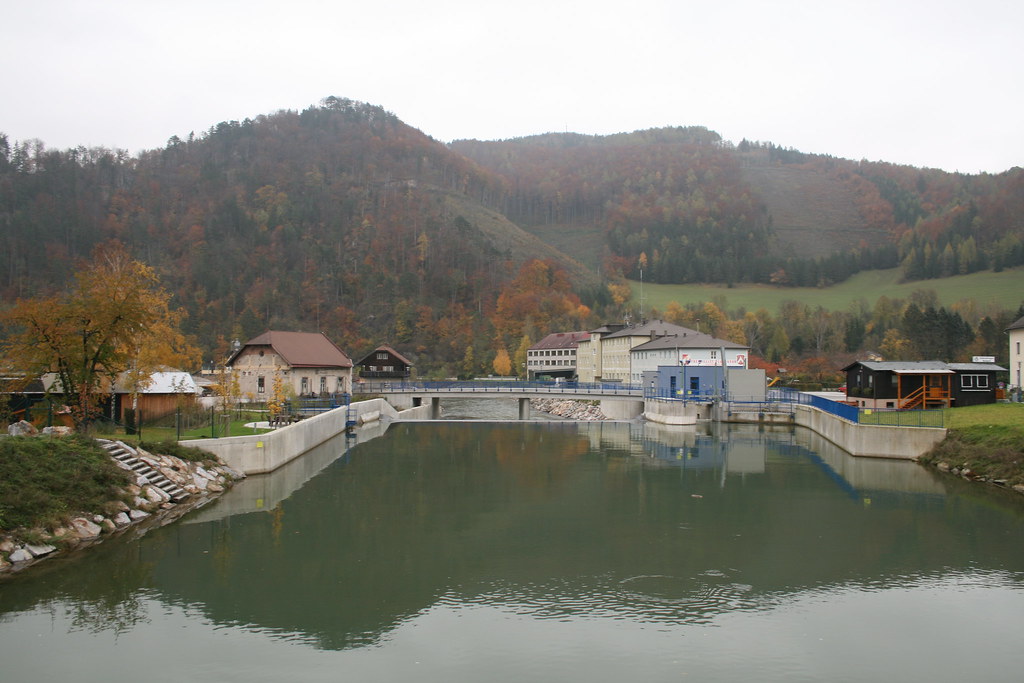
Related Photos:

mom ?

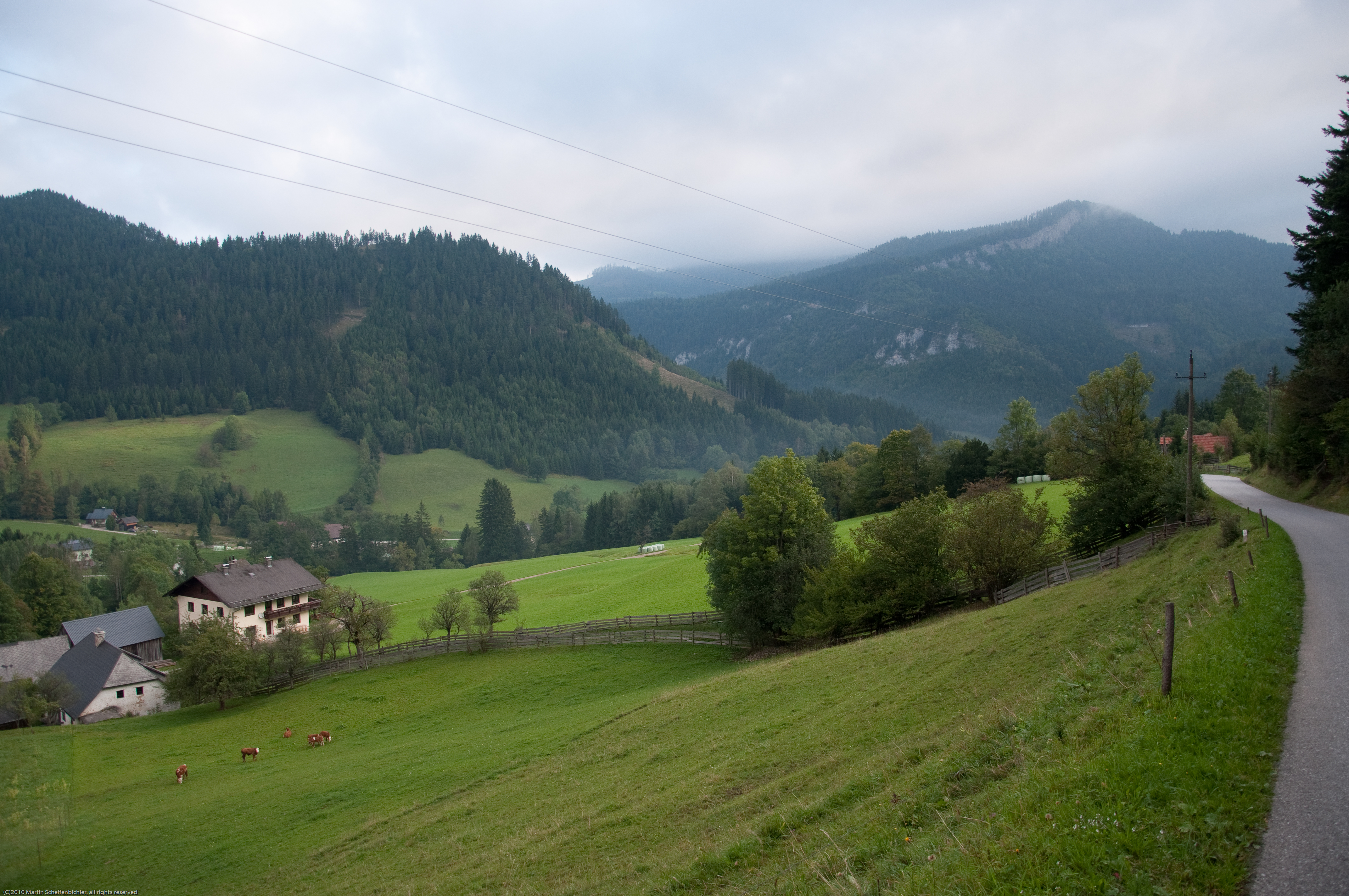
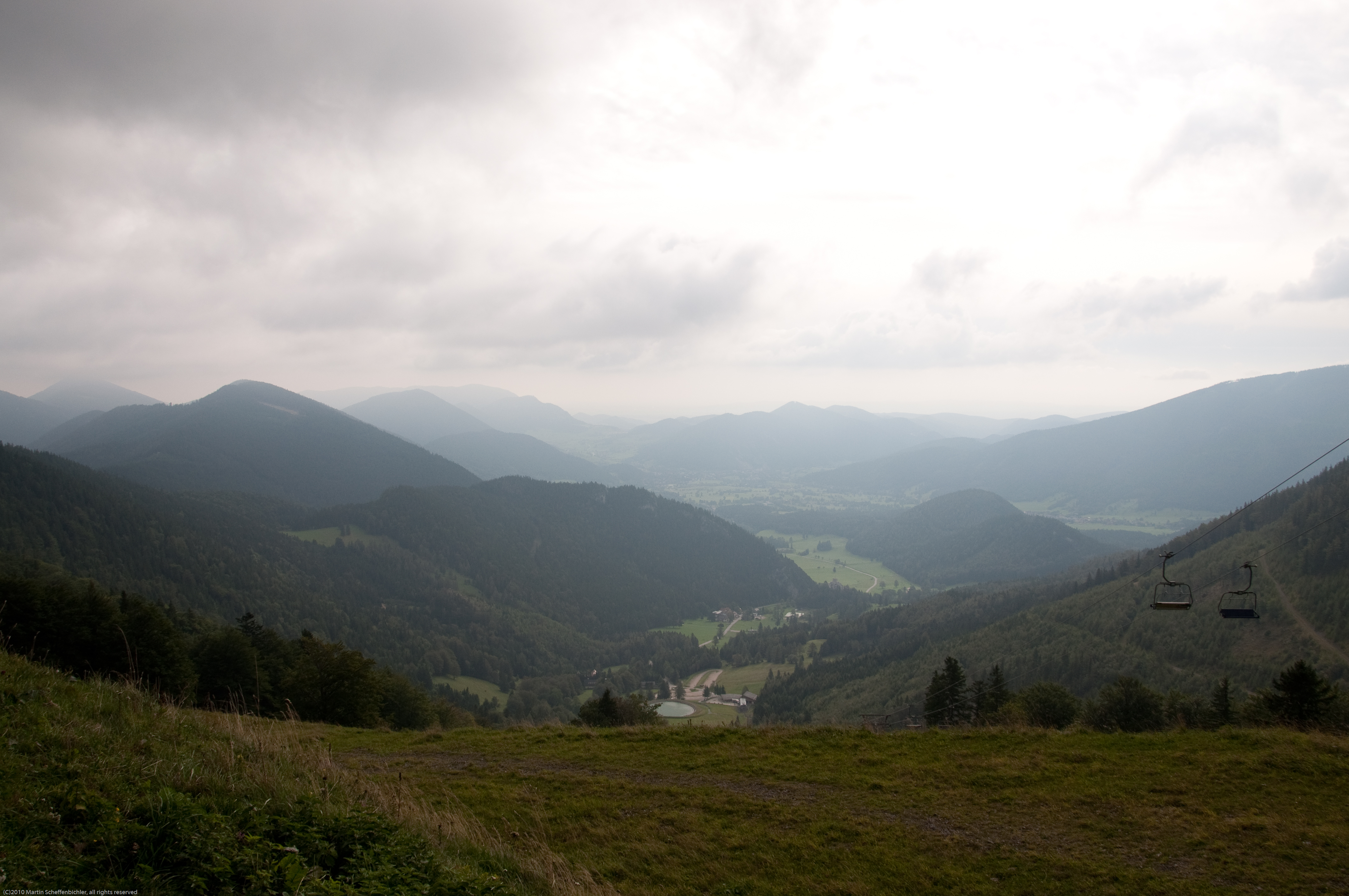
Austrian Pre-Alps

ötscher
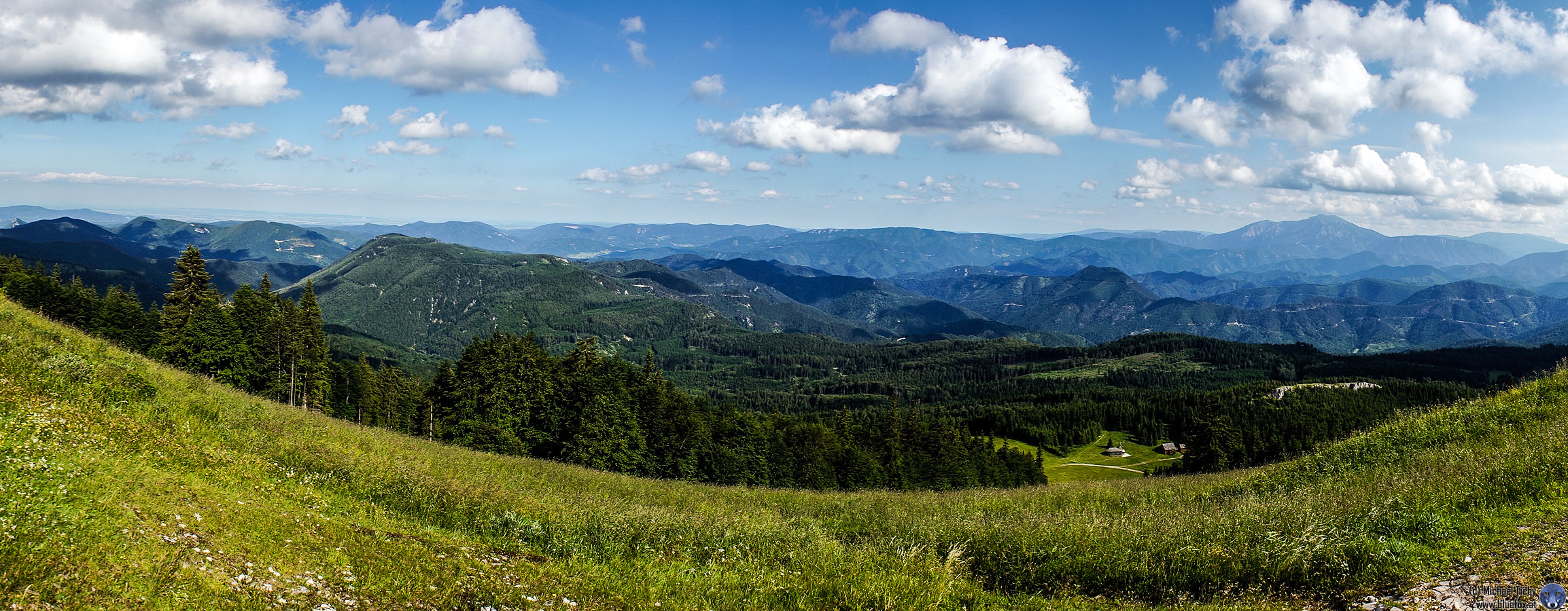
Unterberg Panorama

-
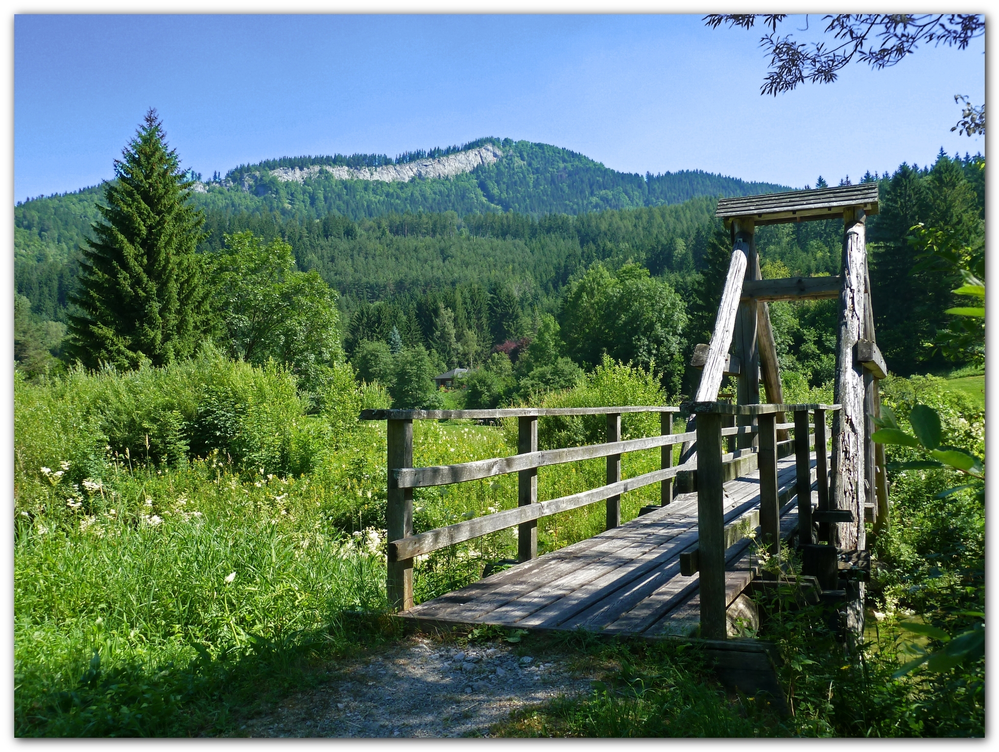
The old wooden bridge in the pilgrim's path

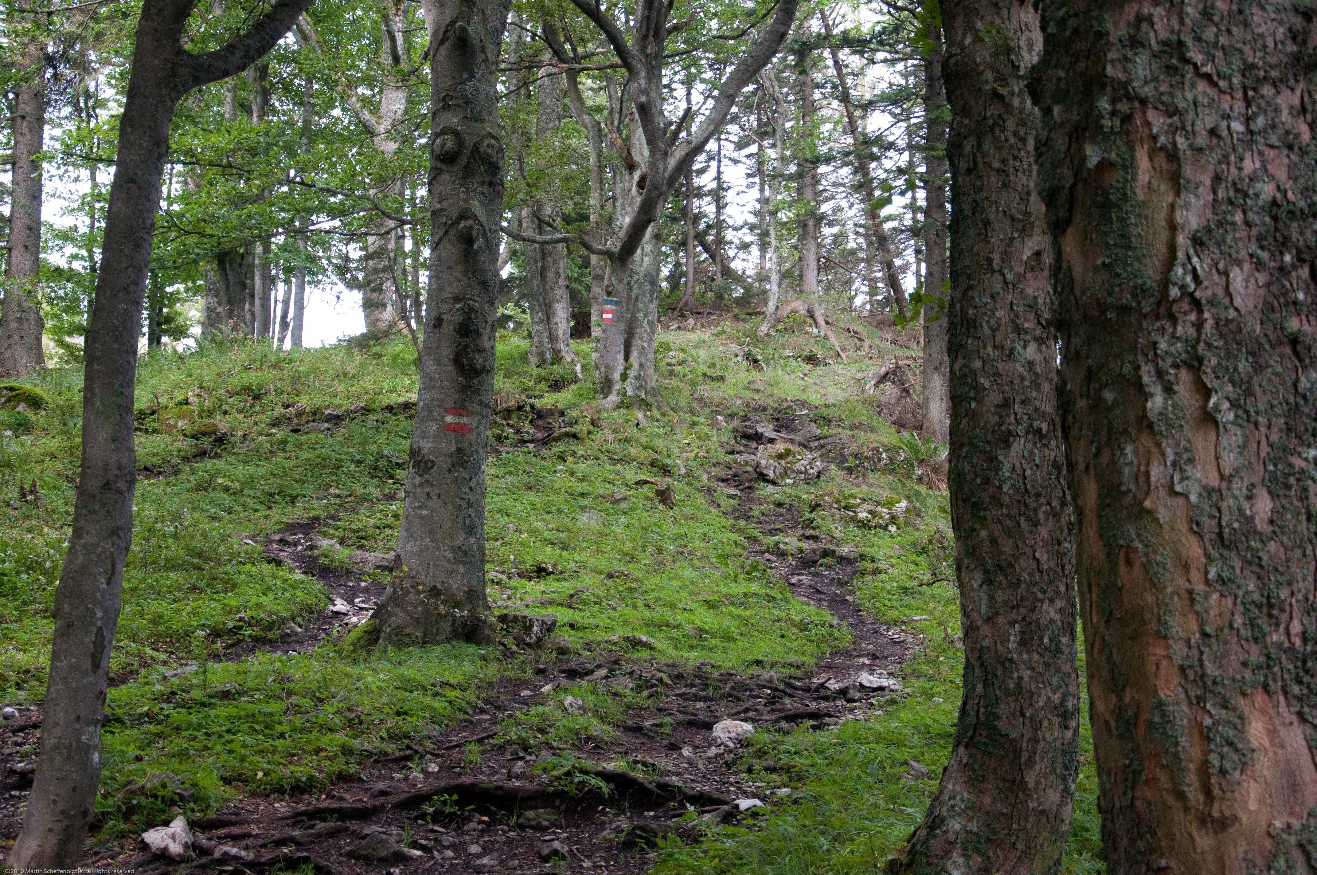
Tree Arc
Pilgern nach Mariazell
Pilgern nach Mariazell
Pilgern nach Mariazell
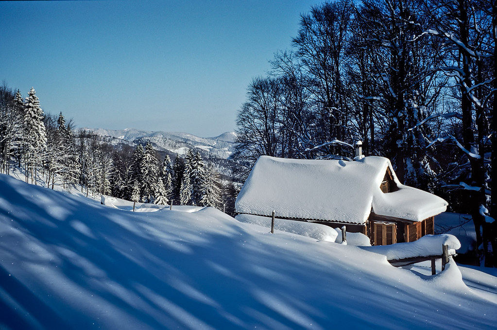
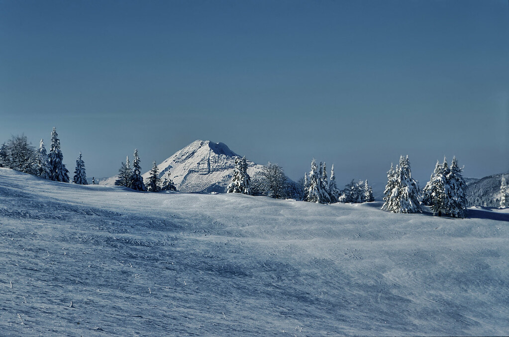
Fresh Snow
Pilgern nach Mariazell
Pilgern nach Mariazell

2014-04-20 15.57.22.jpg
Pilgern nach Mariazell
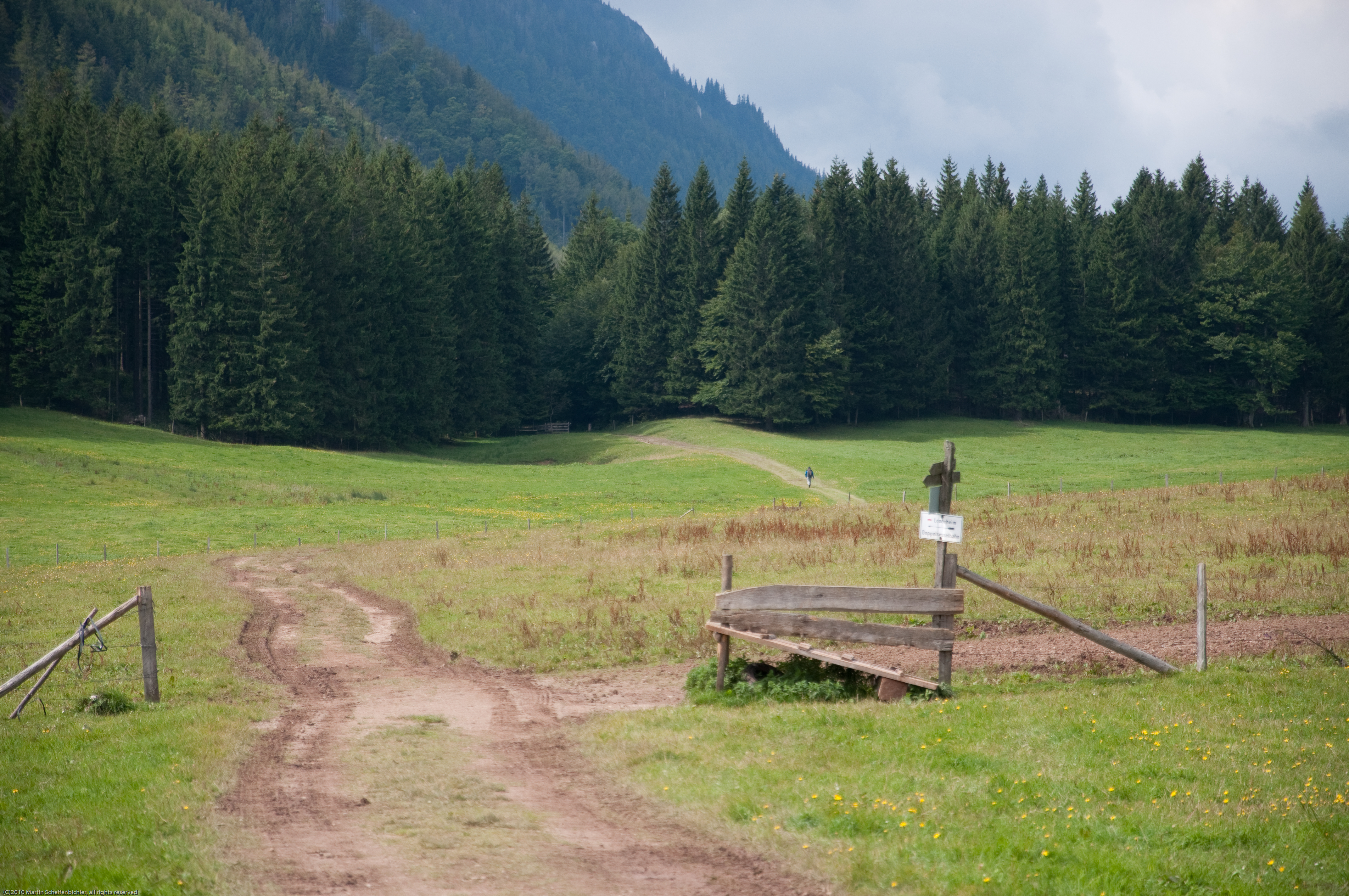
Pilgern nach Mariazell

2014-04-21 12.59.31.jpg
IMG_5628.JPG
Pilgern nach Mariazell
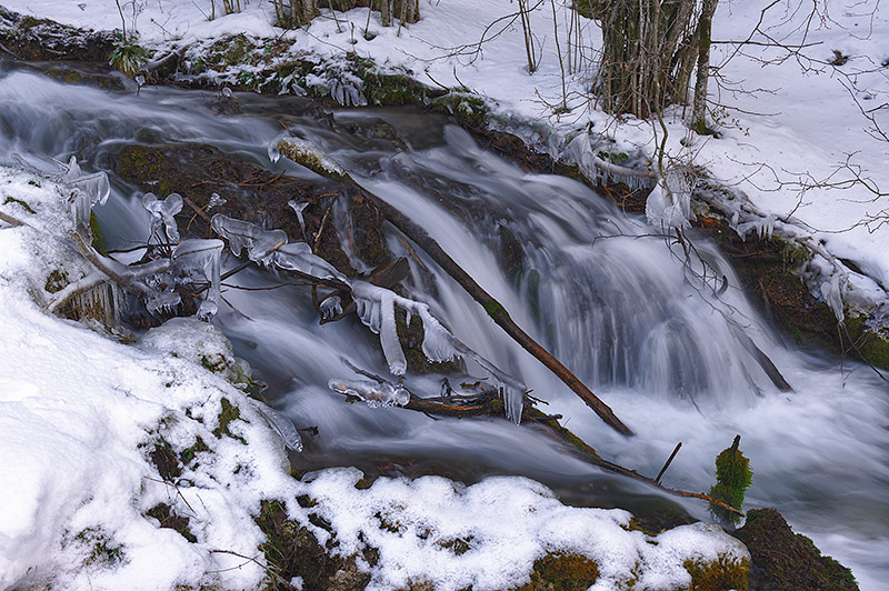
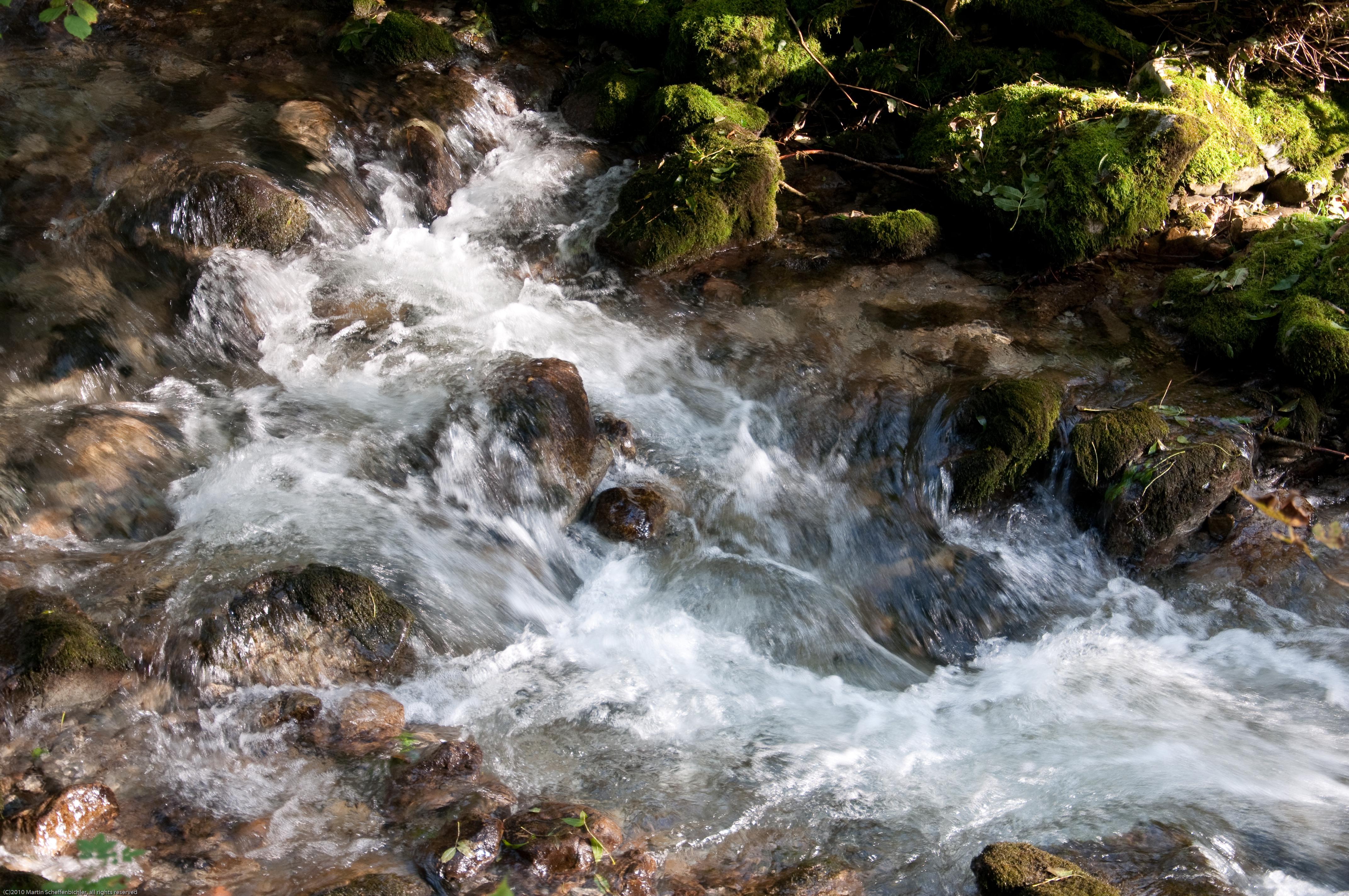
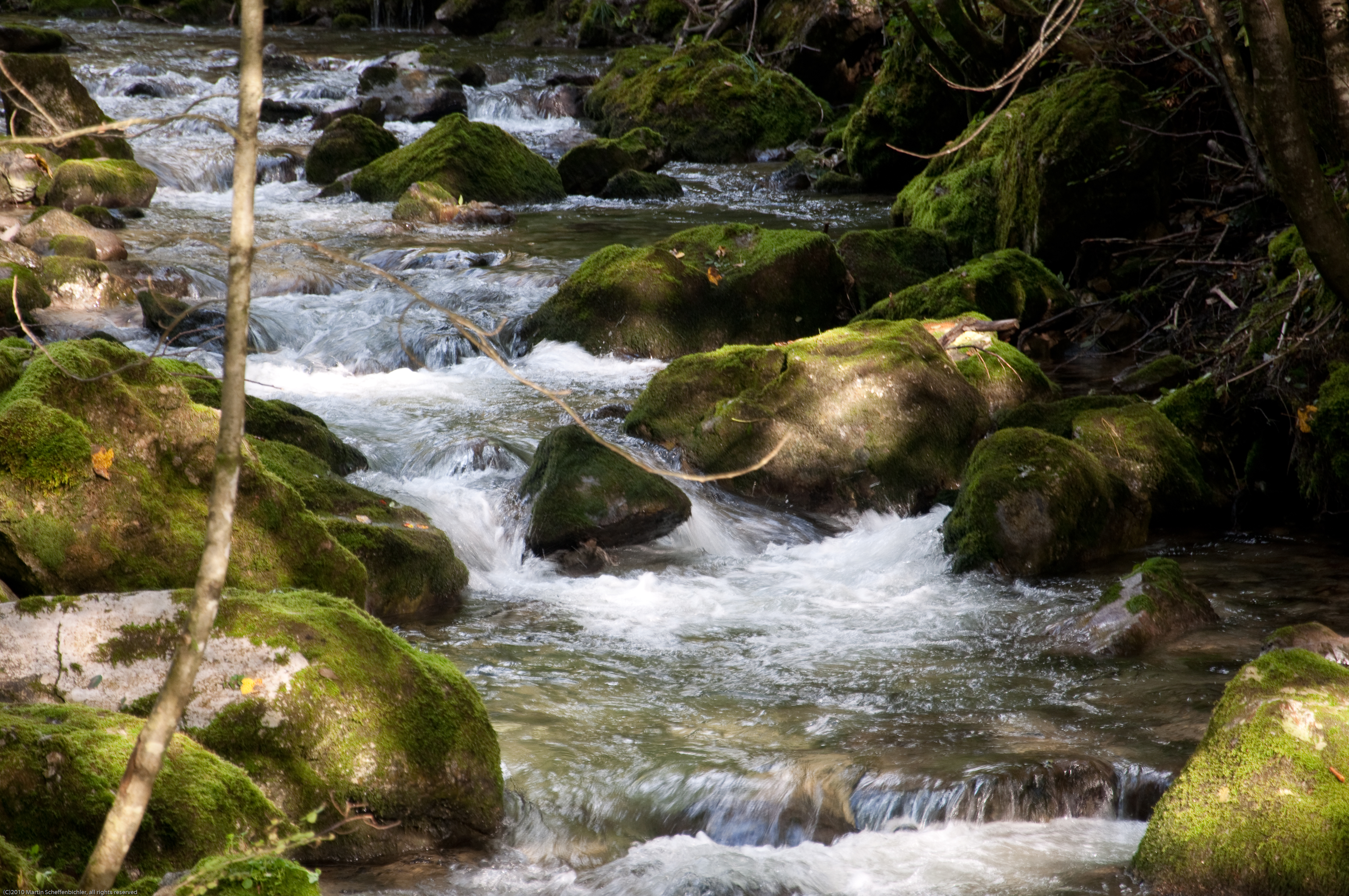
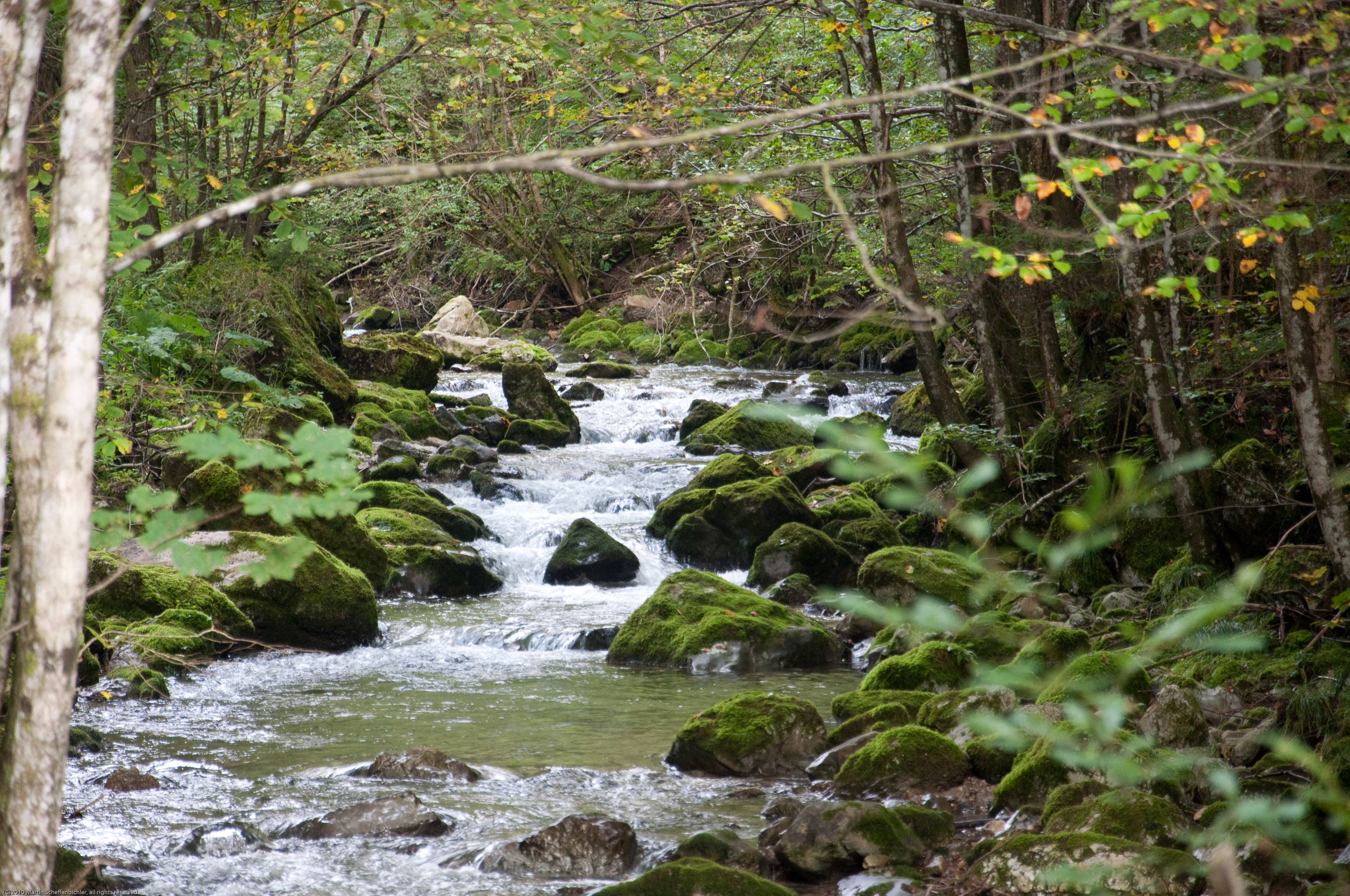
Hohenberger Wasserfälle 53
Pilgern nach Mariazell
Winter - Some Time Ago

2014-04-21 12.56.44.jpg
Topographic Map of Langseite 5a, Rohr im Gebirge, Austria
Find elevation by address:

Places near Langseite 5a, Rohr im Gebirge, Austria:
Krumbach 14, Rohr im Gebirge, Austria
Andersbach 7, Andersbach, Austria
Innerhalbach
Hohenberg
Gutenstein Alps
Gemeinde Rohr Im Gebirge
Rohr Im Gebirge
Hochstaff
Innerhalbach 7, Innerhalbach, Austria
Weißenbach 67, St. Aegyd am Neuwalde, Austria
Ebenwald
Klausbach 11, Rohr im Gebirge, Austria
Kleinzell 35, Kleinzell, Austria
Kleinzell
Sankt Aegyd Am Neuwalde
Winsaberg 1, Rohr im Gebirge, Austria
Kernhof
Am Himmel 2, Zögersbach, Austria
Schneidbach 6, Schneidbach, Austria
Schneidbach
Recent Searches:
- Elevation of Great Brook Sports, Gold Star Hwy, Groton, CT, USA
- Elevation of 10 Mountain Laurels Dr, Nashua, NH, USA
- Elevation of 16 Gilboa Ln, Nashua, NH, USA
- Elevation of Laurel Rd, Townsend, TN, USA
- Elevation of 3 Nestling Wood Dr, Long Valley, NJ, USA
- Elevation of Ilungu, Tanzania
- Elevation of Yellow Springs Road, Yellow Springs Rd, Chester Springs, PA, USA
- Elevation of Rēzekne Municipality, Latvia
- Elevation of Plikpūrmaļi, Vērēmi Parish, Rēzekne Municipality, LV-, Latvia
- Elevation of 2 Henschke Ct, Caboolture QLD, Australia