Elevation of Innerhalbach, Austria
Location: Austria > Lower Austria > Lilienfeld District >
Longitude: 15.7014
Latitude: 47.93365
Elevation: 563m / 1847feet
Barometric Pressure: 95KPa
Elevation Map:
Satellite Map:
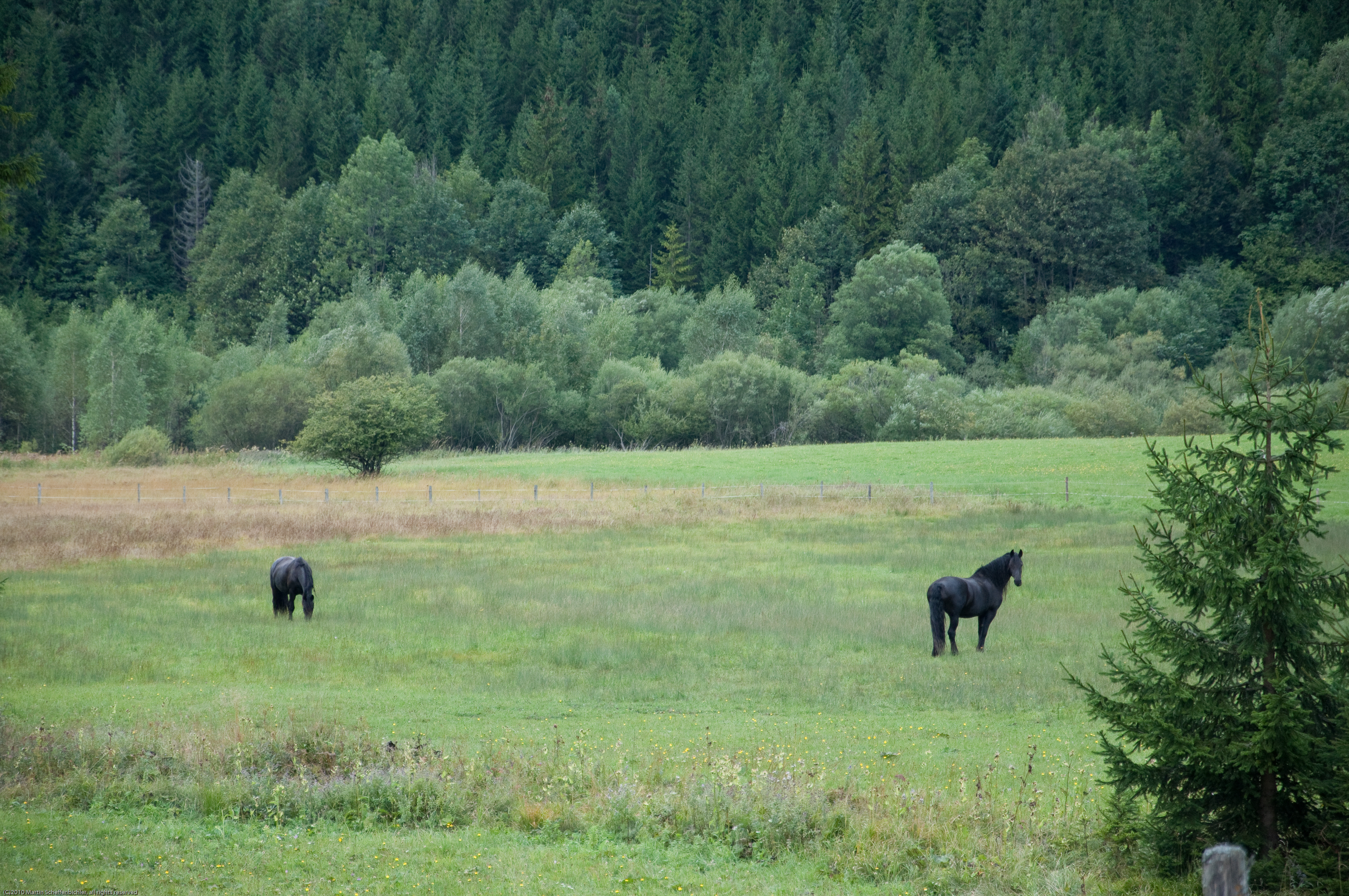
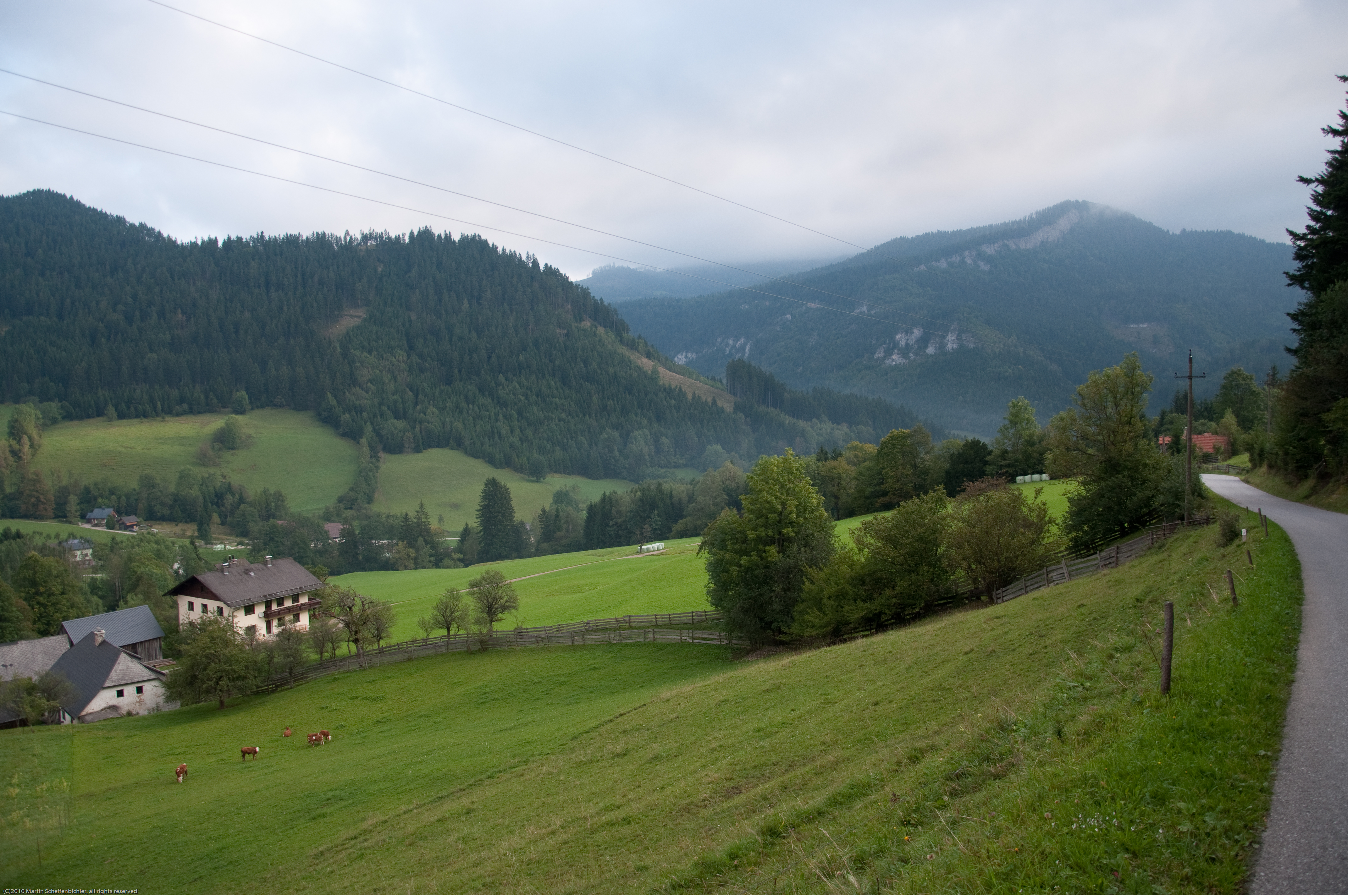
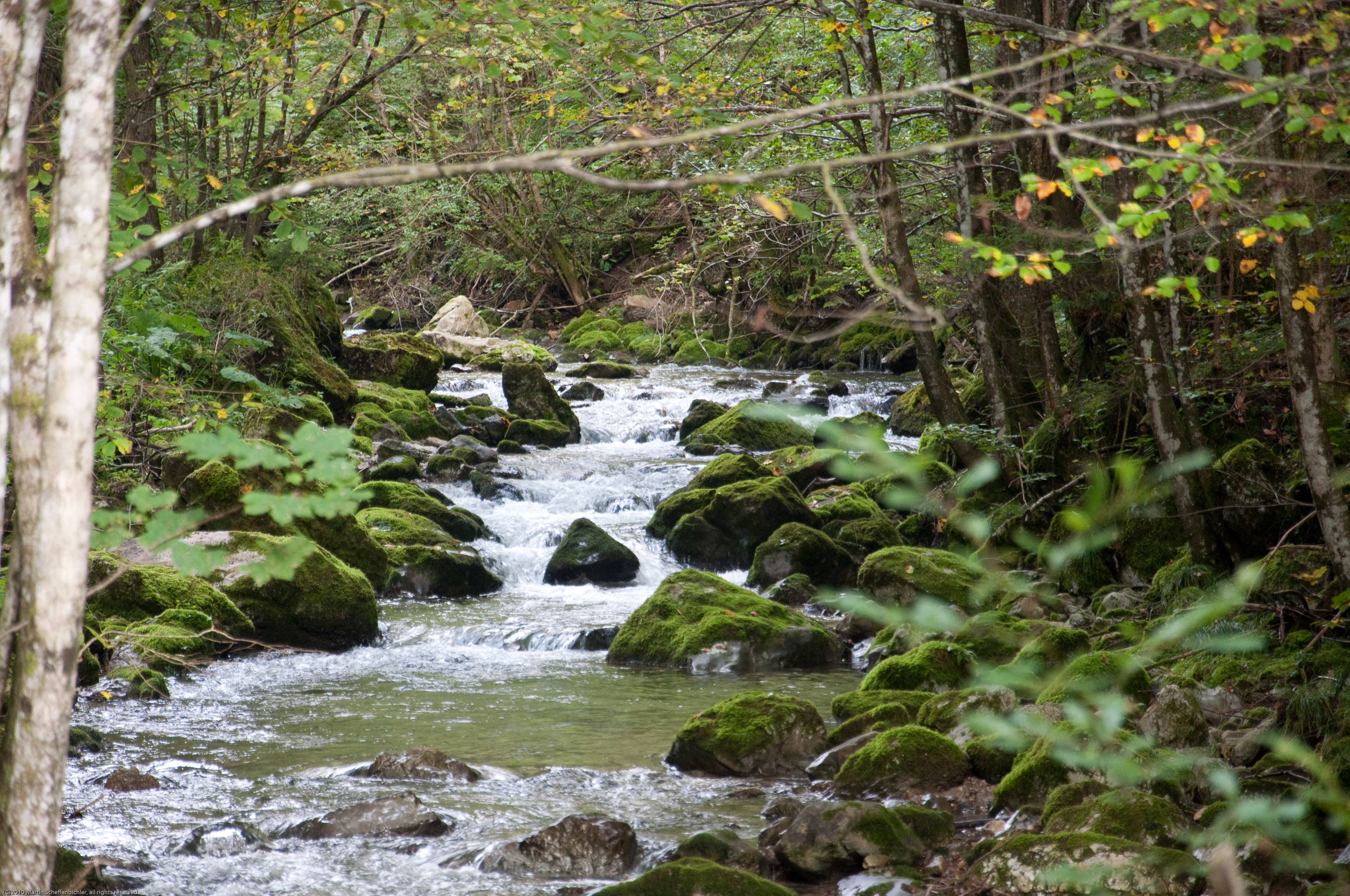
Related Photos:

View from Araburg

Austrian Pre-Alps

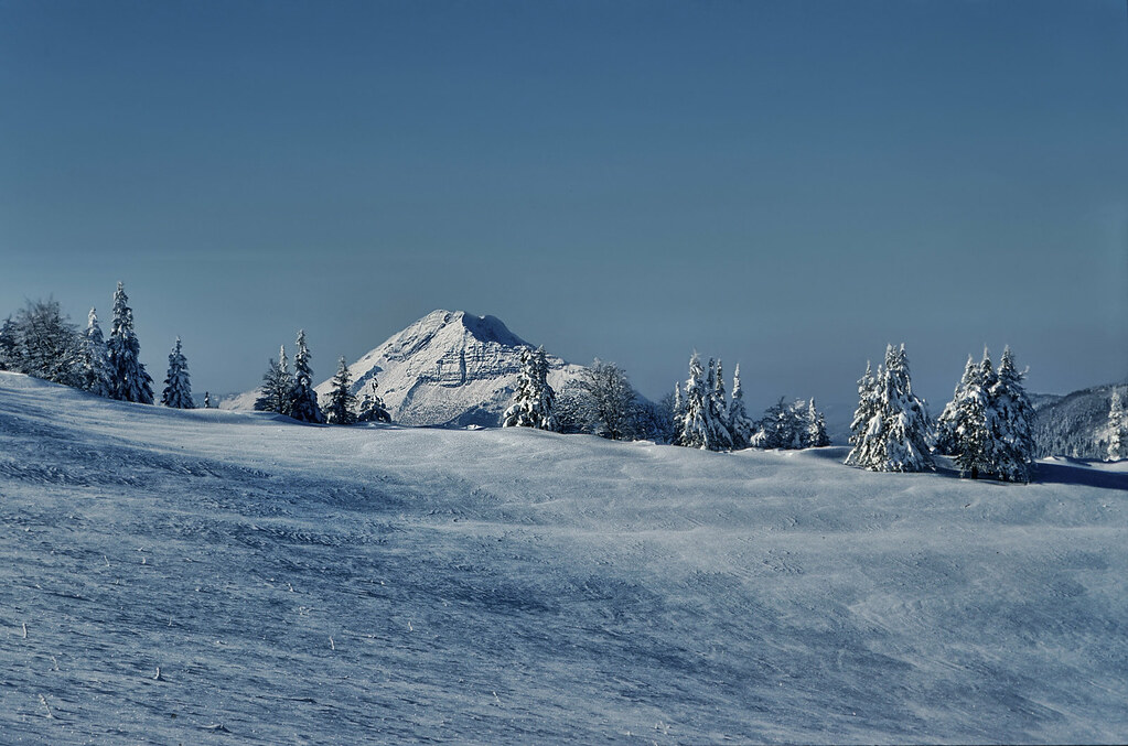
ötscher
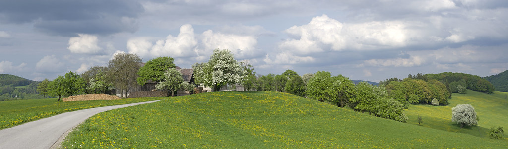
Spring in Eastern Alps
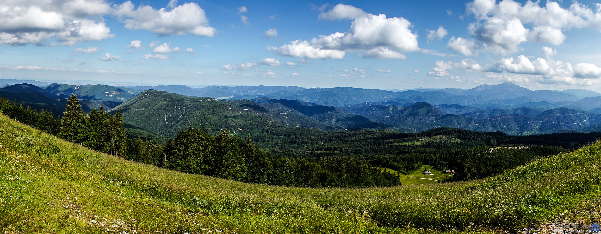
Unterberg Panorama

-
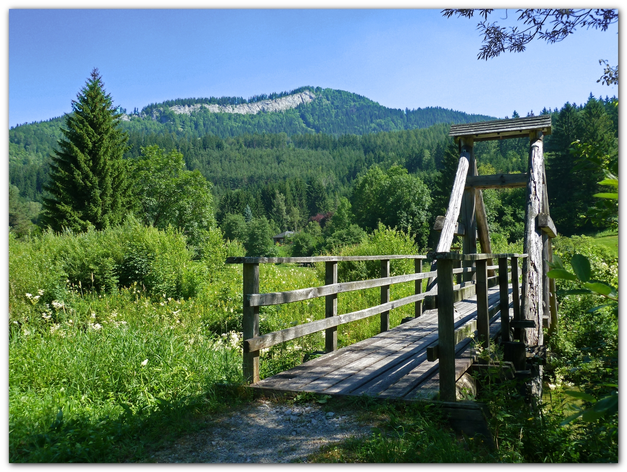
The old wooden bridge in the pilgrim's path

20120421-L1002436.jpg
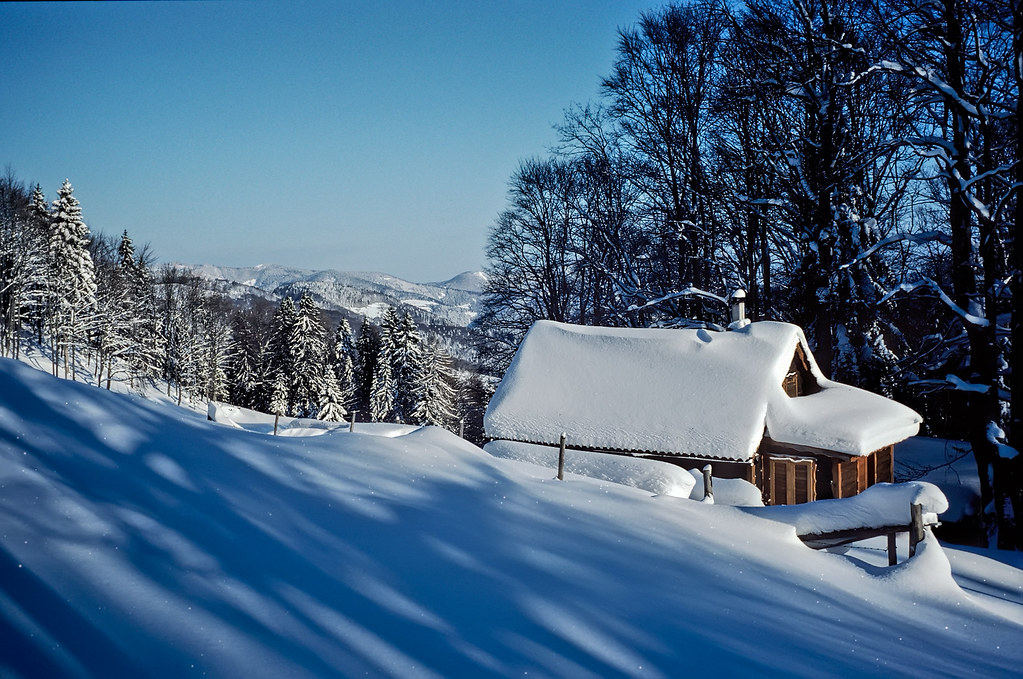
Fresh Snow
Winter - Some Time Ago

Tree Arc
Pilgern nach Mariazell
Pilgern nach Mariazell
Pilgern nach Mariazell
Pilgern nach Mariazell

2015-04-05 11.33.49.jpg
Pilgern nach Mariazell

2014-04-20 15.57.22.jpg
Pilgern nach Mariazell

2014-04-21 12.59.31.jpg
IMG_5628.JPG
Topographic Map of Innerhalbach, Austria
Find elevation by address:

Places in Innerhalbach, Austria:
Places near Innerhalbach, Austria:
Innerhalbach 7, Innerhalbach, Austria
Hochstaff
Krumbach 14, Rohr im Gebirge, Austria
Kleinzell 35, Kleinzell, Austria
5a
Gemeinde Rohr Im Gebirge
Ebenwald
Rohr Im Gebirge
Gutenstein Alps
Kleinzell
Klausbach 11, Rohr im Gebirge, Austria
Andersbach 7, Andersbach, Austria
Hohenberg
Schneidbach 6, Schneidbach, Austria
Schneidbach
Winsaberg 1, Rohr im Gebirge, Austria
Gaupmannsgraben 21
Weißenbach 67, St. Aegyd am Neuwalde, Austria
Sankt Aegyd Am Neuwalde
Am Himmel 2, Zögersbach, Austria
Recent Searches:
- Elevation of Elwyn Dr, Roanoke Rapids, NC, USA
- Elevation of Congressional Dr, Stevensville, MD, USA
- Elevation of Bellview Rd, McLean, VA, USA
- Elevation of Stage Island Rd, Chatham, MA, USA
- Elevation of Shibuya Scramble Crossing, 21 Udagawacho, Shibuya City, Tokyo -, Japan
- Elevation of Jadagoniai, Kaunas District Municipality, Lithuania
- Elevation of Pagonija rock, Kranto 7-oji g. 8"N, Kaunas, Lithuania
- Elevation of Co Rd 87, Jamestown, CO, USA
- Elevation of Tenjo, Cundinamarca, Colombia
- Elevation of Côte-des-Neiges, Montreal, QC H4A 3J6, Canada