Elevation of Lakeview Dr, Tryon, NC, USA
Location: United States > North Carolina > Polk County > Tryon > Tryon >
Longitude: -82.292189
Latitude: 35.2068748
Elevation: 706m / 2316feet
Barometric Pressure: 93KPa
Elevation Map:
Satellite Map:
Related Photos:

The Hayloft Cottage
The Grainary Cottage
Springhouse Cottage
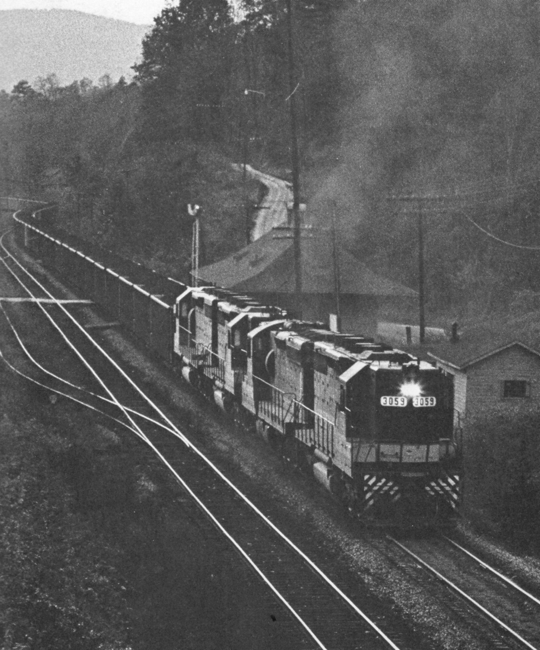
Belmont Coal Train Passing Saluda Depot, 1967

High Bridge (Side View)
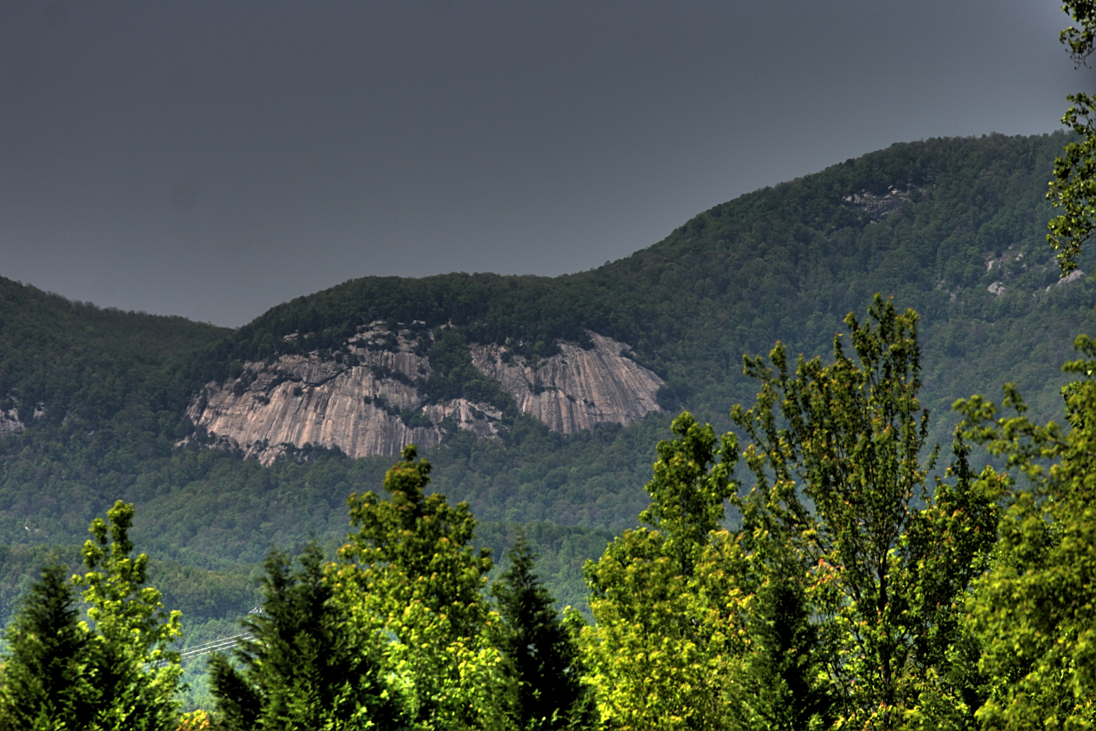
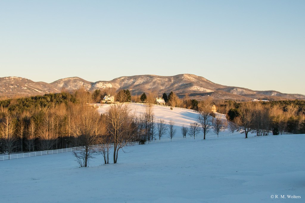
Blue Ridge Mountain View from our vacation cabin porch (HDR)
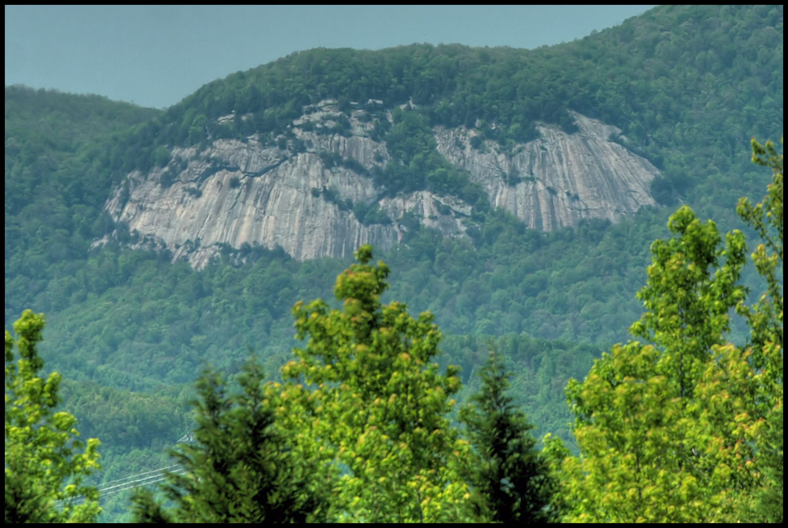
Blue Ridge Mountain View from our vacation cabin porch (HDR)

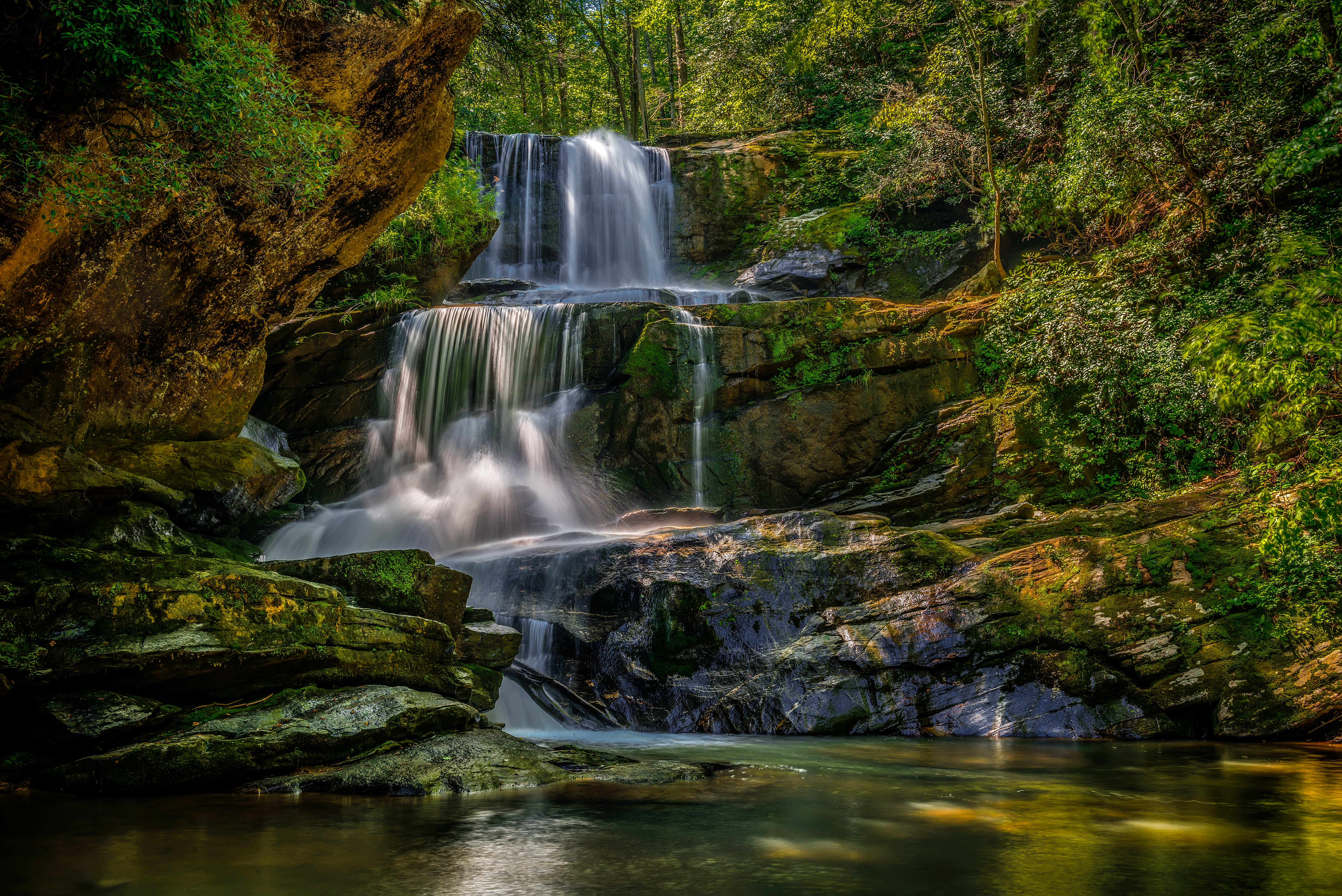
PEARSON'S FALLS BLUE RIDGE MOUNTAINS ~ N.C.
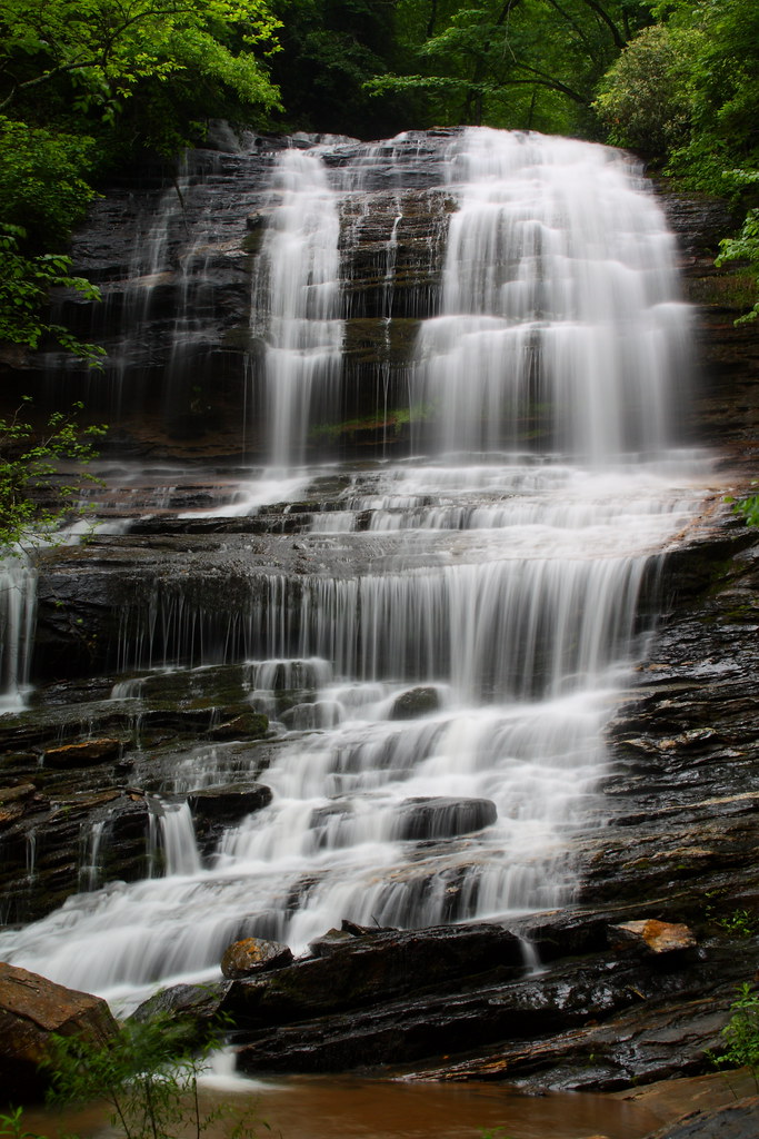
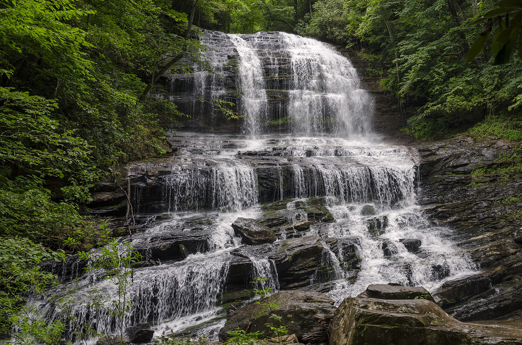
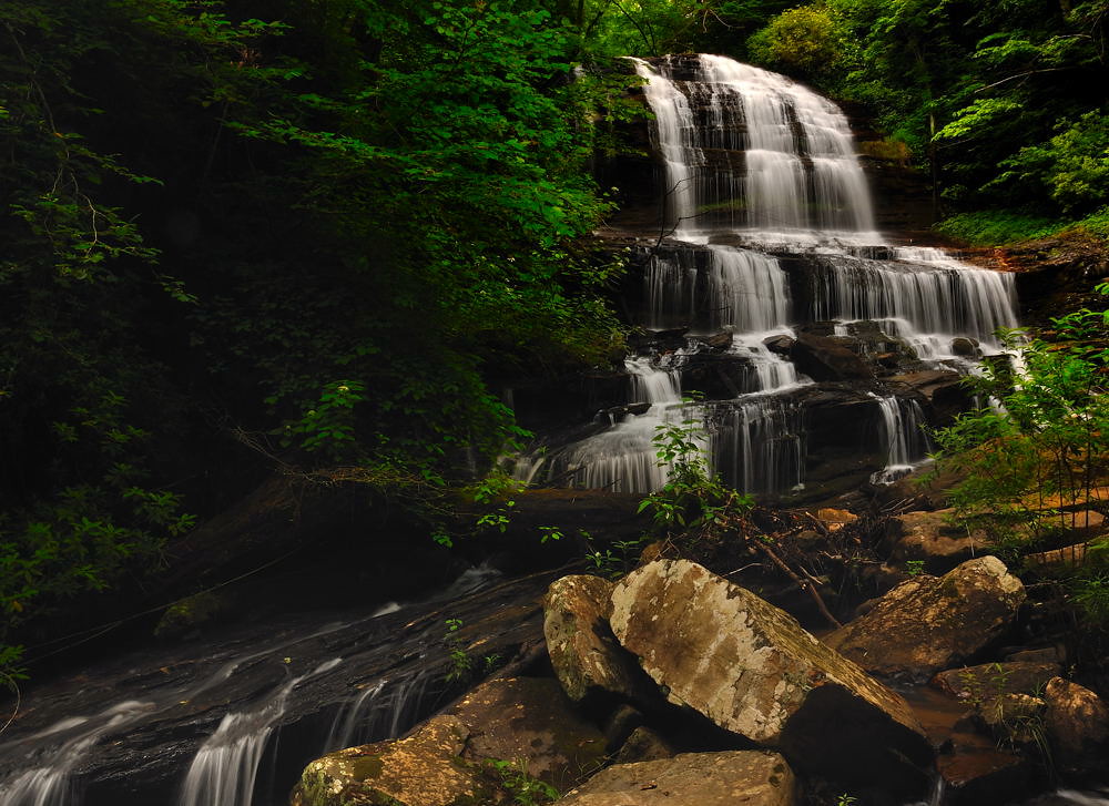
Pearson's Falls
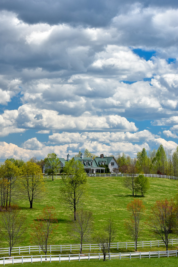
Main Inn View
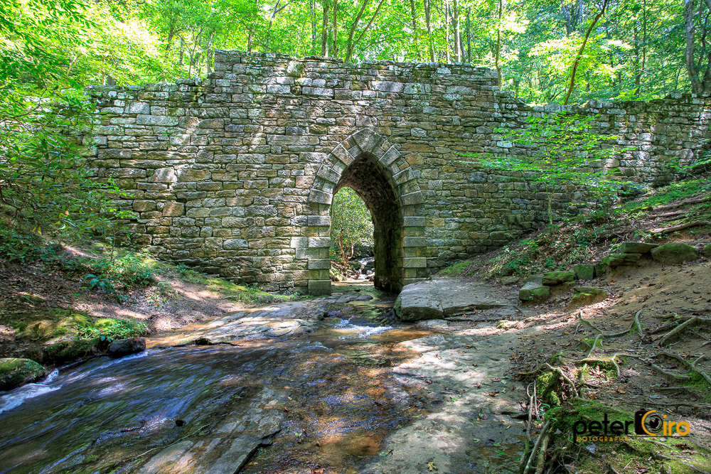
Poinsett Bridge near Highland, SC

Orange Peppers

sunset sundial

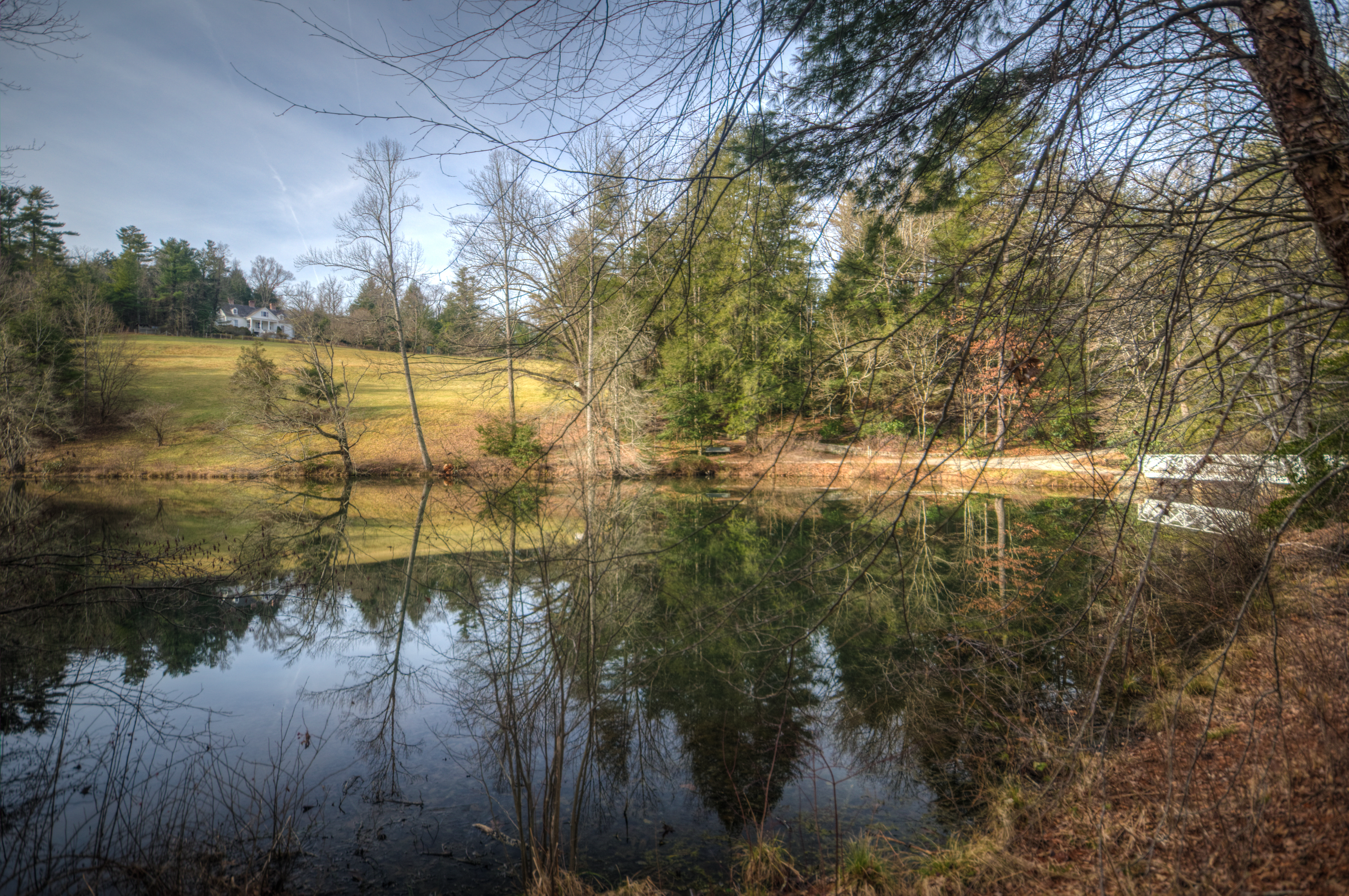
View of the drained Swimming Lake from the Boating Lake dam.
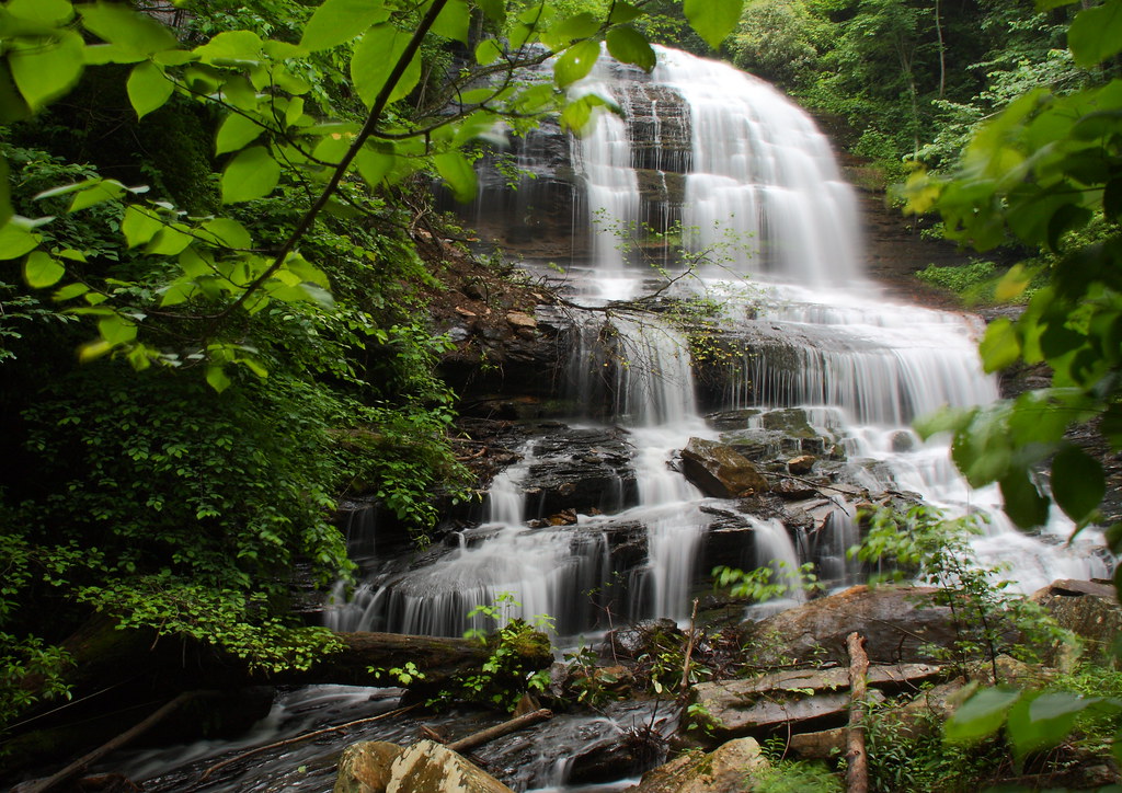
Pearson's Falls-through the Trees
RHI Snow Day
Sunset shadows

Apple Pickin'

Once-staff members Dean Mayer and Mark Bailey view the remnants of The Boathouse, the waterfront-staff cabin where they once spent their summers on staff..
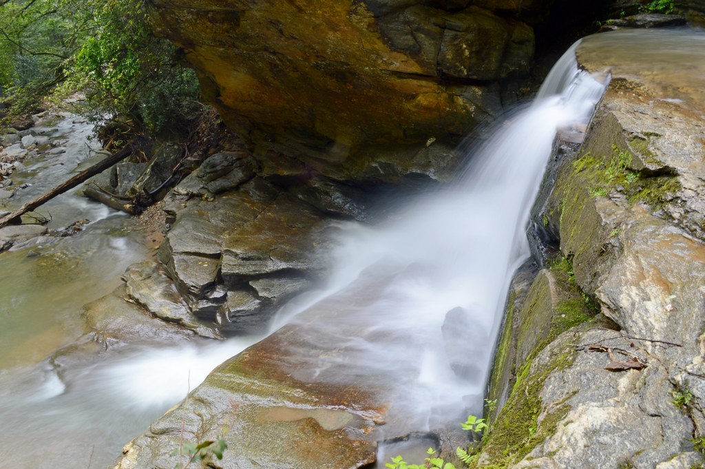
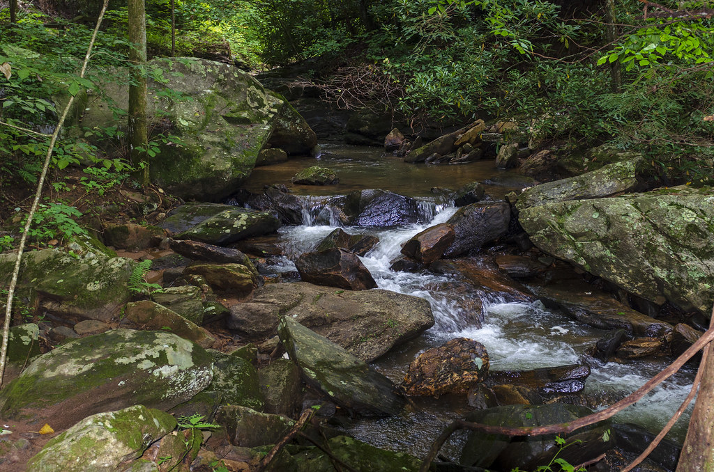
Just a Trickle
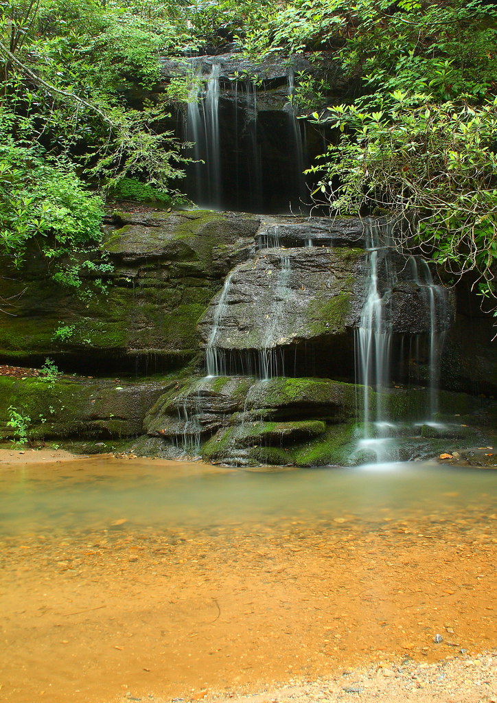
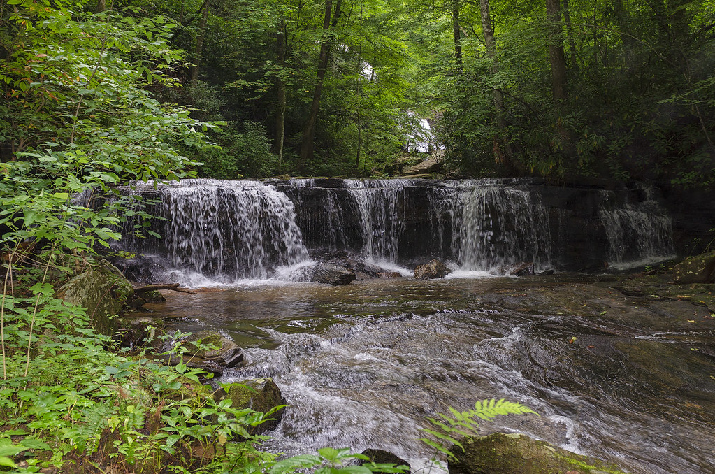
Bradley Falls Side View
Poinsett Cascade
Gentle North Pacolet
Falls Along the Pacolet

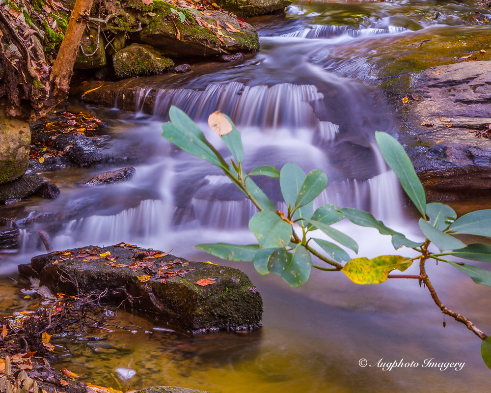
Small Waterfall at Pearson's Falls
Pearson's Falls, N.C.
The Carl Sandburg National Historic Site
Low Key
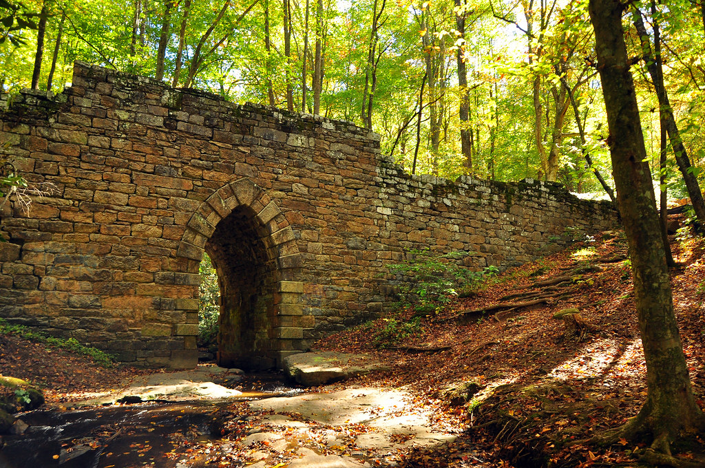
Poinsette Bridge
Little Bradley Falls (Saluda, North Carolina)

Undocumented Blue Wall Reserve waterfall - 01

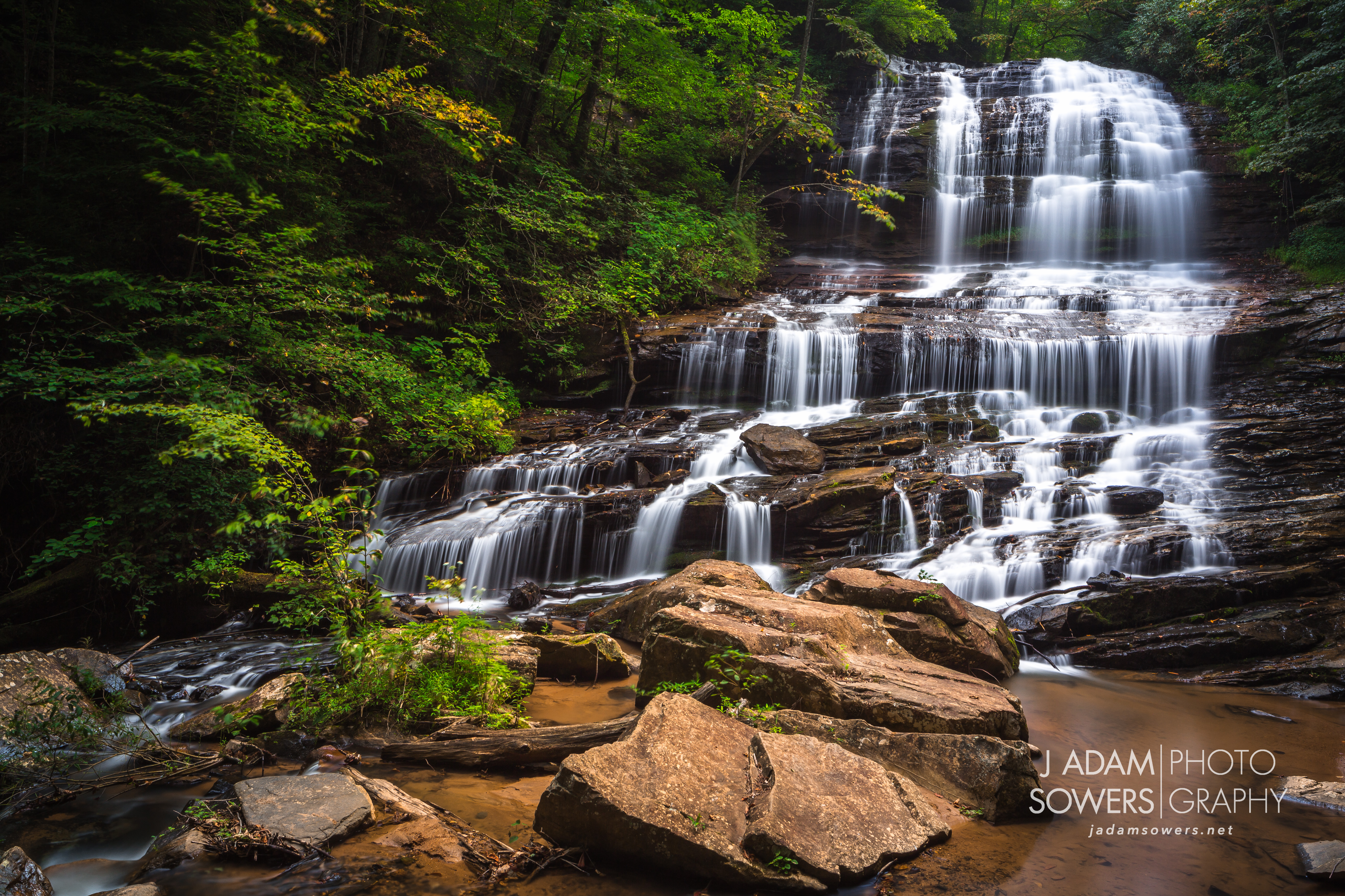
Pearson Falls-3960
It Didn't Come from Outer Space
Gentle Falls on the North Pacolet River
Pearson's Falls

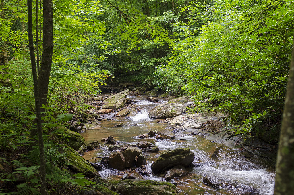
Bradley Falls creek

Water Dancing on the Rocks
North Pacolet River II
Topographic Map of Lakeview Dr, Tryon, NC, USA
Find elevation by address:

Places near Lakeview Dr, Tryon, NC, USA:
219 Lakeview Dr
219 Lakeview Dr
Mountain Lakes Drive
Mountain Lakes Drive
939 Mountain Lakes Dr
1068 Mountain Lakes Dr
932 Mountain Lakes Dr
180 Pinnacle Dr
55 Summit Rd
1550 Melrose Mountain Rd
5042 State Rd 1116
5042 State Rd 1116
5042 State Rd 1116
5042 State Rd 1116
5042 State Rd 1116
388 Summit Rd
342 Summit Rd
1285 Melrose Mountain Rd
1285 Melrose Mountain Rd
600 Summit Rd
Recent Searches:
- Elevation of Spaceport America, Co Rd A, Truth or Consequences, NM, USA
- Elevation of Warwick, RI, USA
- Elevation of Fern Rd, Whitmore, CA, USA
- Elevation of 62 Abbey St, Marshfield, MA, USA
- Elevation of Fernwood, Bradenton, FL, USA
- Elevation of Felindre, Swansea SA5 7LU, UK
- Elevation of Leyte Industrial Development Estate, Isabel, Leyte, Philippines
- Elevation of W Granada St, Tampa, FL, USA
- Elevation of Pykes Down, Ivybridge PL21 0BY, UK
- Elevation of Jalan Senandin, Lutong, Miri, Sarawak, Malaysia