Elevation of Tryon, NC, USA
Location: United States > North Carolina > Polk County > Tryon >
Longitude: -82.238447
Latitude: 35.2081694
Elevation: 342m / 1122feet
Barometric Pressure: 97KPa
Elevation Map:
Satellite Map:
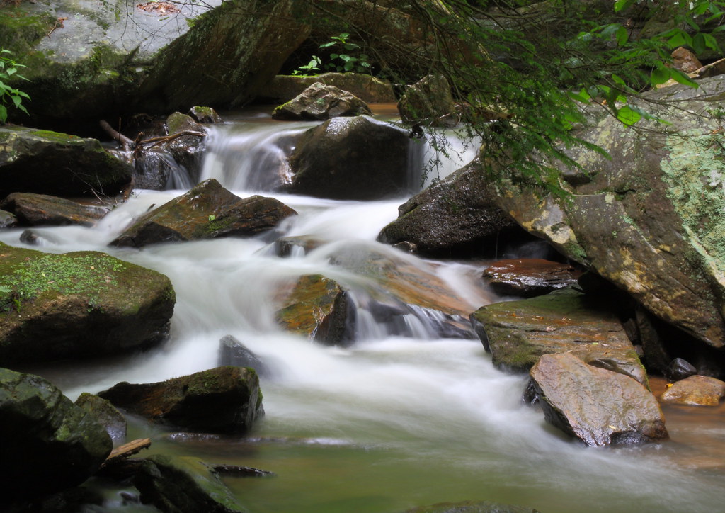
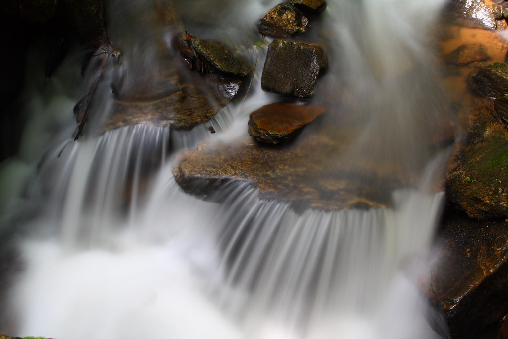
Related Photos:

PEARSON'S FALLS BLUE RIDGE MOUNTAINS ~ N.C.

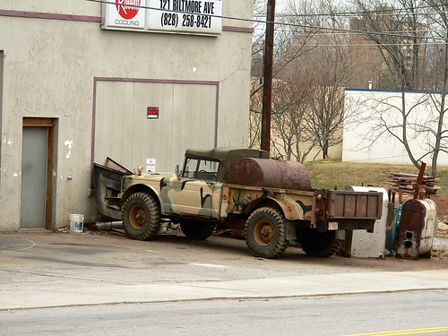
Federal Sign & Signal Model 5T - Campobello, SC

Pearson Lower New Trail - Read Description
Cascading Water
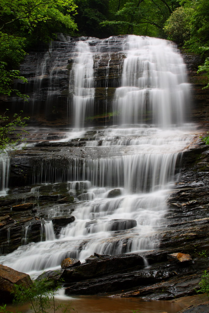
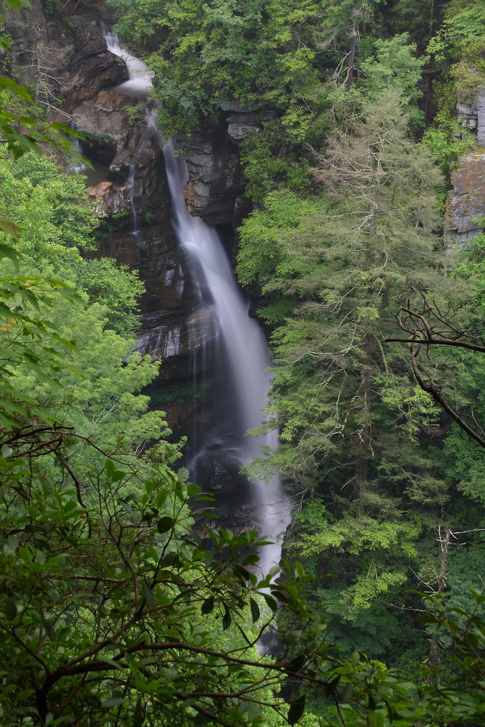
Pearson's Falls
In a Hurry
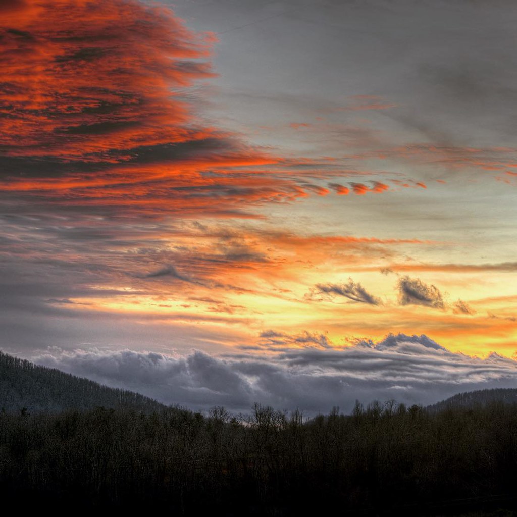
#saluda #sunset #happynewyears #lastsunset #2015 #northcarolina #nc #dramatic #mountain #view
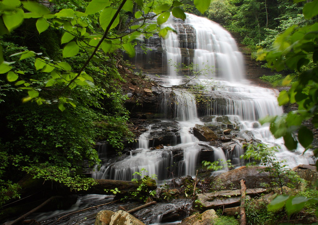
Pearson's Falls-through the Trees
Just a Trickle
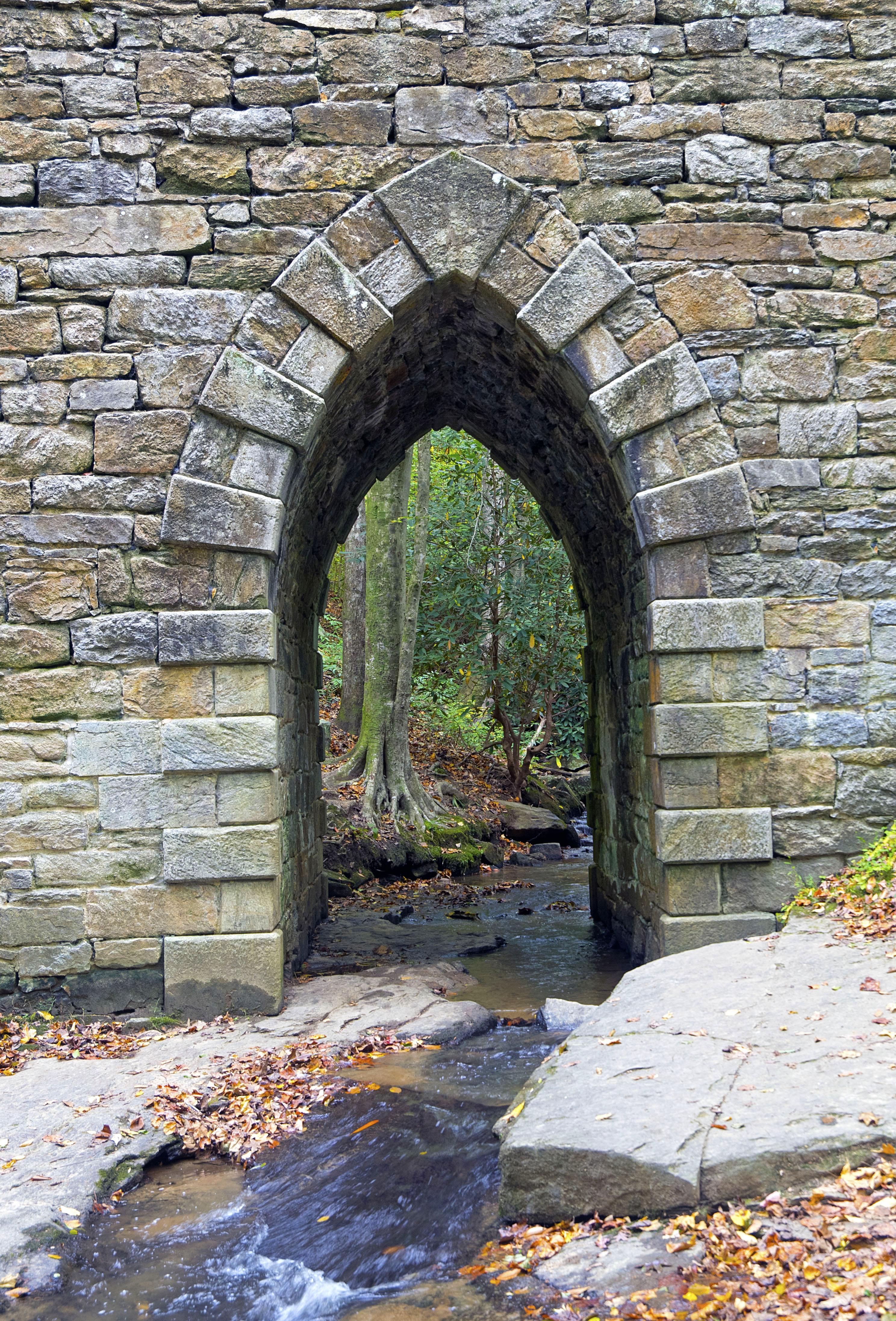
Poinsett Bridge 10-24-2014 - Bridge 2
P1050575.JPG
P1050582.JPG

High Bridge (Side View)
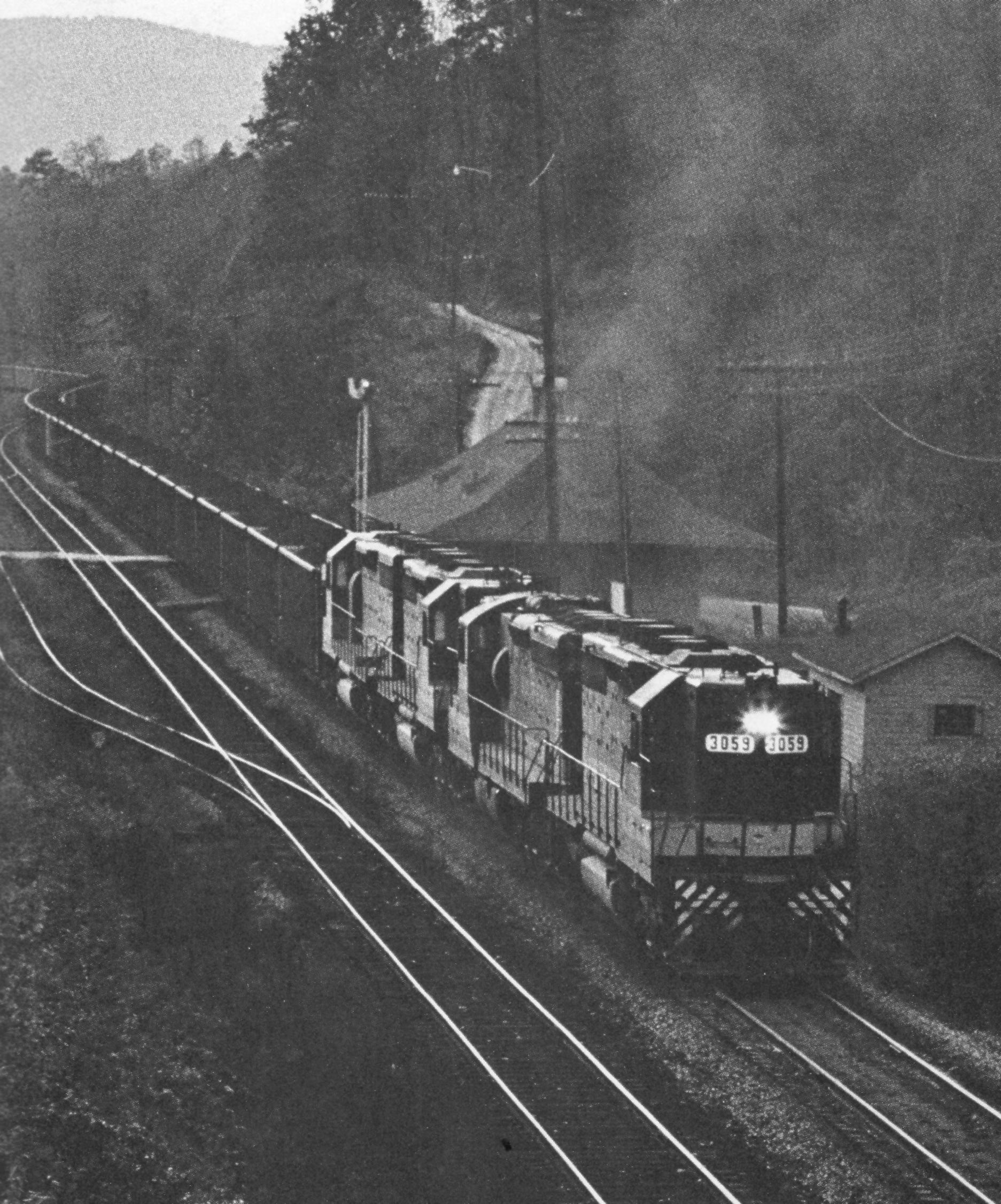
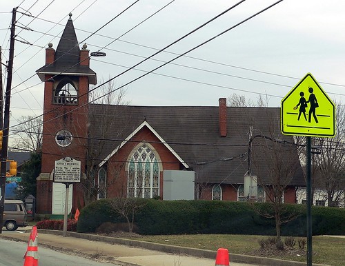
Belmont Coal Train Passing Saluda Depot, 1967
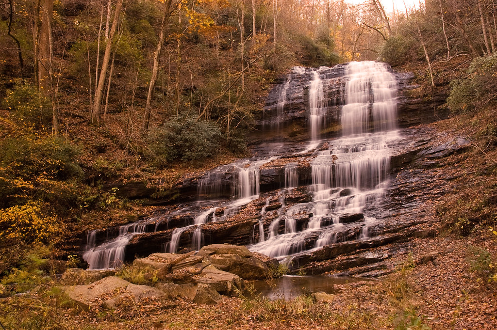
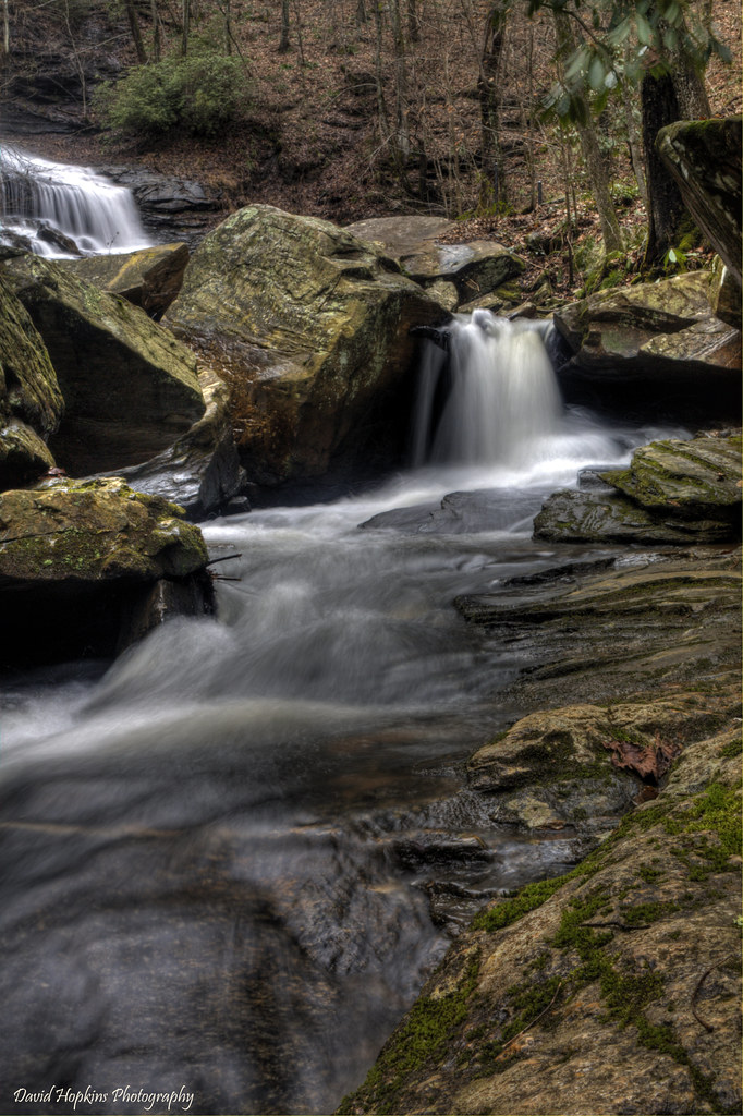
Big Bradley Falls
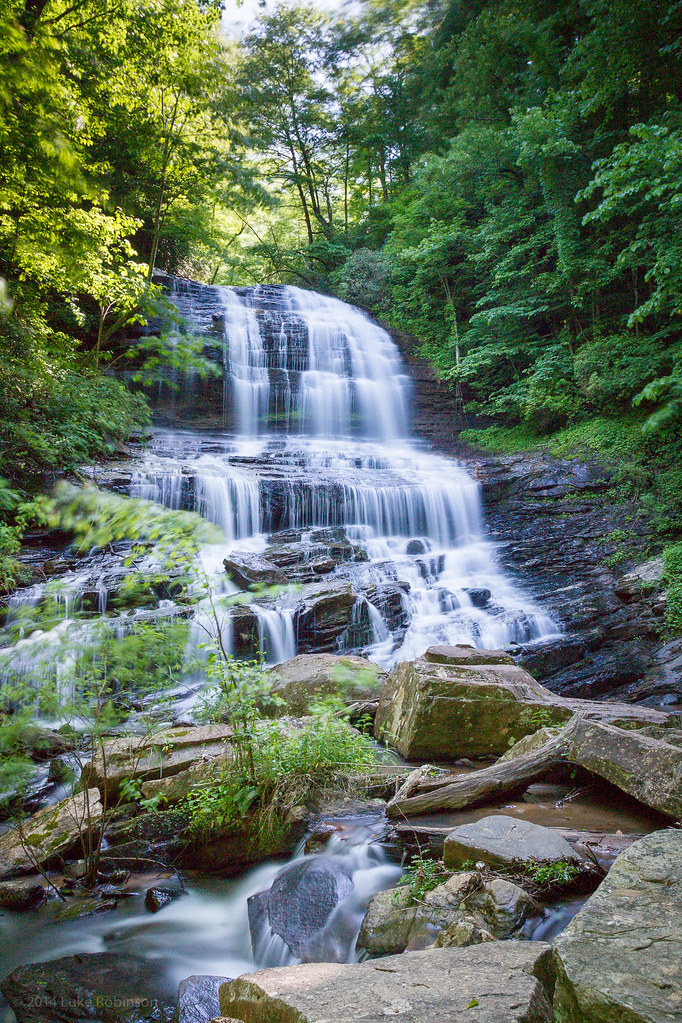
Pearson's Falls
P1050581.JPG
Morning Stroll
out to pasture

Blue Ridge Mountain View from our vacation cabin porch (HDR)

Day 1235 - The View
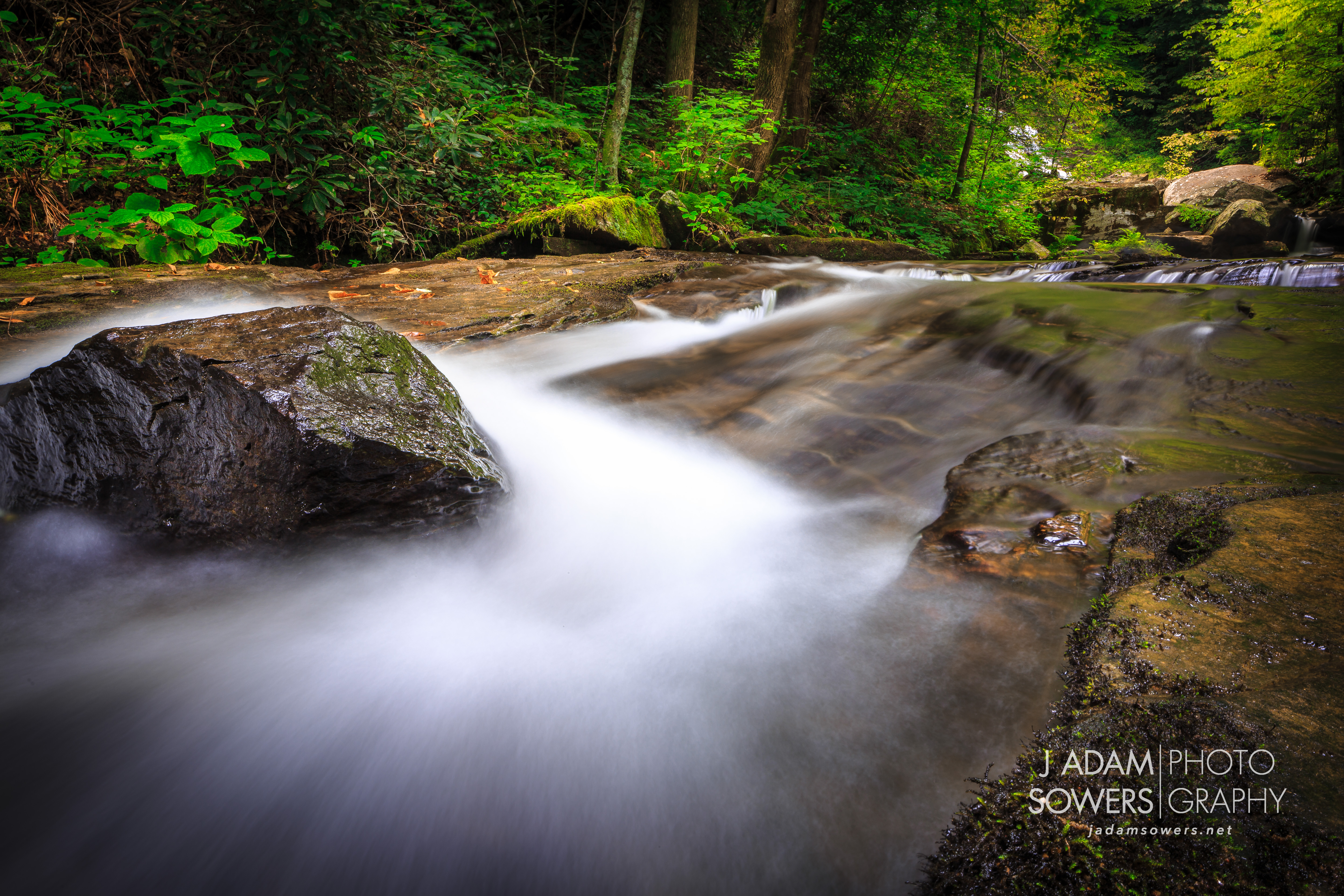
Poinsett Cascade

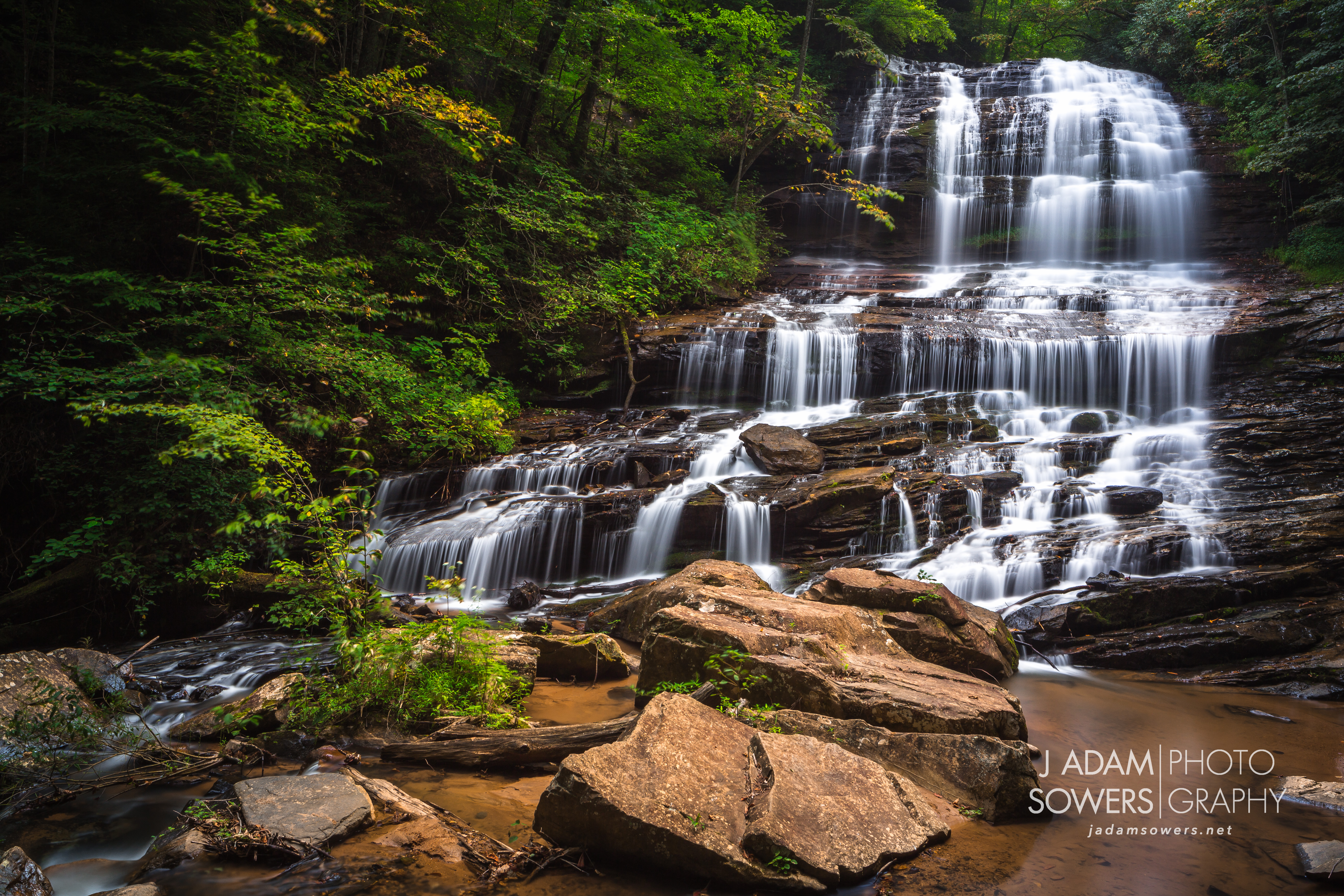
Pearsons Falls
Pearson's Falls, North Carolina

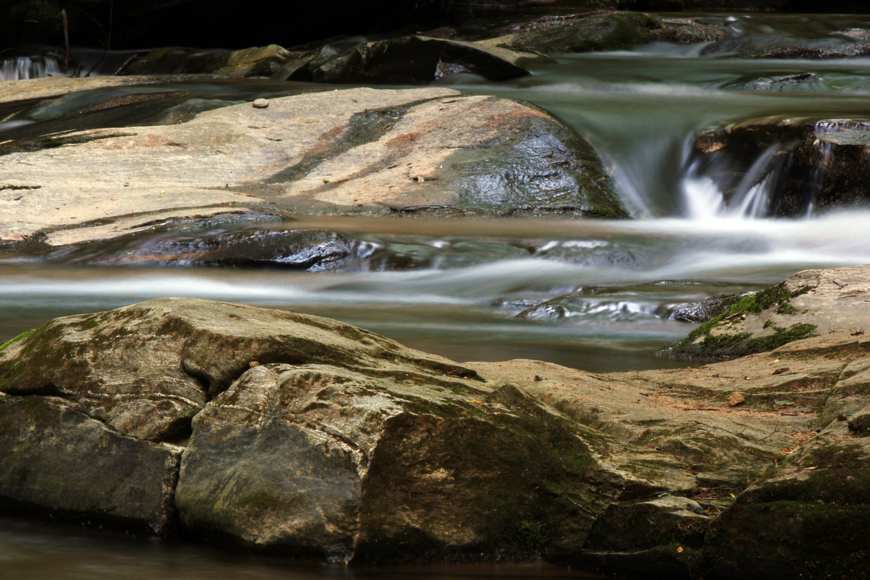
Poinsett Flow

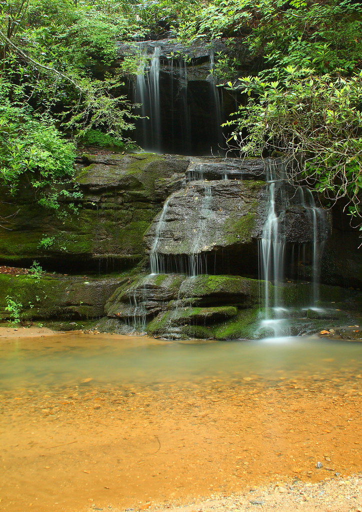
Small Waterfall at Pearson's Falls
Pearson's Falls

Pearson's Falls

Pearson Falls-3960
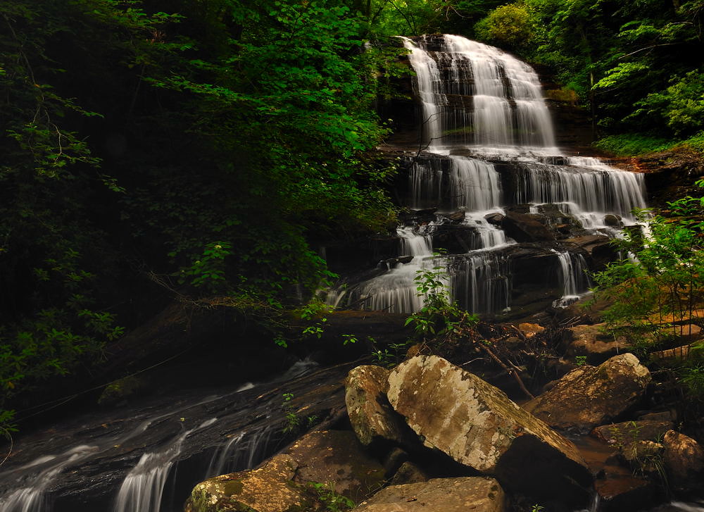
Pearson's Falls, N.C.
Pearson's Cascades
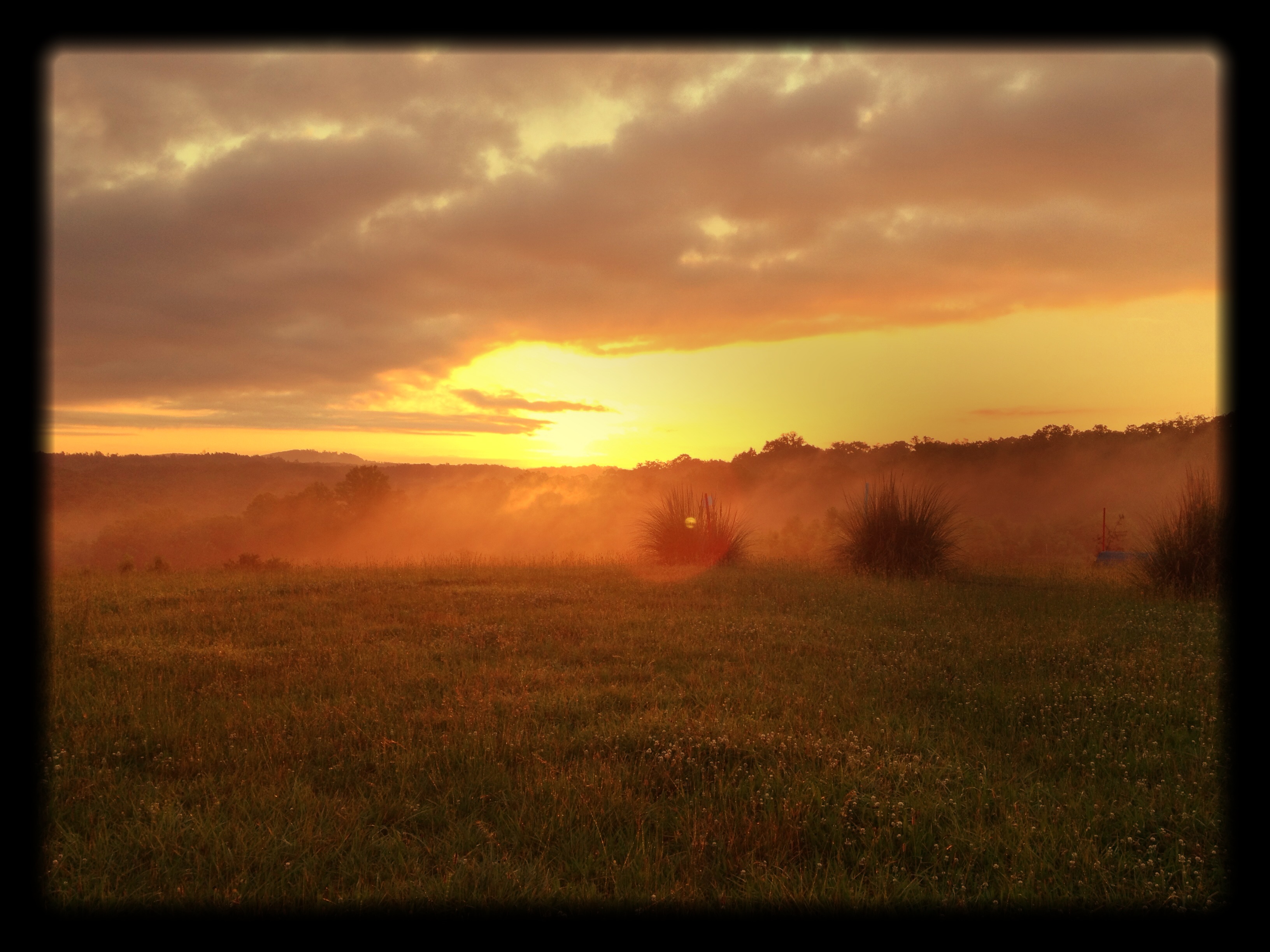
It's a Beautiful Morning in the Blue Ridge Foothills.
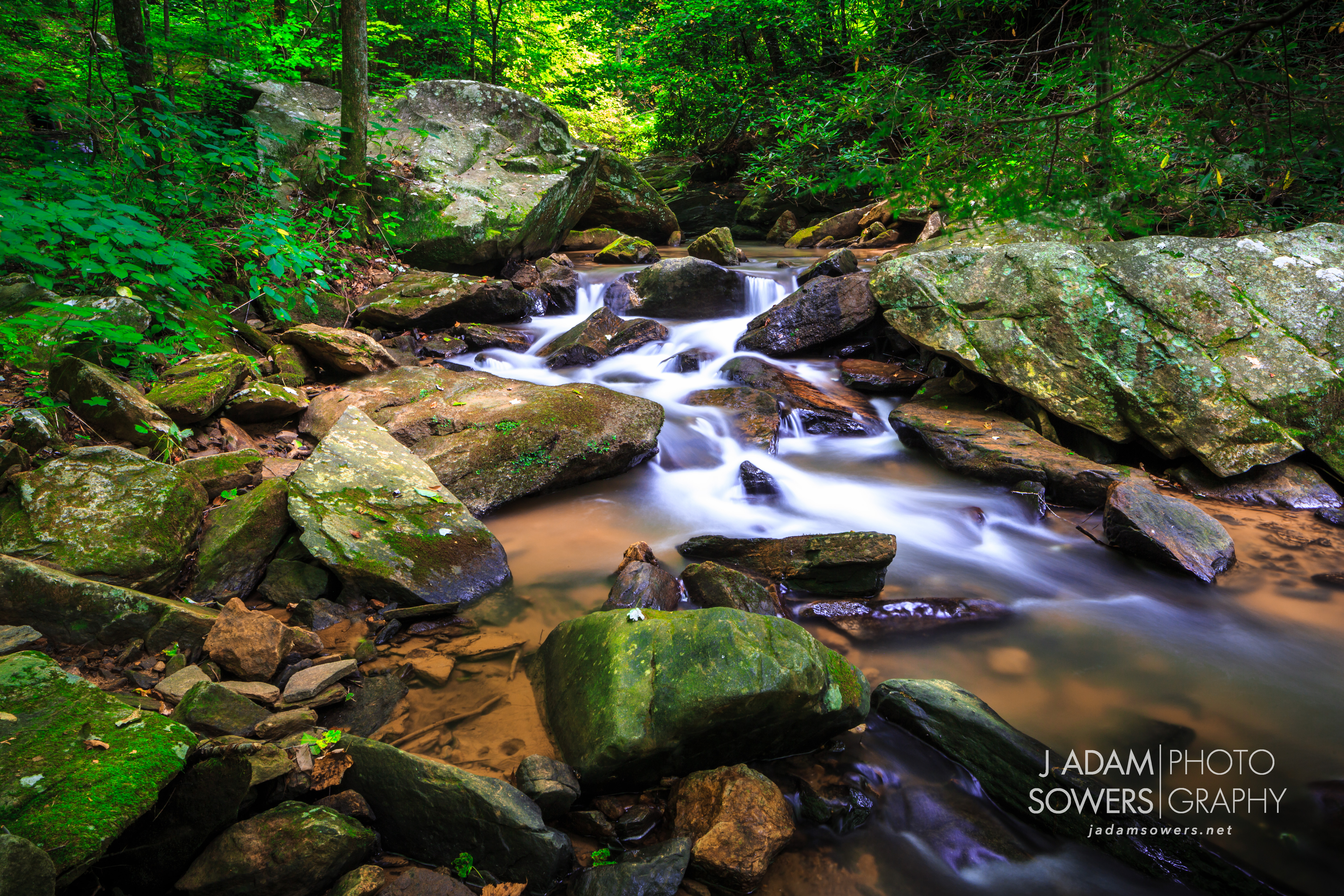
Pearson's Falls creek

Bradley Falls creek

#mountain #clouds #evening
Green River Detail
Fighting the flow
Topographic Map of Tryon, NC, USA
Find elevation by address:

Places in Tryon, NC, USA:
Red Fox Road
U.s. 176
Melrose Mountain Road
Hogback Mountain Road
Omega Drive
Bear Creek Lane
Mountain Lakes Drive
U.s. 176
Aurora Lane
Holbert Cabin Lane
Holbert Cabin Lane
Catawba Drive
Bear Creek Lane
Bear Creek Lane
Melrose Mountain
Rockwood Lane
Mountain Lakes Drive
Holbert Cabin Lane
Laurel Way
Forest Lane
Places near Tryon, NC, USA:
U.s. 176
215 S Trade St
364 Melrose Ave
125 Grady Ave
34 Broadway
335 Melrose Ave
275 Glenwalden Cir
200 Woodland Rd
336 Melrose Ave
100 Glenwalden Cir
Forest Lane
766 Carolina Dr
592 Braewick Rd
164 Winners Cir
811 Carolina Dr
530 Laurel Dr
Laurel Way
350 State Rd 1115
1151 Markham Rd
120 Thousand Pines Ln
Recent Searches:
- Elevation of Rojo Ct, Atascadero, CA, USA
- Elevation of Flagstaff Drive, Flagstaff Dr, North Carolina, USA
- Elevation of Avery Ln, Lakeland, FL, USA
- Elevation of Woolwine, VA, USA
- Elevation of Lumagwas Diversified Farmers Multi-Purpose Cooperative, Lumagwas, Adtuyon, RV32+MH7, Pangantucan, Bukidnon, Philippines
- Elevation of Homestead Ridge, New Braunfels, TX, USA
- Elevation of Orchard Road, Orchard Rd, Marlborough, NY, USA
- Elevation of 12 Hutchinson Woods Dr, Fletcher, NC, USA
- Elevation of Holloway Ave, San Francisco, CA, USA
- Elevation of Norfolk, NY, USA