Elevation of Lakeview Dr, Cedar Creek, NE, USA
Location: United States > Nebraska > Cass County > Eight Mile Grove > Cedar Creek >
Longitude: -96.104539
Latitude: 41.039528
Elevation: 310m / 1017feet
Barometric Pressure: 98KPa
Elevation Map:
Satellite Map:
Related Photos:

A beautiful cool spring evening

Gateway to Heaven ~ Explore 01/06/2012

Families were out enjoying the day.

Holy Family Shrine

Split Window Beetle - Omaha Volkswagen Club Show and Shine

Platte River Overlook

27Jun08 Severe Storm

Summer Evenings

View from the Top

Black Bear, Hungry Bear!

Ground view GaGa

Snowy street (panoramic)

Thursday Morning Chapel

Flatwater Chapel

2nd Street Bridge
I-80

View out the window, Omaha Motel 6

Flowers in the field

3D Camera 088/365 5/12/11

I-80 Platte River Crossing

Scenic View 2 - Melia Hill Rest Area, Nebraska

Sunrise at the Field

At the Lake

Ice Circle

Crisp fall dusk around the lake

Good Morning, Deer

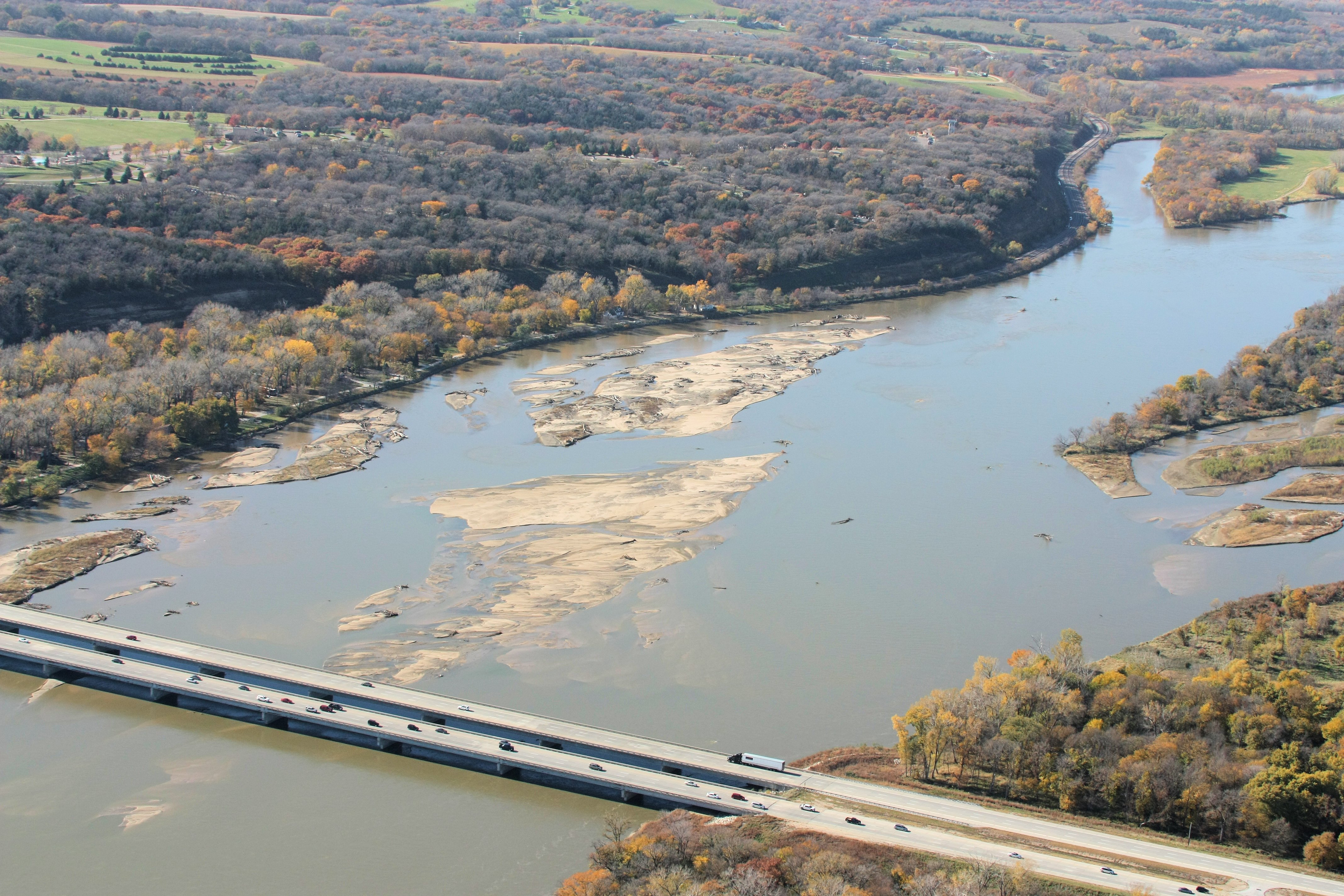
Platte River Bridges - La Platte NE

Farmer's Sunrise
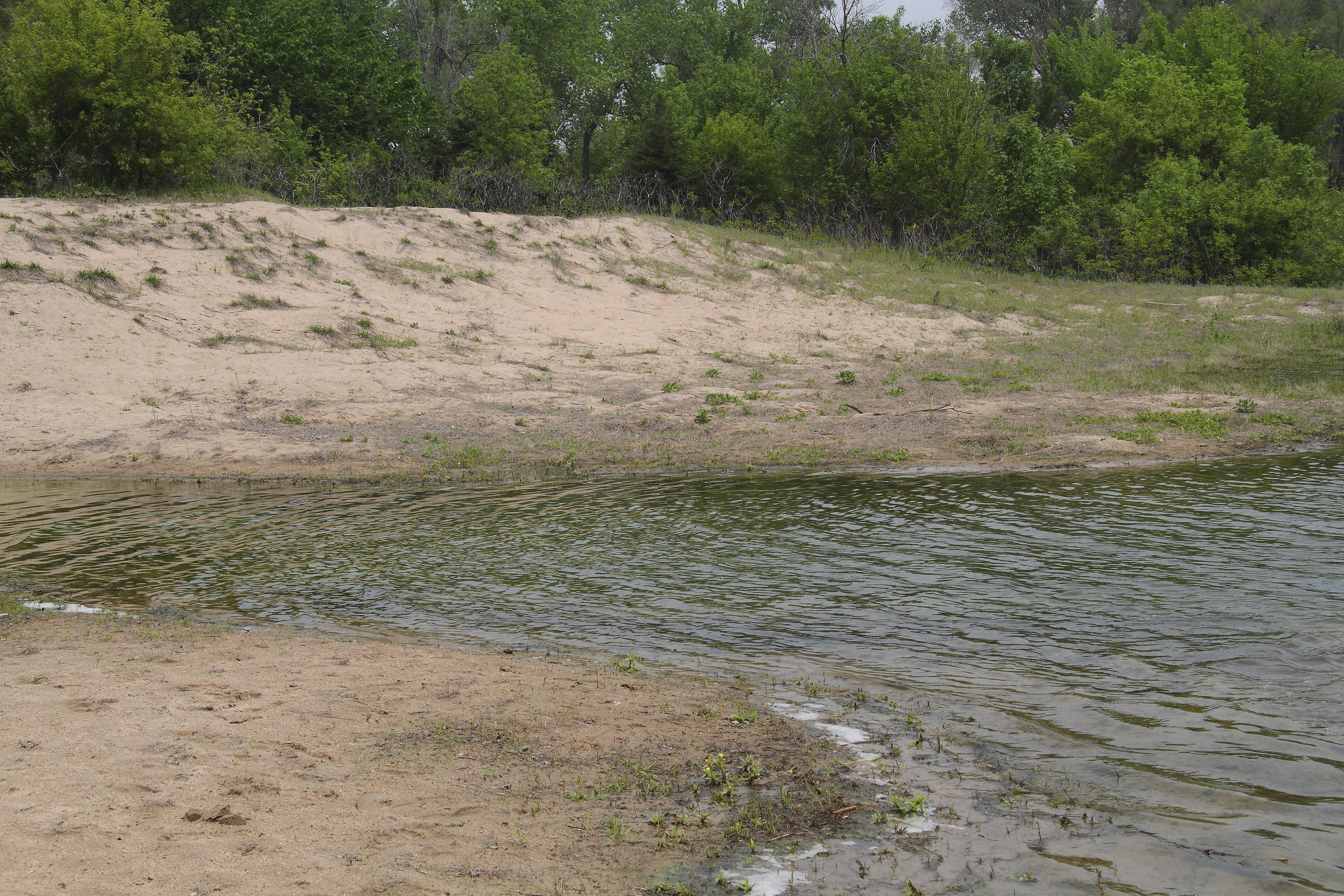
Combo upland sand & beach sand habitat

Blythe a Day June: 12 Right or Left

summer solstice ~♥~ midsummer

Yabba's Deer Emporium
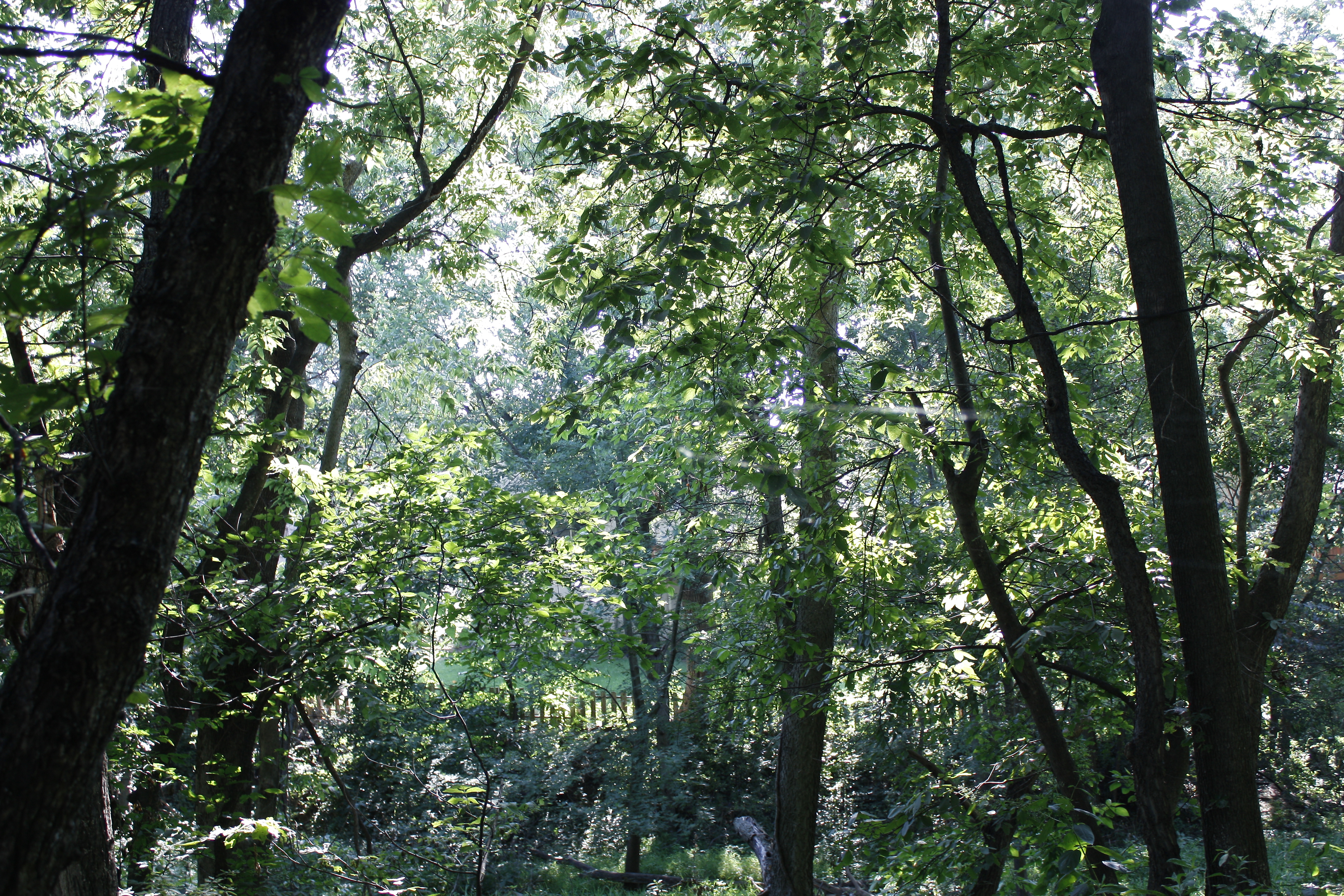
The deep dark forest

Peaceful giants

barn & windmill

Crisp fall dusk around the lake

Werner Park

Fall morning walk #fall #autumn #bellevue

Site for Natural Prairie

juniors at the lake

Campers swimming in the pool
Topographic Map of Lakeview Dr, Cedar Creek, NE, USA
Find elevation by address:

Places near Lakeview Dr, Cedar Creek, NE, USA:
4002 Lakeview Dr
2038 Sunset Dr
Cedar Creek
Springfield
Eight Mile Grove
Louisville
15801 Ne-31
Platford-springfield Ii
Main St, Louisville, NE, USA
Louisville
S th St, Papillion, NE, USA
Sarpy County
2409 Corn Dr
35310 E Park Hwy
35310 E Park Hwy
Platte River State Park
Laplatte Ii
4401 Brook St
105 Nebraska St
South Bend
Recent Searches:
- Elevation of Congressional Dr, Stevensville, MD, USA
- Elevation of Bellview Rd, McLean, VA, USA
- Elevation of Stage Island Rd, Chatham, MA, USA
- Elevation of Shibuya Scramble Crossing, 21 Udagawacho, Shibuya City, Tokyo -, Japan
- Elevation of Jadagoniai, Kaunas District Municipality, Lithuania
- Elevation of Pagonija rock, Kranto 7-oji g. 8"N, Kaunas, Lithuania
- Elevation of Co Rd 87, Jamestown, CO, USA
- Elevation of Tenjo, Cundinamarca, Colombia
- Elevation of Côte-des-Neiges, Montreal, QC H4A 3J6, Canada
- Elevation of Bobcat Dr, Helena, MT, USA