Elevation of Cass County, NE, USA
Location: United States > Nebraska >
Longitude: -96.152698
Latitude: 40.8755529
Elevation: 366m / 1201feet
Barometric Pressure: 97KPa
Elevation Map:
Satellite Map:
Related Photos:

Families were out enjoying the day.
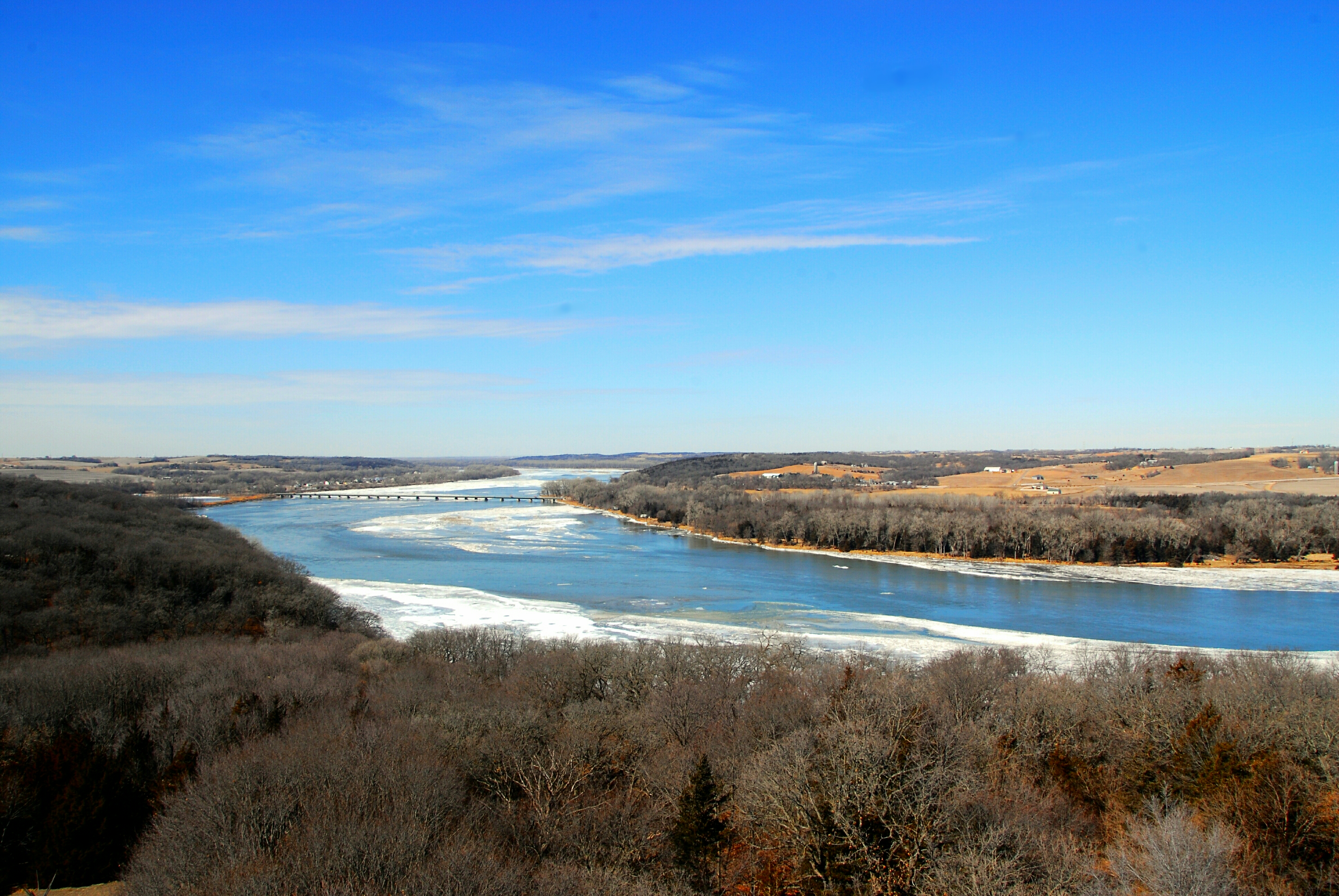
Platte River Overlook

Downtown Christmas

Summer Evenings

2nd Street Bridge

inside or out

View from the Top
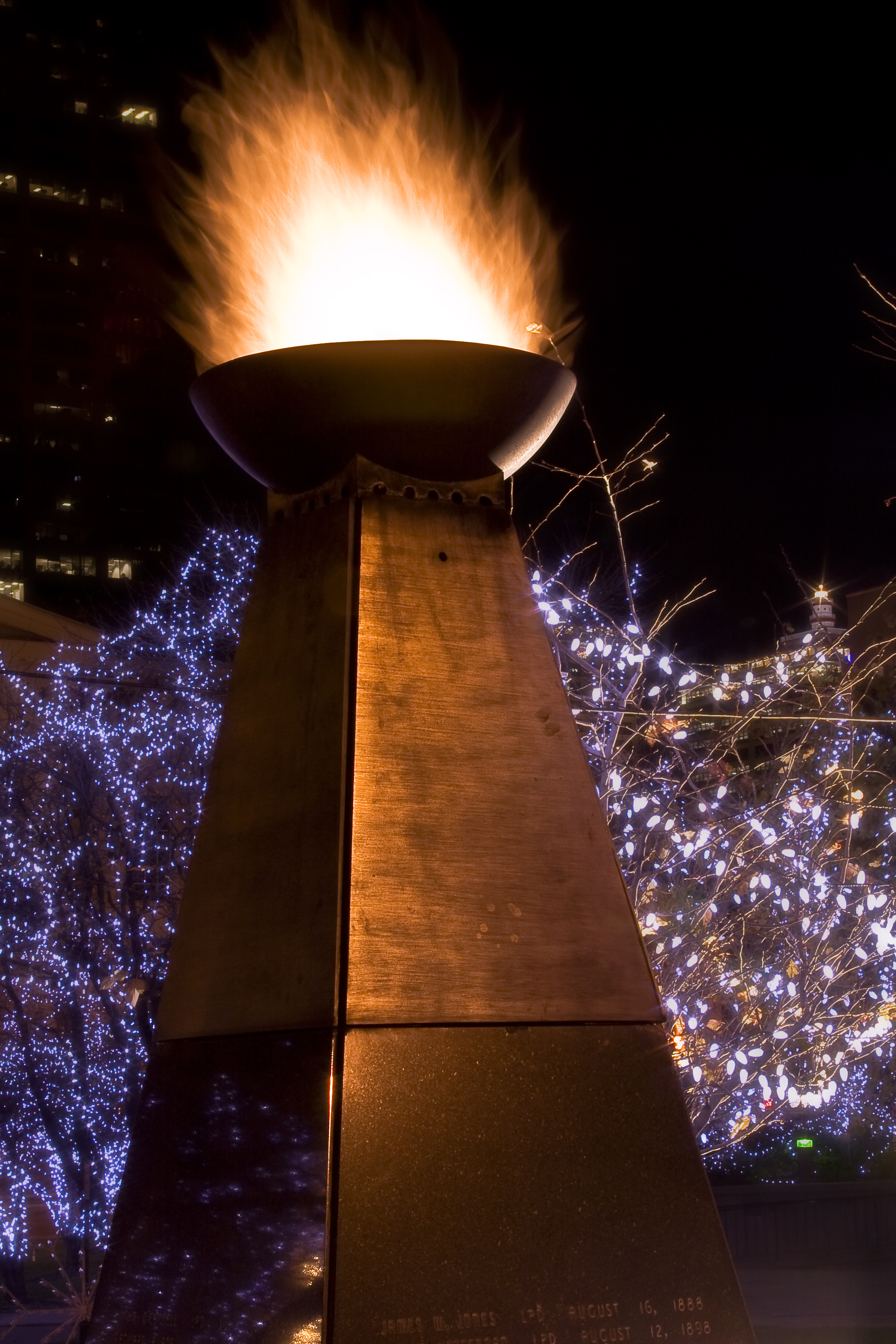
Fire and Ice

Christmas tree downtown
As seen from atop the viewing tower

Ground view GaGa

Frozen Stream

Flatwater Chapel

Thursday Morning Chapel

Frozen Geography
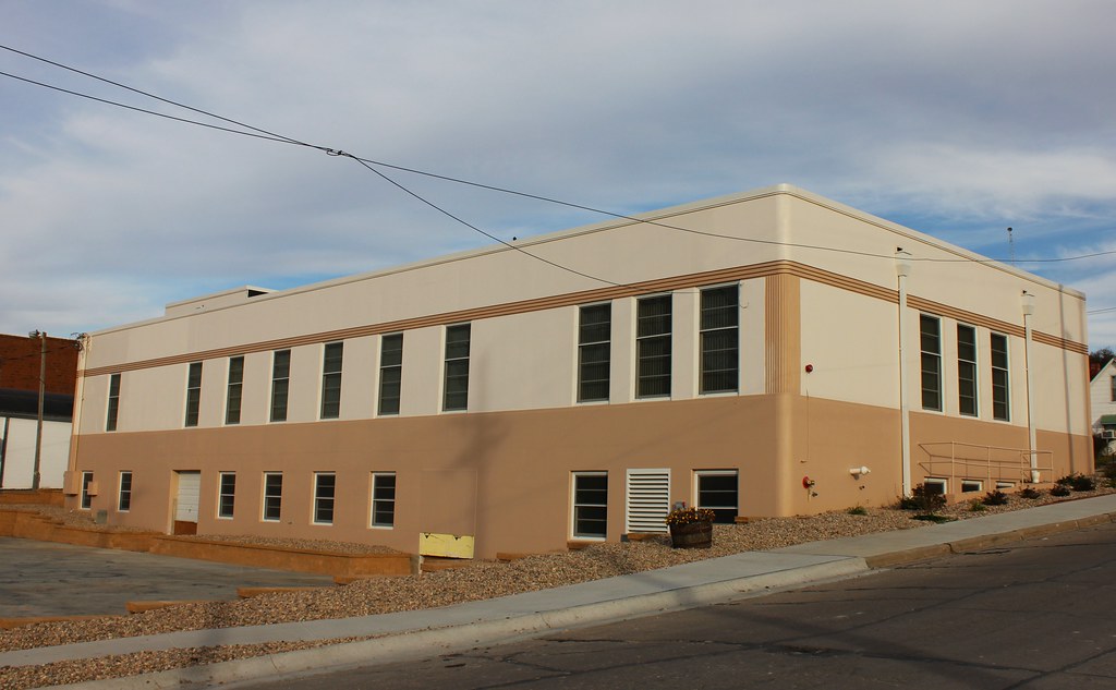
Cass County Agricultural Society Auditorium (rear view) - Weeping Water, NE

Singular Surrender

Down Stream, Down Low

Night Harvest

Great Expectations

Platte River State Park Waterfall

Rural Gentrification
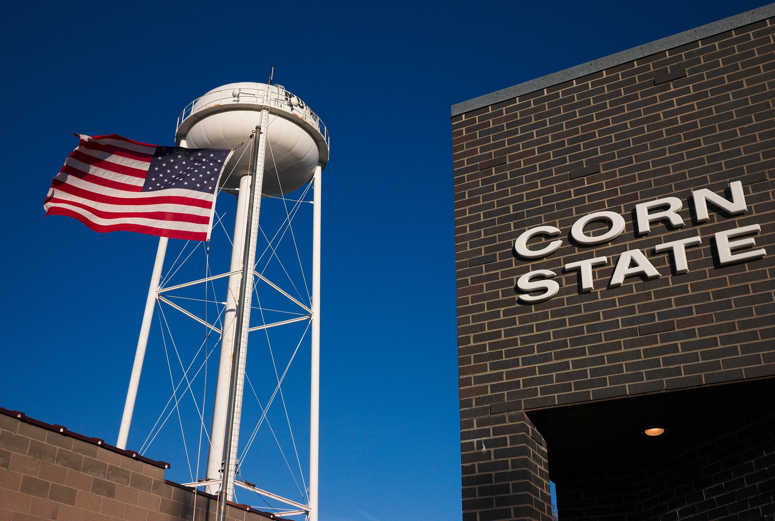
Corn State, Murdock, NE, December, 2008

Main Street, Murdock, NE, December, 2008

Platte Bleu

Skimming the Surface

A Break In the Storm

Louisville, Jul 25, 2008
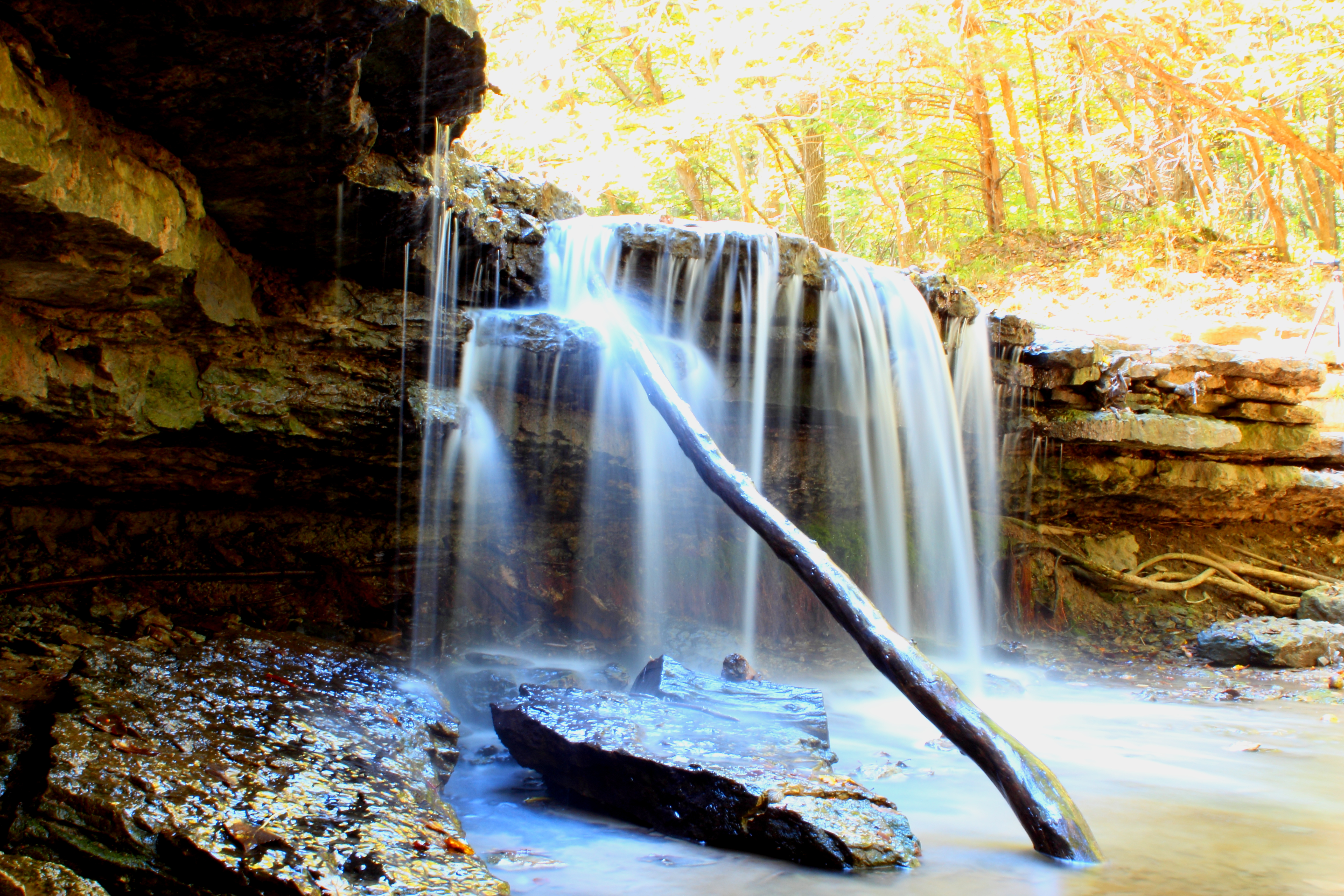
platte river falls 3

Sunset from the Top of the World

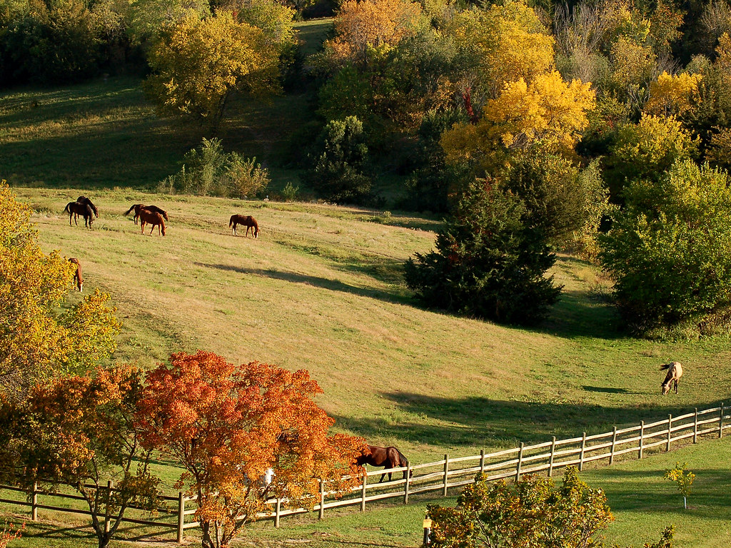
Peaceful giants
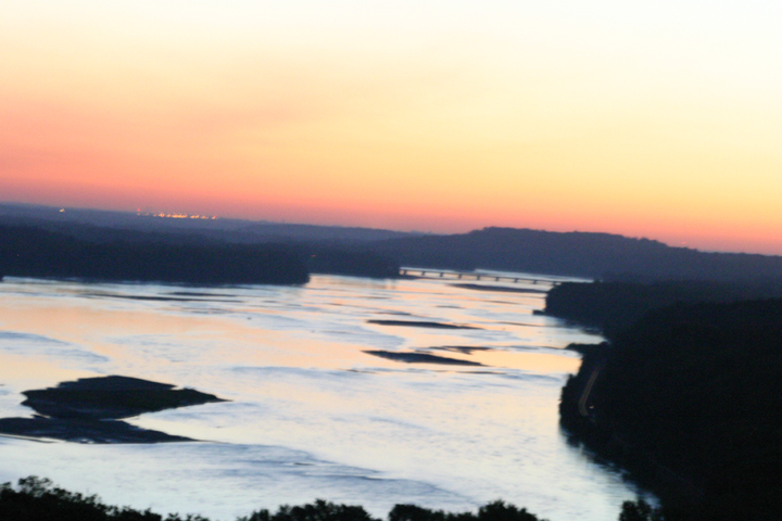
Sunrise Pic over Platte River

Sun and Moon

Open Flow

Louisville, Jul 25, 2008

platte river state park - waterfall
Topographic Map of Cass County, NE, USA
Find elevation by address:

Places in Cass County, NE, USA:
Nehawka
Plattsmouth
Louisville
Nehawka
Nehawka
Nehawka
Nehawka
Nehawka
Nehawka
Nehawka
Nehawka
Nehawka
Nehawka
Nehawka
Weeping Water
South Bend
Nehawka
Plattsmouth, NE, USA
Alvo
Union
Murdock, NE, USA
Elmwood, NE, USA
Center
Eight Mile Grove
Tipton
Places near Cass County, NE, USA:
I St, Weeping Water, NE, USA
Weeping Water
7614 Ne-50
Center
358th Street
Murdock, NE, USA
Elmwood, NE, USA
Nehawka
Nehawka
Nehawka
Nehawka
Nehawka
Nehawka
Nehawka
Nehawka
Nehawka
Nehawka
Nehawka
Nehawka
Nehawka
Recent Searches:
- Elevation of Corso Fratelli Cairoli, 35, Macerata MC, Italy
- Elevation of Tallevast Rd, Sarasota, FL, USA
- Elevation of 4th St E, Sonoma, CA, USA
- Elevation of Black Hollow Rd, Pennsdale, PA, USA
- Elevation of Oakland Ave, Williamsport, PA, USA
- Elevation of Pedrógão Grande, Portugal
- Elevation of Klee Dr, Martinsburg, WV, USA
- Elevation of Via Roma, Pieranica CR, Italy
- Elevation of Tavkvetili Mountain, Georgia
- Elevation of Hartfords Bluff Cir, Mt Pleasant, SC, USA