Elevation map of Lake Superior, MN, USA
Location: United States > Minnesota >
Longitude: -91.496463
Latitude: 47.5964304
Elevation: 562m / 1844feet
Barometric Pressure: 95KPa
Elevation Map:
Satellite Map:
Related Photos:
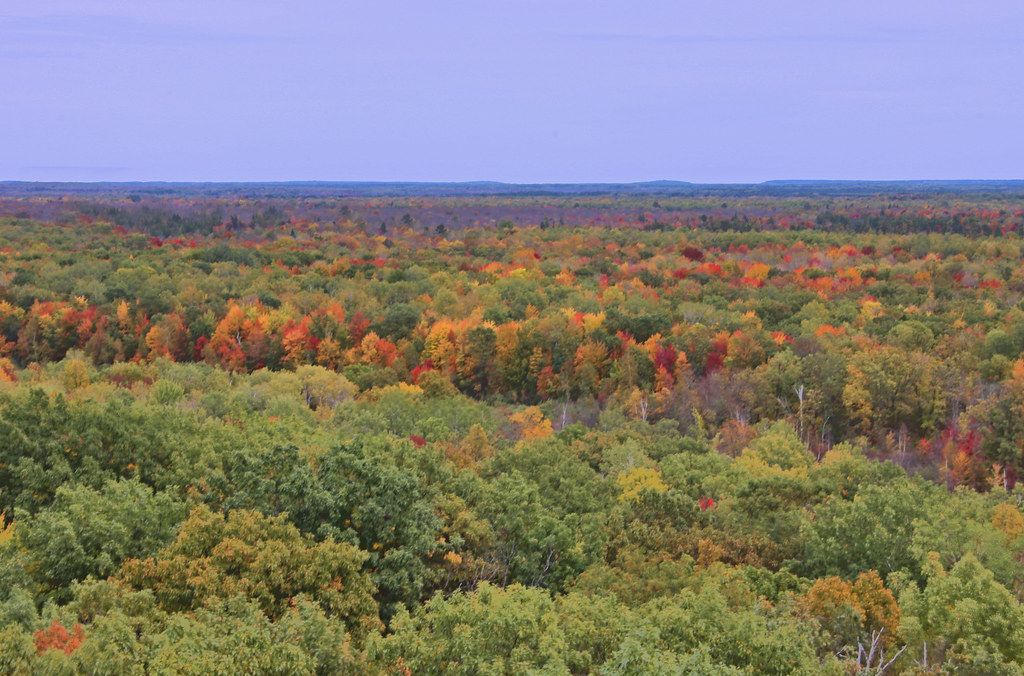
From The Fire Tower
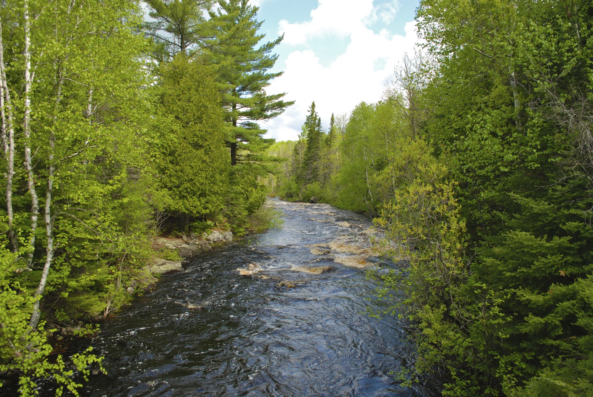
Stoney River
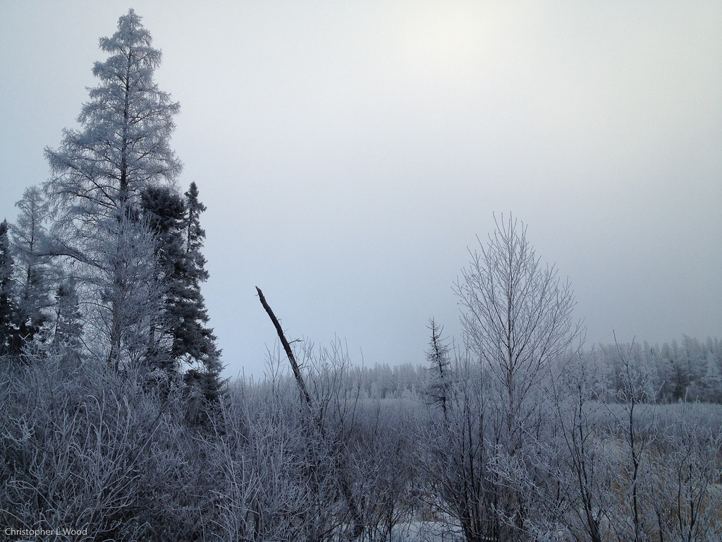
Morning frost
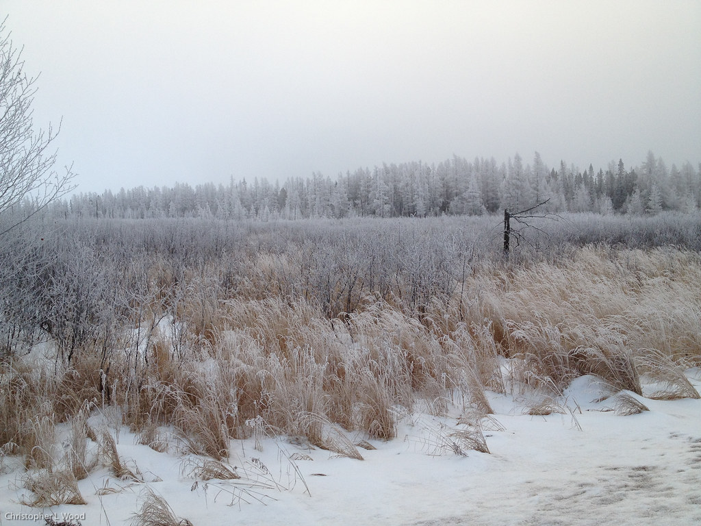
Morning frost

Silver-bordered Fritillary
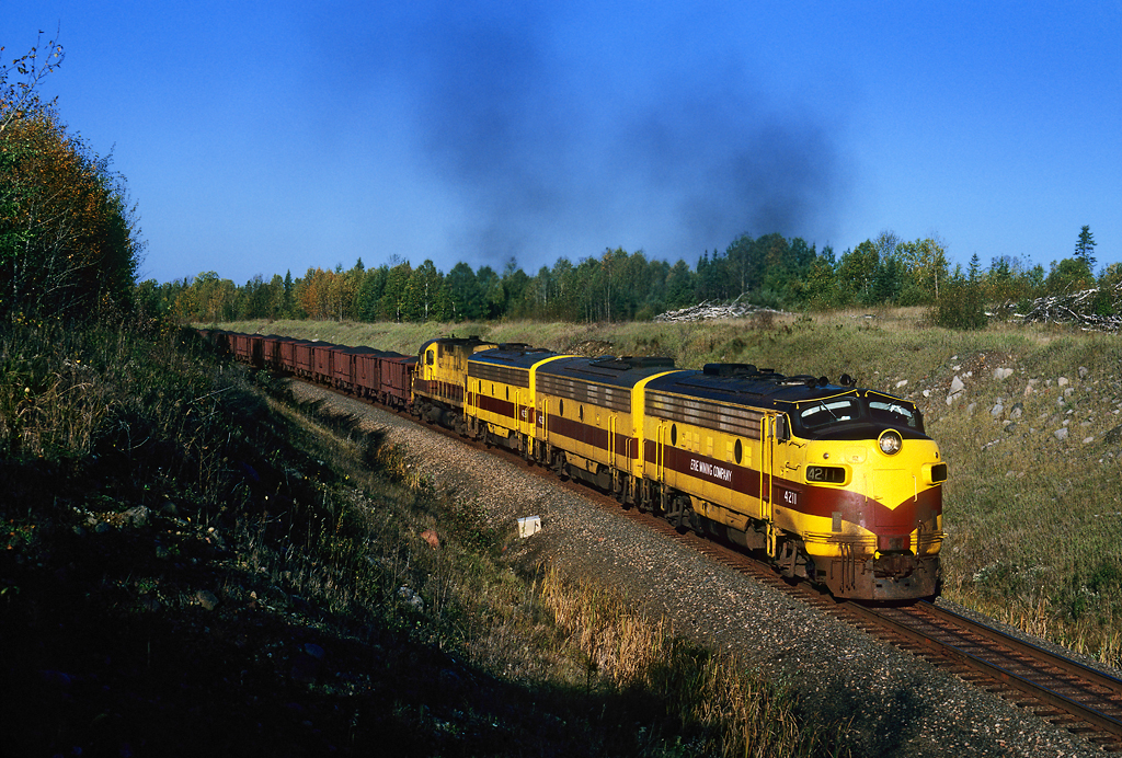
Last Run

Castor canadensis
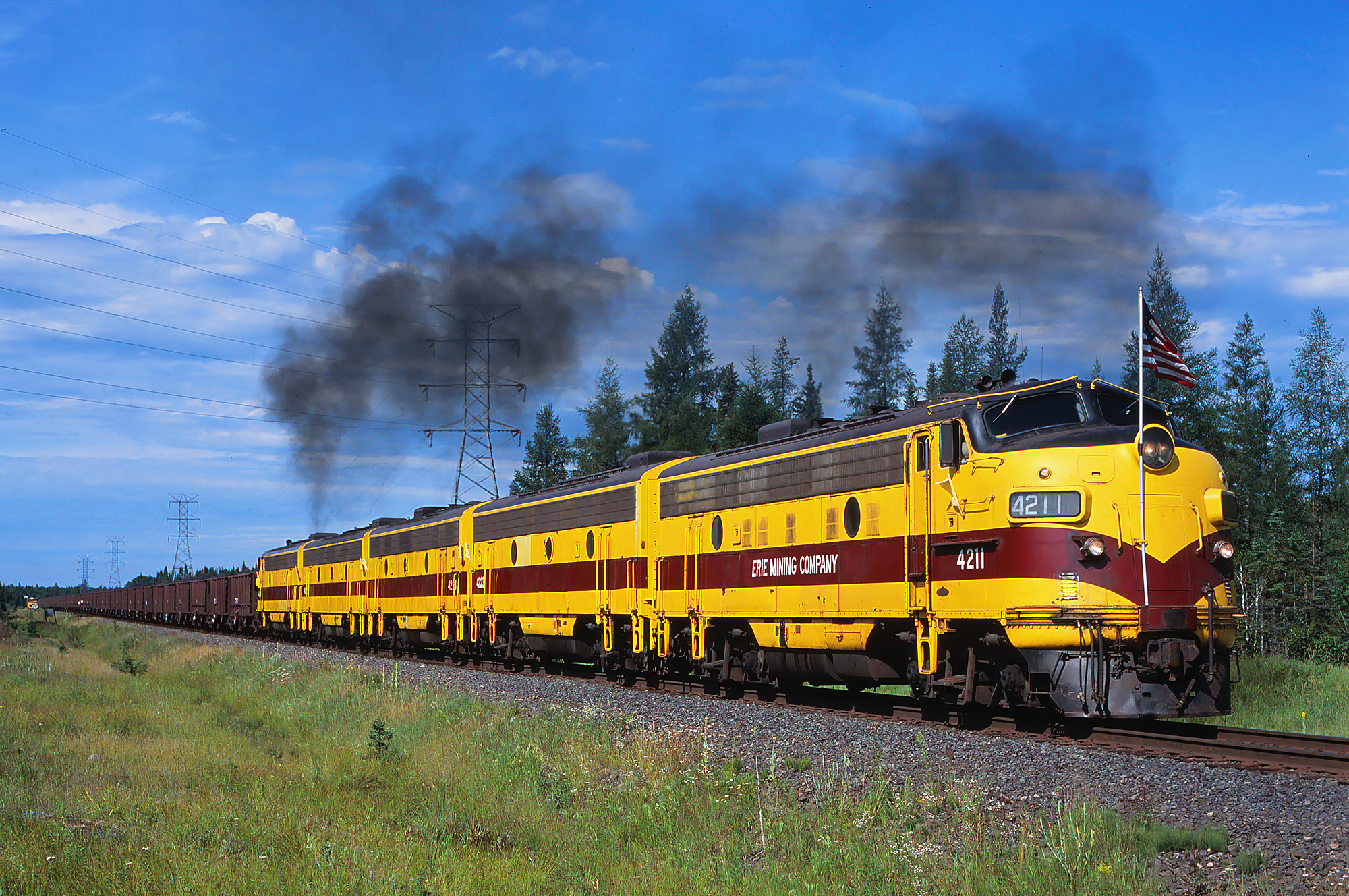
Eastbound at Sarto

Four-spotted Skimmer

American Lady

Ashy Clubtail

Chalk-fronted Corporal

Red Fox

Red Fox

Red Fox

Red Fox
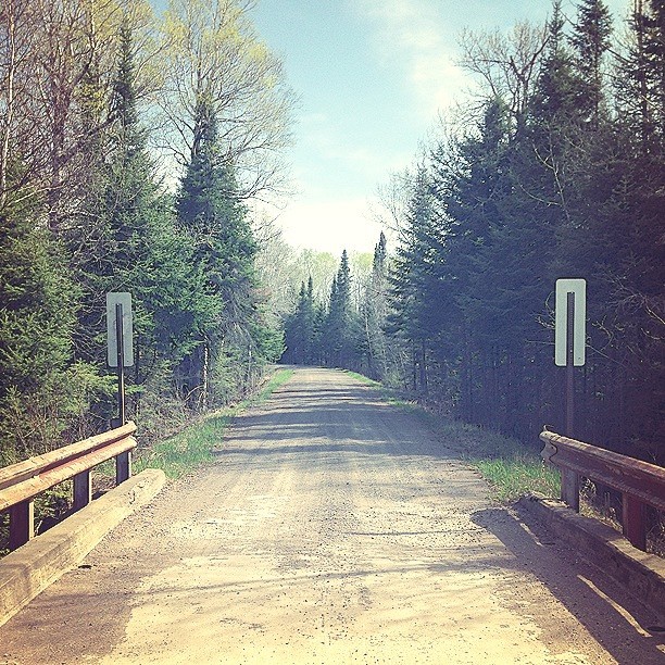
The bridge #woodcamera

Spruce Grouse

Flashback to a tree

Red Fox and Kit

Red Fox and Kit At Den
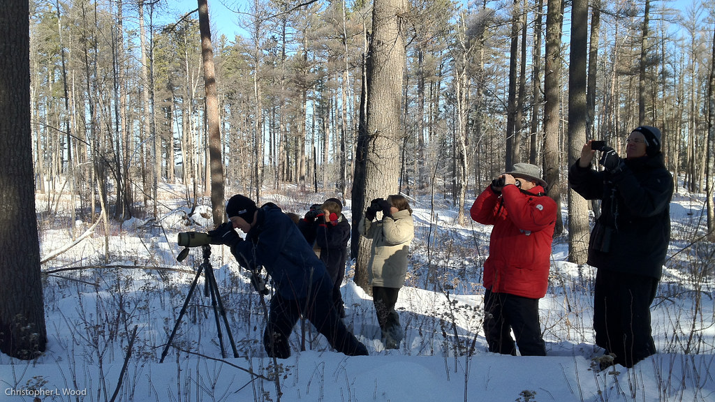
Watching Black-backed Woodpecker
Topographic Map of Lake Superior, MN, USA
Find elevation by address:

Places near Lake Superior, MN, USA:
Lake County
Stony River Township
Lake No. 2
Silver Creek Township
Bassett Township
4598 Mcalpine Spur
Two Harbors, MN, USA
3206 Mn-61
Fairbanks Rd, Brimson, MN, USA
Babbitt
Dogwood Road
Town Line Rd, Brimson, MN, USA
Brimson
Brimson Rd, Brimson, MN, USA
Co Hwy 3, Two Harbors, MN, USA
2586 County Hwy 2
Fairbanks Township
Forest Road c, Hoyt Lakes, MN, USA
2027 Co Hwy 3
Ault Township
Recent Searches:
- Elevation of Lampiasi St, Sarasota, FL, USA
- Elevation of Elwyn Dr, Roanoke Rapids, NC, USA
- Elevation of Congressional Dr, Stevensville, MD, USA
- Elevation of Bellview Rd, McLean, VA, USA
- Elevation of Stage Island Rd, Chatham, MA, USA
- Elevation of Shibuya Scramble Crossing, 21 Udagawacho, Shibuya City, Tokyo -, Japan
- Elevation of Jadagoniai, Kaunas District Municipality, Lithuania
- Elevation of Pagonija rock, Kranto 7-oji g. 8"N, Kaunas, Lithuania
- Elevation of Co Rd 87, Jamestown, CO, USA
- Elevation of Tenjo, Cundinamarca, Colombia