Elevation of Ault Township, MN, USA
Location: United States > Minnesota > St. Louis County >
Longitude: -91.919835
Latitude: 47.2568063
Elevation: 469m / 1539feet
Barometric Pressure: 96KPa
Elevation Map:
Satellite Map:
Related Photos:
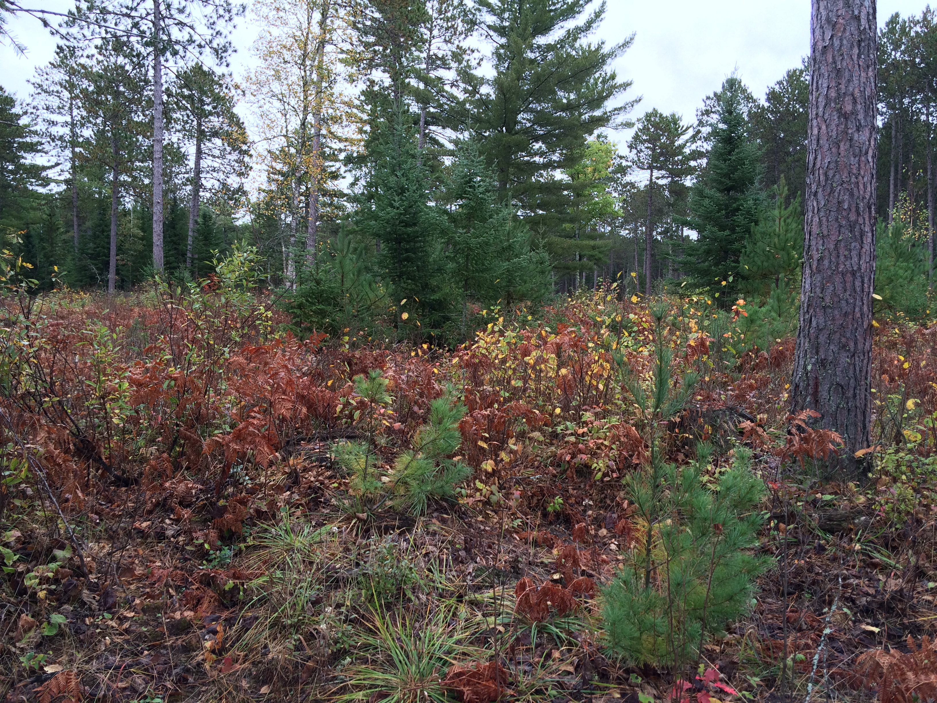
View of stand post-treatment, on south side of Jim Readdy Rd
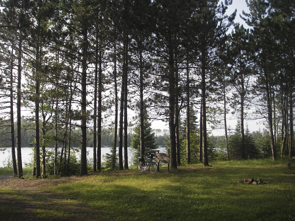
Typical Minnesota Landscape
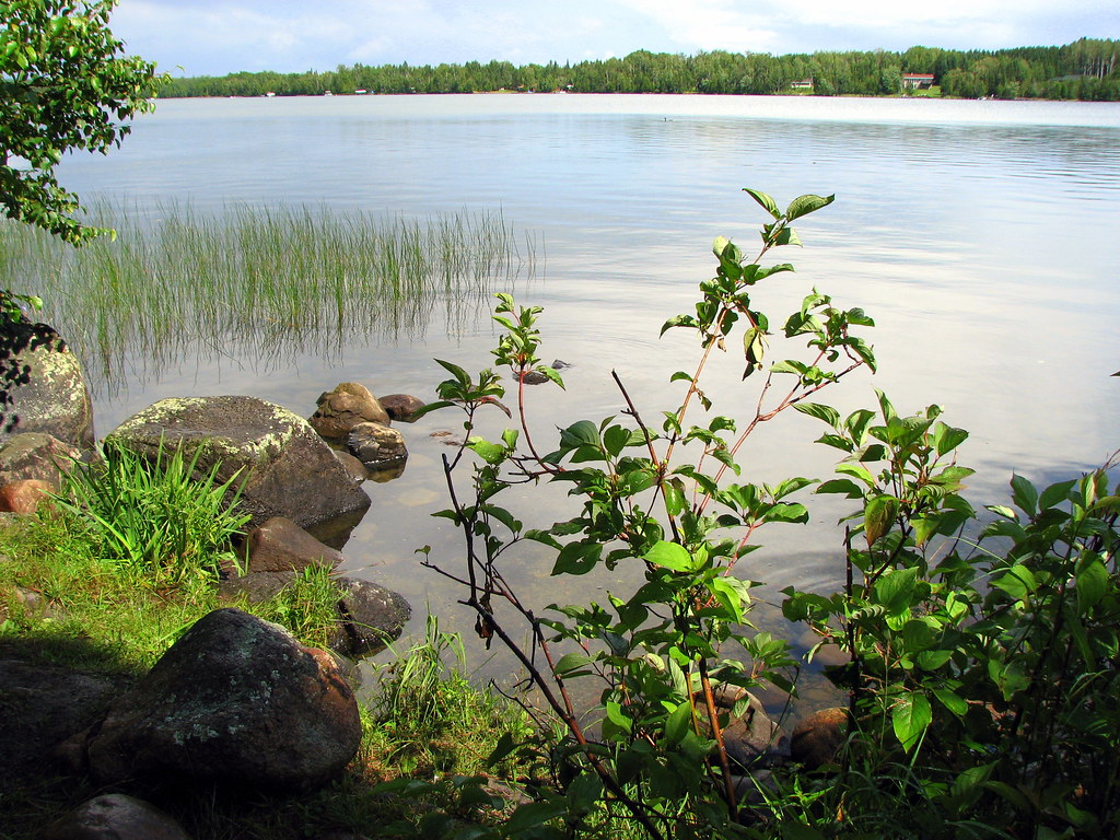
Sullivan Lake
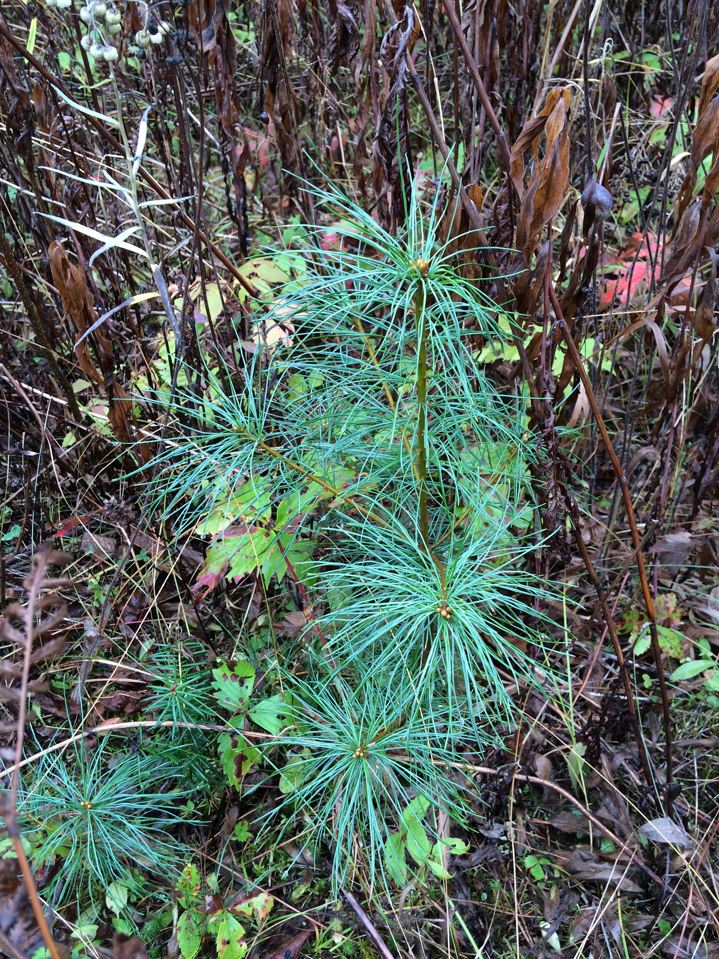
White pine seedling showing silver coloration typical of this area and associated with higher resistance to blister rust
IMG_3731-Edit

IMG_3740-Edit
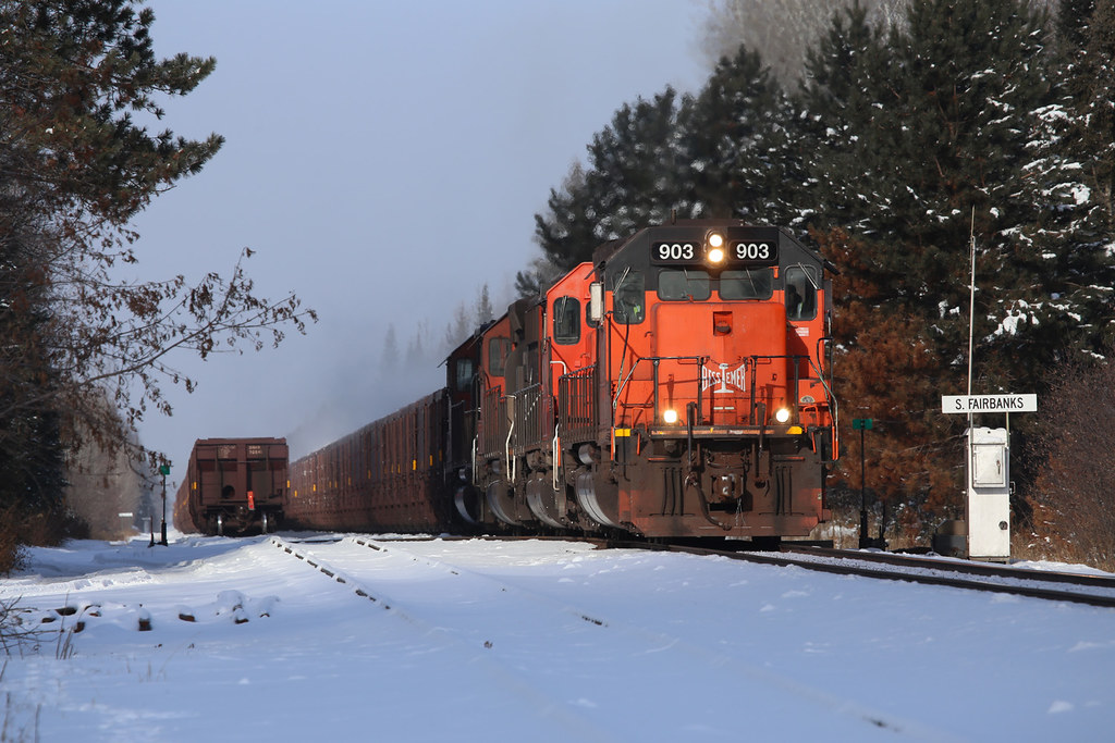
B&LE #903 Fairbanks, Minnesota

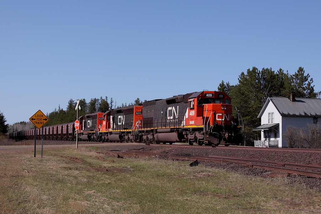
CN Ore Cars, Fairbanks, Minnesota

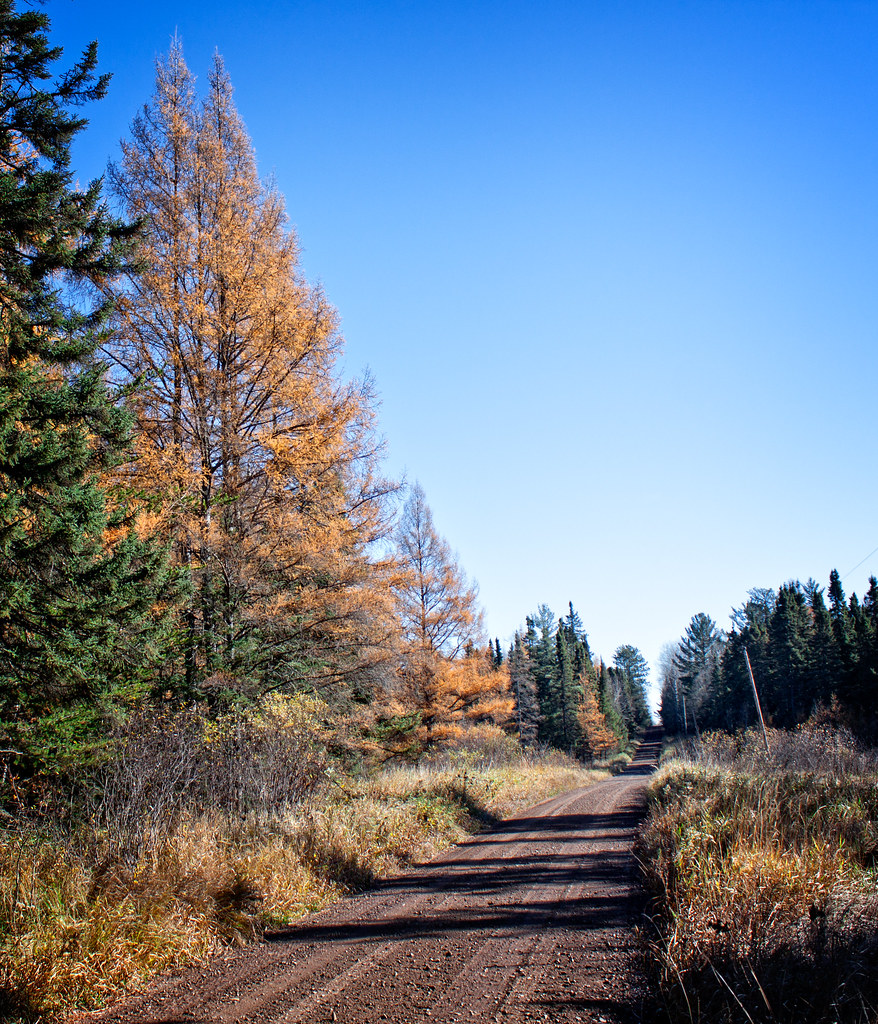
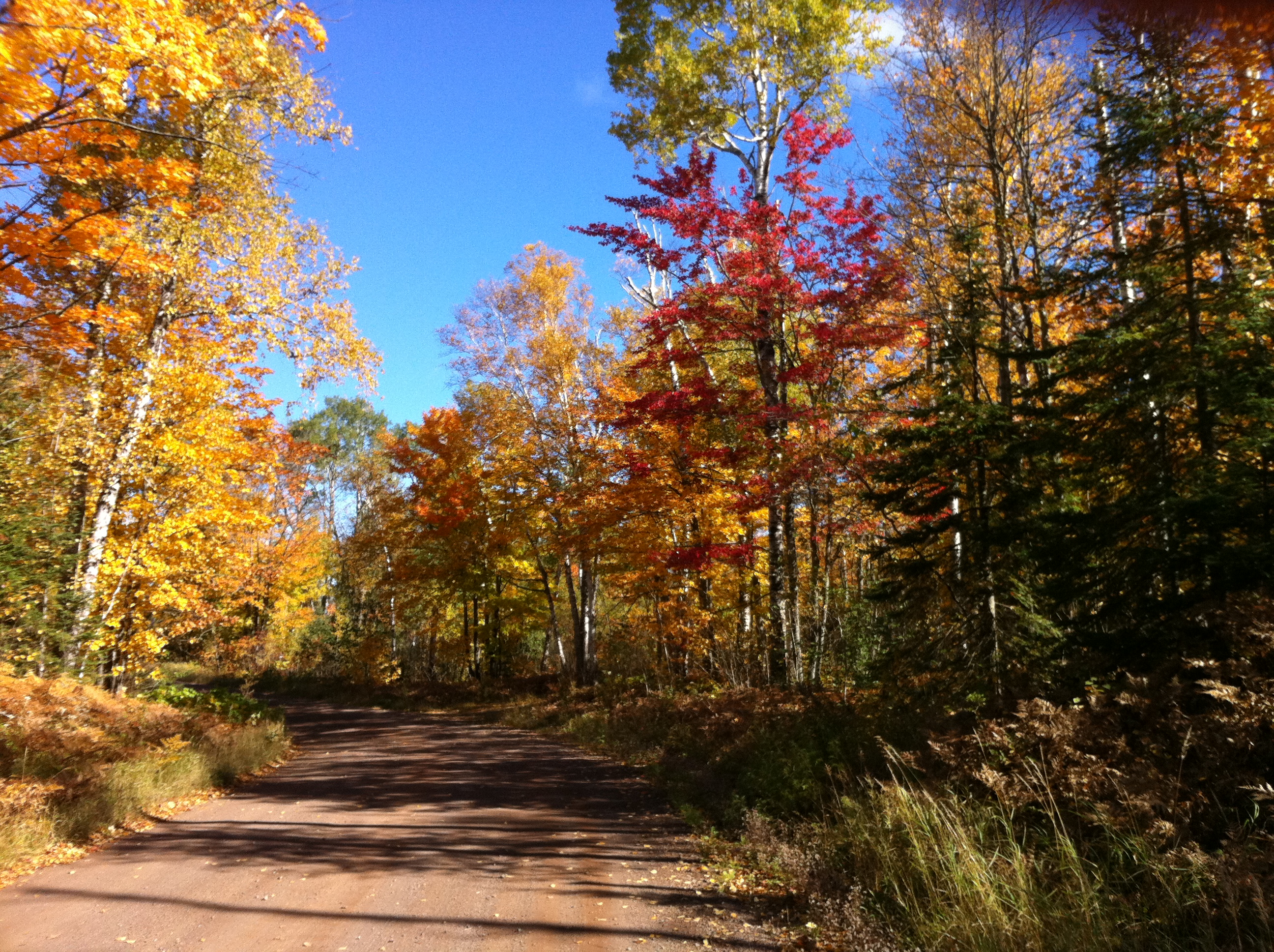
Fall Sunday 11 Years Ago
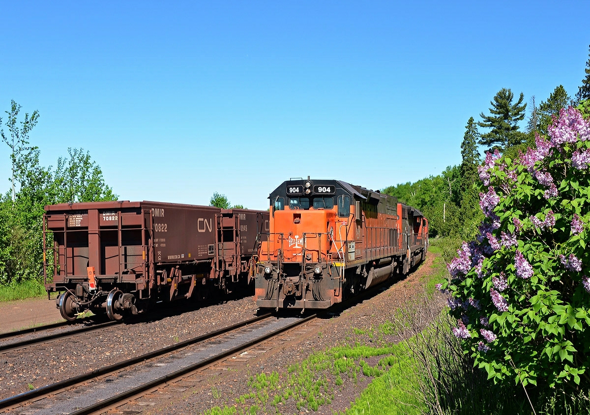
The Smell of Lilacs in the Morning
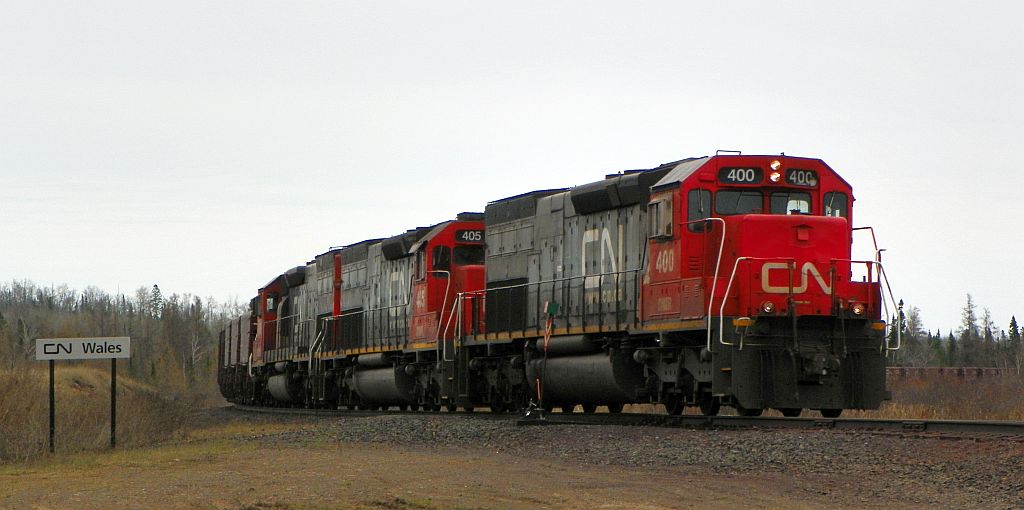
CN-DMIR 400, NB, WALES, MN 5-13-13
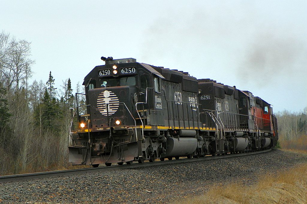
IC 6250, SB, N. WALES, MN 5-13-13
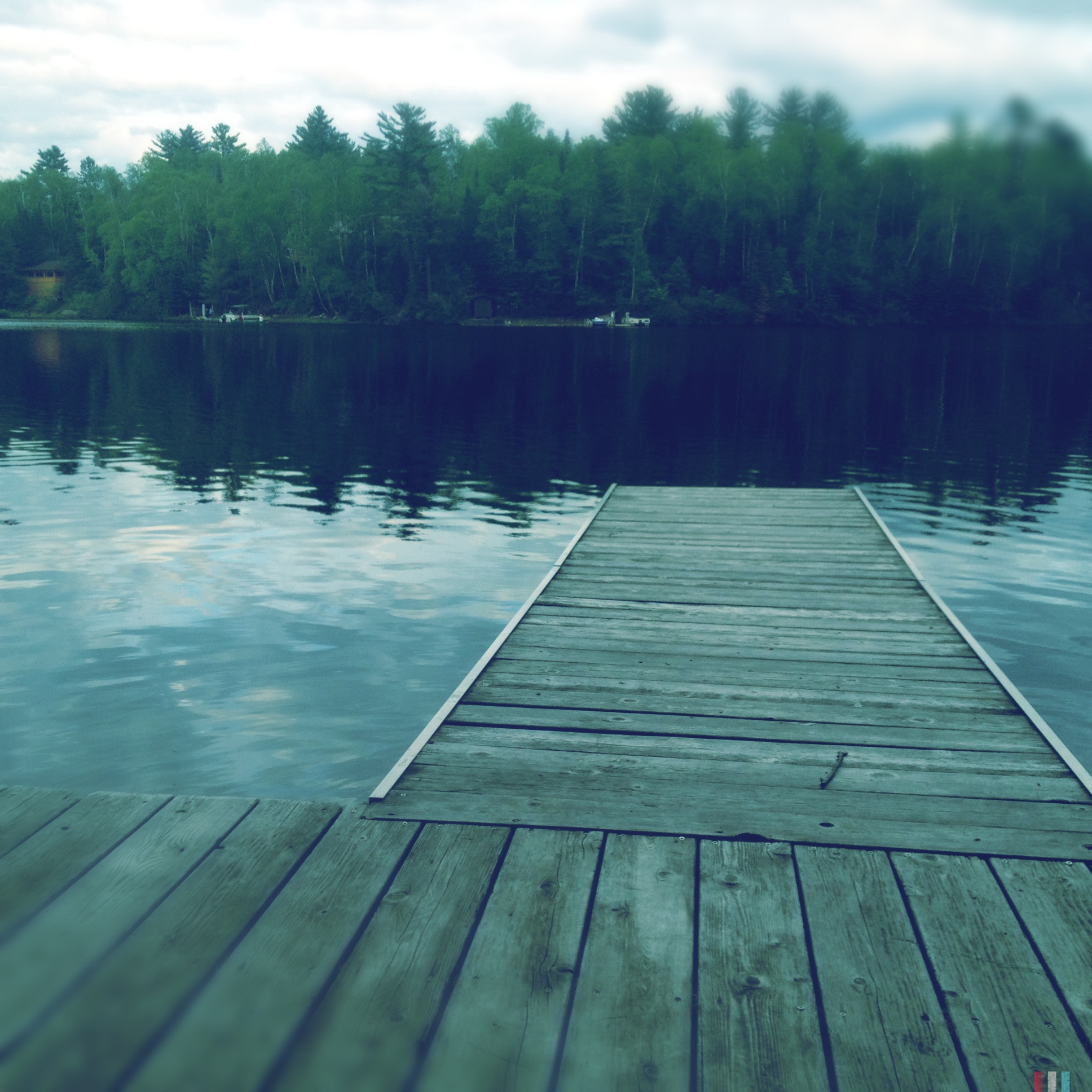
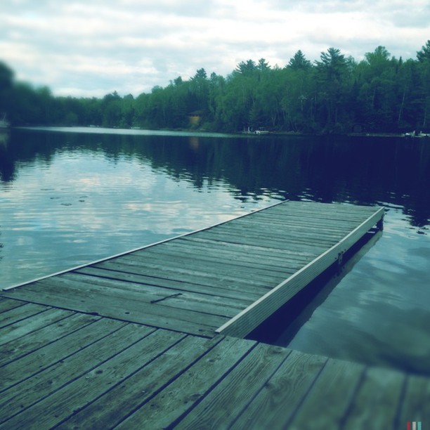
Lake Pequaywan
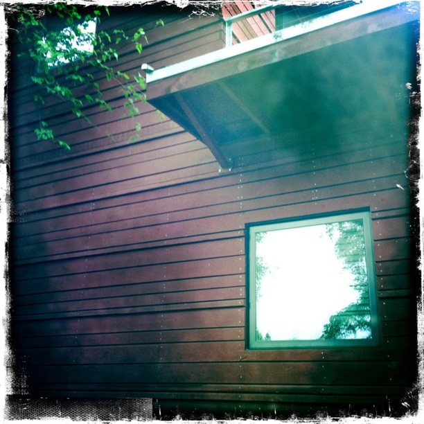
#Hipstamatic #JohnS #KodotXGrizzled
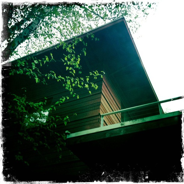
#Hipstamatic #JohnS #KodotXGrizzled
#Hipstamatic #JohnS #KodotXGrizzled
#Hipstamatic #Americana #BlankoFreedom13
#Hipstamatic #BuckhorstH1 #Blanko
#Hipstamatic #JohnS #KodotXGrizzled

crazy hdr effect
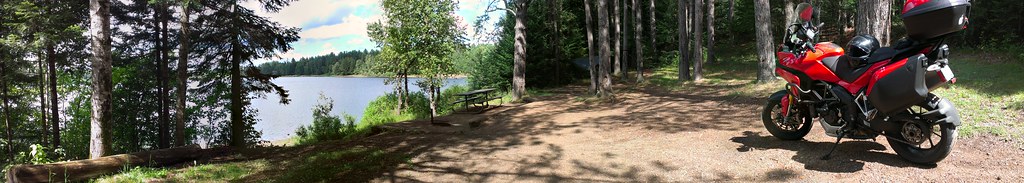
Nice Spot
Heck of the North 2011
West Loader
Topographic Map of Ault Township, MN, USA
Find elevation by address:

Places in Ault Township, MN, USA:
Places near Ault Township, MN, USA:
Brimson Rd, Brimson, MN, USA
Brimson
Fairbanks Township
Fairbanks Rd, Brimson, MN, USA
Town Line Rd, Brimson, MN, USA
4598 Mcalpine Spur
Forest Road c, Hoyt Lakes, MN, USA
Bassett Township
Vermillion Junction Road
Clover Valley School
2586 County Hwy 2
Vermilion Trail, Makinen, MN, USA
Gnesen Township
Lake No. 2
Forest Heights Road
Colvin Township
4163 Acorn Ln
Allen Junction Rd, Hoyt Lakes, MN, USA
Duluth Township
5846 Ryan Rd
Recent Searches:
- Elevation of Corso Fratelli Cairoli, 35, Macerata MC, Italy
- Elevation of Tallevast Rd, Sarasota, FL, USA
- Elevation of 4th St E, Sonoma, CA, USA
- Elevation of Black Hollow Rd, Pennsdale, PA, USA
- Elevation of Oakland Ave, Williamsport, PA, USA
- Elevation of Pedrógão Grande, Portugal
- Elevation of Klee Dr, Martinsburg, WV, USA
- Elevation of Via Roma, Pieranica CR, Italy
- Elevation of Tavkvetili Mountain, Georgia
- Elevation of Hartfords Bluff Cir, Mt Pleasant, SC, USA