Elevation of Lake Pleasant Rd, Springfield, NS B0R 1H0, Canada
Location: Canada > Nova Scotia > Annapolis County > Annapolis, Subd. D > Springfield >
Longitude: -64.871056
Latitude: 44.597539
Elevation: 174m / 571feet
Barometric Pressure: 99KPa
Elevation Map:
Satellite Map:
Related Photos:
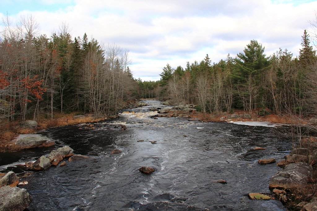
Lahave River, Nova scotia
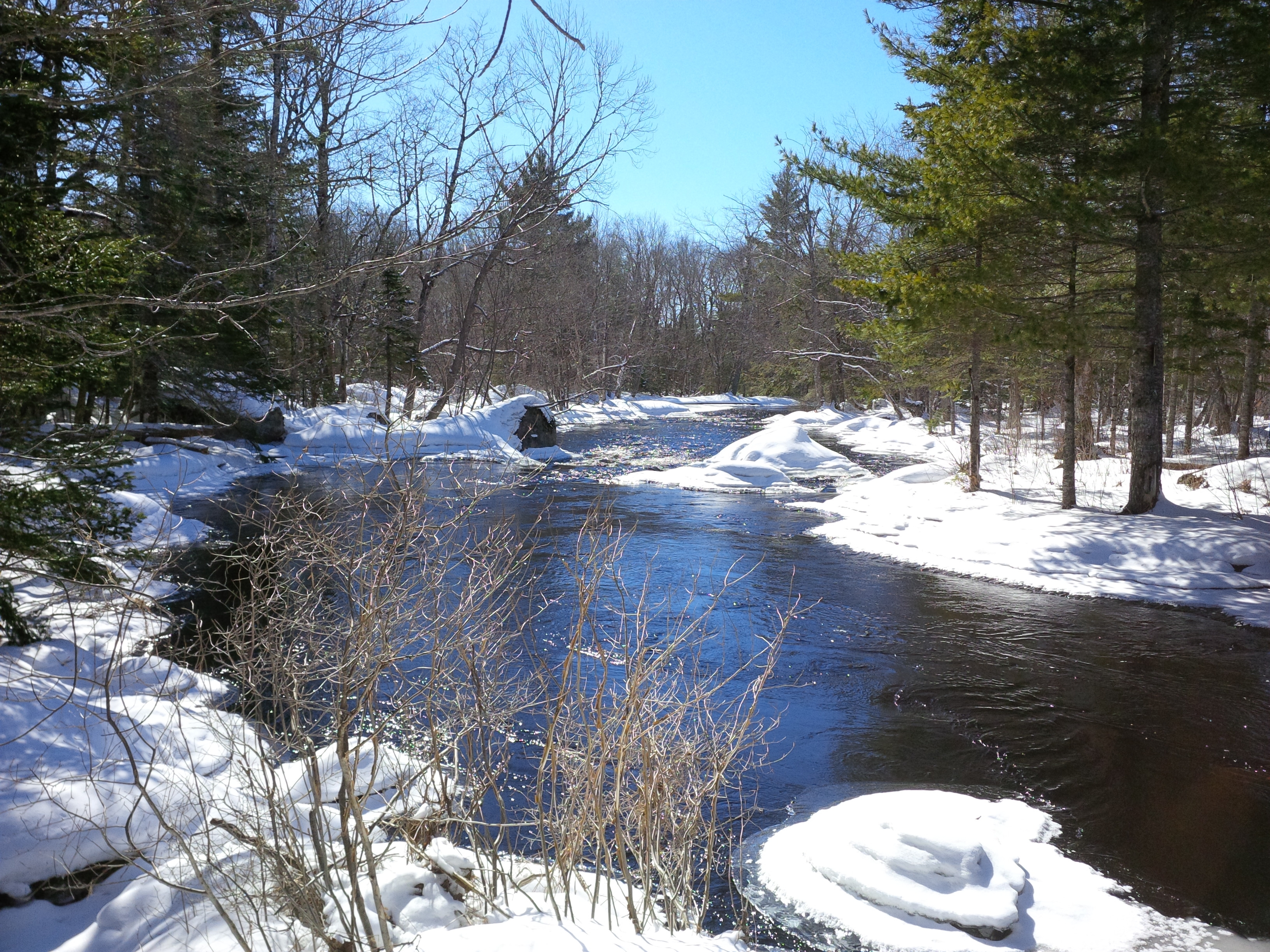
Peters stillwater
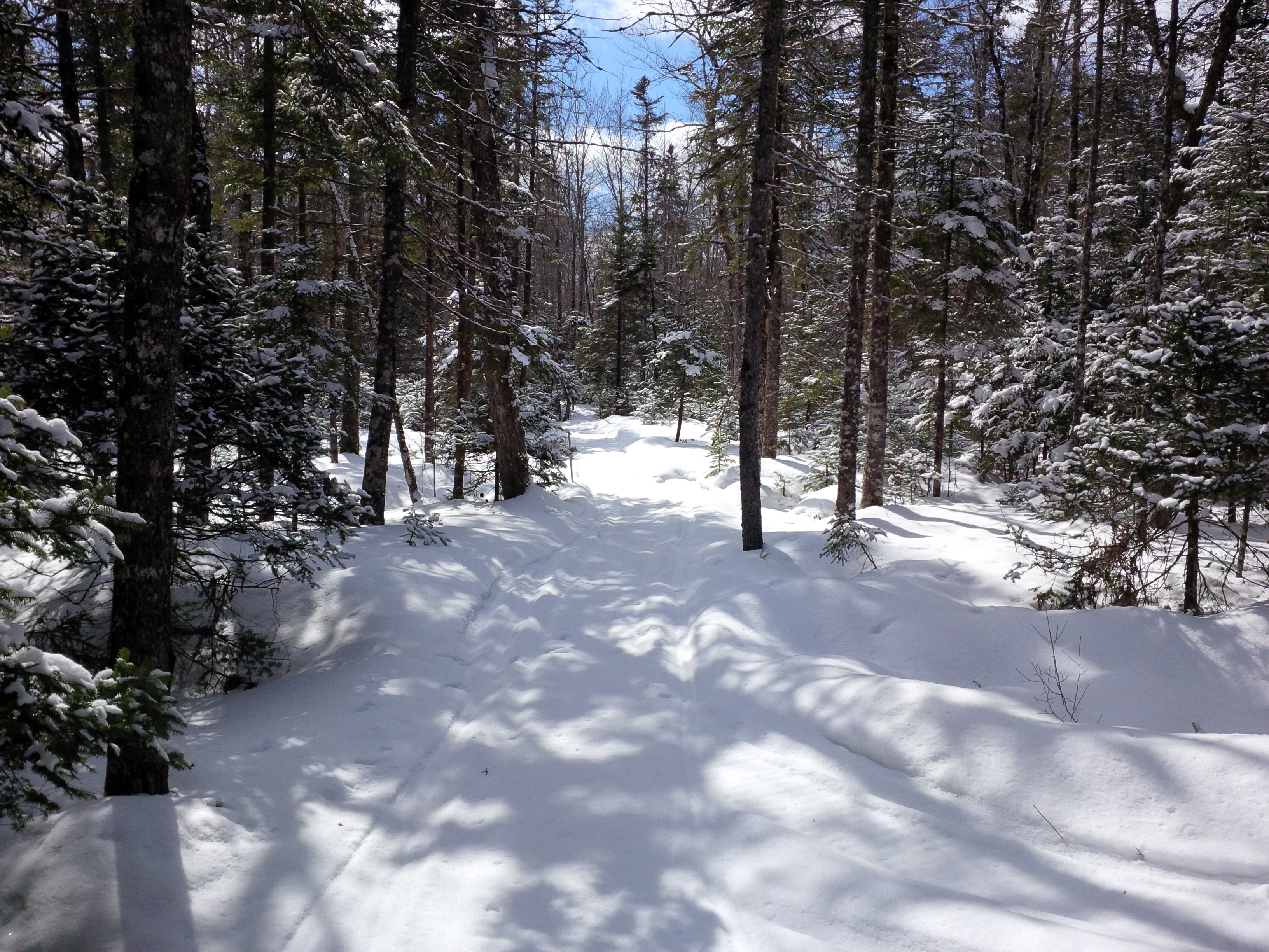
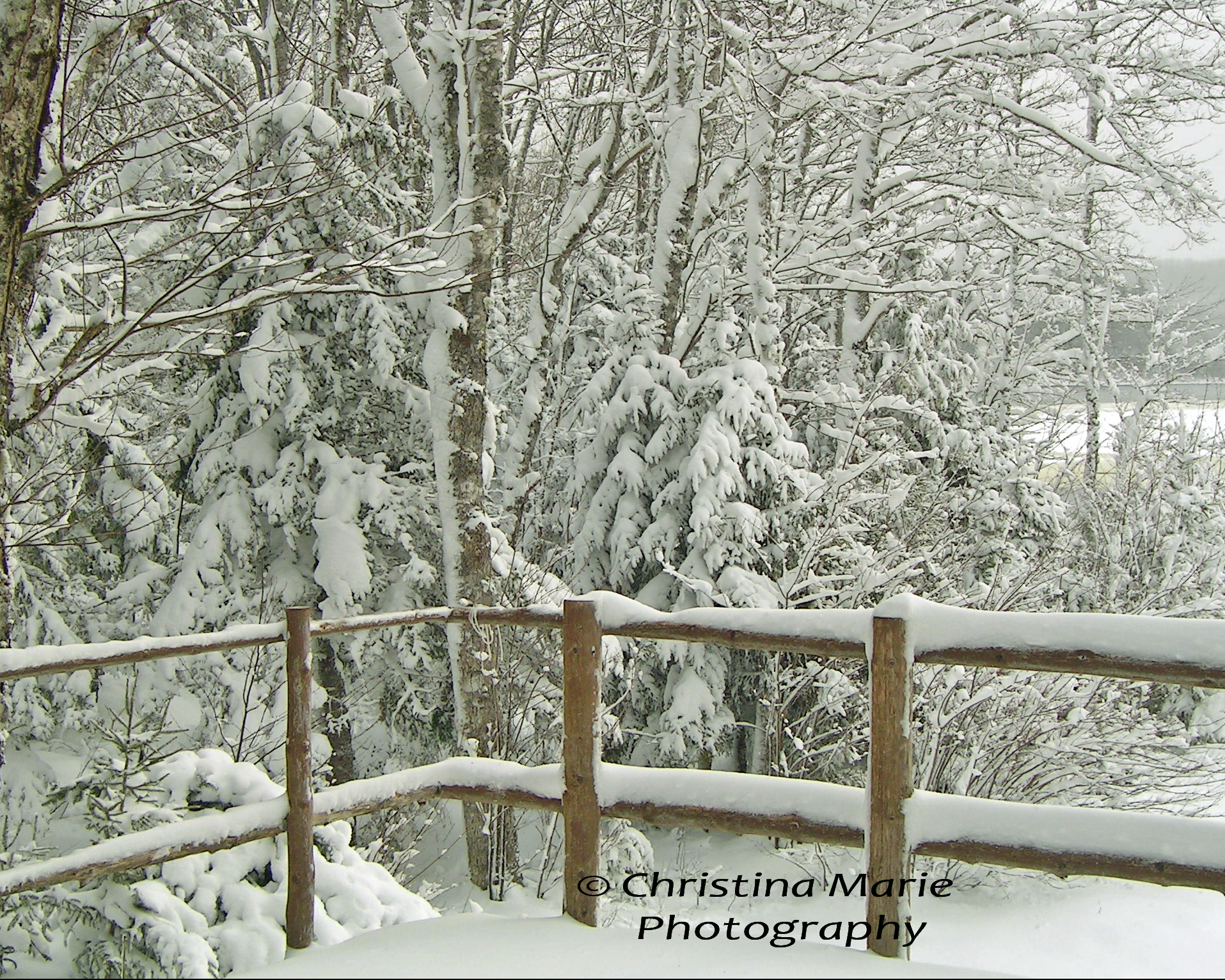
Winter 1
DSC_0721-2

March 6th part 2

#whitebronze #headstone details

Off trail
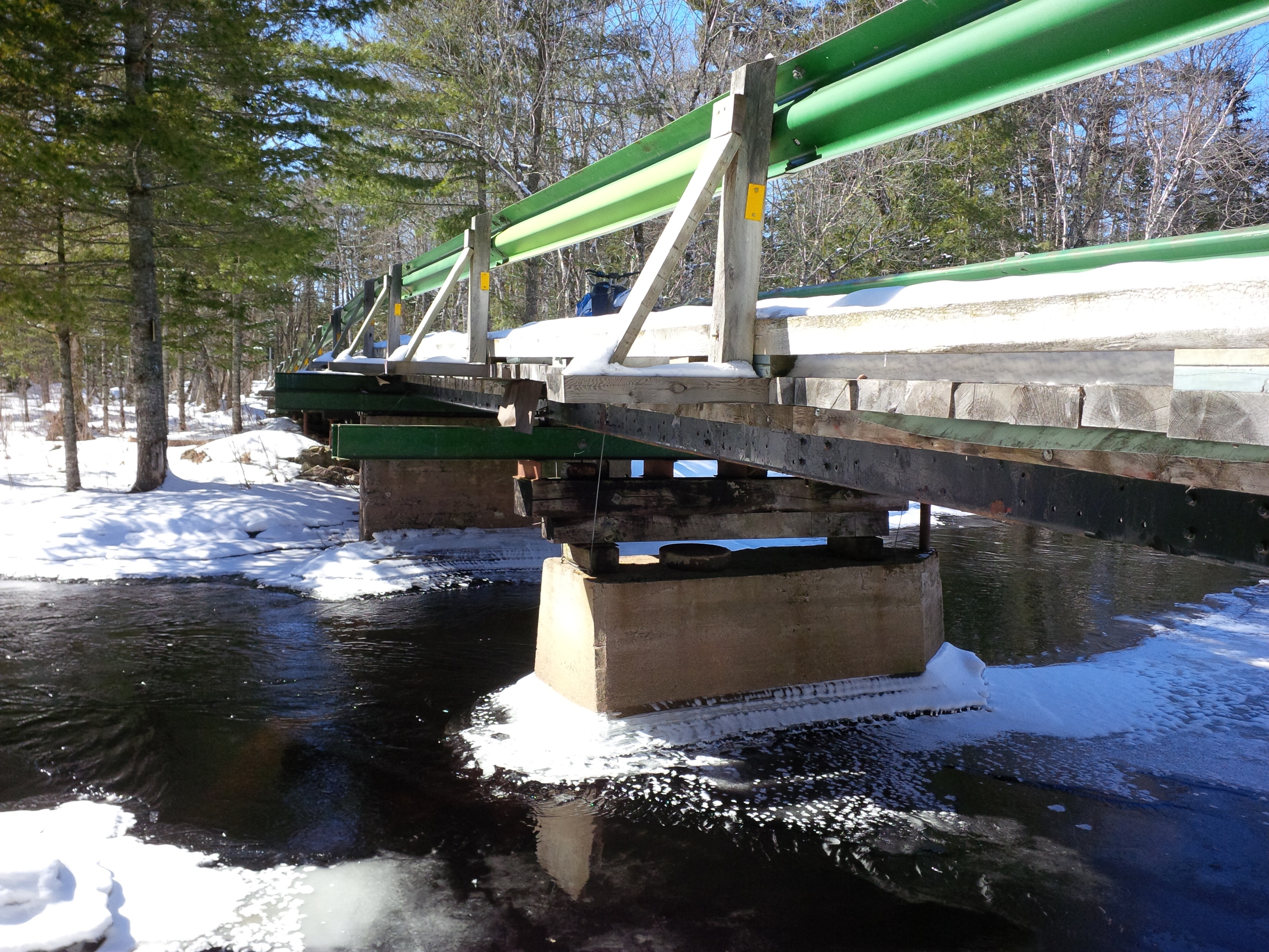
Peters Stillwater Bridge

Hamburger soup
March 6th

Winter 2

Pancakes with homemade blueberry sauce

Kay's new Hairstyle

GoBot on the dock
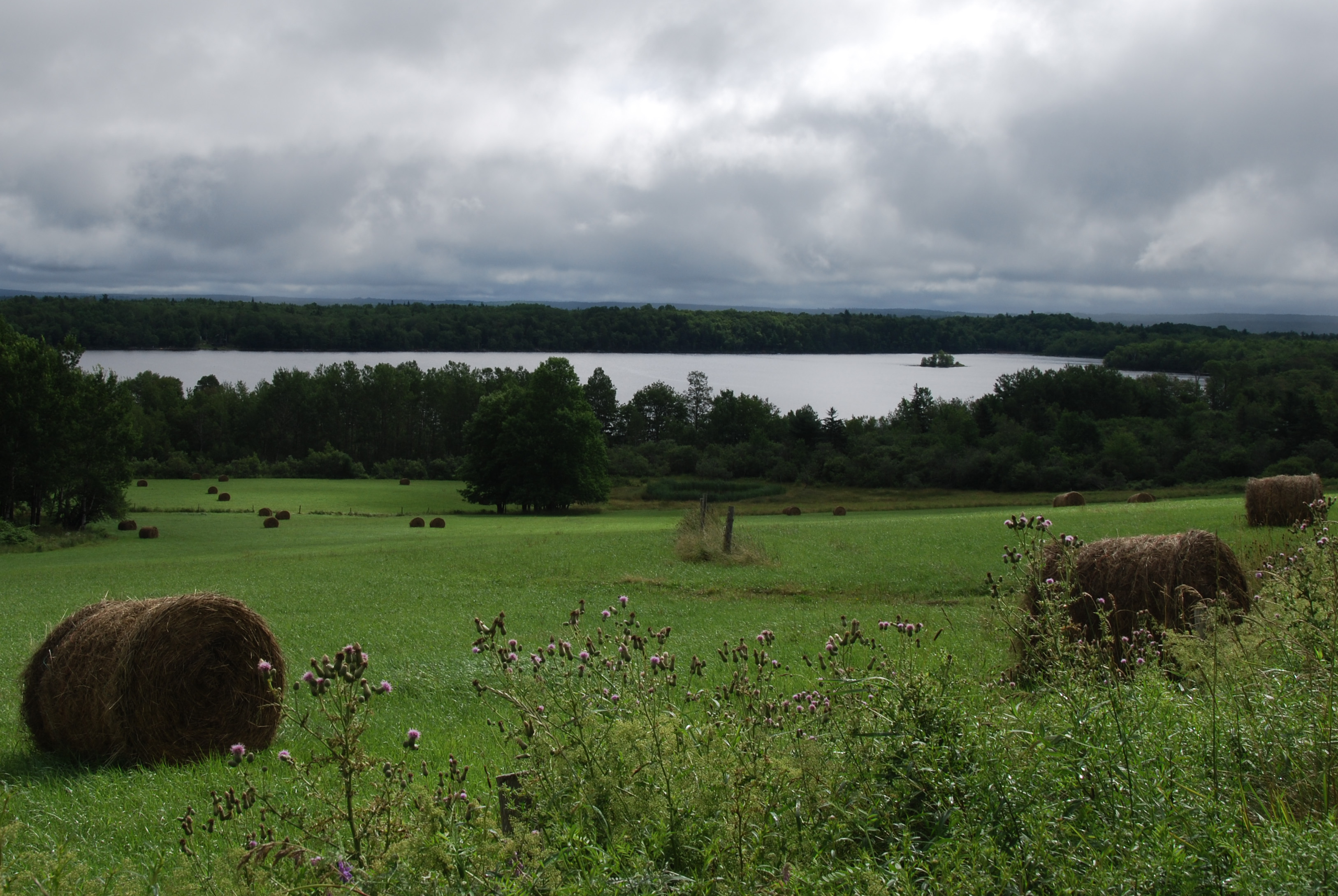
Farm Fence
Stanburne Road

sun reflection

scenic 88
scenic 87

scenic 86

scenic 3

scenic 123
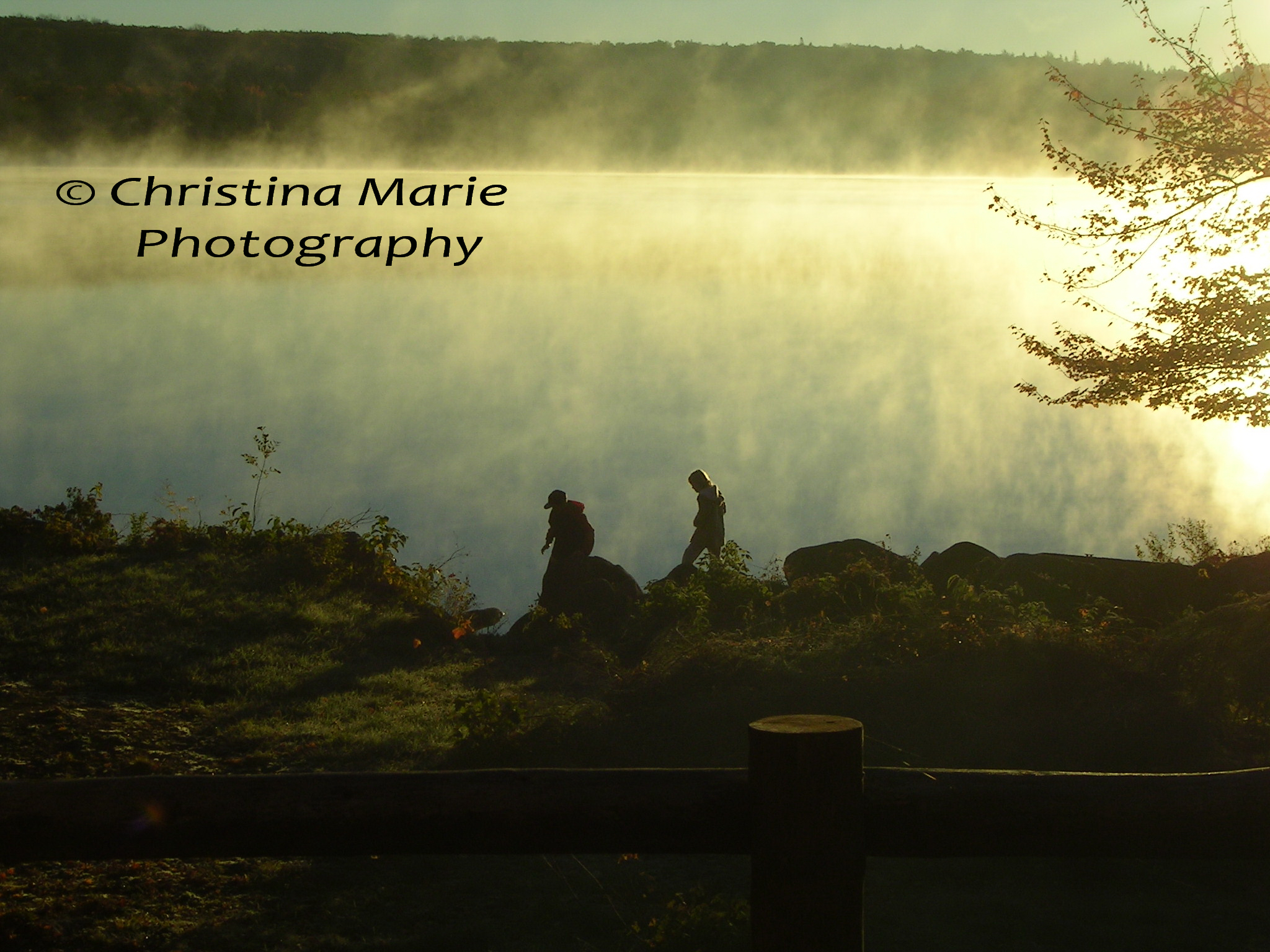
Children in mist
Topographic Map of Lake Pleasant Rd, Springfield, NS B0R 1H0, Canada
Find elevation by address:

Places near Lake Pleasant Rd, Springfield, NS B0R 1H0, Canada:
Springfield
1218 Lake Pleasant Rd
Nova Scotia Trunk 10, New Germany, NS B0R 1E0, Canada
B0r 1e0
174 Halfway Rd
Murley Rd, South Brookfield, NS B0T 1X0, Canada
New Germany
64 Ns-208
Zwicker Mill Rd, New Germany, NS B0R 1E0, Canada
11 Fire Hall Rd
East Dalhousie
95 School St
New Elm Rd, South Brookfield, NS B0T 1X0, Canada
877 Conrad Rd
4912 Nova Scotia Trunk 10
Osborne Road
E Dalhousie Rd, Springfield, NS B0R 1H0, Canada
984 Osborne Rd
2031 New Elm Rd
132 Harlow Rd
Recent Searches:
- Elevation of Beall Road, Beall Rd, Florida, USA
- Elevation of Leguwa, Nepal
- Elevation of County Rd, Enterprise, AL, USA
- Elevation of Kolchuginsky District, Vladimir Oblast, Russia
- Elevation of Shustino, Vladimir Oblast, Russia
- Elevation of Lampiasi St, Sarasota, FL, USA
- Elevation of Elwyn Dr, Roanoke Rapids, NC, USA
- Elevation of Congressional Dr, Stevensville, MD, USA
- Elevation of Bellview Rd, McLean, VA, USA
- Elevation of Stage Island Rd, Chatham, MA, USA