Elevation of 11 Fire Hall Rd, New Germany, NS B0R 1E0, Canada
Location: Canada > Nova Scotia > Lunenburg County > Lunenburg > New Germany >
Longitude: -64.723946
Latitude: 44.547498
Elevation: 75m / 246feet
Barometric Pressure: 100KPa
Elevation Map:
Satellite Map:
Related Photos:

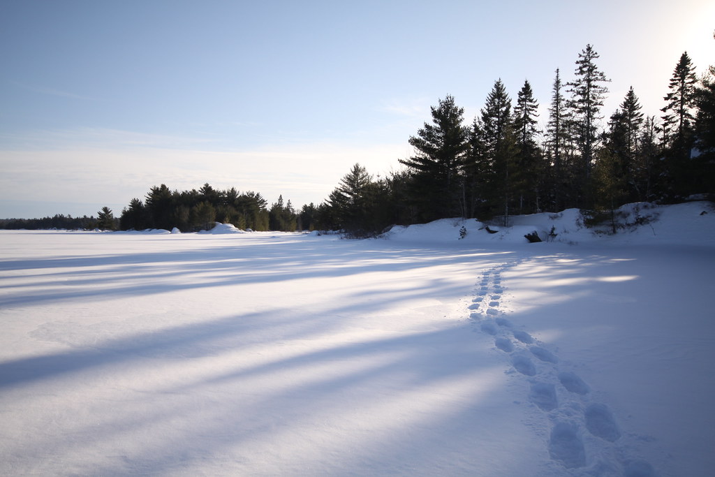
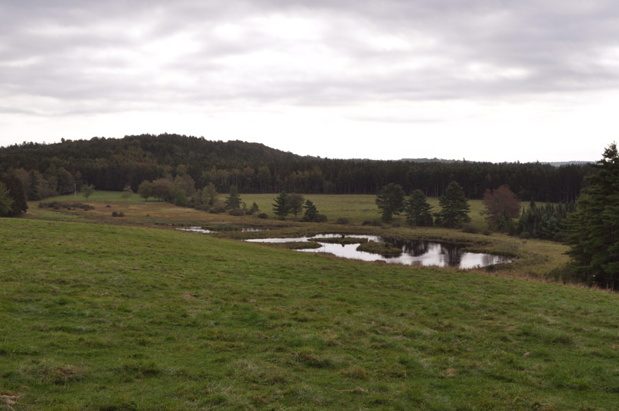
Sunrise over West Whale Lake, NS - HDR
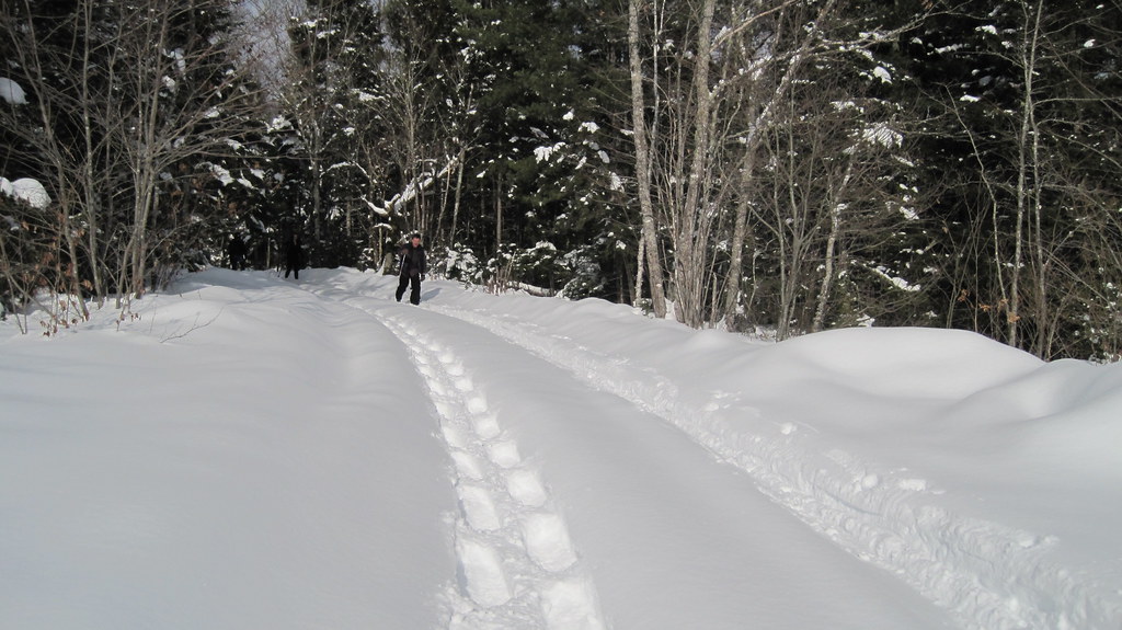
A "large day" on the lake...
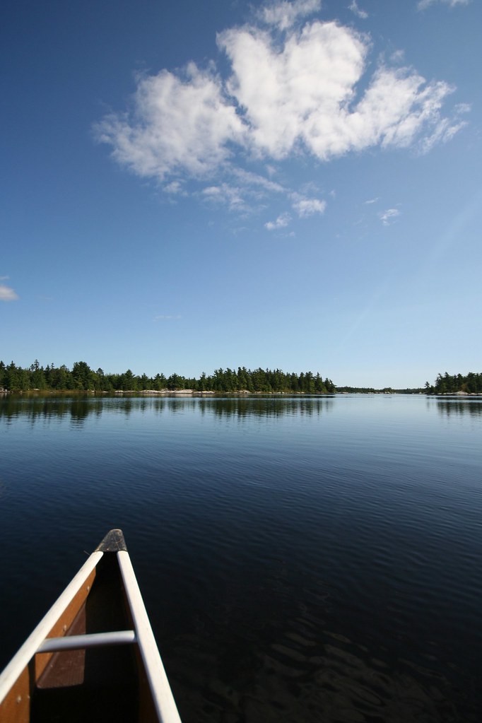
Greens and blue; beauty day in a canoe....
West Whale Lake, NS
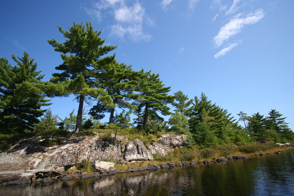
On the trail, West Whale Lake, NS
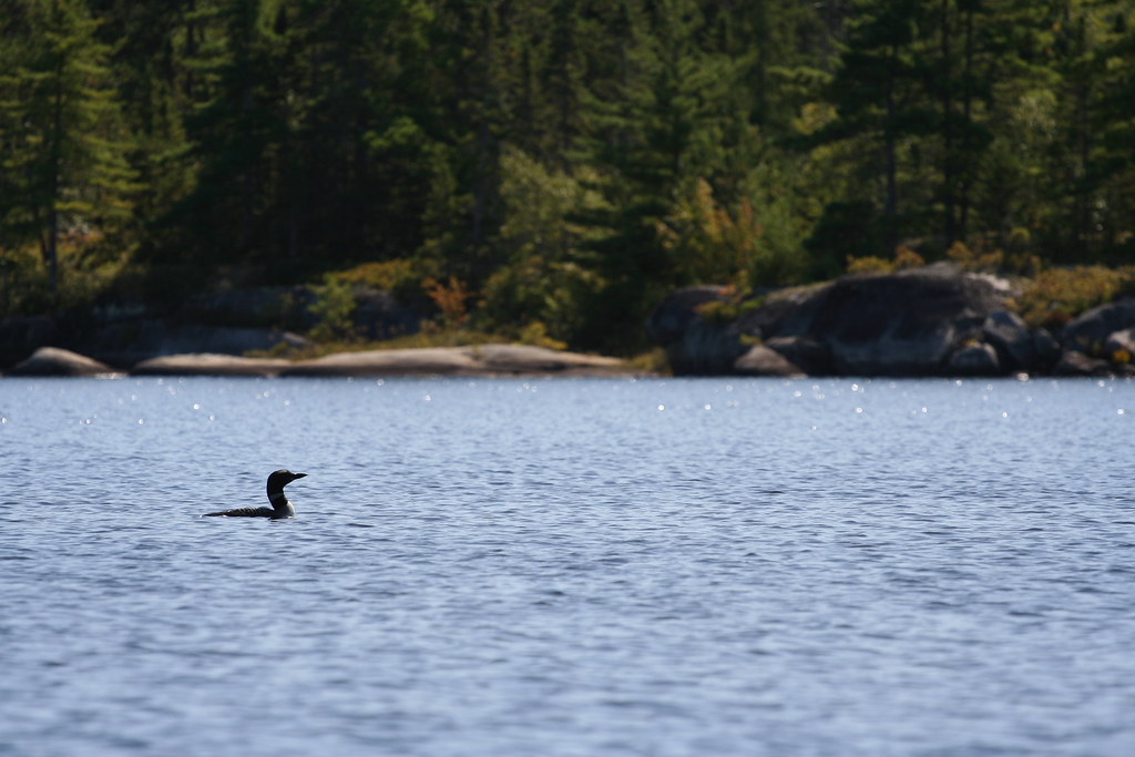
Common Loon
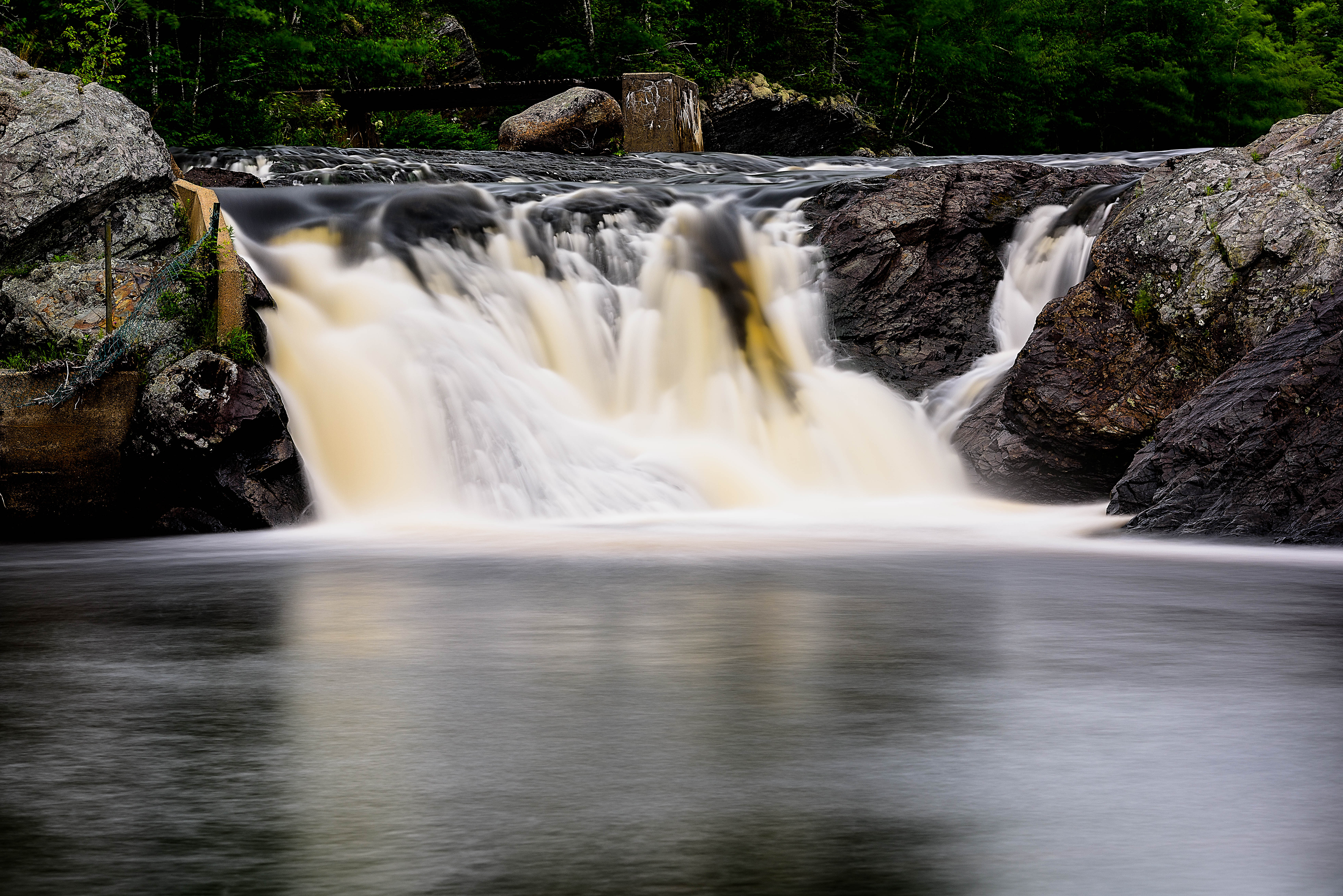
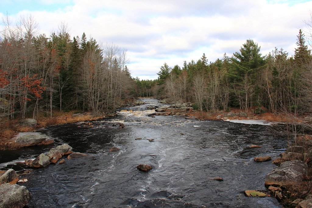
Indian Falls - Newburne, Nova Scotia
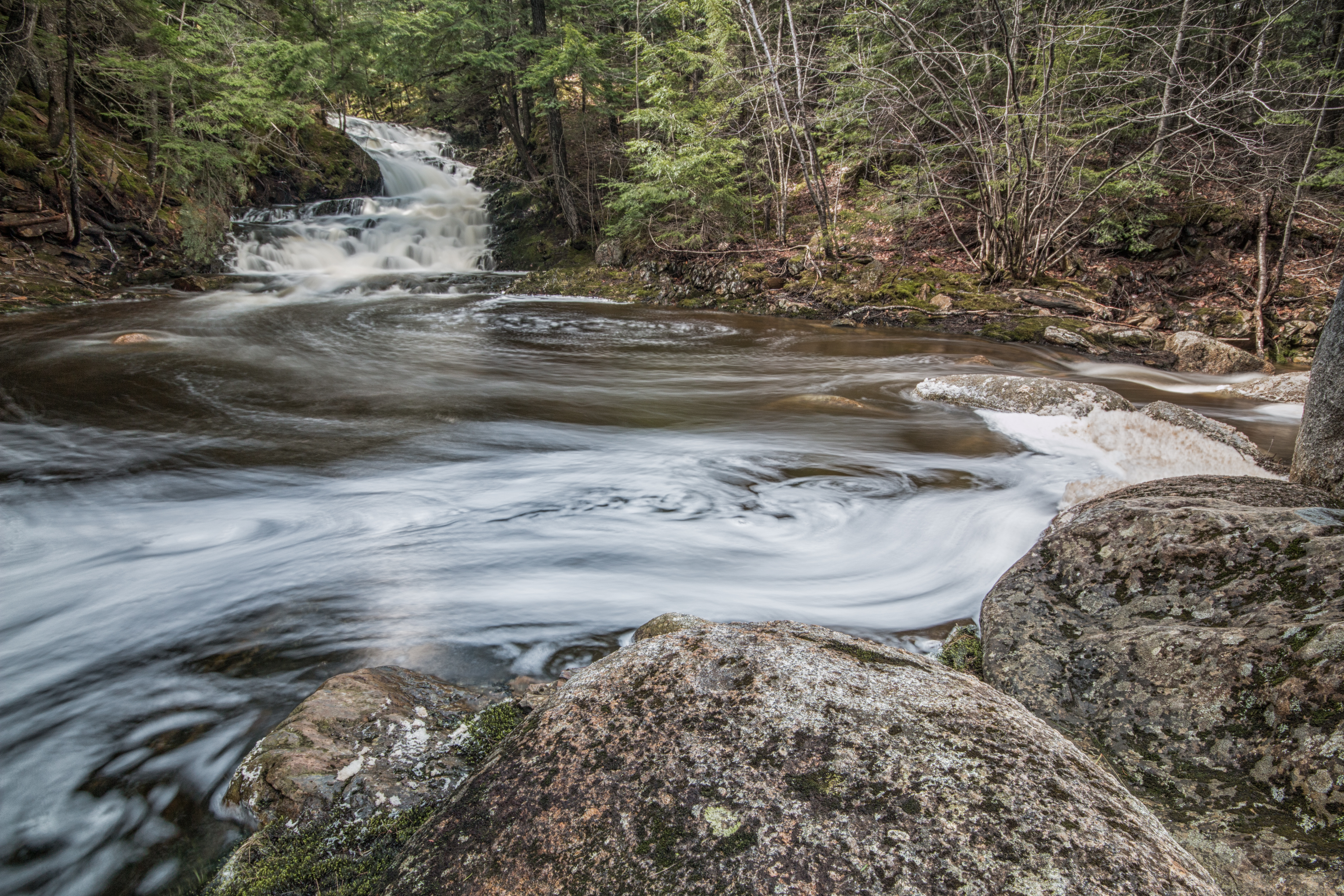
Smith Rd. Falls
Overview downstream looking Northwest
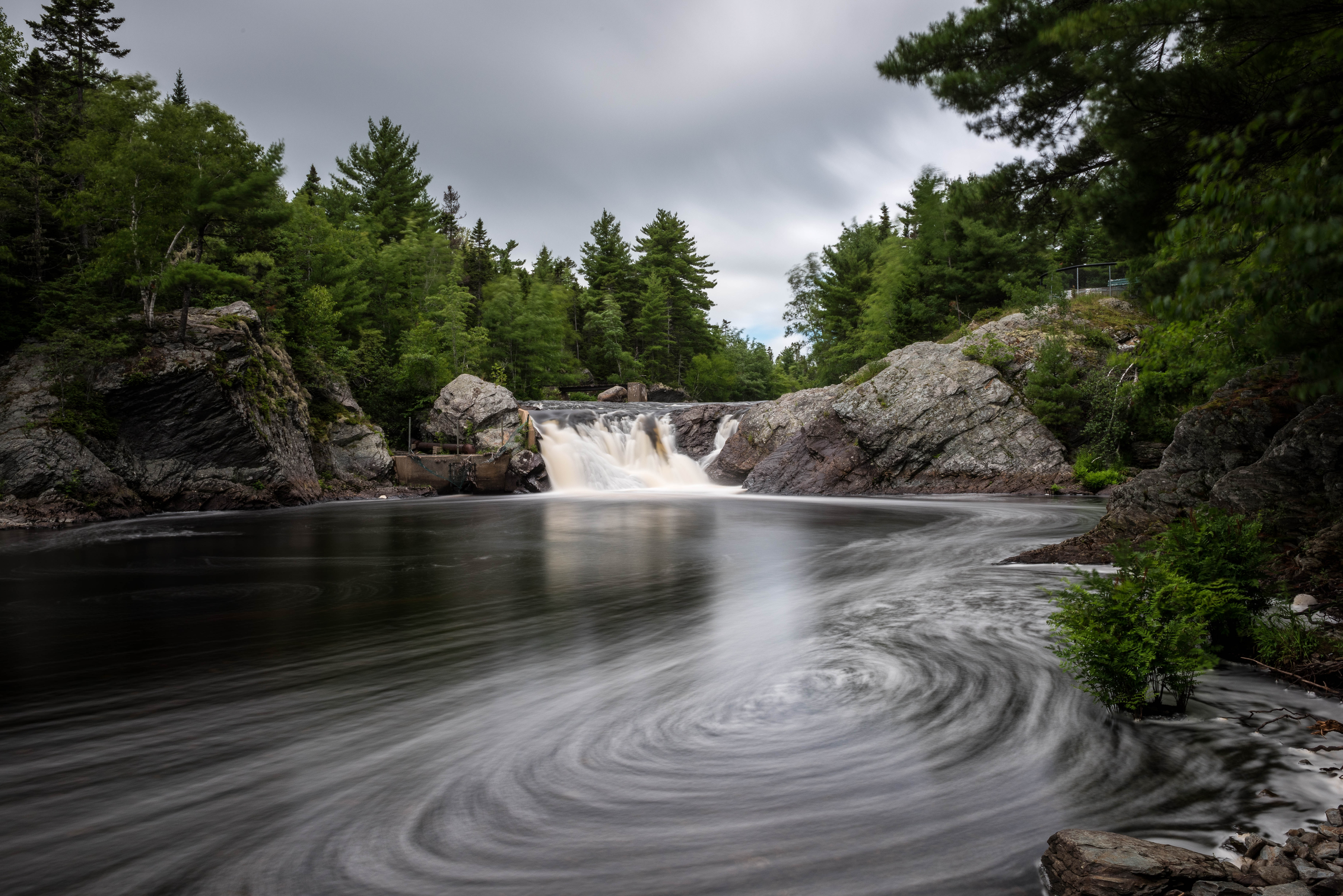
Indian Falls - Newburne, Nova Scotia
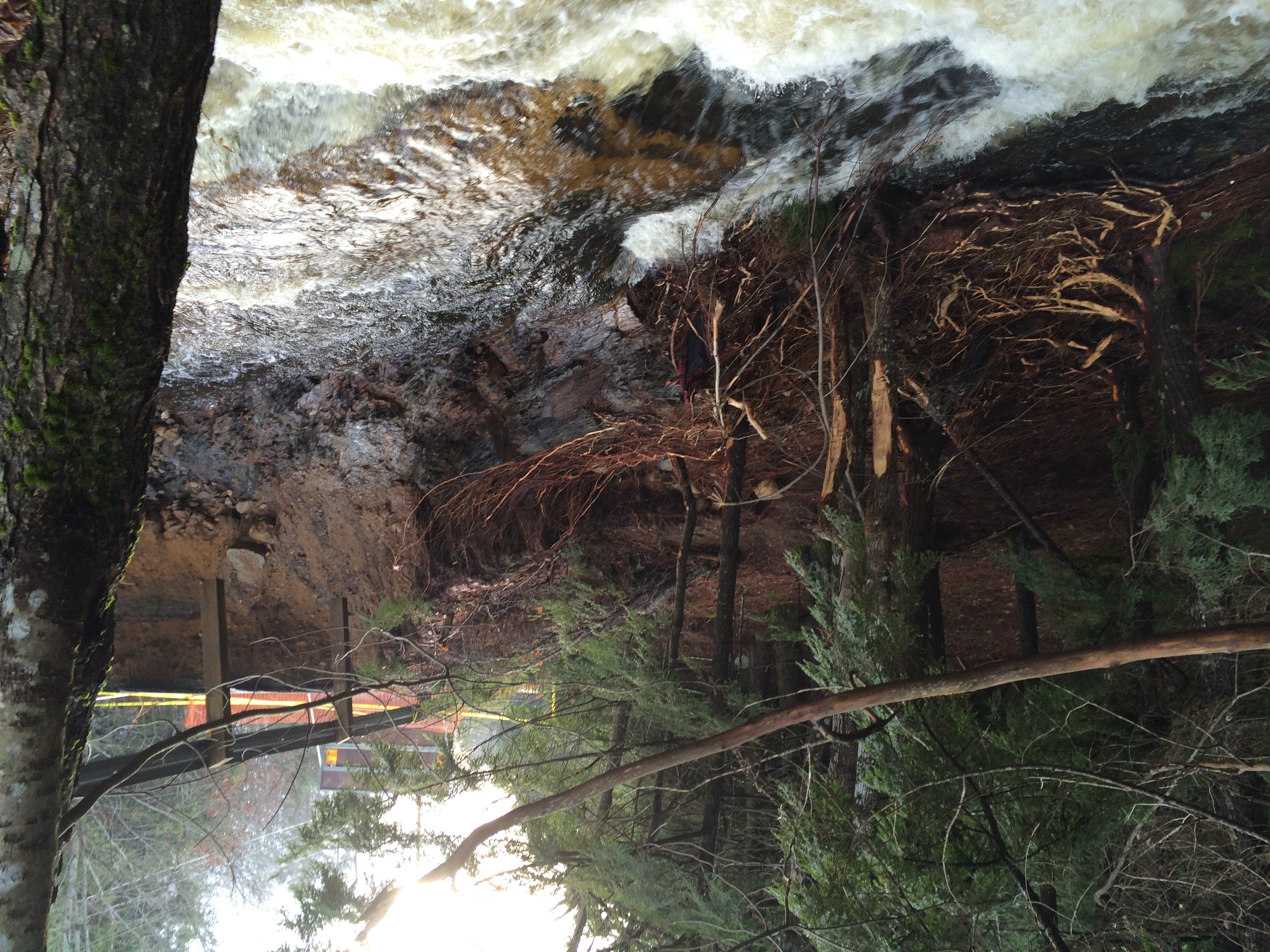
North side of bridge
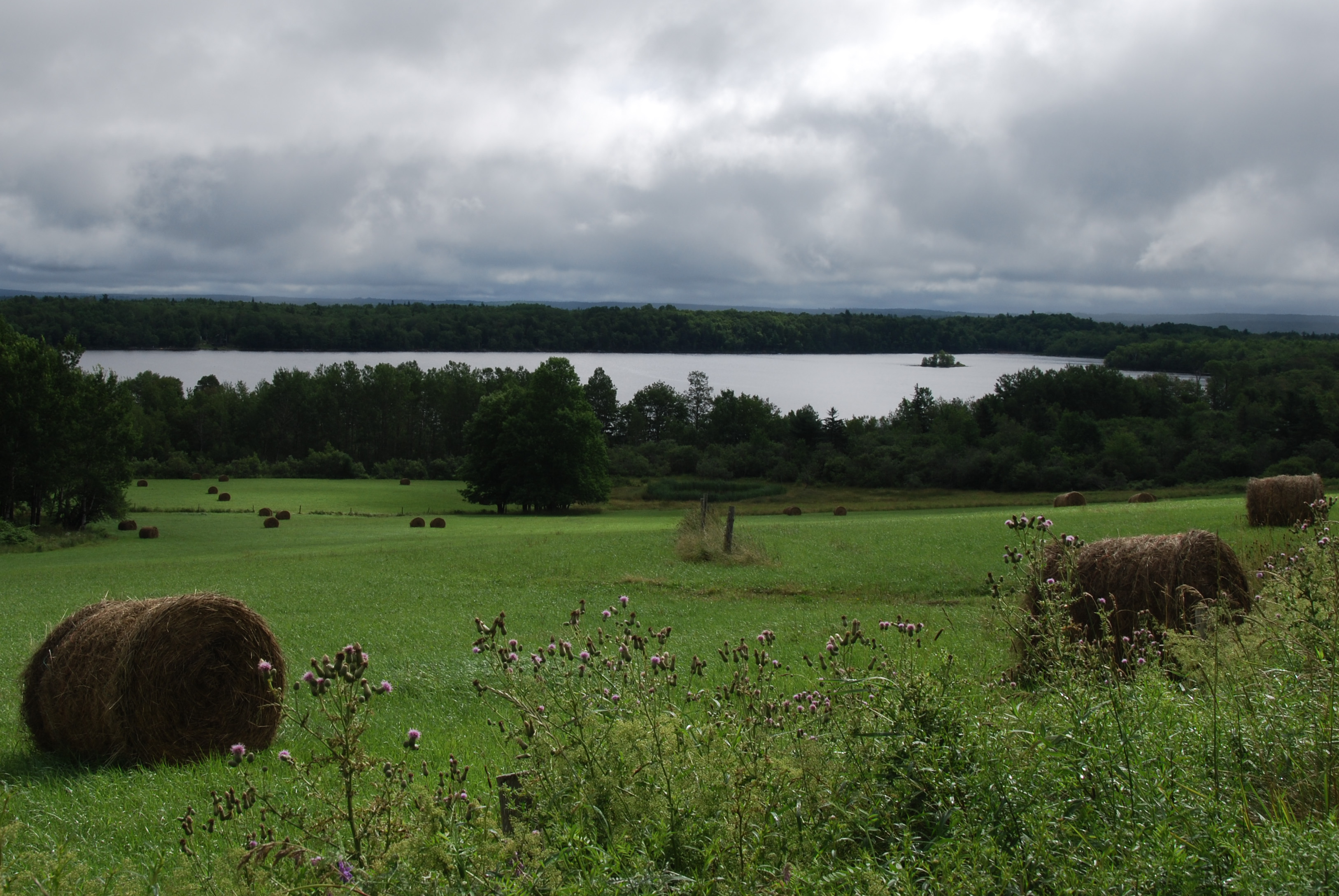
Open Farm Day
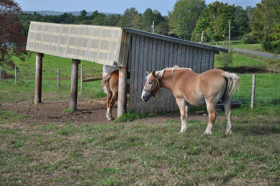
Open Farm Day
Lahave River, Nova scotia
DSC_0721-2
Topographic Map of 11 Fire Hall Rd, New Germany, NS B0R 1E0, Canada
Find elevation by address:

Places near 11 Fire Hall Rd, New Germany, NS B0R 1E0, Canada:
Zwicker Mill Rd, New Germany, NS B0R 1E0, Canada
New Germany
64 Ns-208
95 School St
4912 Nova Scotia Trunk 10
Osborne Road
984 Osborne Rd
877 Conrad Rd
Nova Scotia Trunk 10, New Germany, NS B0R 1E0, Canada
1218 Lake Pleasant Rd
B0r 1e0
103 Lake Pleasant Rd
East Dalhousie
Springfield
E Dalhousie Rd, Springfield, NS B0R 1H0, Canada
New Elm Road
New Elm Road
2031 New Elm Rd
Murley Rd, South Brookfield, NS B0T 1X0, Canada
New Elm Rd, South Brookfield, NS B0T 1X0, Canada
Recent Searches:
- Elevation of Leguwa, Nepal
- Elevation of County Rd, Enterprise, AL, USA
- Elevation of Kolchuginsky District, Vladimir Oblast, Russia
- Elevation of Shustino, Vladimir Oblast, Russia
- Elevation of Lampiasi St, Sarasota, FL, USA
- Elevation of Elwyn Dr, Roanoke Rapids, NC, USA
- Elevation of Congressional Dr, Stevensville, MD, USA
- Elevation of Bellview Rd, McLean, VA, USA
- Elevation of Stage Island Rd, Chatham, MA, USA
- Elevation of Shibuya Scramble Crossing, 21 Udagawacho, Shibuya City, Tokyo -, Japan