Elevation of La Ruinette, Bagnes, Switzerland
Location: Switzerland > Valais > Entremont > Bagnes >
Longitude: 7.4006252
Latitude: 45.9792525
Elevation: 3861m / 12667feet
Barometric Pressure: 63KPa
Elevation Map:
Satellite Map:
Related Photos:

Buon Natale!
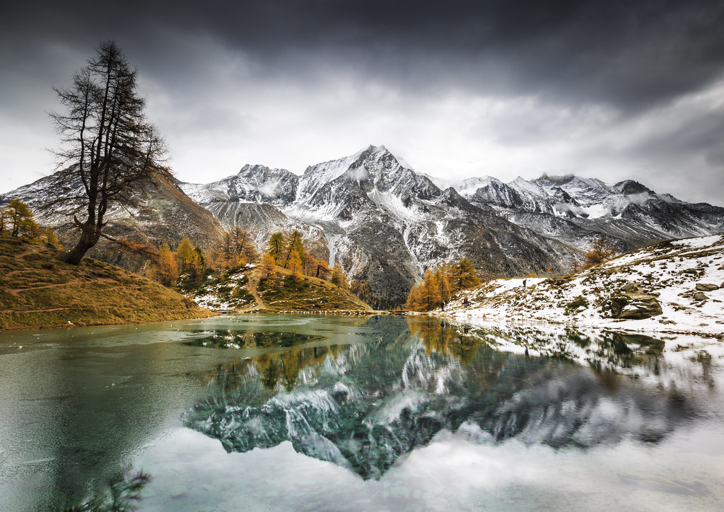
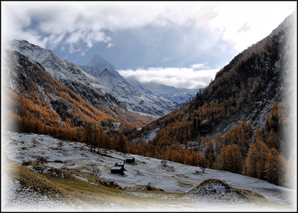
Lac Bleu on a frosty autumn morning
" Here more than elsewhere are merged the look and the heart "

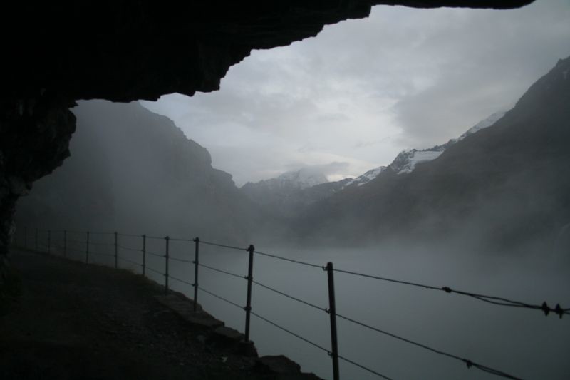
Cabane de Bertol

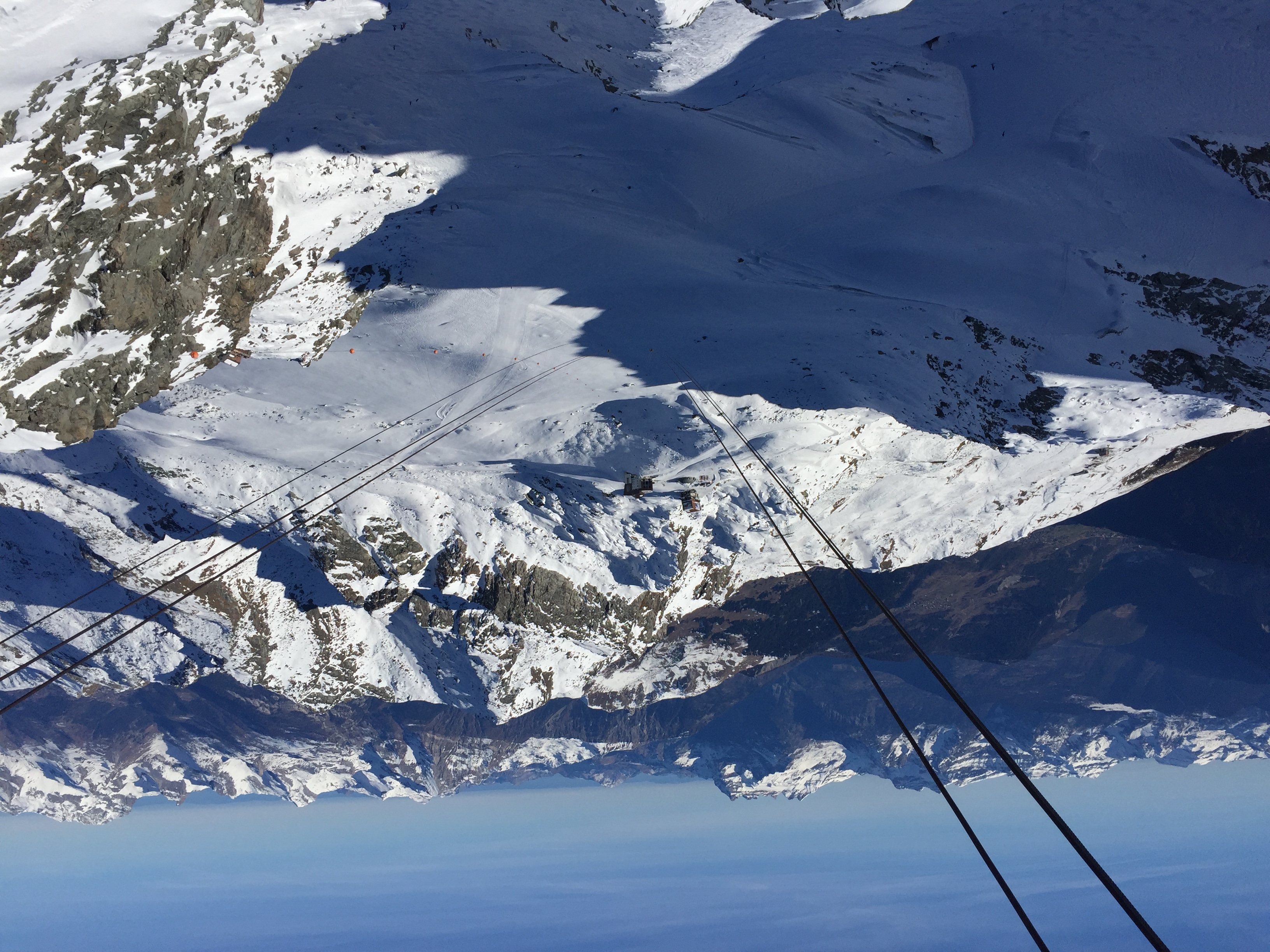
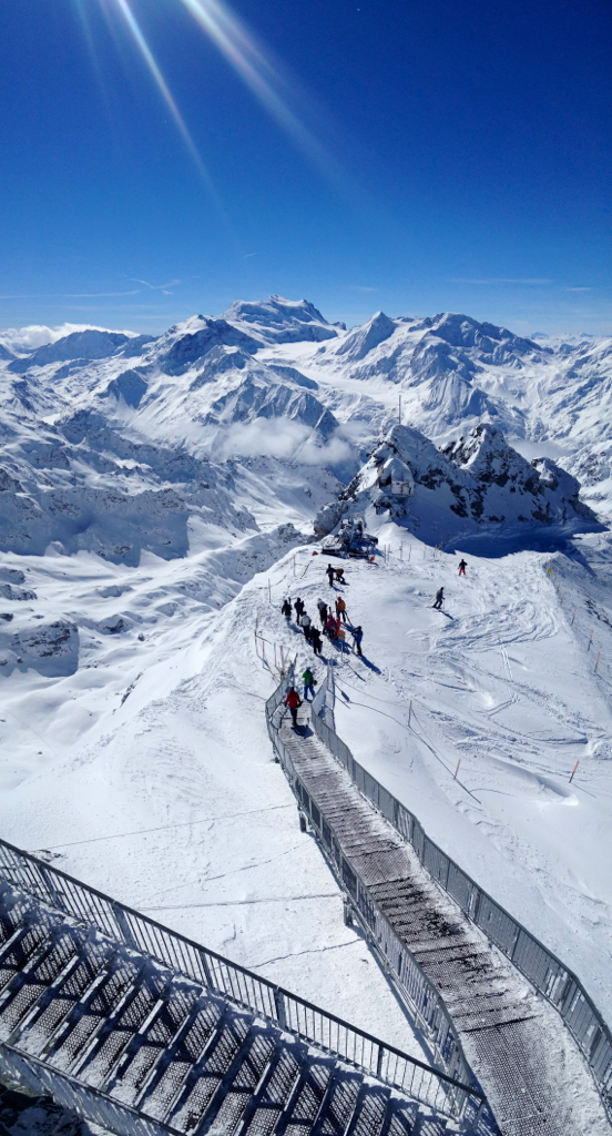
View from Mont Fort

jrlD5-DSC_0017 - Barrage de la Grande Dixence 1 - FLK
Approaching the Matterhorn I
View from Mt. Fort 3330m, Verbier, Suisse.
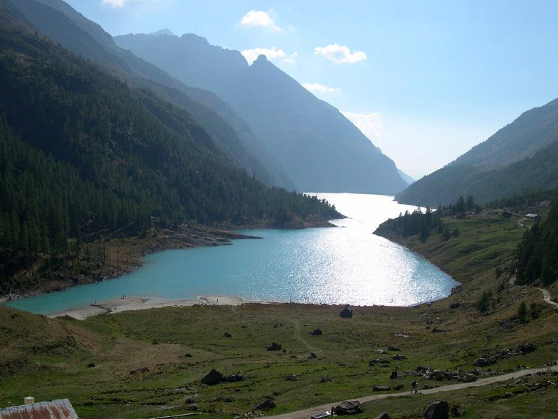
Lac de Mauvoisin, Valais, Switzerland

Col du Tsaté, Lac du Tsaté

Ski Descent from Pigne d'Arolla

Dent Blanche

Descending the Pigne d'Arolla
Mont Fort 3330m vertical panorama
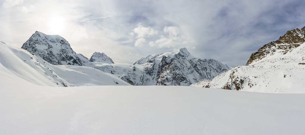
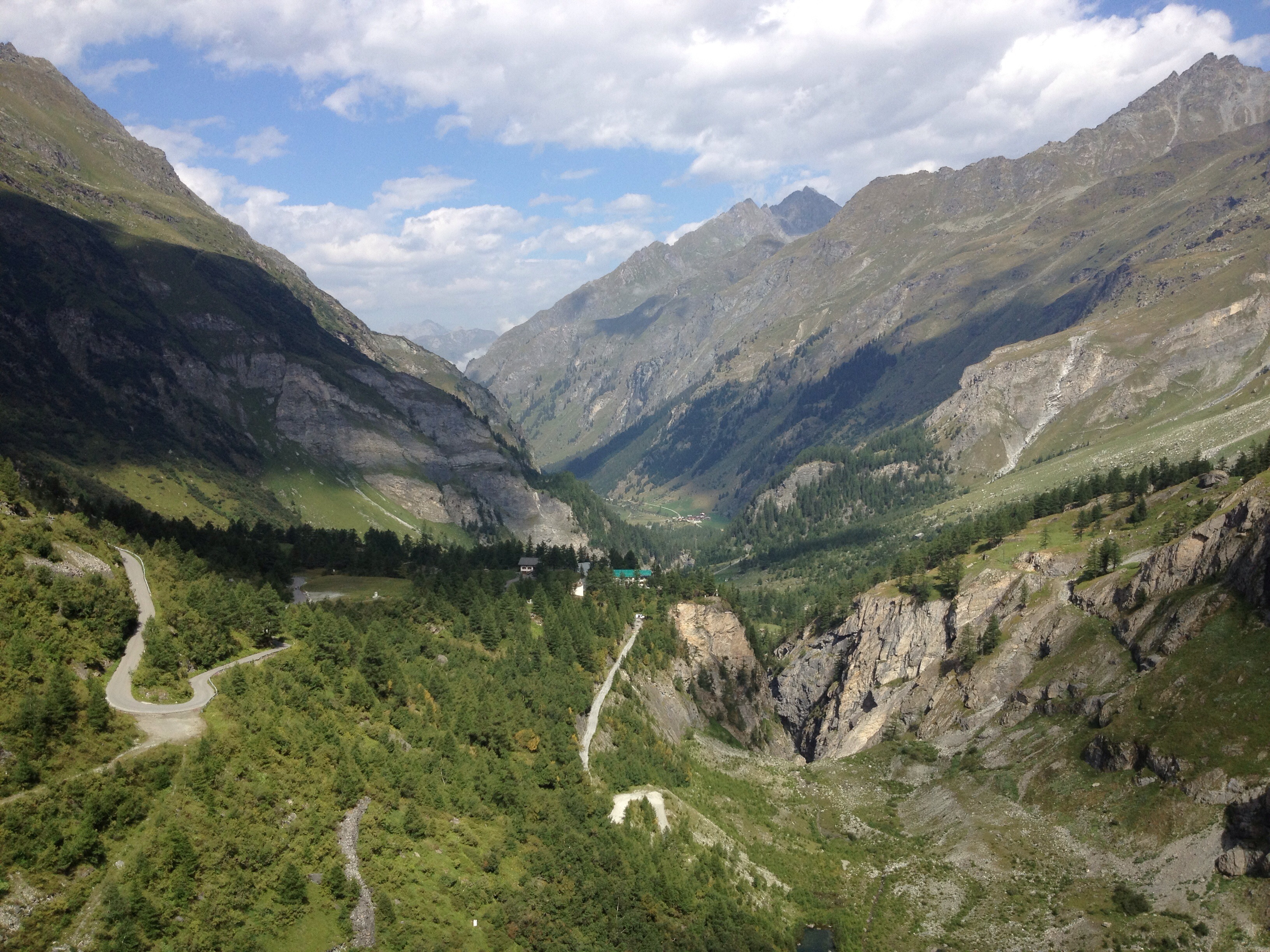
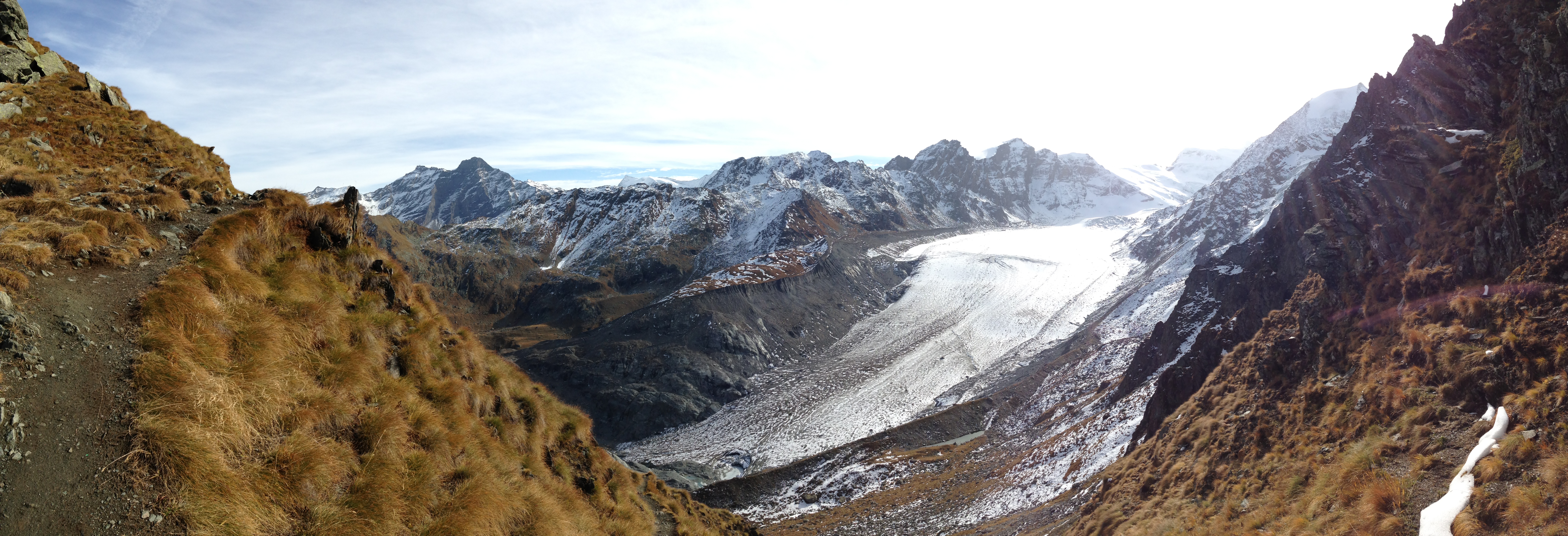
glacial valley
View from summit of barrage de mauvisour

View from Mont Fort
Place Moulin lake - Bionaz
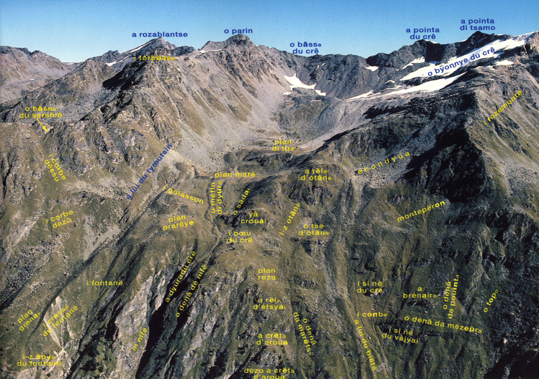
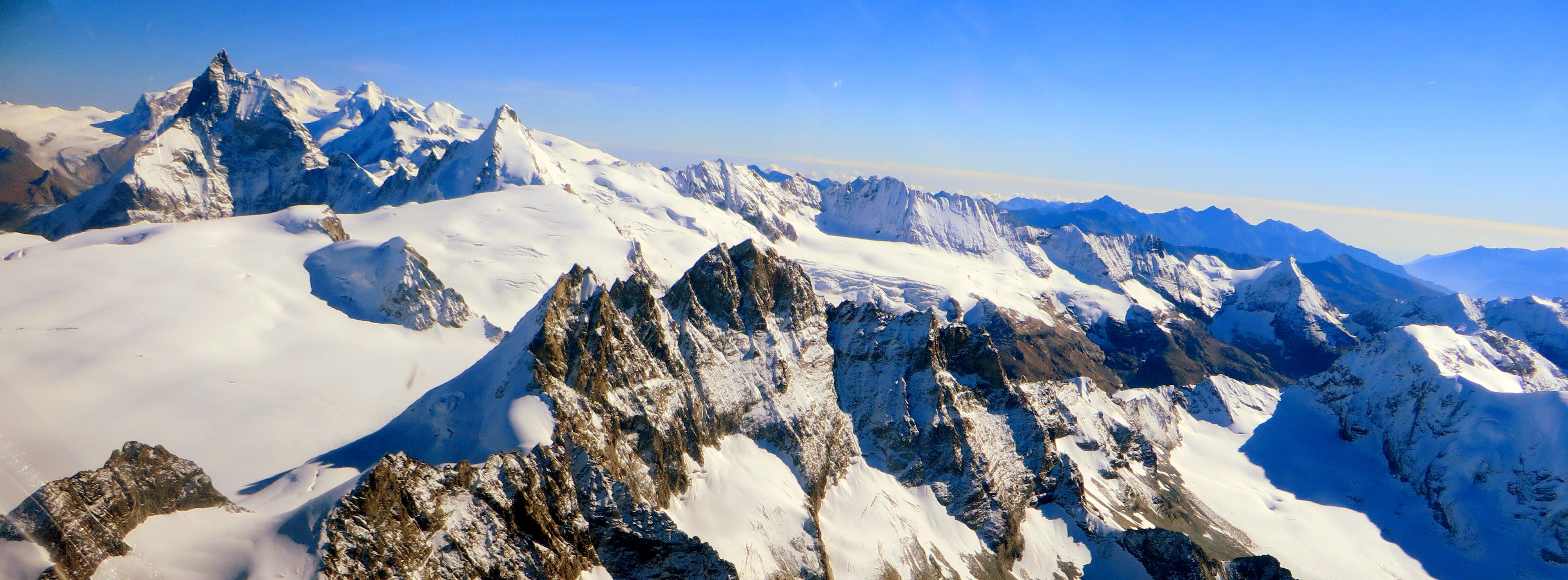
General view of the area
View from Col des Avouillons
Oyace panorama
Topographic Map of La Ruinette, Bagnes, Switzerland
Find elevation by address:

Places near La Ruinette, Bagnes, Switzerland:
La Serpentine
Aouille Tseuque
Bec D'epicoune
La Singla
Satarma
Bionaz
Mont Brulé
Bouquetins
Dent Blanche
Grand Cornier
Cervinia Valtournenche
Cervinia - Breuil
Breuil-cervinia
Singlin
Localita' Singlin, 1
Valtournenche, Aosta Valley, Italy
Valtournenche
Valtournenche
Paquier
Matterhorn
Recent Searches:
- Elevation of Corso Fratelli Cairoli, 35, Macerata MC, Italy
- Elevation of Tallevast Rd, Sarasota, FL, USA
- Elevation of 4th St E, Sonoma, CA, USA
- Elevation of Black Hollow Rd, Pennsdale, PA, USA
- Elevation of Oakland Ave, Williamsport, PA, USA
- Elevation of Pedrógão Grande, Portugal
- Elevation of Klee Dr, Martinsburg, WV, USA
- Elevation of Via Roma, Pieranica CR, Italy
- Elevation of Tavkvetili Mountain, Georgia
- Elevation of Hartfords Bluff Cir, Mt Pleasant, SC, USA