Elevation of Valtournenche, Aosta Valley, Italy
Location: Italy > Aosta > Aosta Valley > Valtournenche > Singlin >
Longitude: 7.6273717
Latitude: 45.8973519
Elevation: 1954m / 6411feet
Barometric Pressure: 0KPa
Related Photos:
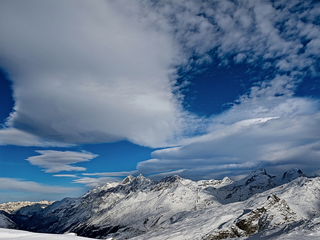
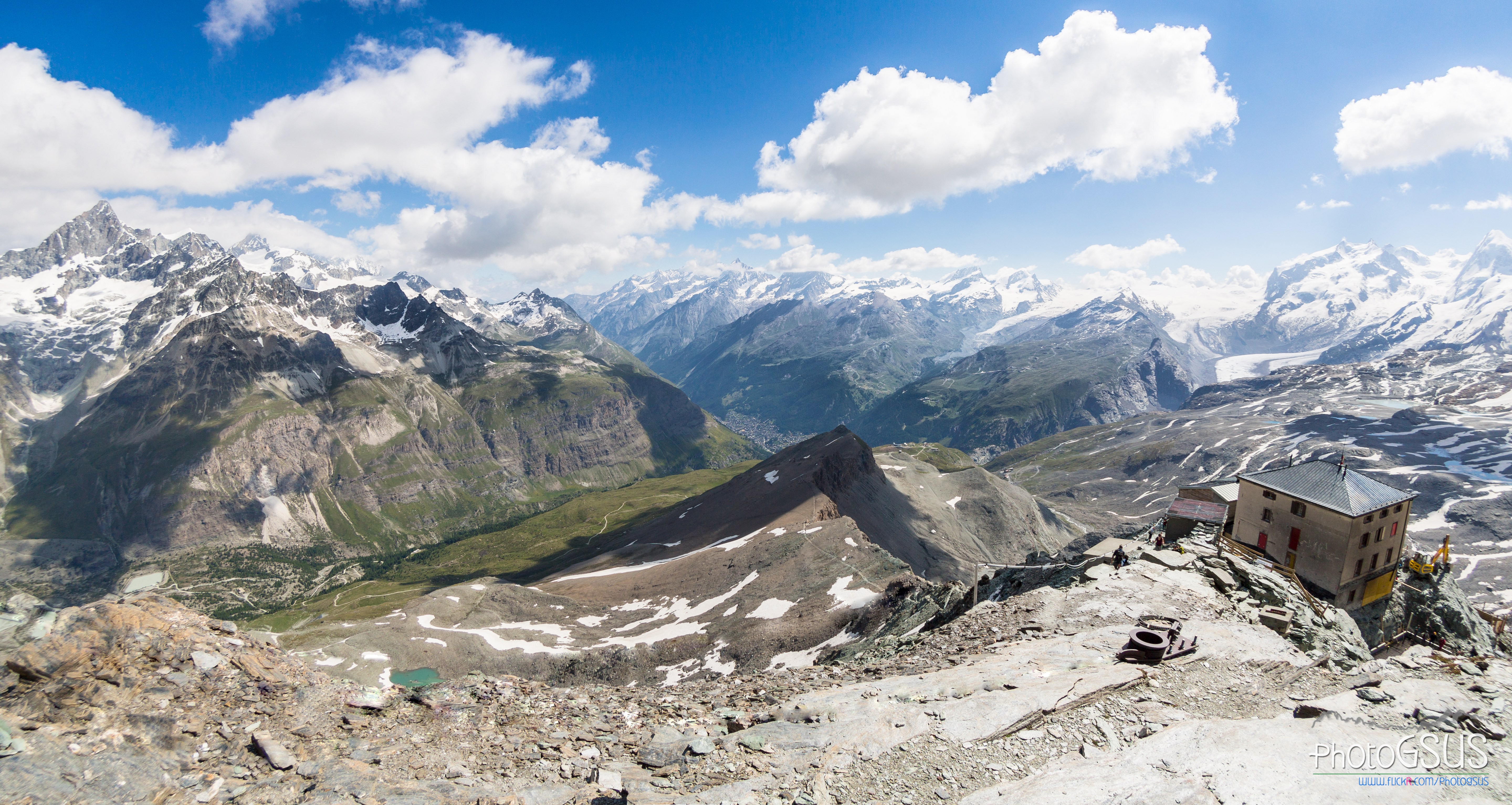
Clouds over Mischabel Range
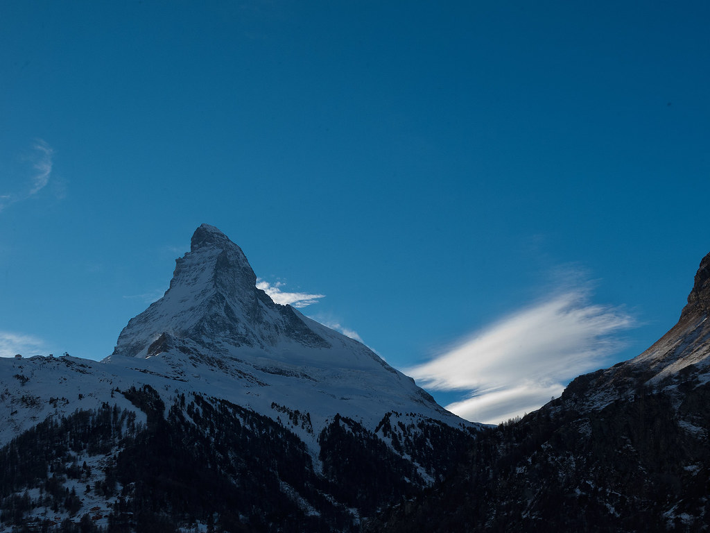
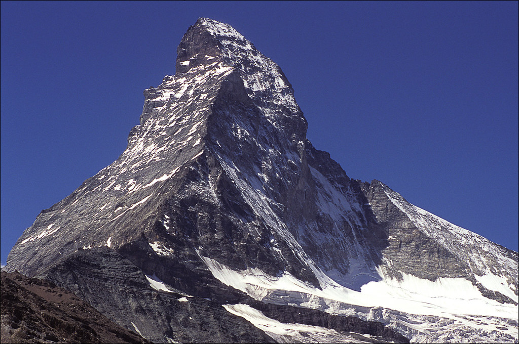
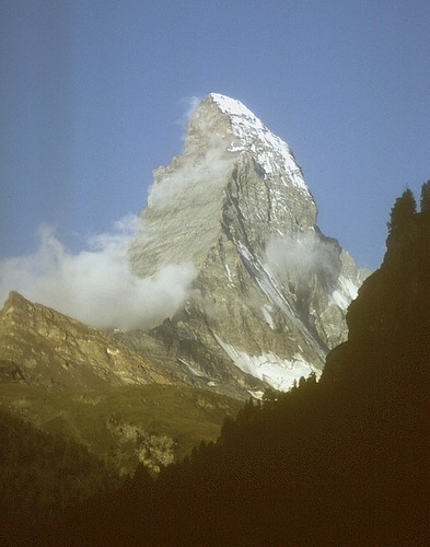
Mt. Cervin

Christmas Eve

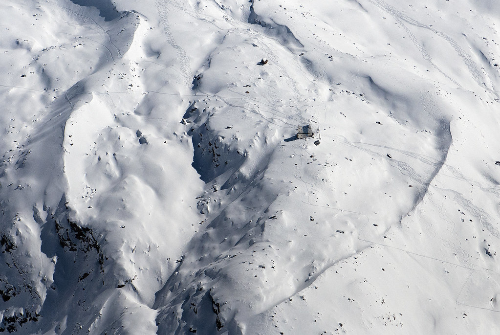
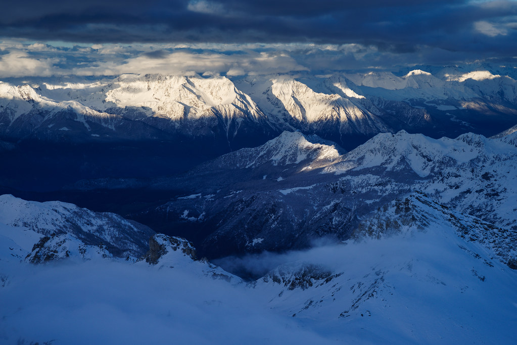
Mischabel Range - View From Aroleid
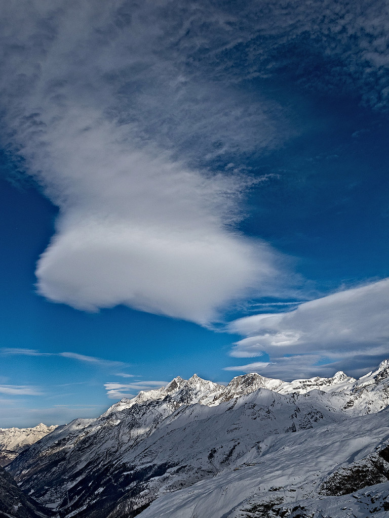
Clouds over Mischabel Range

mount Pinter
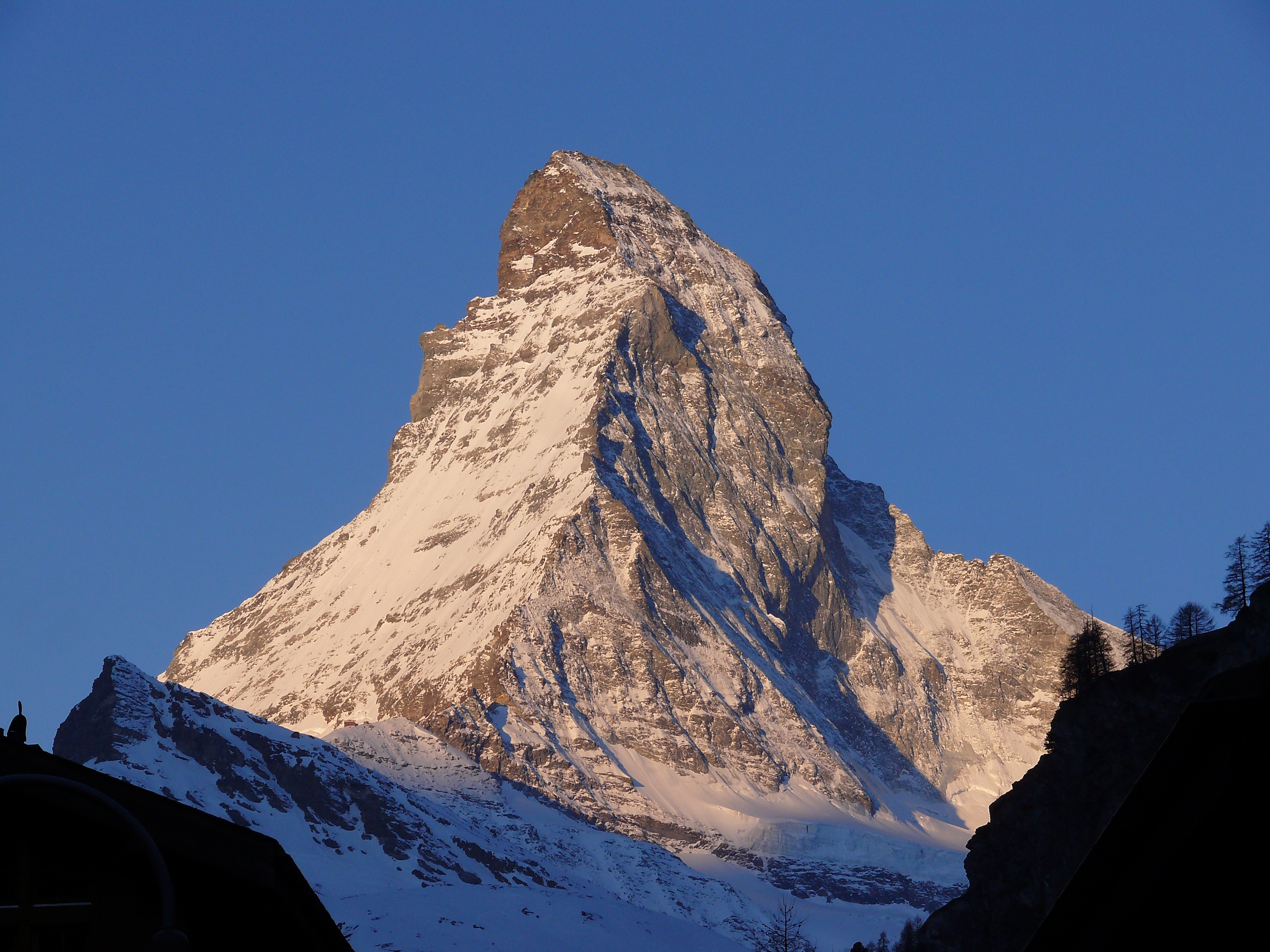
Sunrise on the Matterhorn, Zermatt
the perfect peak

Cervino #2
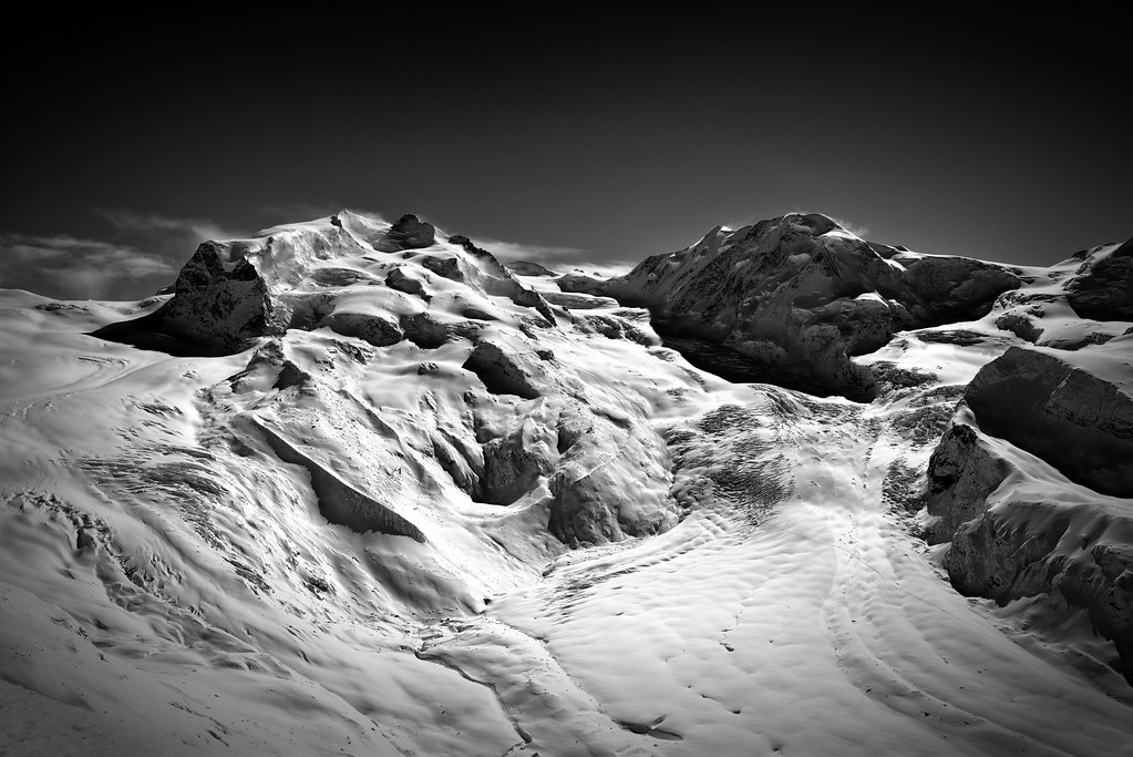
Monte Rosa Hut , at winter time.Monte Rosa Hütte, 2883 m.A view from The Gornergrat. No. 8.

The Klein Matterhorn , the Breithorn . A view from the train to the Gornergrat. No. 4202 B&W.
Alps...view from Gornergrat...

Mettelhorn from Gornergrat

Light on the Matterhorn

Grazing with a view

130820 Hikers enjoying view
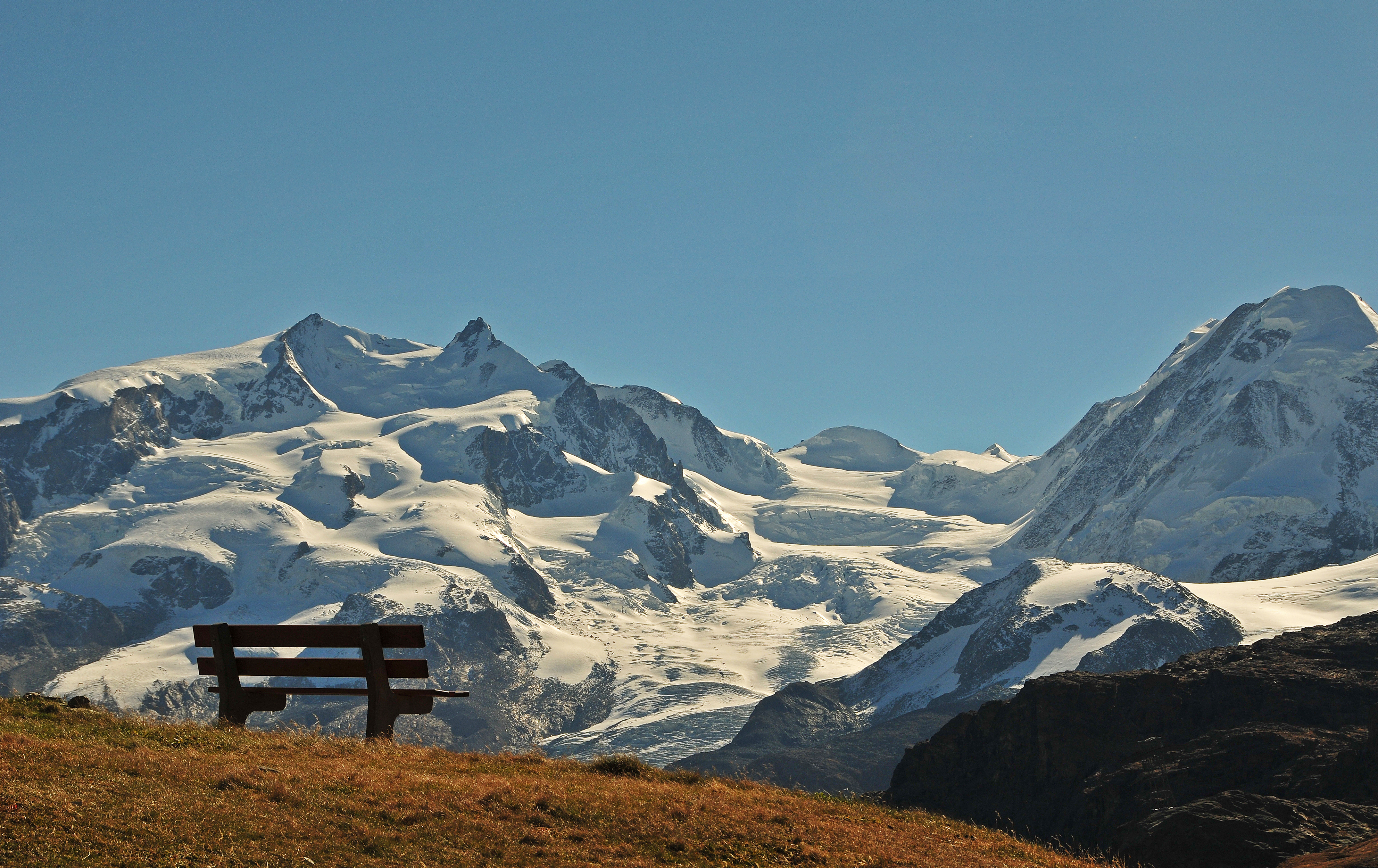
bench with a view !
Landscape from Hörnli Hut - Matterhorn - Switzerland
Cervino #3
matterhorn from zermatt
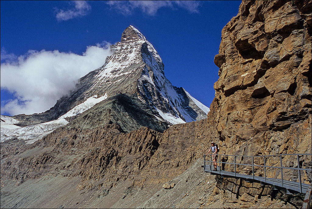
matterhorn approach
Topographic Map of Valtournenche, Aosta Valley, Italy
Find elevation by address:

Places near Valtournenche, Aosta Valley, Italy:
Valtournenche
Localita' Singlin, 1
Singlin
Valtournenche
Paquier
Cervinia - Breuil
Cervinia Valtournenche
Breuil-cervinia
Furggen
Matterhorn Mountain
Matterhorn
Testa Grigia
Furgghorn
Theodulhorn
Mont Brulé
Klein Matterhorn
Bouquetins
Trockener Steg
Bionaz
Dent Blanche
Recent Searches:
- Elevation map of Greenland, Greenland
- Elevation of Sullivan Hill, New York, New York, 10002, USA
- Elevation of Morehead Road, Withrow Downs, Charlotte, Mecklenburg County, North Carolina, 28262, USA
- Elevation of 2800, Morehead Road, Withrow Downs, Charlotte, Mecklenburg County, North Carolina, 28262, USA
- Elevation of Yangbi Yi Autonomous County, Yunnan, China
- Elevation of Pingpo, Yangbi Yi Autonomous County, Yunnan, China
- Elevation of Mount Malong, Pingpo, Yangbi Yi Autonomous County, Yunnan, China
- Elevation map of Yongping County, Yunnan, China
- Elevation of North 8th Street, Palatka, Putnam County, Florida, 32177, USA
- Elevation of 107, Big Apple Road, East Palatka, Putnam County, Florida, 32131, USA
- Elevation of Jiezi, Chongzhou City, Sichuan, China
- Elevation of Chongzhou City, Sichuan, China
- Elevation of Huaiyuan, Chongzhou City, Sichuan, China
- Elevation of Qingxia, Chengdu, Sichuan, China
- Elevation of Corso Fratelli Cairoli, 35, Macerata MC, Italy
- Elevation of Tallevast Rd, Sarasota, FL, USA
- Elevation of 4th St E, Sonoma, CA, USA
- Elevation of Black Hollow Rd, Pennsdale, PA, USA
- Elevation of Oakland Ave, Williamsport, PA, USA
- Elevation of Pedrógão Grande, Portugal