Elevation of LA-91, Gueydan, LA, USA
Location: United States > Louisiana > Vermilion Parish > >
Longitude: -92.514042
Latitude: 29.9804743
Elevation: 1m / 3feet
Barometric Pressure: 101KPa
Elevation Map:
Satellite Map:
Related Photos:
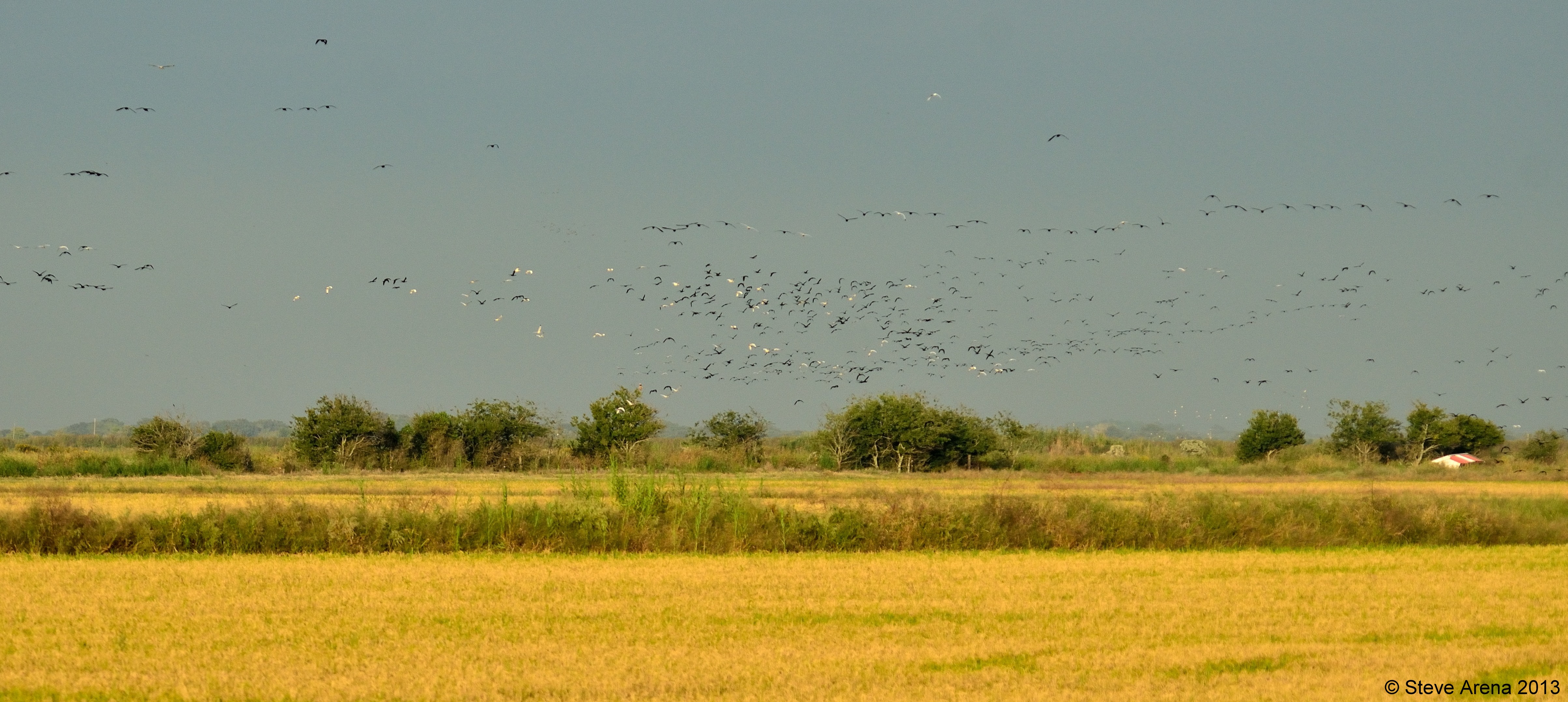
Massive GLIB, WFIB, and WHIB flight at dusk
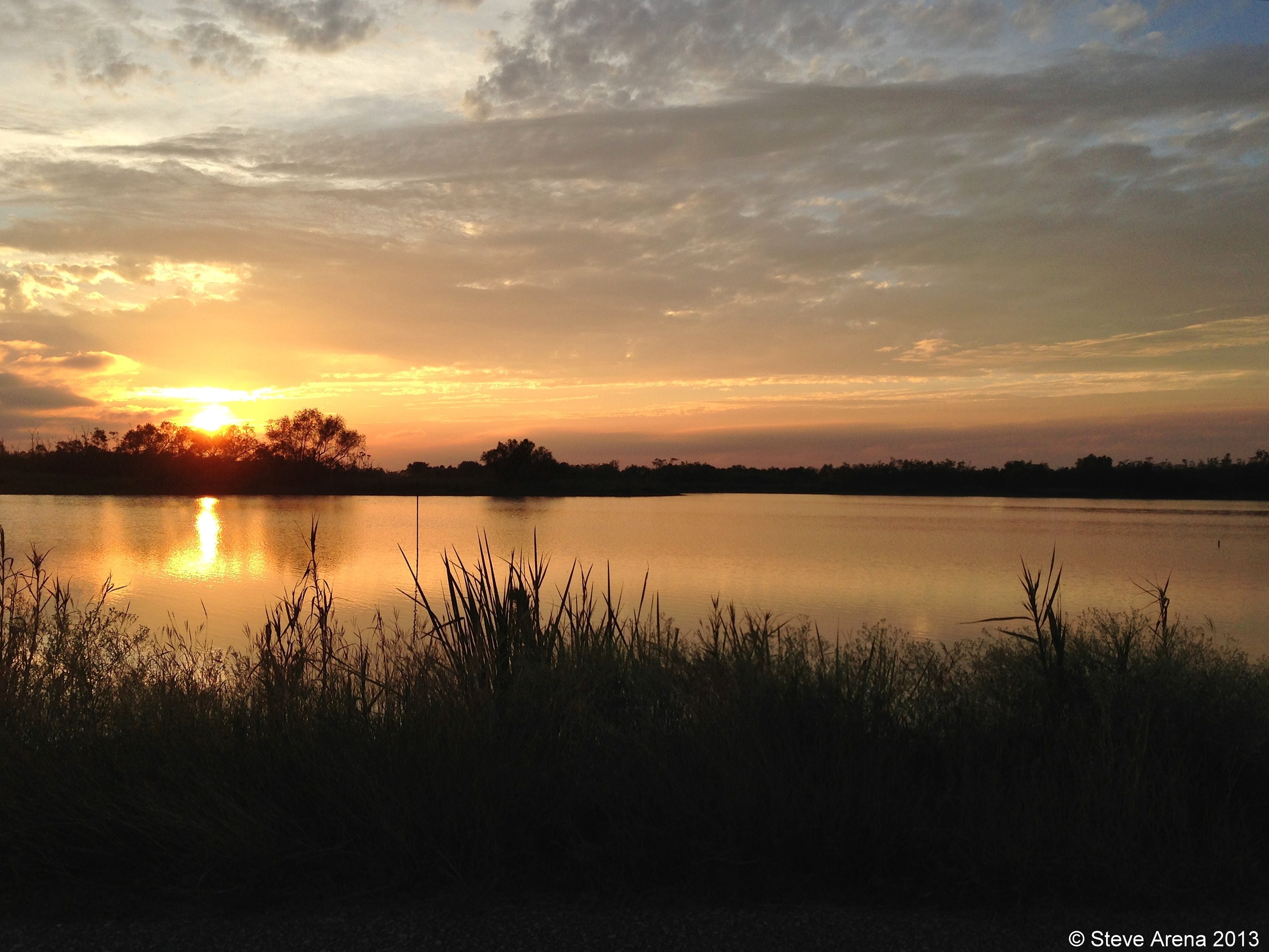
White Lake Conservation Area - Sunset

Gueydan, Louisiana City Hall

Gueydan, Louisiana City Hall

Federal Building and Post Office 70542 (Gueydan, Louisiana)
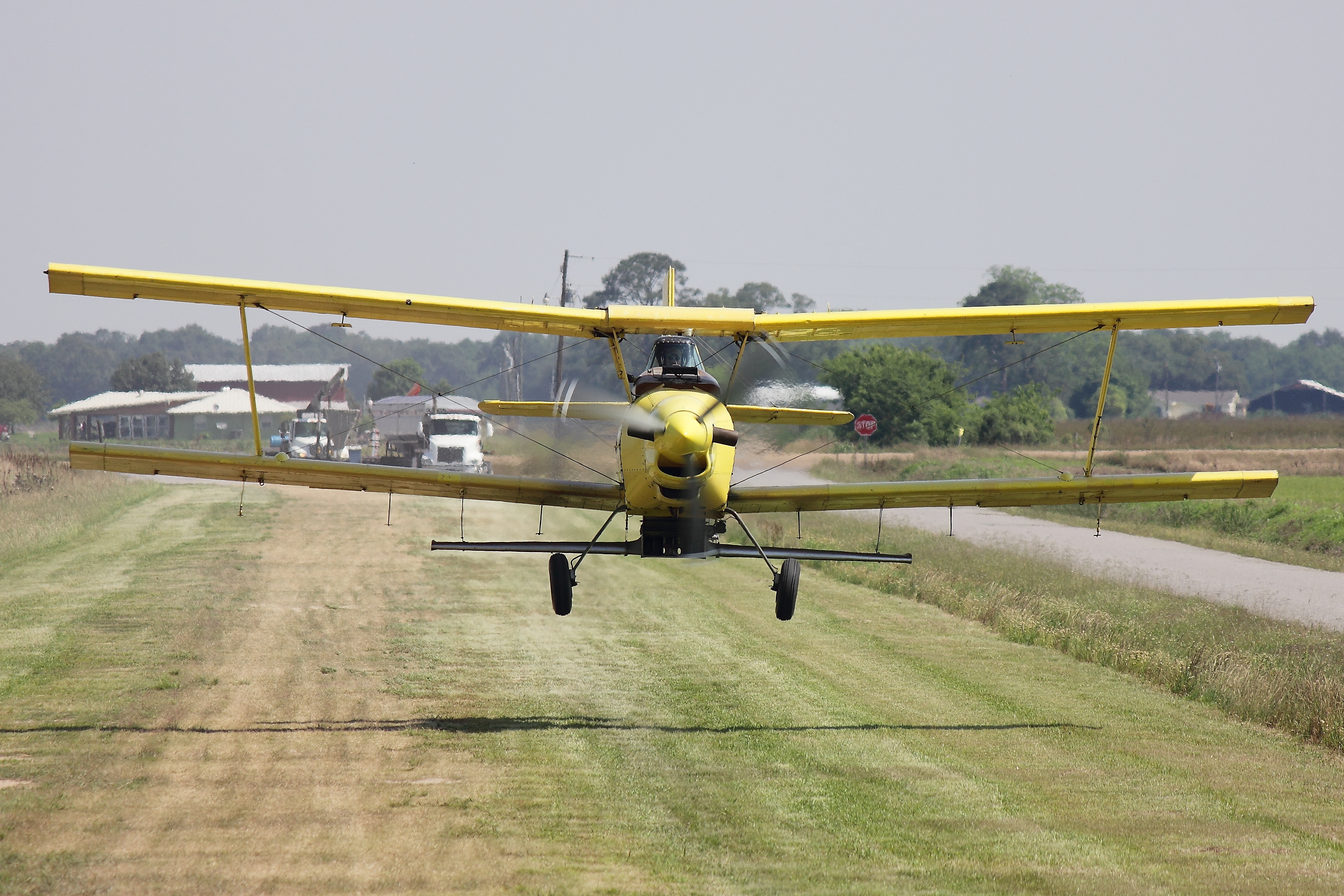
Ag Cat
IMG_2592-2

IMG_2771-2
Topographic Map of LA-91, Gueydan, LA, USA
Find elevation by address:

Places near LA-91, Gueydan, LA, USA:
14, LA, USA
Elliott Road
500 Garland St
308 10th St
405 Main St
Gueydan
201 Daspit St
1333 Garland St
713 Daspit St
1003 Daspit St
1003 Daspit St
600 11th St
711 7th St
1006 Levert St
802 6th St
515 Dallas Guidry Rd
1101 Levert St
801 7th St
911 8th St
1209 Levert St
Recent Searches:
- Elevation of Woodland Oak Pl, Thousand Oaks, CA, USA
- Elevation of Brownsdale Rd, Renfrew, PA, USA
- Elevation of Corcoran Ln, Suffolk, VA, USA
- Elevation of Mamala II, Sariaya, Quezon, Philippines
- Elevation of Sarangdanda, Nepal
- Elevation of 7 Waterfall Way, Tomball, TX, USA
- Elevation of SW 57th Ave, Portland, OR, USA
- Elevation of Crocker Dr, Vacaville, CA, USA
- Elevation of Pu Ngaol Community Meeting Hall, HWHM+3X7, Krong Saen Monourom, Cambodia
- Elevation of Royal Ontario Museum, Queens Park, Toronto, ON M5S 2C6, Canada