Elevation of 14, LA, USA
Location: United States > Louisiana > Vermilion Parish >
Longitude: -92.499991
Latitude: 29.9966679
Elevation: 1m / 3feet
Barometric Pressure: 101KPa
Elevation Map:
Satellite Map:
Related Photos:
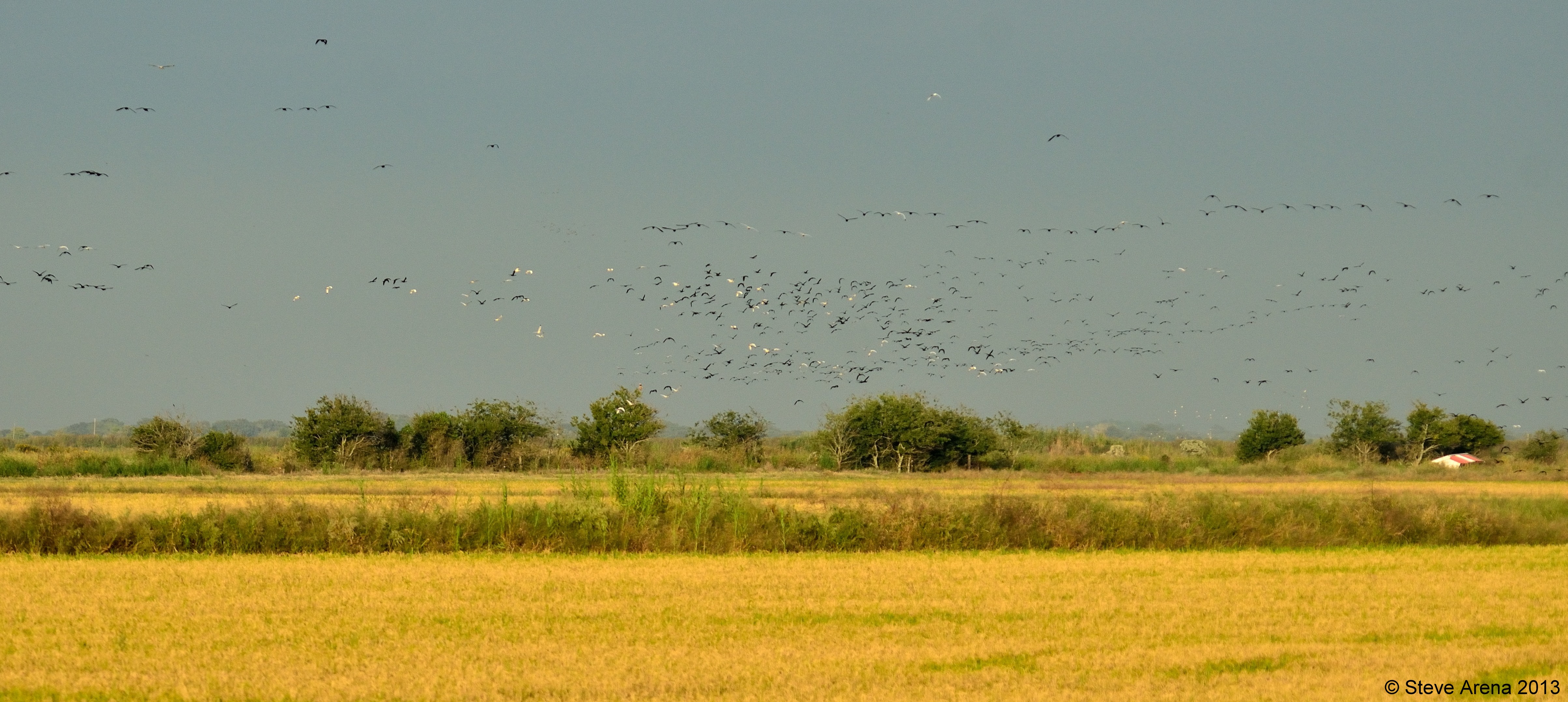
Massive GLIB, WFIB, and WHIB flight at dusk
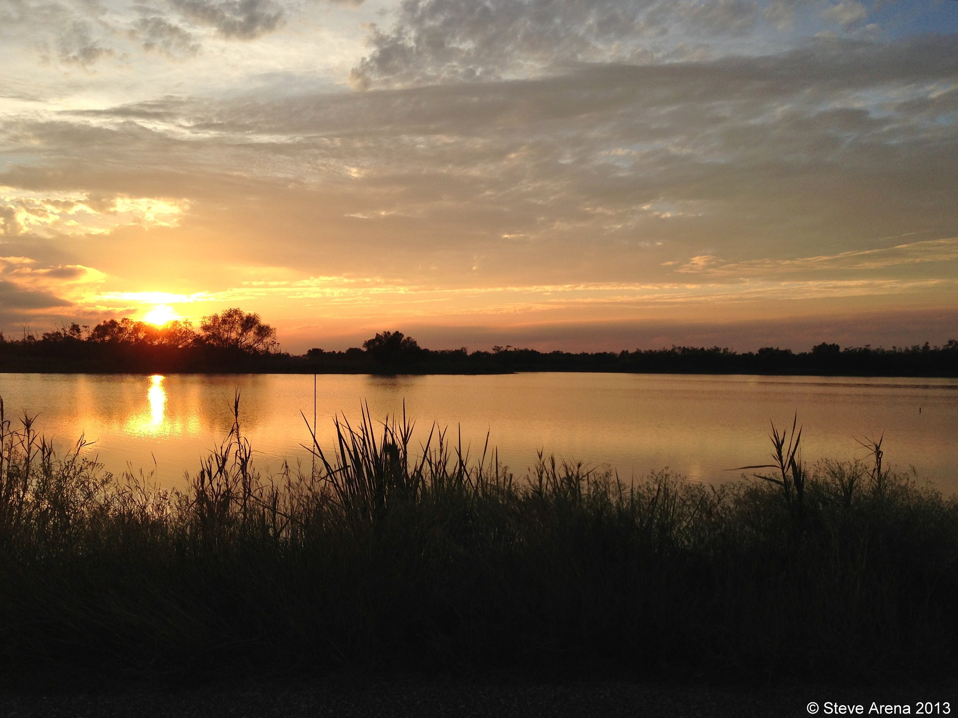
White Lake Conservation Area - Sunset

Gueydan, Louisiana City Hall

Gueydan, Louisiana City Hall

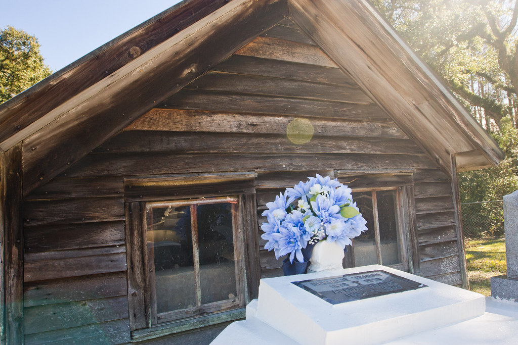
Federal Building and Post Office 70542 (Gueydan, Louisiana)
IMG_2592-2

IMG_2771-2
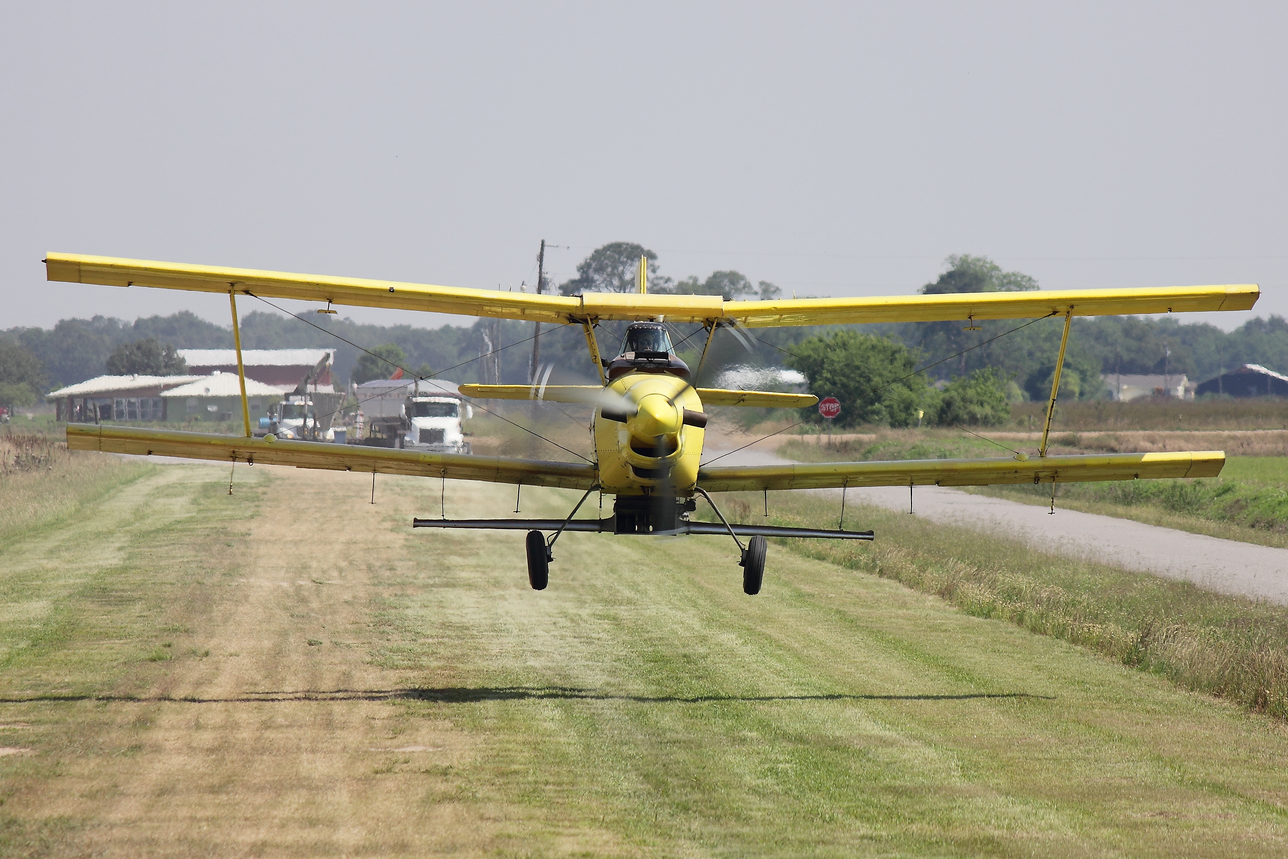
Ag Cat

Ag Cat
Topographic Map of 14, LA, USA
Find elevation by address:

Places in 14, LA, USA:
Gueydan
Campbell Road
Elliott Road
Hoffpauir Road
Main Street
Cypress Point Road
Zwan Road
Oliver Road
Arnold Road
Places near 14, LA, USA:
11202 La-91
1333 Garland St
308 10th St
500 Garland St
515 Dallas Guidry Rd
600 11th St
1003 Daspit St
1003 Daspit St
Gueydan
713 Daspit St
405 Main St
1006 Levert St
1209 Levert St
1101 Levert St
711 7th St
911 8th St
201 Daspit St
801 7th St
802 6th St
515 Henri Gueydan St
Recent Searches:
- Elevation of Unnamed Road, Respublika Severnaya Osetiya — Alaniya, Russia
- Elevation of Verkhny Fiagdon, North Ossetia–Alania Republic, Russia
- Elevation of F. Viola Hiway, San Rafael, Bulacan, Philippines
- Elevation of Herbage Dr, Gulfport, MS, USA
- Elevation of Lilac Cir, Haldimand, ON N3W 2G9, Canada
- Elevation of Harrod Branch Road, Harrod Branch Rd, Kentucky, USA
- Elevation of Wyndham Grand Barbados Sam Lords Castle All Inclusive Resort, End of Belair Road, Long Bay, Bridgetown Barbados
- Elevation of Iga Trl, Maggie Valley, NC, USA
- Elevation of N Co Rd 31D, Loveland, CO, USA
- Elevation of Lindever Ln, Palmetto, FL, USA