Elevation of KY-, Greenville, KY, USA
Location: United States > Kentucky > Muhlenberg County > Greenville >
Longitude: -87.236708
Latitude: 37.1785708
Elevation: 165m / 541feet
Barometric Pressure: 99KPa
Elevation Map:
Satellite Map:
Related Photos:

room with no view

Gourmet Express - Greenville, Kentucky (February 2013 aerial assignment)

lil' pumpkins

As American as ice cream bars.

dinner and conversation.

Happy Monday everyone!! #wedding #weddings #weddingday #gettingmarried #bride #bridetobe #picoftheday #instagood #instabride #bigday #love #natural #light #nikon #nashville #kentucky #kentuckybride #bgky #weddingphotographer
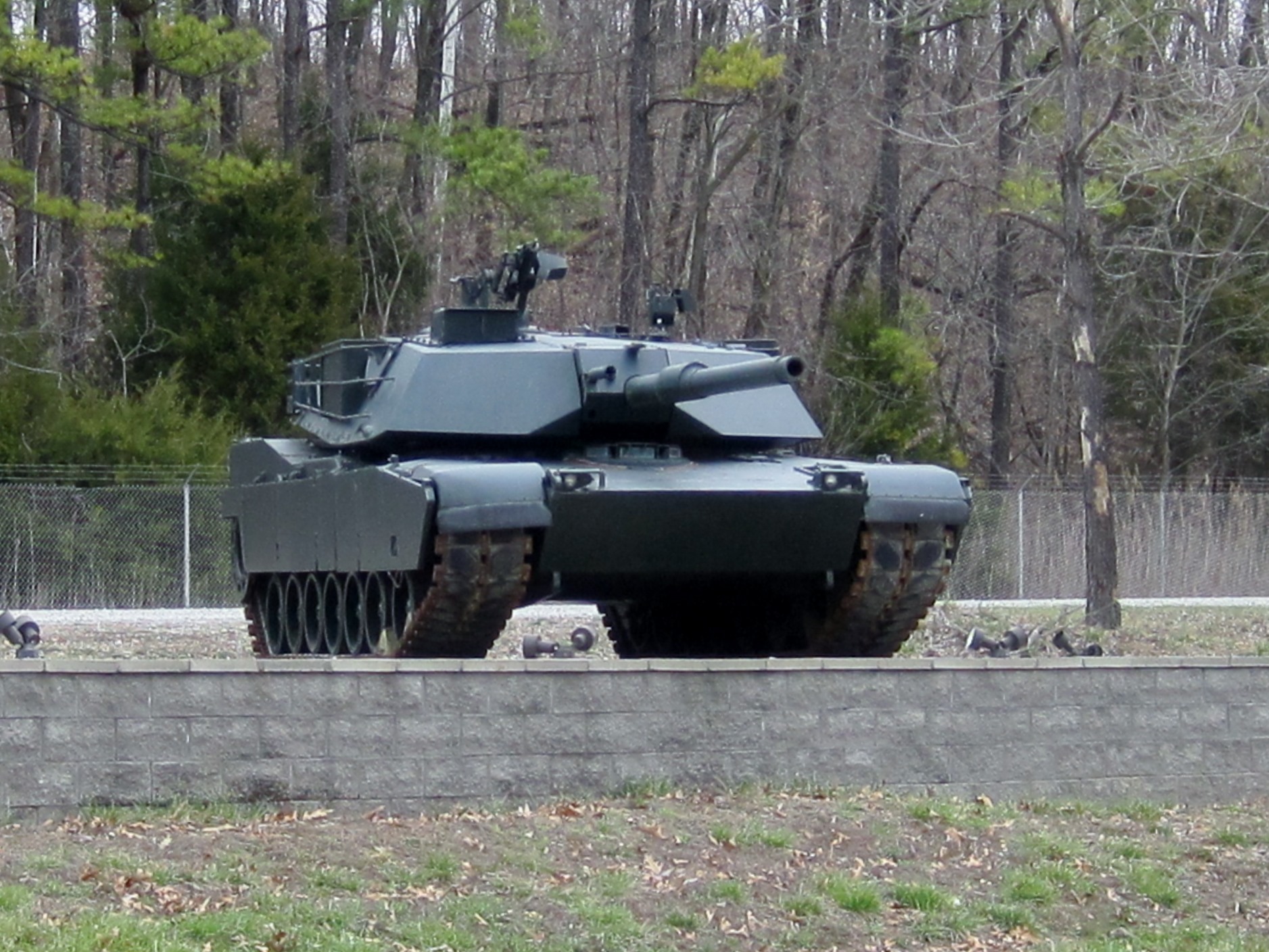
M1 Tank

I'm goin in

Corey Farlow Band Plays Season Finale of Saturday on the Square

Corey Farlow Band Plays Season Finale of Saturday on the Square
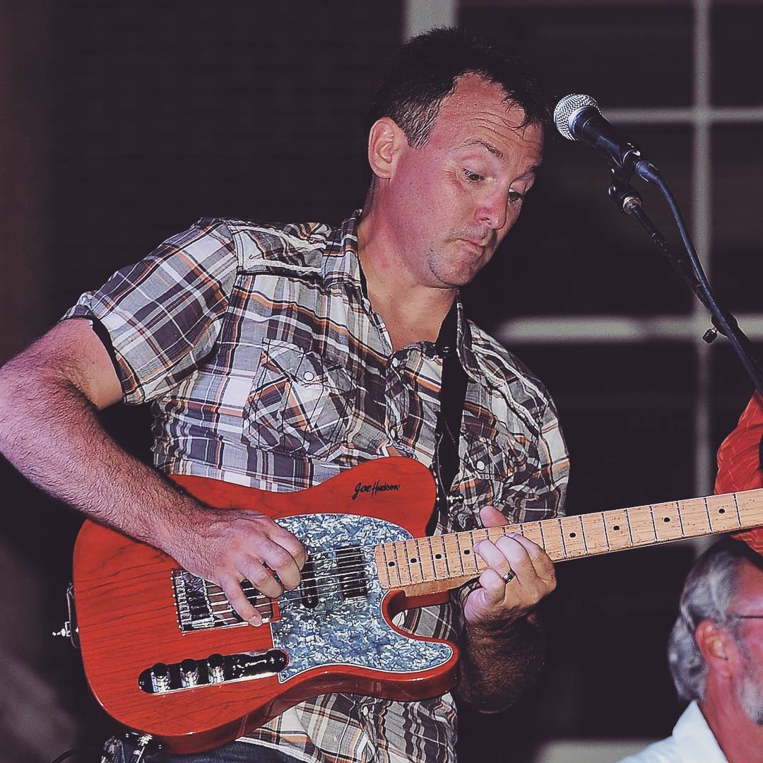
Corey Farlow Band Plays Season Finale of Saturday on the Square
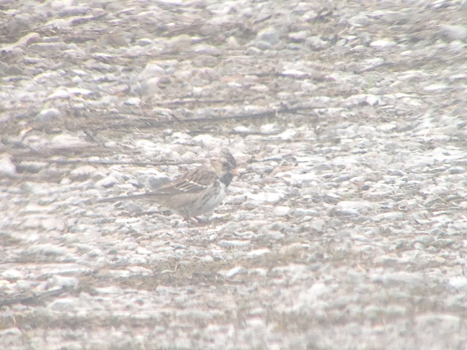
Harris's Sparrow
Topographic Map of KY-, Greenville, KY, USA
Find elevation by address:

Places near KY-, Greenville, KY, USA:
356 Henderson Ln
Graham
Lile Lane
132 Wilson Rd
1222 Mt Carmel-pond River Rd
Greenville Rd, White Plains, KY, USA
White Plains
KY-, Elkton, KY, USA
1627 Cavanaugh Rd
Stringtown Rd, Sacramento, KY, USA
1392 Judge Chapel Rd
Judges Chapel Road
1504-1502 Judge Chapel Rd
1500 Judge Chapel Rd
Crofton-Fruit Hill Rd, Crofton, KY, USA
6550 Crofton-fruit Hill Rd
Ovil Rd, Hopkinsville, KY, USA
Sacramento
243 Ky-85
11335 Greenville Rd
Recent Searches:
- Elevation of Bella Terra Blvd, Estero, FL, USA
- Elevation of Estates Loop, Priest River, ID, USA
- Elevation of Woodland Oak Pl, Thousand Oaks, CA, USA
- Elevation of Brownsdale Rd, Renfrew, PA, USA
- Elevation of Corcoran Ln, Suffolk, VA, USA
- Elevation of Mamala II, Sariaya, Quezon, Philippines
- Elevation of Sarangdanda, Nepal
- Elevation of 7 Waterfall Way, Tomball, TX, USA
- Elevation of SW 57th Ave, Portland, OR, USA
- Elevation of Crocker Dr, Vacaville, CA, USA