Elevation of KSOX Doppler Radar Tower, Main Divide Truck Trail, Silverado, CA, USA
Location: United States > California > Orange County > Silverado >
Longitude: -117.63605
Latitude: 33.8175211
Elevation: 923m / 3028feet
Barometric Pressure: 91KPa
Elevation Map:
Satellite Map:
Related Photos:

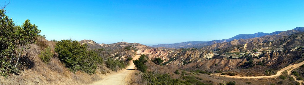
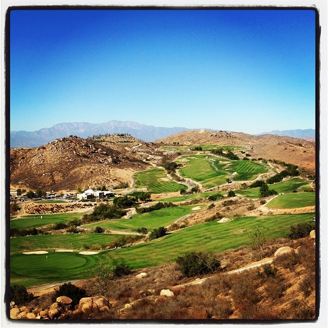
Reaching to the Sky

Hiking Higher

2017/18 Supermoon Trilogy Triptych
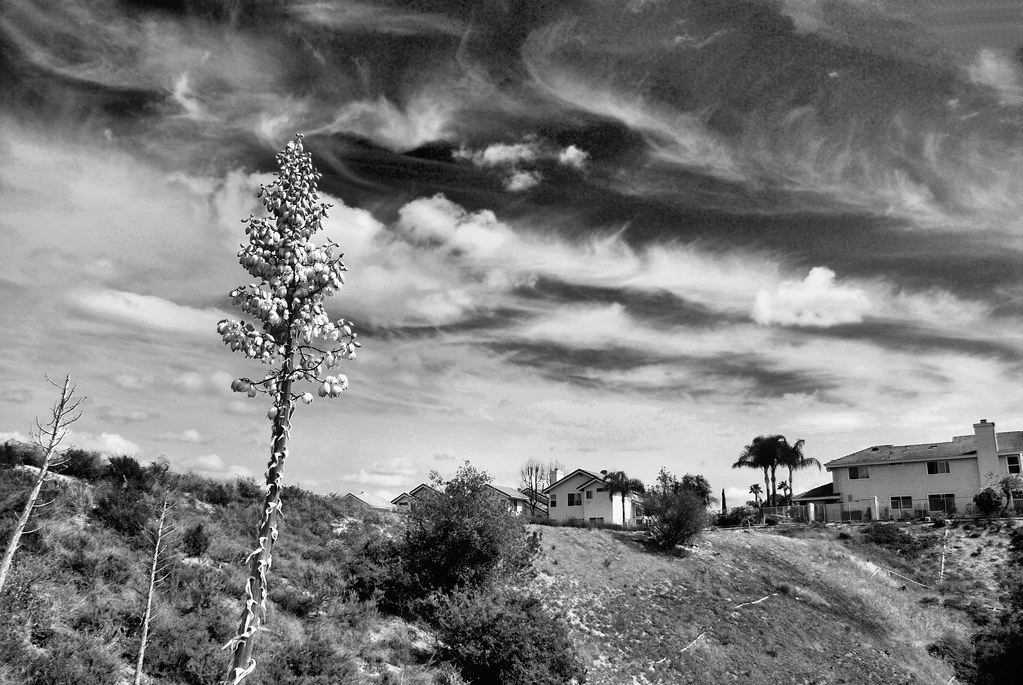
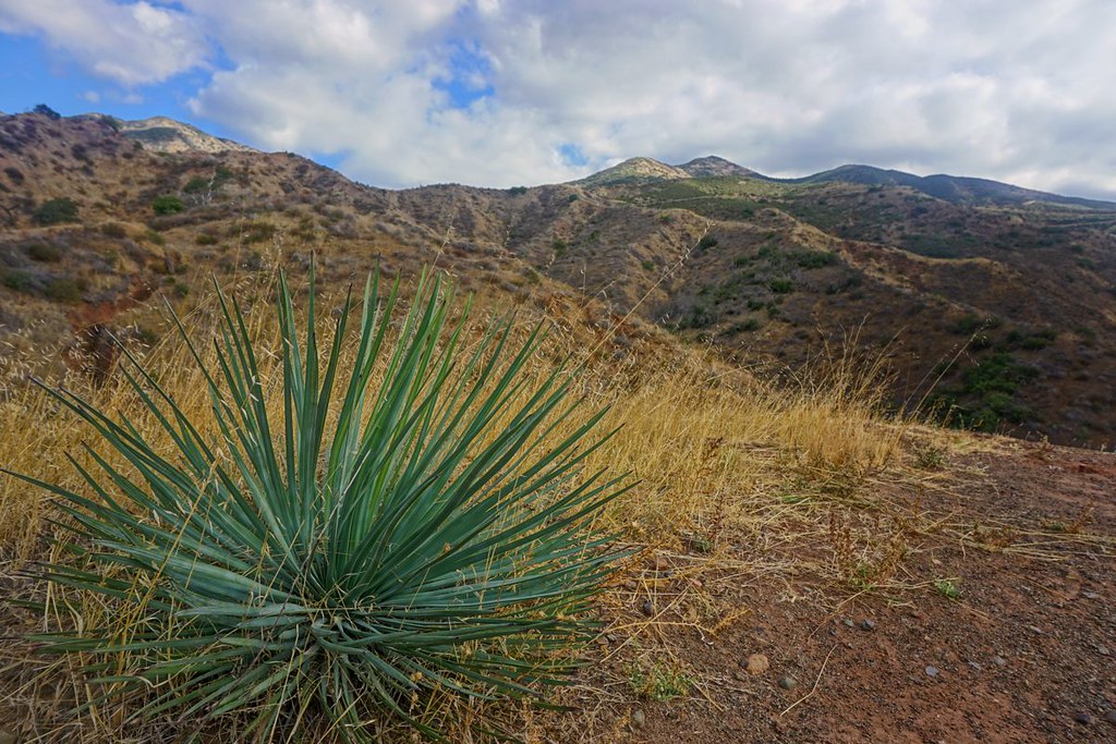
Yucca at Portola Hills

Blue Bloodied

Marilyn (Matilija Poppy)
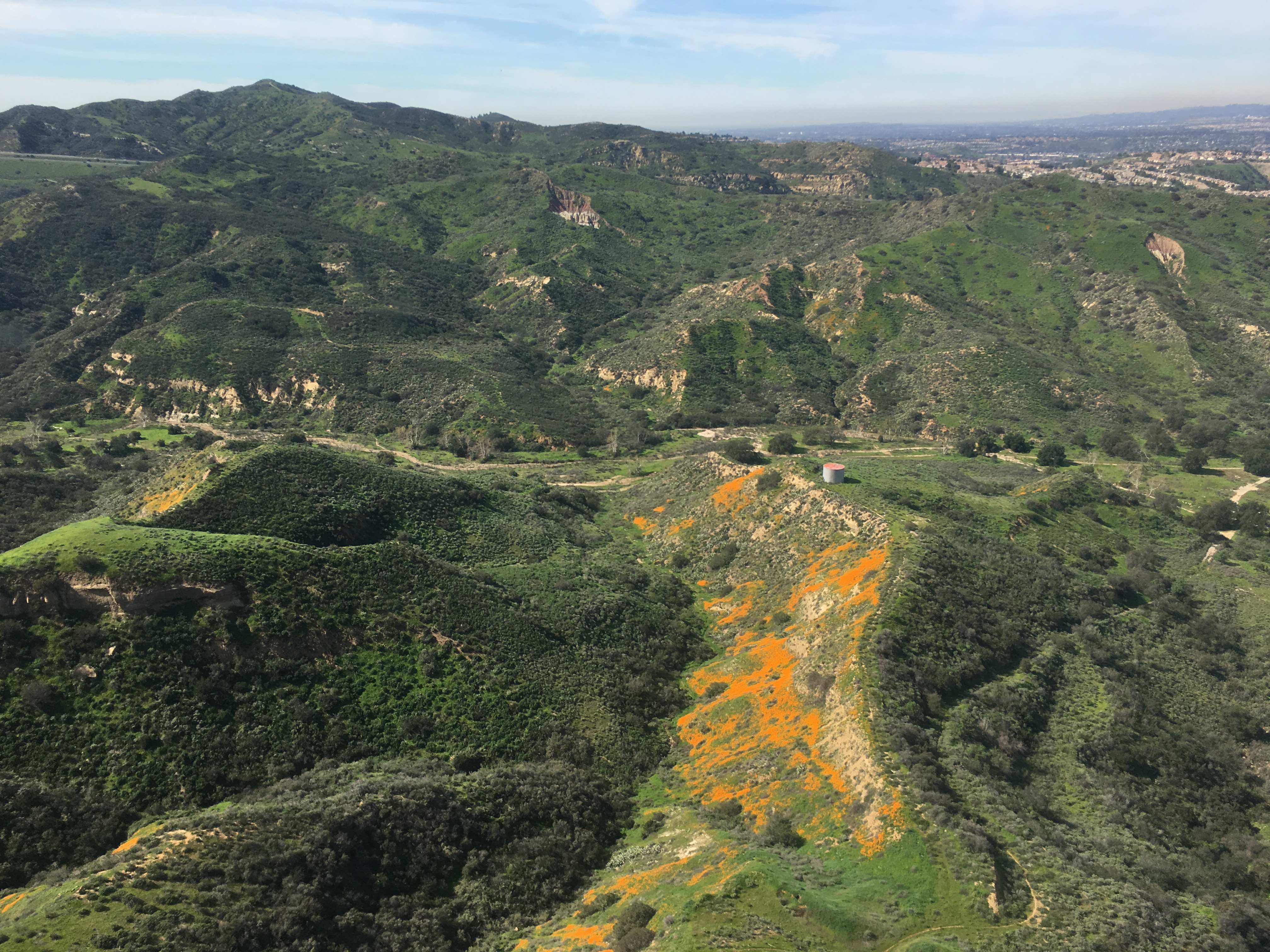
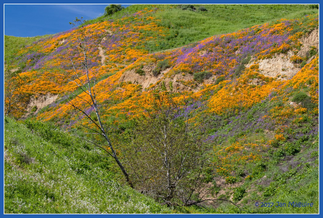
Gypsum Canyon Poppies
Somewhere near Corona in CA - view from airplane window

Sage Thrasher (13018) Orange County, CA rare bird
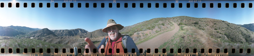
Harding Trail Spinner
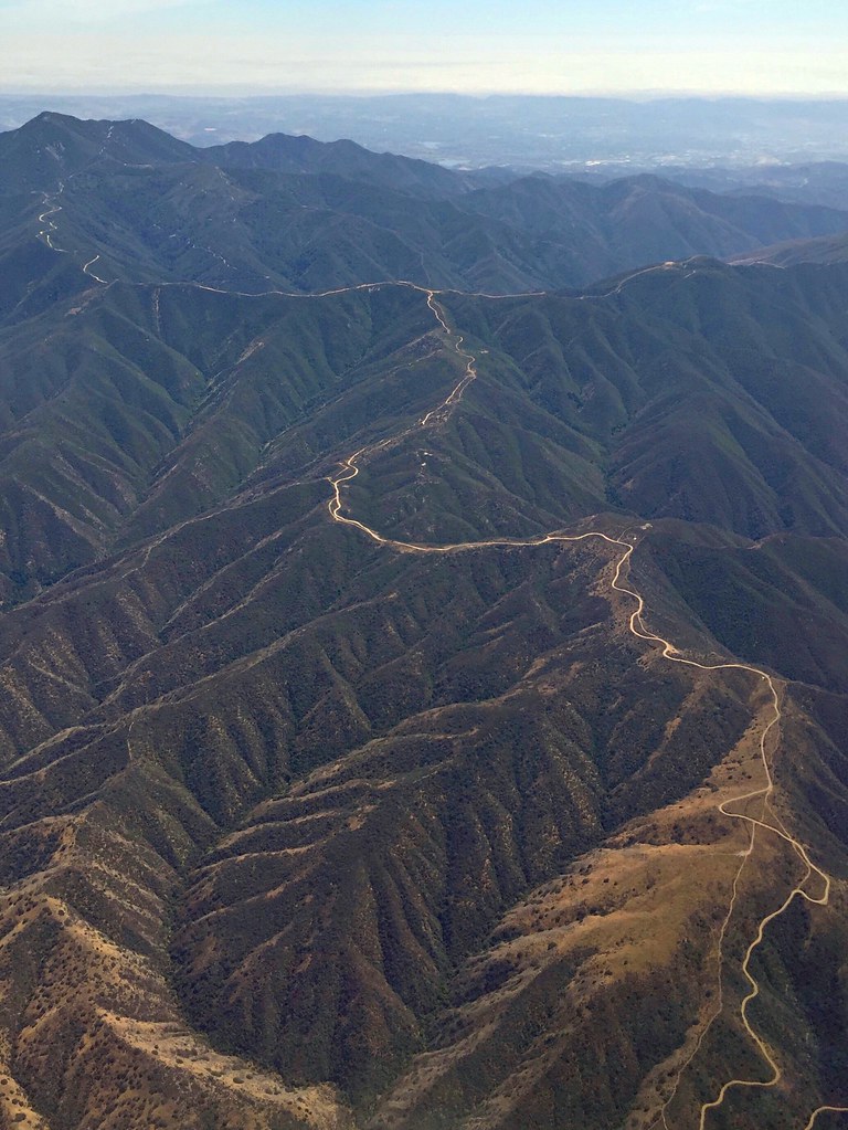
Cleveland National Forest
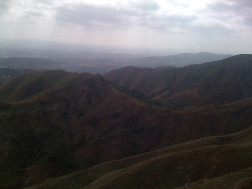
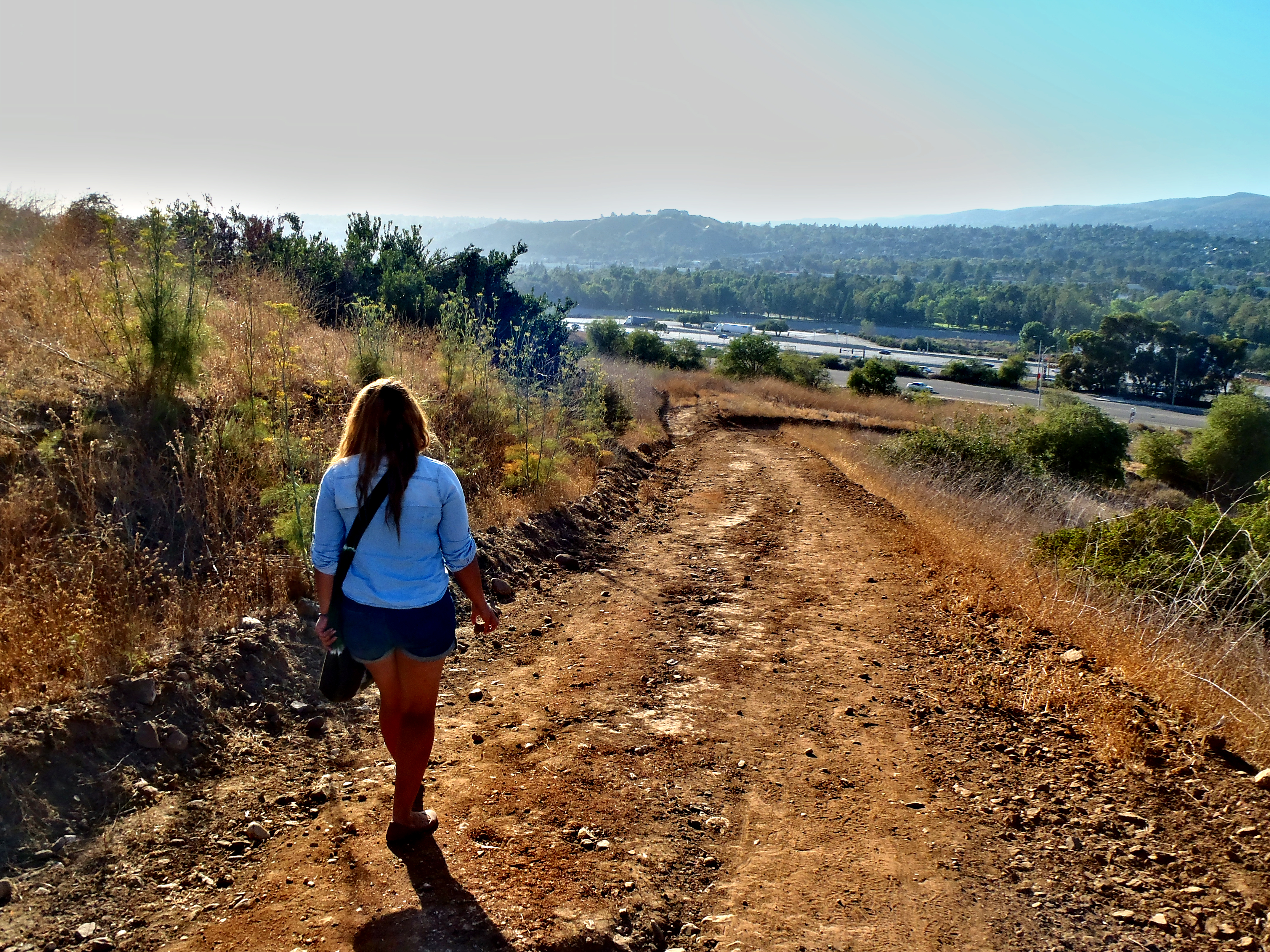
View from STT
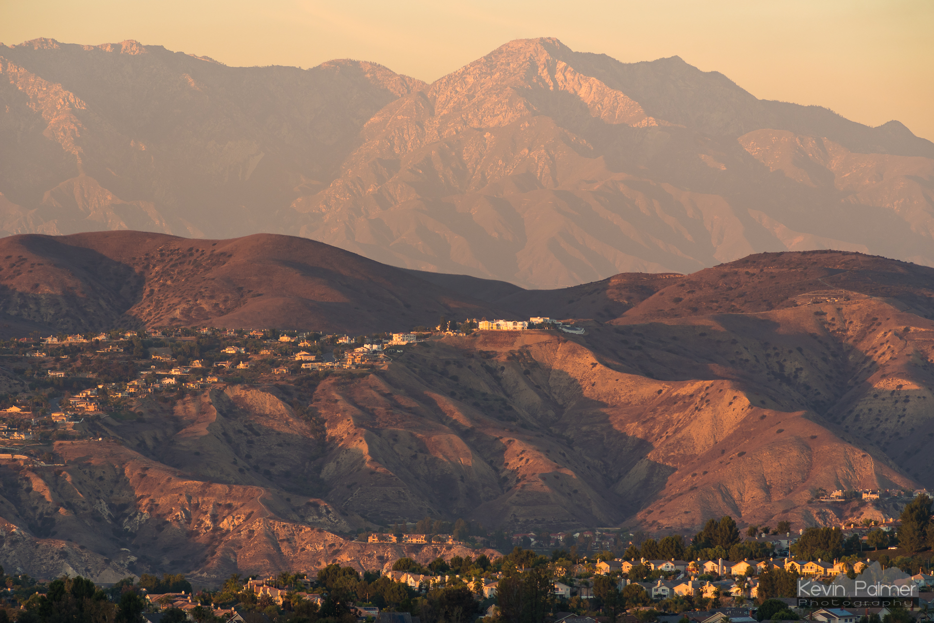
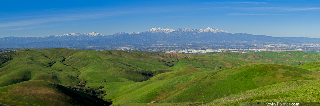
Chino Hills and Cucamonga Peak

Twilight View
Harding Canyon Spinner
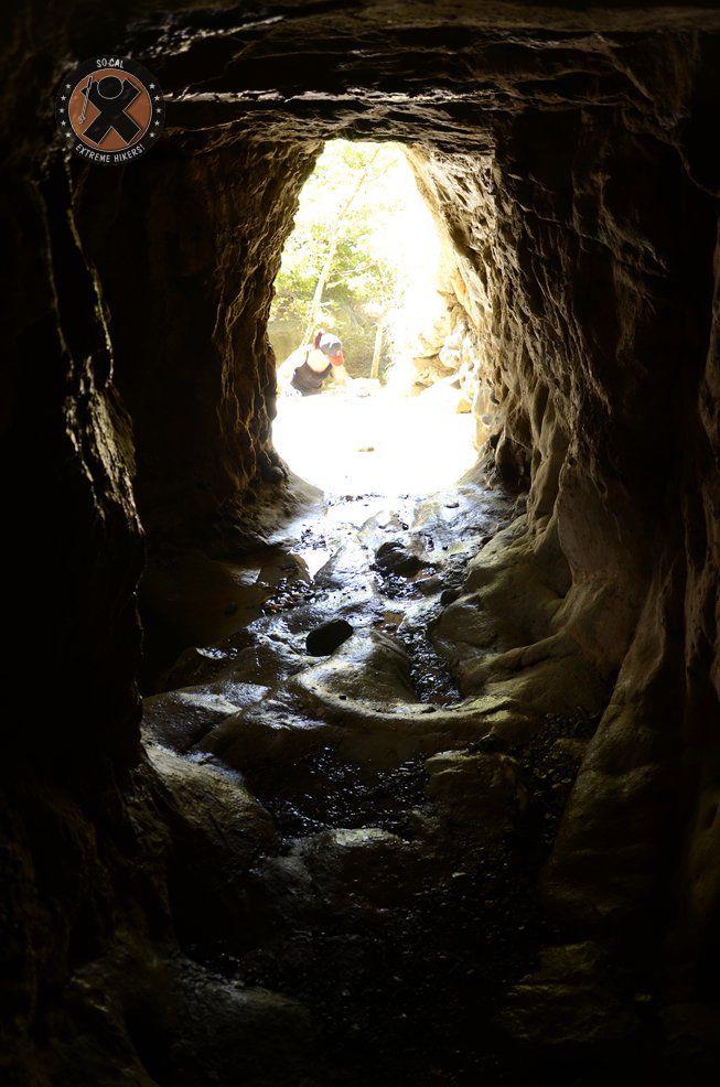
View from the inside of the mine shaft
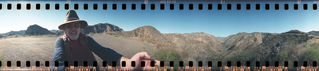
Chino Hills Panorama

Sunset View

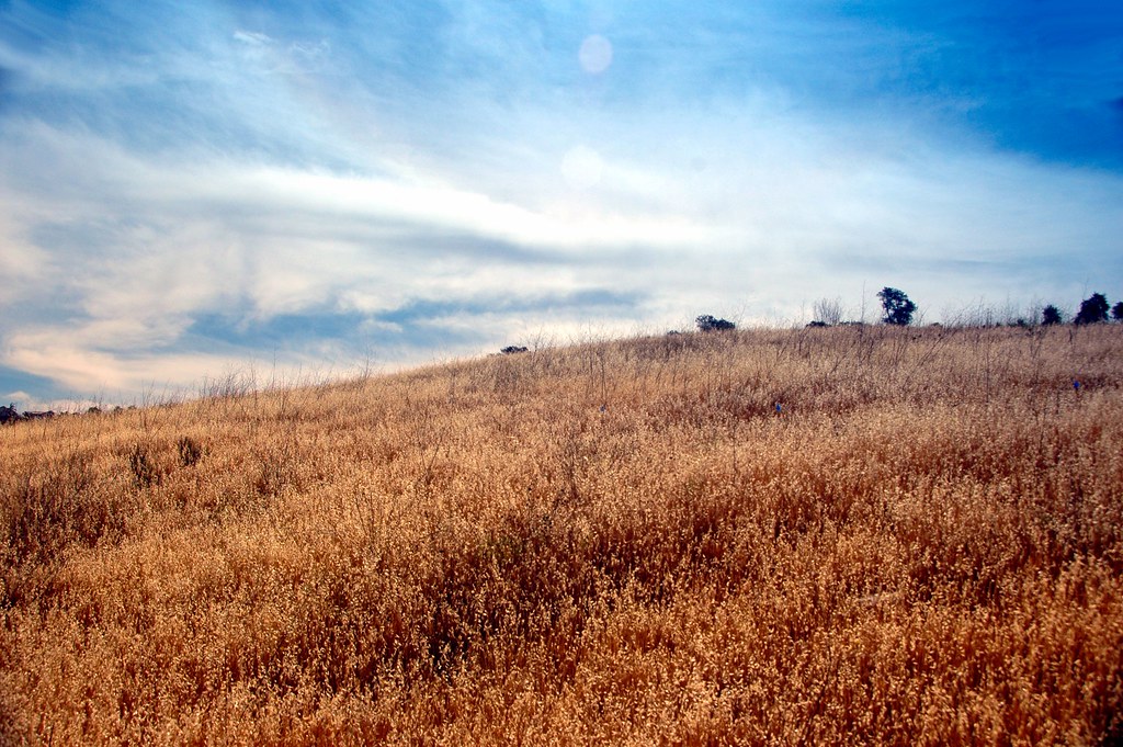
Wild Oats

A fractal of a day today
It's a Big, Small World After All

#new#travel#followme#tourism#instagramers#photolover#tbt#lol#nature#vivid#color#blue#sky#myart#egypt#redSea#tabaheight#justanidea#fun#lol#stillphoto#snapshot#peace#samiaphotography.com#losangeles#california#usa

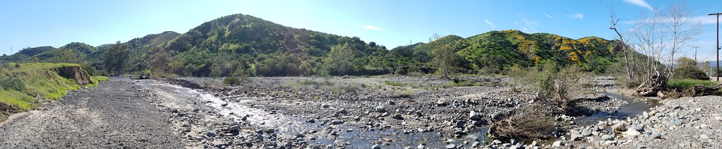
#new#landscape#nature#SantaAna#River#instamood#tbt#lol#sky#blue#parks#outdoors#summer#heat#Anaheim#CA#USA

#new#landscape#nature#SantaAnaRiver#instalove#lol#tbt#blue#sky#parks#outdoors#summer#heat#Anaheim#justanidea#express#yourself#CA#USA

Early Moon over Chaparral 2-14-2011

Image acquired by Sentinel-2B on 2019 January 19 at 18:44 UTC. Centre coordinates: 33.84 N, 117.49 W.
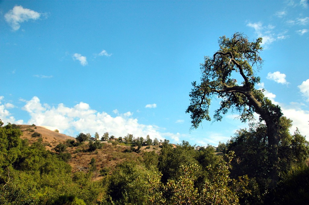
Old Oak and Landscape
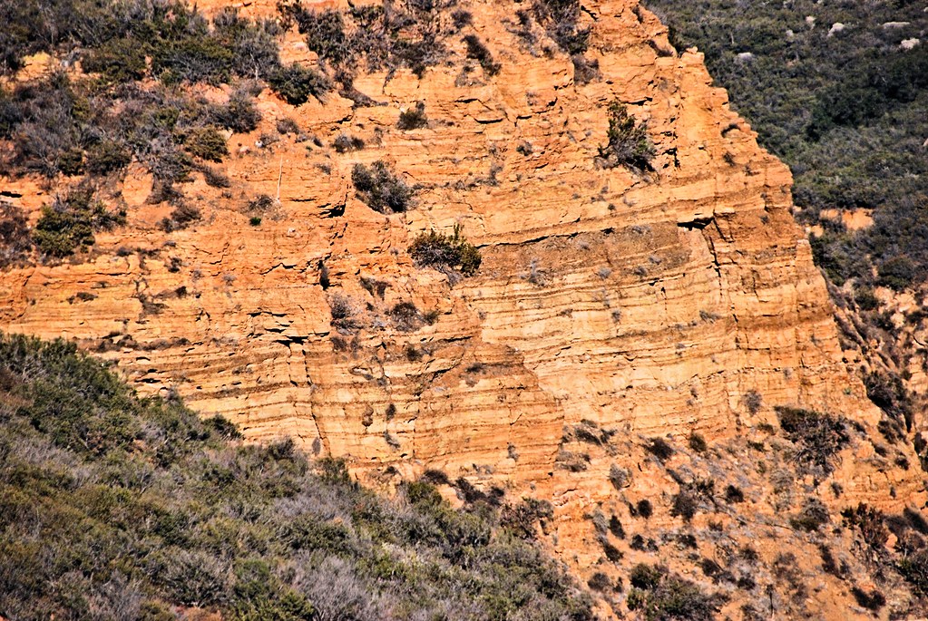
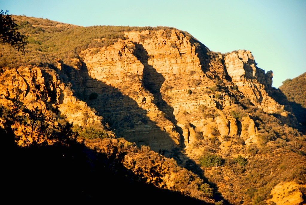
Dreaded Hill and Red Rocks

Red Rock and the First Hint of Chaparral
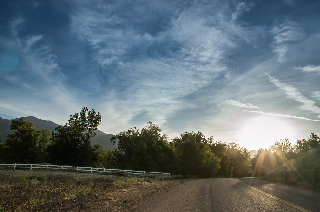
The Road
Black Star Canyon
Santiago Canyon

Lives of the Rich in Yorba Linda
Always enjoy playing here.

#new#greatfall#changingleaves#vivid#color#instaphoto#tbt#lol#fun#peace#nature#justanidea#coloroflight#expressyourself#nationalpark#anaheim#ca
Black Star Canyon

Black Star Canyon 43

The Glow of the Pacific

In the Meadow
Chino Hills 5630
Edge of the World
Topographic Map of KSOX Doppler Radar Tower, Main Divide Truck Trail, Silverado, CA, USA
Find elevation by address:

Places near KSOX Doppler Radar Tower, Main Divide Truck Trail, Silverado, CA, USA:
3200 Mangular Ave
3785 Mountain Gate Dr
1232 Goldenview Dr
895 Sheppard Crest Dr
1460 Canyon Crest Dr
2515 Glenbush Cir
2885 Coral St
411 Orange Heights Ln
2396 Palisades Dr
4063 Suzie Cir
3540 Birchleaf Dr
753 Vía Felipe
132 Pringle Cir
3211 S Main St
2964 Bishop Way
S. Avenida Del Vista @ Via Santiago
Royal Summit Circle
3770 Wallowa Cir
311 Bonnie Cir
2550 S Main St
Recent Searches:
- Elevation of Martins Mill Ct, Eagle Rock, NC, USA
- Elevation of Kippen, Stirling FK8, UK
- Elevation of Sieveringer Straße, Sieveringer Str., Wien, Austria
- Elevation of Bratskaya Ulitsa, 24, Kurgan, Kurganskaya oblast', Russia
- Elevation of Paradisvegen, Biri, Norway
- Elevation of Crystal Cir, Birmingham, AL, USA
- Elevation of N Railroad Ave, West Palm Beach, FL, USA
- Elevation of 55 Cassick Valley Rd, Wellfleet, MA, USA
- Elevation of Ironwood Dr, Minden, NV, USA
- Elevation of 高尾山口駅, Takaomachi, Hachioji, Tokyo -, Japan