Elevation of Kitzmiller, MD, USA
Location: United States > Maryland > Garrett County > 13, Kitzmiller >
Longitude: -79.182257
Latitude: 39.3878758
Elevation: 490m / 1608feet
Barometric Pressure: 96KPa
Elevation Map:
Satellite Map:
Related Photos:

Persian Speedwell

Baltimore & Ohio Altamont Tower, blue hour, 1980

Saddle Mountain - Allegheny Front - WV - August 1960
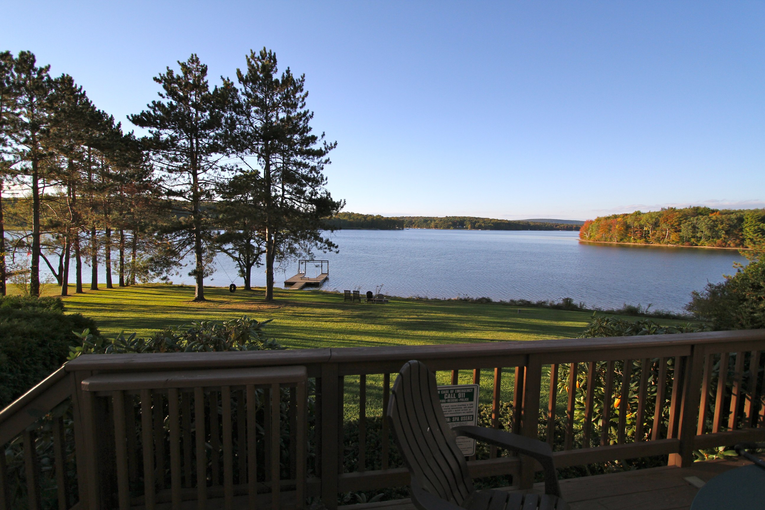
View from the Hot Tub
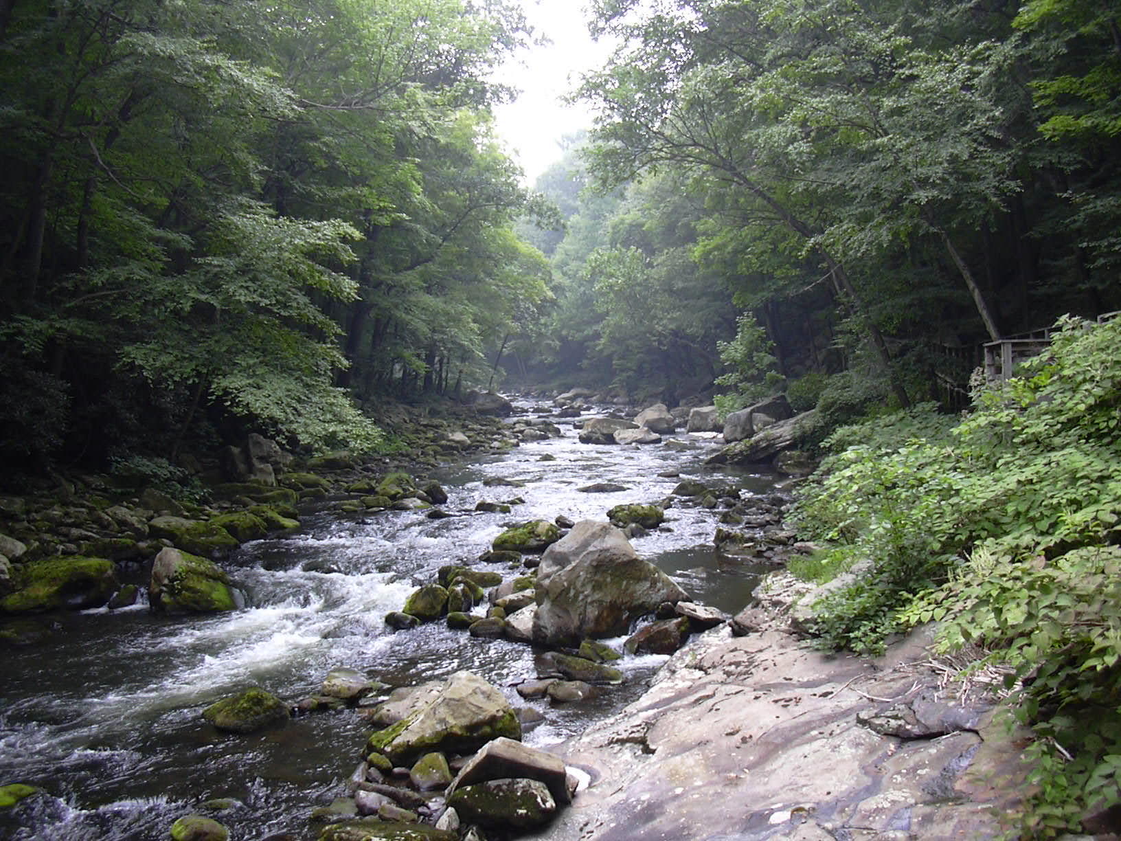
Savage River..
Hanging Out
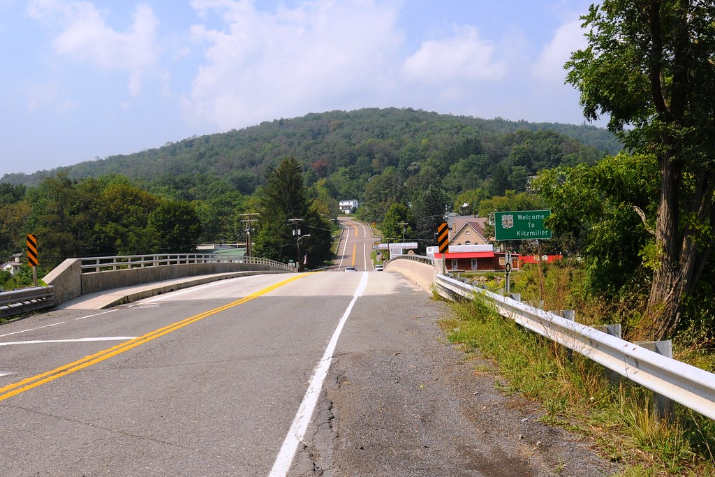
View from WV side of bridge
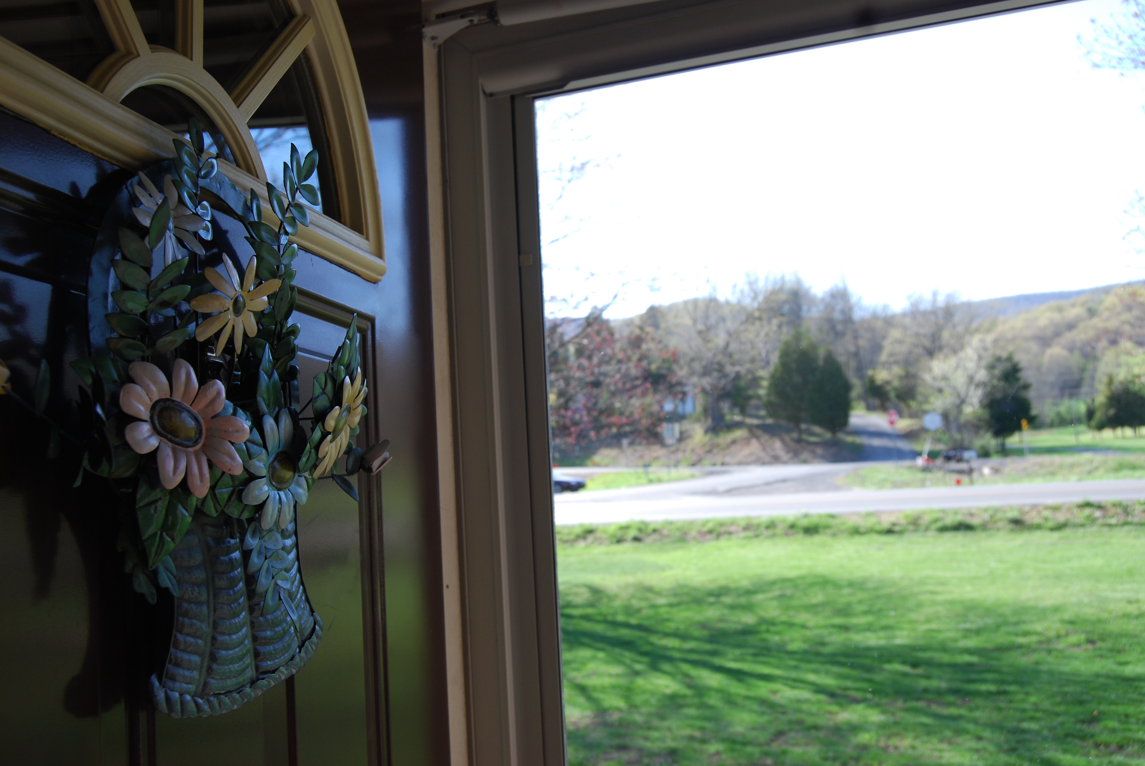
Out The Door
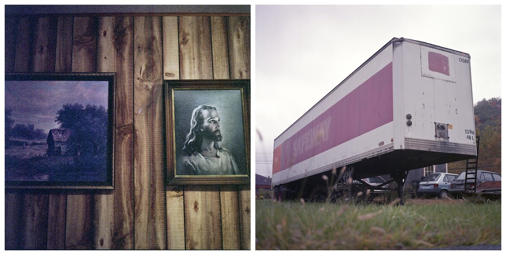
safe way
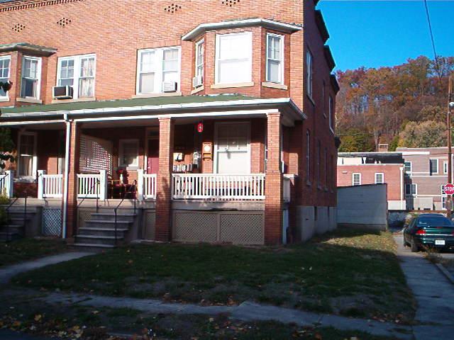
house view from across the street view

Barn in the Woods
Line Up

Long road ahead

Dramatic Clouds

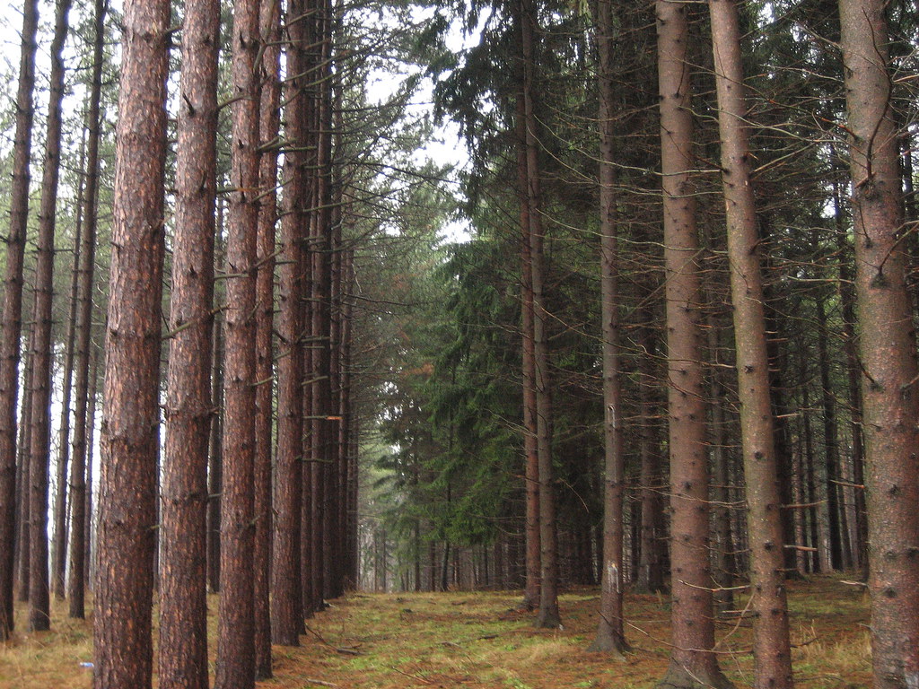
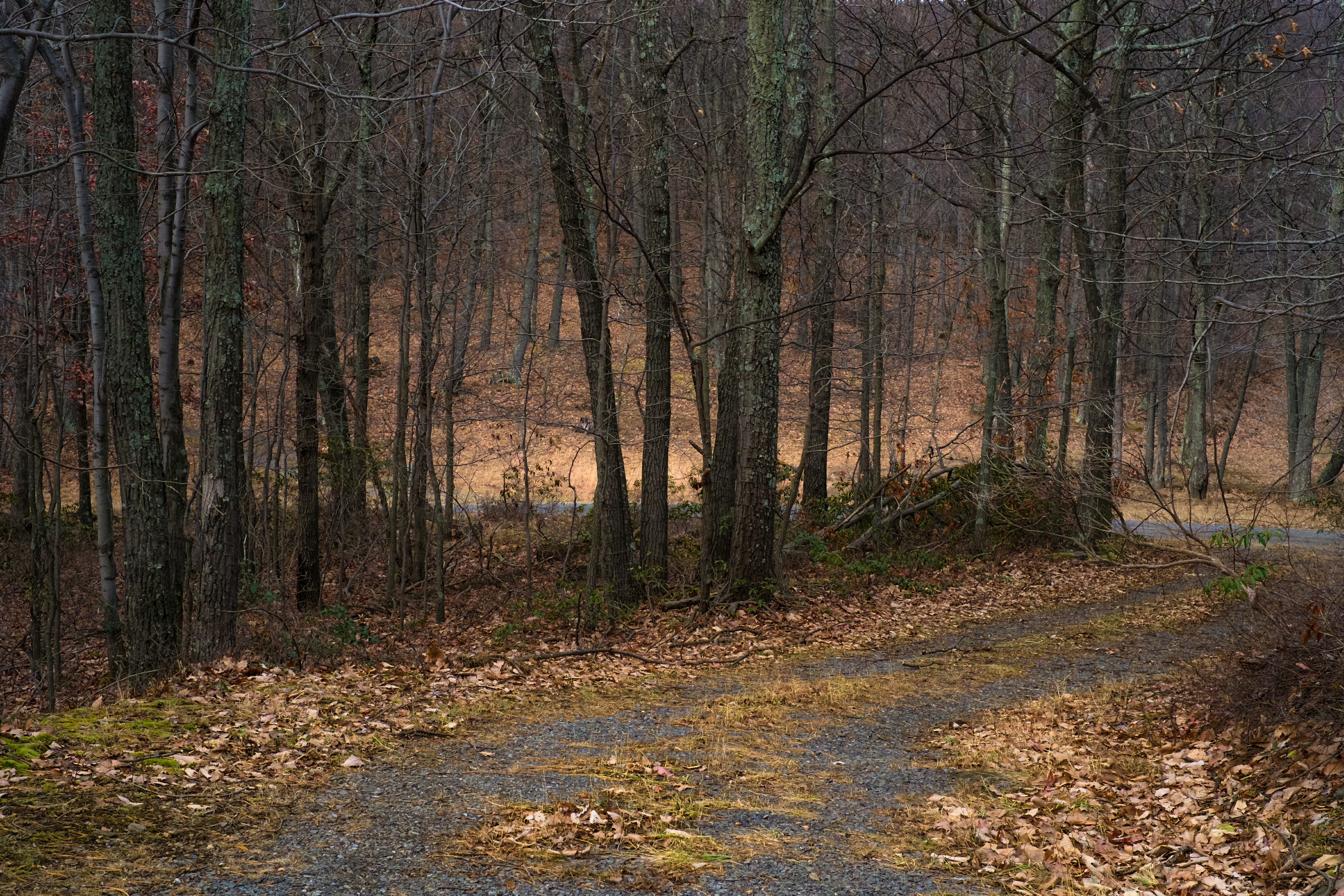
Lonely Woods

2015-07-22 5176
Each Truthful Act Transforms the World

This is why I take 68 instead of the turnpike. I always feel like I'm in a spaceship!

Spring Lick - Savage River
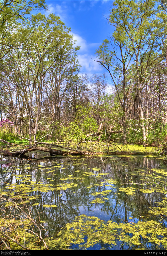
Dreamy Day

Saddle Mountain, WV

20140628_DeepCreekMD_026.jpg
Hiking Scene
2013-07-17 2081
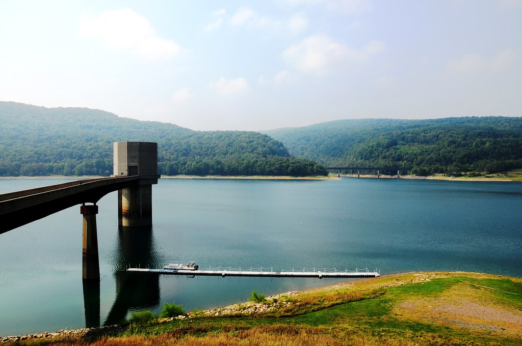
Jennings Randolph Lake, WV
White picket fence
gone fishin'
Moo Street
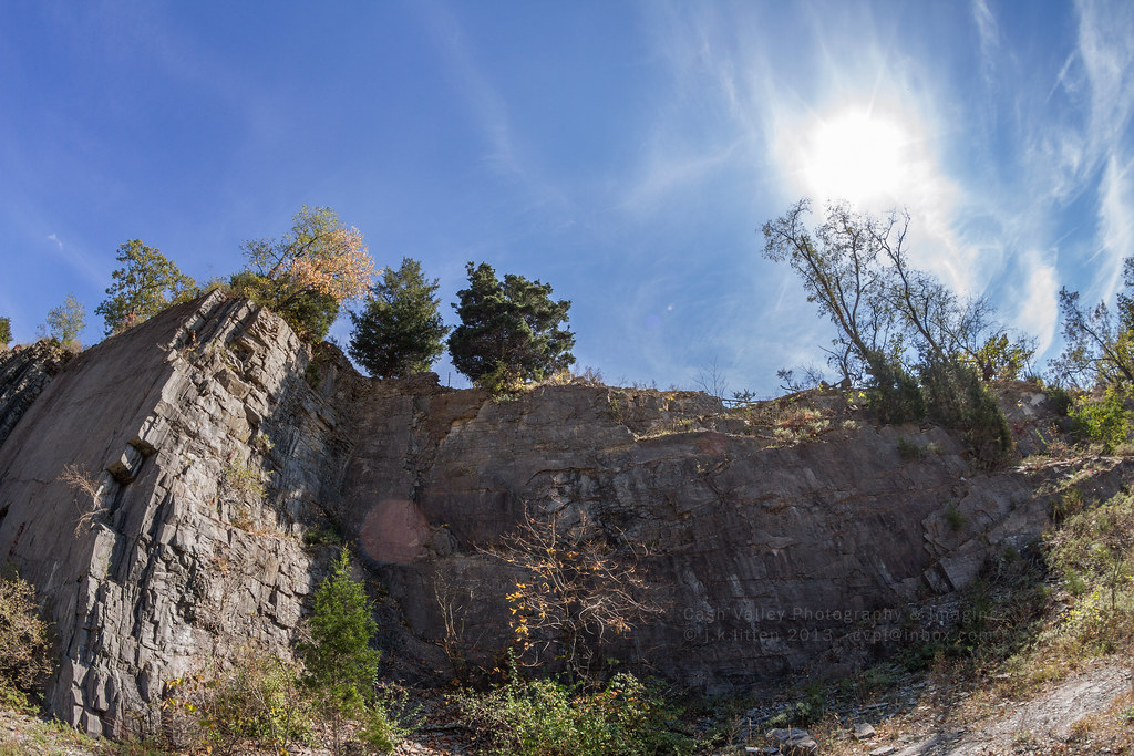
Rock Ledge

North Branch of the Potomac River, below Jennings Randolph Lake.
Topographic Map of Kitzmiller, MD, USA
Find elevation by address:

Places in Kitzmiller, MD, USA:
Places near Kitzmiller, MD, USA:
Railroad Street
Shallmar Rd, Kitzmiller, MD, USA
Elk Garden
13, Kitzmiller
Nethkin Road
Swanton
Altamont Rd, Swanton, MD, USA
Swanton, MD, USA
39 Crestwood Ln
1, Swanton
724 Fort Hill Rd
N Glade Rd, Swanton, MD, USA
299 Deer Run Ln
1585 Pergin Farm Rd
4, Bloomington
Deer Park
5 Speicher St
10, Deer Park
Glendale Road
Glendale Road
Recent Searches:
- Elevation of Leguwa, Nepal
- Elevation of County Rd, Enterprise, AL, USA
- Elevation of Kolchuginsky District, Vladimir Oblast, Russia
- Elevation of Shustino, Vladimir Oblast, Russia
- Elevation of Lampiasi St, Sarasota, FL, USA
- Elevation of Elwyn Dr, Roanoke Rapids, NC, USA
- Elevation of Congressional Dr, Stevensville, MD, USA
- Elevation of Bellview Rd, McLean, VA, USA
- Elevation of Stage Island Rd, Chatham, MA, USA
- Elevation of Shibuya Scramble Crossing, 21 Udagawacho, Shibuya City, Tokyo -, Japan