Elevation of Kirkersville, OH, USA
Location: United States > Ohio > Licking County > Harrison Township >
Longitude: -82.595718
Latitude: 39.9595081
Elevation: 285m / 935feet
Barometric Pressure: 98KPa
Elevation Map:
Satellite Map:
Related Photos:

100 Watts

View from my Cannondale

What a bright morning!
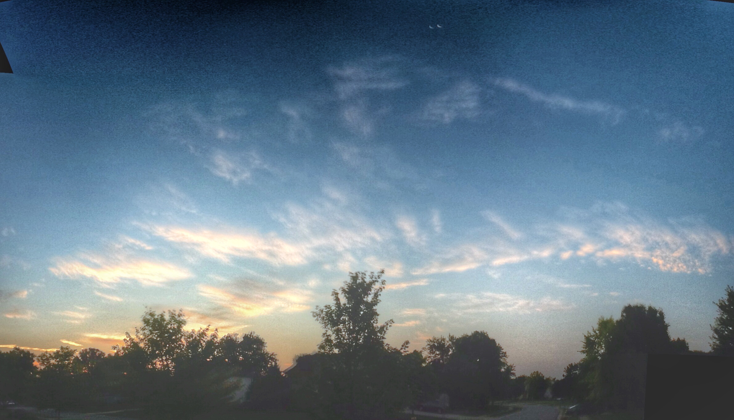
Skies over Ohio

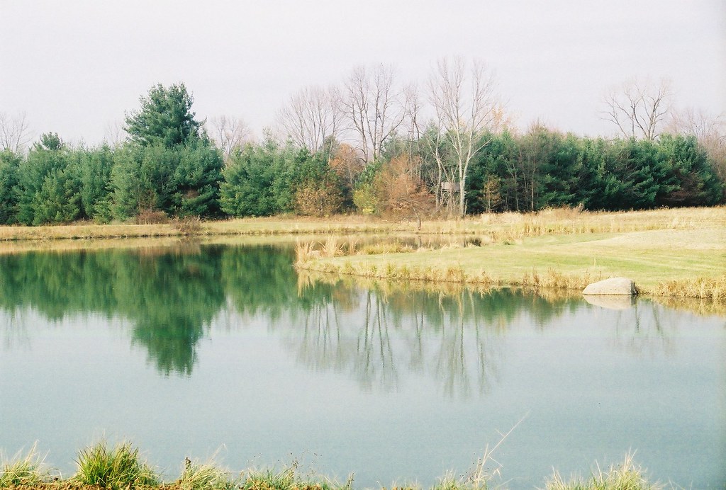
Nature Paints
Hizey Covered Bridge, barrel view, Fairfield County, Ohio

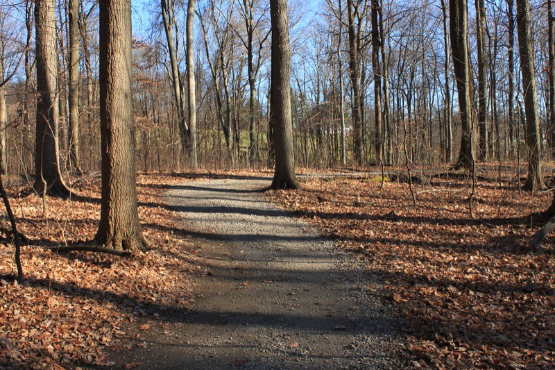
This Way

Son of Liberty

Japanese Garden at Dawes Arboretum
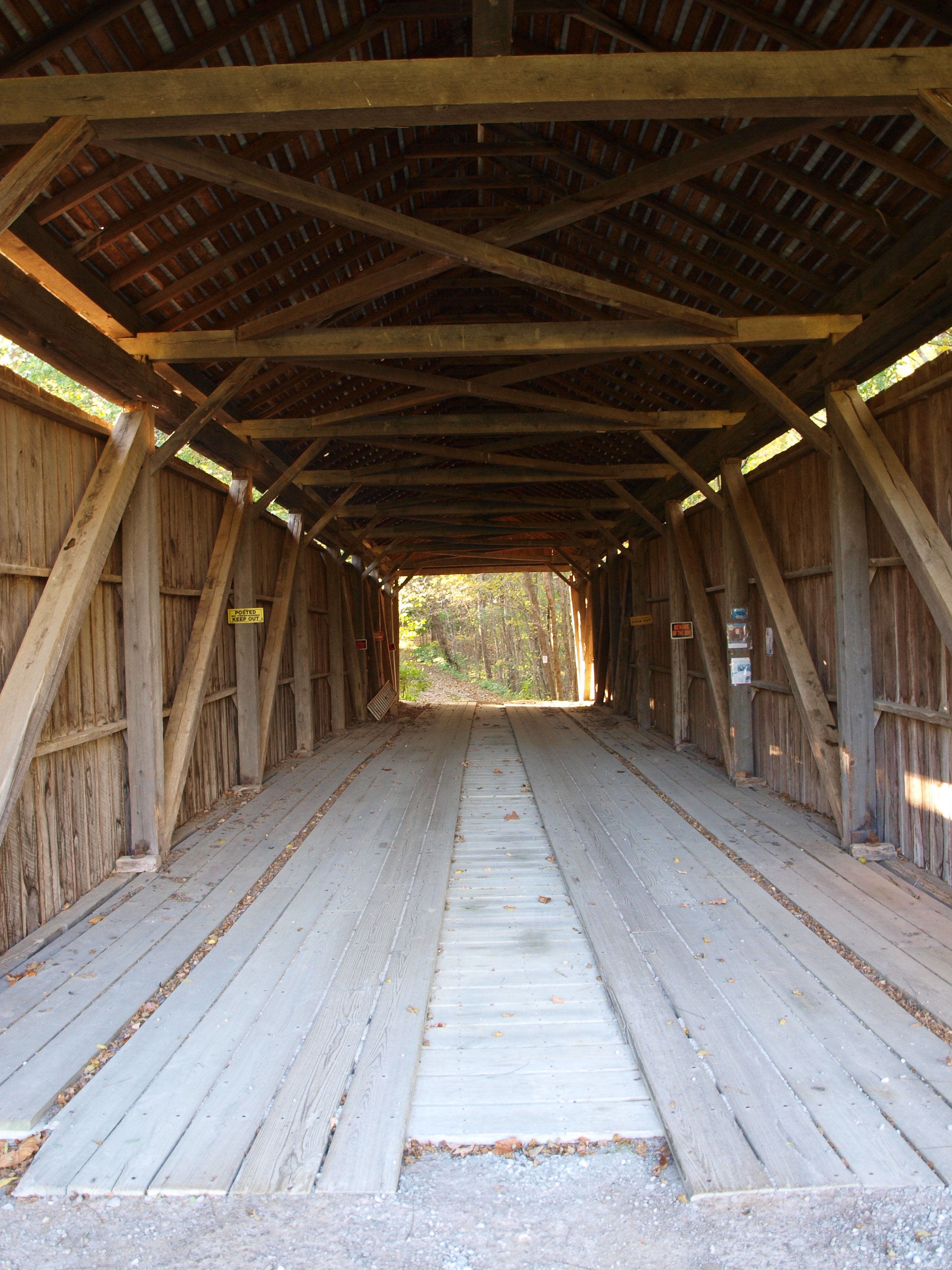
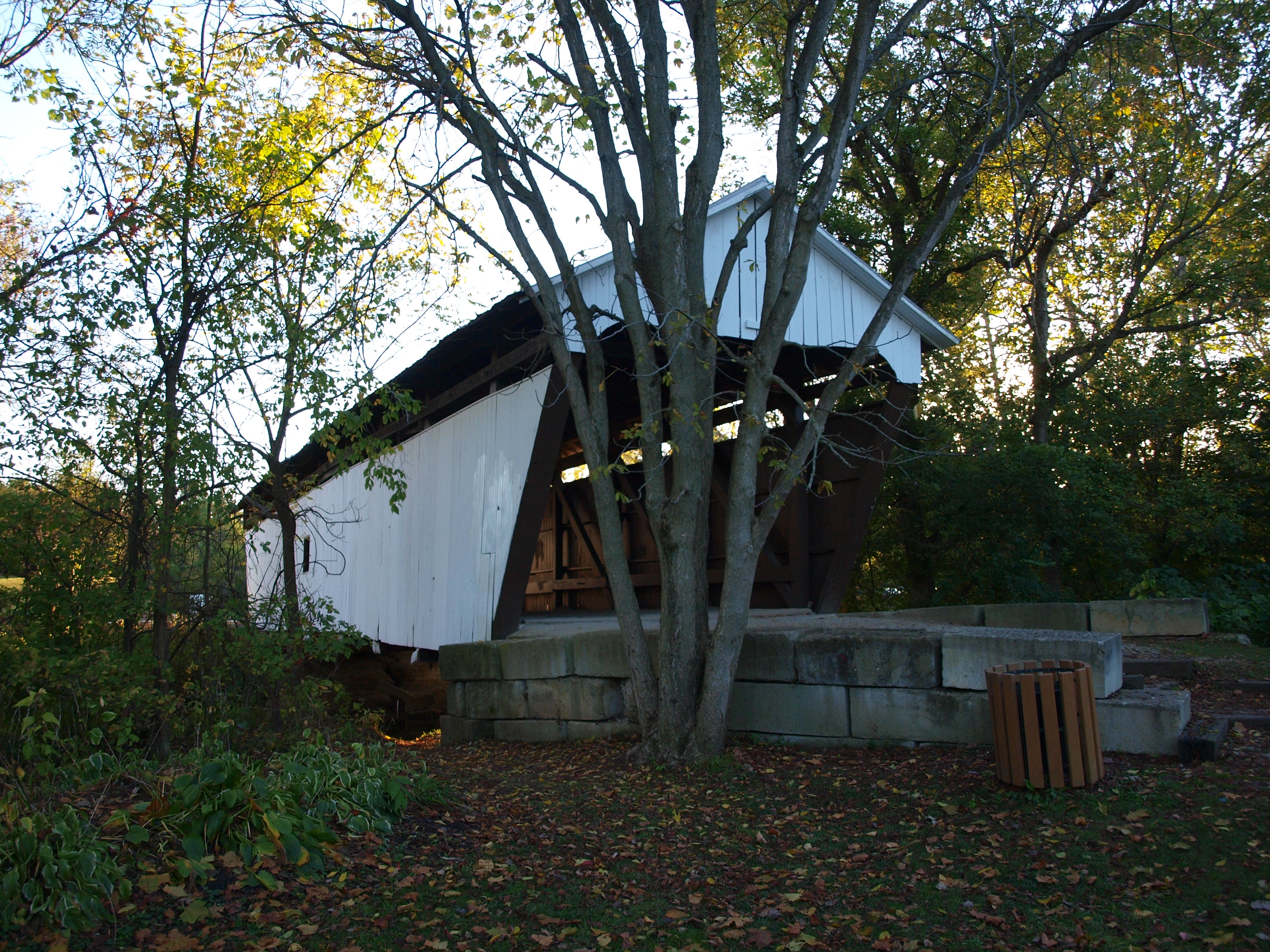
McLain Covered Bridge, barrel view, Licking County, Ohio

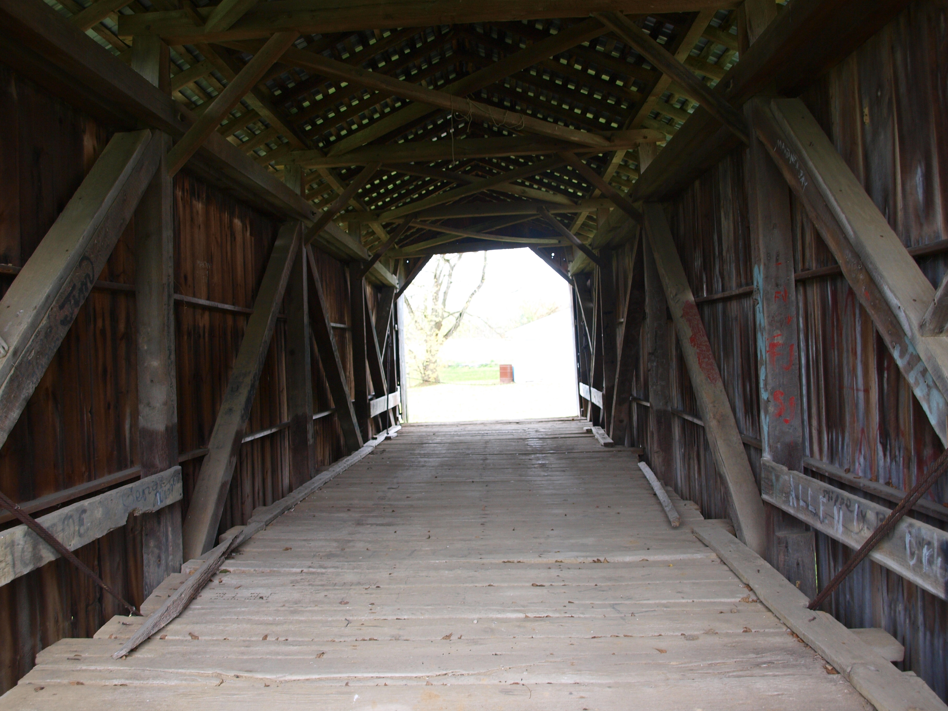
McLain Covered Bridge, truss view, Licking County, Ohio

Japanese Garden at Dawes Arboretum
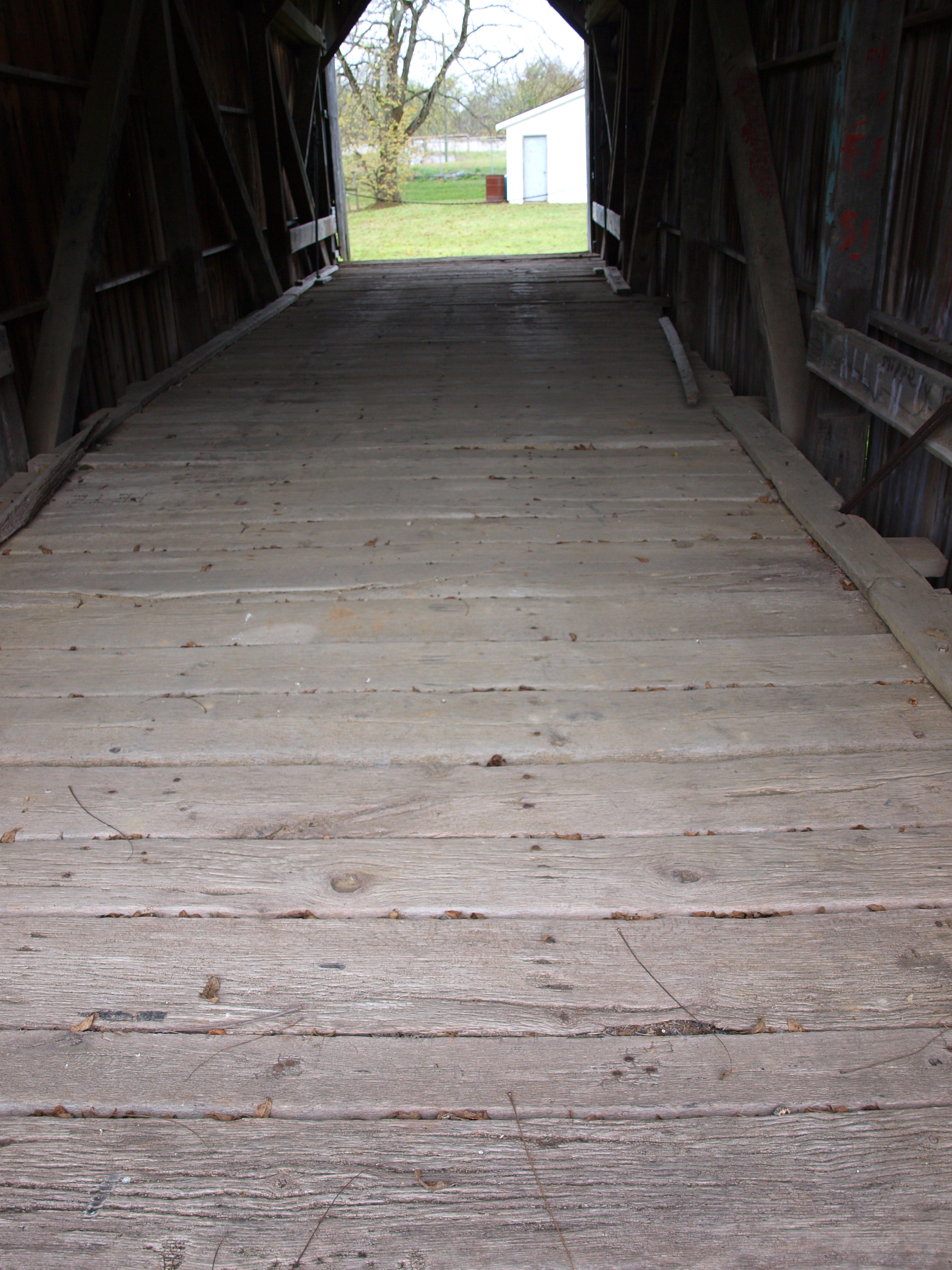
McLain Covered Bridge, floor view, Licking County, Ohio

american kestrel
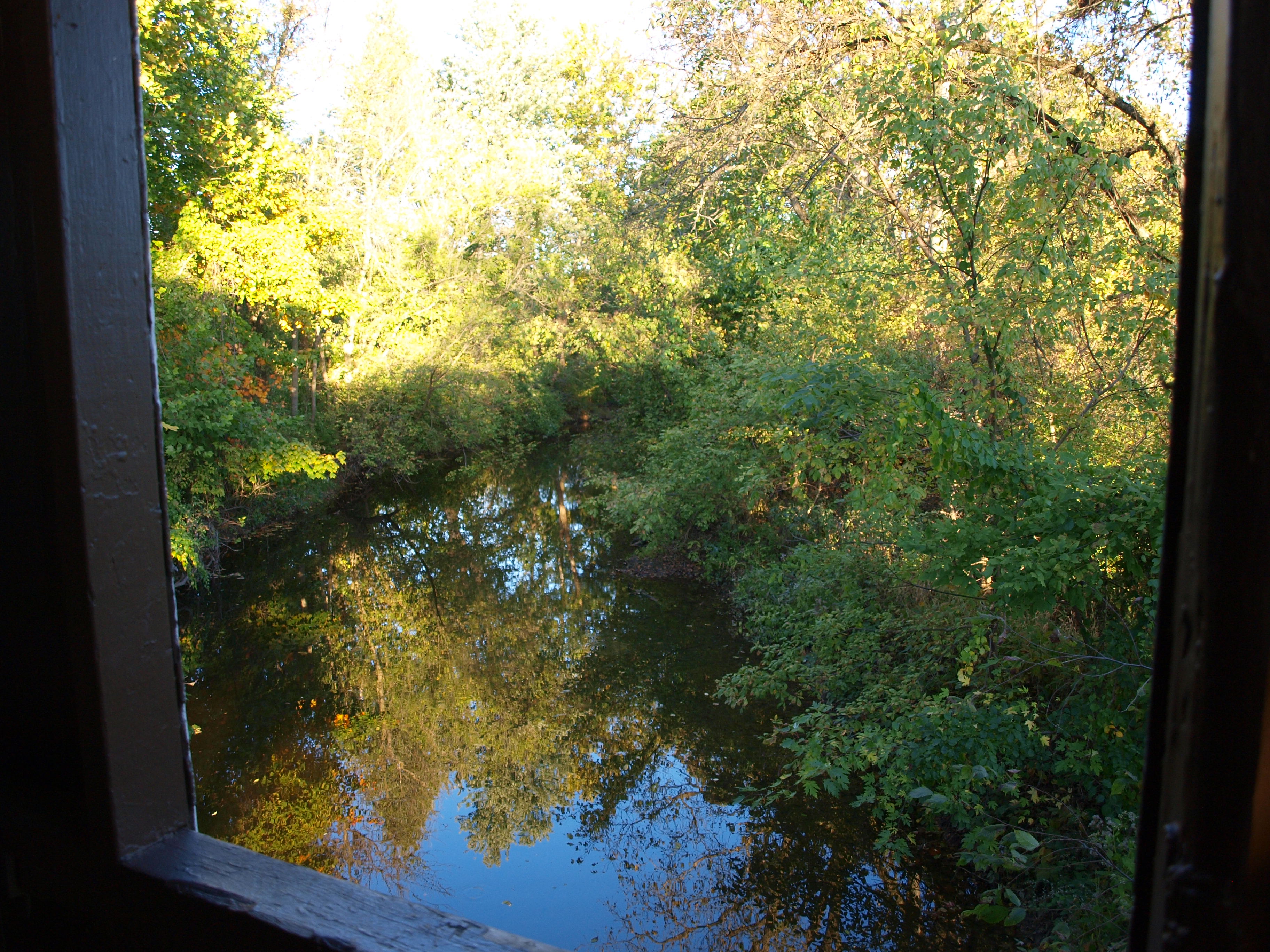
Zeller-Smith Covered Bridge, creek view from window, Fairfield County, Ohio

village coffee company
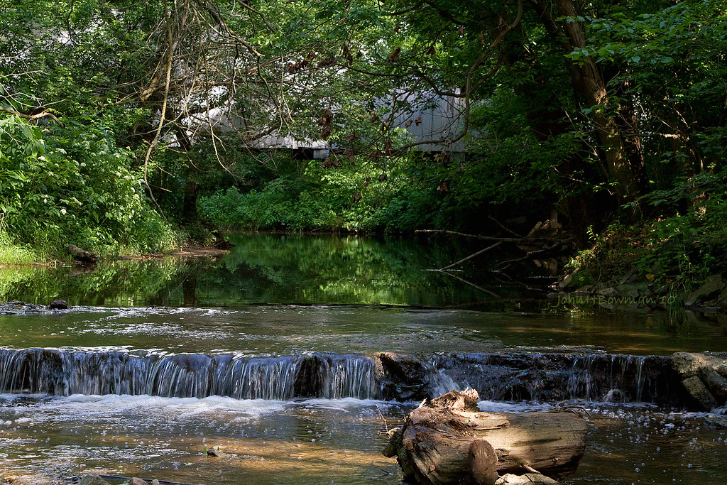
Sycamore Creek & Zeller-Smith Covered Bridge

The Hedges
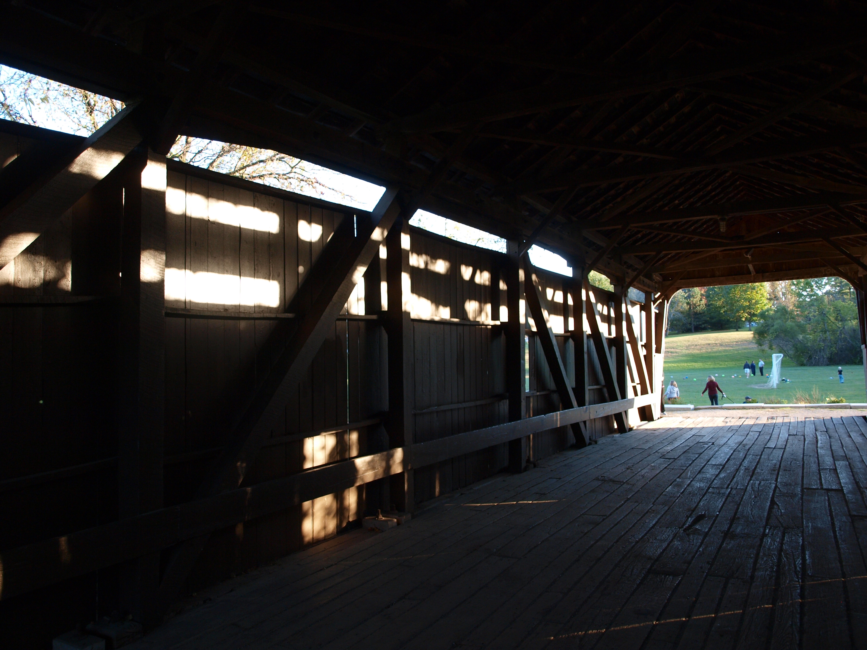
Zeller-Smith Covered Bridge, truss view, Fairfield County, Ohio
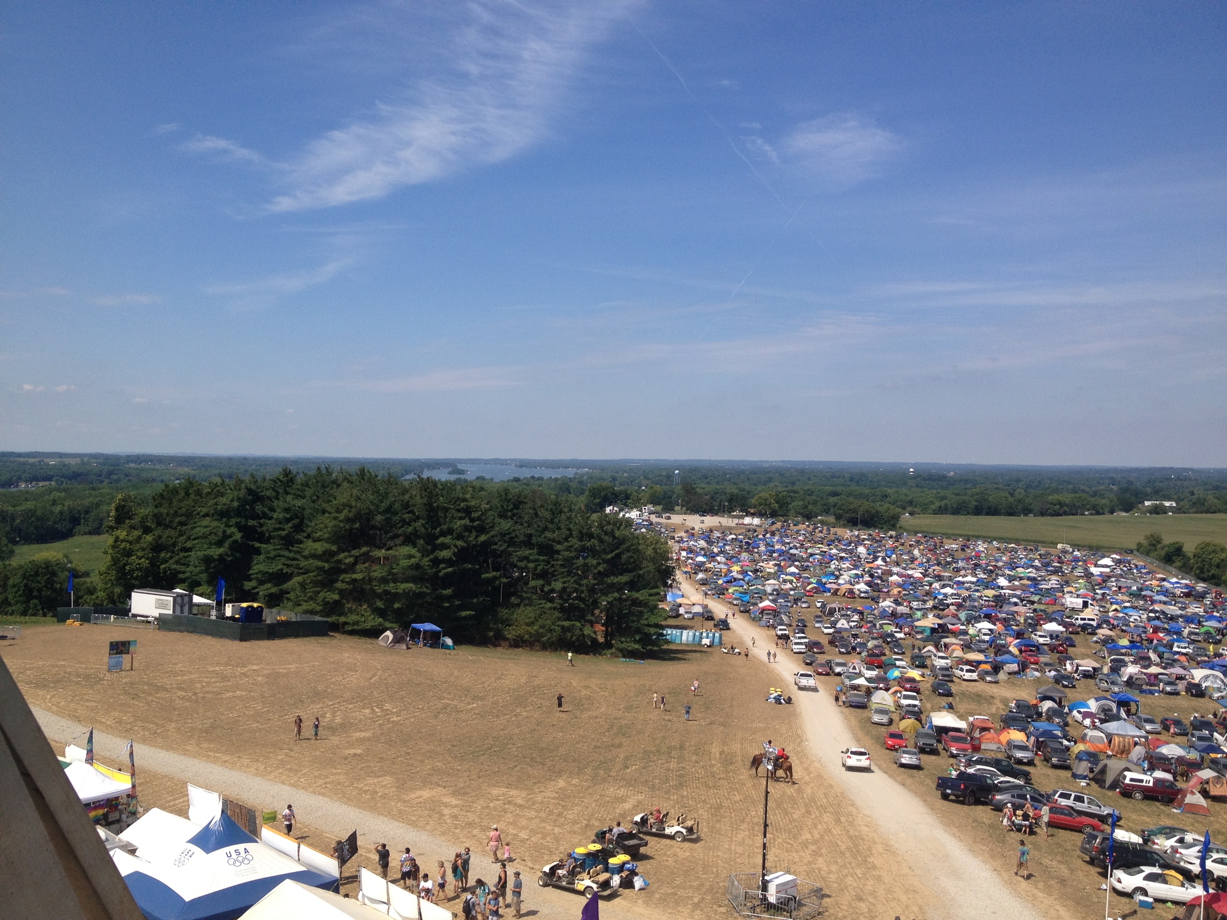
All Good Music Festival
Zeller-Smith Covered Bridge, side view, Fairfield County, Ohio

A Dream From July...

Tree in Field
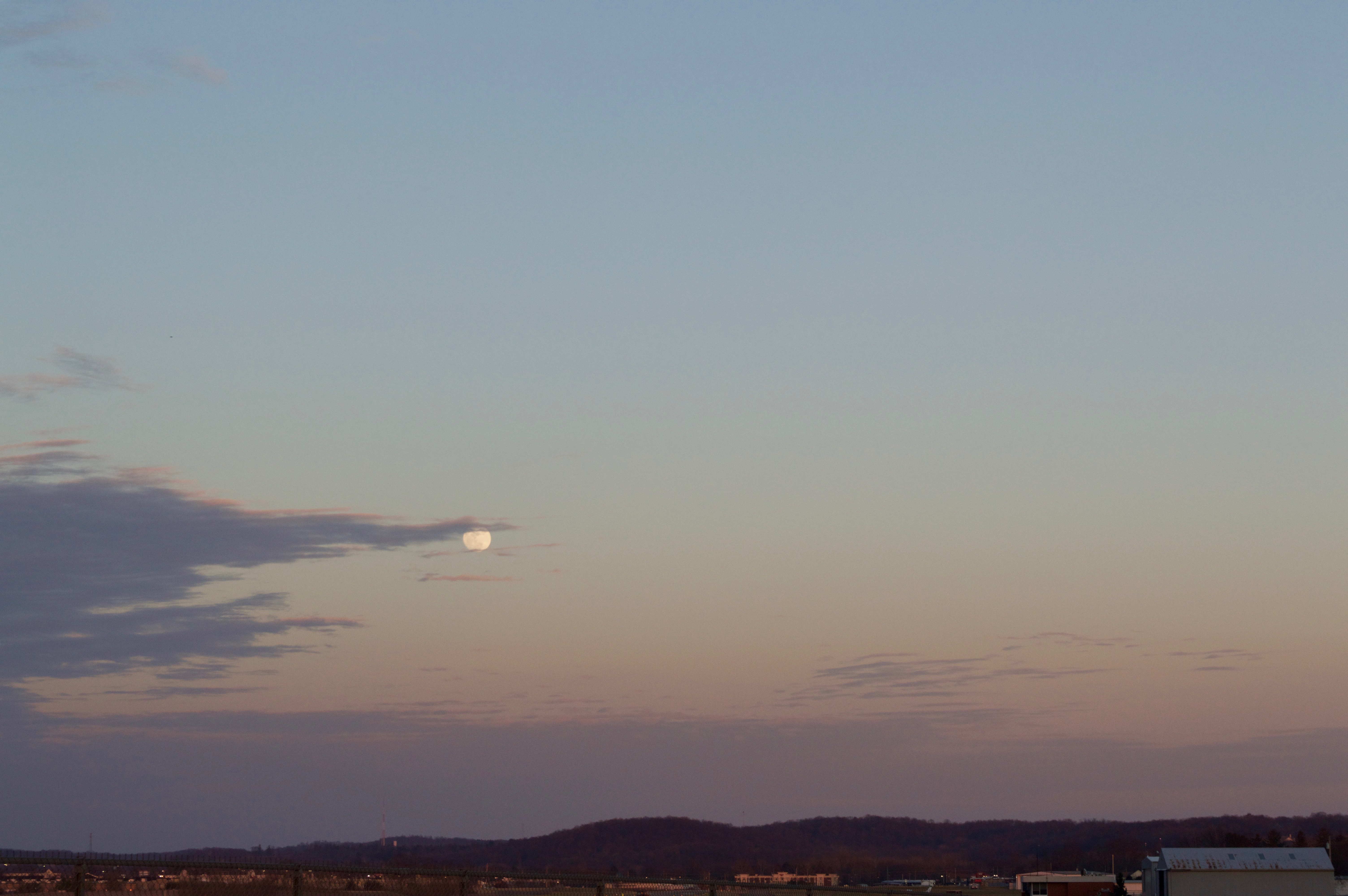
Moon over Heath, Ohio

Sunset on Courter Rd, Pataskala, OH.
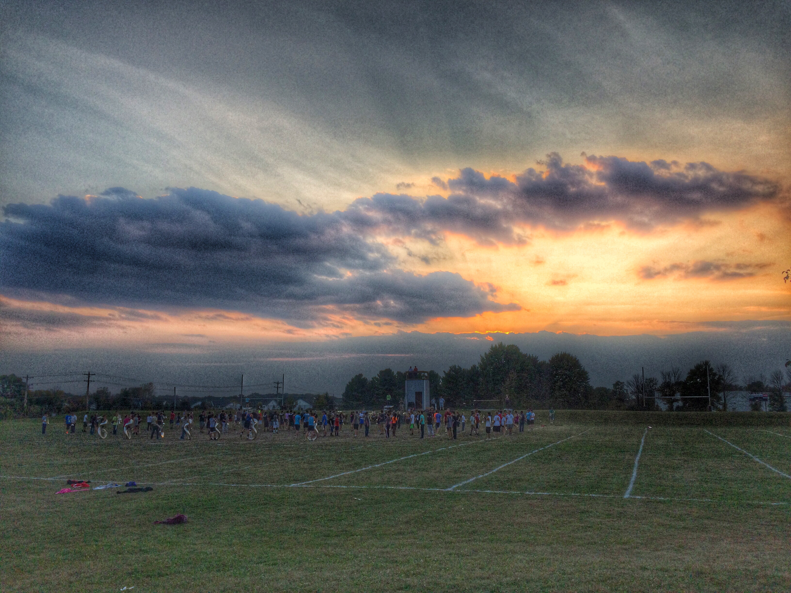
One evening at band practice

Abandoned house near Foundation Park

THE_BIG_LEBOWSKI_Title_01_01_Chapter_20_00001.jpg
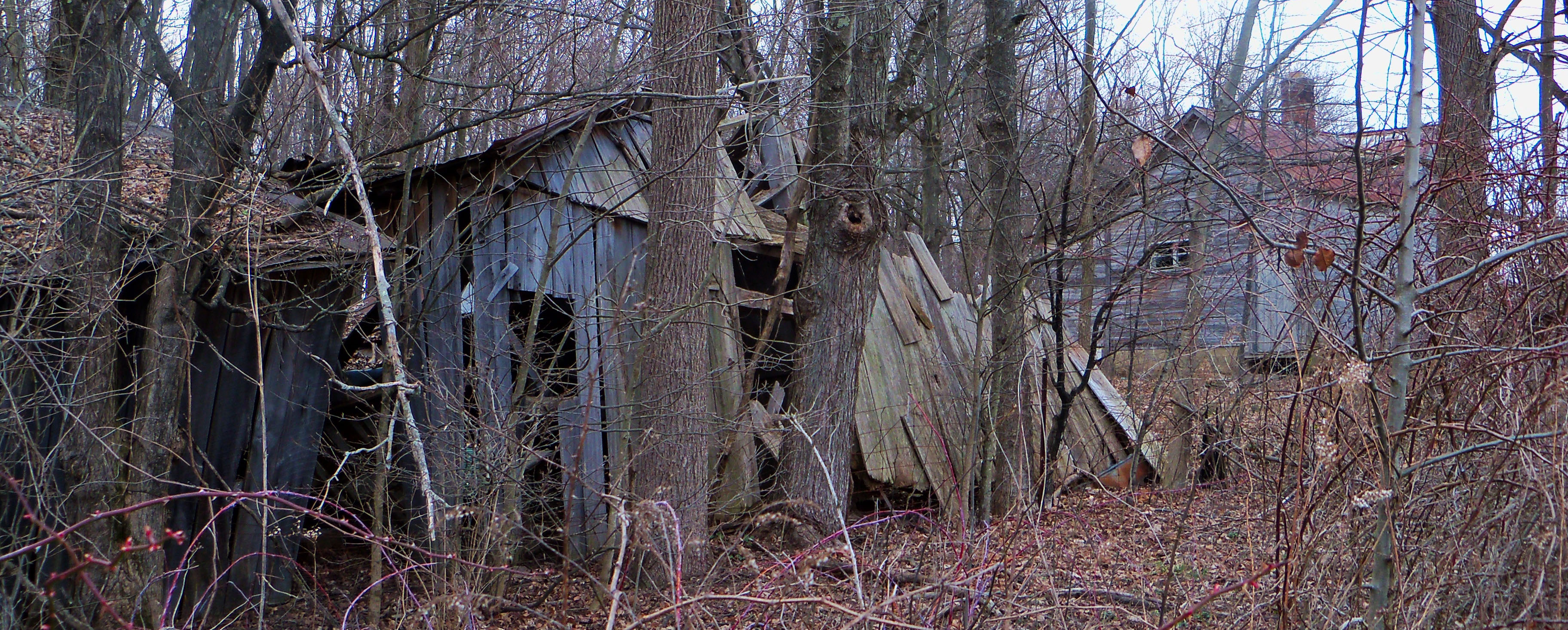
Abandoned farmhouse.

Beautiful sunrise
My Parent's House

smoke 2

Lazy Summer Day

swtch grass

Sunflower Sunset

Dawes Arboretum_074_11-12-2011
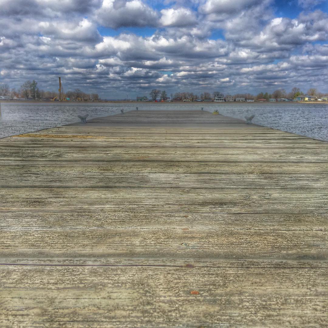
The Dock @ Buckeye Lake State Park. Oldest state park in Ohio! #sky #beautiful #nature #beach #pretty #clouds #water #amazing #light #day #sunshine #lake #colorful #cold #cloudporn #island #springbreak #cloudy #landscape_lovers #Ohio #Eav #EAvIG #buckeye

DSC00320.jpg
Dawes Arboretum_123_11-06-2011
Dawes Arboretum_162_11-06-2011
IMG_6604.JPG
IMG_6602.JPG
Topographic Map of Kirkersville, OH, USA
Find elevation by address:

Places in Kirkersville, OH, USA:
Places near Kirkersville, OH, USA:
W Main St, Alexandria, OH, USA
Outville Rd SW, Pataskala, OH, USA
6255 Outville Rd Sw
Harrison Township
National Trail Raceway
Union Township
59 Squire Ln, Hebron, OH, USA
Lakeside Rd, Millersport, OH, USA
3360 Lakeside Rd
3636 Columbus Rd
Hebron
W Main St, Hebron, OH, USA
2220 Forest Ridge
2464 Lancaster Rd
248 Thornewood Drive
East St, Buckeye Lake, OH, USA
96 Briarwood Dr
United Church Of Granville
987 Northbrook Ct
Granville
Recent Searches:
- Elevation of Tenjo, Cundinamarca, Colombia
- Elevation of Côte-des-Neiges, Montreal, QC H4A 3J6, Canada
- Elevation of Bobcat Dr, Helena, MT, USA
- Elevation of Zu den Ihlowbergen, Althüttendorf, Germany
- Elevation of Badaber, Peshawar, Khyber Pakhtunkhwa, Pakistan
- Elevation of SE Heron Loop, Lincoln City, OR, USA
- Elevation of Slanický ostrov, 01 Námestovo, Slovakia
- Elevation of Spaceport America, Co Rd A, Truth or Consequences, NM, USA
- Elevation of Warwick, RI, USA
- Elevation of Fern Rd, Whitmore, CA, USA