Elevation of Kingsclear, NB, Canada
Location: Canada > New Brunswick > York County >
Longitude: -66.8526716
Latitude: 45.8618132
Elevation: 115m / 377feet
Barometric Pressure: 0KPa
Related Photos:

Going Down
"generator"

Auto Graveyard

Saint John River, NB - HDR

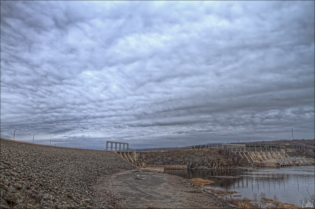
View From Mactaquac Dam
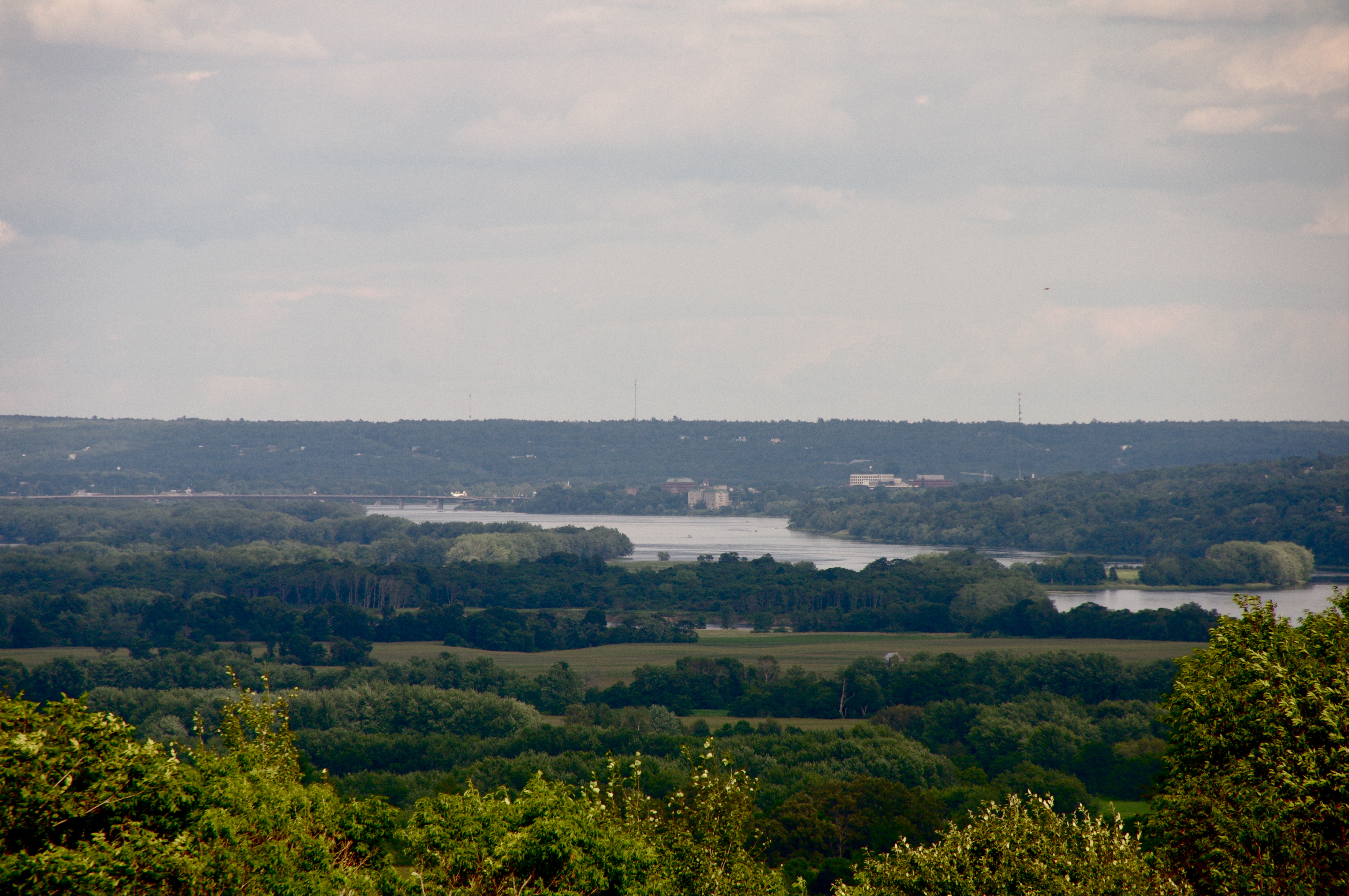
The View I Grew Up With
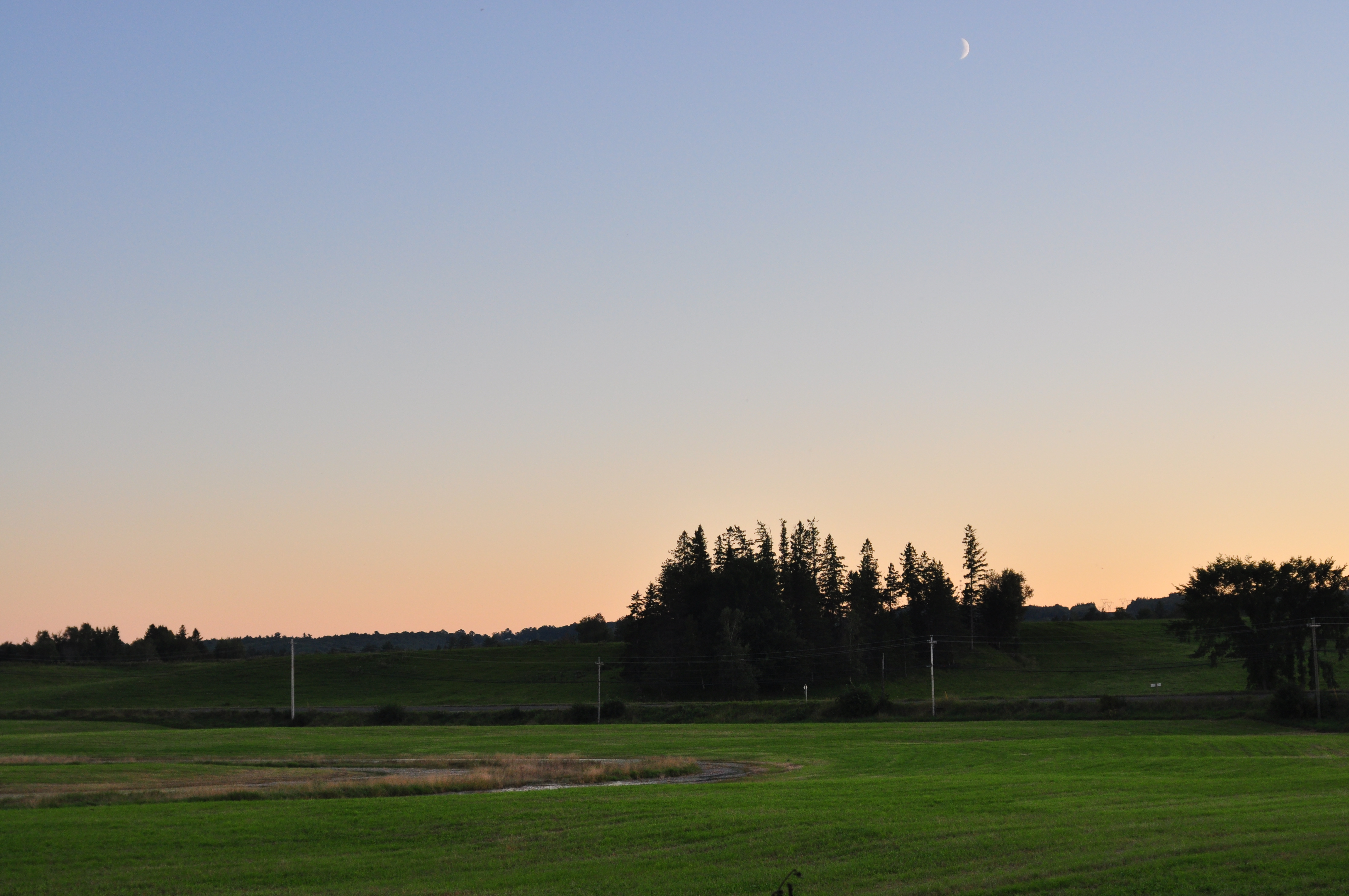
Farm field
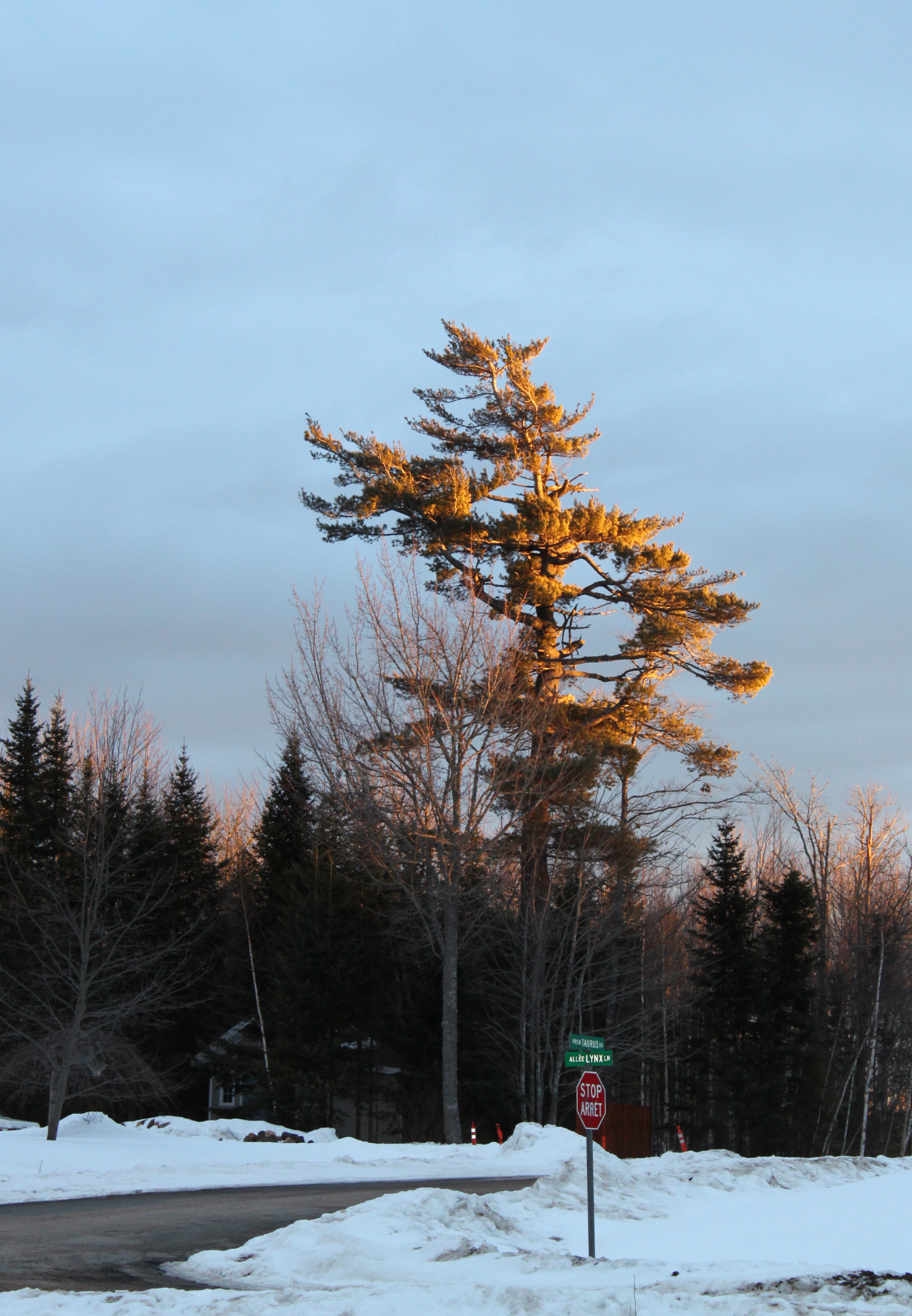
Pine Tree Glowing in Sunrise
Topographic Map of Kingsclear, NB, Canada
Find elevation by address:

Places in Kingsclear, NB, Canada:
Mazerolle Settlement
Hanwell
8 Idlewood Dr
8 Idlewood Dr
Jerry Chessie Rd, Kingsclear, NB E6K 3B4, Canada
Upper Kingsclear
Smithfield
142 Old Mill Rd
Islandview Veterinary Hospital
41 Laddie St
15 Williams St
Places near Kingsclear, NB, Canada:
Mazerolle Settlement
41 Laddie St
Mazerolle Settlement Rd, Mazerolle Settlement, NB E3E 1X8, Canada
15 Williams St
34 Christopher Crescent
Upper Kingsclear
16 Headway Dr
Jerry Chessie Rd, Kingsclear, NB E6K 3B4, Canada
2416 Nb-105
9 Grand View Ln, Mactaquac, NB E6L 1T6, Canada
51 Blue Heron Dr
Smithfield
Mactaquac
2108 Nb-640
Hanwell
Islandview Veterinary Hospital
142 Old Mill Rd
8 Idlewood Dr
8 Idlewood Dr
Lower Queensbury
Recent Searches:
- Elevation map of Greenland, Greenland
- Elevation of Sullivan Hill, New York, New York, 10002, USA
- Elevation of Morehead Road, Withrow Downs, Charlotte, Mecklenburg County, North Carolina, 28262, USA
- Elevation of 2800, Morehead Road, Withrow Downs, Charlotte, Mecklenburg County, North Carolina, 28262, USA
- Elevation of Yangbi Yi Autonomous County, Yunnan, China
- Elevation of Pingpo, Yangbi Yi Autonomous County, Yunnan, China
- Elevation of Mount Malong, Pingpo, Yangbi Yi Autonomous County, Yunnan, China
- Elevation map of Yongping County, Yunnan, China
- Elevation of North 8th Street, Palatka, Putnam County, Florida, 32177, USA
- Elevation of 107, Big Apple Road, East Palatka, Putnam County, Florida, 32131, USA
- Elevation of Jiezi, Chongzhou City, Sichuan, China
- Elevation of Chongzhou City, Sichuan, China
- Elevation of Huaiyuan, Chongzhou City, Sichuan, China
- Elevation of Qingxia, Chengdu, Sichuan, China
- Elevation of Corso Fratelli Cairoli, 35, Macerata MC, Italy
- Elevation of Tallevast Rd, Sarasota, FL, USA
- Elevation of 4th St E, Sonoma, CA, USA
- Elevation of Black Hollow Rd, Pennsdale, PA, USA
- Elevation of Oakland Ave, Williamsport, PA, USA
- Elevation of Pedrógão Grande, Portugal