Elevation of Smithfield, NB E6K 2S8, Canada
Location: Canada > New Brunswick > York County > Kingsclear >
Longitude: -66.912899
Latitude: 45.791485
Elevation: 144m / 472feet
Barometric Pressure: 100KPa
Elevation Map:
Satellite Map:
Related Photos:

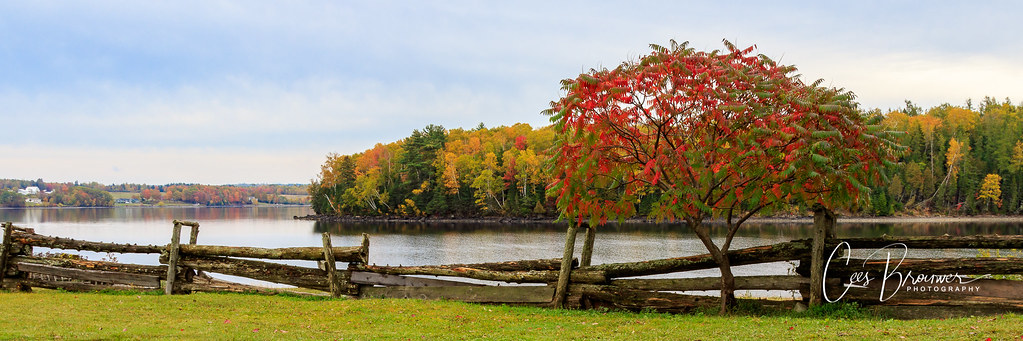
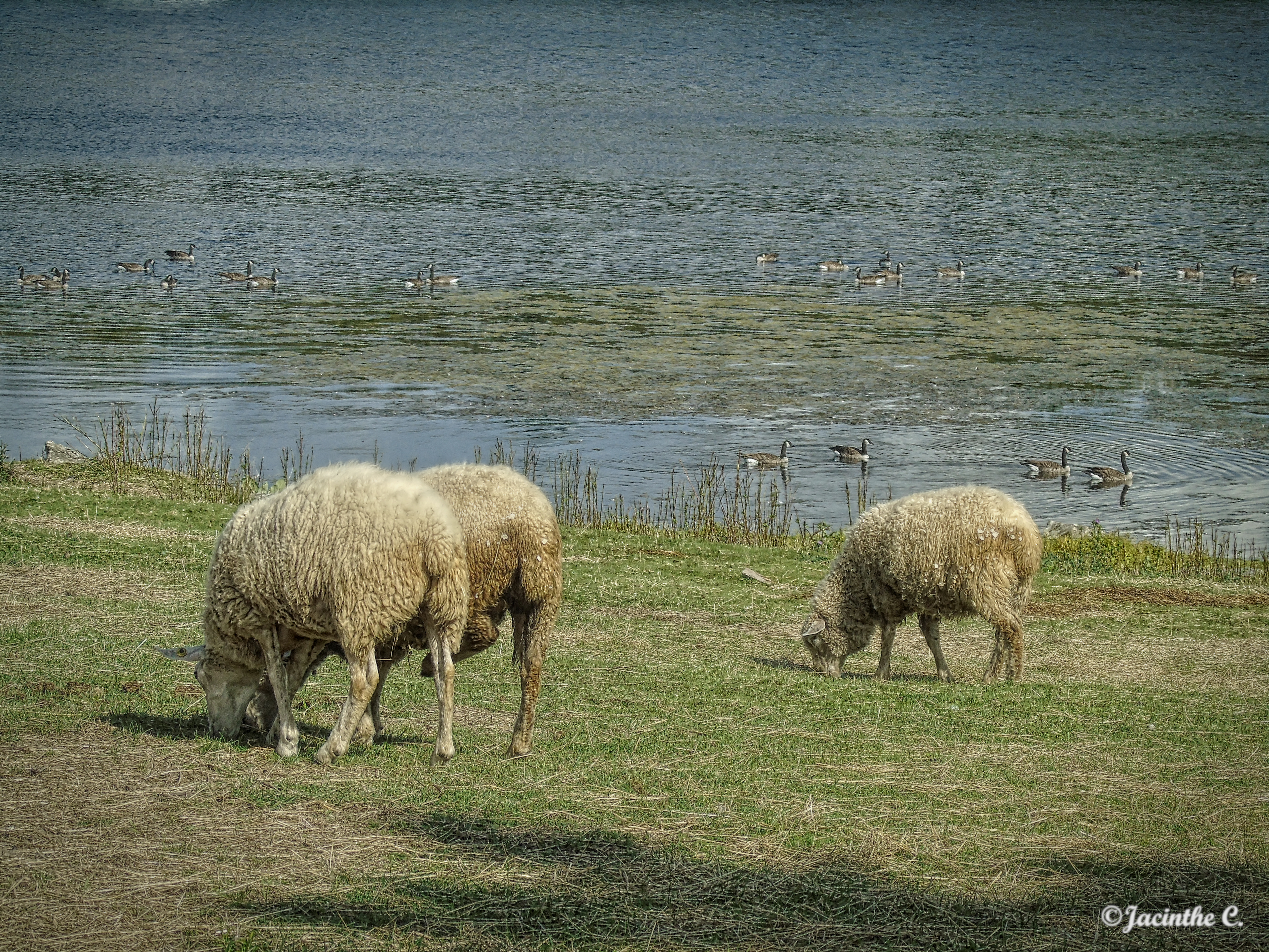
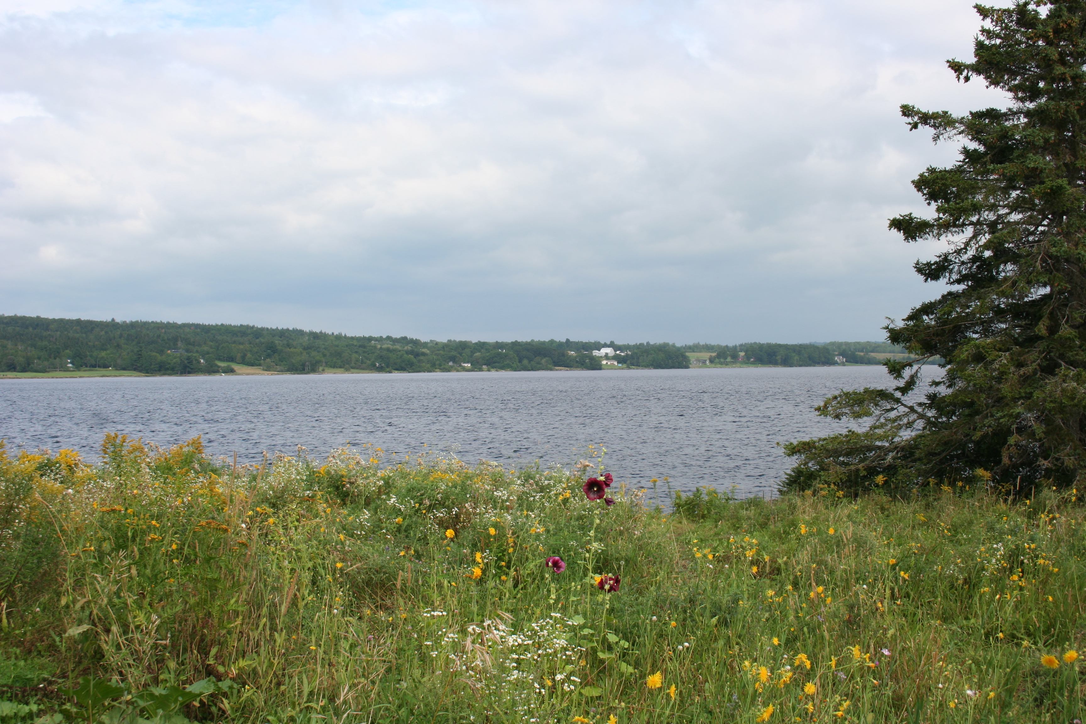
View from Boat

View from the Kayak
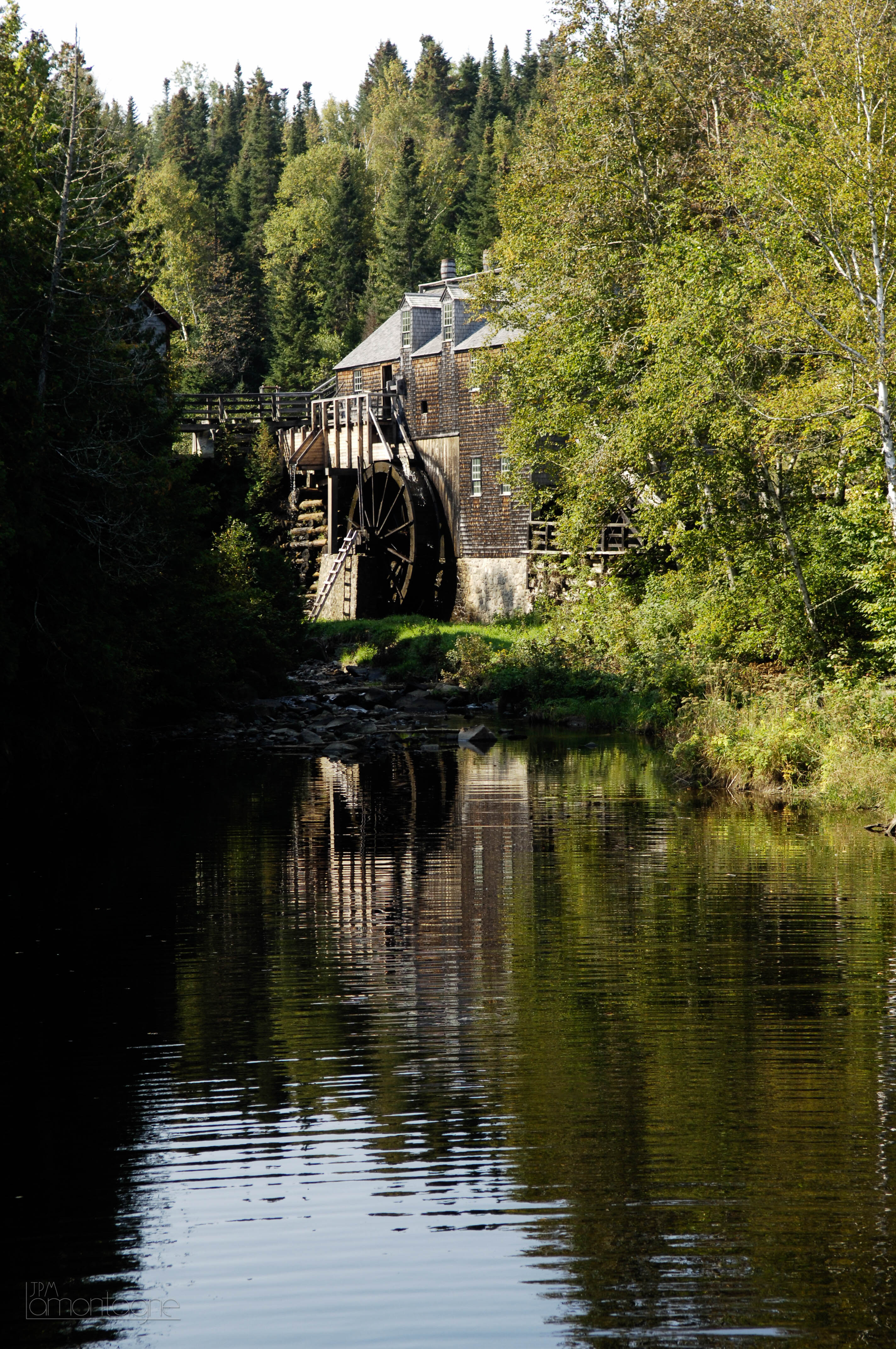
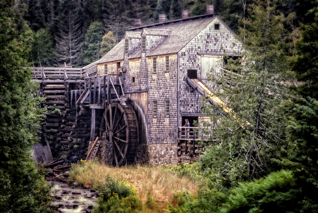
Kings Landing 03
Kings Landing - Reconstitution de village Loyaliste.
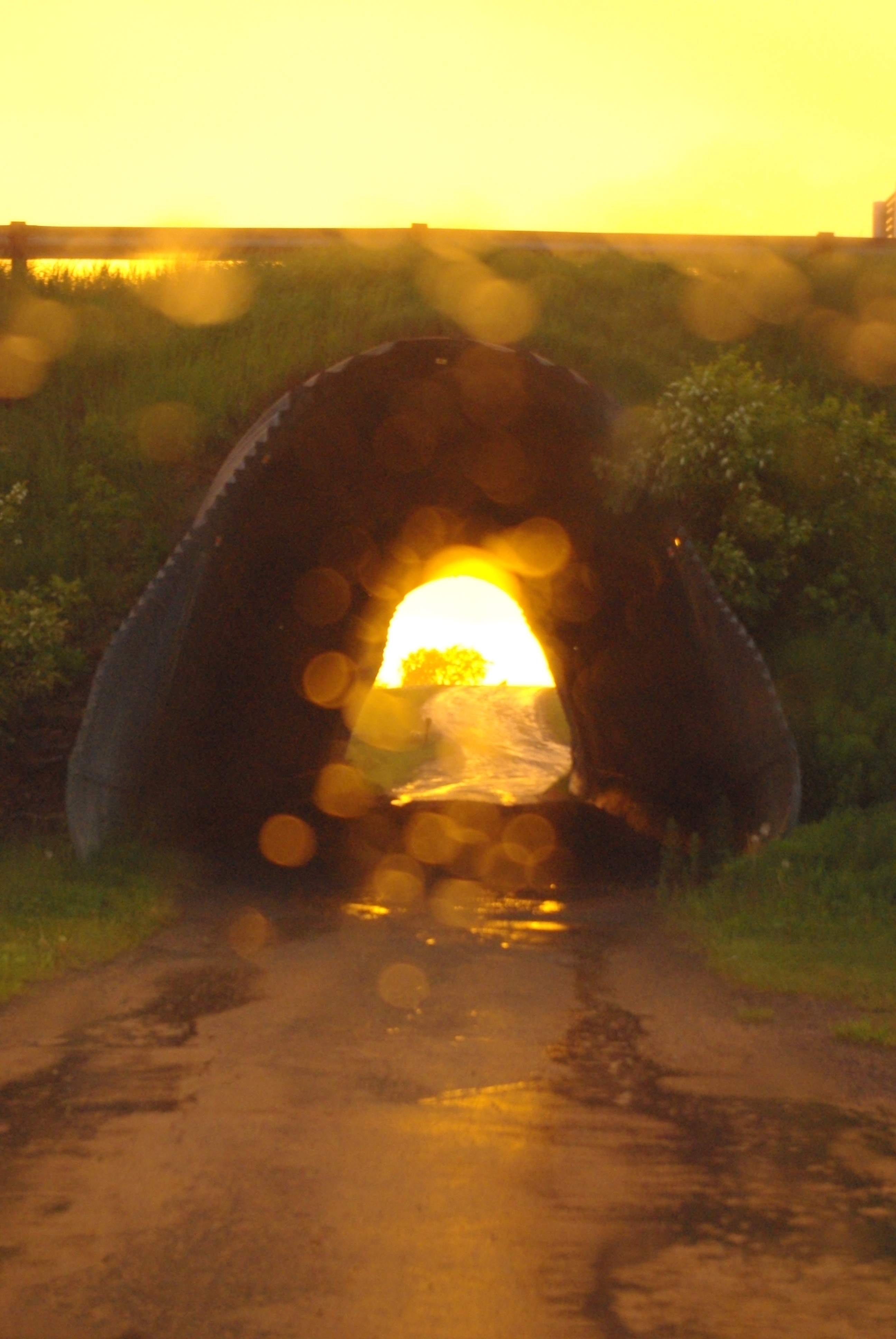
Oblique Sun and Rain

Sunset in New Brunswick
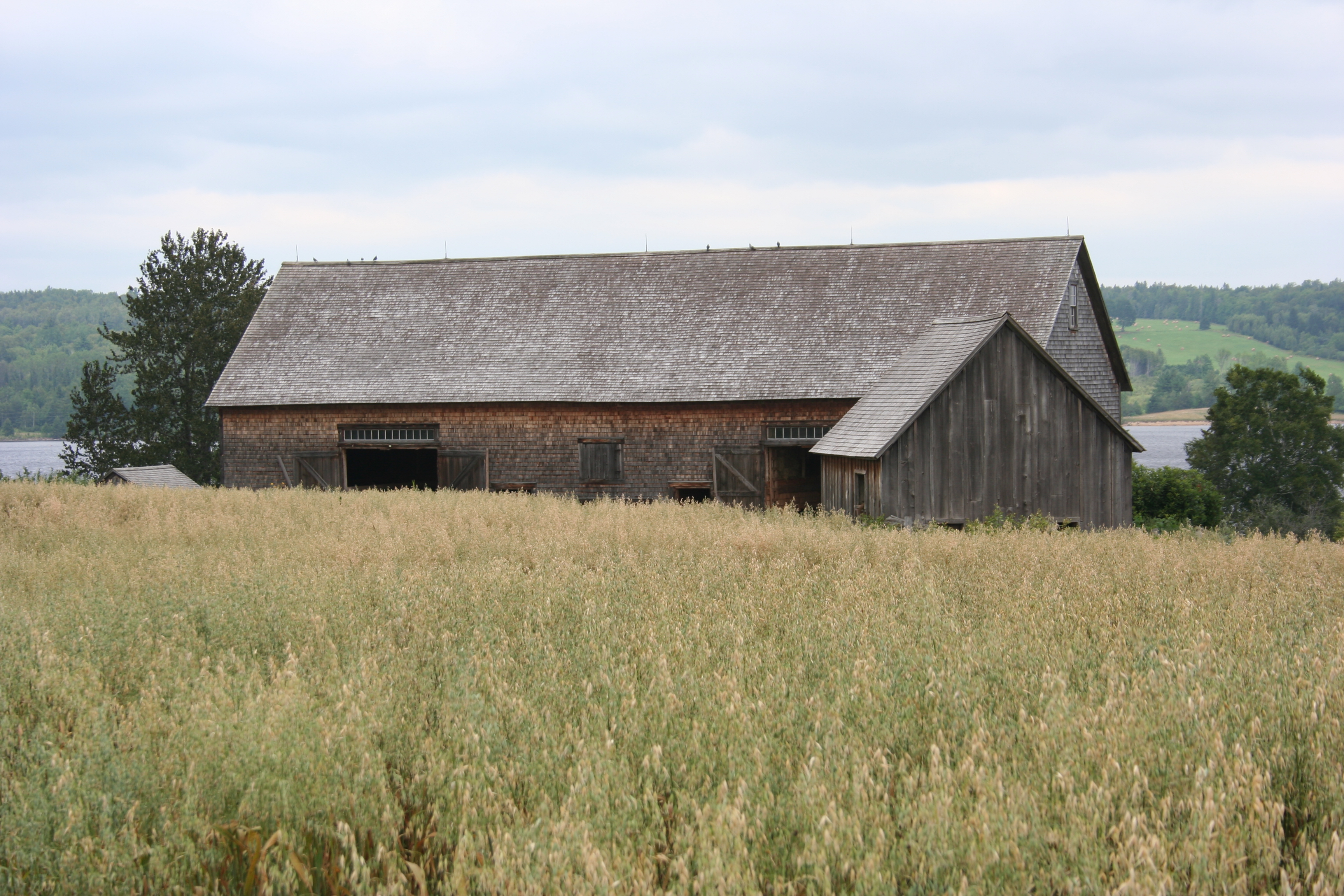
Joslin Farm
Lunch time
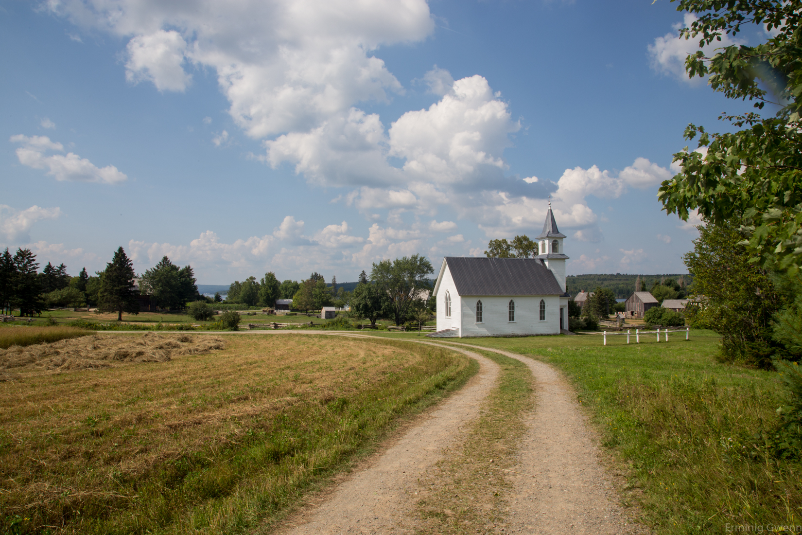
Kings Landing NB
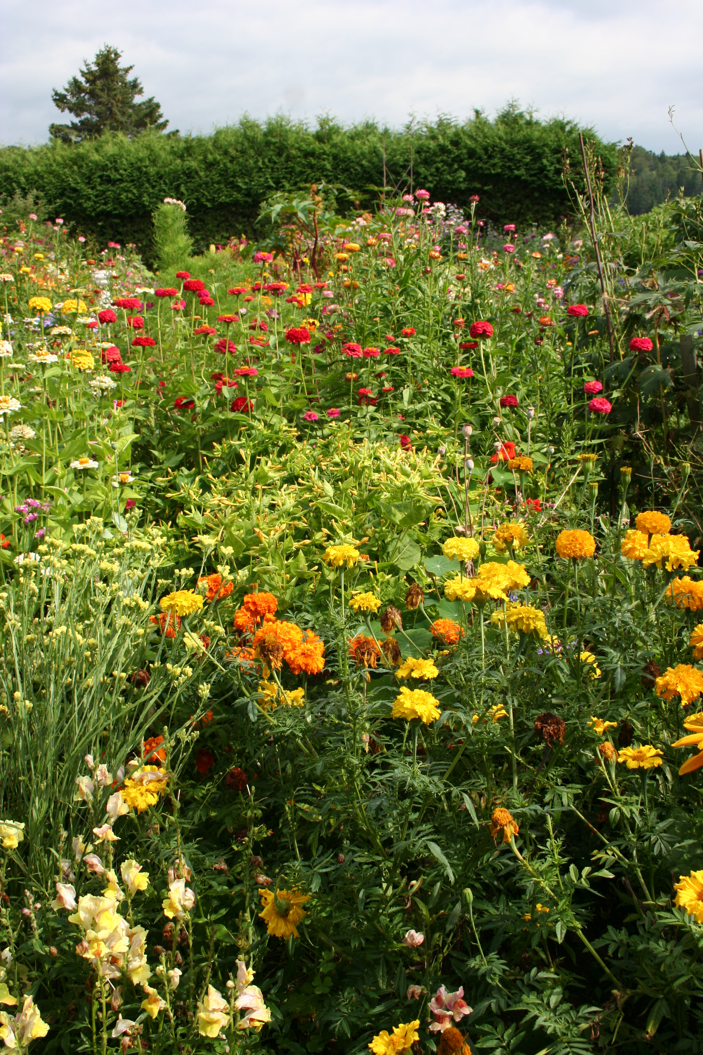
Ingraham Garden
Courser Cove
Courser Cove

Sunset - New Brunswick
Kings Landing 08a11

Sunset New Brunswick
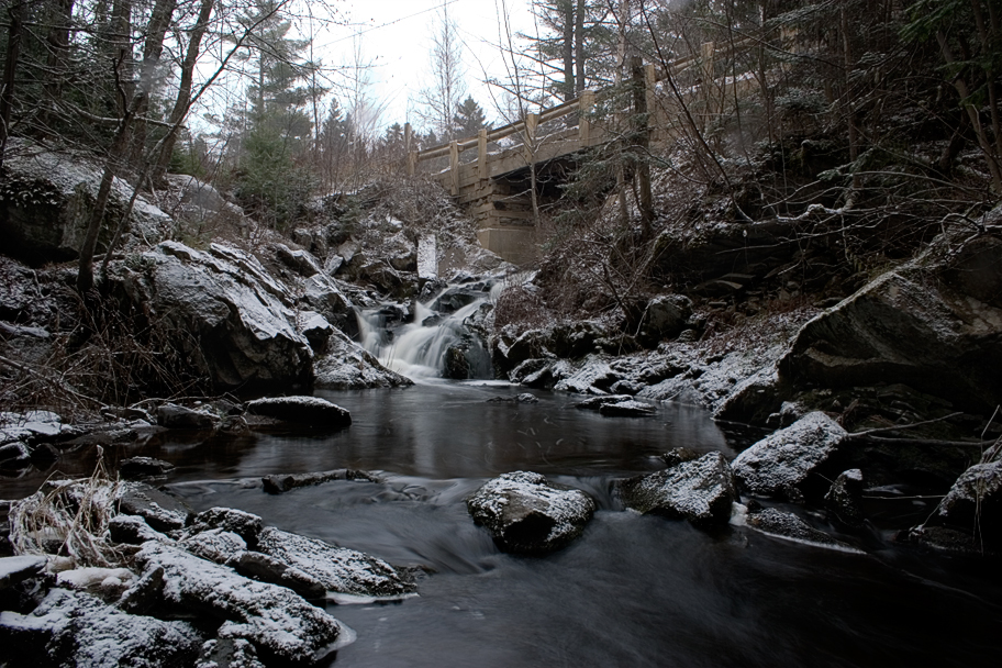
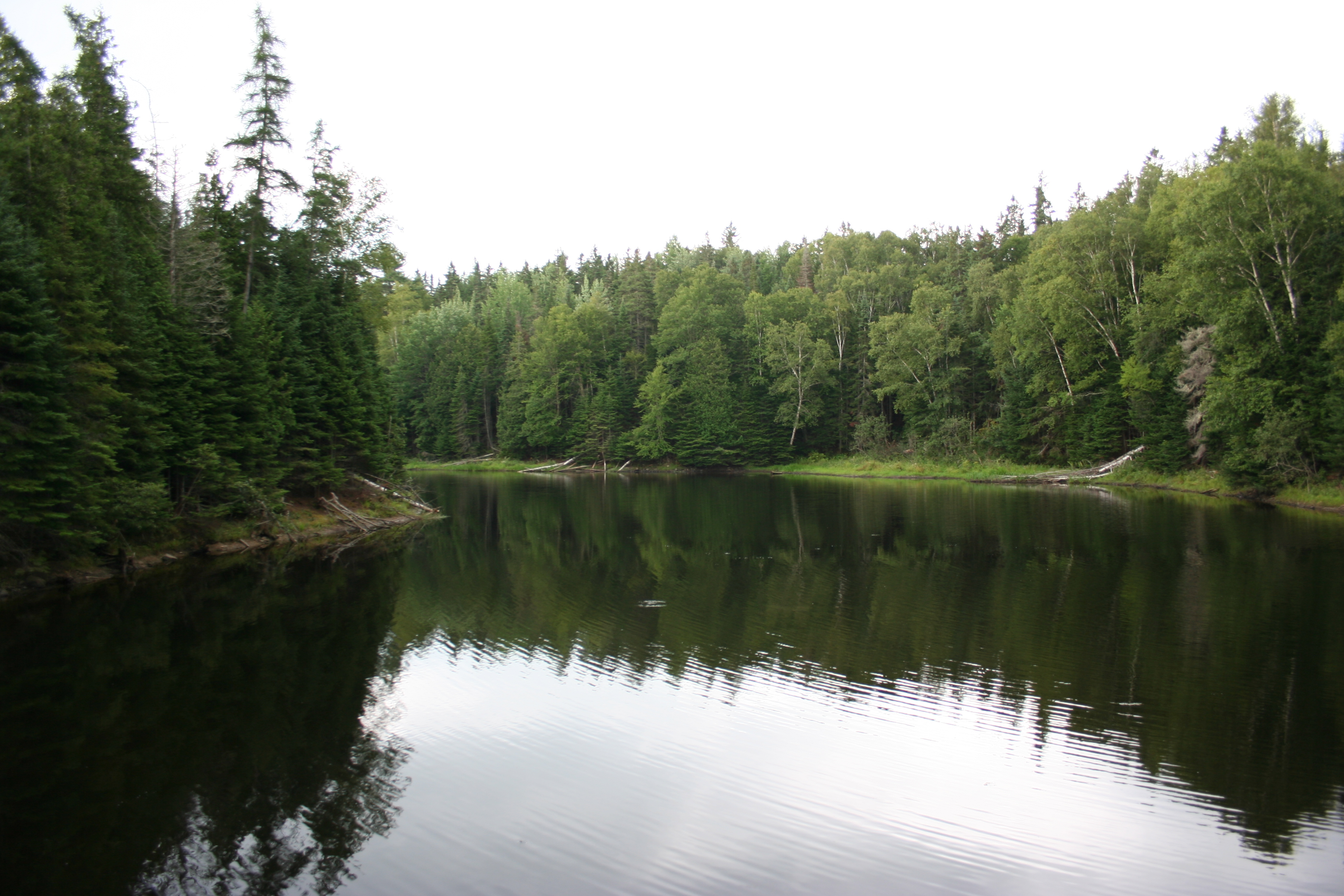
Water Fall 2
Topographic Map of Smithfield, NB E6K 2S8, Canada
Find elevation by address:

Places near Smithfield, NB E6K 2S8, Canada:
Jerry Chessie Rd, Kingsclear, NB E6K 3B4, Canada
16 Headway Dr
34 Christopher Crescent
15 Williams St
Kingsclear
2416 Nb-105
Upper Kingsclear
41 Laddie St
Mazerolle Settlement
E6k 1a4
Lower Queensbury
Harvey
Mazerolle Settlement Rd, Mazerolle Settlement, NB E3E 1X8, Canada
9 Grand View Ln, Mactaquac, NB E6L 1T6, Canada
Mactaquac
51 Blue Heron Dr
Hanwell
2108 Nb-640
Islandview Veterinary Hospital
142 Old Mill Rd
Recent Searches:
- Elevation of Rojo Ct, Atascadero, CA, USA
- Elevation of Flagstaff Drive, Flagstaff Dr, North Carolina, USA
- Elevation of Avery Ln, Lakeland, FL, USA
- Elevation of Woolwine, VA, USA
- Elevation of Lumagwas Diversified Farmers Multi-Purpose Cooperative, Lumagwas, Adtuyon, RV32+MH7, Pangantucan, Bukidnon, Philippines
- Elevation of Homestead Ridge, New Braunfels, TX, USA
- Elevation of Orchard Road, Orchard Rd, Marlborough, NY, USA
- Elevation of 12 Hutchinson Woods Dr, Fletcher, NC, USA
- Elevation of Holloway Ave, San Francisco, CA, USA
- Elevation of Norfolk, NY, USA