Elevation of Kings Corner, Kings Ln, Keyham, Leicester LE7 9JP, UK
Location: United Kingdom > Leicestershire > Keyham >
Longitude: -1.0084586
Latitude: 52.6524575
Elevation: 121m / 397feet
Barometric Pressure: 100KPa
Elevation Map:
Satellite Map:
Related Photos:
september river
15 - 46.
My Morning Walk.
Fairyland.
Evening over Bradgate
Aerotight.
Tree.
The Hawthorn Hedge.

Watermead (for a change)
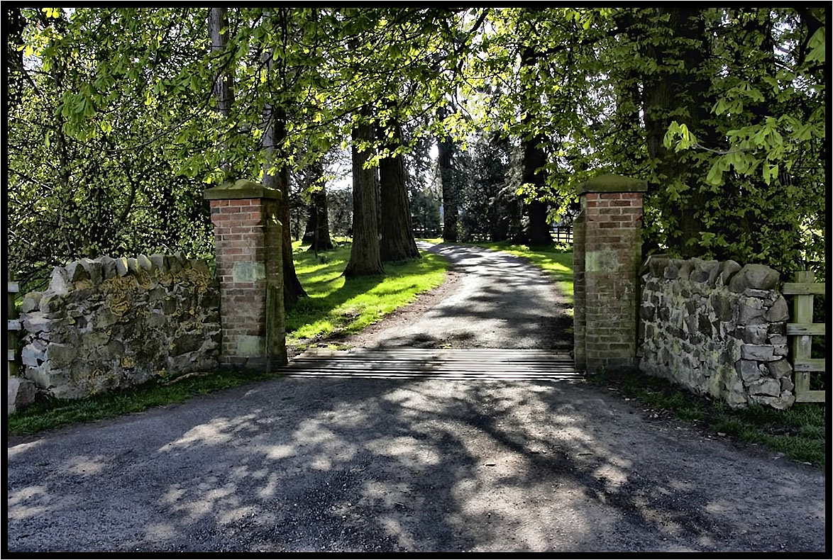
The Driveway.
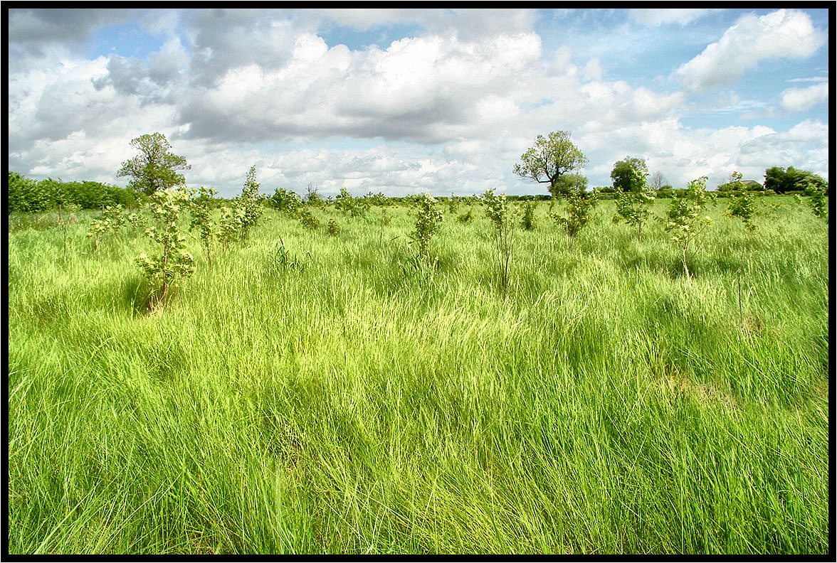
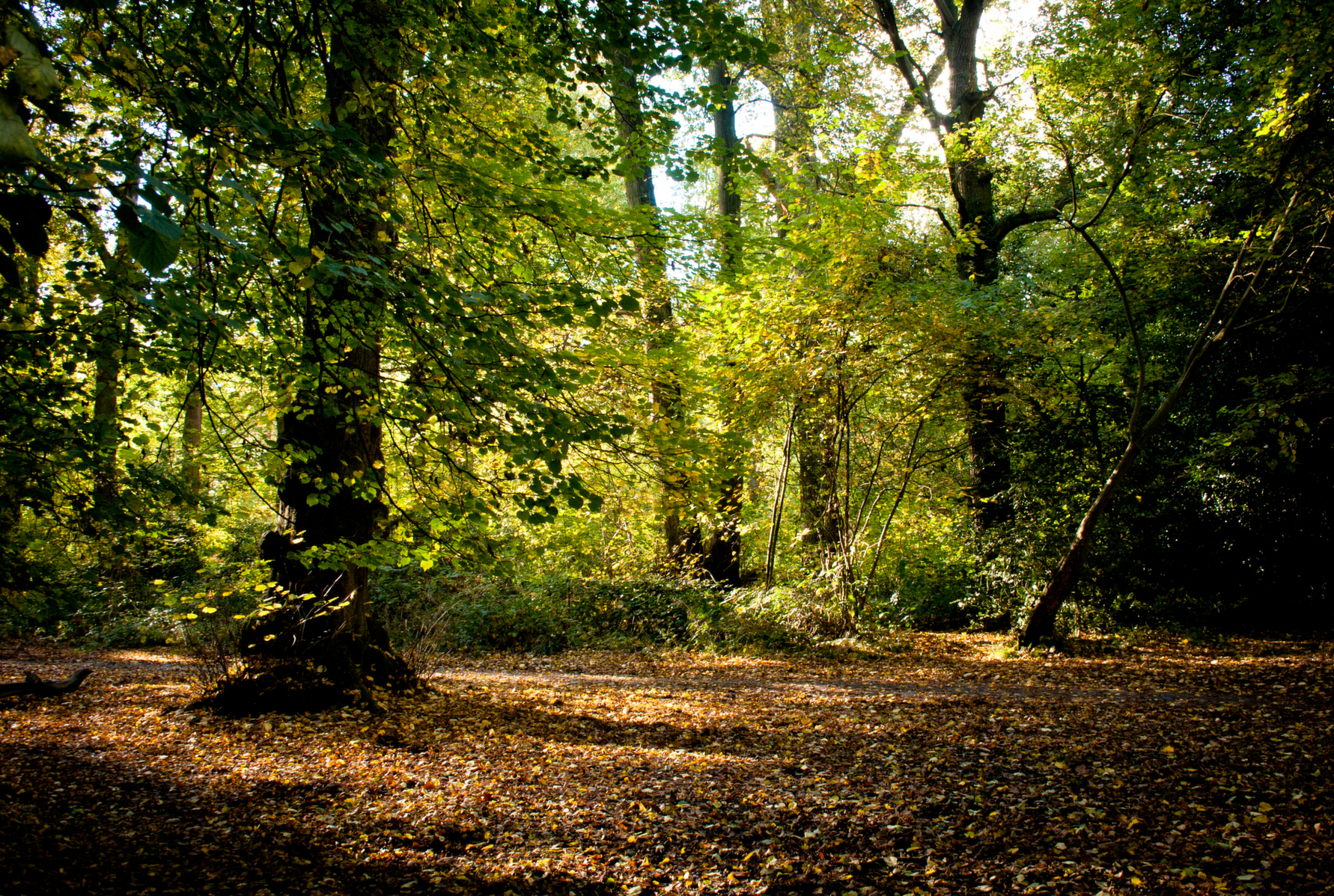
New woodland.
The Old Tree.
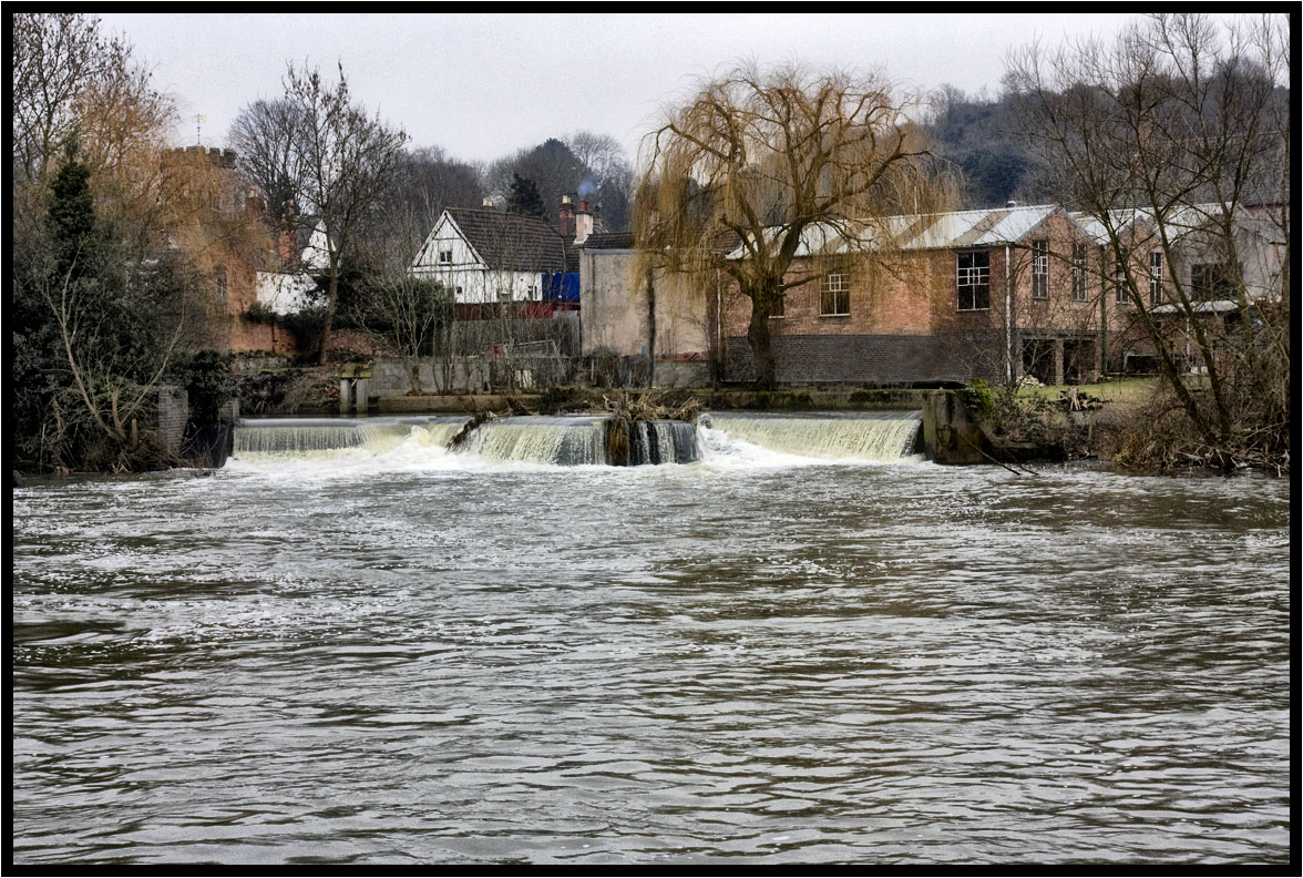
The Weir.
Looking Up 2
Roof Support.

Leicester Pride 2012

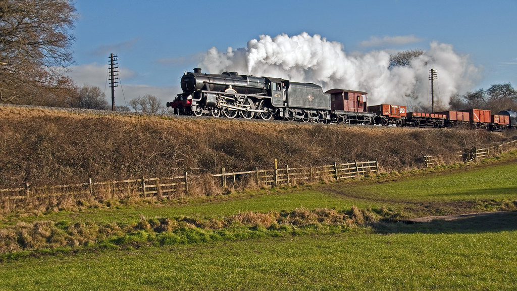
6207 Midland Red
That field again.
Winter farm yard.
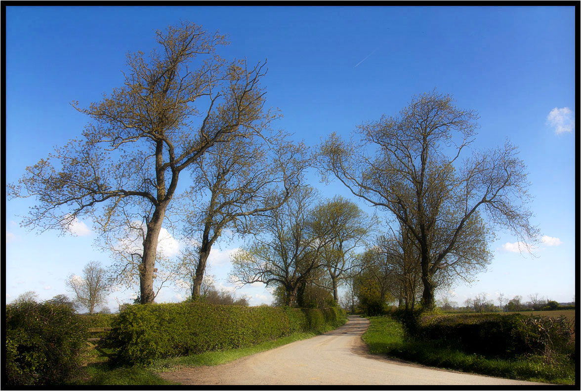
Country Lane.
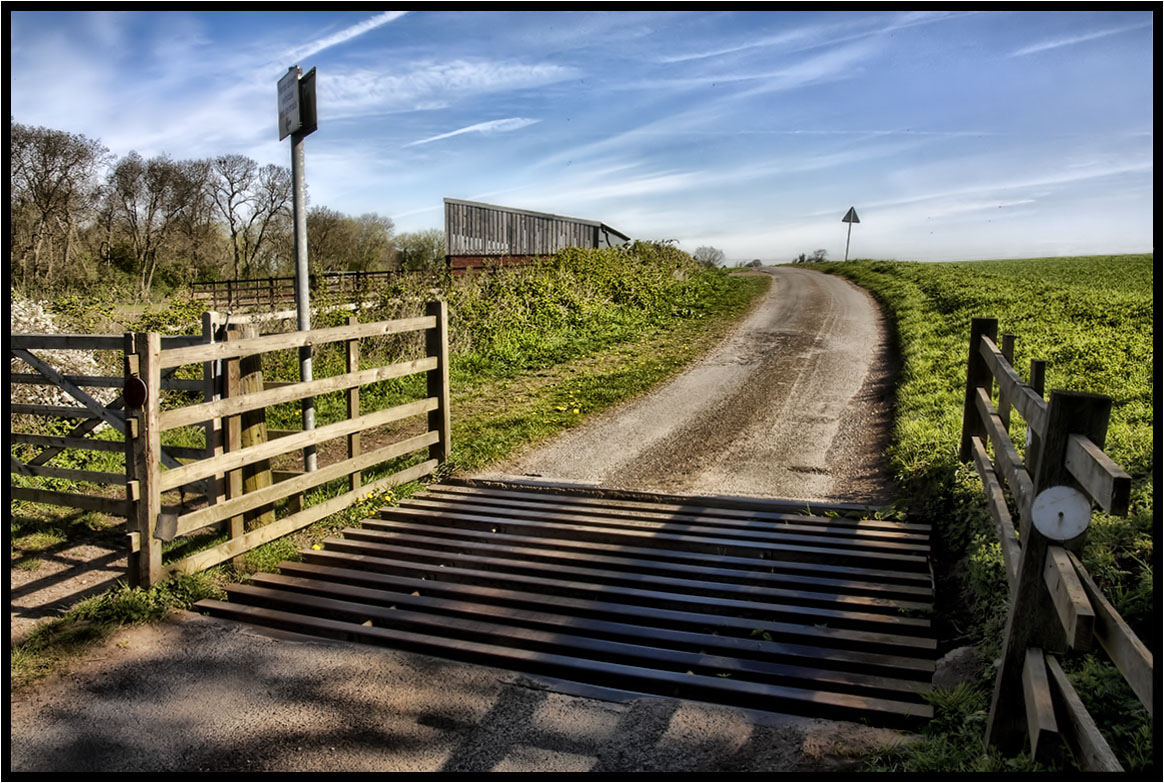
The Cattle Grid.

Baleful sunset
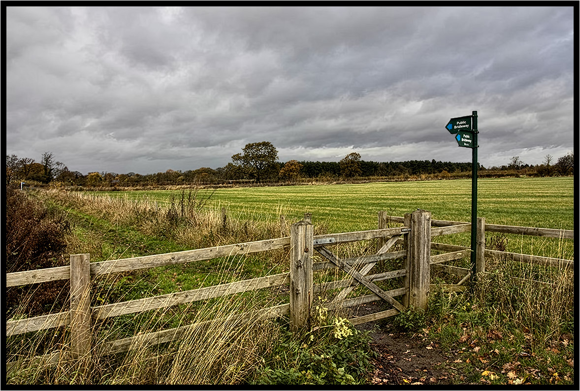
The Bridleway.

Bradgate Park
The Tree Of Light

Sunday passing by
The Lonely One.
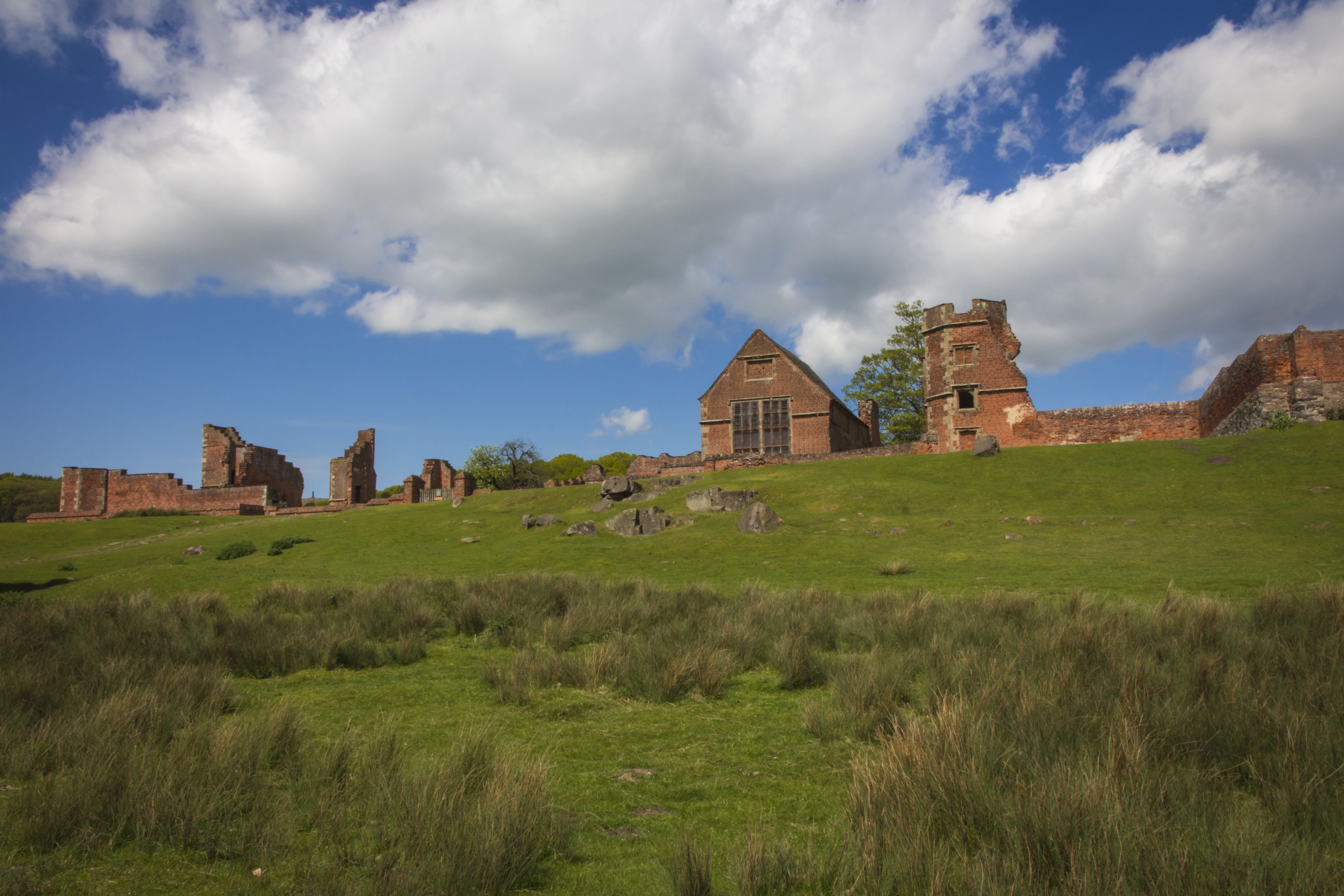
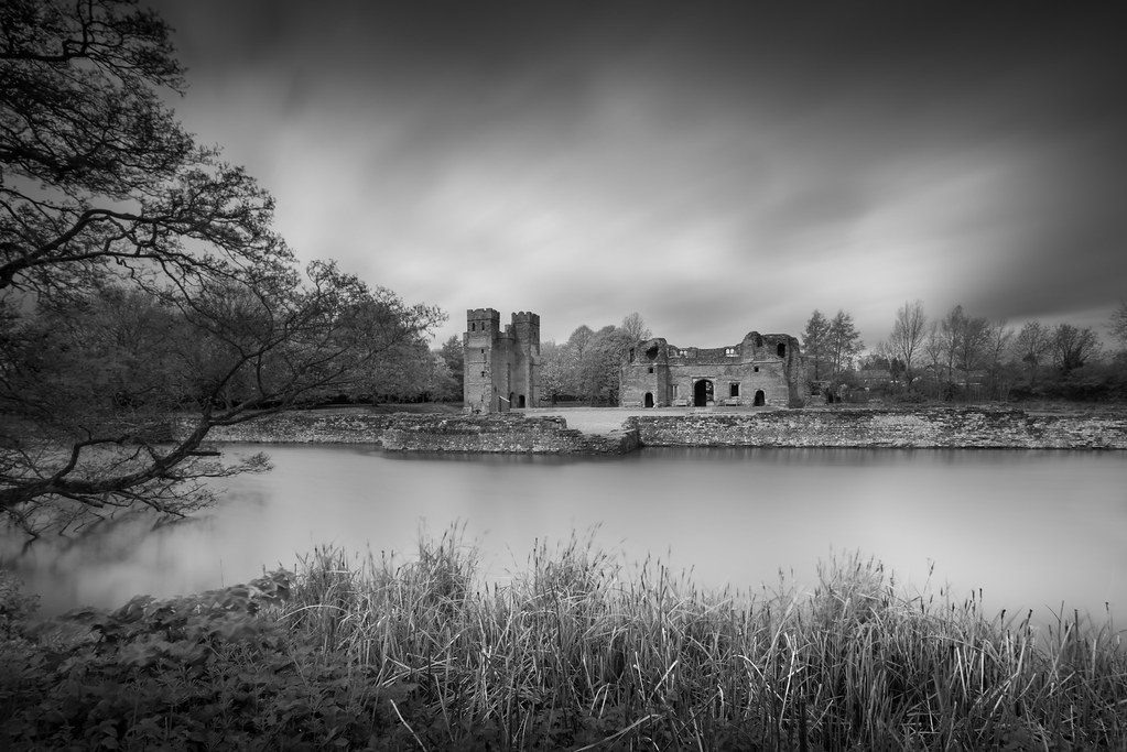
The Ruins of Bradgate Park

A Fated Sunset
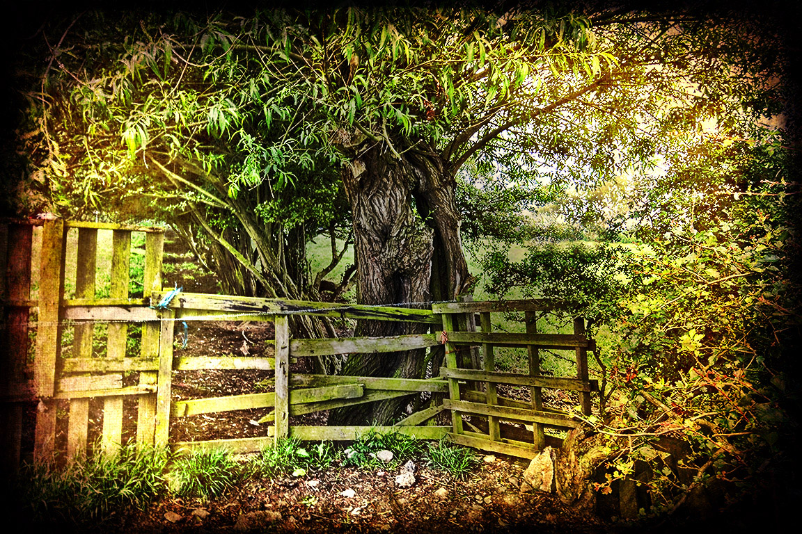
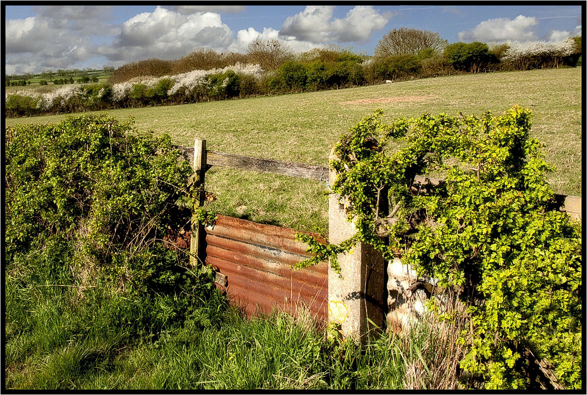
The Footpath Gate.
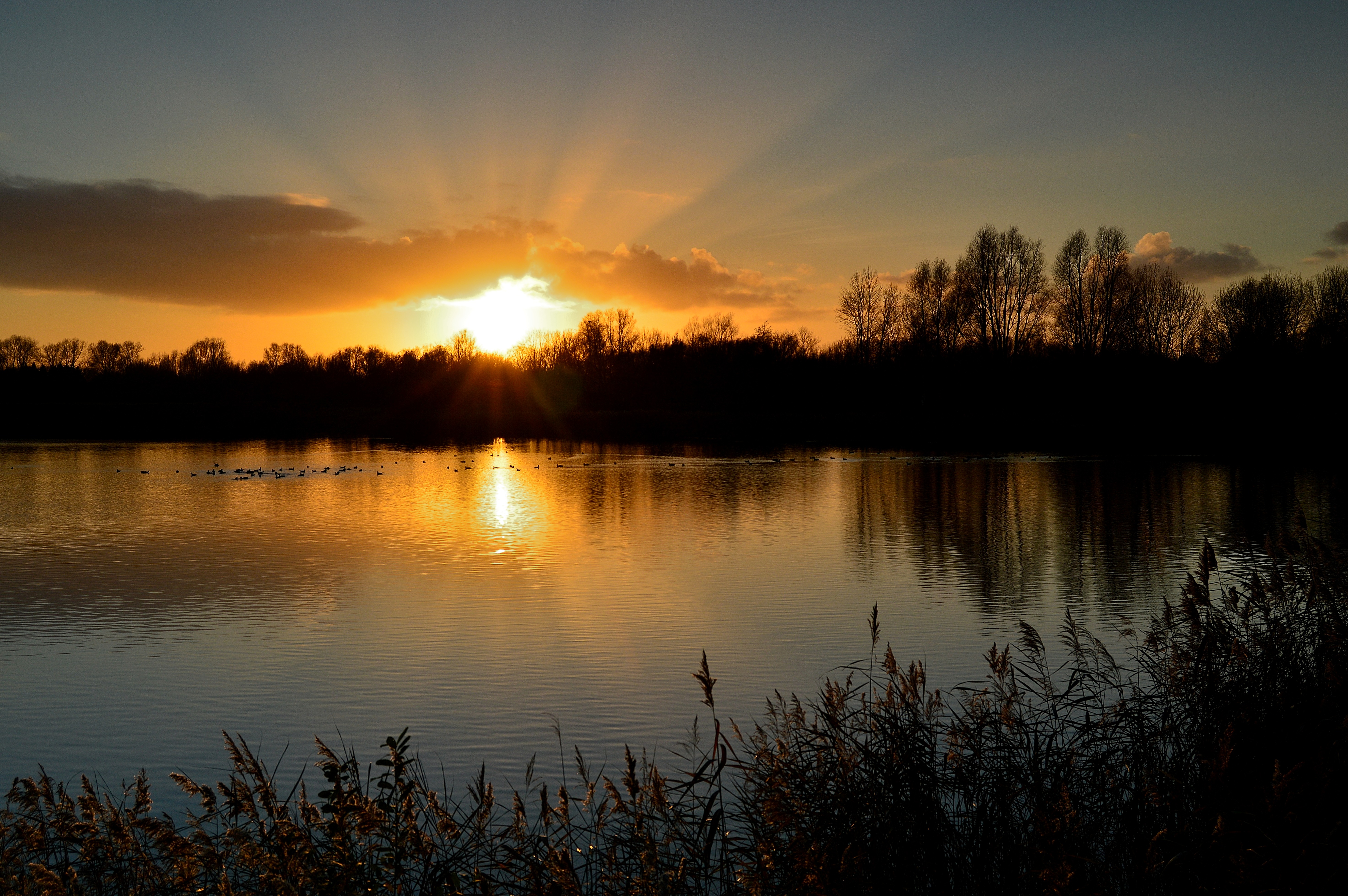
Watermead sunset.
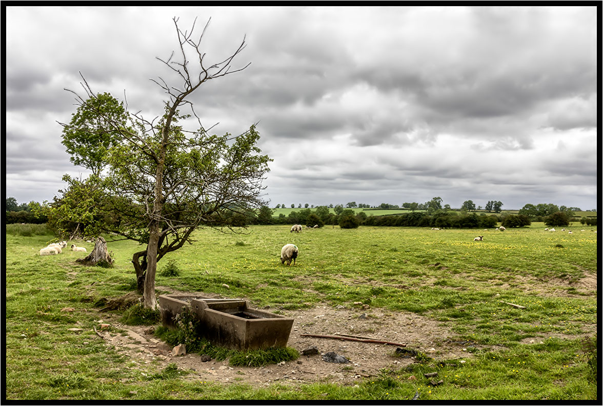
The Water Trough

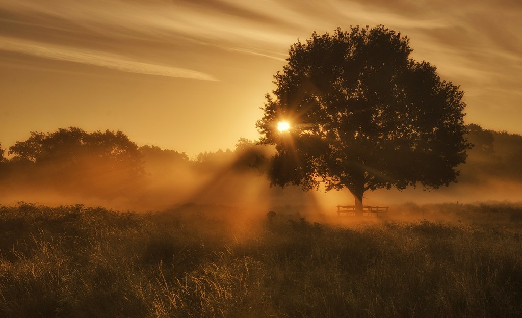
Evening Sunlight
Kinchley Lane

Tree on the rocks
shine through
Kirby Muxloe Castle
Topographic Map of Kings Corner, Kings Ln, Keyham, Leicester LE7 9JP, UK
Find elevation by address:

Places near Kings Corner, Kings Ln, Keyham, Leicester LE7 9JP, UK:
Keyham
Le7 9rr
Thurnby
84 Bowhill Grove, Leicester LE5 2PE, UK
Le7 3qf
Swinstead Road
Queniborough
Le7 3tu
8 Market Rd, Leicester LE7 9AR, UK
Malham Way
Wistow
Mere Road
Mere Road
73 Ave Rd Ext, Leicester LE2 3EP, UK
Le1 1sp
Wigston
Leicester Railway Station
Le1 7rh
Asfordby
9 South View
Recent Searches:
- Elevation of Lampiasi St, Sarasota, FL, USA
- Elevation of Elwyn Dr, Roanoke Rapids, NC, USA
- Elevation of Congressional Dr, Stevensville, MD, USA
- Elevation of Bellview Rd, McLean, VA, USA
- Elevation of Stage Island Rd, Chatham, MA, USA
- Elevation of Shibuya Scramble Crossing, 21 Udagawacho, Shibuya City, Tokyo -, Japan
- Elevation of Jadagoniai, Kaunas District Municipality, Lithuania
- Elevation of Pagonija rock, Kranto 7-oji g. 8"N, Kaunas, Lithuania
- Elevation of Co Rd 87, Jamestown, CO, USA
- Elevation of Tenjo, Cundinamarca, Colombia