Elevation of 73 Ave Rd Ext, Leicester LE2 3EP, UK
Location: United Kingdom > Leicestershire > Leicester >
Longitude: -1.117391
Latitude: 52.6153633
Elevation: 86m / 282feet
Barometric Pressure: 100KPa
Elevation Map:
Satellite Map:
Related Photos:

september river

15 - 46.
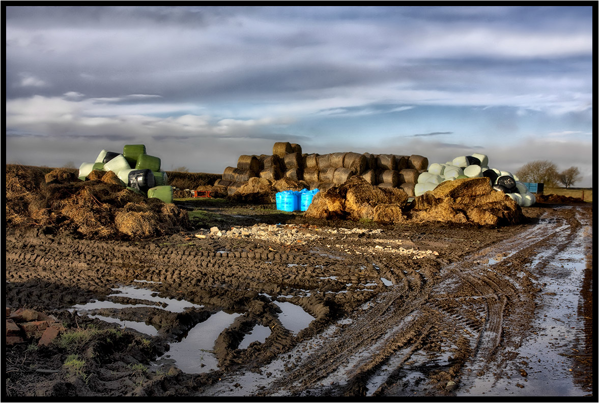
Winter farm yard.
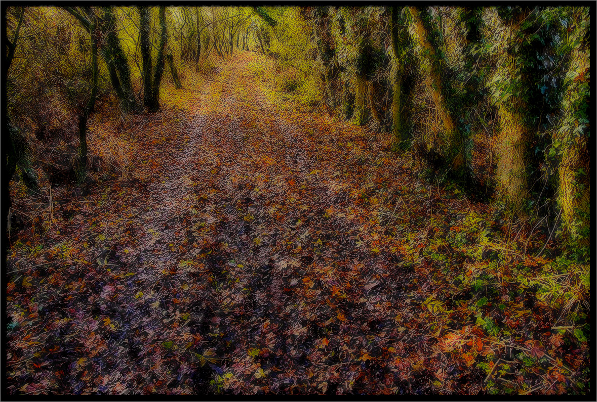
The Path.
A Footpath.
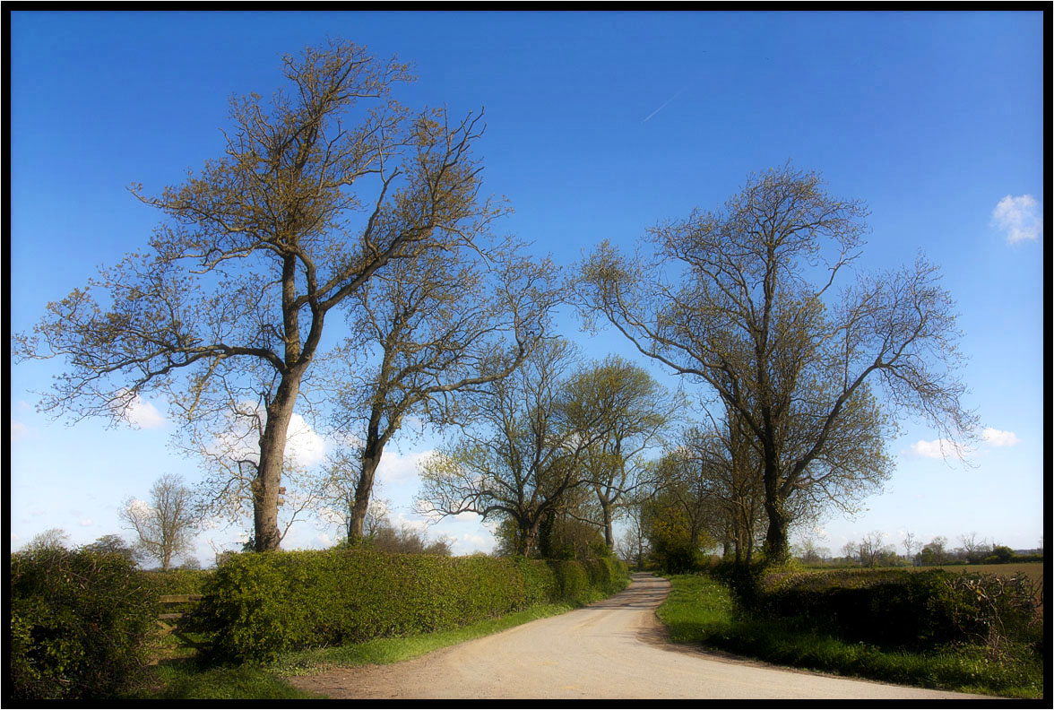
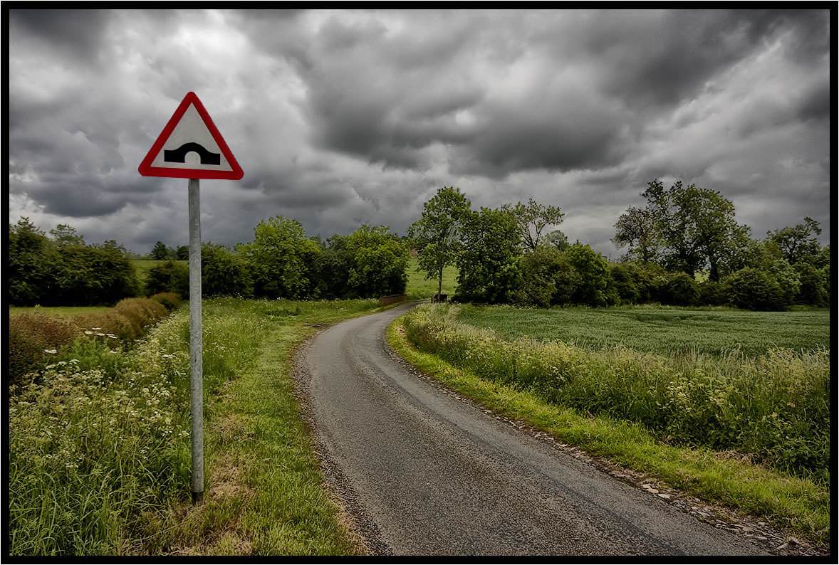
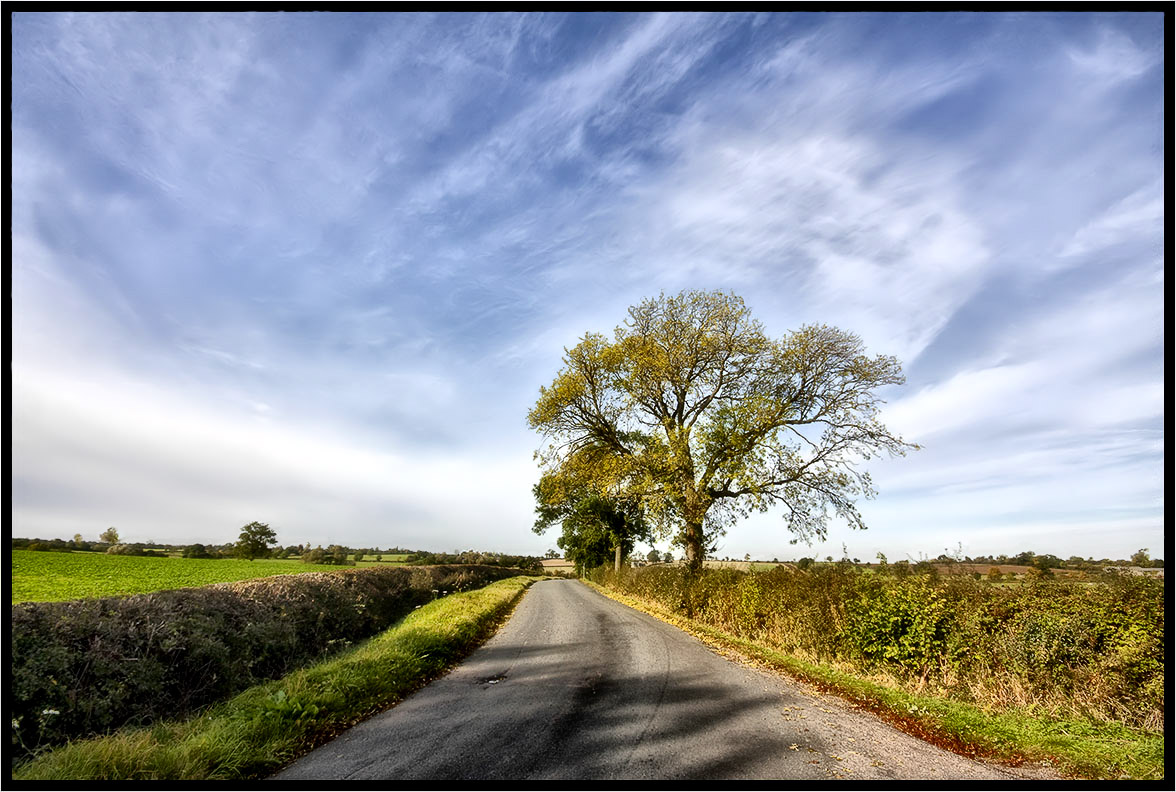
Country Lane.
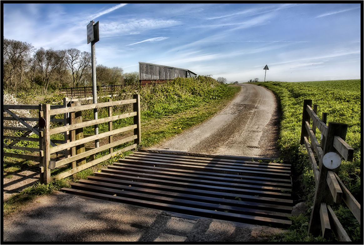
The Cattle Grid.
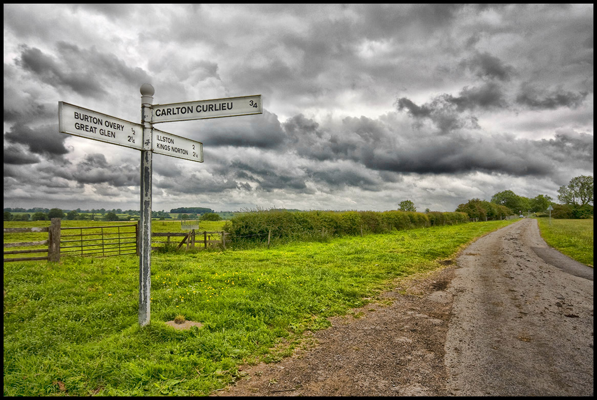
The Road Sign.
The Hump................

The runner.
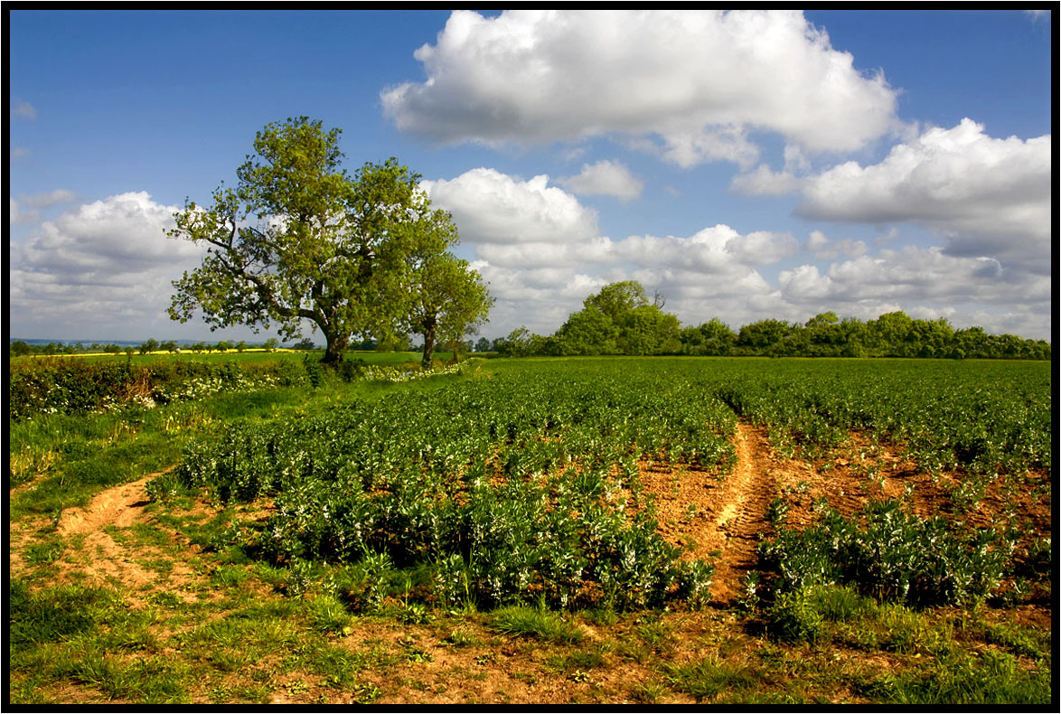
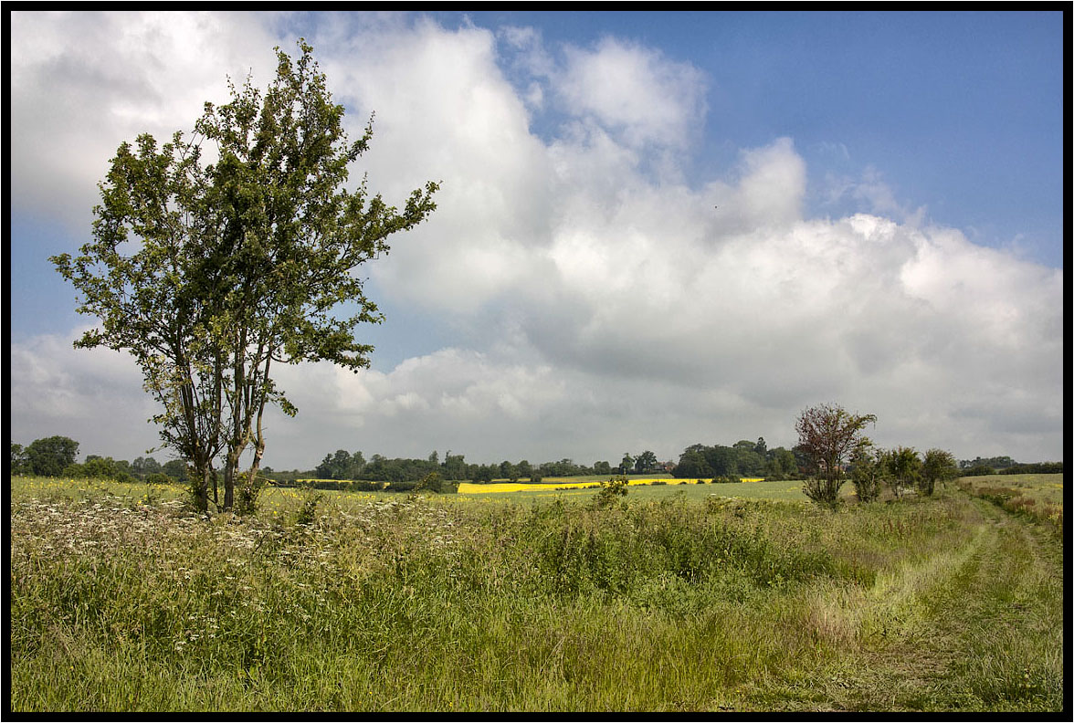
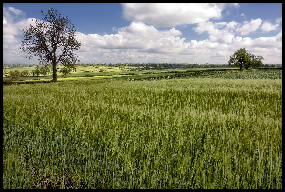
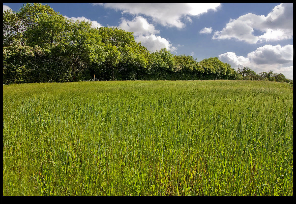
The Young Crop.
The Photographer.
Evening over Bradgate
The Little Stream.

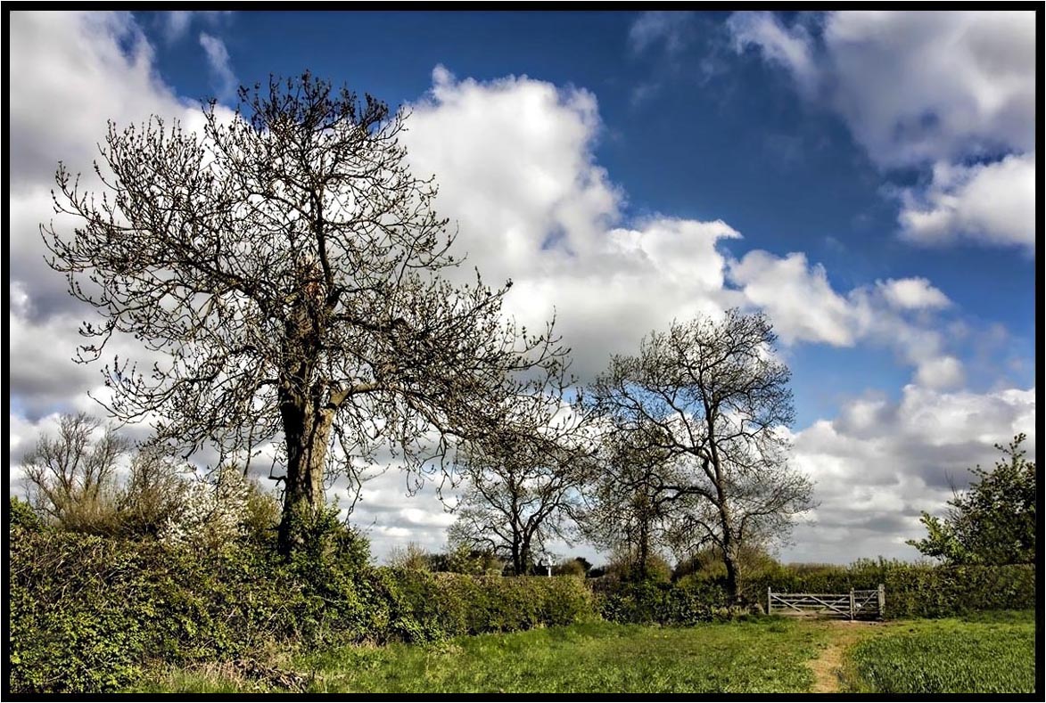
Tree.
The Hawthorn Hedge.
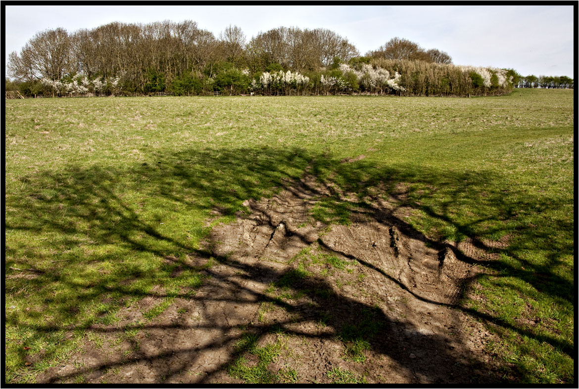
The Shadow.

Watermead (for a change)
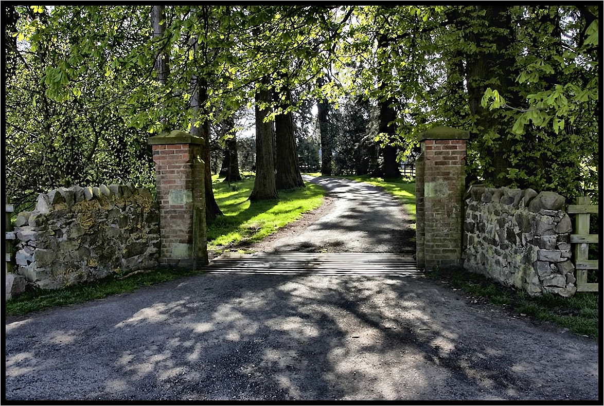
The Driveway.
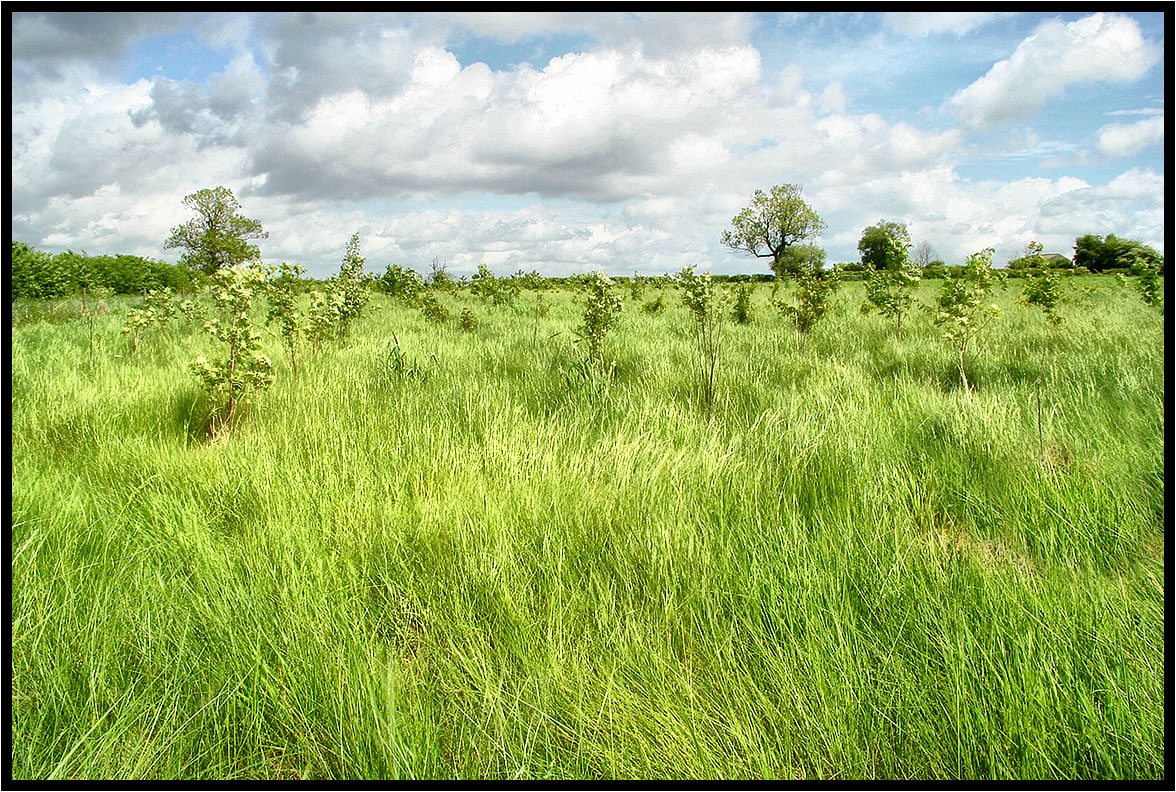
New woodland.

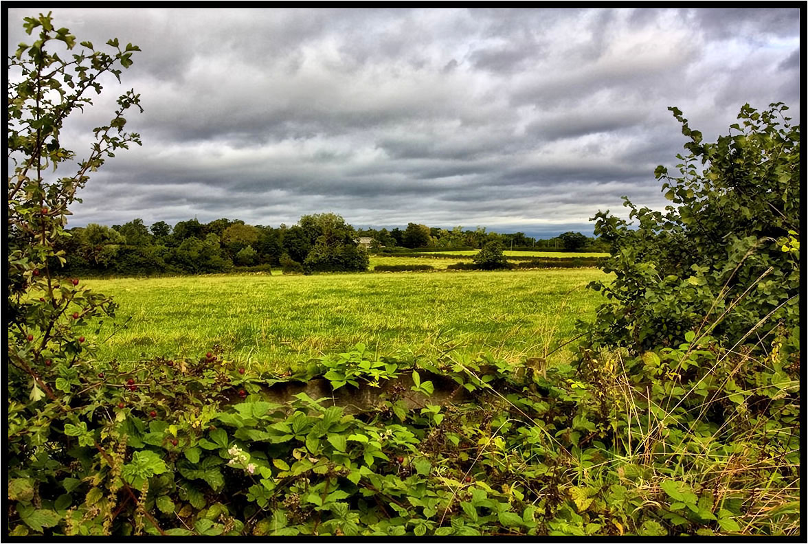
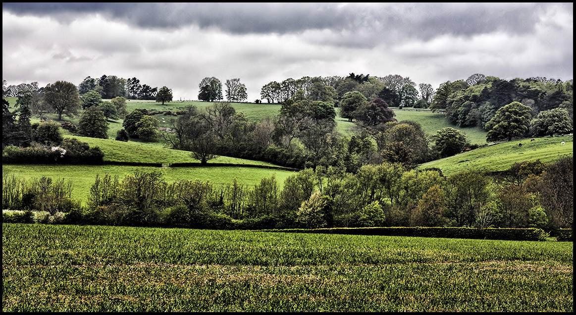
That field again.
Under The Clouds.

.
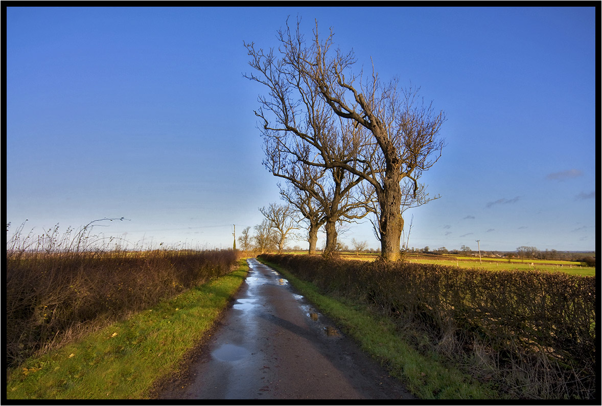
Country Lane
Across the fields.
The Prevailing Wind.
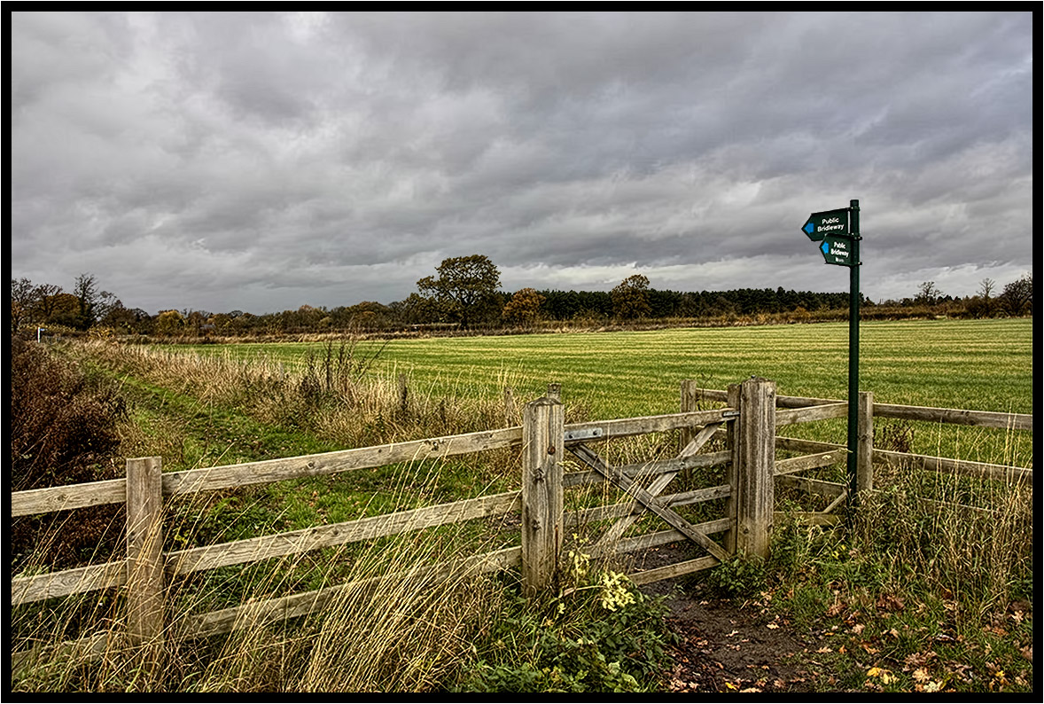
The Bridleway.

Bradgate Park

cycling in the park
A Light Breeze.
The Trees.
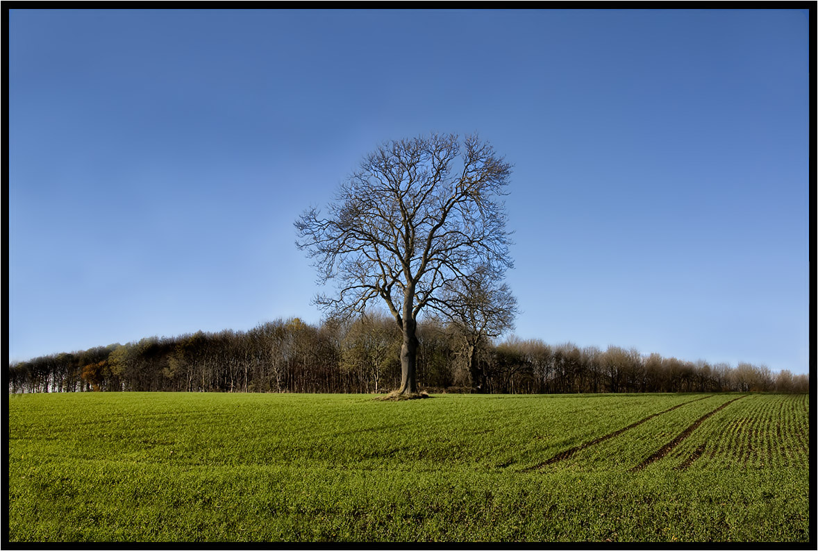
The Lonely One.

Grand Union Canal, Saddington, Leicestershire

A Fated Sunset
Across The Fields 2.
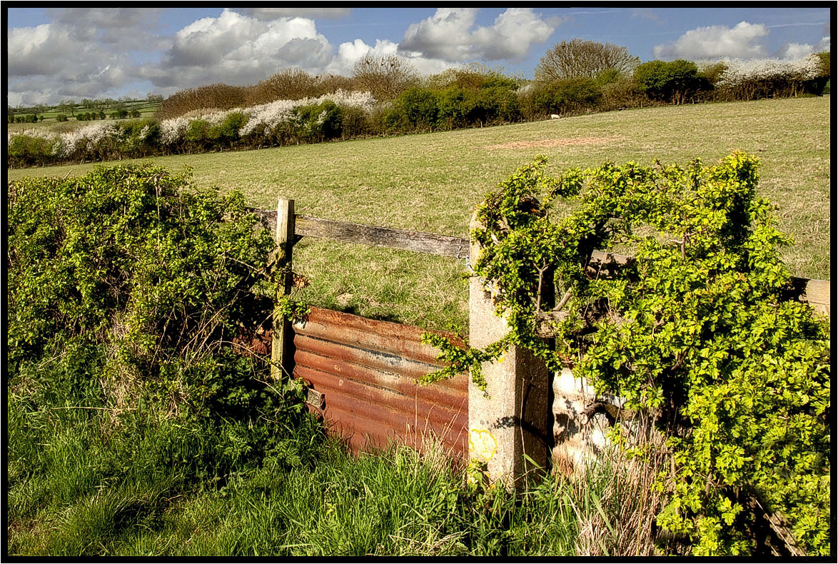
The Footpath Gate.
Topographic Map of 73 Ave Rd Ext, Leicester LE2 3EP, UK
Find elevation by address:

Places near 73 Ave Rd Ext, Leicester LE2 3EP, UK:
Le1 7rh
Leicester Railway Station
Le1 1sp
Mere Road
Walnut Street
Leicester
Leicester
Wigston
Mere Road
Blossom Road
Malham Way
Swinstead Road
2 Butterwick Dr, Leicester LE4 0UL, UK
Wistow
M1
Anstey
Glenfield
Le3 8rh
Bradgate Park
Main St, Swithland, Loughborough LE12 8TJ, UK
Recent Searches:
- Elevation of Congressional Dr, Stevensville, MD, USA
- Elevation of Bellview Rd, McLean, VA, USA
- Elevation of Stage Island Rd, Chatham, MA, USA
- Elevation of Shibuya Scramble Crossing, 21 Udagawacho, Shibuya City, Tokyo -, Japan
- Elevation of Jadagoniai, Kaunas District Municipality, Lithuania
- Elevation of Pagonija rock, Kranto 7-oji g. 8"N, Kaunas, Lithuania
- Elevation of Co Rd 87, Jamestown, CO, USA
- Elevation of Tenjo, Cundinamarca, Colombia
- Elevation of Côte-des-Neiges, Montreal, QC H4A 3J6, Canada
- Elevation of Bobcat Dr, Helena, MT, USA