Elevation of King Mountain West, Colorado, USA
Location: United States > Colorado > Routt County > Toponas >
Longitude: -106.90444
Latitude: 39.9961111
Elevation: 3026m / 9928feet
Barometric Pressure: 70KPa
Elevation Map:
Satellite Map:
Related Photos:
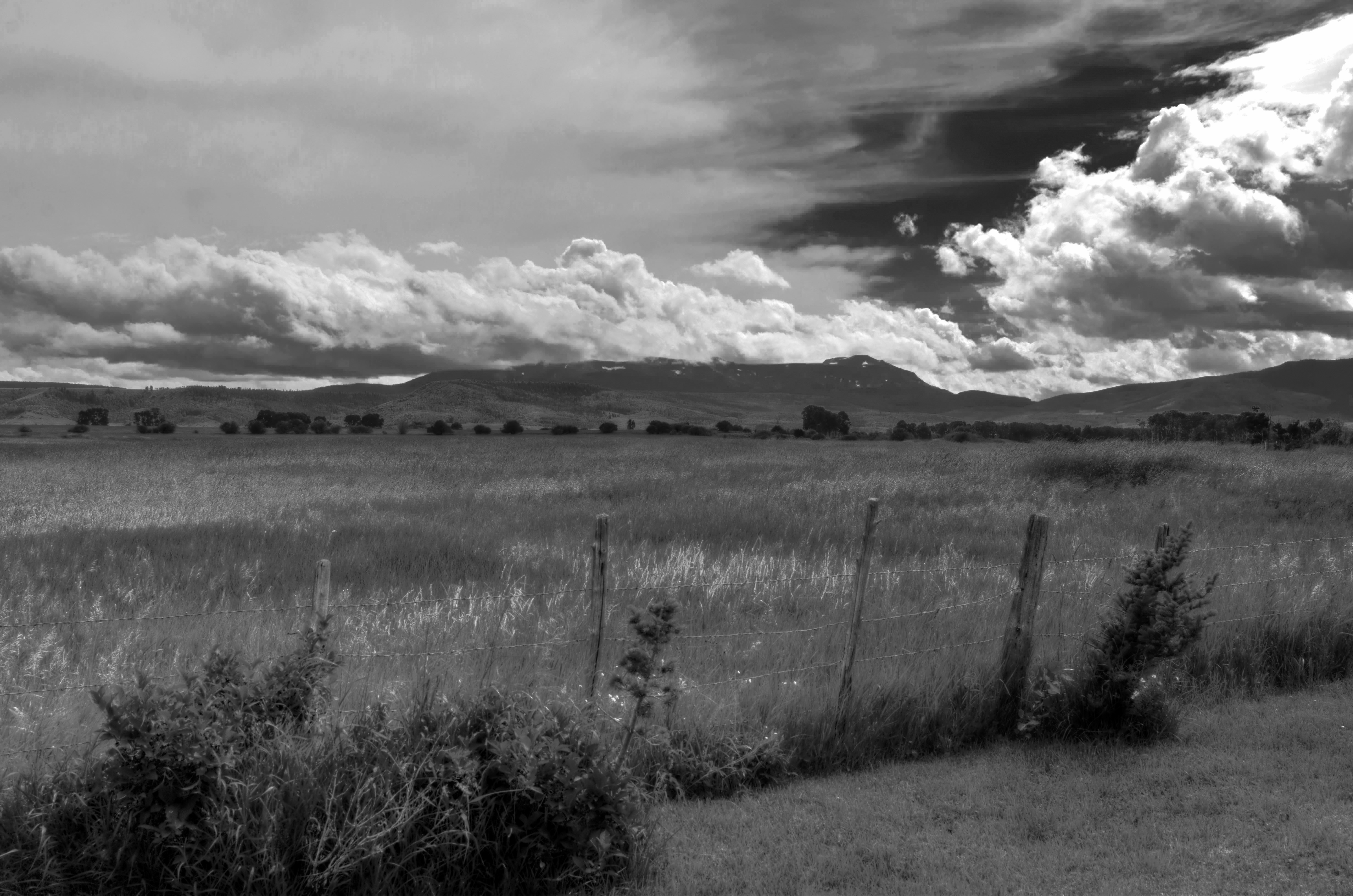
Flattops View from Yampa Ranch
Topographic Map of King Mountain West, Colorado, USA
Find elevation by address:

Places near King Mountain West, Colorado, USA:
Burns
Colorado River Rd, Burns, CO, USA
Bear River
Yampa
Bear Lake Campground
Flat Top Mountain
Orno Peak
Derby Peak
13403 Colorado River Rd
Phippsburg
W Mountain
203 Grandview Ave
Oak Creek
8778 Colorado River Rd
Pyramid Peak
25655 Shining Mtn Dr
Shingle Peak
Trappers Lake
Edna Mine
Haybro Mine
Recent Searches:
- Elevation of Corso Fratelli Cairoli, 35, Macerata MC, Italy
- Elevation of Tallevast Rd, Sarasota, FL, USA
- Elevation of 4th St E, Sonoma, CA, USA
- Elevation of Black Hollow Rd, Pennsdale, PA, USA
- Elevation of Oakland Ave, Williamsport, PA, USA
- Elevation of Pedrógão Grande, Portugal
- Elevation of Klee Dr, Martinsburg, WV, USA
- Elevation of Via Roma, Pieranica CR, Italy
- Elevation of Tavkvetili Mountain, Georgia
- Elevation of Hartfords Bluff Cir, Mt Pleasant, SC, USA