Elevation of Flat Top Mountain, Colorado, USA
Location: United States > Colorado > Meeker >
Longitude: -107.08338
Latitude: 40.0008184
Elevation: 3546m / 11634feet
Barometric Pressure: 65KPa
Elevation Map:
Satellite Map:
Related Photos:

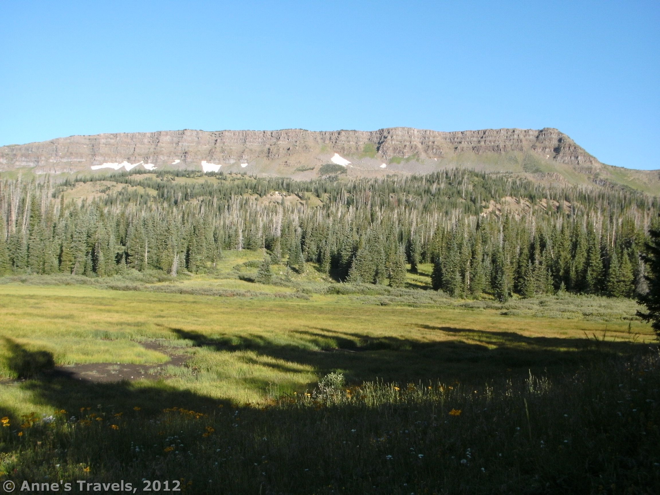
Wildflowers below Flat Top Mountain, Bear River drainage, Medicine Bow Routt National Forest, Rocky Mountains, elevation 3075 m (10090 ft)
First view of the Causeway
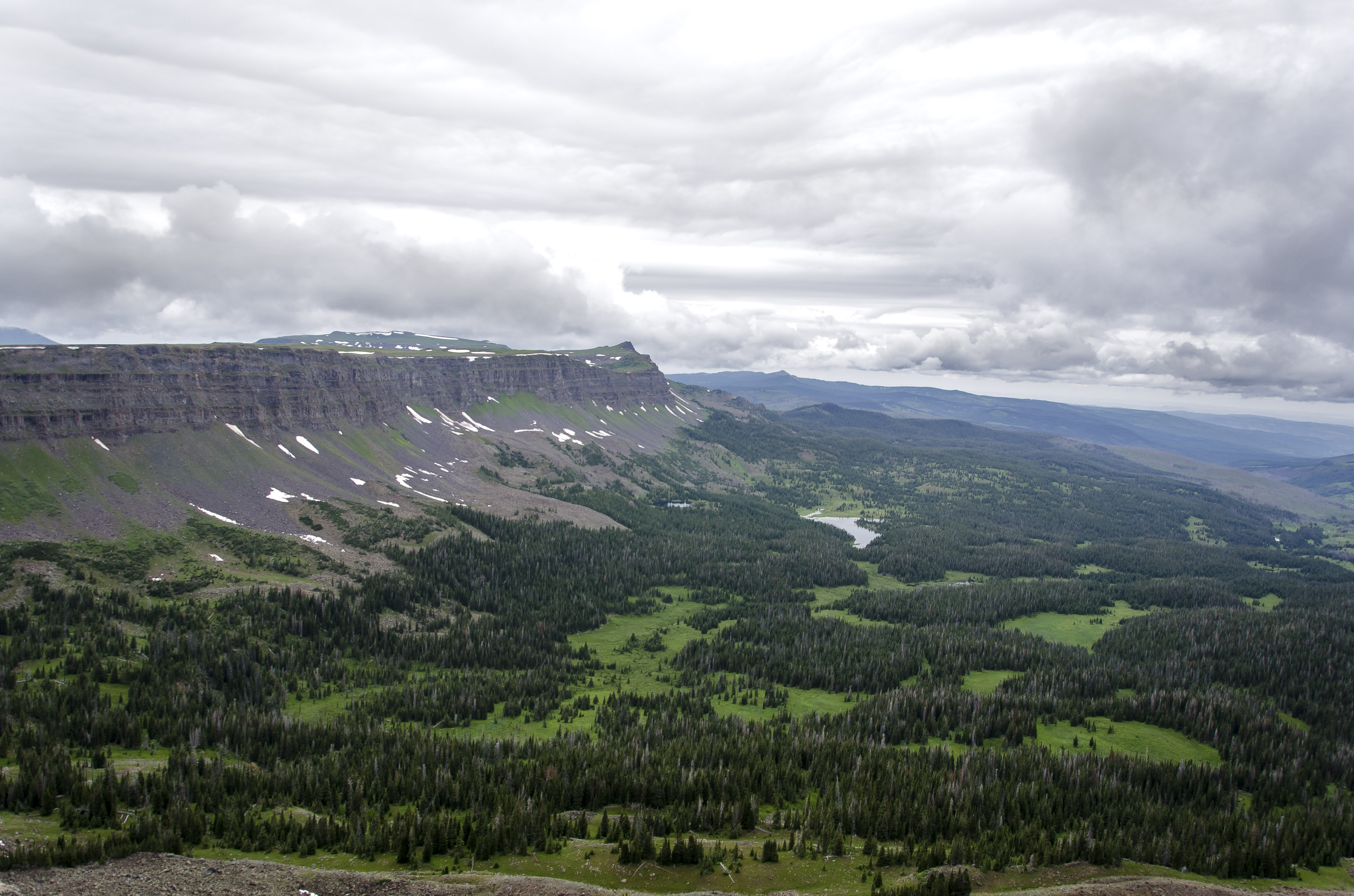
Stormy View From the Flattops
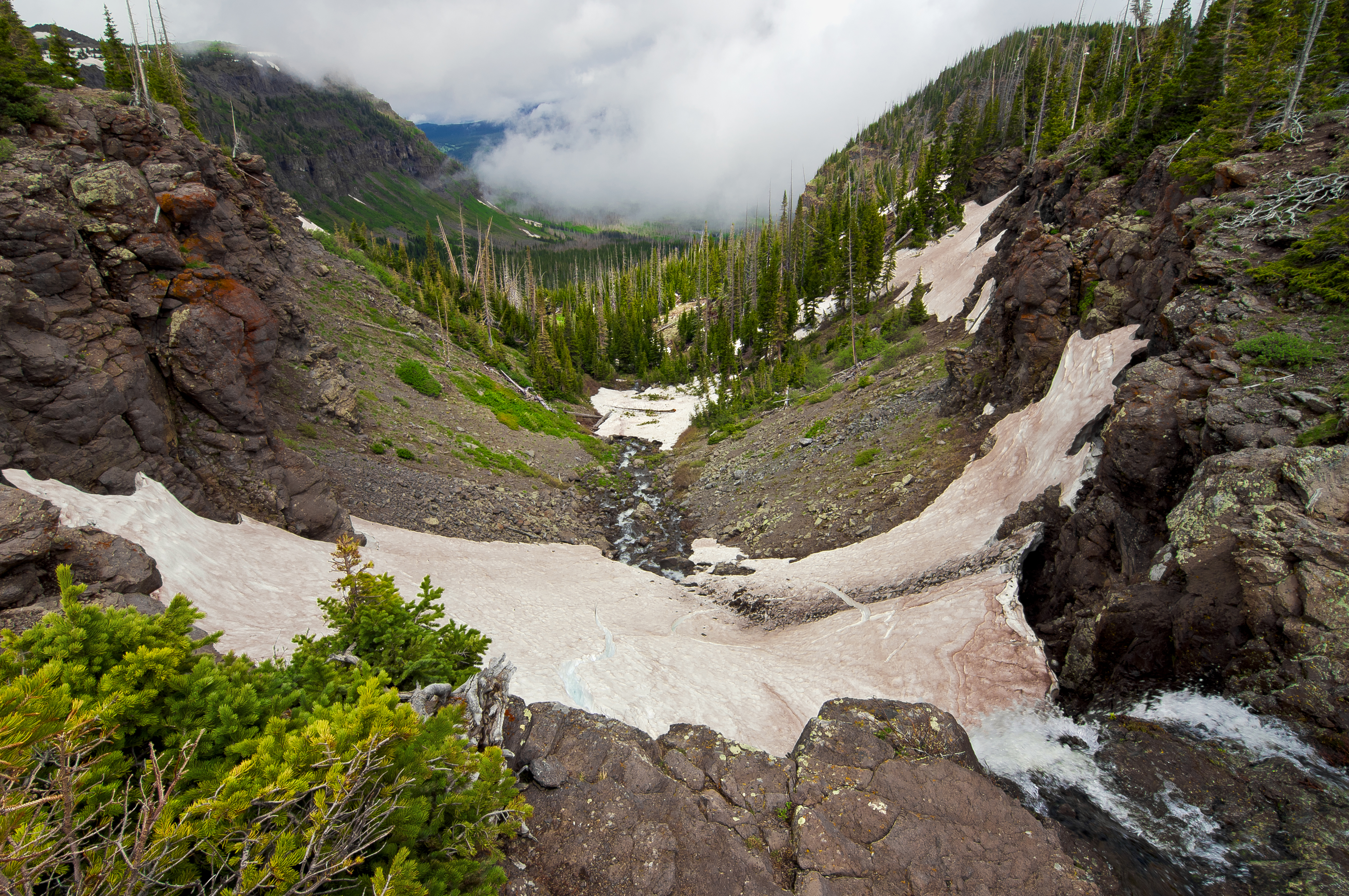
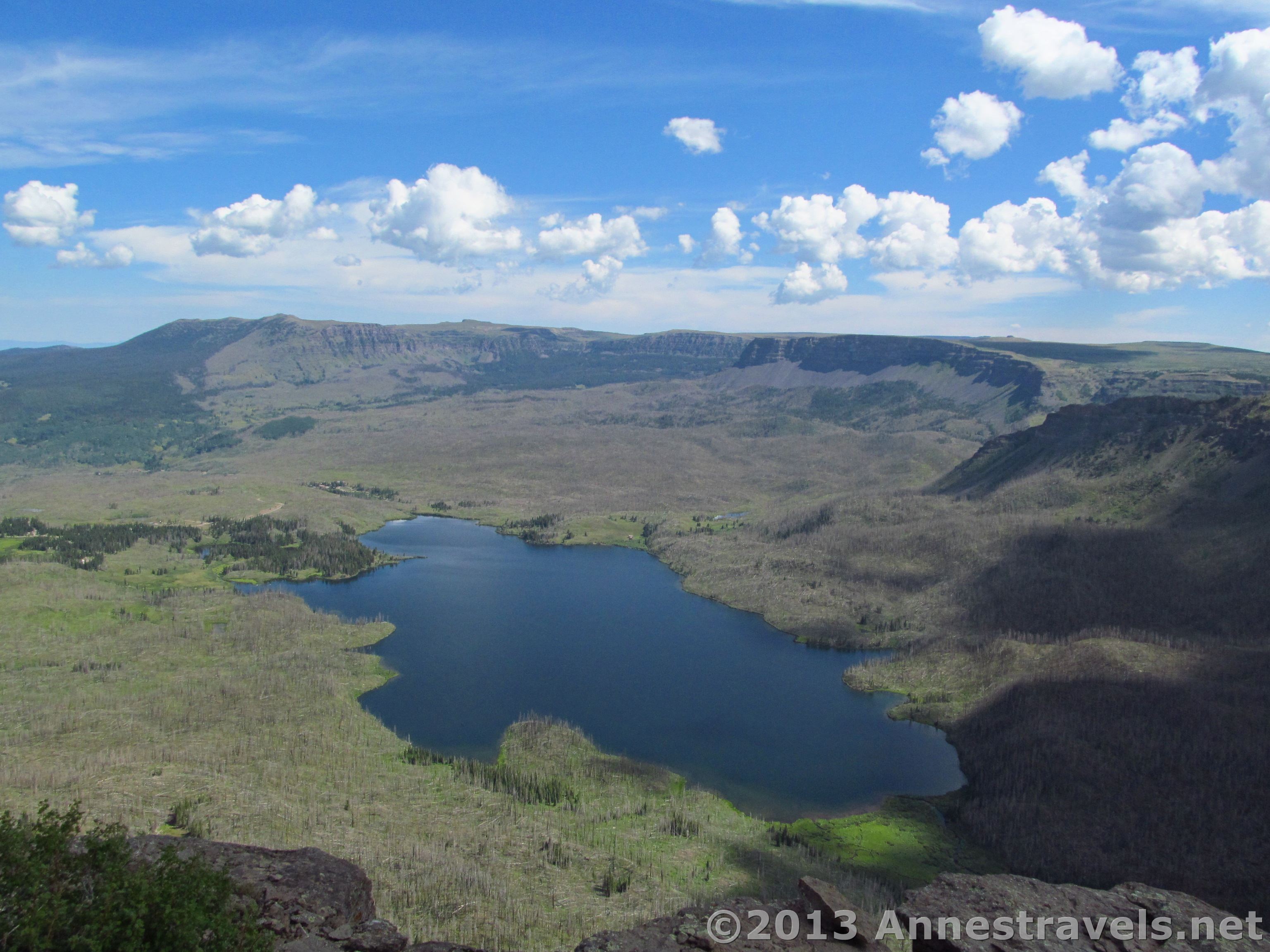
Trapper's Lake Valley

View from Amphitheatre Peak - Wall Lake
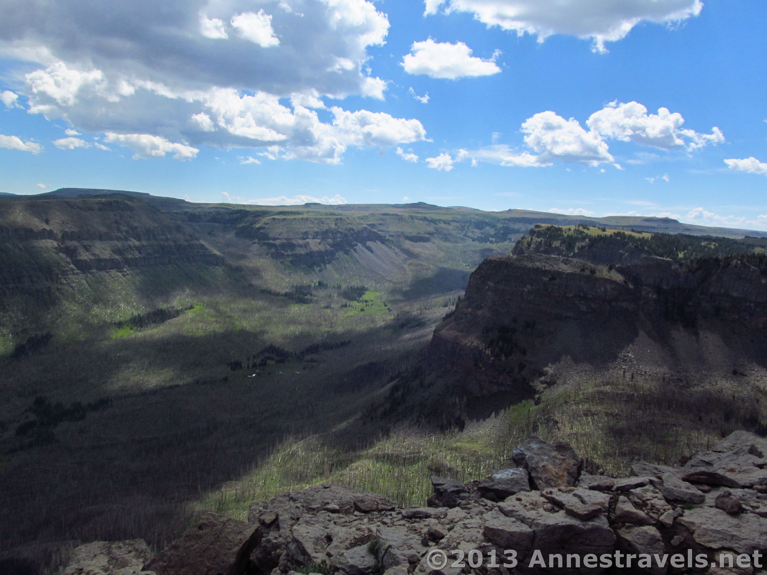
View from Amphitheatre Peak - The Amphitheater
View from Amphitheatre Peak - Trappers Lake

View from the Saddle

Himes Peak as the head of a sea serpent
Topographic Map of Flat Top Mountain, Colorado, USA
Find elevation by address:

Places near Flat Top Mountain, Colorado, USA:
Bear Lake Campground
Derby Peak
Orno Peak
W Mountain
Trappers Lake
Pyramid Peak
Bear River
Shingle Peak
Trappers Peak
King Mountain West
Himes Peak
Trappers Lake Road
Dunckley Flat Tops Hp
Vaughan Lake Campground
Yampa
13403 Colorado River Rd
Colorado River Rd, Burns, CO, USA
Burns
South Little Marvine Peak
Elk Knob
Recent Searches:
- Elevation of Corso Fratelli Cairoli, 35, Macerata MC, Italy
- Elevation of Tallevast Rd, Sarasota, FL, USA
- Elevation of 4th St E, Sonoma, CA, USA
- Elevation of Black Hollow Rd, Pennsdale, PA, USA
- Elevation of Oakland Ave, Williamsport, PA, USA
- Elevation of Pedrógão Grande, Portugal
- Elevation of Klee Dr, Martinsburg, WV, USA
- Elevation of Via Roma, Pieranica CR, Italy
- Elevation of Tavkvetili Mountain, Georgia
- Elevation of Hartfords Bluff Cir, Mt Pleasant, SC, USA