Elevation of Kincardine Rd, Kincardine, NB E7H 2K1, Canada
Location: Canada > New Brunswick > Victoria County > Perth > Kincardine >
Longitude: -67.644807
Latitude: 46.6417212
Elevation: 215m / 705feet
Barometric Pressure: 99KPa
Elevation Map:
Satellite Map:
Related Photos:
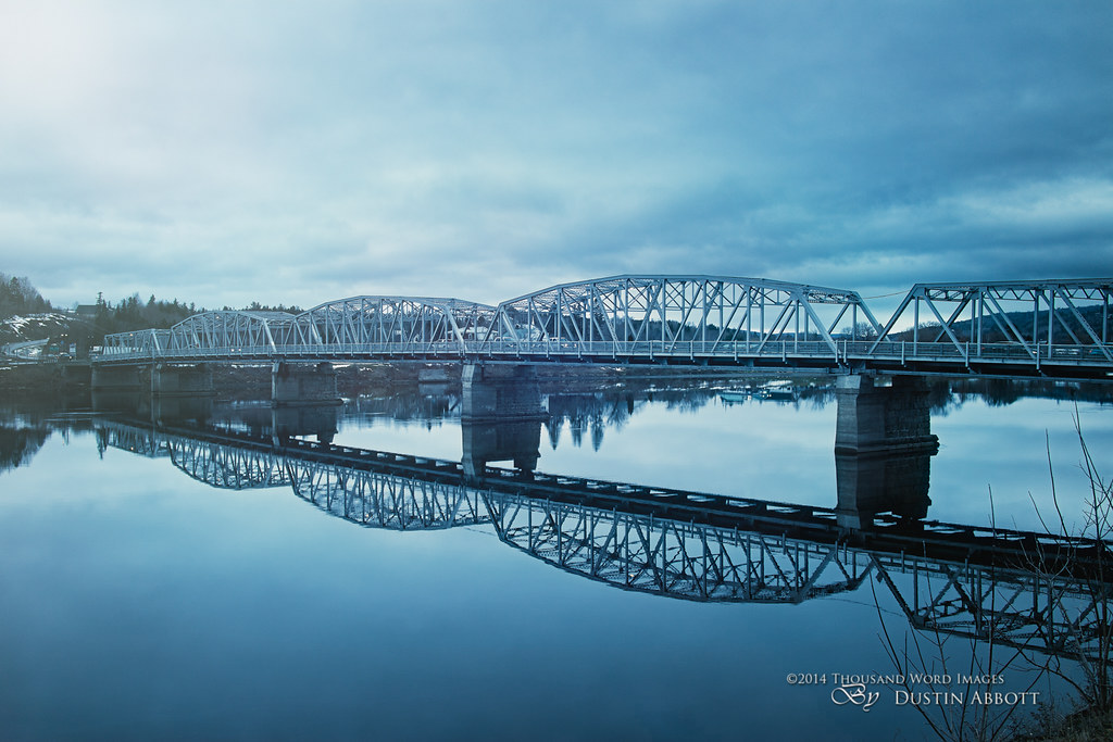
Perth Andover, New Brunswick
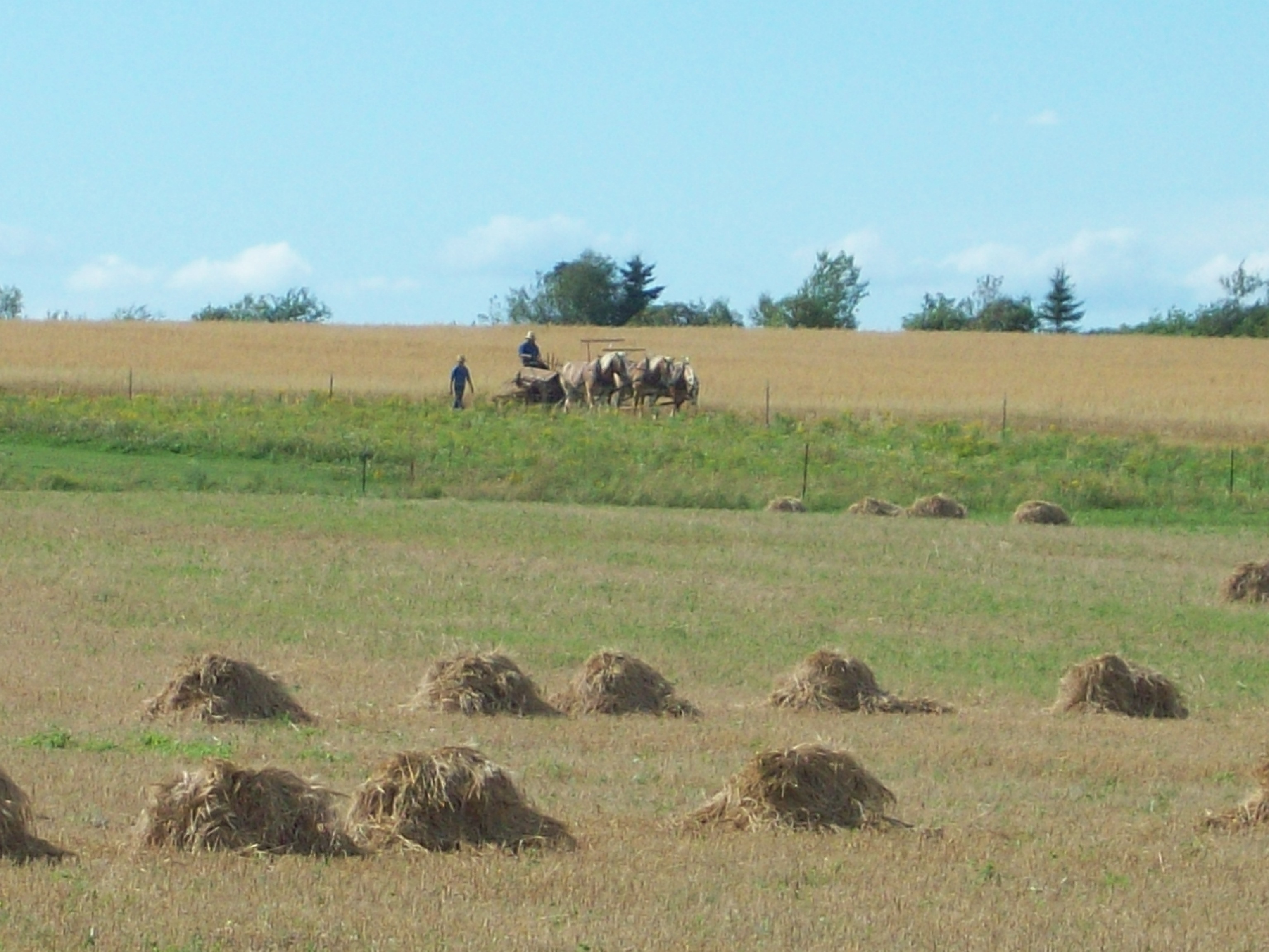
Amish strawmen: Easton Center, ME

Route 2

Route 2

2016-05-20 20.35.00

2016-05-20 20.35.08

2016-05-20 20.39.24

2016-05-20 20.43.14

2016-05-20 20.43.21

2016-05-20 20.43.27

2016-05-20 20.49.56

2016-05-20 20.50.01

2016-05-20 20.35.24

2016-05-20 20.35.40

2016-05-20 20.38.50
2016-05-20 20.39.37

2016-05-20 20.50.07

Mars Hill 5

Mars Hill 6
Topographic Map of Kincardine Rd, Kincardine, NB E7H 2K1, Canada
Find elevation by address:

Places near Kincardine Rd, Kincardine, NB E7H 2K1, Canada:
271 Kincardine Rd
Kincardine
Maplehurst Rd, Maplehurst, NB E7J 1T5, Canada
Perth
59 Palmer Rd, Upper Kent, NB E7J 1Y4, Canada
Upper Kent
Upper Kintore
59 N Johnville Rd, Johnville, NB E7J 1L2, Canada
7706 Nb-130
Perth-andover
11300 Nb-130
11300 Nb-130
11300 Nb-130
Johnville
Johnville Rd, Johnville, NB E7J 1J6, Canada
Andover
Wicklow
90 Pokiok Ln
Carlingford
Knoxford
Recent Searches:
- Elevation of Elwyn Dr, Roanoke Rapids, NC, USA
- Elevation of Congressional Dr, Stevensville, MD, USA
- Elevation of Bellview Rd, McLean, VA, USA
- Elevation of Stage Island Rd, Chatham, MA, USA
- Elevation of Shibuya Scramble Crossing, 21 Udagawacho, Shibuya City, Tokyo -, Japan
- Elevation of Jadagoniai, Kaunas District Municipality, Lithuania
- Elevation of Pagonija rock, Kranto 7-oji g. 8"N, Kaunas, Lithuania
- Elevation of Co Rd 87, Jamestown, CO, USA
- Elevation of Tenjo, Cundinamarca, Colombia
- Elevation of Côte-des-Neiges, Montreal, QC H4A 3J6, Canada