Elevation of Kimberley Nordic Center, N Star Dr, Kimberley, BC V1A 3E9, Canada
Location: Canada > British Columbia > East Kootenay > Kimberley >
Longitude: -116.00693
Latitude: 49.6822765
Elevation: 1304m / 4278feet
Barometric Pressure: 87KPa
Elevation Map:
Satellite Map:
Related Photos:

Marysville Falls British Colombia Canada

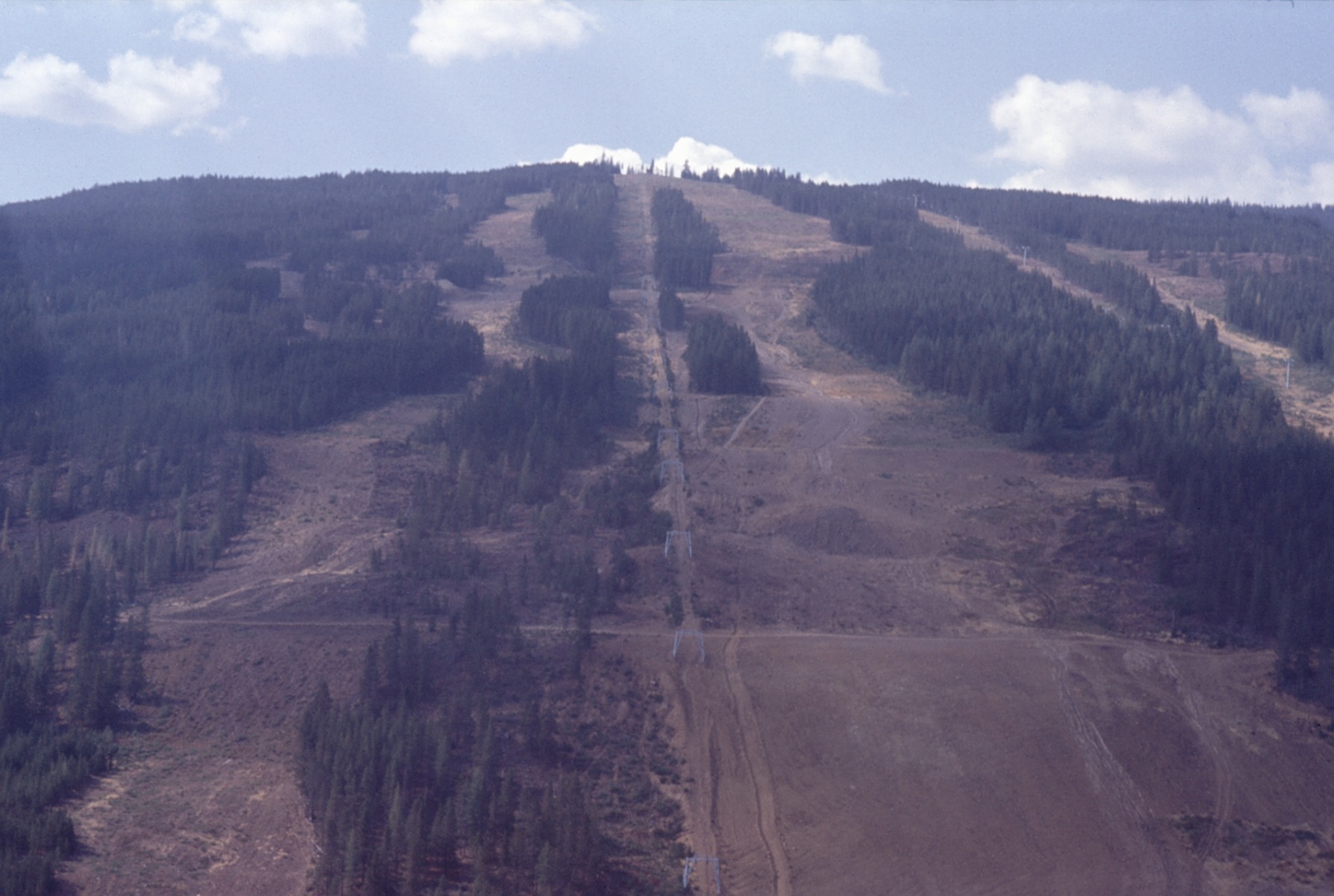
Nice view from Kimberley Ski Hill

View up Chair lift
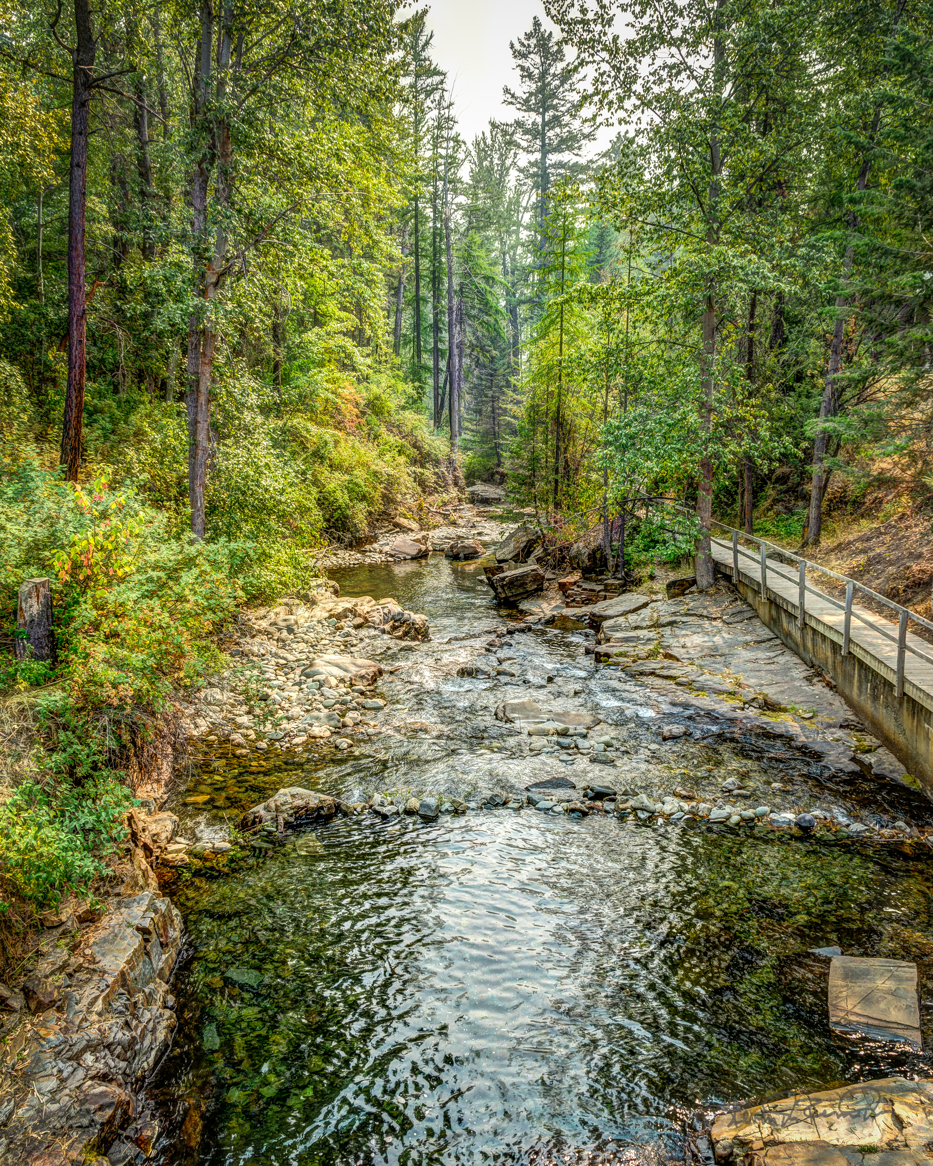
Bridge with a View

Marysville Falls, BC (Image 1)

View SE from Chair

View E of Steeples from Chair

view from house
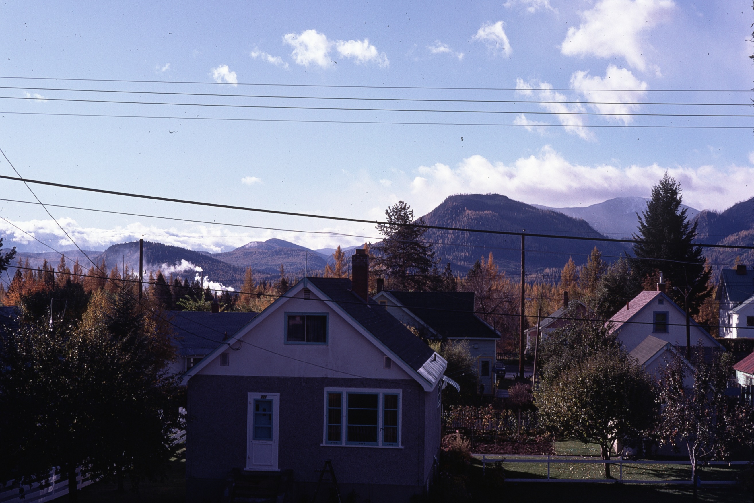
fall view from house

Our humble accommodations in Kimberly BC

Kimberly View

Breakfast view.

Marysville Falls

Marysville Falls 2

CP 8664 South, crossing St Mary's River. Kimberley Sub (April 1972)

Idiots!

Kimberley BC - Trickle Creek colourful skies 3
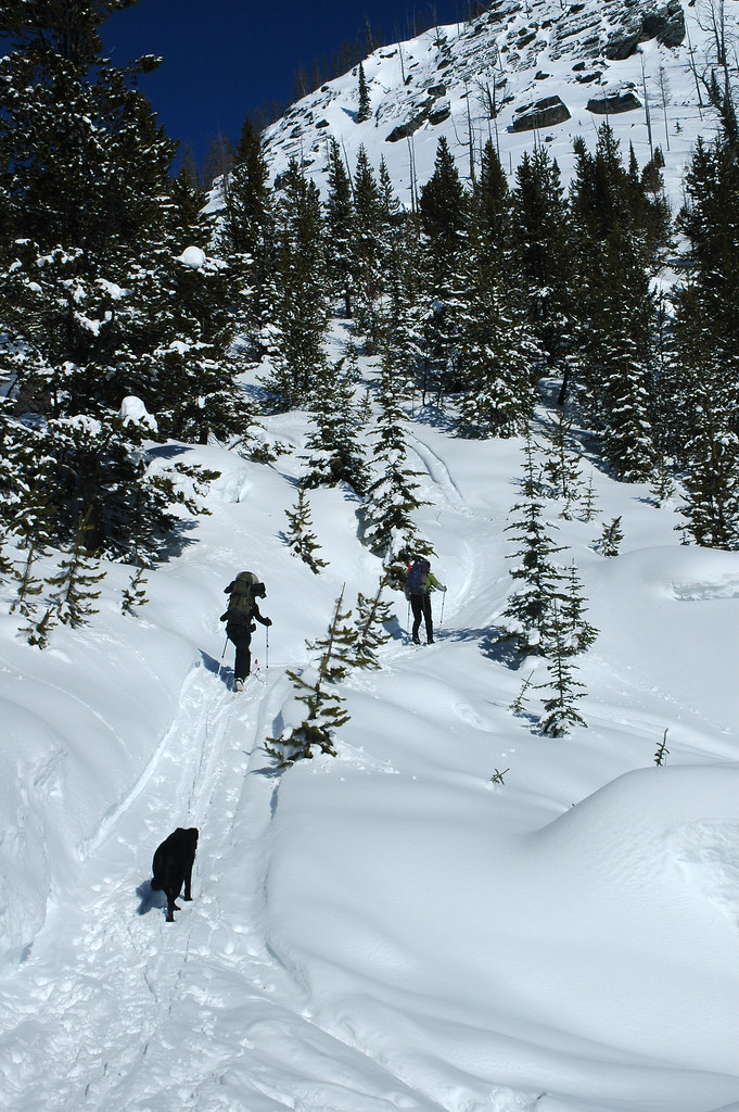
Goin' Up

St. Mary River
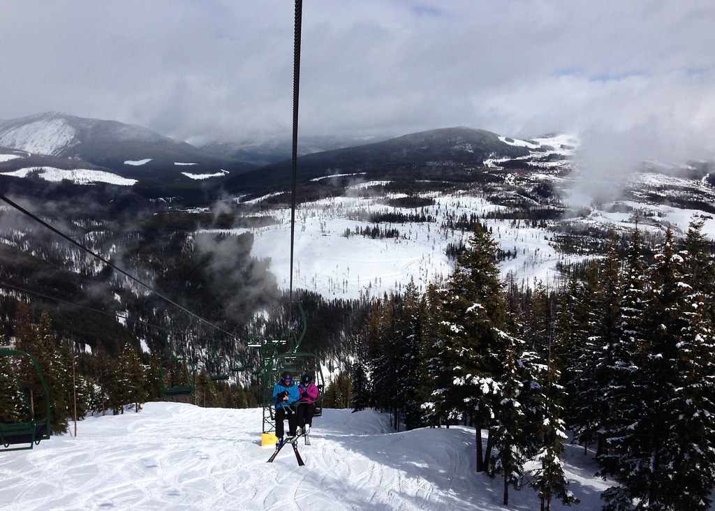
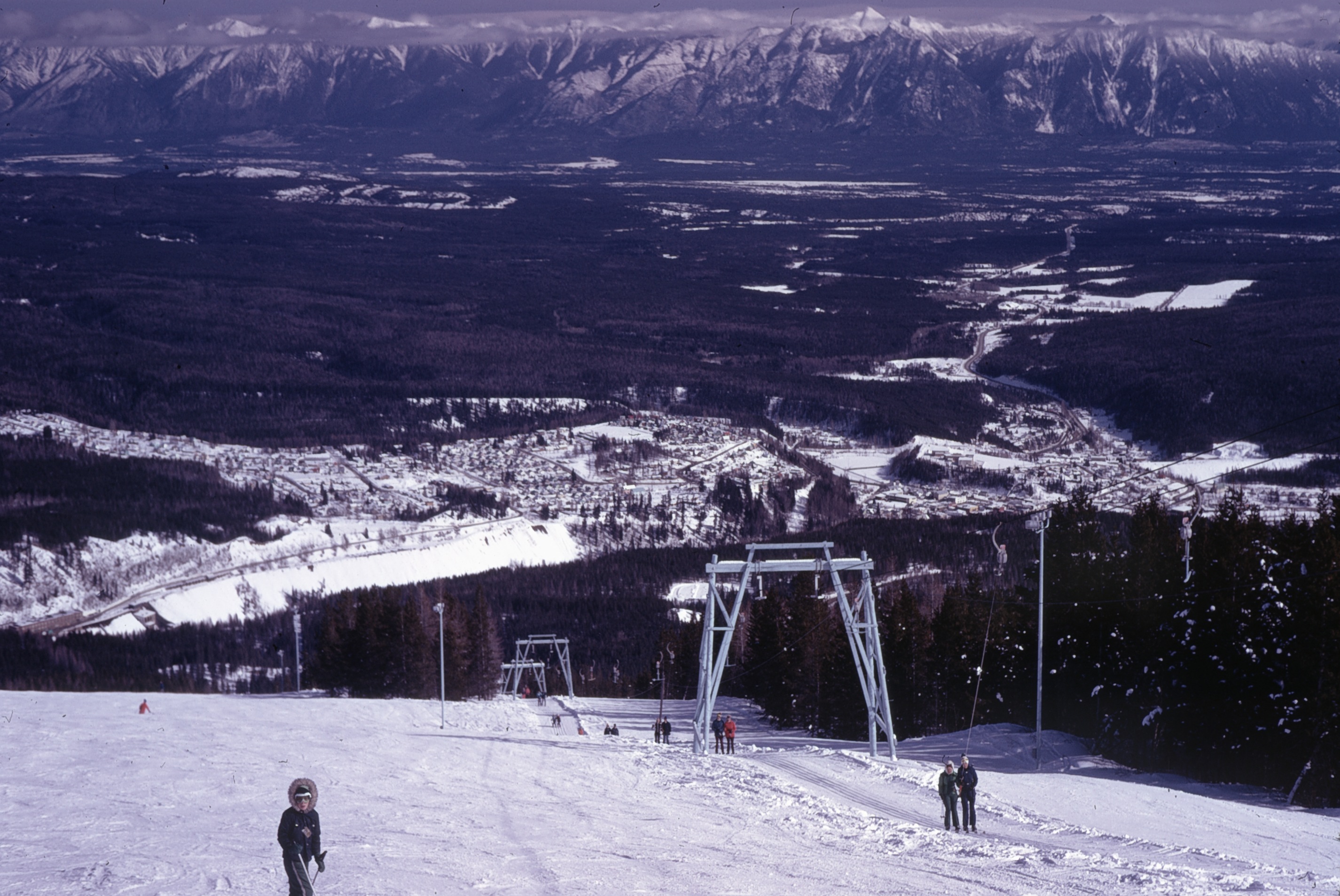
Kimberley chair lift

Kimberley snow

Marysville Falls

Mining the sun in the shadow of the Rocky Mountains

Calvin Second Day Skiing 3

Marysville Upper Falls

Kimberley alpine resort

Doug on Vimy Ridge
NS Hill Rosa and Main from air 1973

Upper Mark Creek Falls
Doug on the Main
Topographic Map of Kimberley Nordic Center, N Star Dr, Kimberley, BC V1A 3E9, Canada
Find elevation by address:

Places near Kimberley Nordic Center, N Star Dr, Kimberley, BC V1A 3E9, Canada:
Trickle Creek Lodge
58 Trickle Ridge Pl
Kimberley
618 6 Ave
129 Norton Ave
425 5 Ave
120 Spokane St
25 5 Ave
Townsite
268 Trail St
Wallinger Ave, Kimberley, BC V1A 1Z5, Canada
Spokane Street
100 Deer Park Ave
255 Hannay St
235 Burdett St
343 Ritchie St
Blarchmont
620 Nelson St
71 Morrison Rd
75 Morrison Rd
Recent Searches:
- Elevation of Côte-des-Neiges, Montreal, QC H4A 3J6, Canada
- Elevation of Bobcat Dr, Helena, MT, USA
- Elevation of Zu den Ihlowbergen, Althüttendorf, Germany
- Elevation of Badaber, Peshawar, Khyber Pakhtunkhwa, Pakistan
- Elevation of SE Heron Loop, Lincoln City, OR, USA
- Elevation of Slanický ostrov, 01 Námestovo, Slovakia
- Elevation of Spaceport America, Co Rd A, Truth or Consequences, NM, USA
- Elevation of Warwick, RI, USA
- Elevation of Fern Rd, Whitmore, CA, USA
- Elevation of 62 Abbey St, Marshfield, MA, USA