Elevation of Hannay St, Kimberley, BC V1A 1W5, Canada
Location: Canada > British Columbia > East Kootenay > Kimberley > Blarchmont >
Longitude: -115.98267
Latitude: 49.6791809
Elevation: 1115m / 3658feet
Barometric Pressure: 89KPa
Elevation Map:
Satellite Map:
Related Photos:

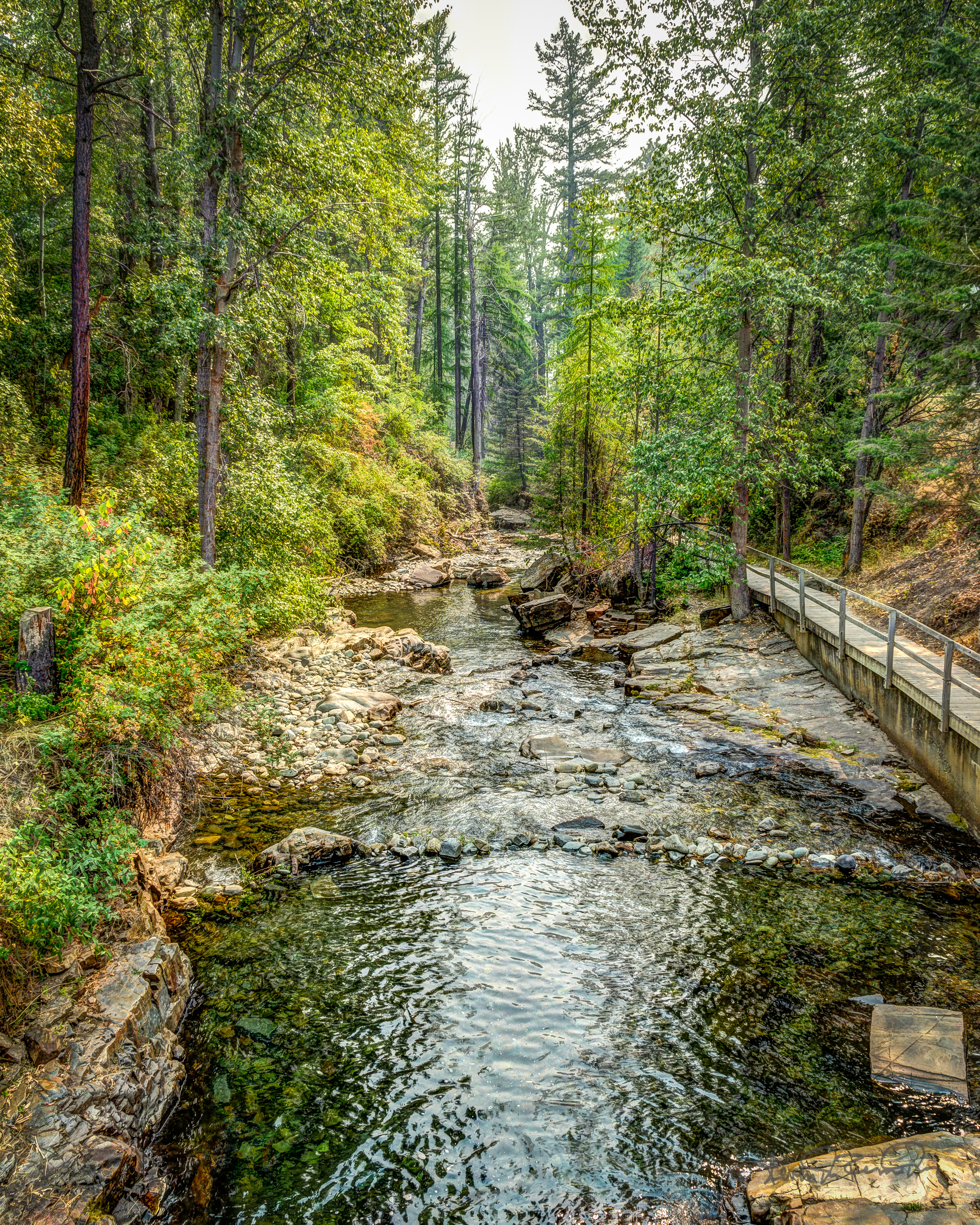
2020 - BC-AB Road Trip - 150 of - Marysville BC - Falls & Eco Park - 4 of 7

Nice view from Kimberley Ski Hill

view NW

view SE

Marysville Falls British Colombia Canada

View up Chair lift

Marysville Falls, BC (Image 1)
Bridge with a View

moonrise before landscaping

View SE from Chair

View E of Steeples from Chair

before landscaping

view from house
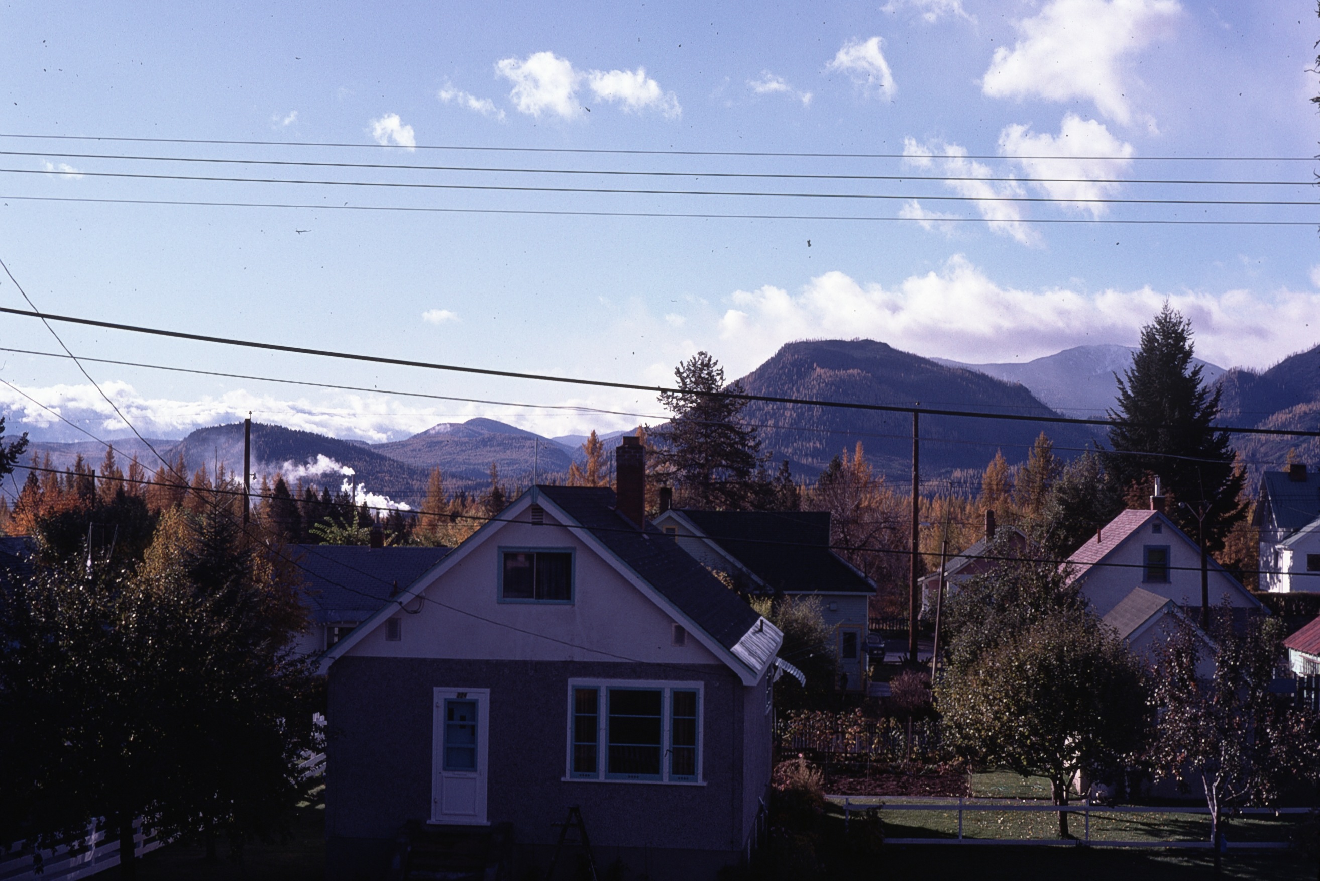
fall view from house

Our humble accommodations in Kimberly BC

The view from my bed!

Kimberly View

Breakfast view.

View from Living Room

Marysville Falls 2
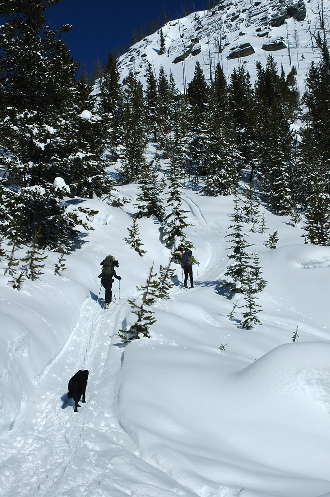
Goin' Up

Mt Fisher panorama Feb 25, 2014

Mt St Helens 1980 ash cloud 2

Mt St Helens 1980 ash cloud 1

Marysville Upper Falls

Upper Mark Creek Falls

excavation 3

trusses on 2

Marysville Falls

Kimberley BC - Trickle Creek colourful skies 3

Lakit Mountain from Clearview Road

CP 8664 South, crossing St Mary's River. Kimberley Sub (April 1972)

St. Mary River
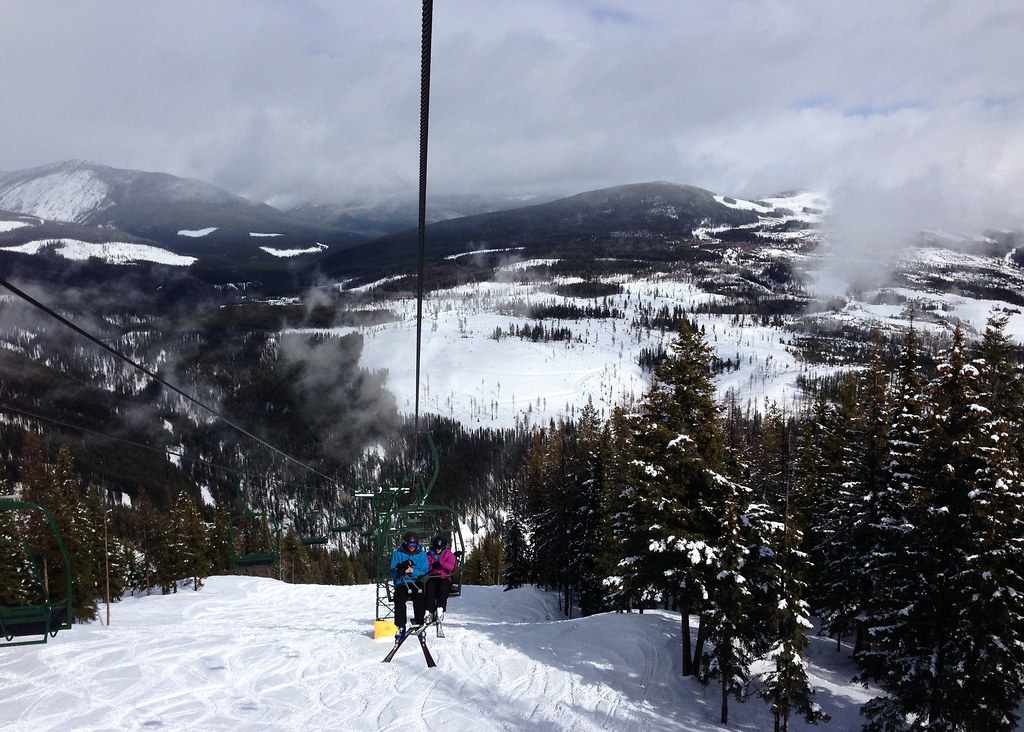
Kimberley chair lift

Lakit Mountain from Clearview Road
Topographic Map of Hannay St, Kimberley, BC V1A 1W5, Canada
Find elevation by address:

Places near Hannay St, Kimberley, BC V1A 1W5, Canada:
235 Burdett St
129 Norton Ave
Wallinger Ave, Kimberley, BC V1A 1Z5, Canada
Blarchmont
Spokane Street
343 Ritchie St
120 Spokane St
100 Deer Park Ave
58 Trickle Ridge Pl
268 Trail St
620 Nelson St
25 5 Ave
425 5 Ave
71 Morrison Rd
Townsite
75 Morrison Rd
79 Morrison Rd
618 6 Ave
Kimberley
Kimberley Nordic Center
Recent Searches:
- Elevation of Congressional Dr, Stevensville, MD, USA
- Elevation of Bellview Rd, McLean, VA, USA
- Elevation of Stage Island Rd, Chatham, MA, USA
- Elevation of Shibuya Scramble Crossing, 21 Udagawacho, Shibuya City, Tokyo -, Japan
- Elevation of Jadagoniai, Kaunas District Municipality, Lithuania
- Elevation of Pagonija rock, Kranto 7-oji g. 8"N, Kaunas, Lithuania
- Elevation of Co Rd 87, Jamestown, CO, USA
- Elevation of Tenjo, Cundinamarca, Colombia
- Elevation of Côte-des-Neiges, Montreal, QC H4A 3J6, Canada
- Elevation of Bobcat Dr, Helena, MT, USA