Elevation of Kheda, Gujarat, India
Location: India > Gujarat > Kheda >
Longitude: 72.6846658
Latitude: 22.750651
Elevation: 34m / 112feet
Barometric Pressure: 101KPa
Elevation Map:
Satellite Map:
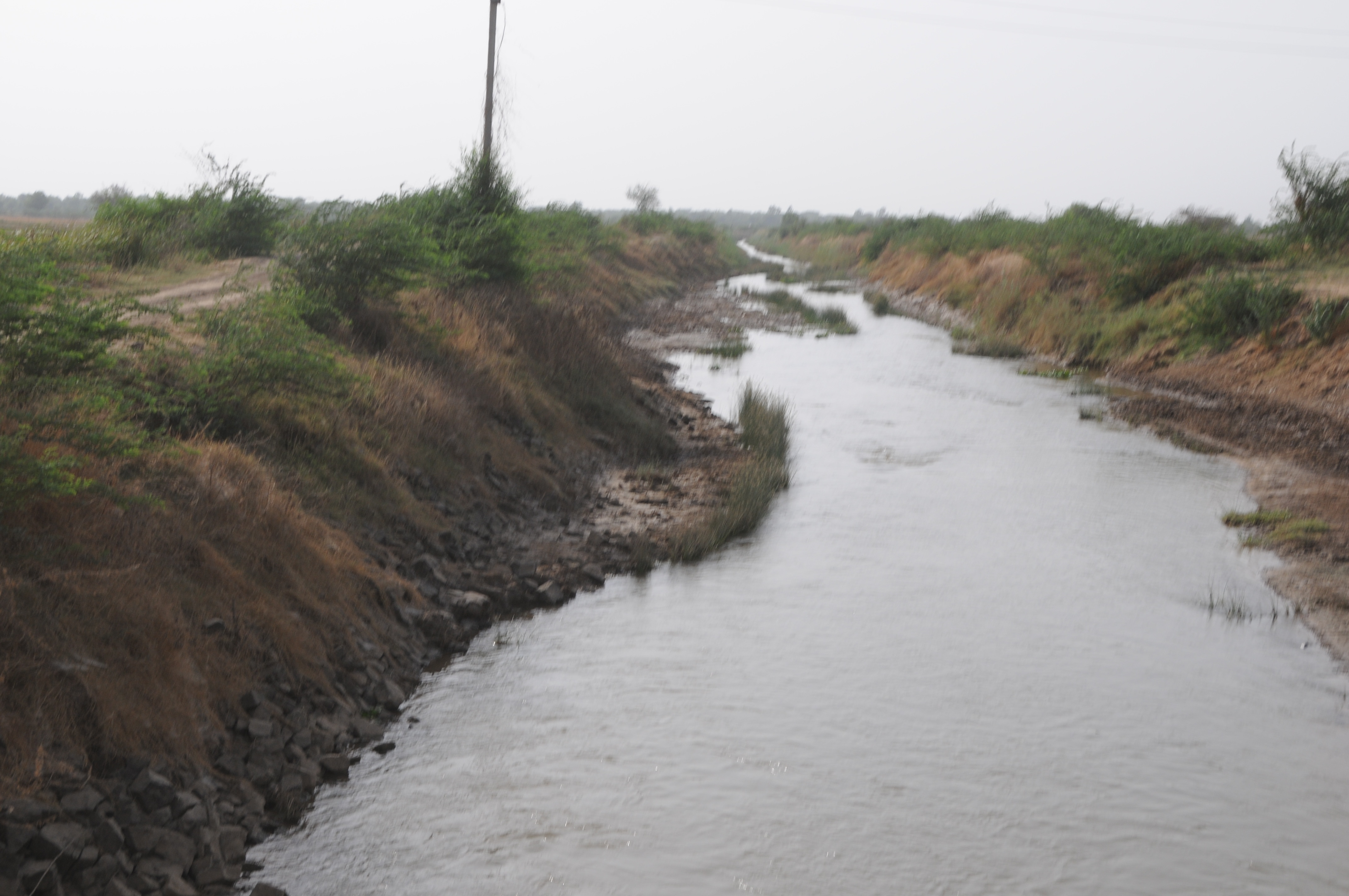
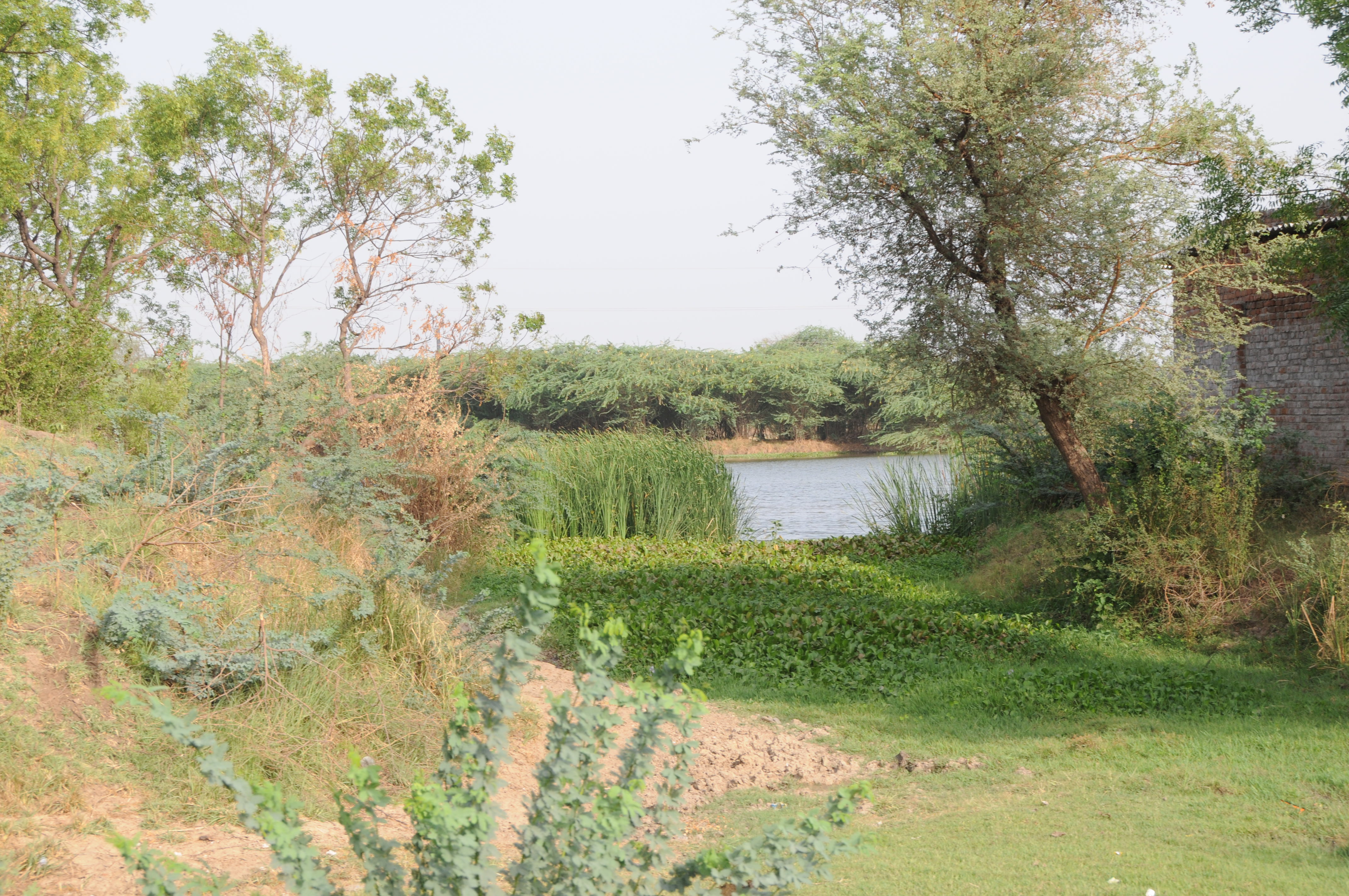
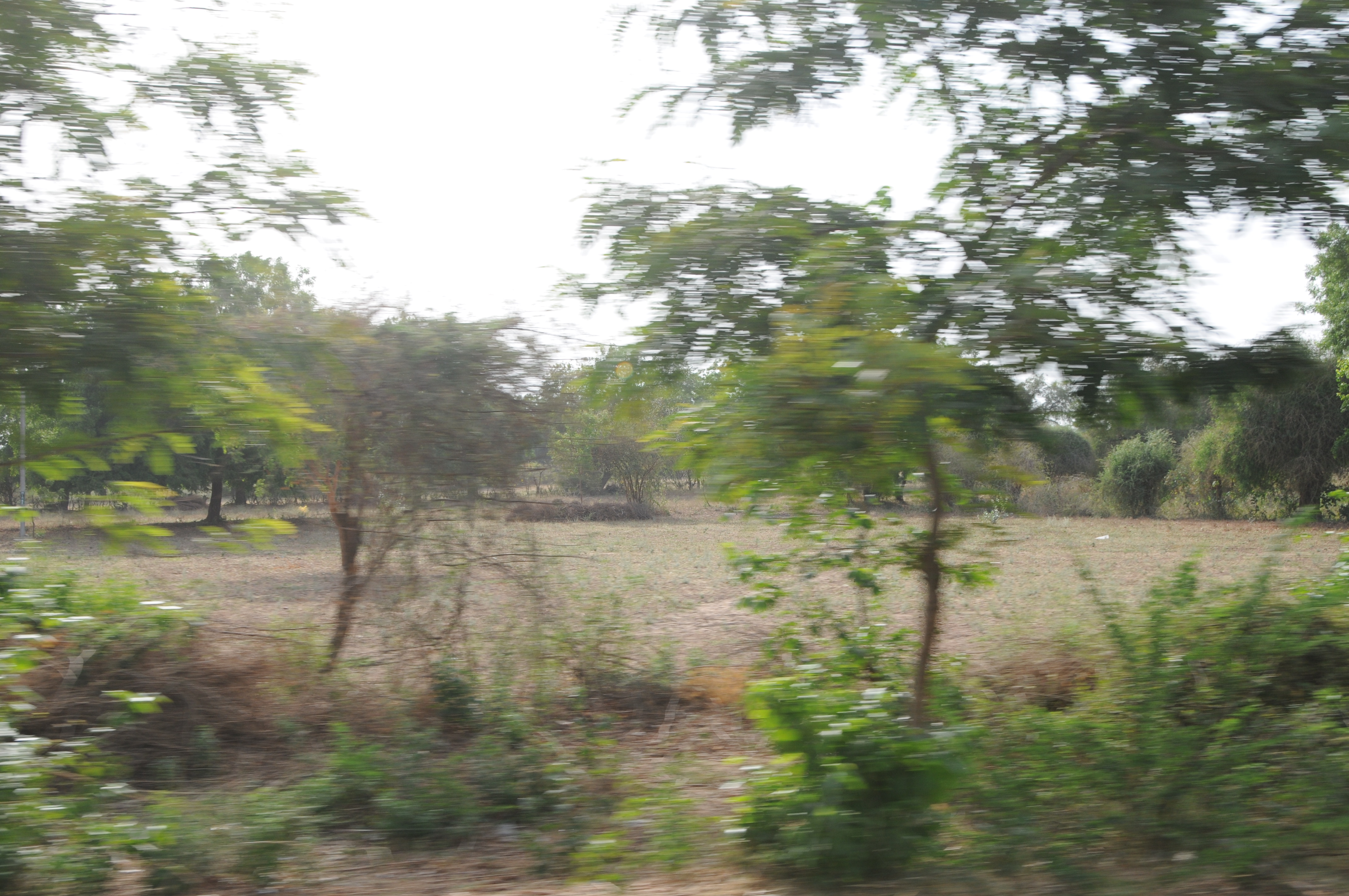
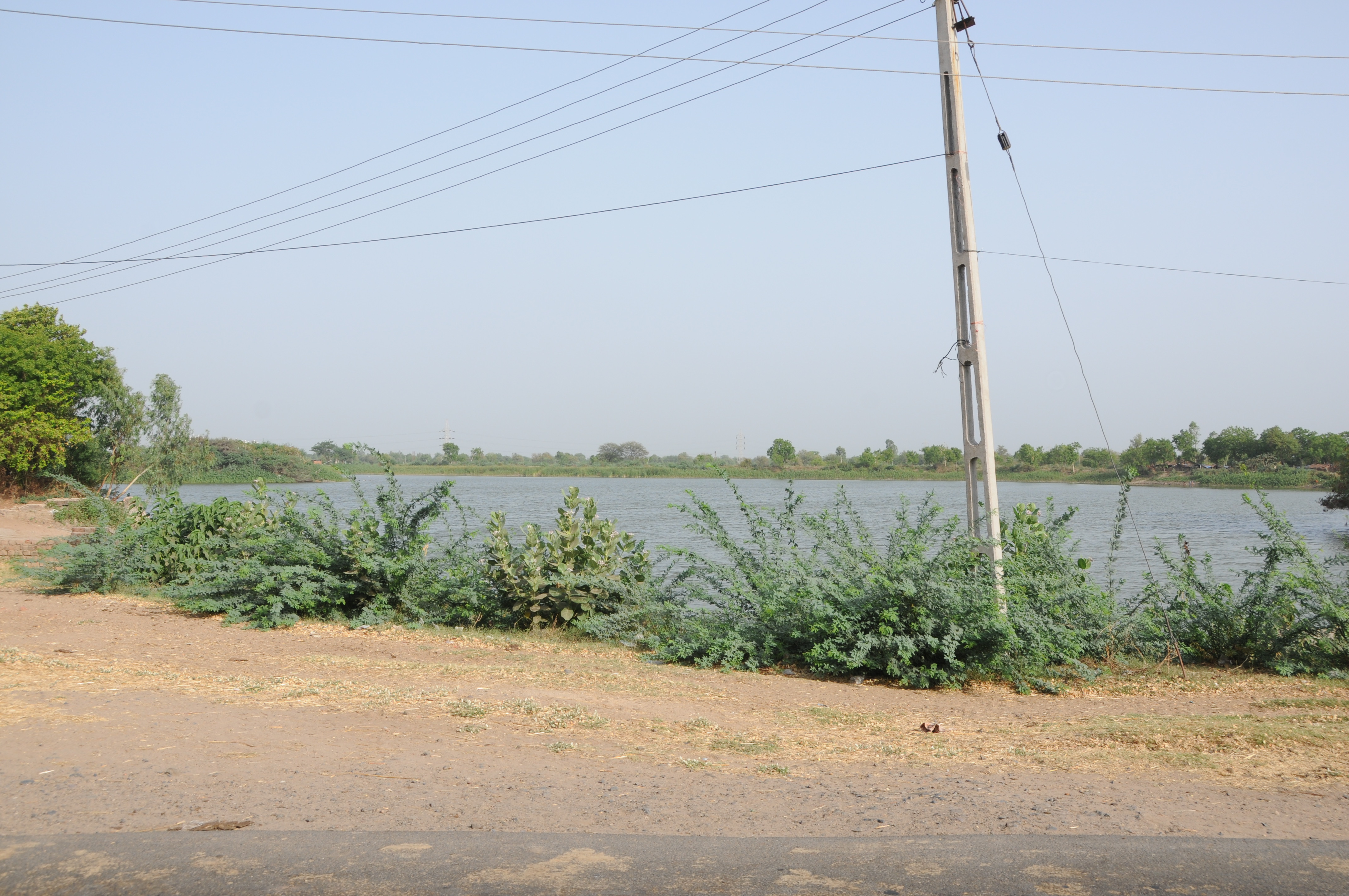
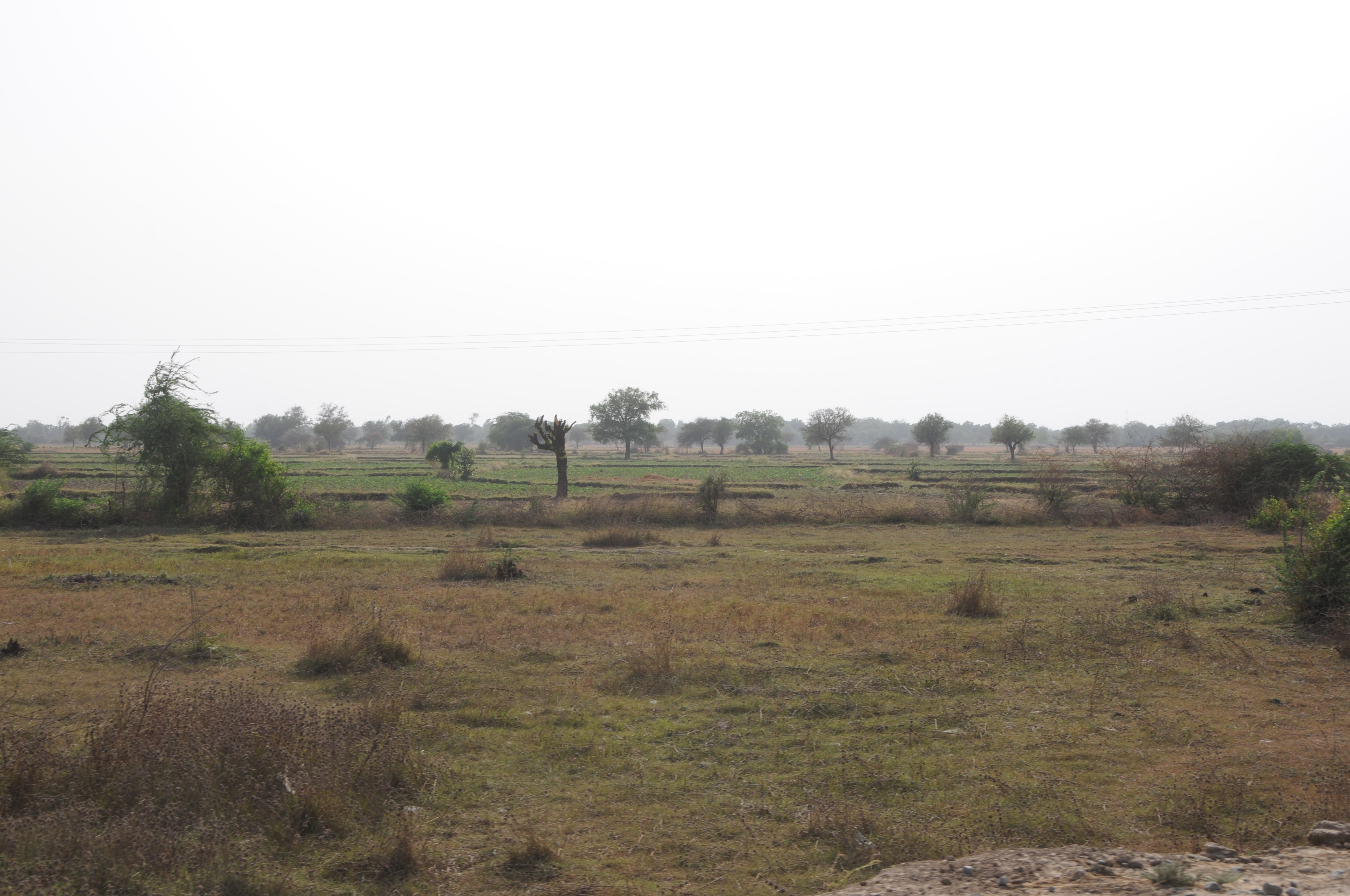
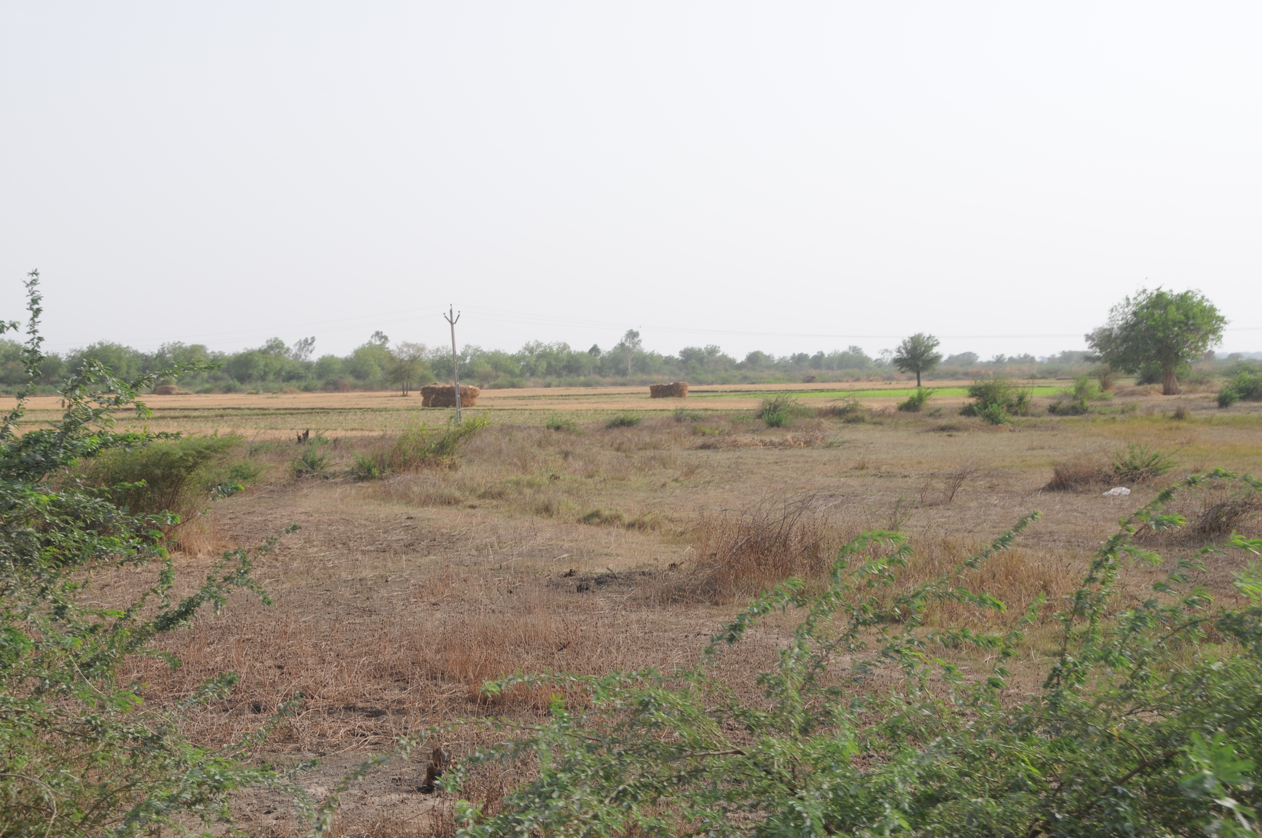
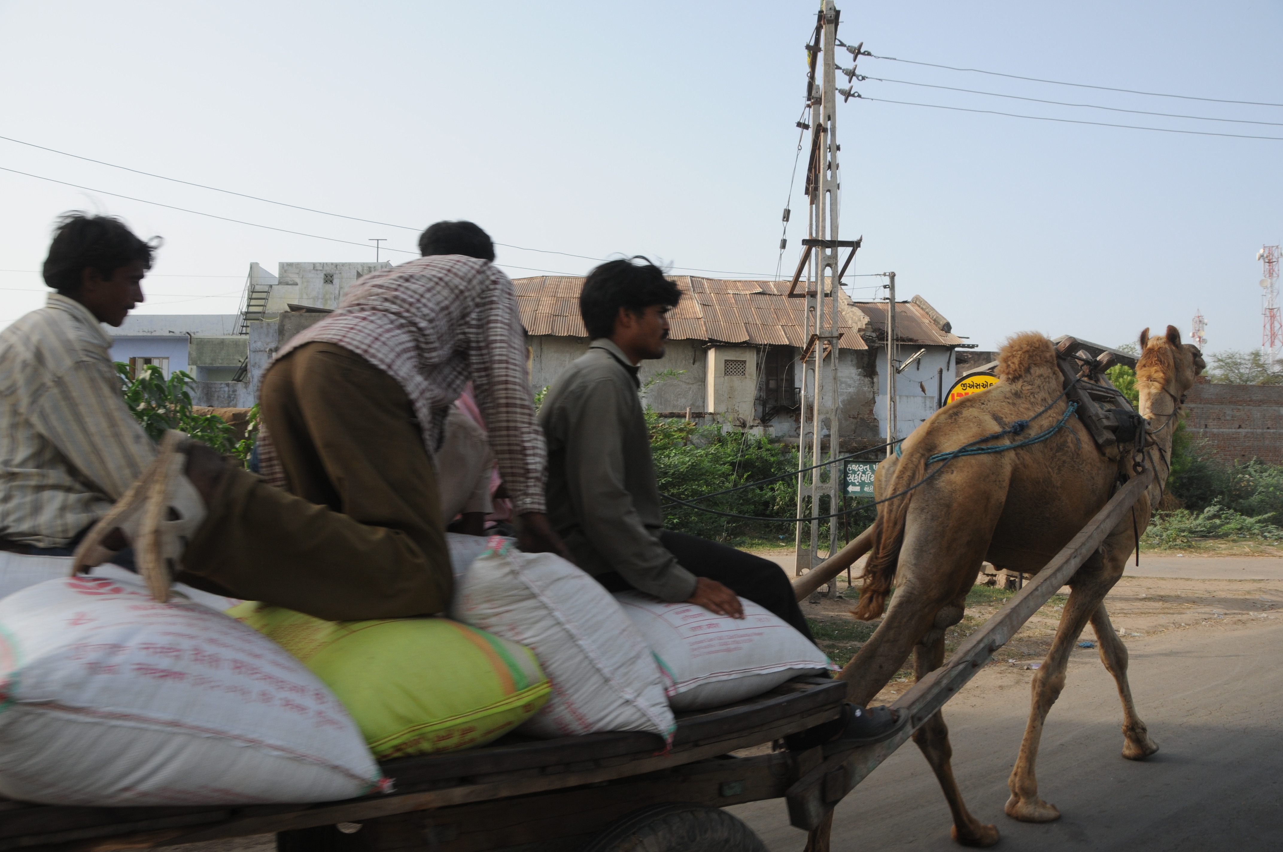
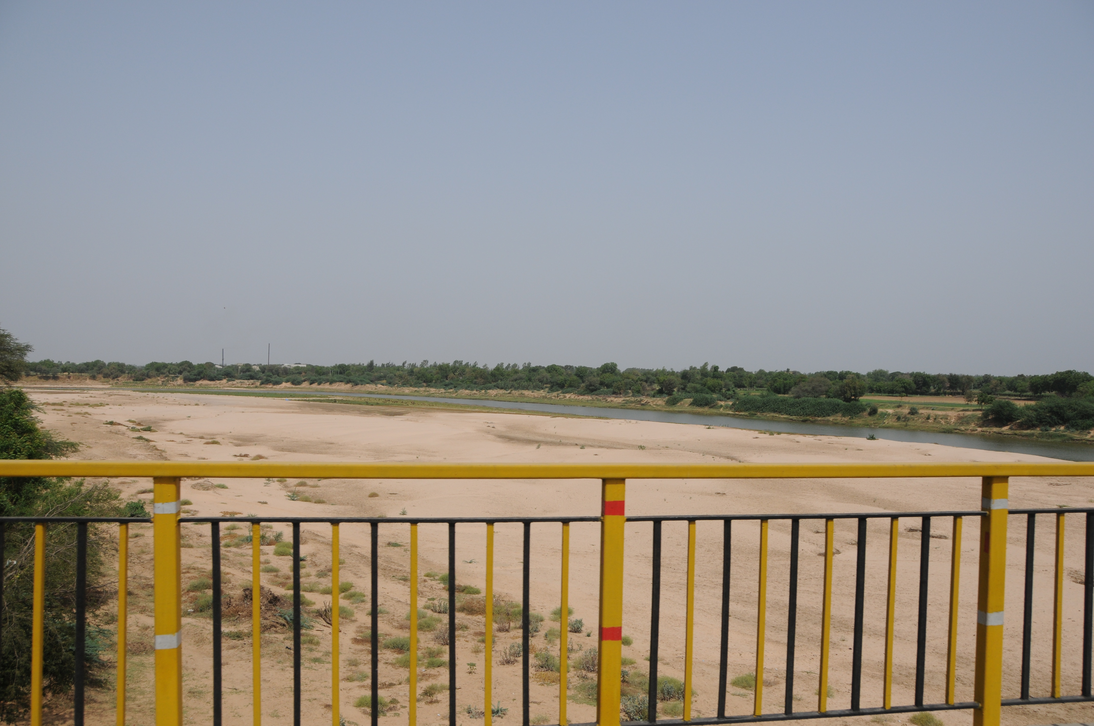
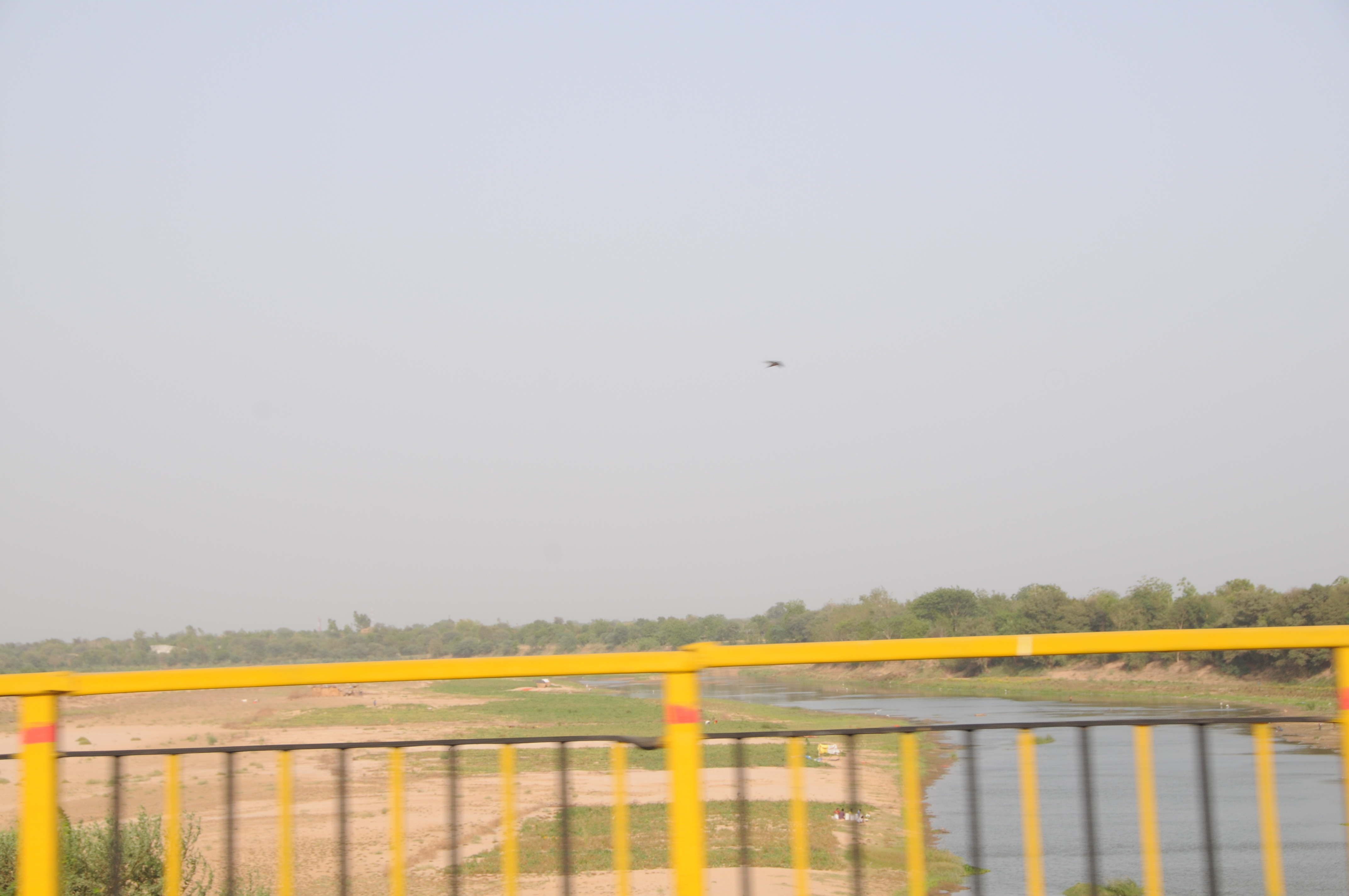
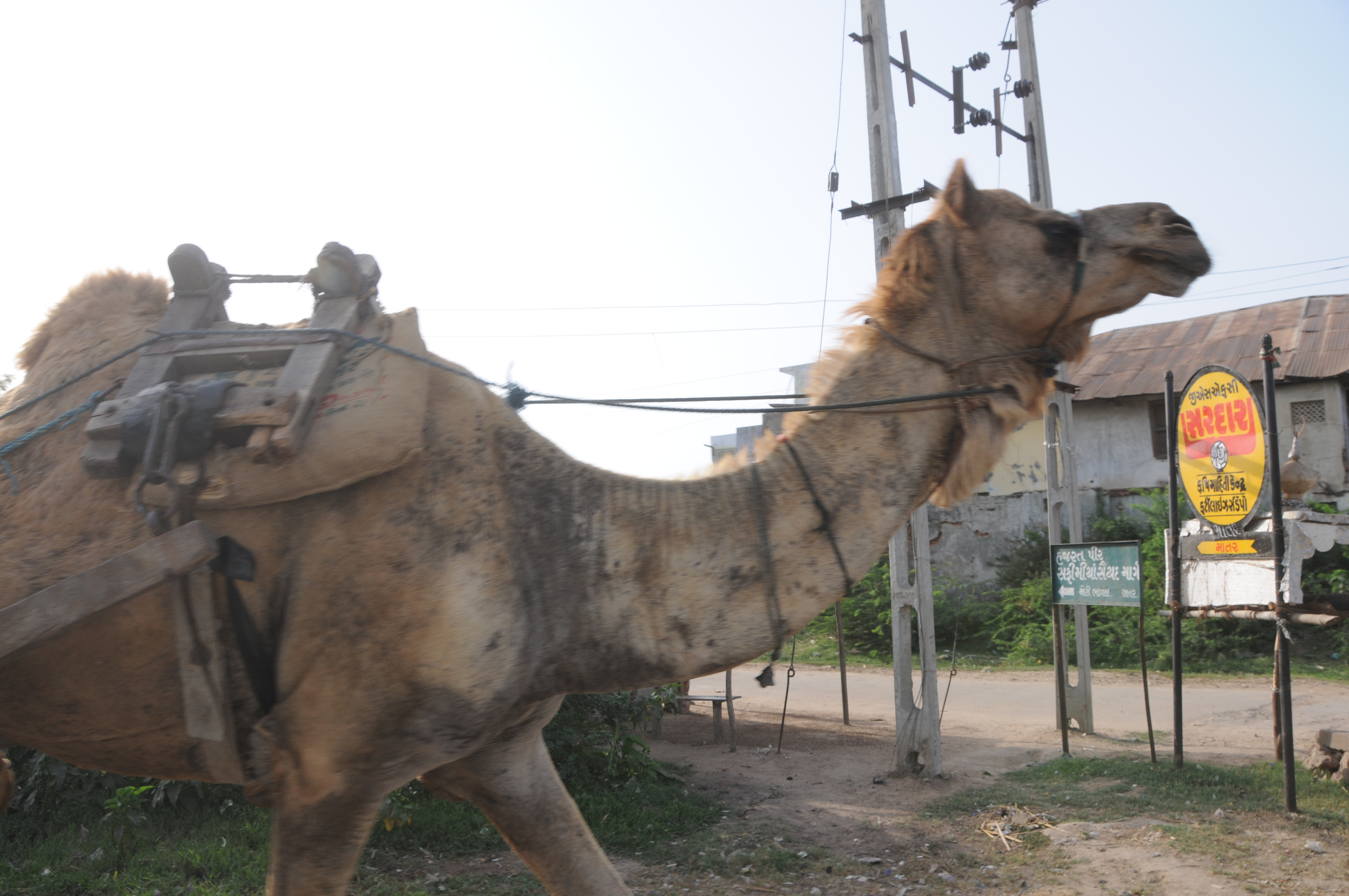
Related Photos:
CSP_6821.JPG
CSP_6816.JPG
CSP_6824.JPG
CSP_6813.JPG
CSP_6817.JPG
CSP_6825.JPG
CSP_6822.JPG
CSP_6814.JPG
CSP_6815.JPG
CSP_6823.JPG
CSP_6819.JPG
CSP_6818.JPG
CSP_6826.JPG
CSP_6715.JPG
CSP_6839.JPG

CSP_6725.JPG
CSP_6827.JPG
CSP_6842.JPG
CSP_6834.JPG
CSP_6830.JPG
CSP_6727.JPG
CSP_6831.JPG
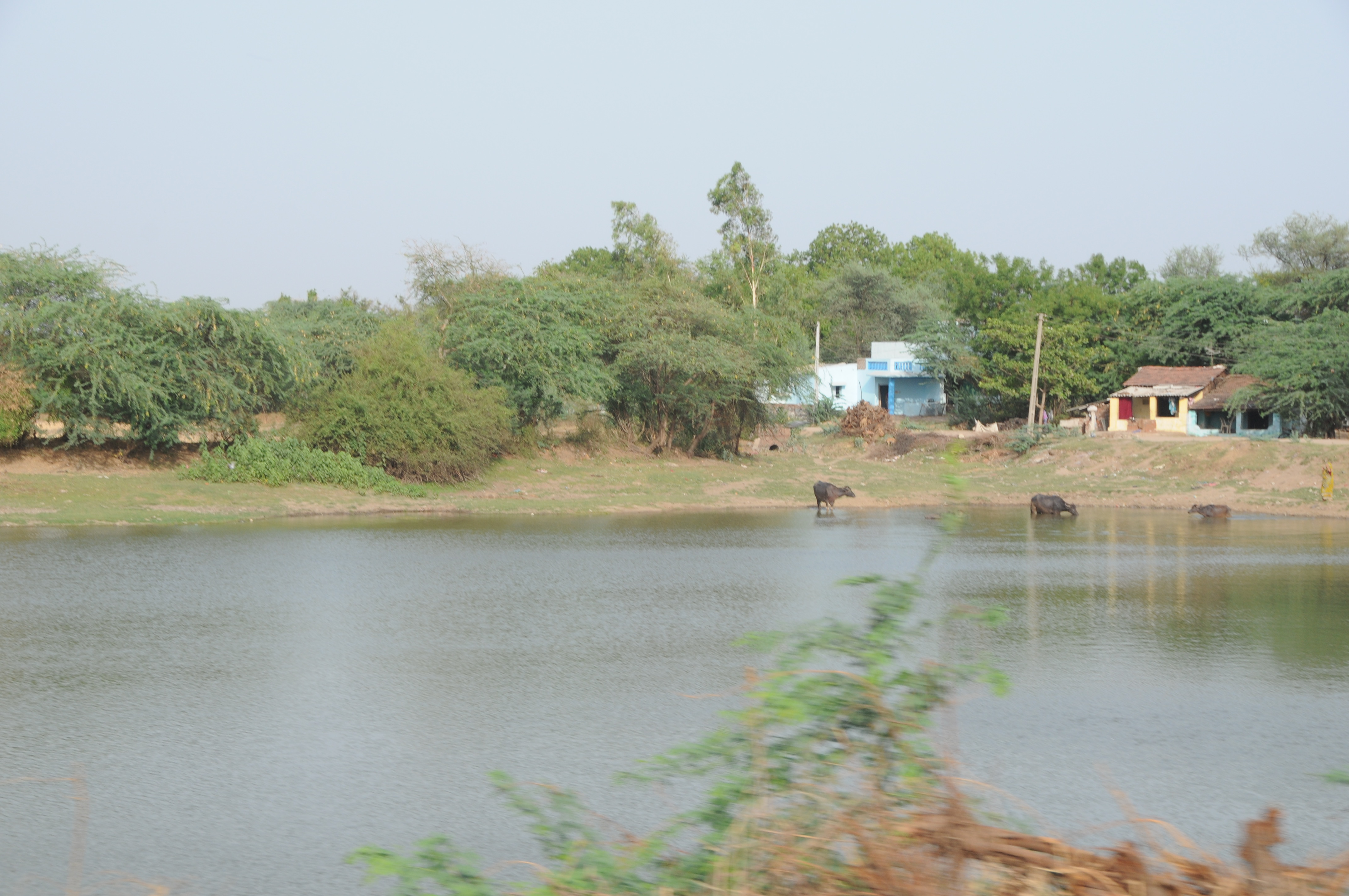
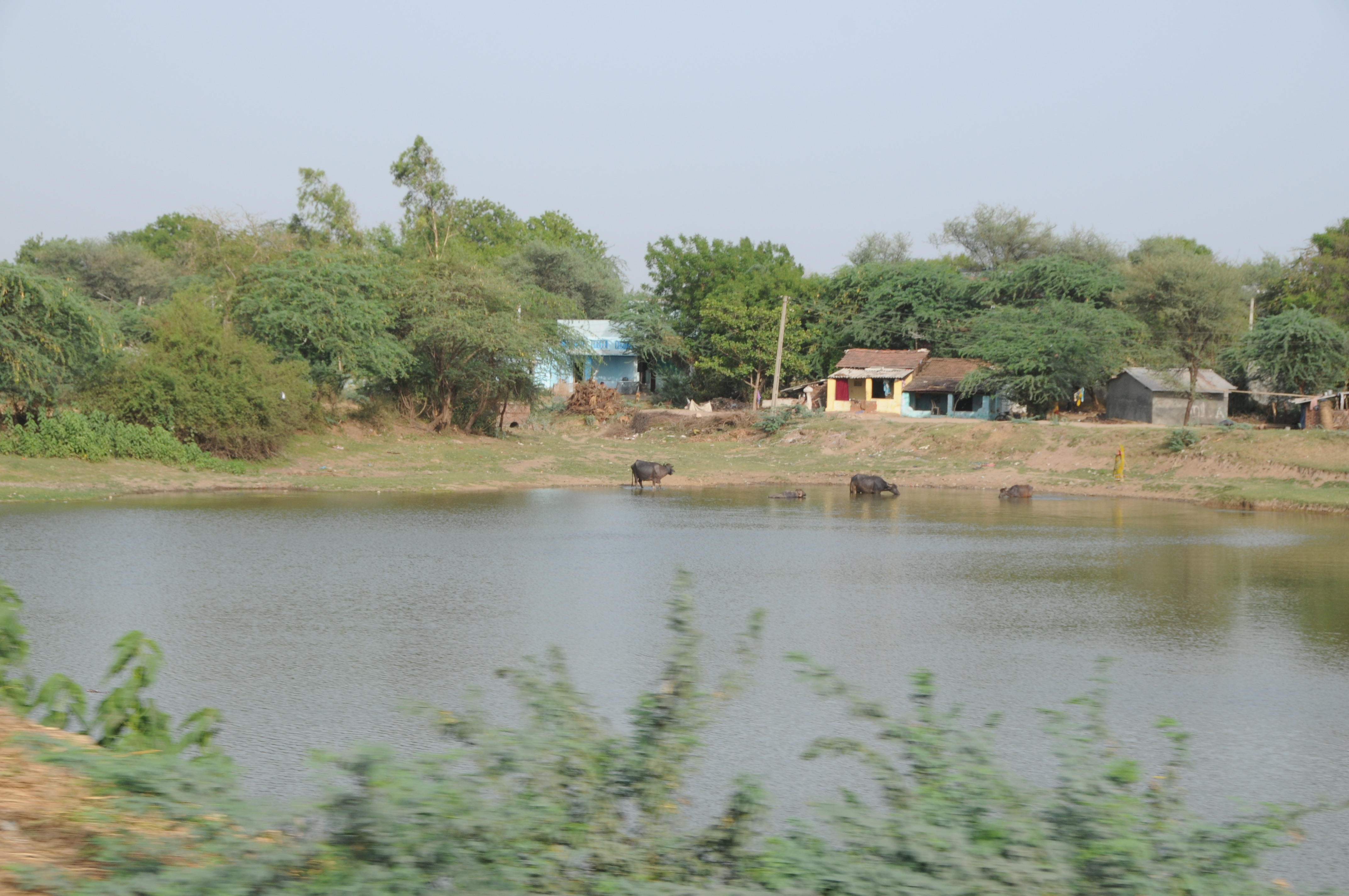
Lake of Khadiyarapura (KP)
Topographic Map of Kheda, Gujarat, India
Find elevation by address:

Places near Kheda, Gujarat, India:
Nadiad
Paldi
Kujad
Kanbha-kujad Old Bridge
Kanbha Gurukul
Kanbha
Kankaria Lake
Ahmedabad Railway Station
Ahmedabad Railway Station
Ahmedabad Railway Station
Ahmedabad
Ahmedabad
Kalyan Society, Maharashtra Society
Mahatma Gandhi International School
Anand
Bemanagar
Karnavati Club
Sardar Vallabhbhai Patel International Airport
Bodakdev
Cee Ahmedabad
Recent Searches:
- Elevation of Hobbyhorse Ct, Dover, DE, USA
- Elevation of Horseshoe Ln, Dahlonega, GA, USA
- Elevation of Village Point Dr, Daphne, AL, USA
- Elevation map of Kabardino-Balkarian Republic, Russia
- Elevation of Tyrnyauz, Kabardino-Balkarian Republic, Russia
- Elevation of Sunset Dr, Hernando, MS, USA
- Elevation of Lake Rotoroa, Tasman, New Zealand
- Elevation of George St, New Bern, NC, USA
- Elevation of Cove Rd, Jasper, GA, USA
- Elevation of Cove Rd, Jasper, GA, USA