Elevation of Anand, Gujarat, India
Location: India > Gujarat > Anand >
Longitude: 72.928871
Latitude: 22.5645175
Elevation: 40m / 131feet
Barometric Pressure: 101KPa
Elevation Map:
Satellite Map:
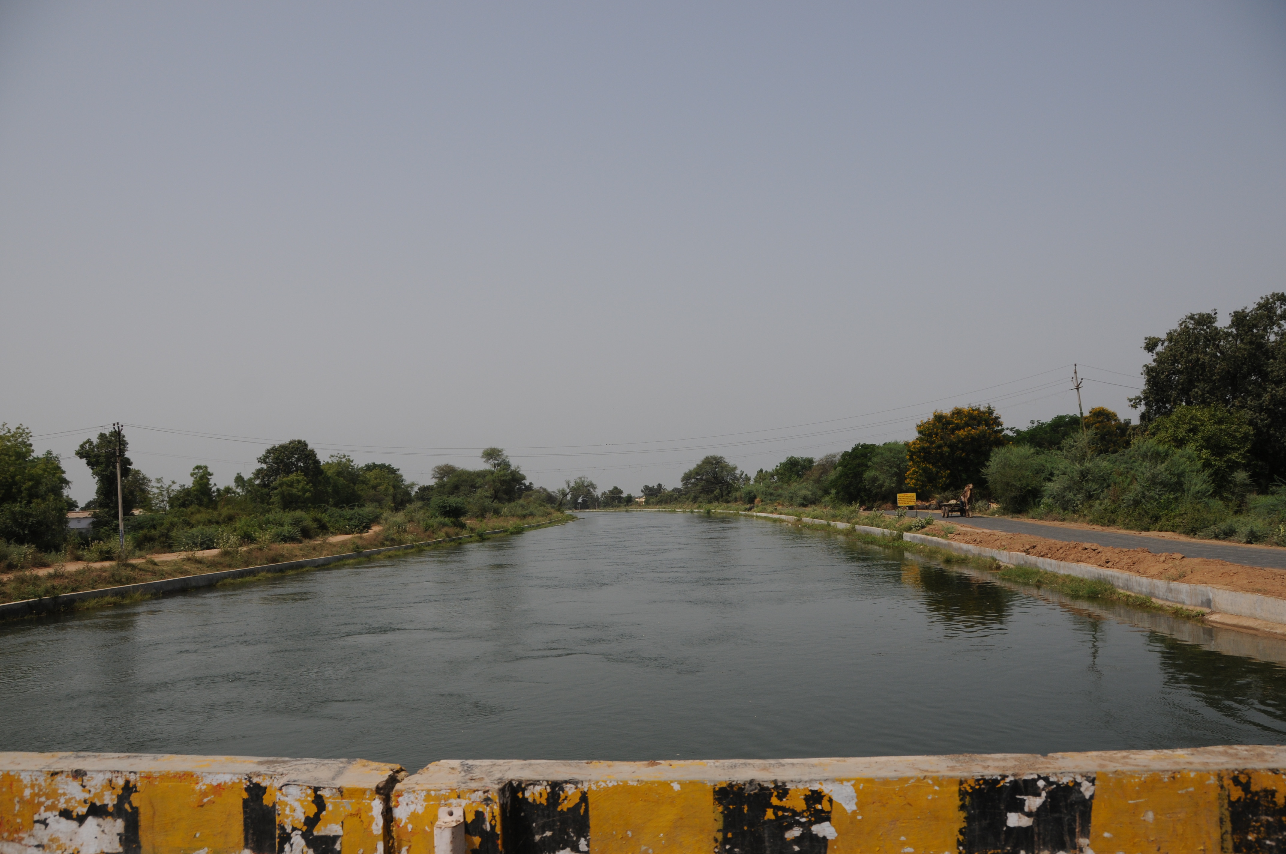
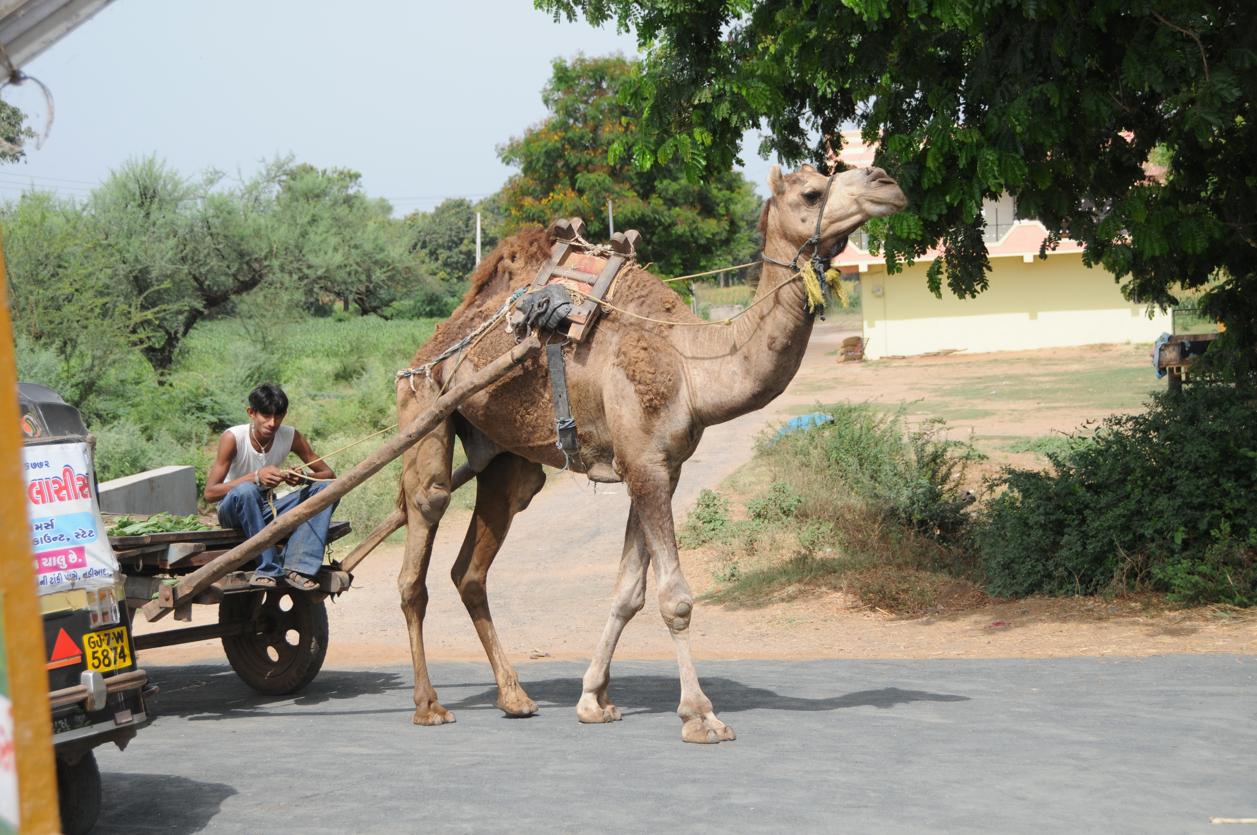
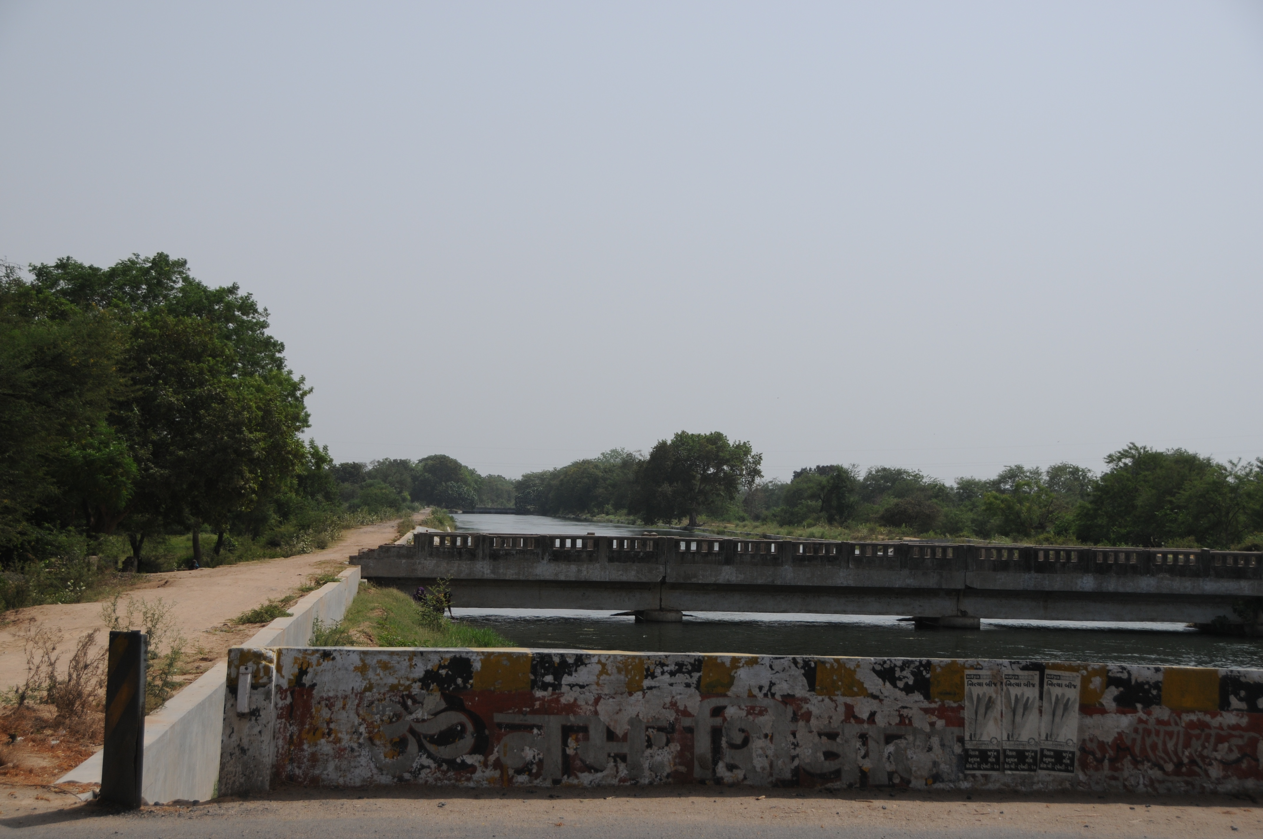
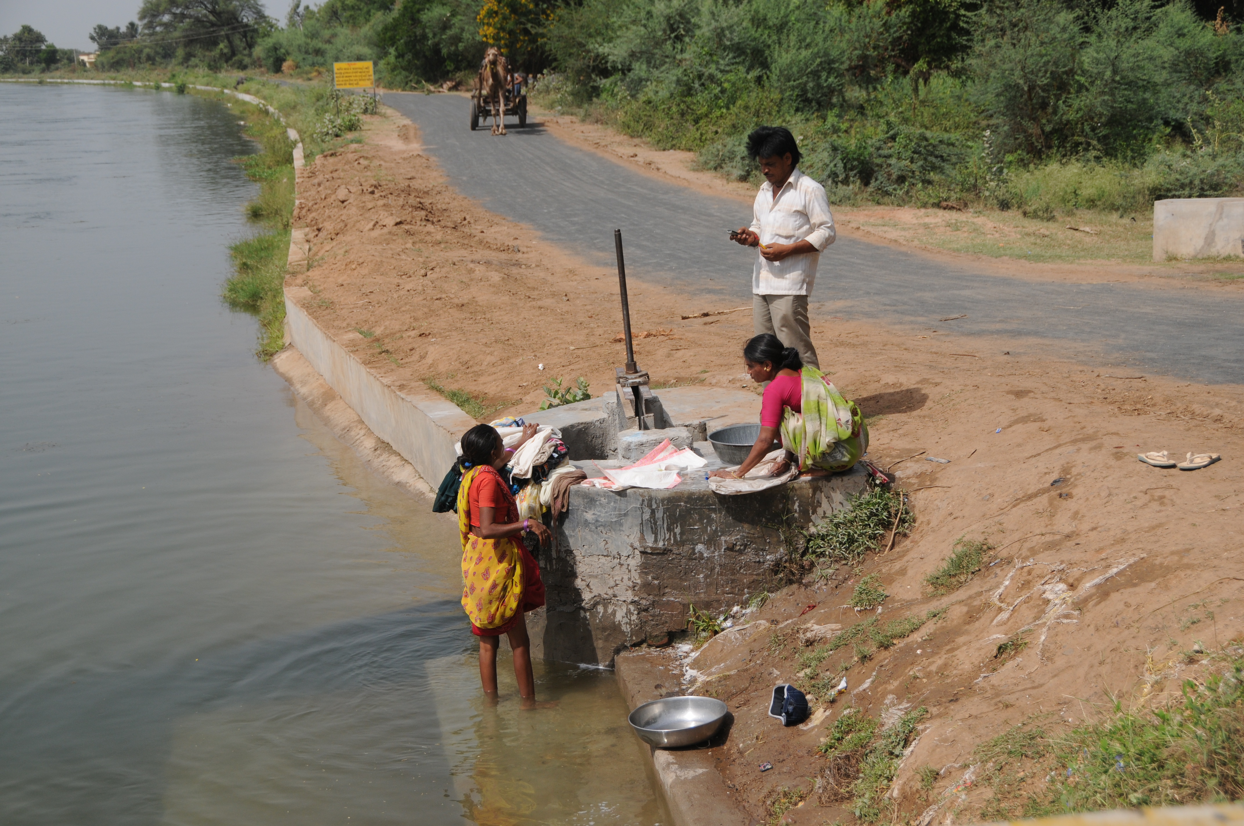
Related Photos:

Colorful View #NoteEdge
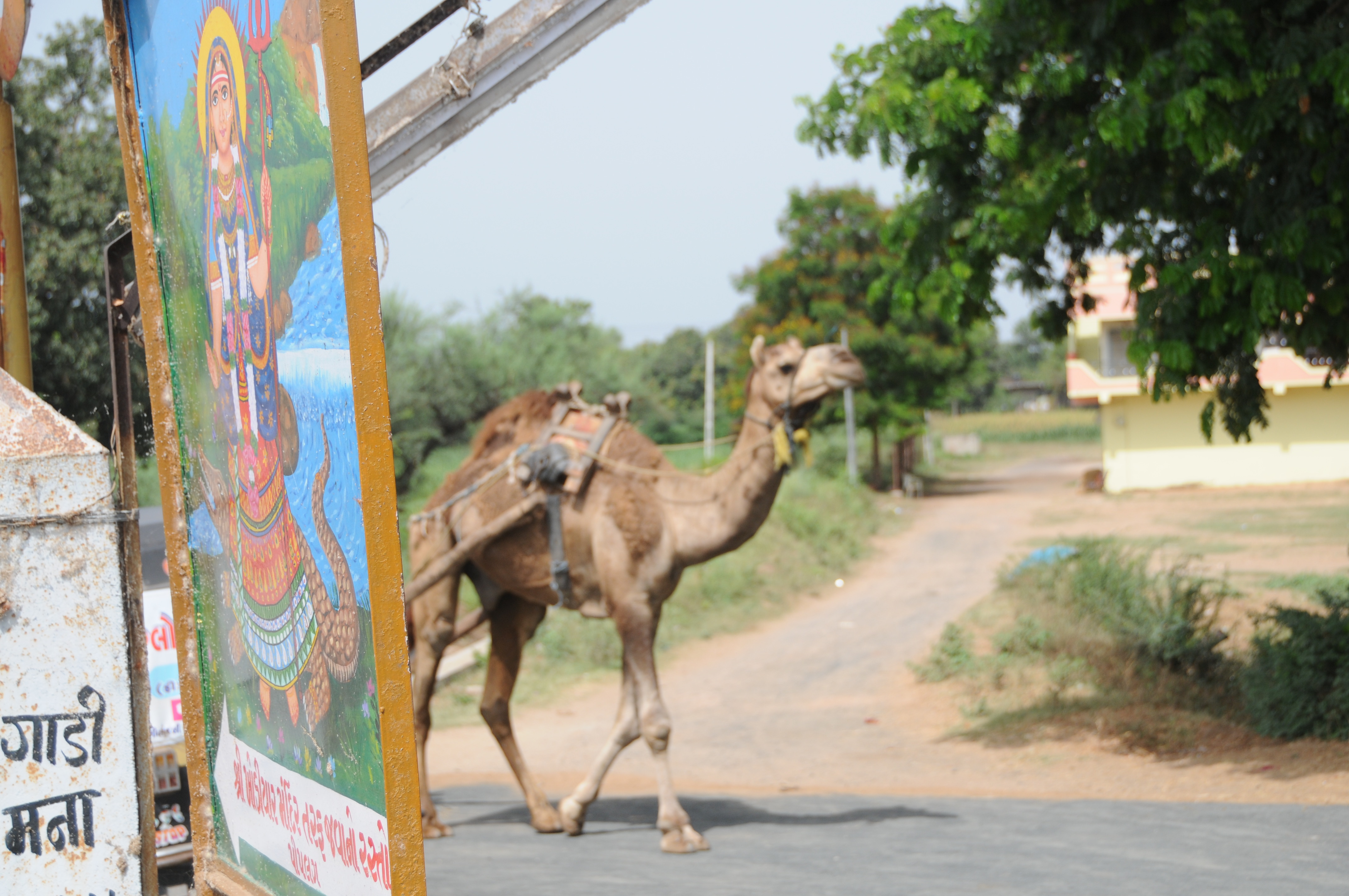
CSP_6704.JPG

CSP_6703.JPG
CSP_6698.JPG
CSP_6705.JPG
CSP_6702.JPG
CSP_6700.JPG
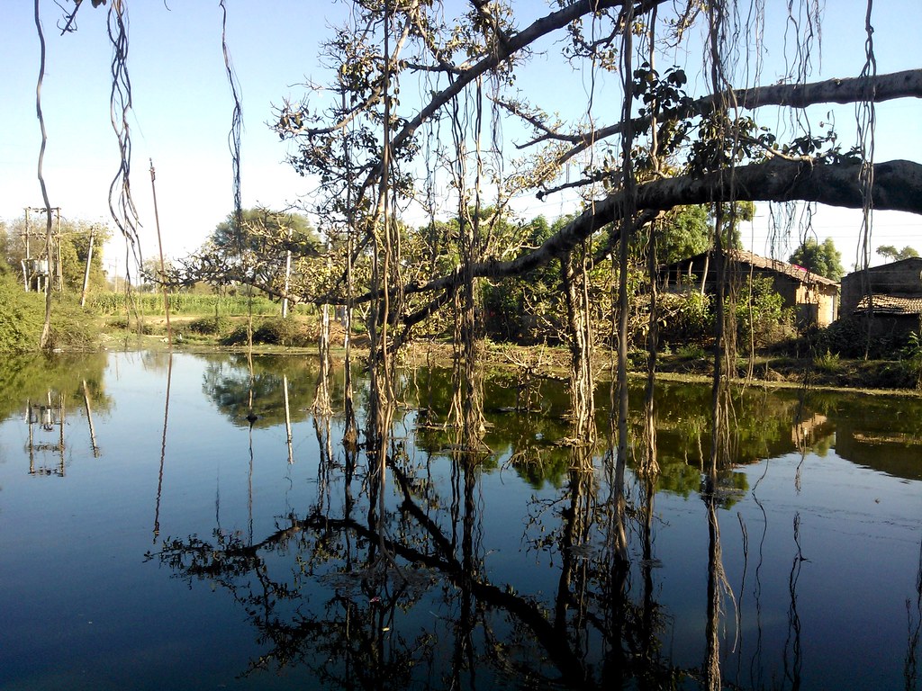
reflection all over
pintu-16
###
Topographic Map of Anand, Gujarat, India
Find elevation by address:

Places near Anand, Gujarat, India:
Nadiad
Umreth
Kheda
Kheda
Kujad
Kanbha-kujad Old Bridge
Kanbha Gurukul
Kanbha
Paldi
Kankaria Lake
Ahmedabad Railway Station
Ahmedabad Railway Station
Ahmedabad Railway Station
Ahmedabad
Ahmedabad
Mahatma Gandhi International School
Kalyan Society, Maharashtra Society
Sardar Vallabhbhai Patel International Airport
Bemanagar
Hansol
Recent Searches:
- Elevation of Falling Spring Rd, Clyde, NC, USA
- Elevation of Kingsfield St, Castle Rock, CO, USA
- Elevation of AMELIA CT HSE, VA, USA
- Elevation of Abbey Dr, Virginia Beach, VA, USA
- Elevation of Brooks Lp, Spearfish, SD, USA
- Elevation of Panther Dr, Maggie Valley, NC, USA
- Elevation of Jais St - Wadi Shehah - Ras al Khaimah - United Arab Emirates
- Elevation of Shawnee Avenue, Shawnee Ave, Easton, PA, USA
- Elevation of Scenic Shore Dr, Kingwood Area, TX, USA
- Elevation of W Prive Cir, Delray Beach, FL, USA