Elevation of Khanapur, Karnataka, India
Location: India > Karnataka > Belagavi >
Longitude: 74.5170319
Latitude: 15.6406634
Elevation: 650m / 2133feet
Barometric Pressure: 94KPa
Elevation Map:
Satellite Map:
Related Photos:

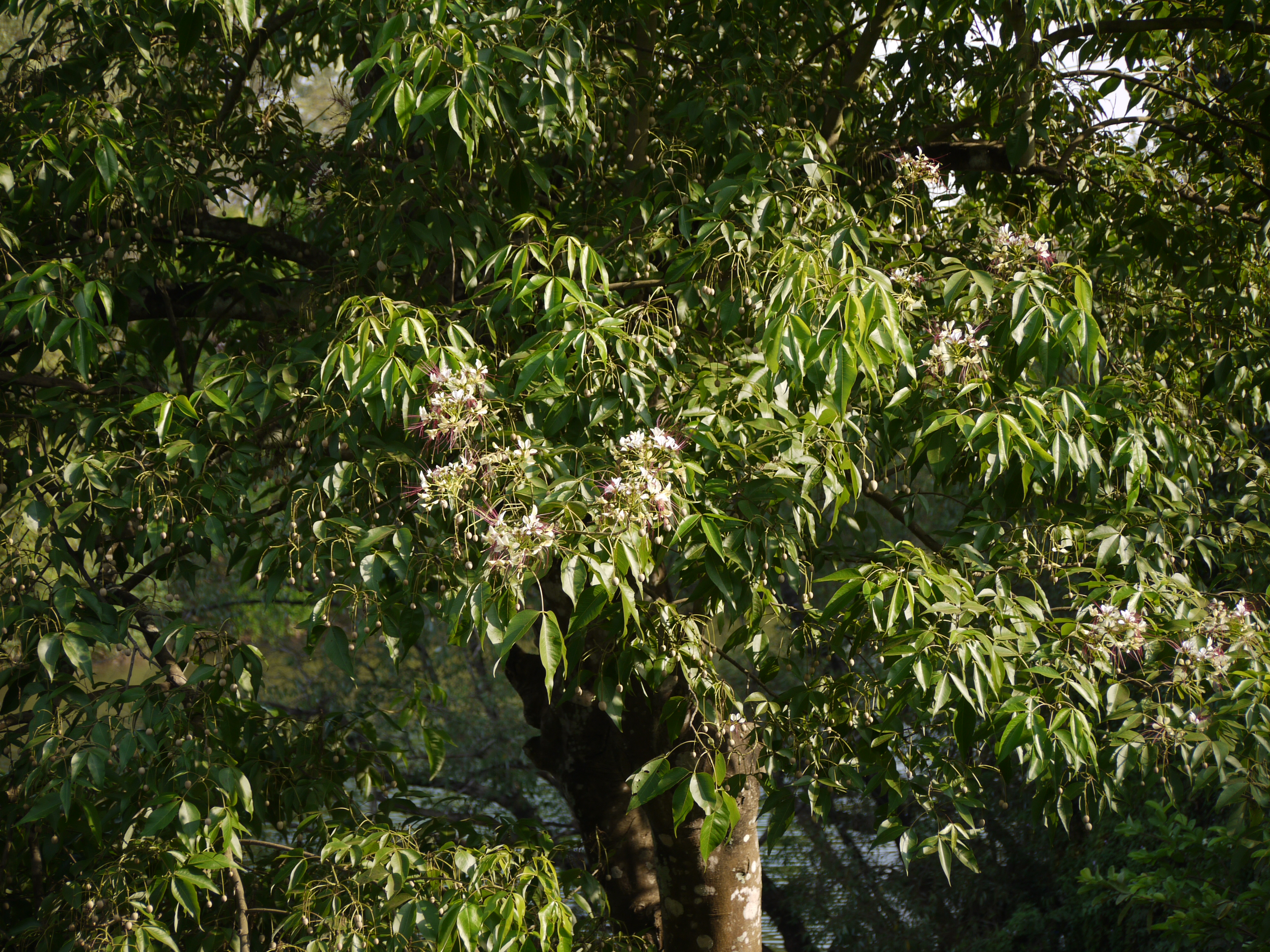
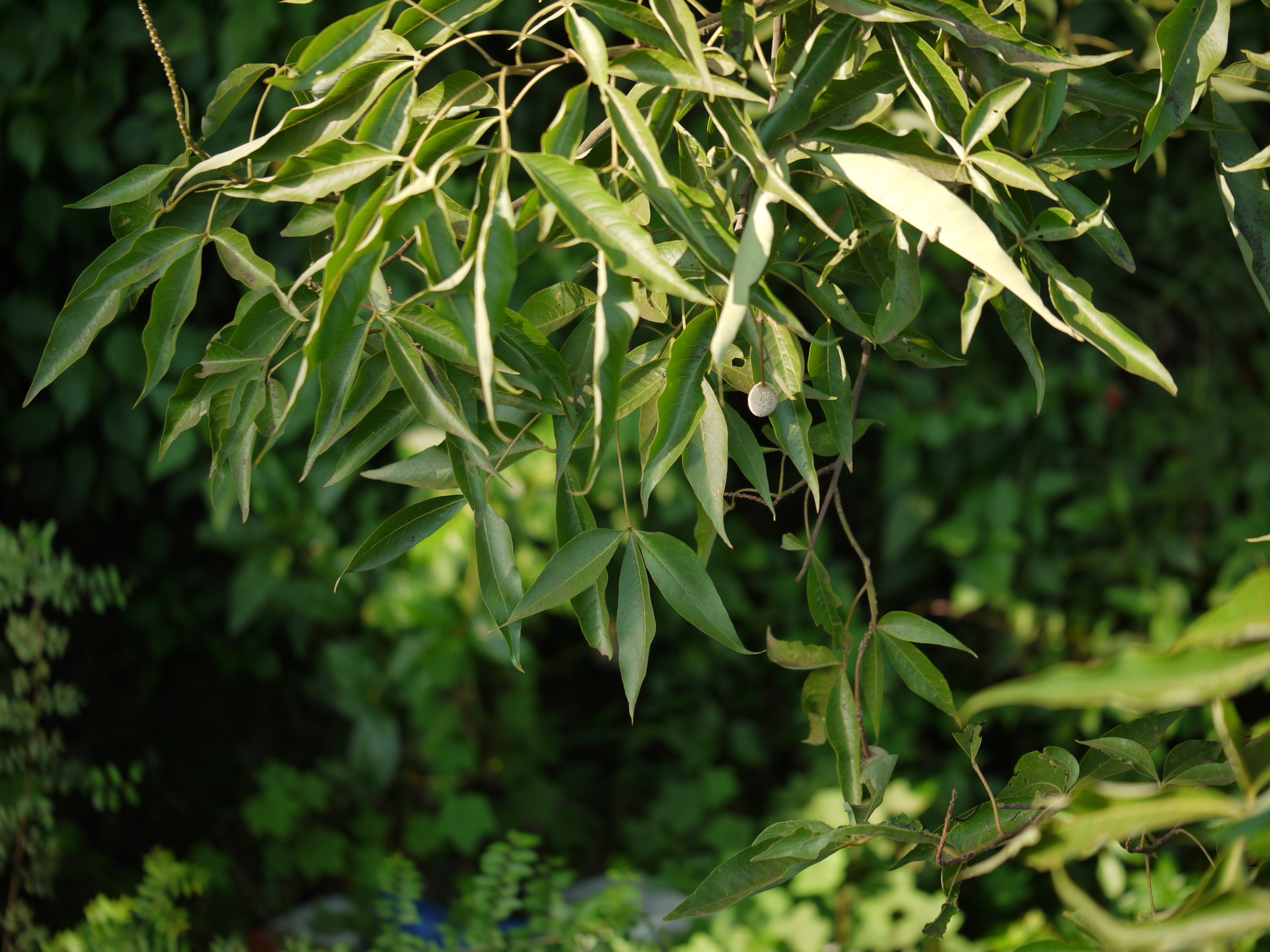
Crateva adansonii DC.
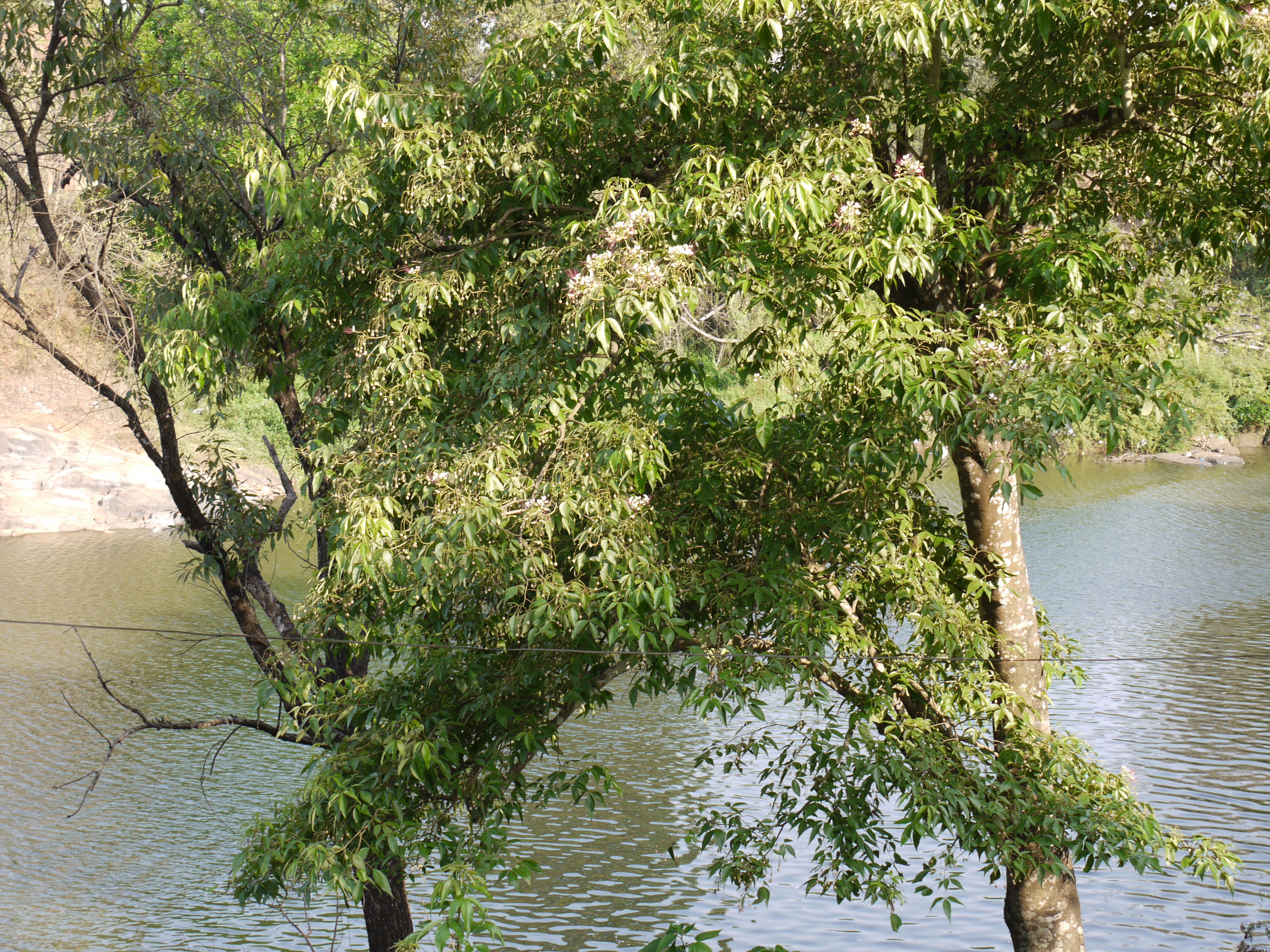
Crateva adansonii

They laughed when they saw their picture on my phone and weighing scale is enough to make a lot of children happy, no need of nintendo 3ds or iPad...
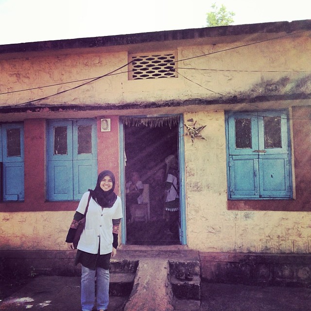
My room is bigger than PHC. Still have some population live in the middle of the dessert! :O
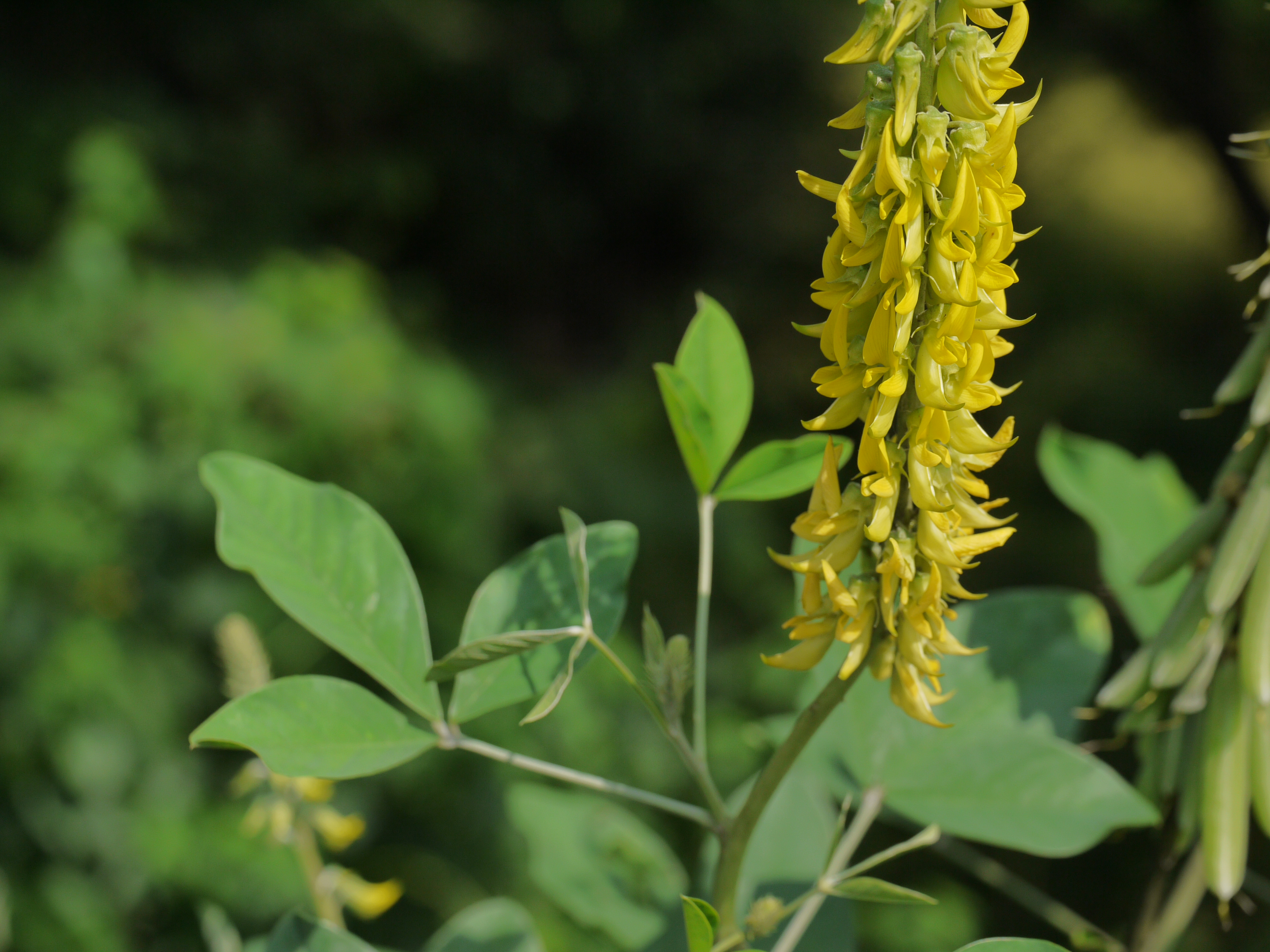
Crotalaria pallida

Crotalaria pallida
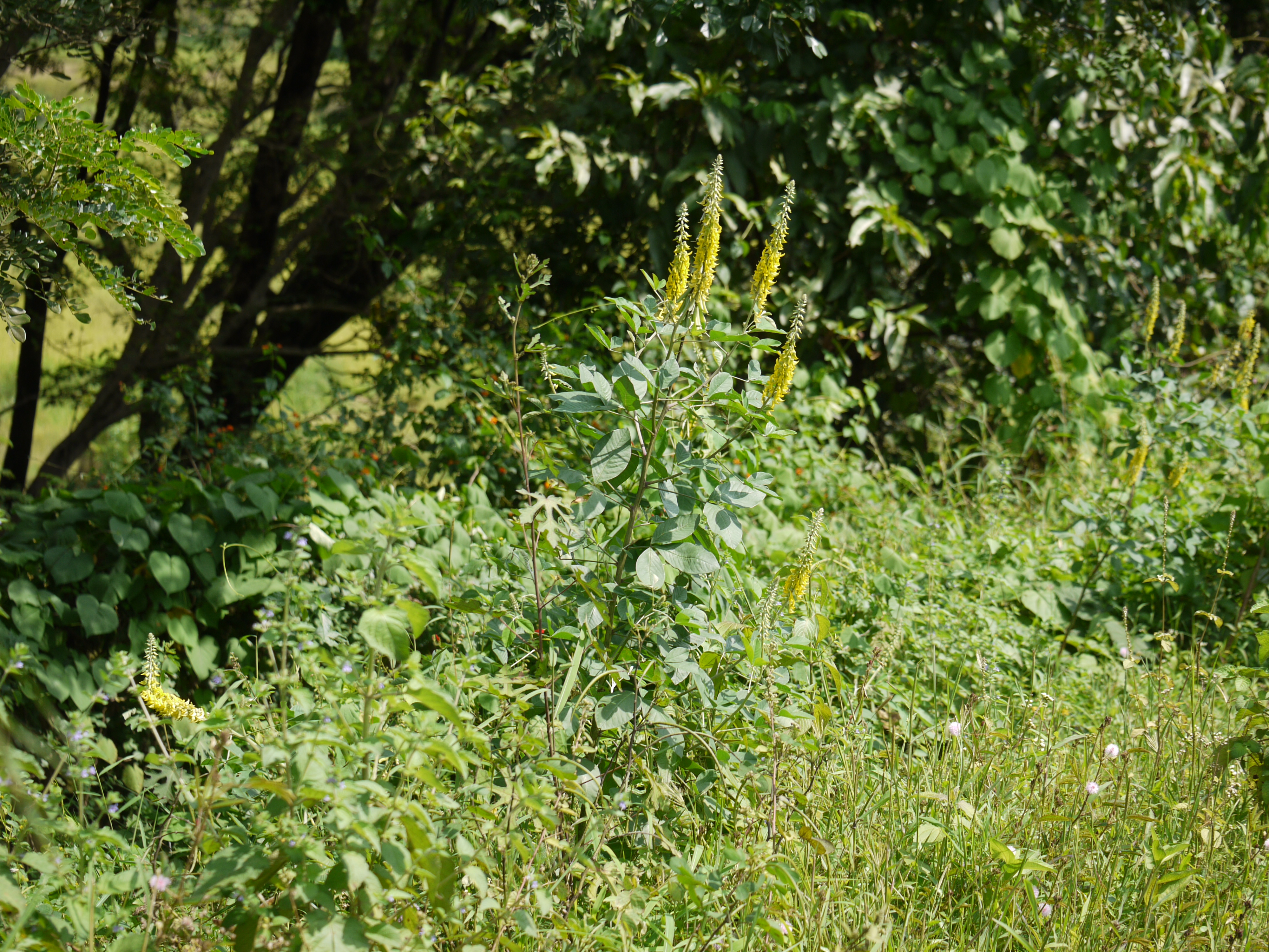
Streaked Rattlepod

Crateva adansonii
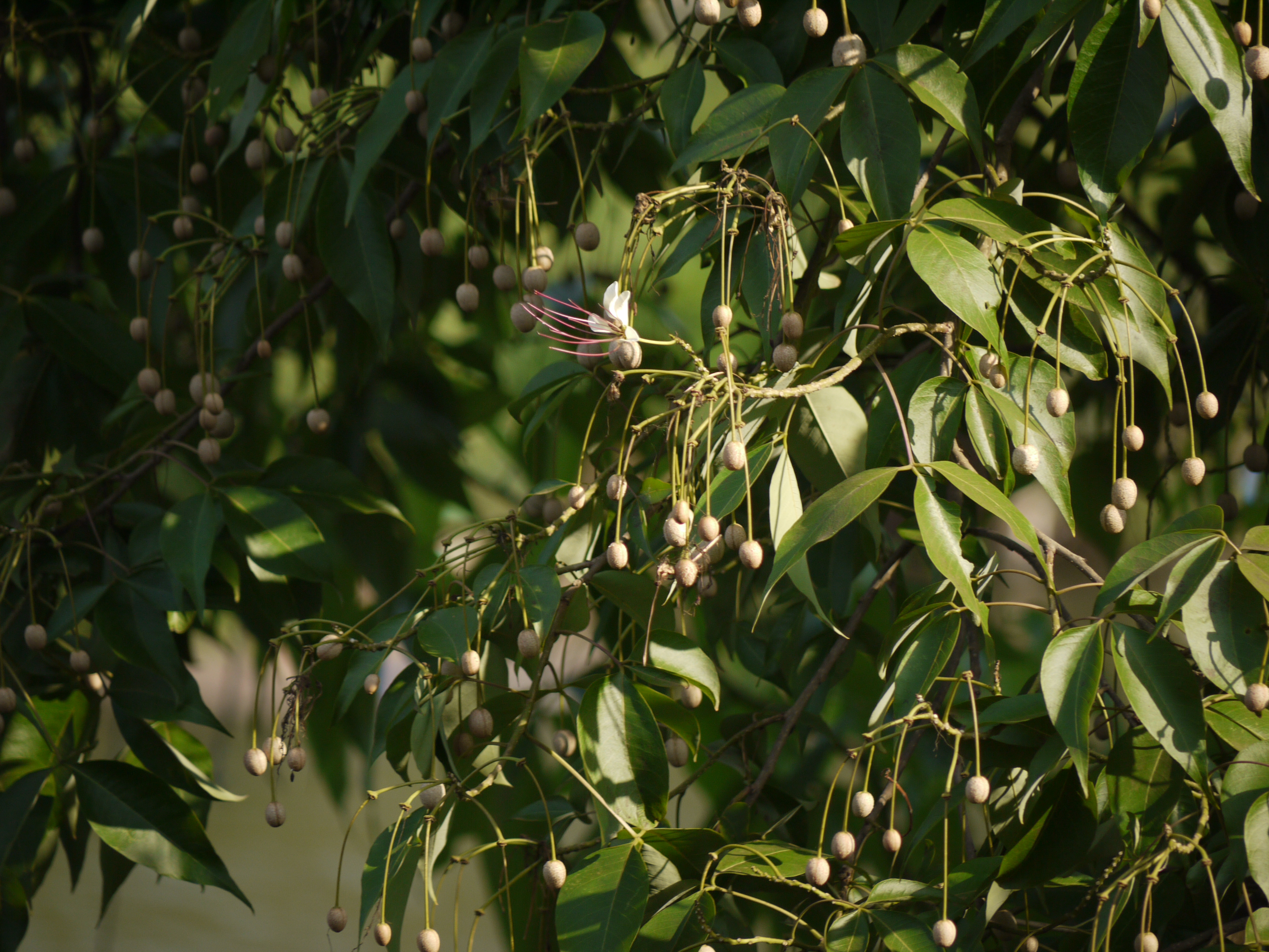
Crateva adansonii

Crateva adansonii
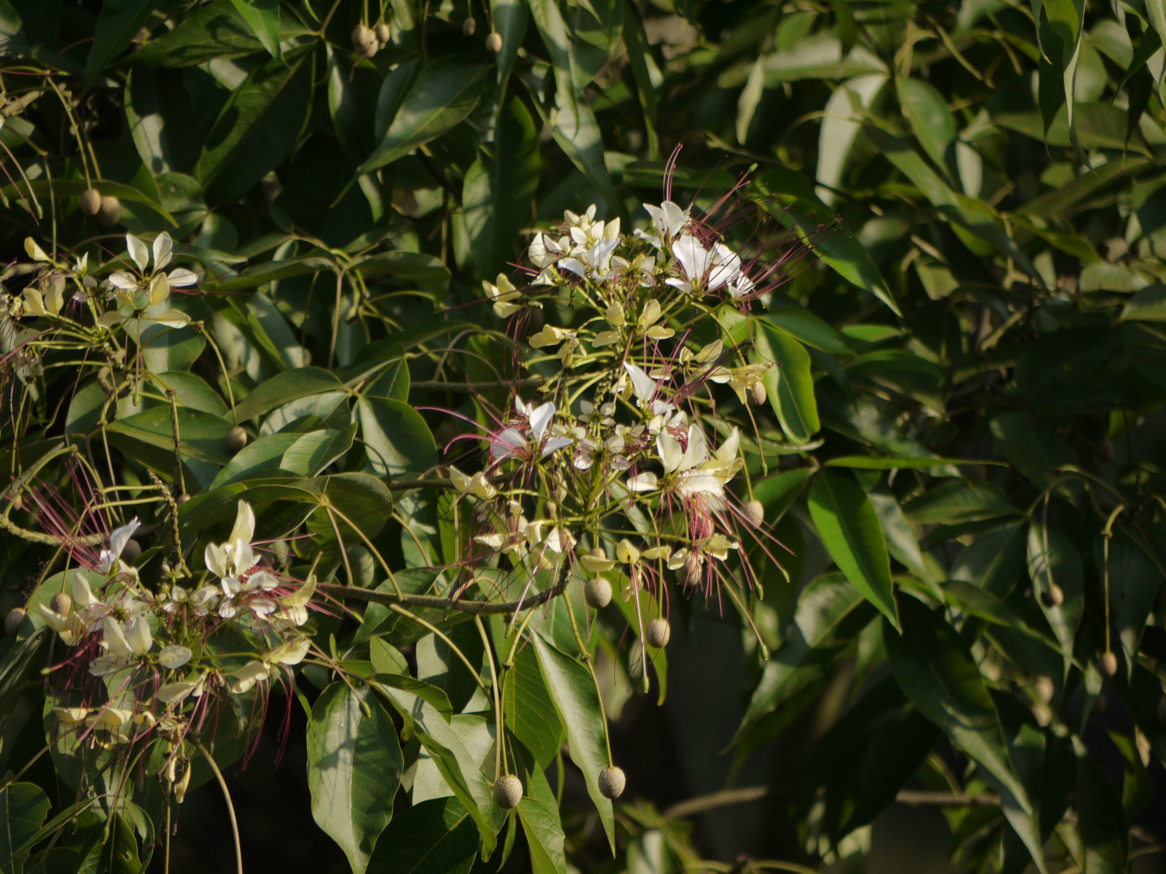
Crateva adansonii
Crateva adansonii
Crateva adansonii
Topographic Map of Khanapur, Karnataka, India
Find elevation by address:

Places near Khanapur, Karnataka, India:
Rajhansagad Yellur Fort
Rajhunsgad Fort
Sbi Colony
Belagavi
Tudiye
Surute
Khalsa Mhalunge
Hajagoli
Dena Bank
Shinoli
Dhekoli
Tilari Waterfalls
Vaitakwadi
Devarwadi
Supe
Mahipal Gad
Dhamne S Bailur
Turkewadi
Sundi
Mauje Karve
Recent Searches:
- Elevation of Congressional Dr, Stevensville, MD, USA
- Elevation of Bellview Rd, McLean, VA, USA
- Elevation of Stage Island Rd, Chatham, MA, USA
- Elevation of Shibuya Scramble Crossing, 21 Udagawacho, Shibuya City, Tokyo -, Japan
- Elevation of Jadagoniai, Kaunas District Municipality, Lithuania
- Elevation of Pagonija rock, Kranto 7-oji g. 8"N, Kaunas, Lithuania
- Elevation of Co Rd 87, Jamestown, CO, USA
- Elevation of Tenjo, Cundinamarca, Colombia
- Elevation of Côte-des-Neiges, Montreal, QC H4A 3J6, Canada
- Elevation of Bobcat Dr, Helena, MT, USA